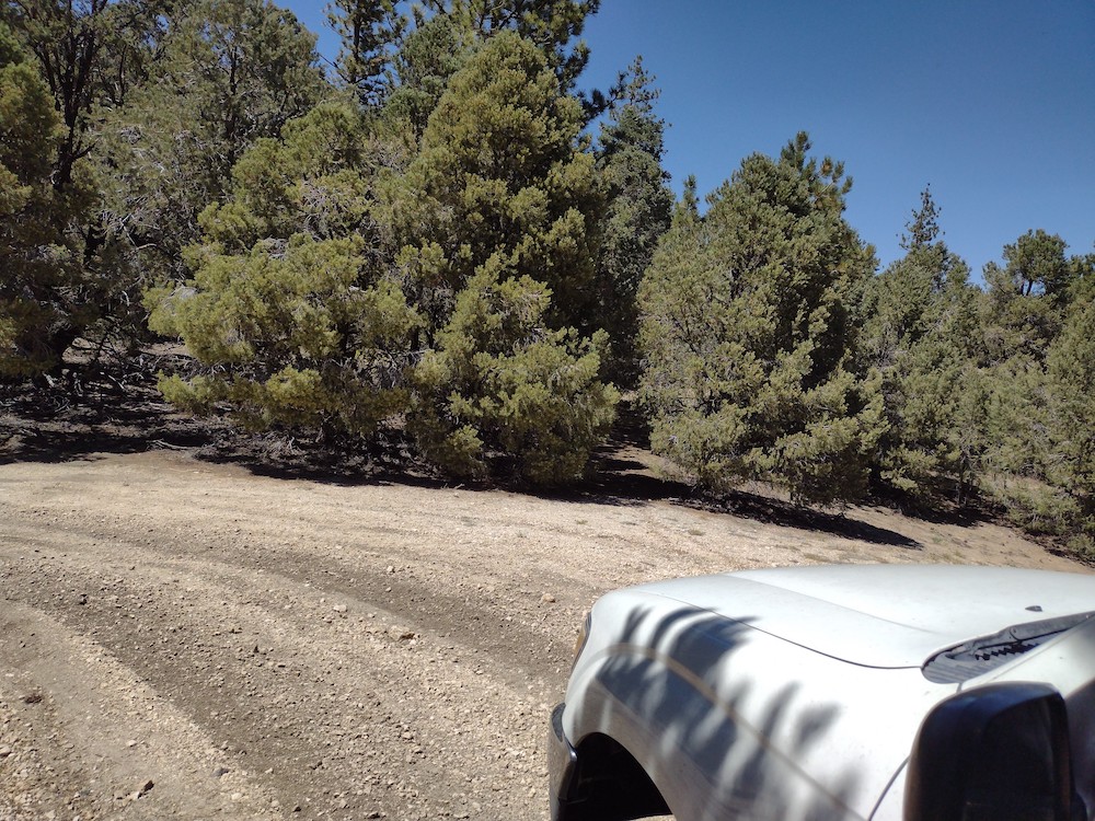
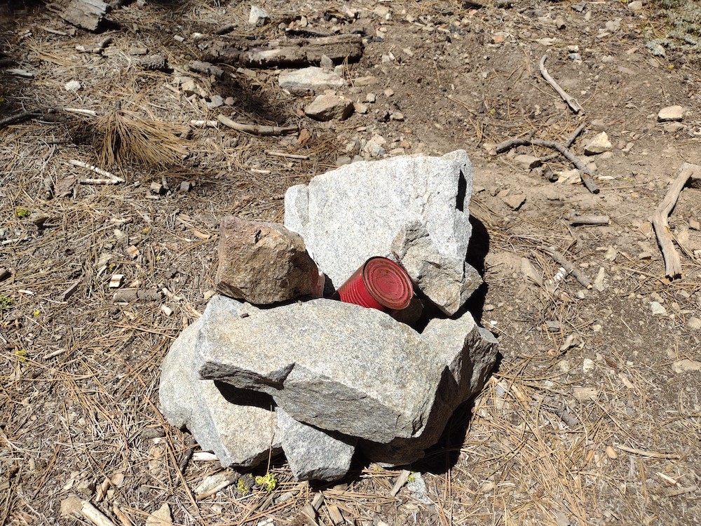
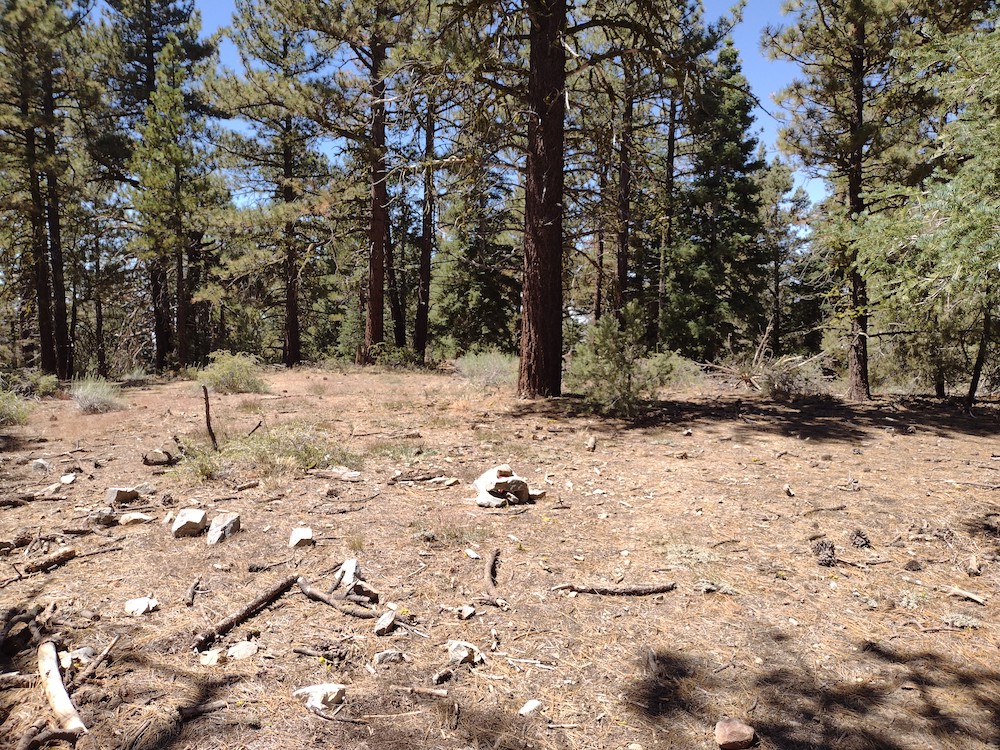
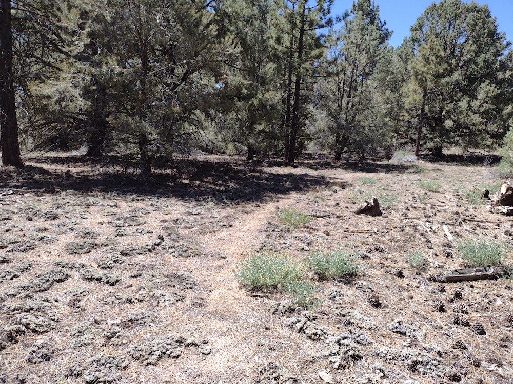
San Emigdio Mountain is basically a drive up. This could be done in a 2wd vehicle with enough clearance; at the time I visited as the road seemed like it was recently graded. I parked at a large turn around area and started hiking up to the top. Once there I realized I went the long way, not a problem though since this was a short hike. I used the Yaesu 817 on the high bands. Worked 10M, 12M, 15M and 17M. Two s2s contacts. I signed the register and started heading down, where I picked up a faint use trail back to the road. I explored an area that looked like it might have been a mine at some point, then headed up the hill to the truck.
https://sotl.as/summits/W6/SC-002
(I screwed up the .gpx recording, but the data below will get you to the summit)
Total climbing: 305 ft
Date:18/08/2023 | Summit:W6/SC-002 (San Emigdio Mountain)
| Time | Callsign | Band | Mode | Notes |
|---|---|---|---|---|
| 20:01 | W6TDX | 18MHz | CW | S55N R54N |
| 20:03 | K9EZ | 18MHz | CW | S52N R33N |
| 20:06 | WW7D | 18MHz | CW | S51N R31N S2S W7W/SN-089 |
| 20:08 | N6AN | 18MHz | CW | S31N R519 S2S W6/CT-225 |
| 20:19 | KC3RT | 24MHz | CW | S51N R43N |
| 20:22 | KK2B | 24MHz | CW | S57N R33N |
| 20:33 | NW7E | 21MHz | CW | S57N R53N |
| 20:38 | WB8BHM | 21MHz | CW | S51N R31N |
| 20:40 | AB4PP | 21MHz | CW | S41N R33N |