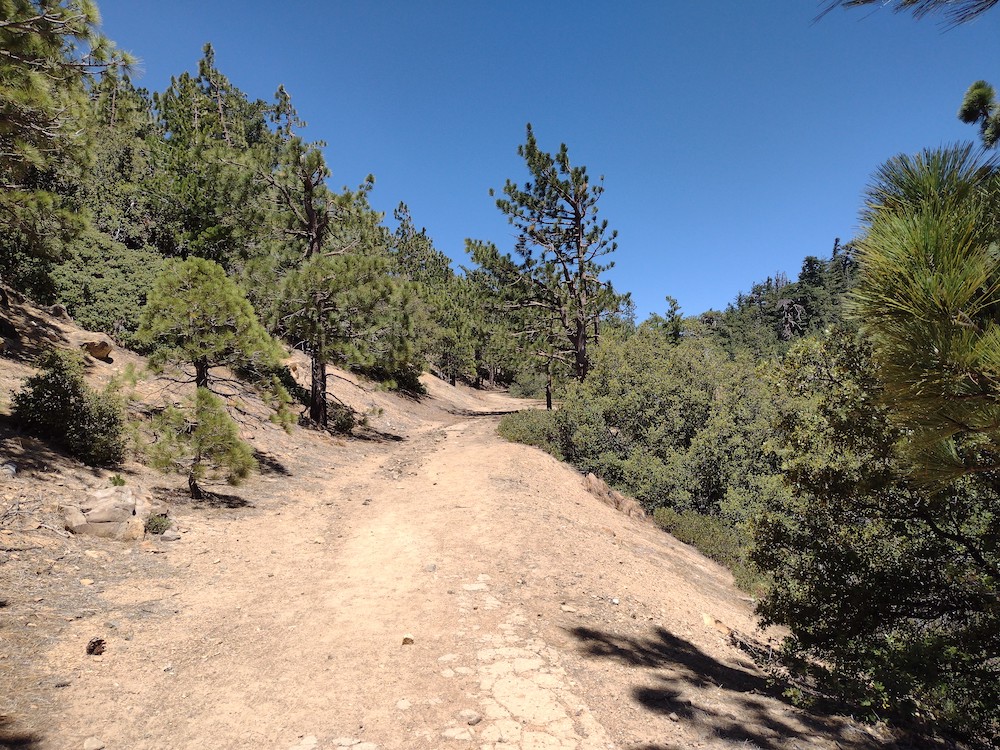
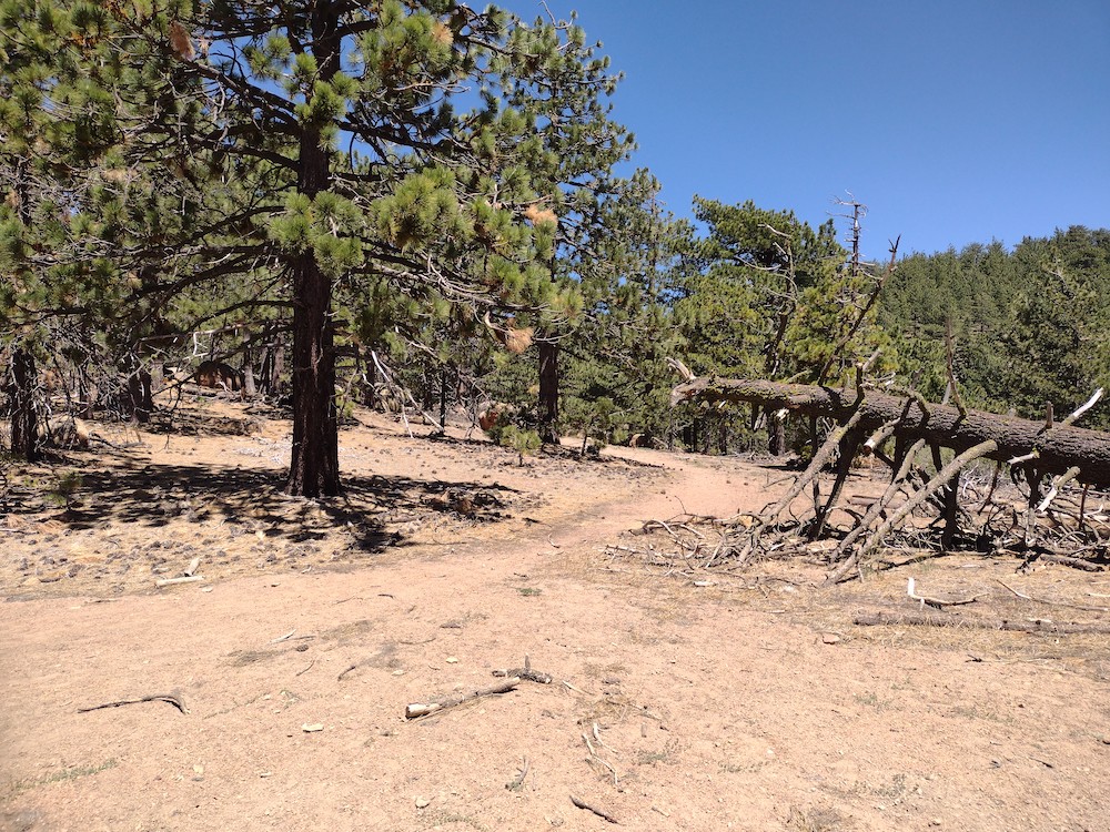
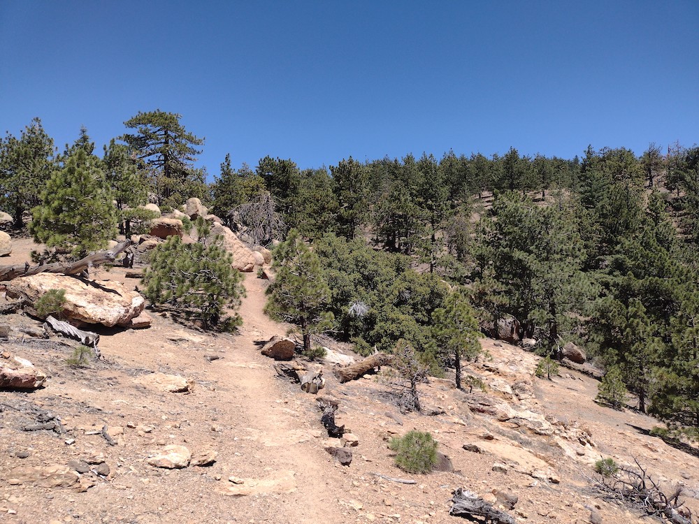
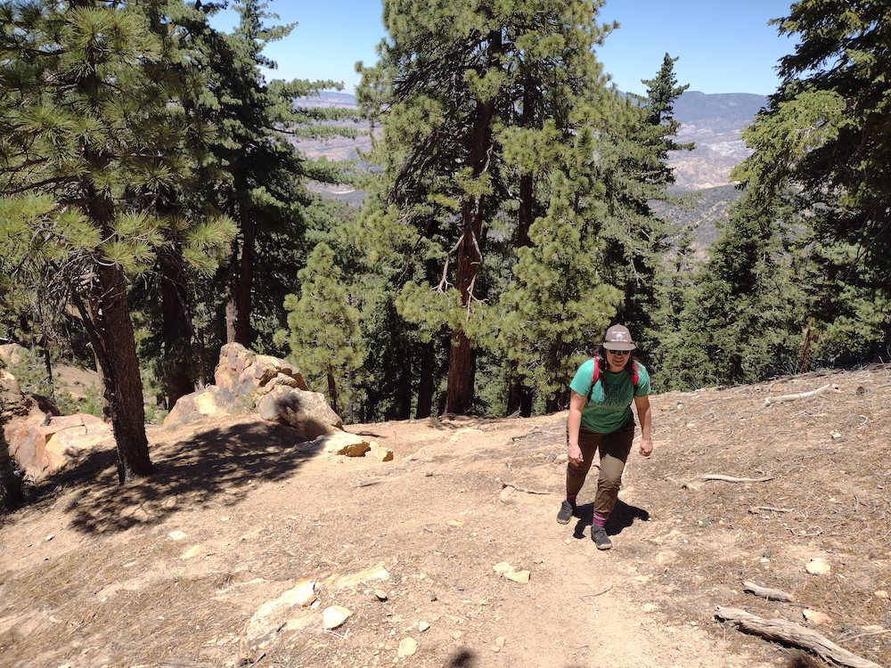
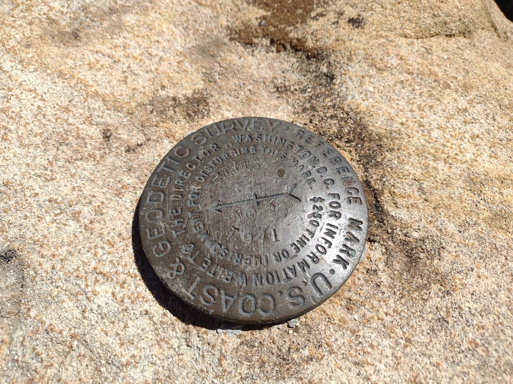
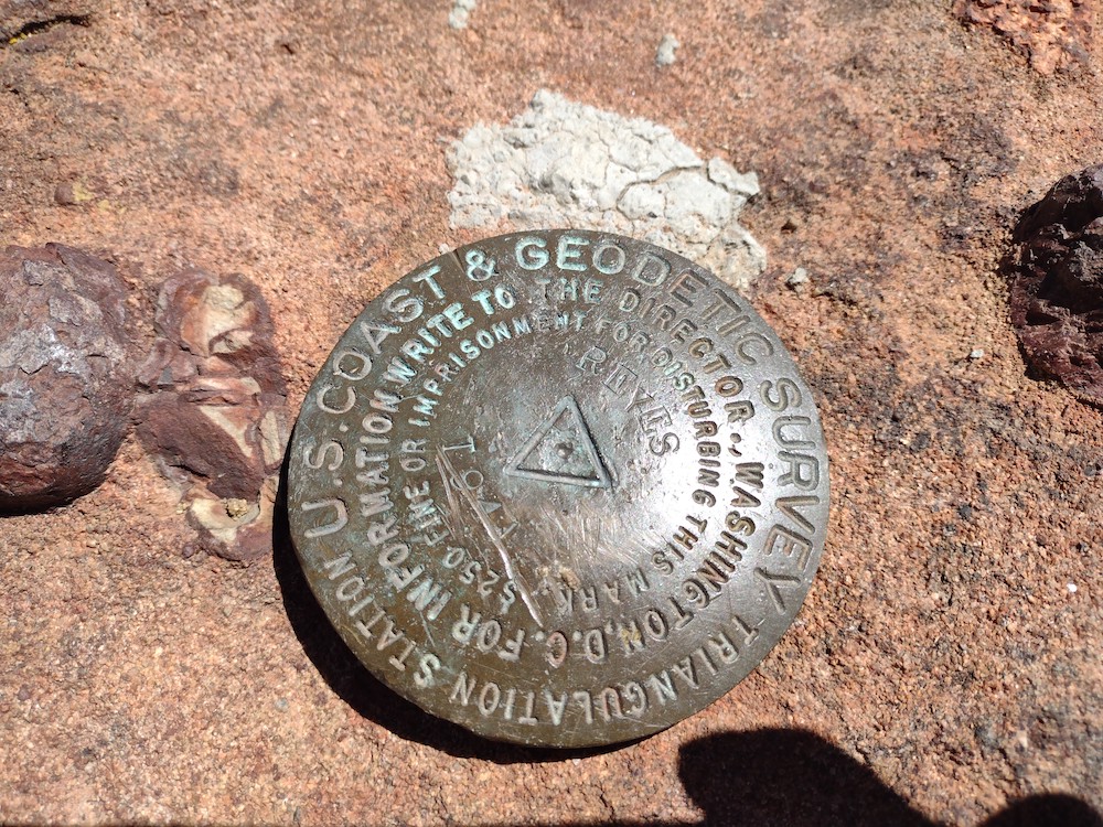
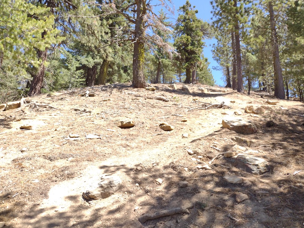
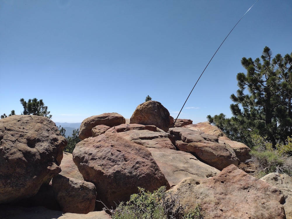
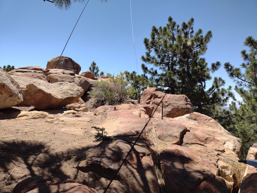
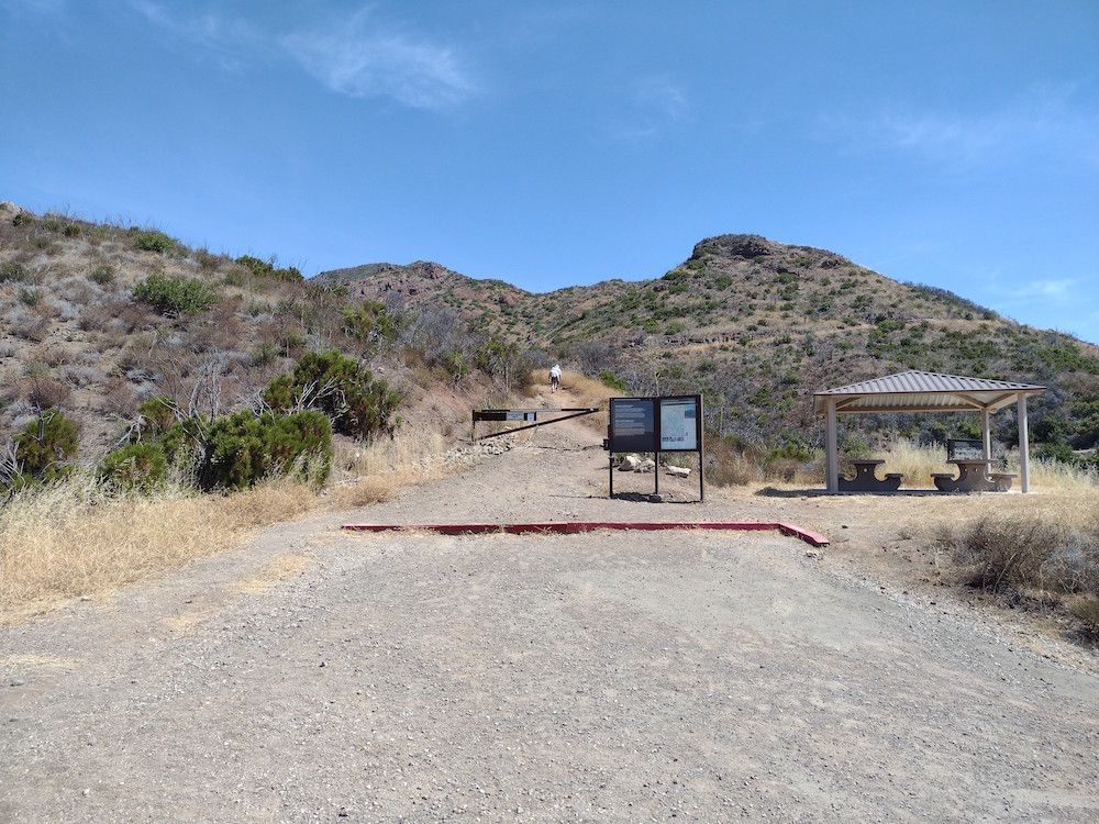
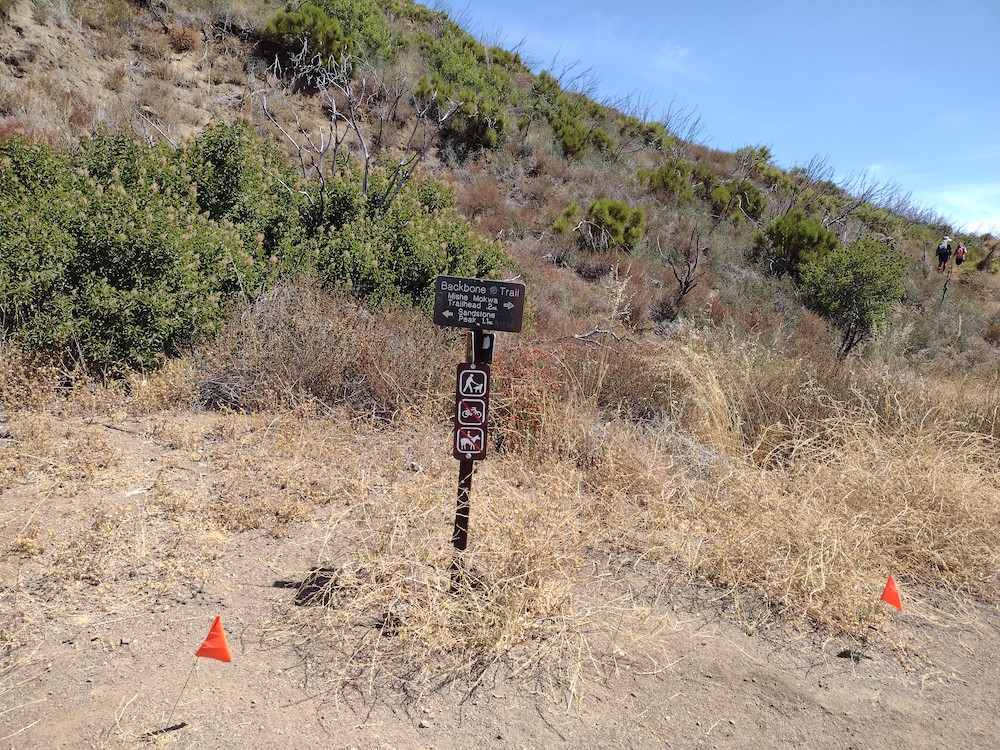
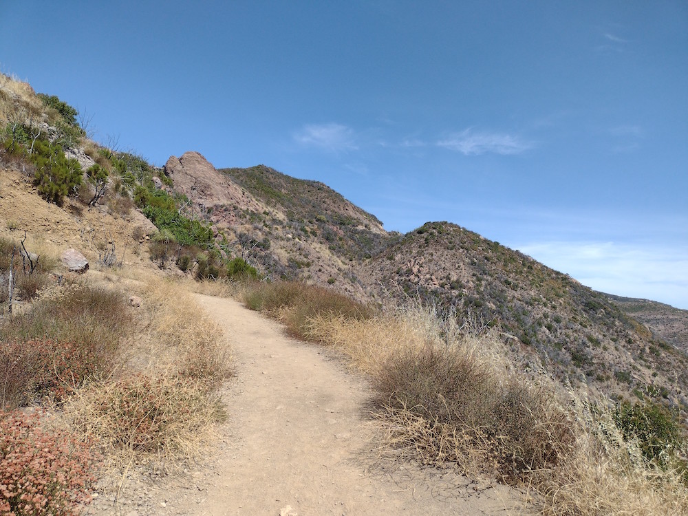
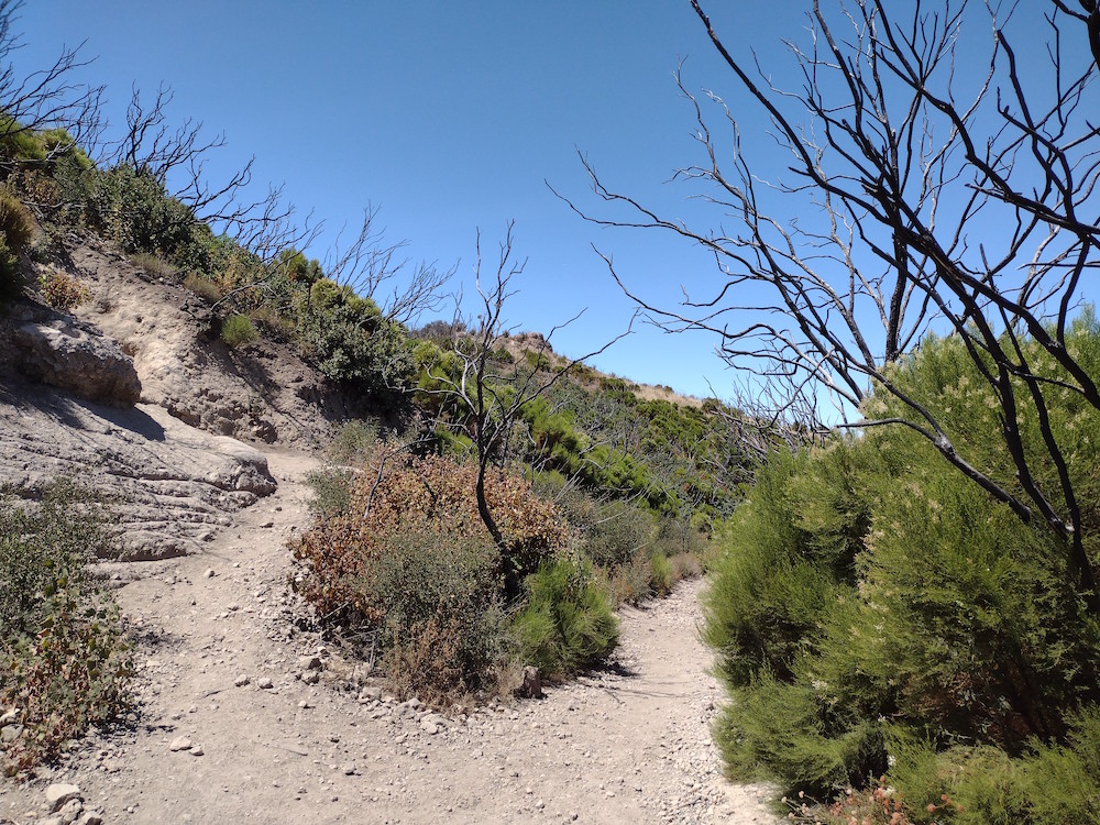
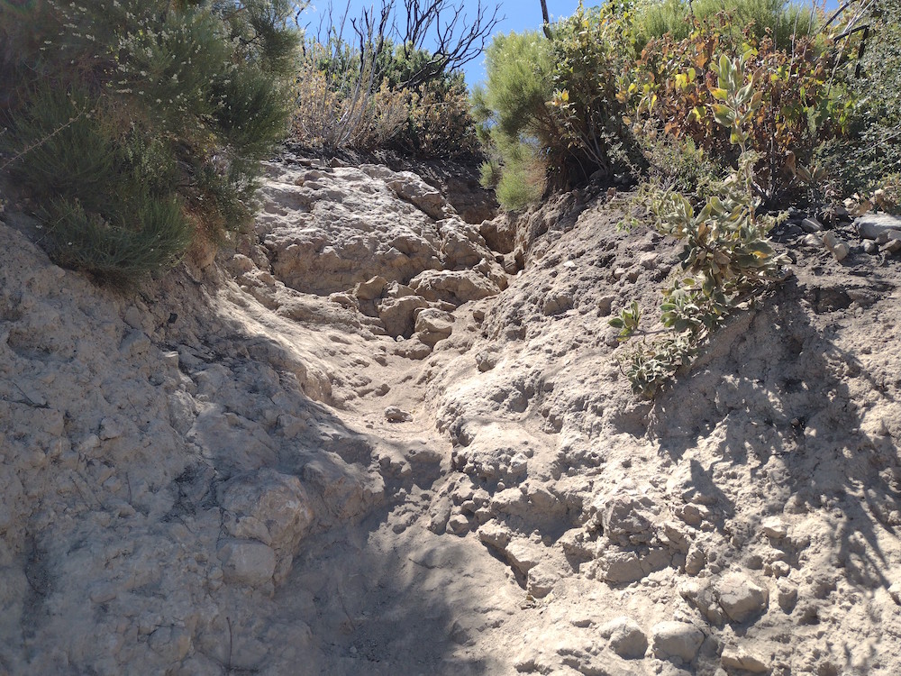
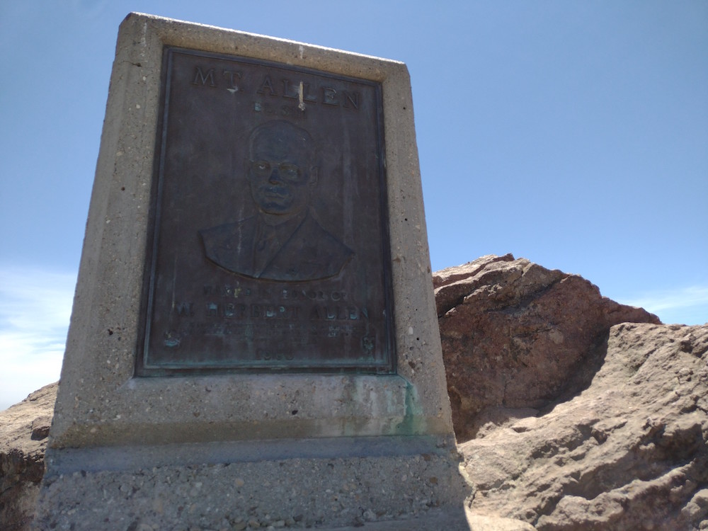
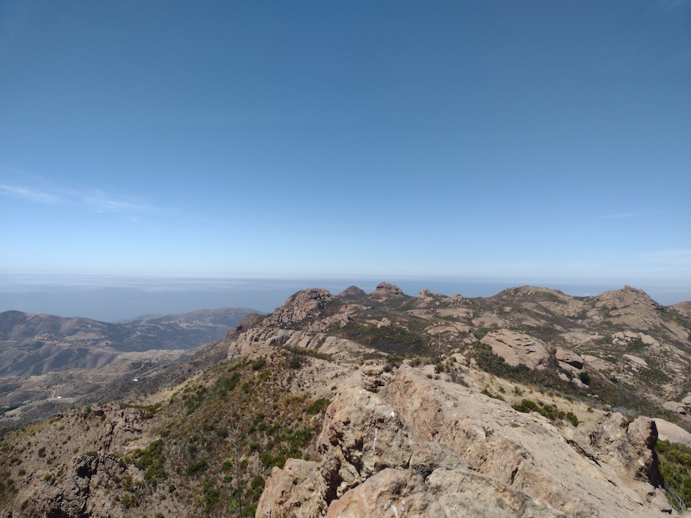
Reyes Peak is one I’ve wanted to activate since starting SOTA in 2019, but hadn’t because it’s a pretty far drive from the our home. On a hot July day my wife and I wanted to get out of the house, so we decided to jump in the car and go for a long drive out to the summit trailhead. Getting there took longer than expected due to slow winding roads. Shortly after starting off on the trailhead, the path splits. Go straight there, up a steep embankment. If you make a left turn to will end up at Haddock Mountain. At the summit is a rock formation you can scramble up. You can find evidence of an old fire lookout tower here. I signed the register and setup my HF antenna; worked 40M, 30M, and 20M. No contacts on 30. After getting back to the car we headed over to Rainbow Falls, then eventually over to Ojai for dinner and a beer.
https://sotl.as/summits/W6/CC-005
Normally I would put a .gpx map in this space, but I don’t believe I recorded one!
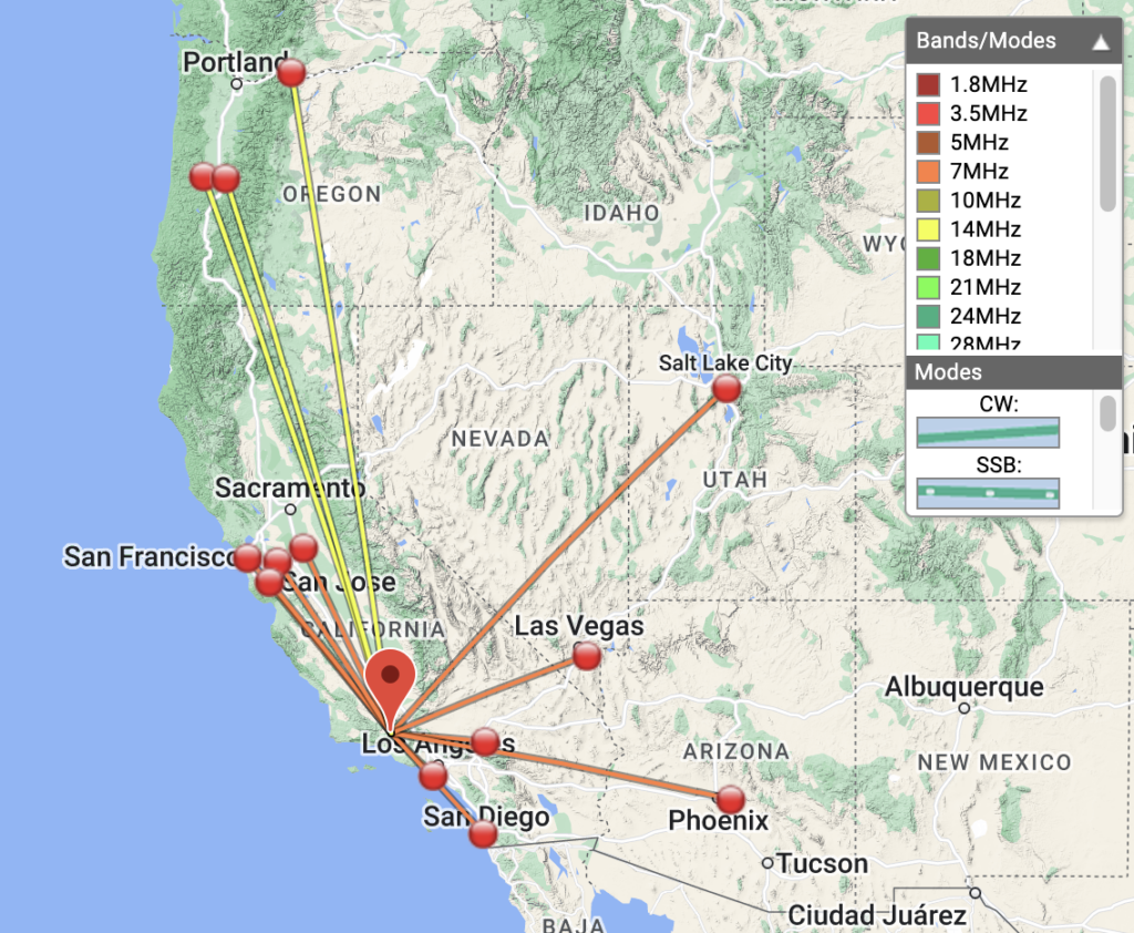
Date:01/07/2022 | Summit:W6/CC-005 (Reyes Peak)
| Time | Callsign | Band | Mode | Notes |
|---|---|---|---|---|
| 21:55 | NT6E | 7MHz | CW | S52N R52N |
| 21:56 | K7EA | 7MHz | CW | S55N R33N |
| 21:57 | K6EL | 7MHz | CW | S45N R55N S2S W6/CC-072 |
| 22:00 | KN6EZE | 7MHz | CW | S53N R55N |
| 22:06 | W6LZY | 7MHz | CW | S57N R53N |
| 22:07 | K6YK | 7MHz | CW | S57N R55N |
| 22:11 | N6TE | 7MHz | CW | S58N R57N |
| 22:12 | KE6MT | 7MHz | CW | S57N R55N |
| 22:13 | W7SKH | 7MHz | CW | S58N R599 |
| 22:13 | W7CBR | 7MHz | CW | S55N R599 |
| 22:15 | K3GX | 7MHz | CW | S51N R44N |
| 22:27 | AC1GE | 14MHz | CW | S42N R33N |
| 22:28 | NS7P | 14MHz | CW | S58N R57N |
| 22:28 | W6TDX | 14MHz | CW | S52N R52N |
| 22:34 | KD7LX | 14MHz | CW | S52N R33N |
