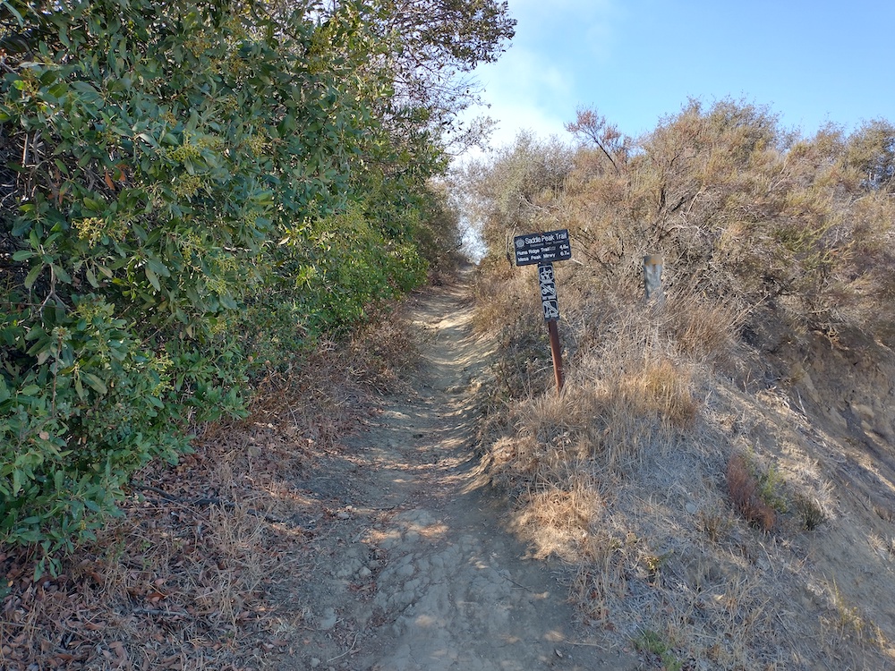
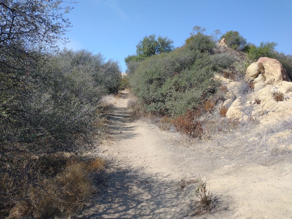
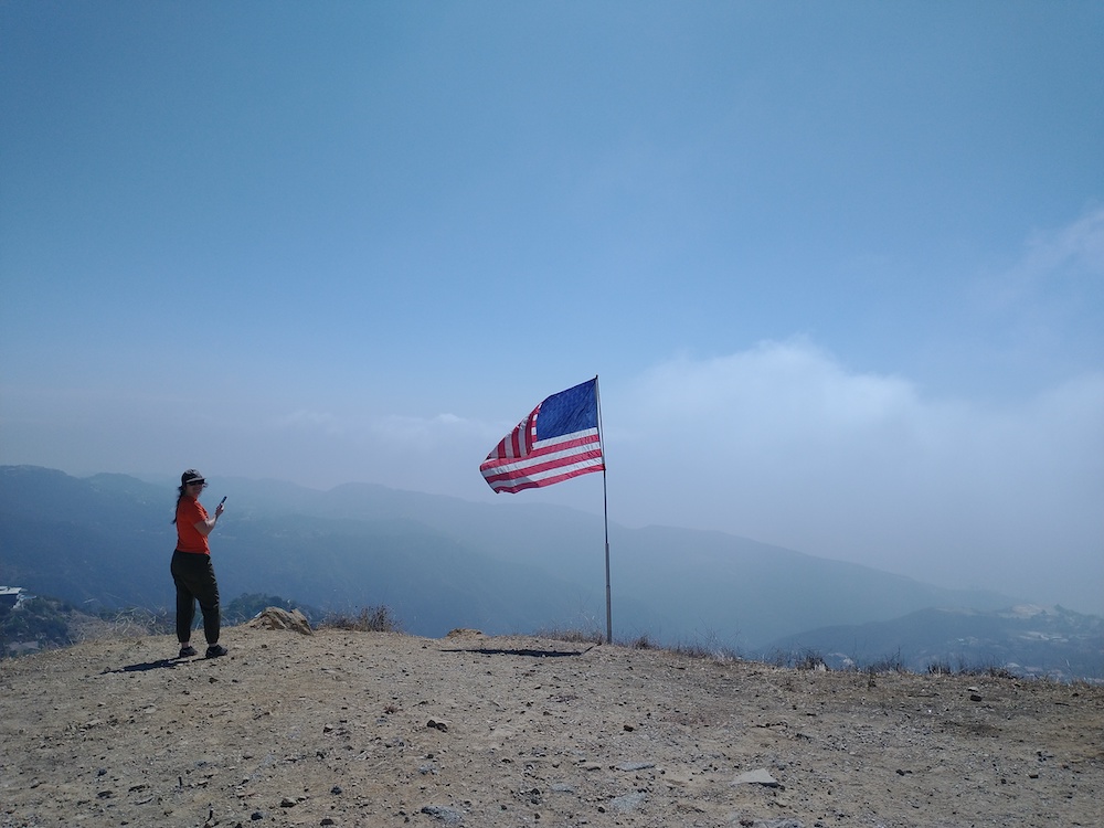
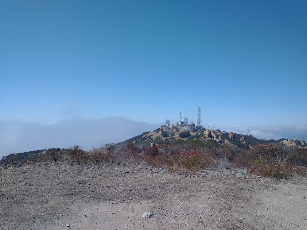
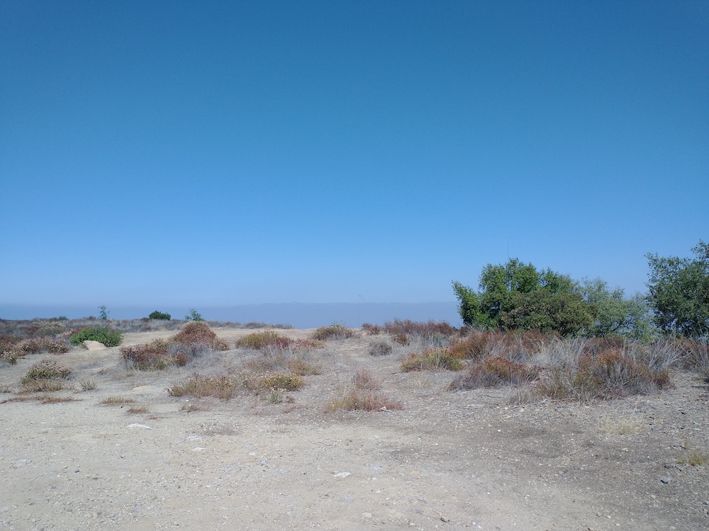
At the time of this activation, the Angeles National Forest was closed due to fires, so my SOTA efforts move to the Santa Monica Mountains. Saddle Peak is a 2 point summit and is well hiked by locals. An quick mile up, and a mile down makes this an easy summit to bag, but please note there isn’t much shade. At the summit, paragliders were starting their flights to the beach in Malibu. Worked 20M SSB/ CW and 30M CW.
https://sotl.as/summits/W6/CT-274
Total distance: 2 mi
Max elevation: 2789 ft
Total climbing: 537 ft
Download file: Saddle_Peak.GPX
Max elevation: 2789 ft
Total climbing: 537 ft
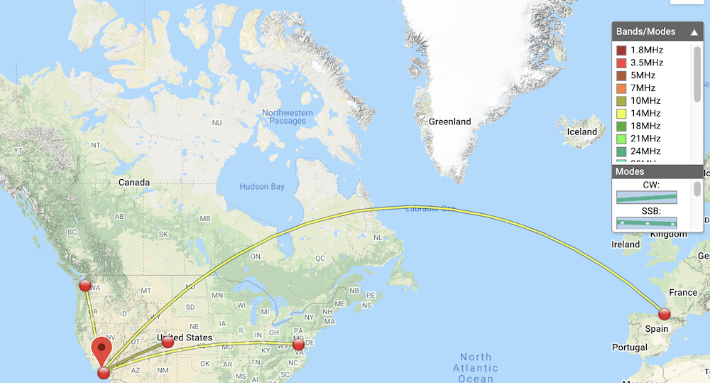
Date:17/09/2021 | Summit:W6/CT-274 (Saddle Peak)
| Time | Callsign | Band | Mode | Notes |
|---|---|---|---|---|
| 18:34 | KN6PHZ | 14MHz | SSB | S57 R56 |
| 18:37 | WW7D | 14MHz | SSB | S56 R53 |
| 18:38 | K6LDQ | 14MHz | SSB | S59 R56 |
| 18:39 | W4KRN | 14MHz | SSB | S52 R33 |
| 18:54 | WY7N | 10MHz | CW | S559 R52N S2S W7U/TO-016 |
| 19:02 | WG0AT | 10MHz | CW | S579 R529 |
| 19:13 | N4LAG | 14MHz | CW | S559 R549 S2S W0D/BB-028 |
| 19:21 | N6ARA | 14MHz | CW | S599 R5NN S2S W6/CT-153 |
| 19:23 | F4WBN | 14MHz | CW | S549 R5NN |