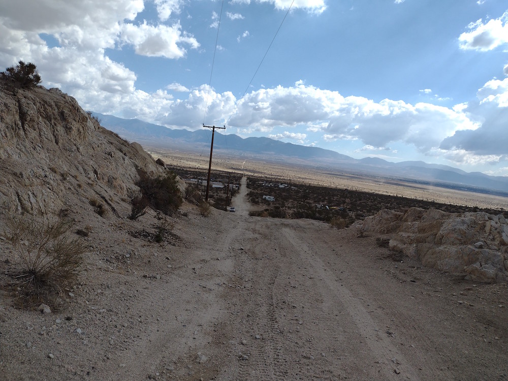
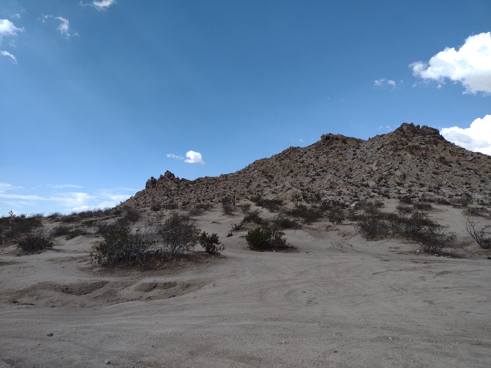
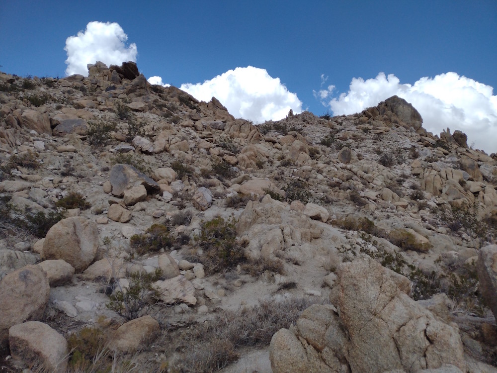
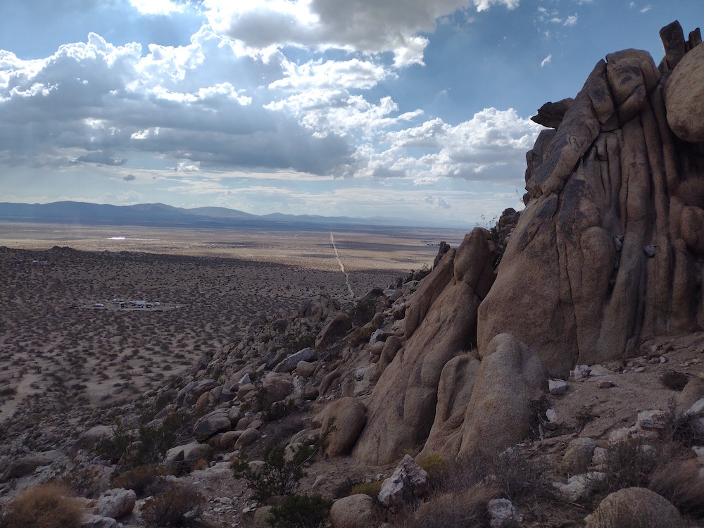
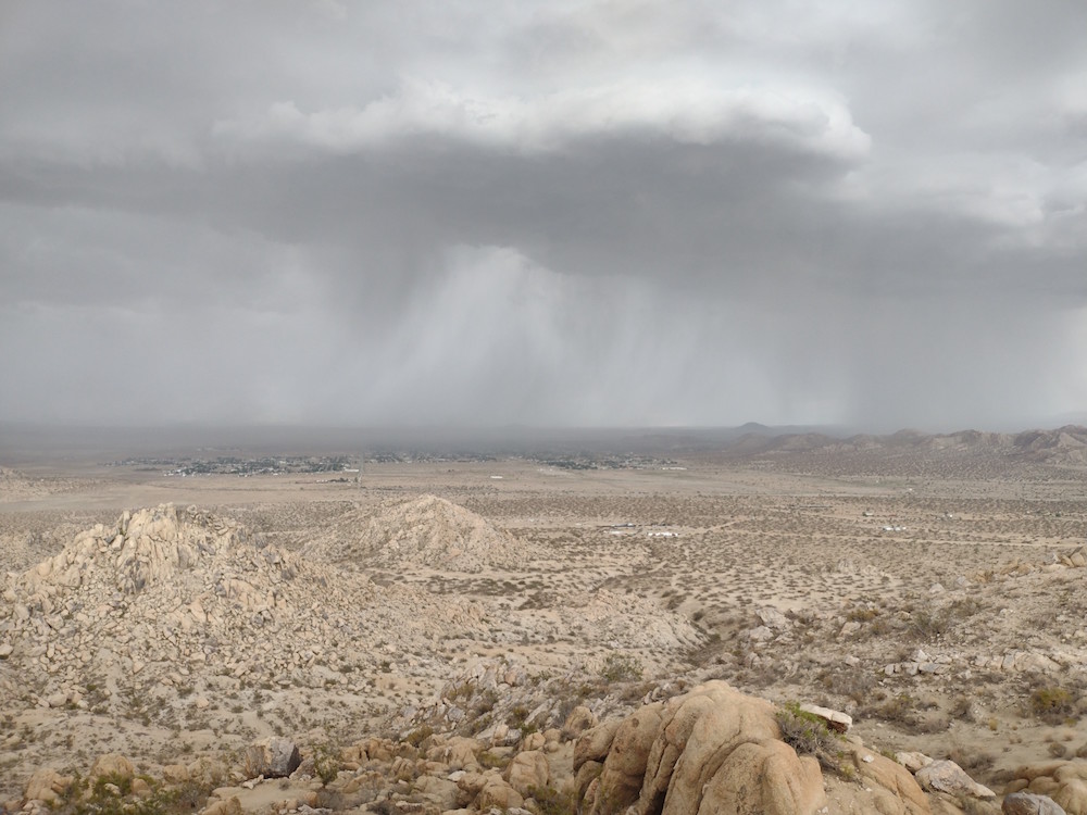
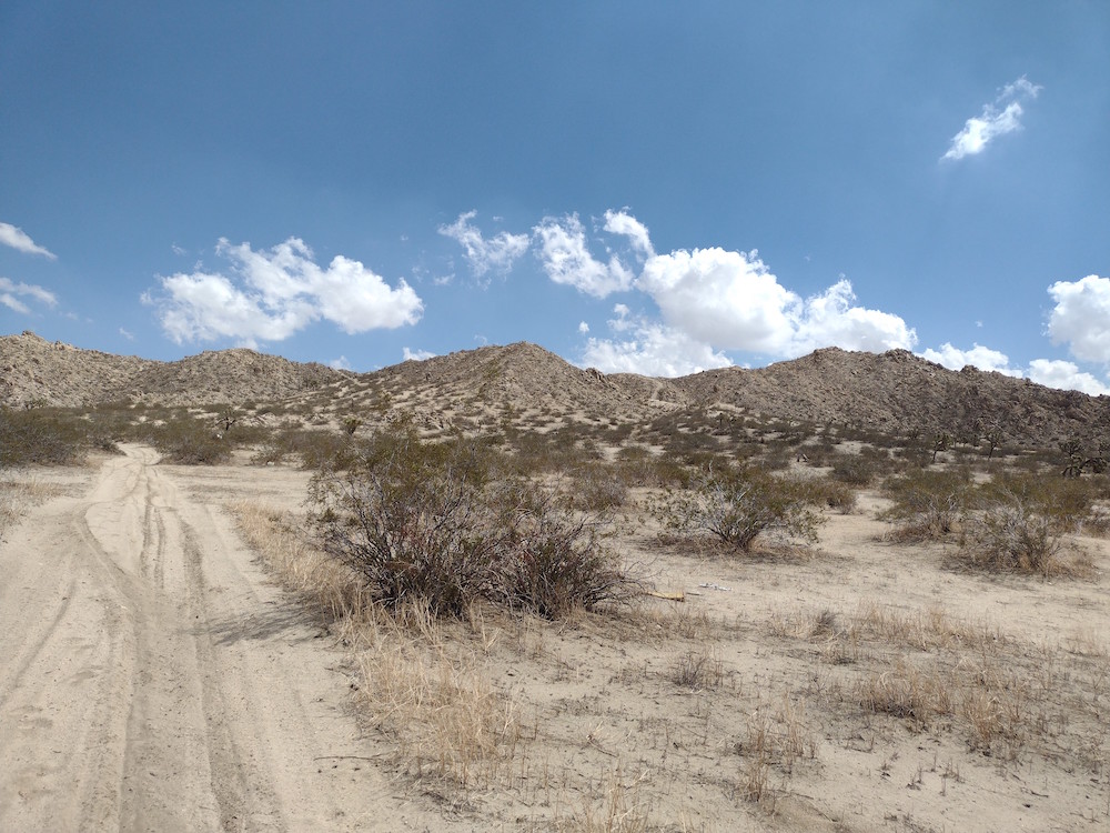
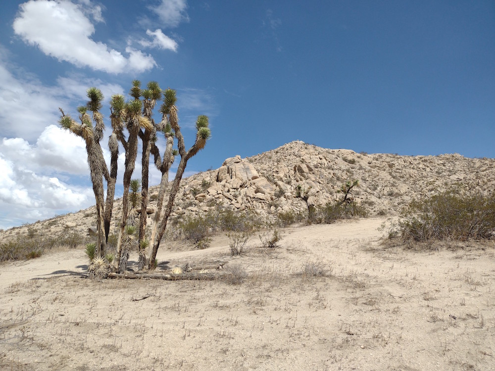
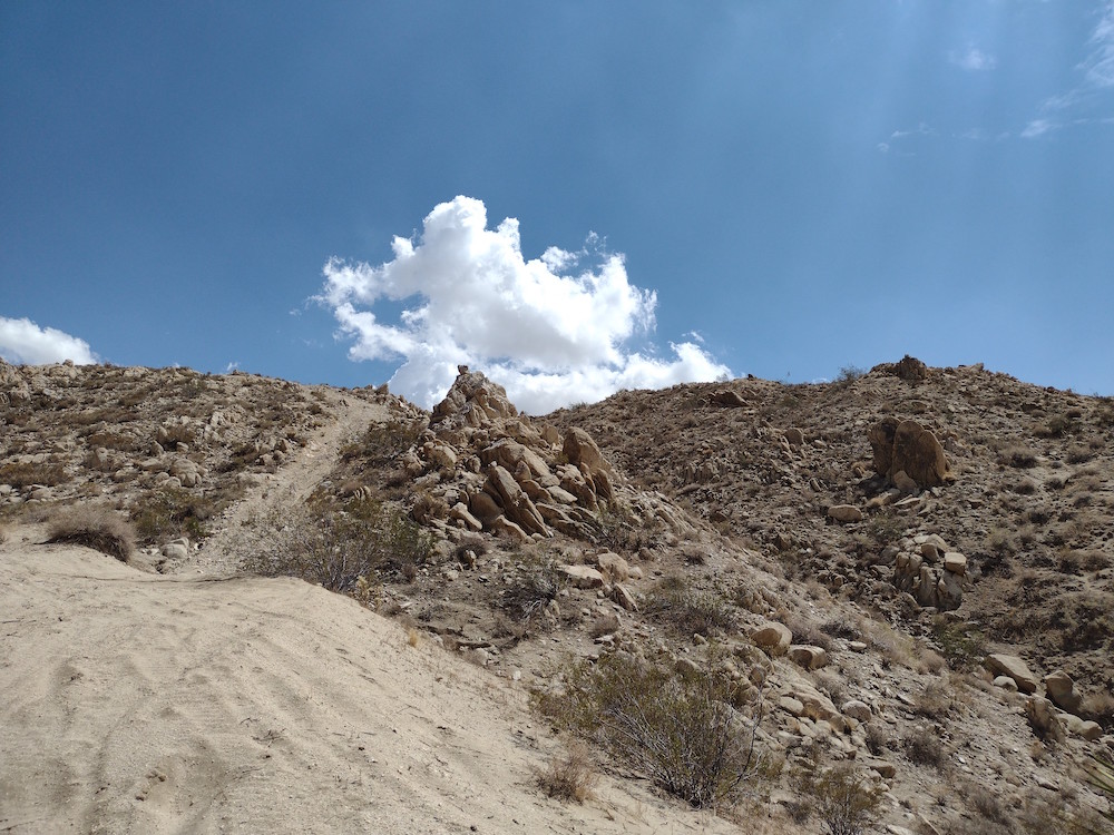
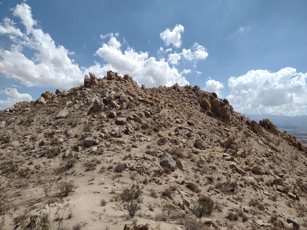
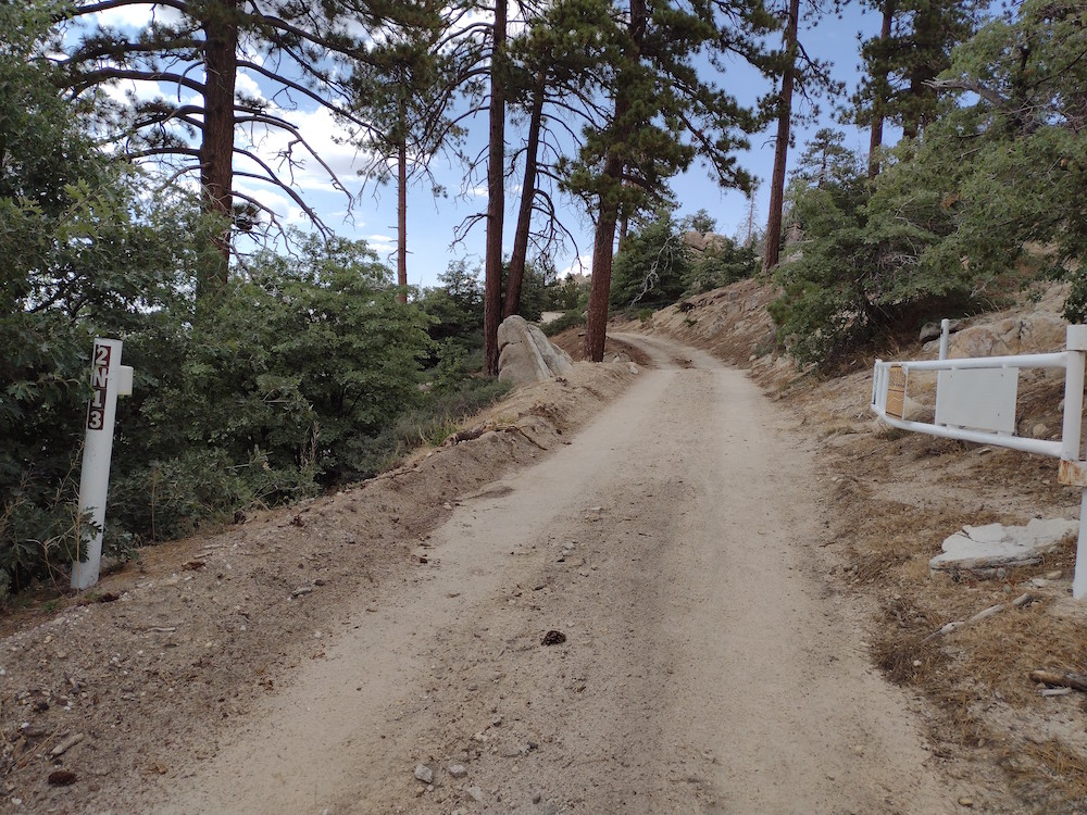
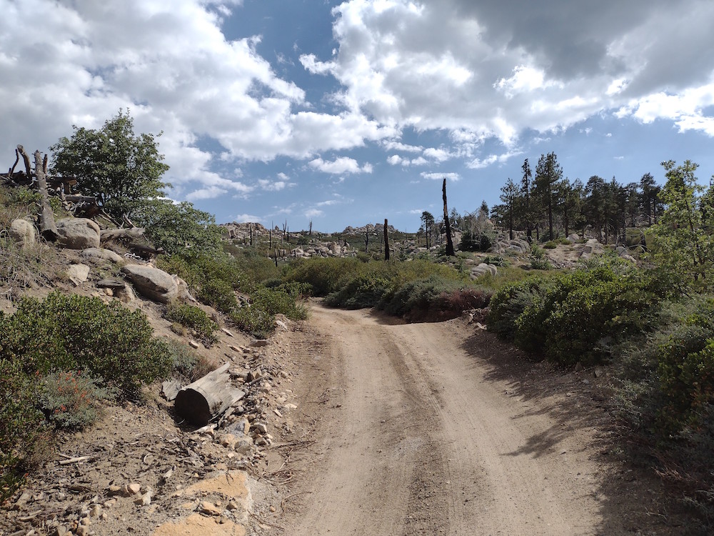
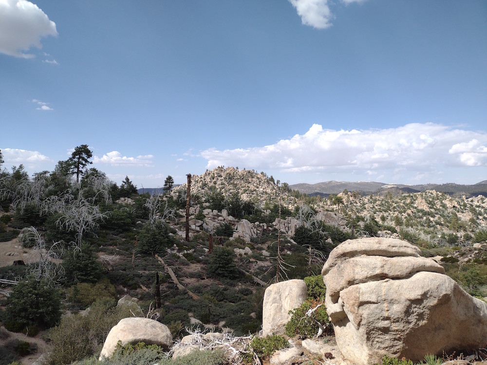
This was my second activation of the day, having just left Lovejoy Butte earlier. I parked my small car as far up 136th Street East as I could and walked the short distance to the base of the butte. From here it’s just a short scramble to the top. Once at the summit, I found thousands of red flying ants, the same I’ve seen at other desert summits. I wonder why they like peaks so much? Not wanting to get friendly with them I setup my endfed half wave just off to the side. I had just over an hour before UTC time changed so I worked quickly while I noticed a monsoon coming my way. The the middle of a QSO on 20M, I felt a big fat raindrop, then a few more. I quickly tore my station down, scrambled down the butte and over to the car. By the time I got to the intersection of 136th street and Ave O, the rain was absolutely pouring to the point my wipers couldn’t keep up. Driving around a bit I noted the washes, dry most of the time, were starting to turn into rivers. I stopped at a high point and walked around in the desert to enjoy the rain before heading back to Los Angeles, where it didn’t rain at all.
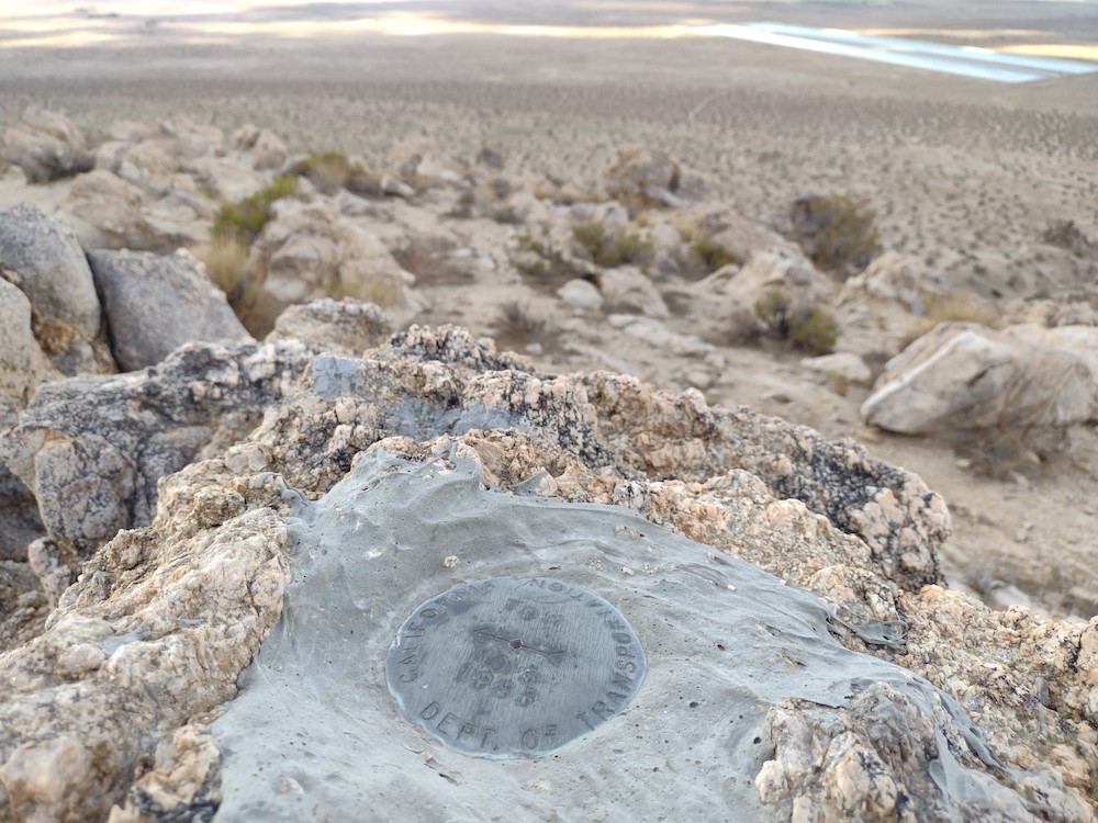
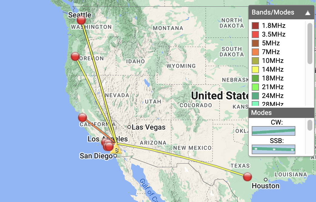
https://sotl.as/summits/W6/ND-334
Max elevation: 3166 ft
Total climbing: 597 ft
Date:11/09/2022 | Summit:W6/ND-334 (Alpine Butte)
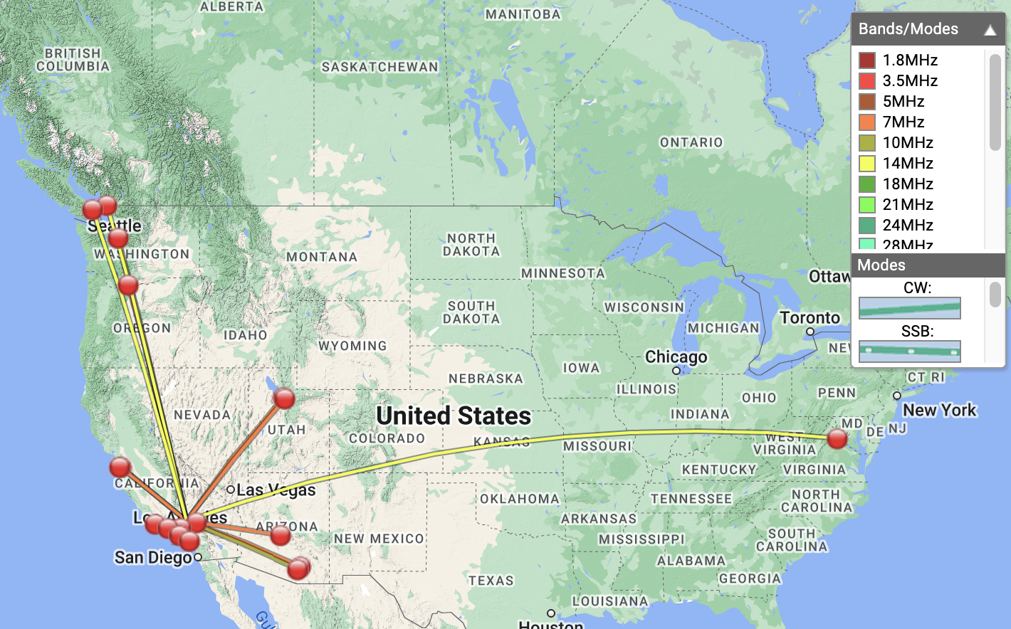
| Time | Callsign | Band | Mode | Notes |
|---|---|---|---|---|
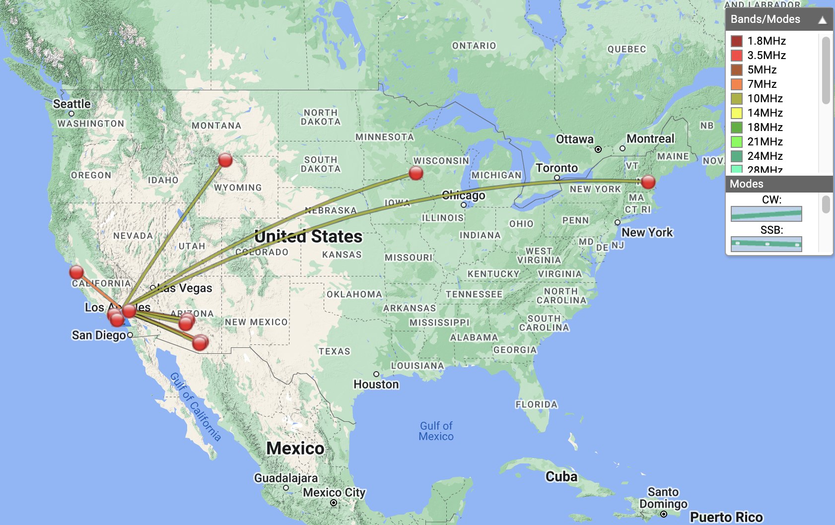
| 22:58 | NT6E | 7MHz | CW | S599 R55N |
| 22:59 | KE6MT | 7MHz | CW | S57N R55N |
| 23:00 | K6TUY | 7MHz | CW | S55N R5NN |
| 23:05 | KN6EZE | 7MHz | CW | S599 R599 S2S W6/ND-257 |
| 23:06 | KR7RK | 7MHz | CW | S57N R55N |
| 23:07 | KF6HI | 7MHz | CW | S58N R549 |
| 23:09 | N6CVQ | 7MHz | CW | S55N R57N |
| 23:10 | KN6RDC | 7MHz | CW | S51N R52N |
| 23:12 | K7EA | 7MHz | CW | S53N R53N |
| 23:12 | K7GUD | 7MHz | CW | S56N R51N |
| 23:13 | KD7LX | 7MHz | CW | S51N R52N |
| 23:15 | WB6POT | 7MHz | CW | S57N R57N |
| 23:16 | K6CPR | 7MHz | CW | S58N R55N |
| 23:17 | NA7C | 7MHz | CW | S56N R44N |
| 23:20 | KK9TT | 7MHz | CW | S57N R599 |
| 23:30 | AF7M | 10MHz | CW | S56N R55N |
| 23:31 | WW7D | 10MHz | CW | S54N R42N |
| 23:43 | W4KRN | 14MHz | CW | S51N R42N |
| 23:45 | VE7HI | 14MHz | CW | S51N R33N |
| 23:48 | VE7JH | 14MHz | CW | S42N R57N S2S VE7/CL-047 |