W6/ND-026 – Gilbert Peak

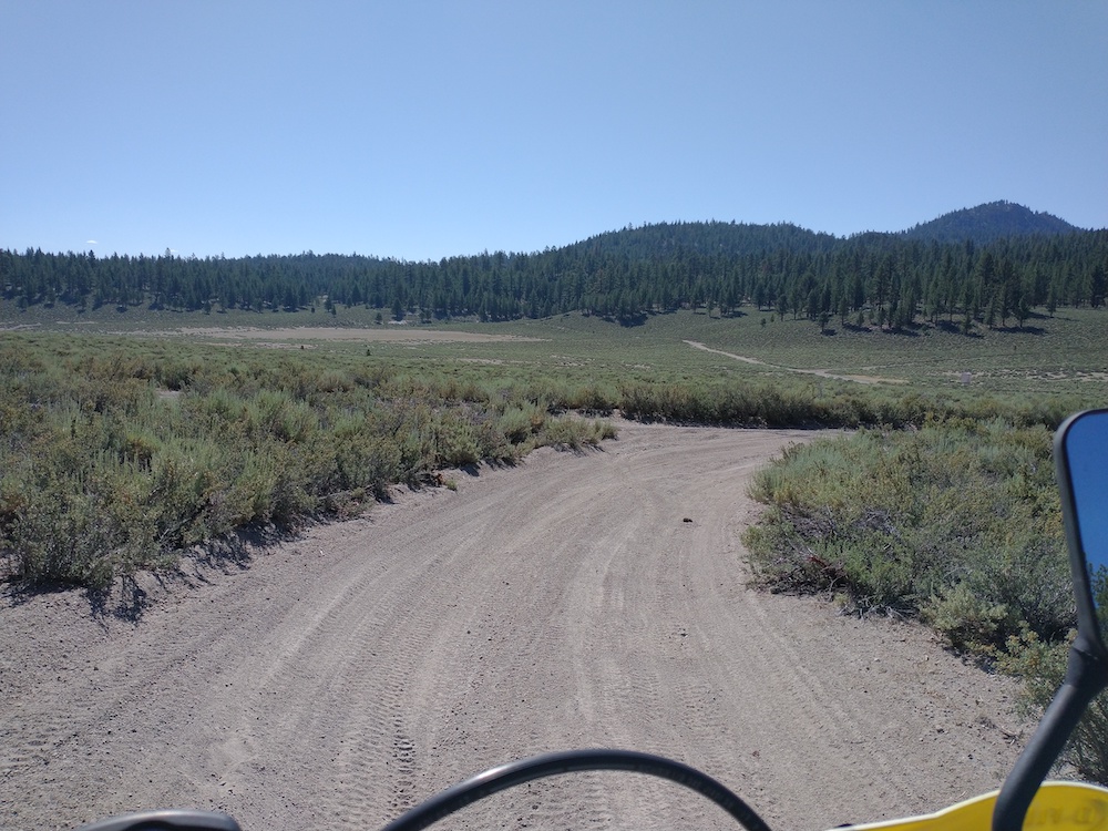
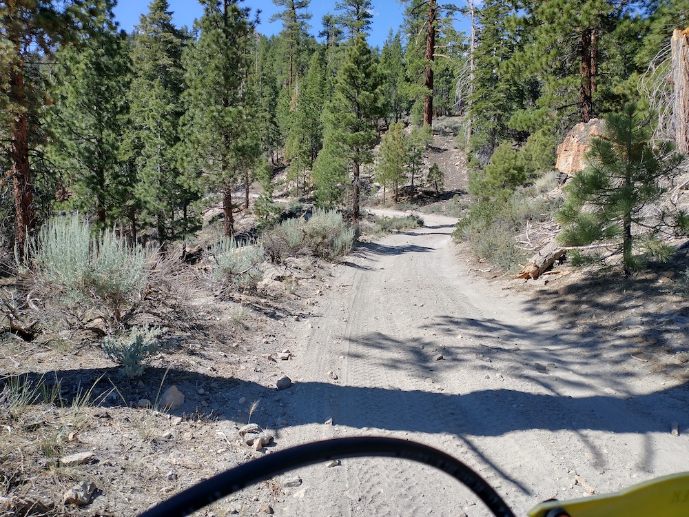
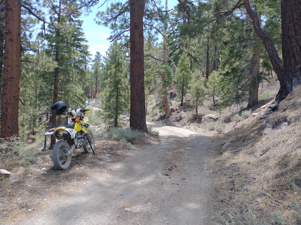
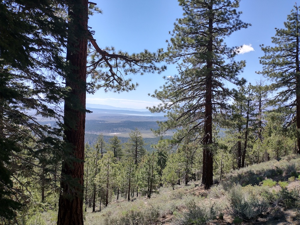
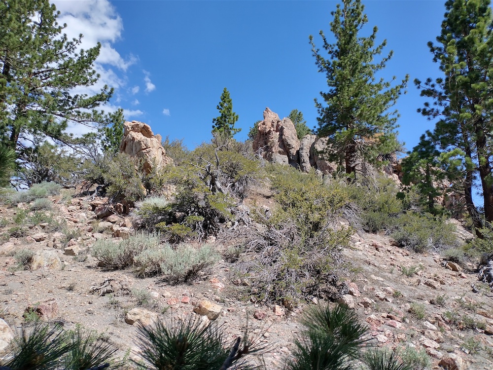
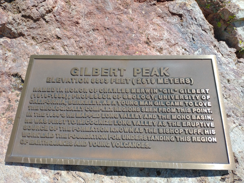
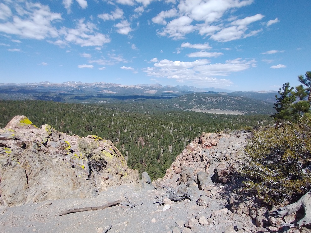
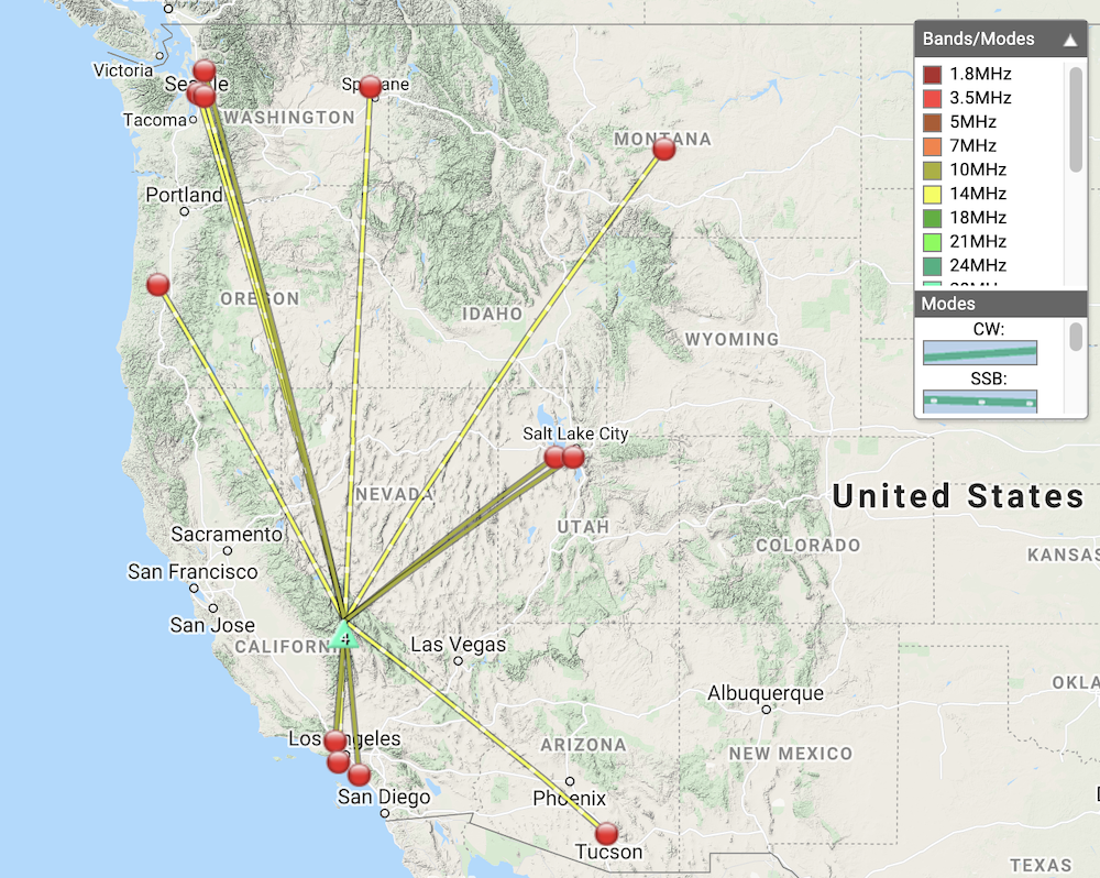
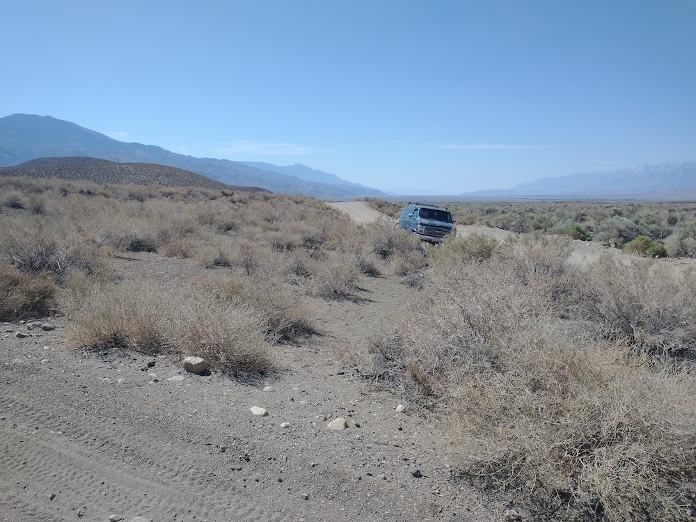
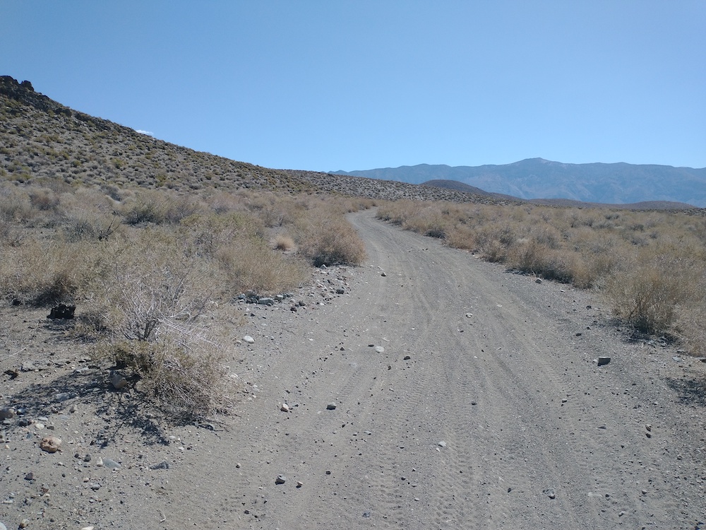
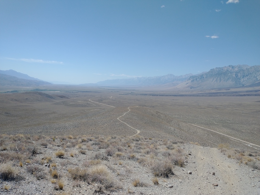
This summit is named after Charles Merwin Gilbert (1910 – 1988), you can read more about his life and career here —> https://eps.berkeley.edu/content/charles-merwin-gilbert. I didn’t do any internet searches on how to summit this peak before attempting it myself, but I think there is a better way up than the way I went. I took the moto through the forest on an (unnamed?) road and parked as close to the summit as one could, then hiked straight up the side of the hill. It was hot; I was quickly moving from shady spot to shady spot to stay out of the blazing sun. Drank almost a liter of water on the way up. At the top, some interesting rock formations and a plaque dedicated to Charles Merwin Gilbert. I setup my station just off the side of the rock formation, under a shady tree, where I got attacked by crawling insects that liked bite me. Called out on 2M, made no contacts. Worked 20M SSB, and 30M CW. Two S2S contacts.

https://sotl.as/summits/W6/ND-026

Total distance: 1.02 mi
Max elevation: 8638 ft
Total climbing: 789 ft
Total time: 02:11:43
Download file: Gilbert Peak.GPX

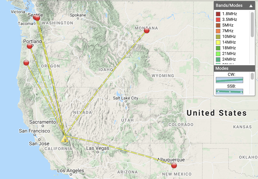
Date:06/07/2021 | Summit:W6/ND-026 (Gilbert Peak)

TimeCallsignBandModeNotes
18:08N0WAE14MHzSSBS56 R55
18:09NS7P14MHzSSBS58 R57
18:10K5DEZ14MHzSSBS42 R42
18:11W7GNM14MHzSSBS57 R59
18:12KJ7UIZ14MHzSSBS35 R53
18:27KX0R10MHzCWR549 S599 S2S W0C/FR-080
18:31K0DAJ14MHzSSBS57 R45 S2S W0D/BB-002
18:34WU7H14MHzSSBS42 R55
18:34WW7D14MHzSSBS59 R53
I think that’s Gilbert Peak off in the distance.
Typical roads in the area
Parked the moto here with a note about my whereabouts, summit is straight up the hill
It was very hot. I was hiking from shady spot to shady spot.
First view of the summit
A plaque about Gilbert Peak
View from the top

W6/IN-050 – Poverty Hills

On the way home from several activations in the White Mountains and the Inyo National Forest outside Mammoth Lakes, I decided to bag one last peak along Hwy 395. I started this hike just off Tinemaha Road. The map I was referencing listed a mine at the bottom of the trail but I didn’t see much evidence of that. It was later in the day and very hot; I sucked down a bit over a liter of water in the mile or so to the top. I used about half of my other liter to dump on my head to cool down. At the top, a small rock pile was used to support my vertical antenna. I worked 20 SSB, 40M SSB (which got no contacts) and 30M CW, two S2S there. This summit has outstanding views of the Owens Valley, and I hope to activate this one again soon.

https://sotl.as/summits/W6/IN-050

Total distance: 2.3 mi
Max elevation: 4950 ft
Total climbing: 713 ft
Total time: 01:59:57
Download file: Poverty Hills.GPX

Date:08/07/2021 | Summit:W6/IN-050 (Poverty Hills)

TimeCallsignBandModeNotes
17:58K6HPX14MHzSSBS59 R51
17:59NS7P14MHzSSBS59 R57
17:59WU7H14MHzSSBS59 R55
18:00KD7DTS14MHzSSBS59 R33
18:02N6KJH14MHzSSBS56 R33 JEFF
18:03N0WAE14MHzSSBS59 R55
18:03WW7D14MHzSSBS57 R55
18:04K6MW14MHzSSBS57 R55
18:11N7CNH10MHzCWS55N R55N S2S W7O/CE-051
18:20KA7GPP10MHzCWS599 R559 S2S W7W/CH-195
18:21WA6KYR10MHzCWS5NN R44N
18:23WY7N10MHzCWS599 R559
18:26WB7ULD10MHzCWS59N R55N
18:30KX6A10MHzCWS599 R55N
Adventure van at the bottom of the trail
The trail starts out wide….
Then slowly gets narrow and steep.