W6/WH-009 – 10660

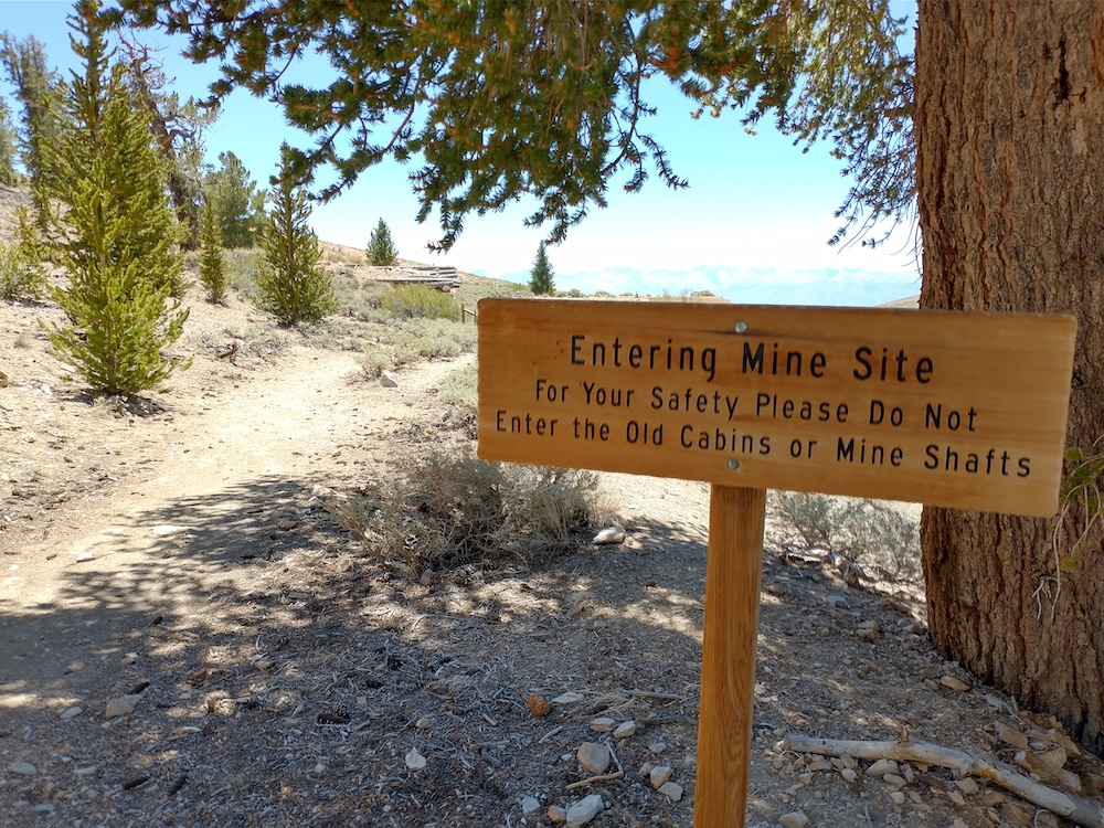
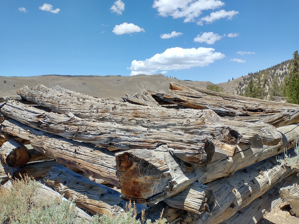
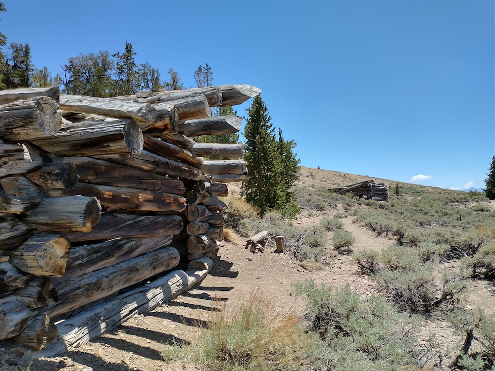
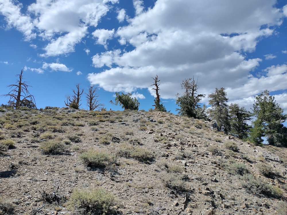
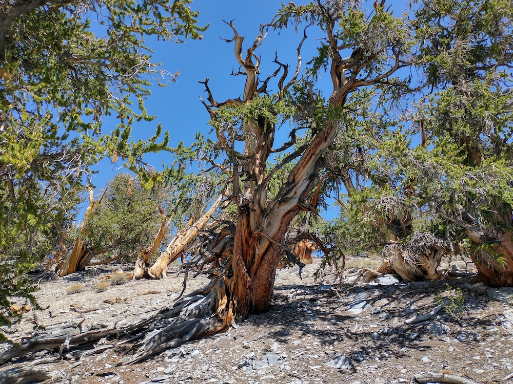
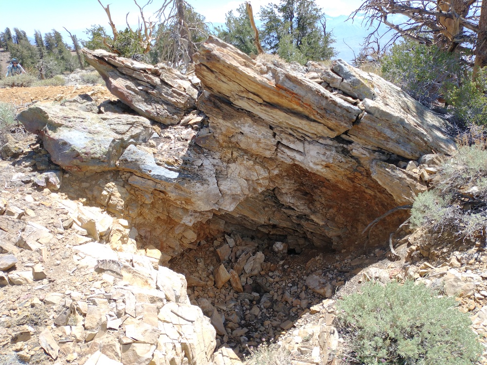
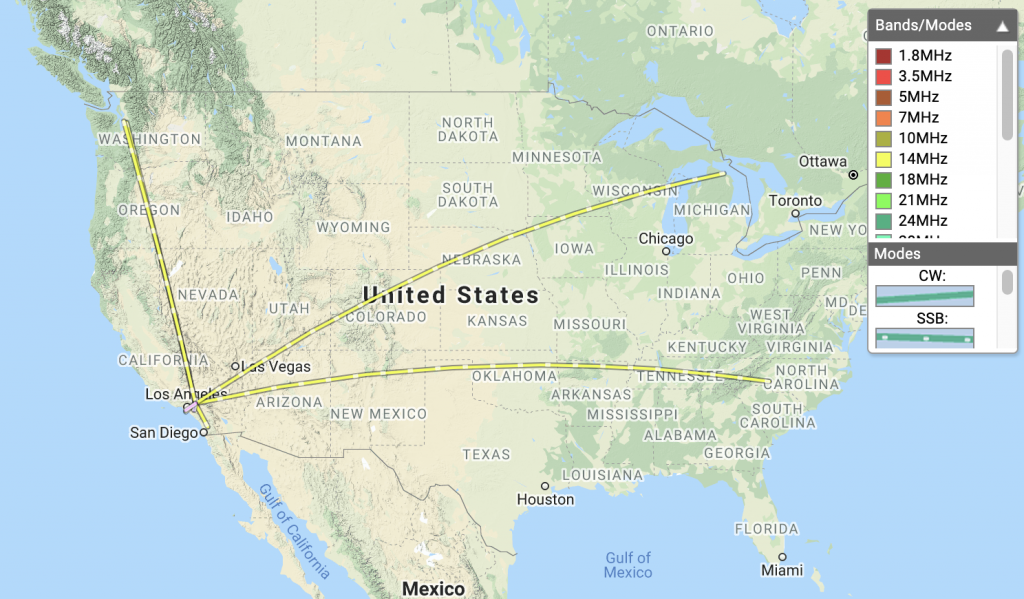
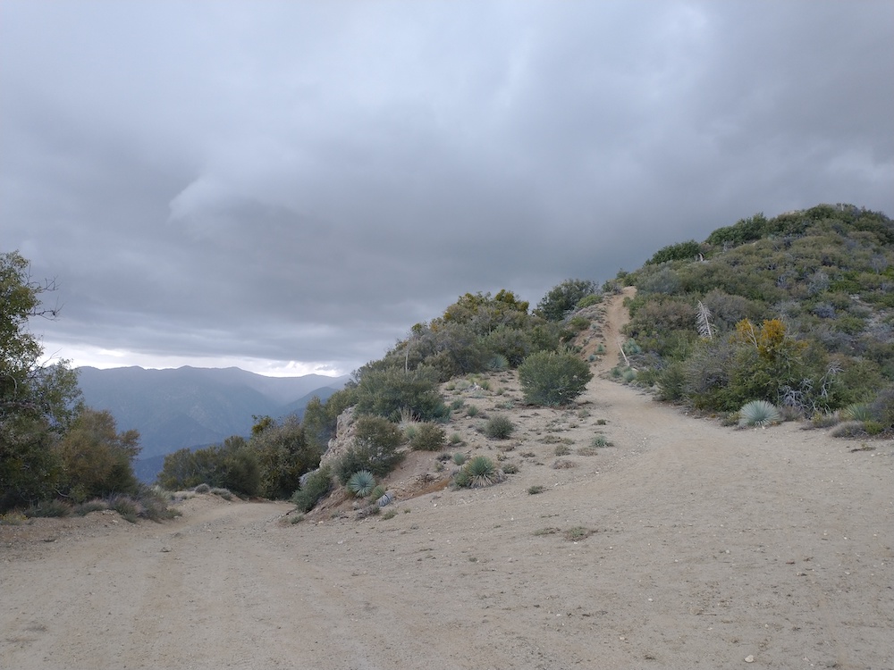
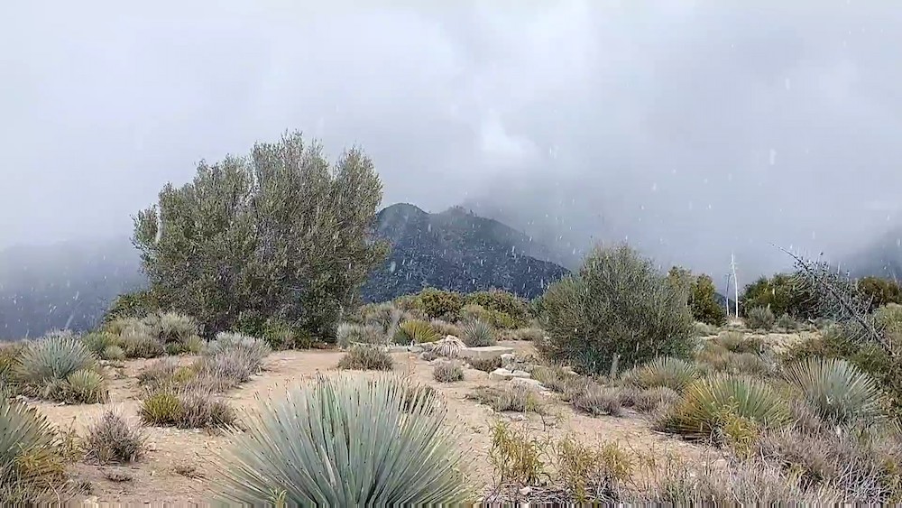
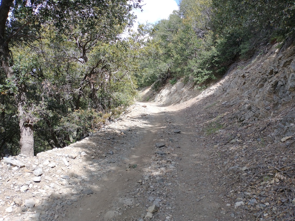
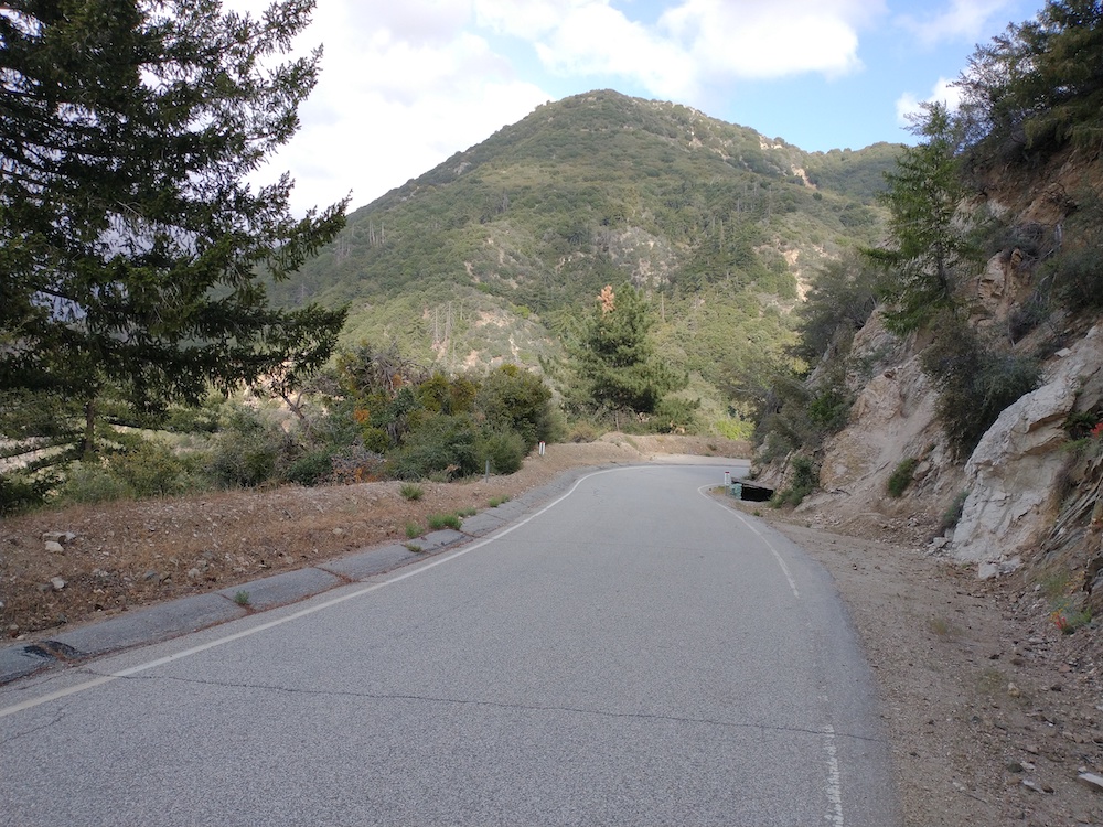
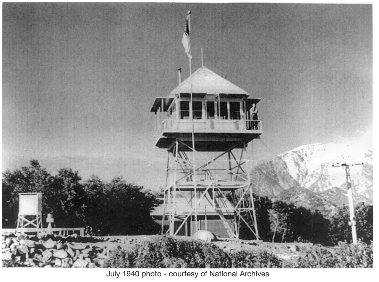
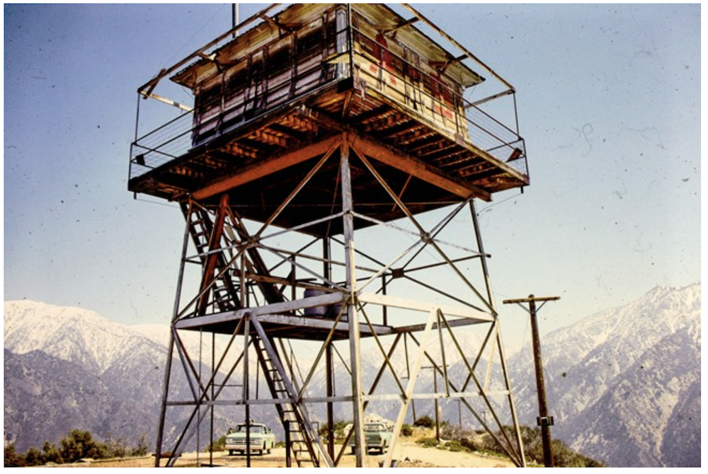
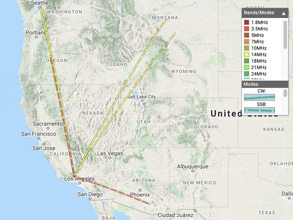
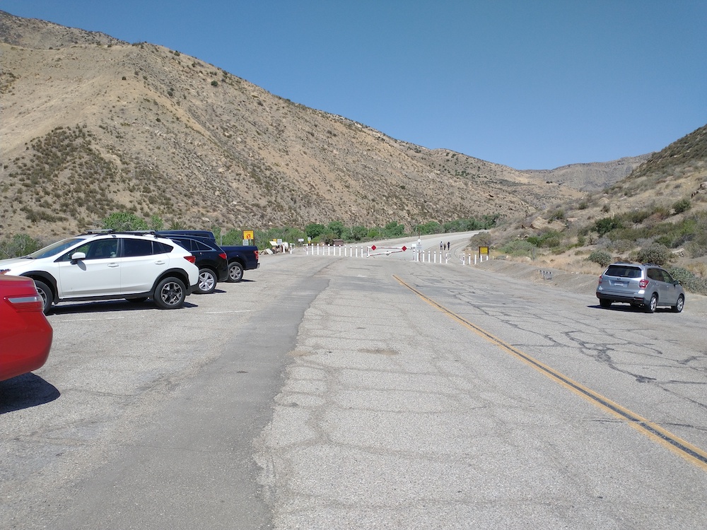
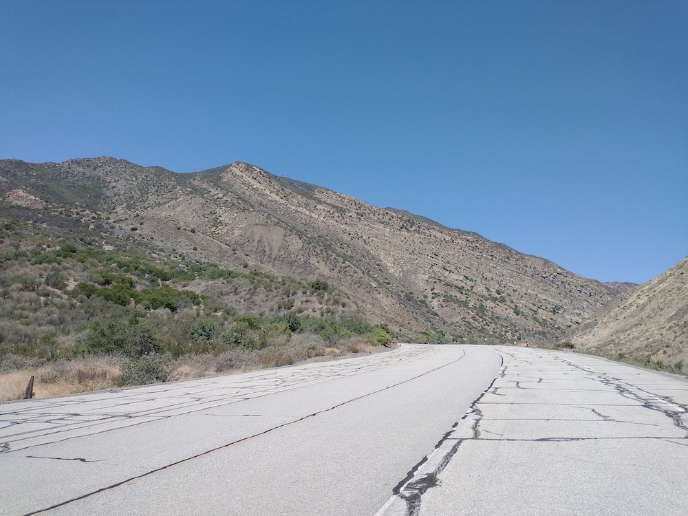
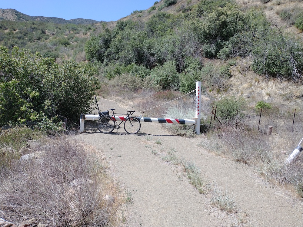
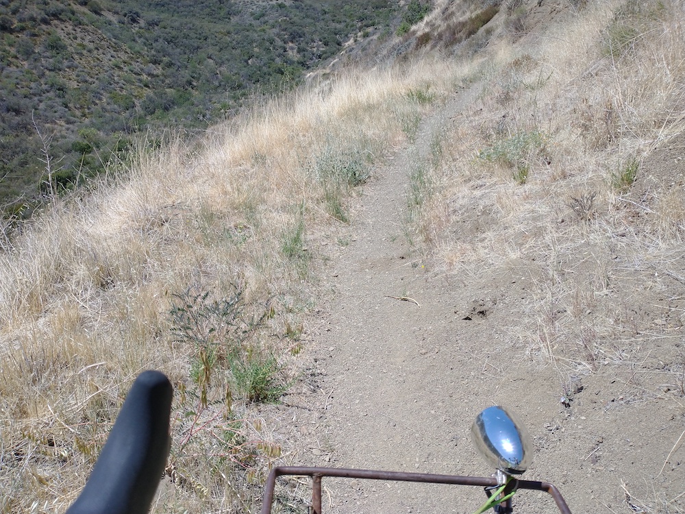
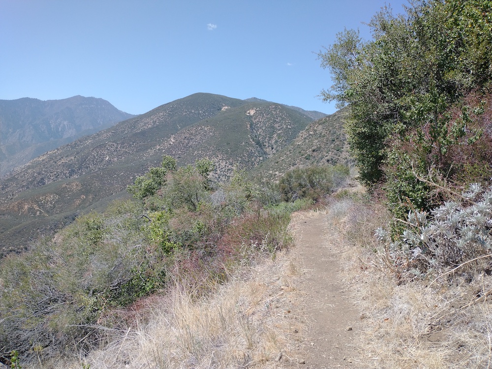
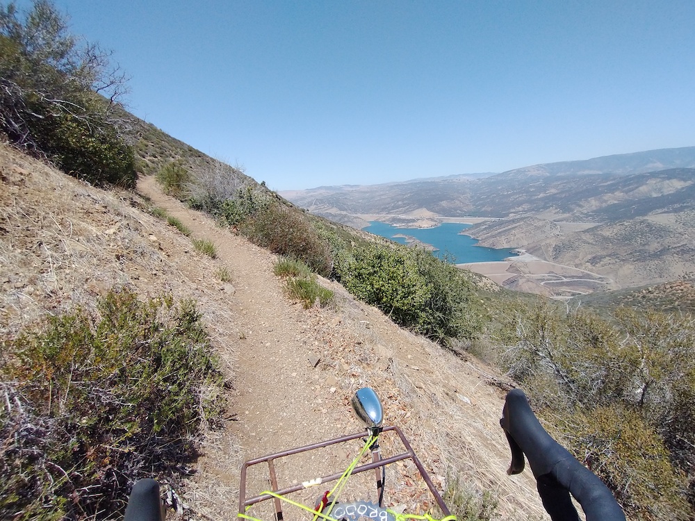
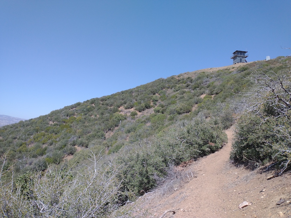
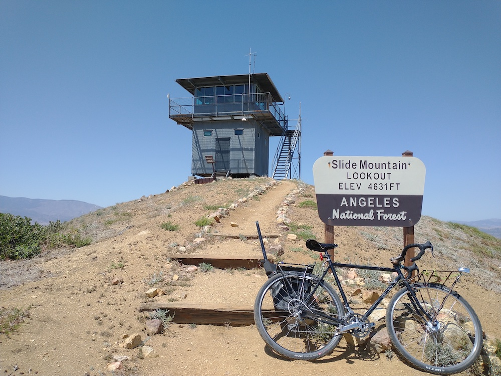
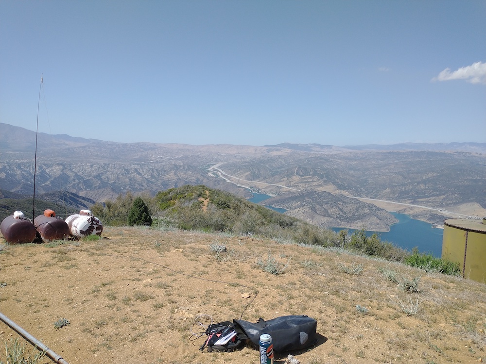
This summit starts at the Ancient Bristle Cone Pine visitor center parking lot. Take the trail to the Mexican Mines, which winds past some old cabins and mine shafts. Continue on the trail until a second set of collapsed mine audits. From here, just head straight up the hill a short distance to the summit. There, you will see another collapsed mine audit; this is where I setup my station. Worked 20, 40, 2, and 1.2GHz. Did a bit of rock hounding, then headed back to the car. This is pretty high elevation, and I was feeling the effects having just come from Los Angeles. No .gpx data for this summit, as I thought I would use a phone app instead of a hardware GPS. Phone app crashed. Doh!

https://sotl.as/summits/W6/WH-009

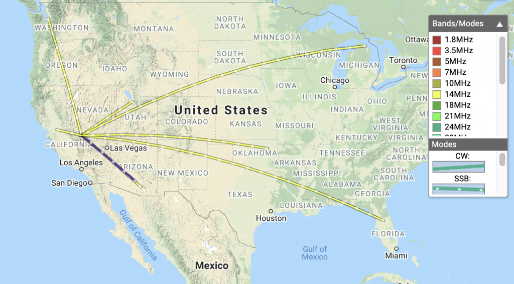
(Sadly, no .gpx data for this summit)

Date:02/07/2021 | Summit:W6/WH-009 (10660)

TimeCallsignBandModeNotes
21:45WU7H14MHzSSBS58 R44
21:46K6HPX14MHzSSBS58 R54
21:56NW6C144MHzSSBS59 R59 JOHN
21:57NQ7R144MHzSSBS55 R59
21:58KK6HTM144MHzSSBS59 R59
22:51KT4Q14MHzSSBS58 R44 POTA K502
22:57WB7ULD14MHzSSBS45 R34
22:59WD8KDB14MHzSSBS58 R44
23:01W5ODS14MHzSSBS59 R55
23:17K6YK14MHzSSBS59 R33

W6/CT-022 – Sunset Peak

Sunset Peak is rad. I started at Glendora Ridge Road across from Sunset Ridge Fire Road, and followed that up to the summit. At the top is a big chunk of sheet metal, I think from a lookout tower. I thought about ways to use this as a ground plane next time I’m there. Worked 20, 40, 2, and 1.2GHz. I got snowed on, in May, which was a nice surprise. The way down I was having so much fun, I went wayyyy past the turn off back to the car, but I eventually ran into GDR and cycled back on the road.

https://sotl.as/summits/W6/CT-022

Total distance: 11.34 mi
Max elevation: 5777 ft
Total climbing: 2080 ft
Total time: 03:37:34
Download file: SunsetPeak.gpx

Date:21/05/2021 | Summit:W6/CT-022 (Sunset Peak)

TimeCallsignBandModeNotes
23:03KC9YDC14MHzSSBS35 R47 POTA
23:07W5GDW14MHzSSBS48 R32
23:07K6QCB14MHzSSBS59 R59
23:08WW7D14MHzSSBS57 R54
23:09WU7H14MHzSSBS57 R59
23:11K6ARK14MHzSSBS57 R42
23:11WD8KDB14MHzSSBS43 R33
23:12KK6JM14MHzSSBS59 R59
23:14NG6R14MHzSSBS59 R57
23:18W7MDN14MHzSSBS33 R22 S2S W7W/FR-044
23:42K6KWI144MHzFM
23:44KI6SLA144MHzFM
23:47WB6UNG144MHzFMRANDY
23:54K6LDQ1240MHzFMS51 R59 %QRA%DM03TU%

Edit December 5th, 2022. I was right about the big metal sheets on Sunset being from a old fire lookout tower. The info below was borrowed from firetower.org without any kind of permission.

Description

Sunset Peak replaced the former site on what is now known as Lookout Mountain, across the saddle to the north. Photographs appear to show it as an L-4 or BC-301 cab atop a 20 ft. steel tower. There was a small residence to the north and a cistern to the south. (The corrugated metal remains over what is believed to be the cistern.). Besides that all that remains are the footings for the tower and the foundation for the house.

Ron Kemnow’s site recounts stories of a 1928 lightning storm that destroyed the cabin, construction of the motorway in 1938 (eliminating the need of a pack train to bring supplies,) and a December 1938 fire which threatened the tower. Nonetheless, lookout Sherman Foster remained at his post. Both he and the tower survived.

The cab and tower were reportedly disassembled and transported to the Ontario Air Tanker Base in 1974 or 75. The final disposition of the structure is unknown.

W6/SC-057 – Slide Mountain

I thought there was a road of some kind all the way to the top of this summit because of the fire lookout tower, but I was wrong! Because of this, I thought it would be a good bike ride. Park near Frenchman’s Flat Campground at the gate. You need a forest Adventure Pass displayed to park. Continue almost all the way down the paved road. You will see a small gate on the right, blocking a fire road – this goes to the summit. This road gets narrower and narrower the further you go up, ultimately ending up as a single track. At the top is a lookout tower which was built in 1969. This summit also offers nice views of Pyramid Lake. I setup my vertical and worked 20m, 40m, and 2m bands. About half way down the trail, I got a flat tire – but left my patch kit in my other bike bag – doh! Ended up walking most of the way back to the car. Overall, it was a fun day. Can’t wait to come back again!

https://sotl.as/summits/W6/SC-057

Total distance: 10.82 mi
Max elevation: 4656 ft
Total climbing: 3009 ft
Total time: 05:52:34
Download file: SlideMountain.gpx

Date:07/05/2021 | Summit:W6/SC-057 (Slide Mountain)

TimeCallsignBandModeNotes
21:26N0WAE14MHzSSBS52 R53
21:27K7XH14MHzSSBS55 R55
21:33WW7D14MHzSSBS55 R43
21:36KJ7UIZ14MHzSSBS51 R51
21:38WB7BWZ14MHzSSBS51 R51
21:45K6HPX7MHzSSBS57 R41
21:46NW7E7MHzSSBS44 R52
22:05KN6CQX144MHzFMS51 R59
22:07KN6ISM144MHzFMS59 R59
At the gate
Old road, no cars.
At the gate to Slide Mountain
Single track. I didn’t expect this.
More single track
First view of Pyramid Lake, trail is very narrow here.
First view of the tower.
Made it! I’m never riding up here again.
Station setup