W6/CT-089 – Mt. Lawlor

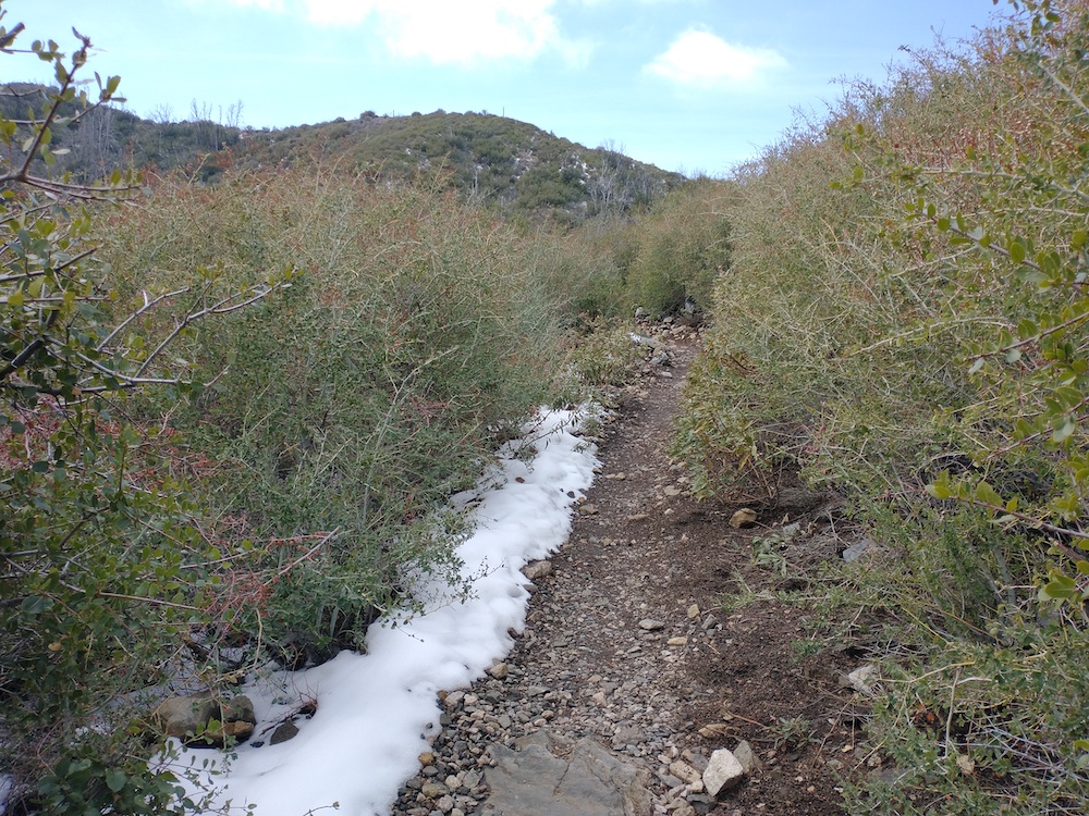
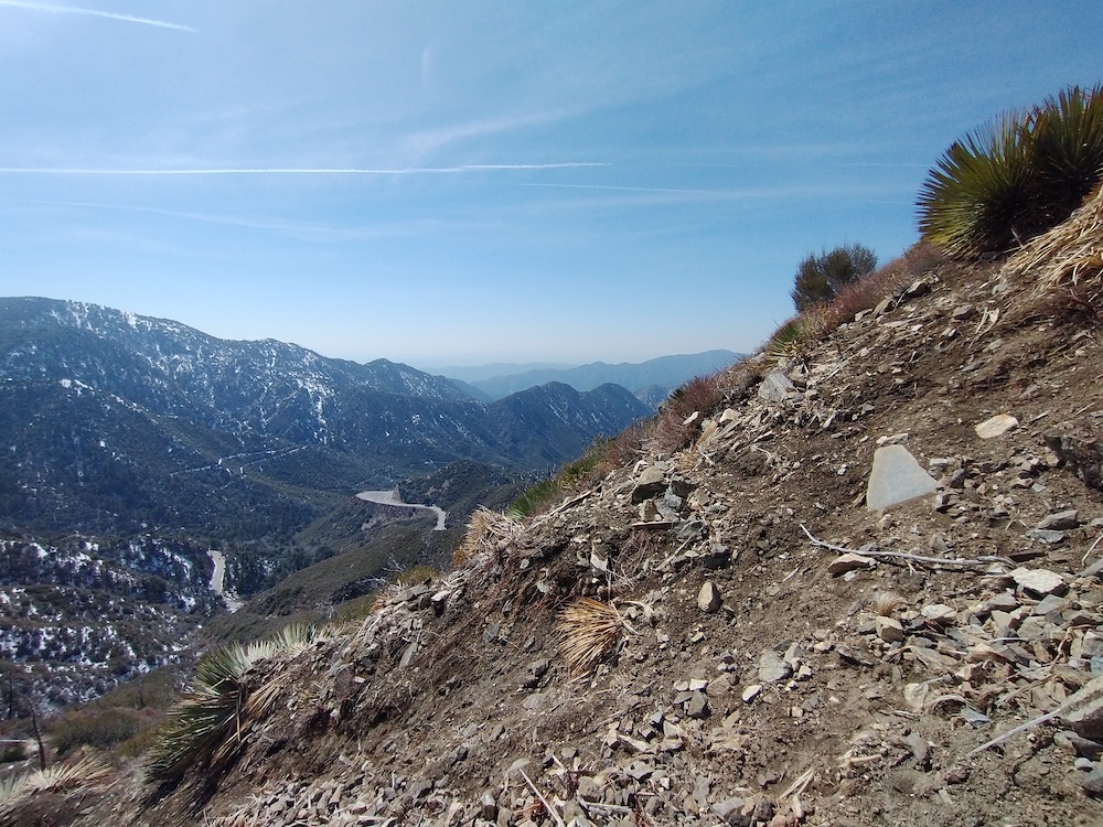
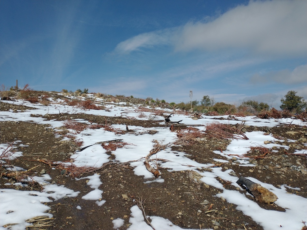
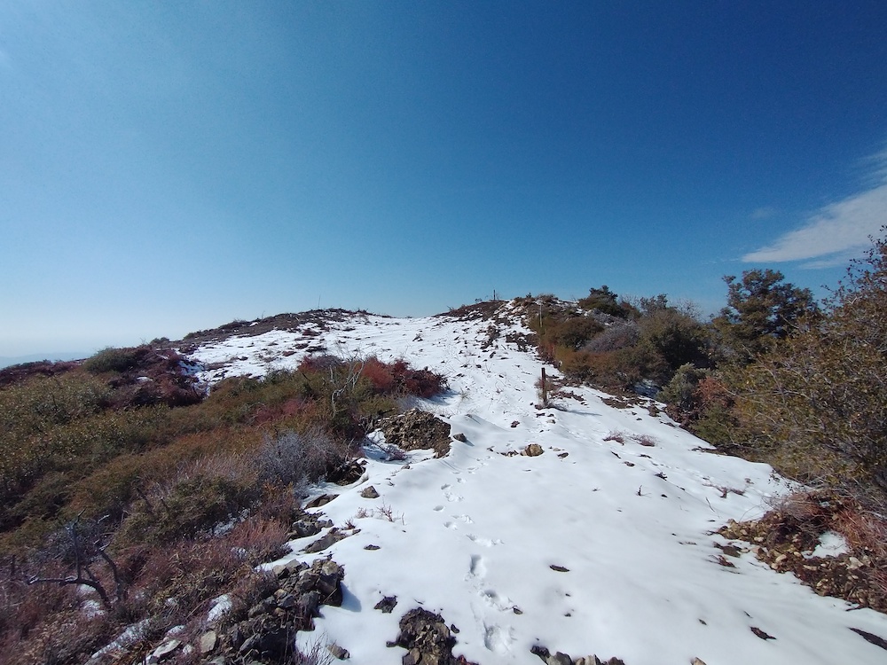
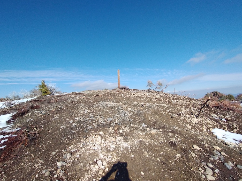
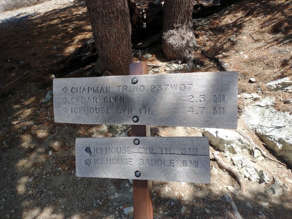
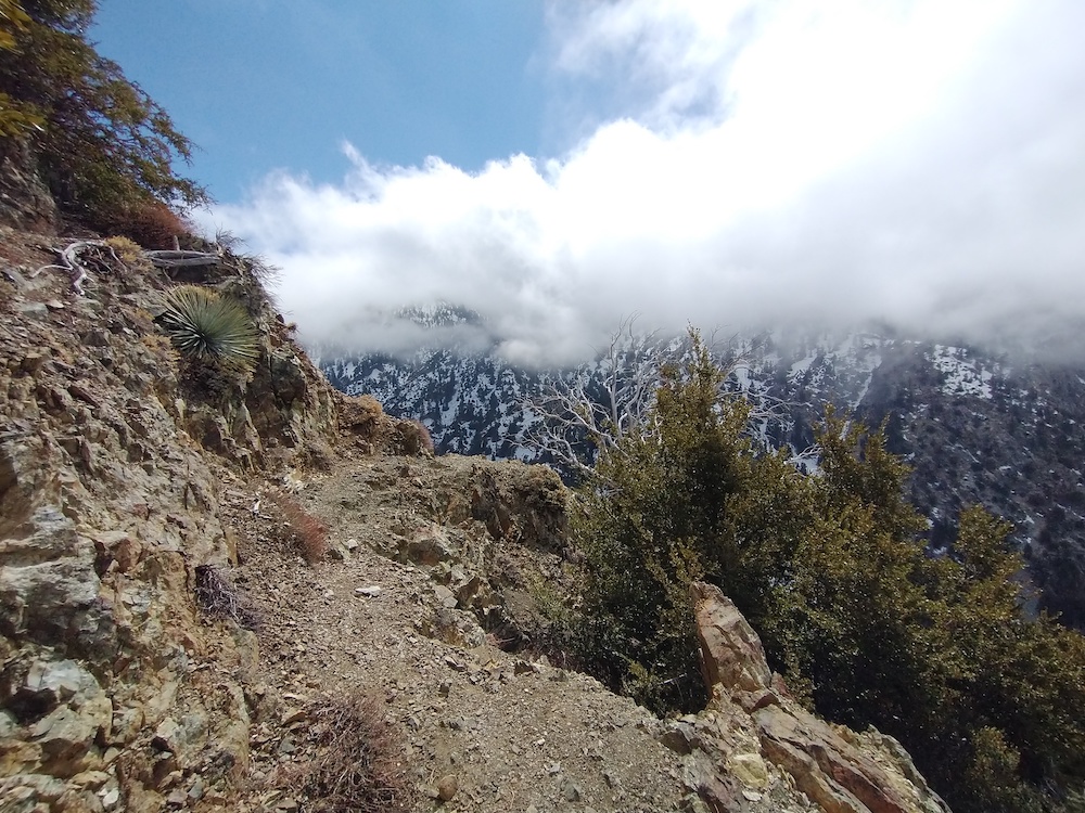
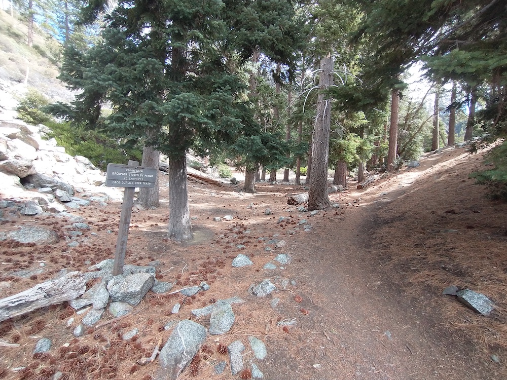
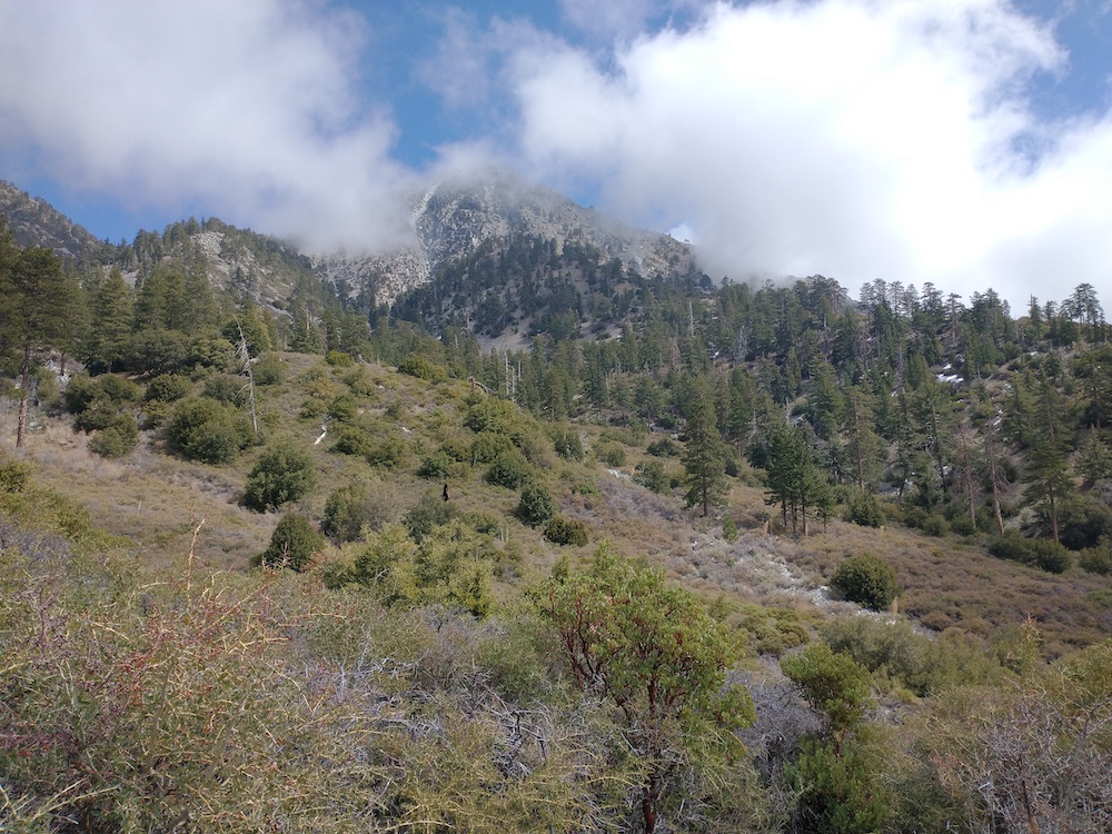
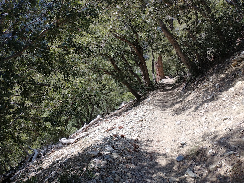
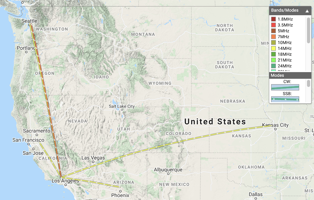
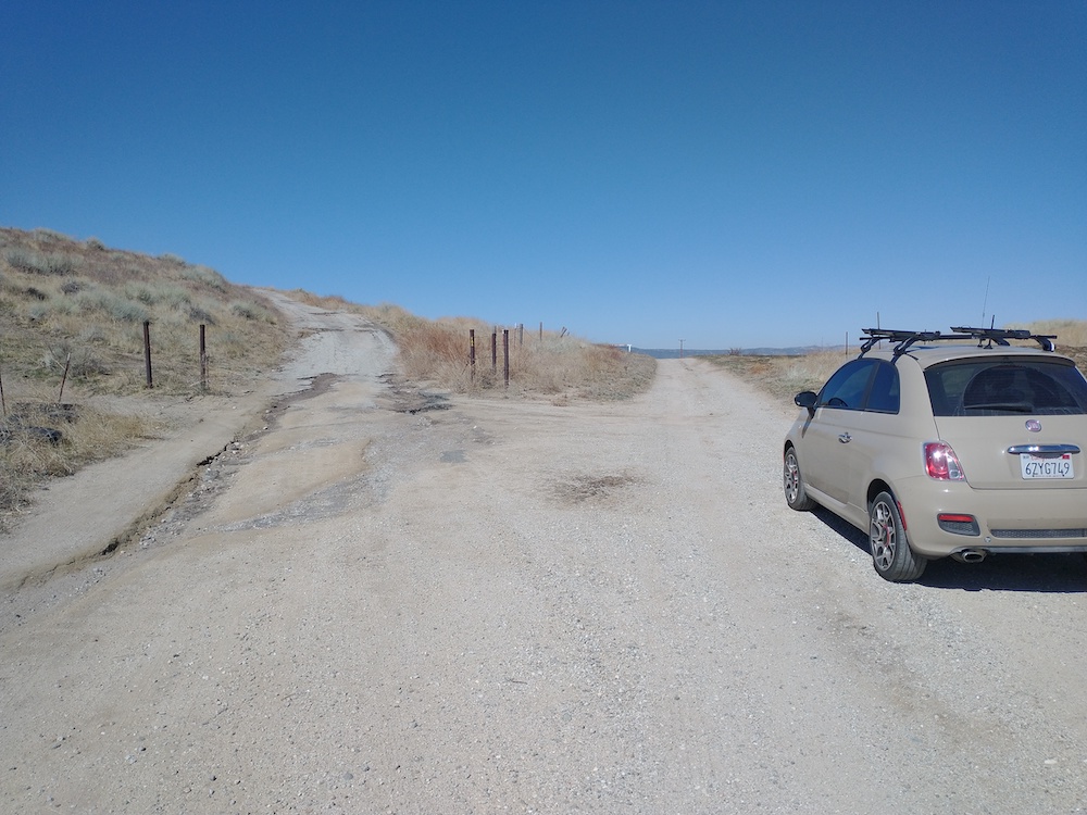
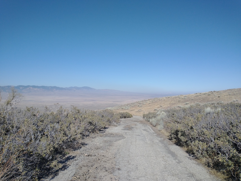
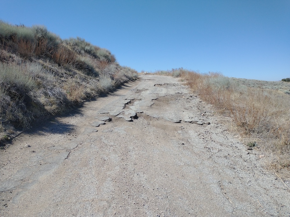
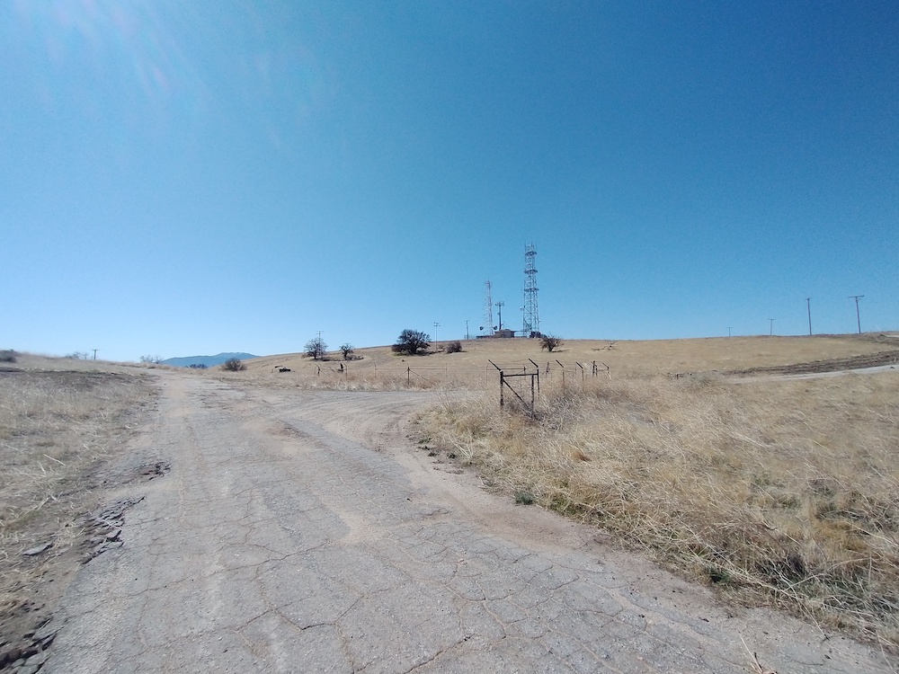
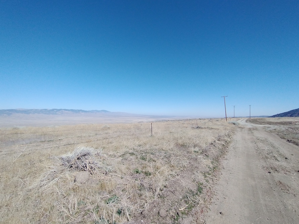
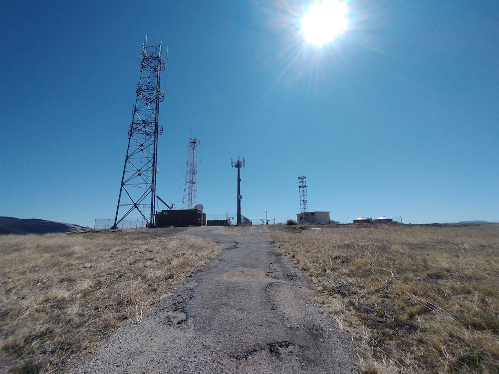
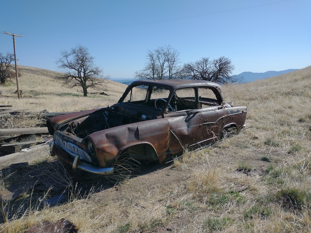
This was my second activation of Mt. Lawlor. The first time I didn’t take any photos/ video and I wish I had, because the summit and firebreak has been cleared. Tracks from a large machine can be seen at the top; I have no idea how they got it up there. Helicopter? You can get up to Lawlor several ways – I parked at Red Box Picnic area and hiked to the firebreak, then, straight up to the summit. You can bypass the insanely steep hike by going around to Strawberry Saddle and hiking the ridge up, which requires a bit of scrambling over rocks. Worked 20M, 40M SSB, and 2M AM (yes, AM). Brought a new (to me) HT which added 23cm to my quiver of bands. Tried to QSO with K6LDQ on 23cm – he could hear me, but I couldn’t hear him. Maybe next time!

https://sotl.as/summits/W6/CT-089

Total distance: 3.14 mi
Max elevation: 5988 ft
Total climbing: 1492 ft
Total time: 04:20:05
Download file: MtLawlor.GPX

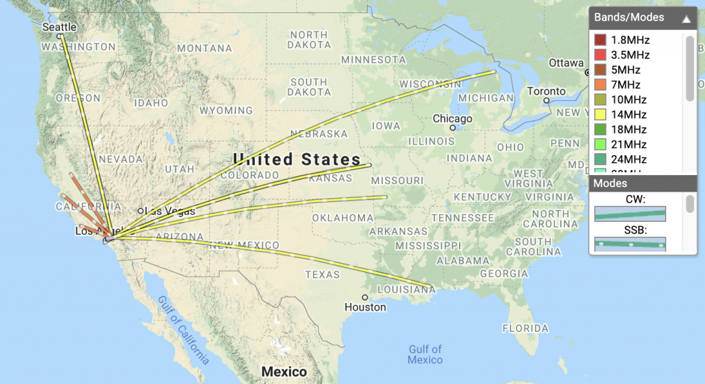
Date:16/03/2021 | Summit:W6/CT-089 (Mount Lawlor)
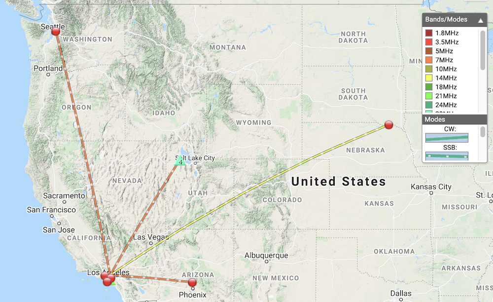
TimeCallsignBandModeNotes
22:01K6LDQ14MHzSSB59 57
22:03AE0XI14MHzSSB55 57
22:05KC6ESW14MHzSSB58 58 (QRP)
22:06W3TCU14MHzSSB55 55
22:07KW4XK14MHzSSB55 55
22:20KE6IGU7MHzSSB59 55
22:21WY7N7MHzSSB55 55 S2S W7U/TO-055
22:22KF6HI7MHzSSB59 55
22:25WW7D7MHzSSB58 32
22:58KN6DMO144MHzAMS8 S9 AM
A bit of snow on the trail.
Freshly cleared firebreak to the summit.
On the firebreak, tried to photograph the 45 degree incline.
Bulldozed summit
Summit is up and to the right.
An old post at the summit where I setup my station.

W6/CT-052 – Timber Mountain

This winter has been warm and dry, and the snowpack low. Bonuses are still on the table so I figured it would be a good time to get some extra points. Start at the Icehouse Canyon Trailhead, just off Mt. Baldy road. You will need a forest pass to park. I decided to hike the long way up via Chapman Trail, which adds another 2.5 miles and makes the hike a loop. At the summit I worked 20M, 40M, 70cm SSB, and 2M FM. I went on a weekday so there was little traffic trail. If you go on a weekend make sure to show up early to get a parking space, and be prepared for crowds, as this is a popular area to hike.

https://sotl.as/summits/W6/CT-052

Total distance: 10.76 mi
Max elevation: 8330 ft
Total climbing: 5313 ft
Total time: 06:43:58
Download file: TimberMountain.GPX

Date:08/03/2021 | Summit:W6/CT-052 (Timber Mountain)

TimeCallsignBandModeNotes
22:36WW7D14MHzSSB59 43
22:36K6QCB14MHzSSB59 55
22:37W0MNA14MHzSSB55 44
22:37W5GAI14MHzSSB45 55
22:39K3OG14MHzSSB45 33
22:39WD8KDB14MHzSSB48 44
22:41KB5GI14MHzSSB55 44
22:41K0LAF14MHzSSB55 33
22:42W0ERI14MHzSSB55 44
22:52W6DT7MHzSSB59 33
22:52N6WT7MHzSSB59 33
22:53WB6POT7MHzSSB59 57
23:00NA6MG7MHzSSB59 58
23:15NA6MG70MHzSSBSSB 57 58
23:15K6LDQ70MHzSSBSSB 44 52
23:22KN6JWK144MHzFM59 59
23:24NA6MG144MHzFM59 59
23:25KN6KOR144MHzFM59 55
23:27KN6EZE144MHzFM55 48
23:27KN6DMO144MHzFM59 59
23:28N6MDZ144MHzFM55 55
23:29KI6SLA144MHzFM59 55
23:30KM6UHU144MHzFM59 —

W6/CT-259 – Bald Mountain

I was planing on activating Libre Mountain when I left my house in the morning, however, I got a bit lost and ended up on Bald Mountain instead! This summit would be considered a drive up, but the road to the top has deep potholes making it extremely risky to drive my tiny car all the way. I ended up parking at the bottom of Misty Ridge Drive and hiking the remainder of the way, which was very enjoyable. At the top you will be greeted with a tower site; half of the installation is decommissioned, so I set my station up next to the fence, furthest away form the active site. APRS was available here, so a packet containing my spot was sent. Worked 20M and 40M SSB, then got brave and sent a spot for 30M CW. One station came back to me but I couldn’t get one character in the call. Sadly, they gave up on me after I sent a ? for the third time. Too embarrassed to continue, I went QRT. Near the summit there is an old ranch – some old farming equipment, a rusty French car, and a small collapsing cabin. I wonder who, when, why the owner of this equipment abandoned it?

https://sotl.as/summits/W6/CT-259

Total distance: 2.39 mi
Max elevation: 4558 ft
Total climbing: 490 ft
Total time: 02:50:34
Download file: BaldMountain.GPX

Date:26/02/2021 | Summit:W6/CT-259 (Bald Mountain)

TimeCallsignBandModeNotes
21:18W0MNQ14MHzSSB55 33
21:21W0ERI14MHzSSB55 33
21:49K6YK14MHzSSB55 55
21:50WU7H14MHzSSB33 33
21:53KF6HI14MHzSSB55 44
22:23VE7TBN7MHzSSB33 33
22:30WW7D7MHzSSB55 43
Parked SOTA mobile. The road on the left takes you to the top. One could drive all the way, but the road was deeply rutted and my car wouldn’t make it.
Typical views.
It’s hard to tell, but these holes are big enough to eat my car.
First view of the towers on the summit.
Middle of nowhere?
Old cabin, this was filled with clothes.
A French car in California below the summit.
Simca Aronde Type AA
A random roof from a car.. Someone must have made a DIY convertible back in the day.