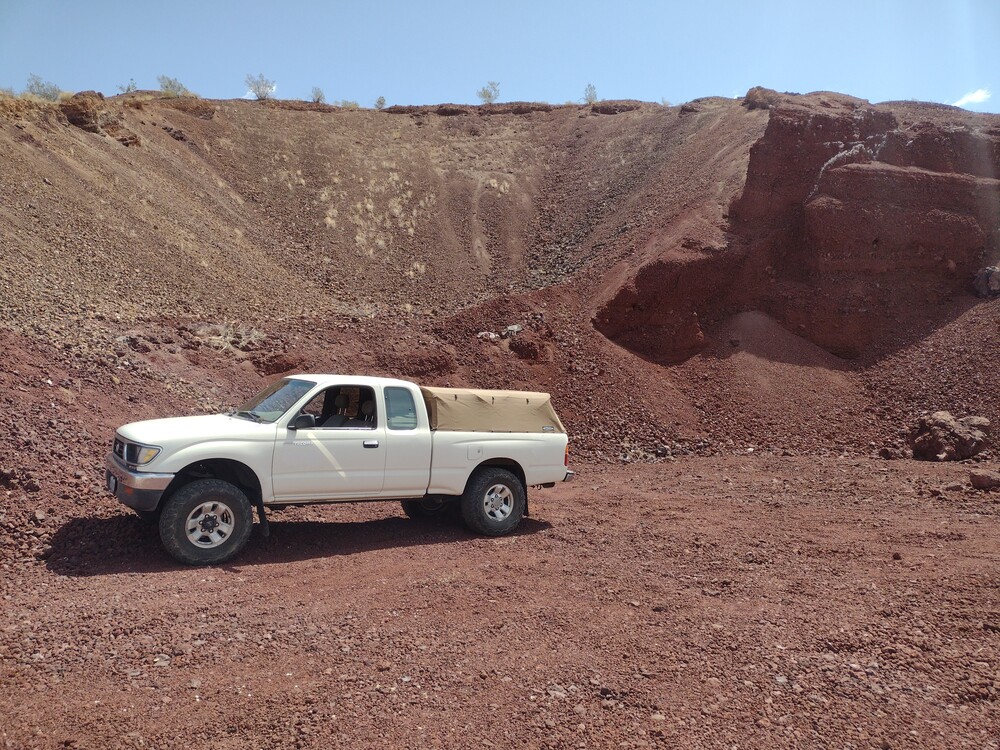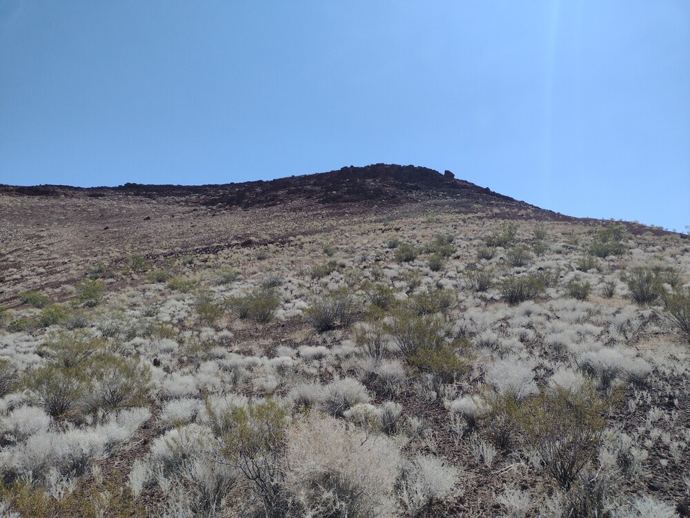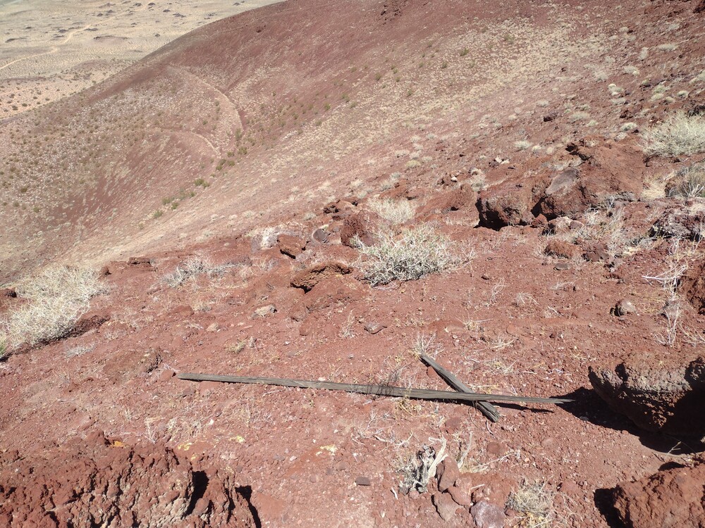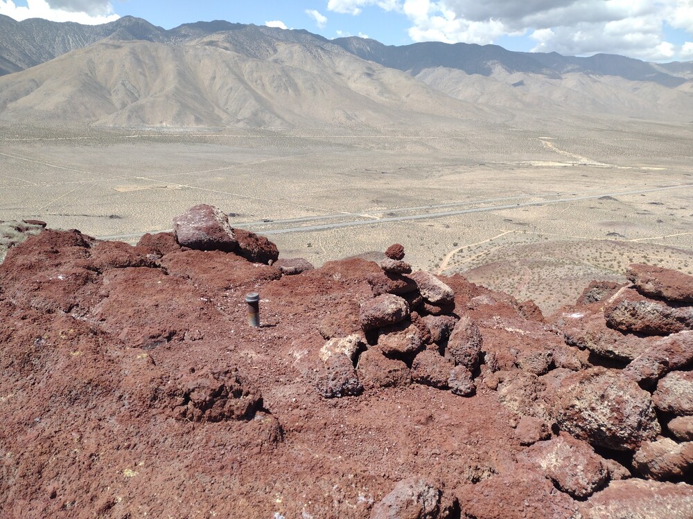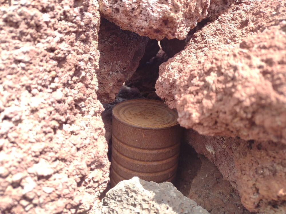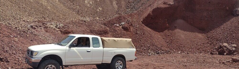
If you have ever driven up to Mammoth Lakes from Los Angeles, you probably drove right past Red Hill. The hill is an ancient volcano, which is covered in small marble sized volcanic rock called cinders. The surrounding area features fields of basalt, with Fossil Falls just to the south of the summit. I parked my truck on the side of Red Hill, in an area where it appeared to be mined for it’s cinder. From there I started up. You can make out a use trail most of the way. The small, loose cinders made the trek up slow, as it felt like walking on a beach, except worse. Take a step, slide back a bit. Once at the top I used the KH1 with the whip. Worked 6 stations across two bands – two S2S. While packing up I found the summit register hidden in some rocks. I signed it and started heading down. Loose rocks make the decent quick, and I was back on the highway heading north quickly.
Total climbing: 558 ft
Date:17/04/2025 | Summit:W6/ND-283 (Red Hill)
| Time | Callsign | Band | Mode | Notes |
|---|---|---|---|---|
| 19:32 | WB8BHN | 21MHz | CW | S44N R41N |
| 19:33 | KF9D | 21MHz | CW | S56N R53N |
| 19:47 | WU7H | 14MHz | CW | S2S W7W/PL-063 S55N R51N |
| 19:49 | WW7D | 14MHz | CW | S2S W7W/PL-063 S55N R51N |
| 19:50 | N7UN | 14MHz | CW | S56N R33N |
| 19:52 | KT5X | 14MHz | CW | S599 R56N |