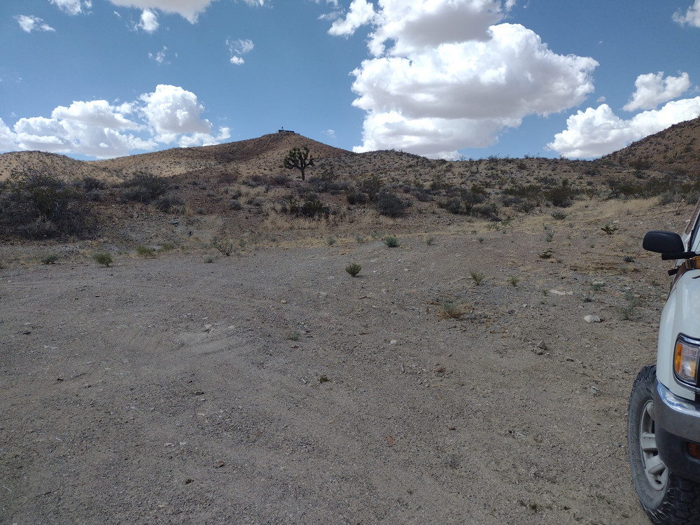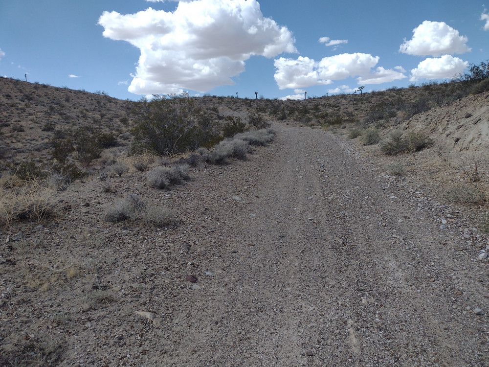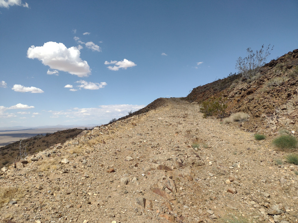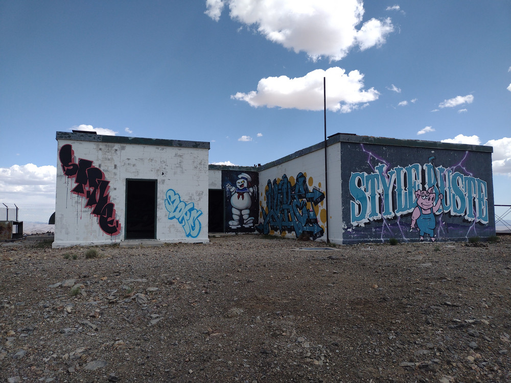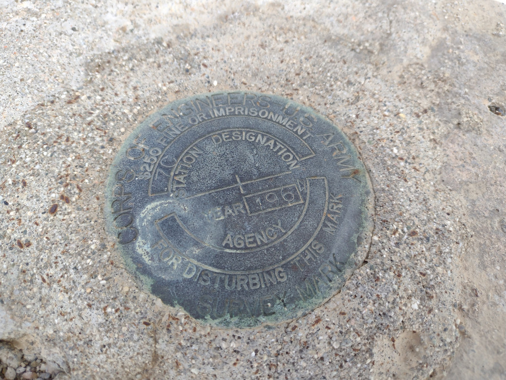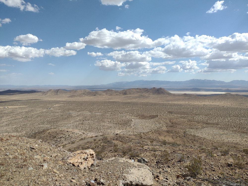
This wasn’t a planned summit for me. While driving north on US 395 to camp and hike other various summits, I noticed some hills in the distance. I pulled over and checked the SOTA maps and found I was looking at W6/SD-463 and W6/ND-270. They didn’t seem to be too far off the highway and the day was still early and cool. I made the detour and headed down Shadow Mountain Road – A slow dirt washboard road. Navigation was easy, and W6/ND-270 seemed the easiest of the two summits, so I headed to the base of the mountain. There are two hills – One I believe is an FAA radar site, and the other is the Shadow Mountains. I parked at a clearing at the bottom and hiked up. At the top was an empty radio shelter with some pretty decent artwork. I heard some radio chatter on 2M simplex and made a QSO there before setting up on 20M CW. There was little breeze and the sun was intense. After working chasers I packed up and headed back to the truck, then continued my way north on US 395.
https://sotl.as/summits/W6/ND-270
Total climbing: 456 ft
Date:02/05/2025 | Summit:W6/ND-270 (Shadow Mountains (HP))
| Time | Callsign | Band | Mode | Notes |
|---|---|---|---|---|
| 22:10 | KC6ARY | 144MHz | FM | S57 R55 |
| 22:32 | K6STR | 14MHz | CW | S2S W6/SD-496 S53N R55N |
| 22:33 | WU7H | 14MHz | CW | S55N R52N |
| 22:34 | W6LOR | 14MHz | CW | S2S W6/SD-496 S599 R55N |
| 22:35 | WW7D | 14MHz | CW | S51N R41N |
| 22:36 | ND0C | 14MHz | CW | S42N R53N |
| 22:37 | N4GO | 14MHz | CW | S42N R33N |
| 22:46 | K6DV | 144MHz | FM | S59 R58 |