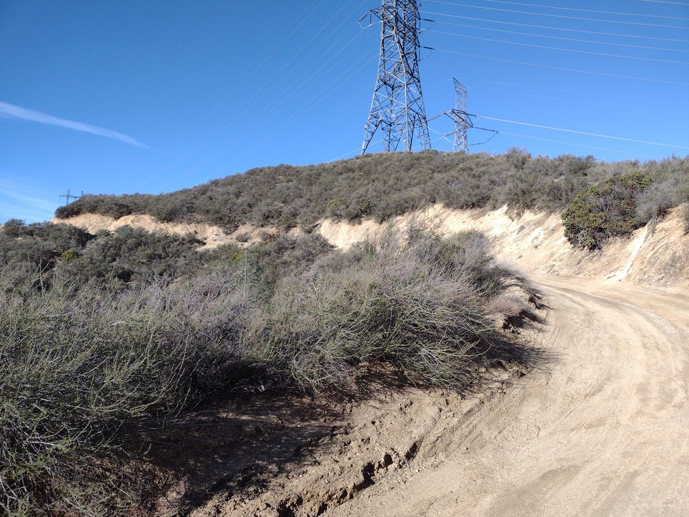
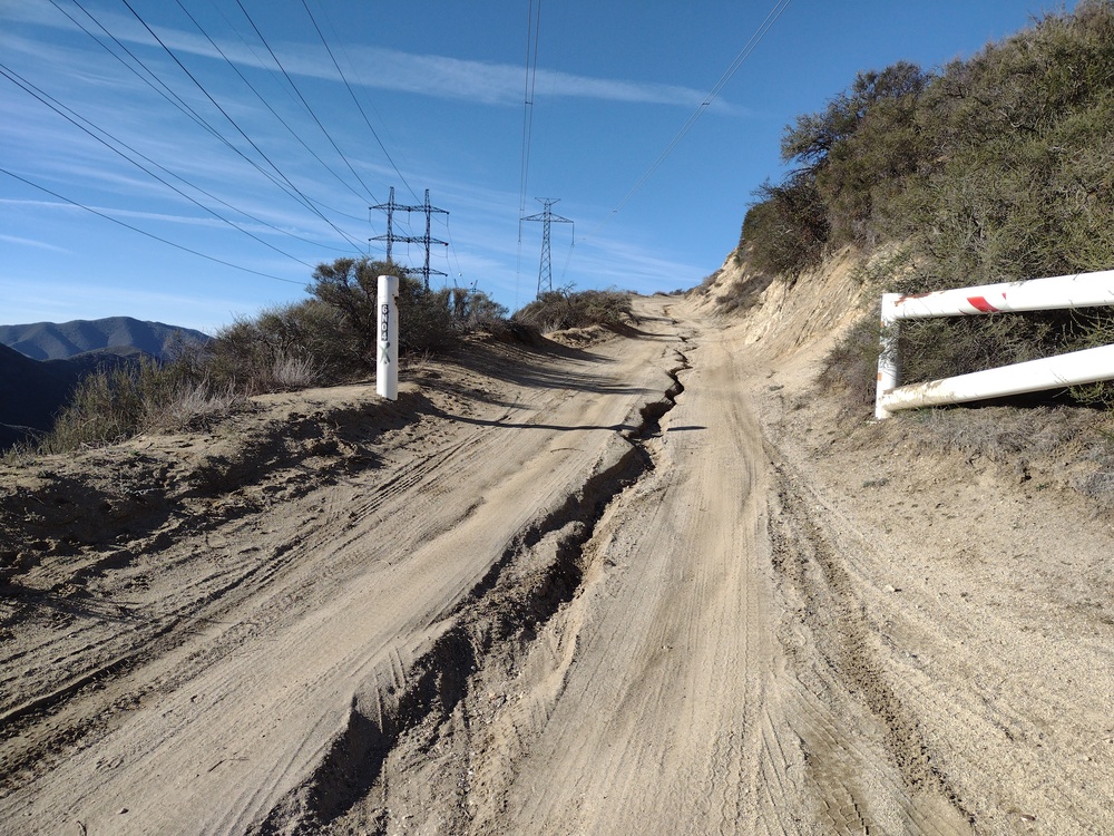
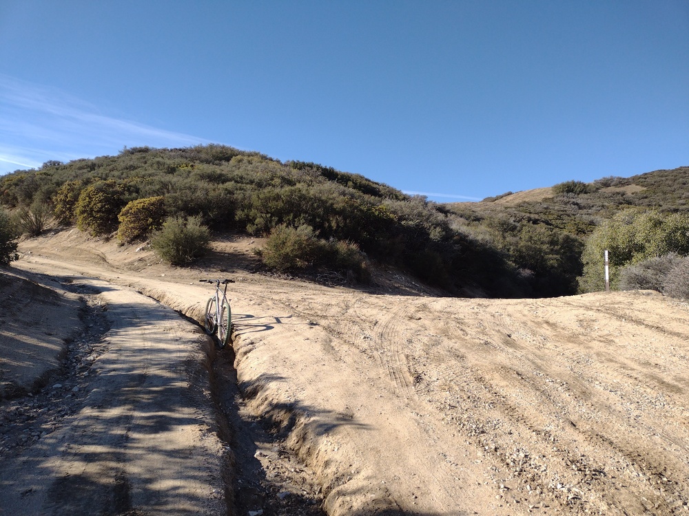
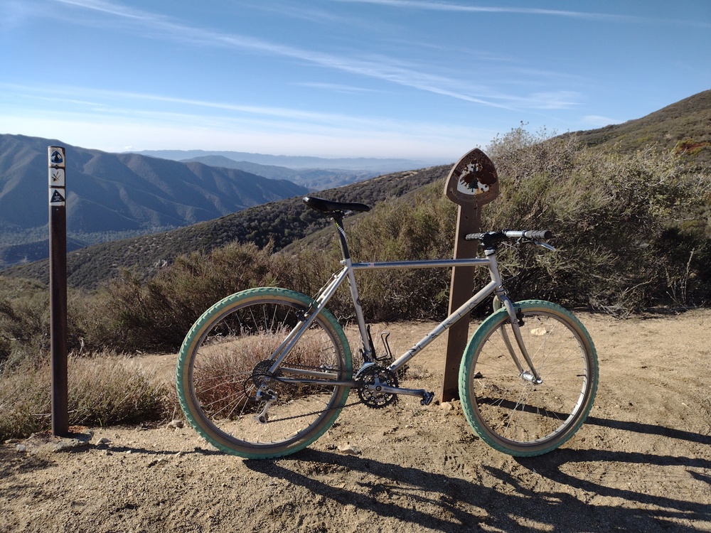
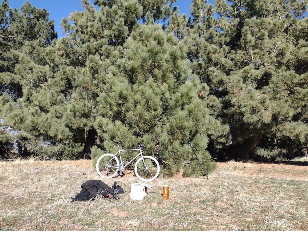
I like this one because there are several large trees on top, which is kinda unusual for this area. From what I’ve read, most people activate Grass Mountain as a drive up, but I parked the car at the paved road and took a mountain bike up the service road. The ride is under 3 miles and ~1000′ of elevation gain. Parts of the road were deeply rutted after recent rains, and I don’t think a passenger car would make it, however this will likely change once it gets graded. The top sports a few radio towers with equipment shelters. Adjacent to that is a nice grass field, where I setup my HF station. Worked 20M, 30M, 40M with several S2S contacts. I would have loved to stay up there longer, but I wanted to activate a second summit on the next ridge over, Burn Benchmark. I think I’ll bring a hammock and a cooler with a few drinks and a sandwich next time I’m here and spend all day in the trees.
https://sotl.as/summits/W6/CT-130
Total climbing: 1082 ft
Date:08/01/2022 | Summit:W6/CT-130 (Grass Mountain)
| Time | Callsign | Band | Mode | Notes |
|---|---|---|---|---|
| 18:32 | K0MOS | 14MHz | SSB | S56 R56 S2S W0C/FR-057 |
| 18:44 | W6TDX | 10MHz | CW | S549 R44N |
| 18:45 | NS7P | 10MHz | CW | S55N R55N |
| 18:46 | WW7D | 10MHz | CW | S56 R52 |
| 18:47 | KT5X | 10MHz | CW | S54N R54N |
| 18:49 | NW7E | 10MHz | CW | S5NN R44N |
| 18:51 | W9SSN | 10MHz | CW | S33N R22N S2S W6/SC-203 |
| 18:52 | WB7VTY | 10MHz | CW | S45N R55N |
| 18:53 | KX0R | 10MHz | CW | S599 R55N |
| 19:12 | N6ARA | 14MHz | CW | S5NN R5NN S2S W6/SC-345 |
| 19:16 | N0DF | 14MHz | CW | S55N R57N S2S W7I/SI-177 |
| 19:26 | K6HPX | 7MHz | CW | S5NN R53N |
| 19:27 | KF7HI | 7MHz | CW | S339 R53N |
| 19:28 | K6MAA | 7MHz | CW | S339 R22N |
| 19:29 | KI6PMD | 7MHz | CW | S54N R45N |
| 19:31 | WA6KYR | 7MHz | CW | S599 R55N |
| 19:34 | W6LOR | 7MHz | CW | S45N R55N S2S W6/ND-293 |
| 19:36 | N8FN | 7MHz | CW | S55N R55N |
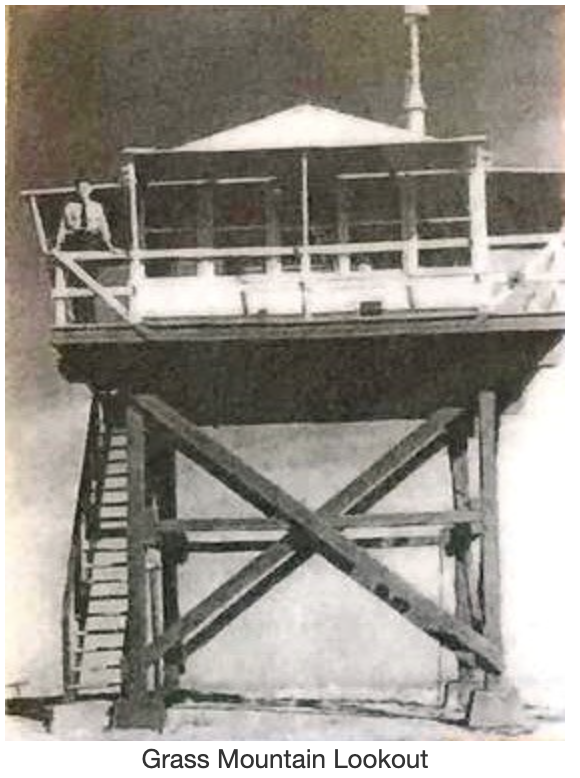
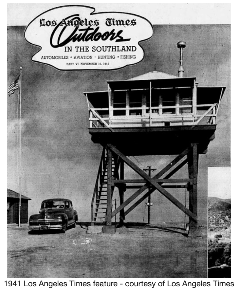
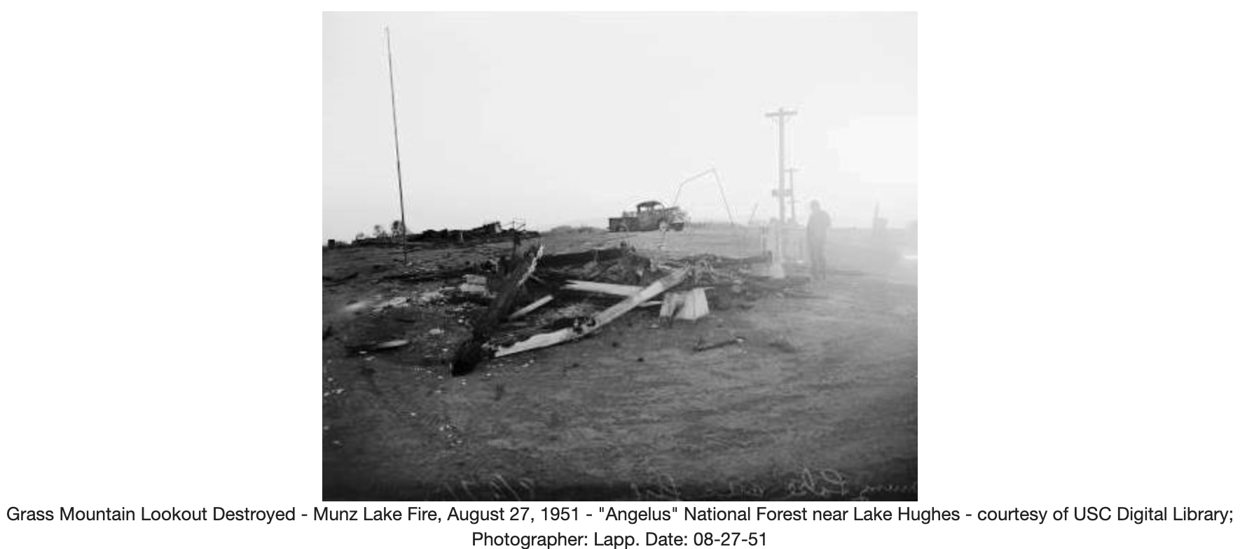
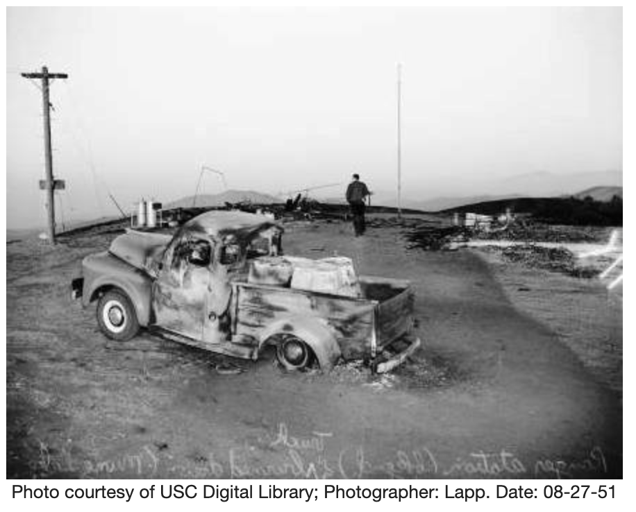
Edit – December 5th, 2022. At one time Grass Mountain hosted a fire lookout tower which was destroyed in a fire. The following info was borrowed from firelook.org without any permission whatsoever.
http://firetower.org/lookouts/us/ca/grass-mountain-lookout-site/
Description
The Grass Mountain lookout was a cooperative lookout between the U.S. Forest Service and the Los Angeles County Forestry Department built in 1934. The structure was a California Region revision of the L-4 cabin on a 10 foot open timber tower.
The lookout was destroyed a wildfire in August 1951 and was not rebuilt.