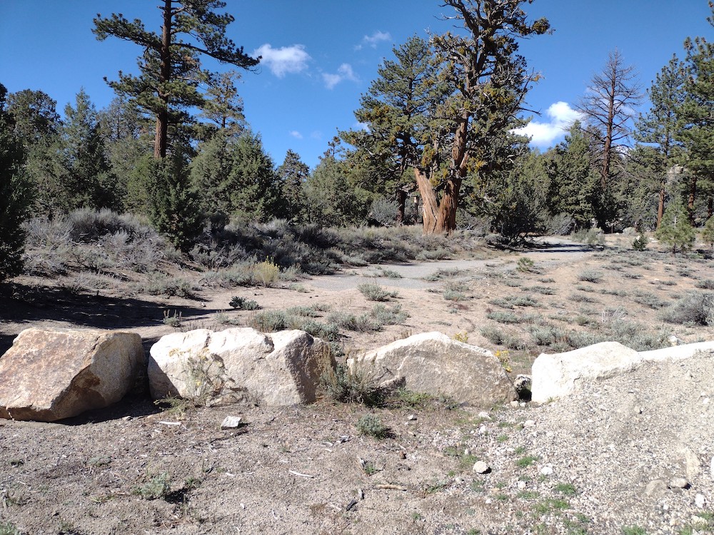
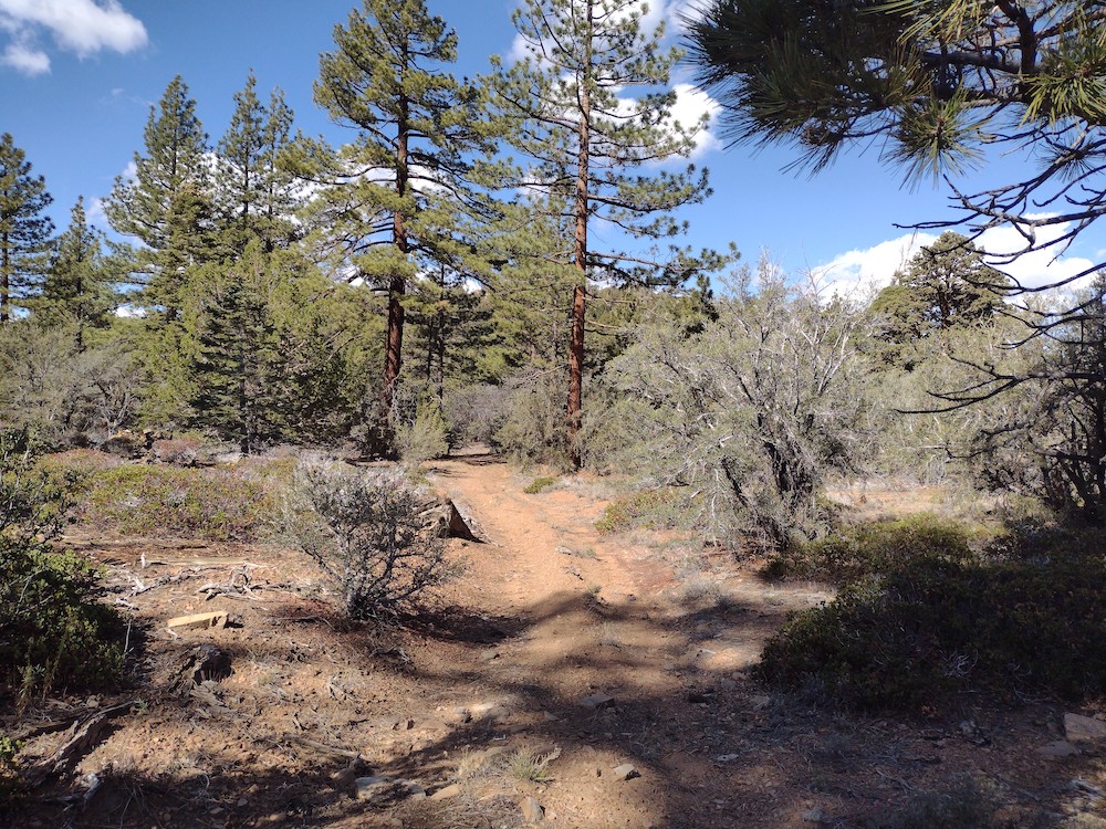
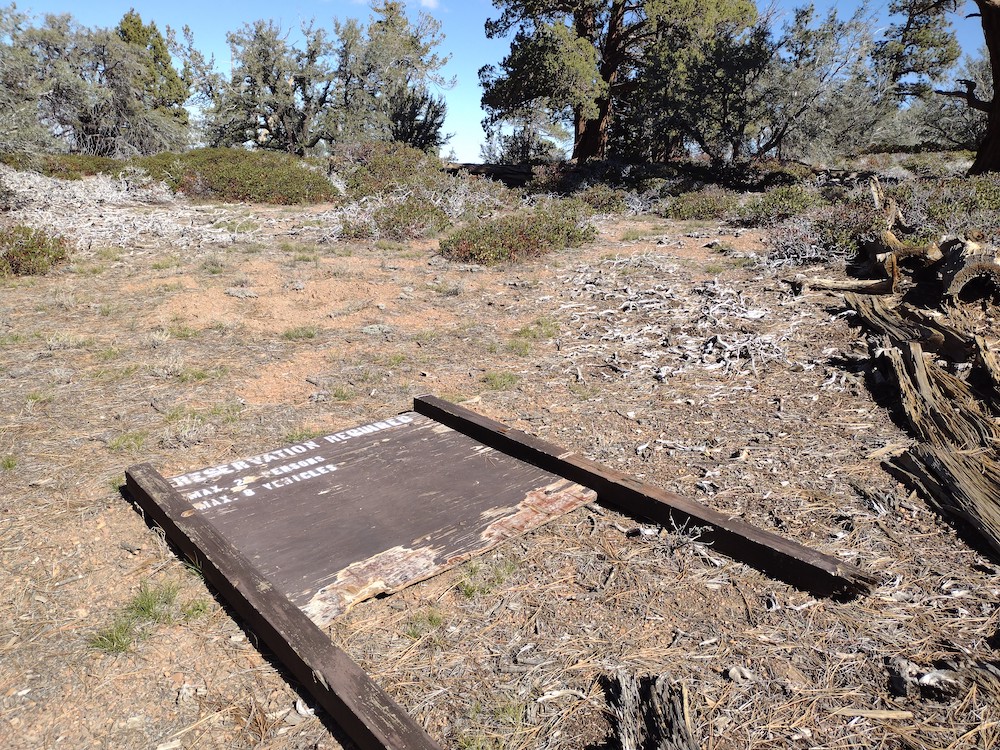
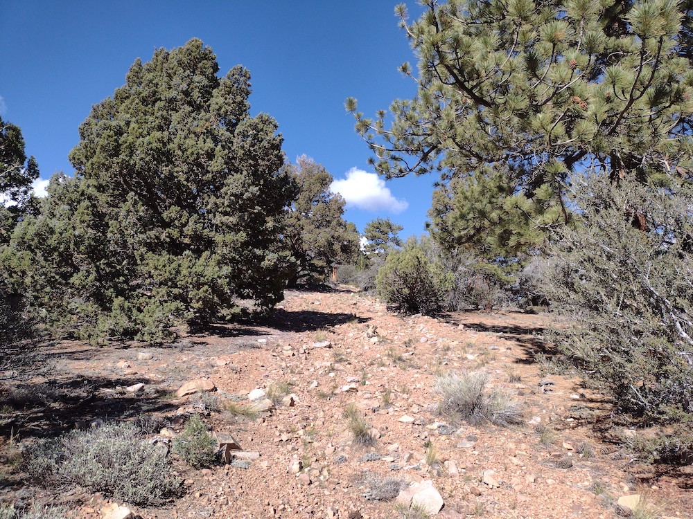
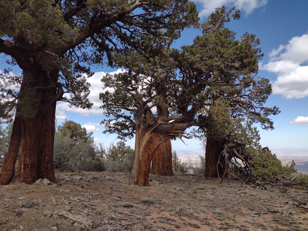
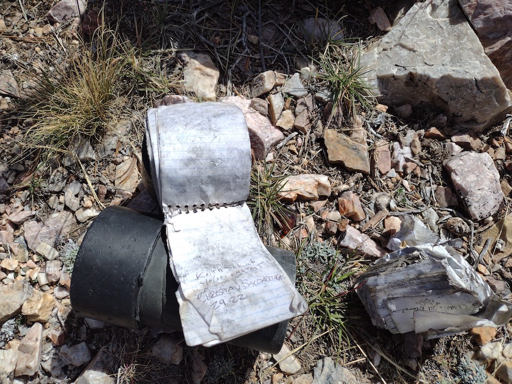
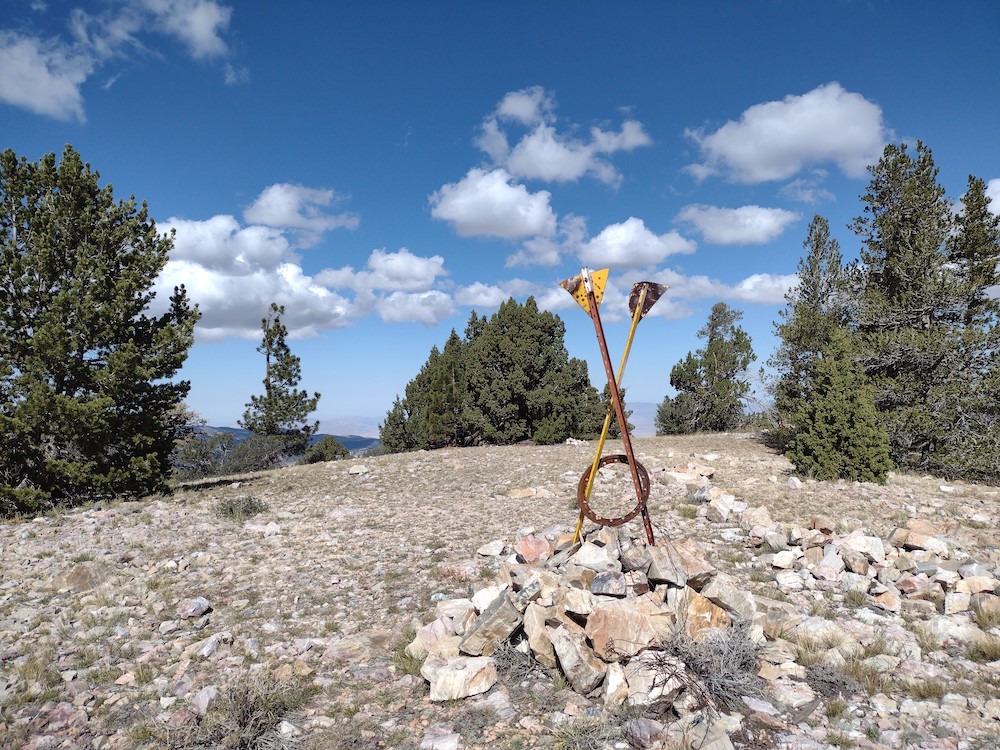
This hike starts off Hwy 38, across the street is a large area to park. I placed my Adventure Pass on the dash of my car, although I don’t think it was needed. After crossing the road and made my way through the woods a bit, I realized I couldn’t find the jeep road others had mentioned. Luckily I had a .gpx track saved on my phone, which I used to get back on track. The first mile of this hike is the steepest, gaining ~500′, 600′ in elevation. From there it relaxes quite a bit until the very end which is steep and covered in loose rocks. The summit is obvious, two large posts and a pile of rocks. There is a register here, but unfortunately it was soaking wet and covered in black mold. Worked 20, 30 and 40M CW, and 2M FM on the HT. I was able to open the 2M repeater out in Yucca Valley but nobody was available to chat. I took my time hiking down, enjoying the view and the beautiful juniper trees. I’ll be back soon!
https://sotl.as/summits/W6/CT-041
Total climbing: 4682 ft
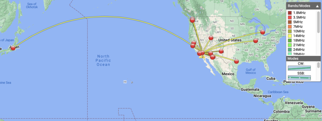
Date:13/10/2022 | Summit:W6/CT-041 (9465)
| Time | Callsign | Band | Mode | Notes |
|---|---|---|---|---|
| 19:10 | NT6E | 144MHz | FM | S59+ R58 |
| 19:11 | WA6WV | 144MHz | FM | S59+ R59 |
| 19:14 | KI6SLA | 144MHz | FM | S59 R59 |
| 19:16 | KE6GQD | 144MHz | FM | S59 R59 |
| 19:18 | N6JNY | 144MHz | FM | S59 R59 |
| 19:32 | KF6HI | 7MHz | CW | S58N R54N |
| 19:33 | WB6POT | 7MHz | CW | S5NN R57N |
| 19:38 | KX6I | 7MHz | CW | S54N R55N S2S W6/SC-300 |
| 19:39 | KR7RK | 7MHz | CW | S57N R55N |
| 19:51 | K5DEZ | 10MHz | CW | S52N R55N |
| 19:52 | K6HPX | 10MHz | CW | S58N R57N |
| 19:54 | AF7M | 10MHz | CW | S55N R55N |
| 19:55 | AI7DK | 10MHz | CW | S56N R55N |
| 19:56 | WU7H | 10MHz | CW | S42N R33N |
| 20:12 | W9MRH | 14MHz | CW | S51N R52N |
| 20:13 | K7EA | 14MHz | CW | S55N R55N |
| 20:15 | AK5SD | 14MHz | CW | S44N R41N |
| 20:16 | W6DER | 14MHz | CW | S56N R55N |
| 20:18 | WW7D | 14MHz | CW | S42N R53N S2S W7W/KG-015 |
| 20:21 | AC7MA | 14MHz | CW | S33N R33N S2S W7W/KG-015 |
| 20:24 | KA7GPP | 14MHz | CW | S31N R44N S2S W7W/SK157 |
| 20:26 | KD8DEU | 14MHz | CW | S42N R22N |
| 20:30 | JH1MXV | 14MHz | CW | S21N R22N |
