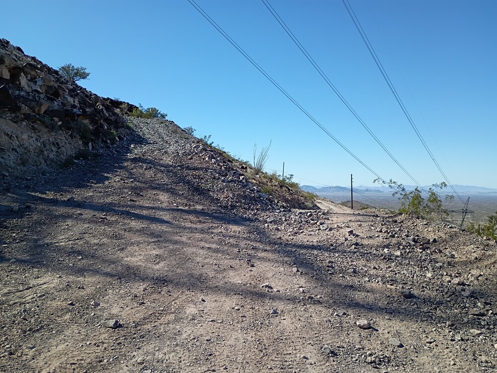
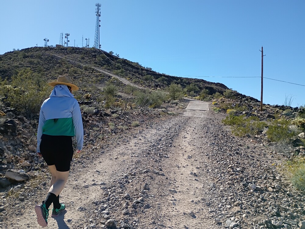
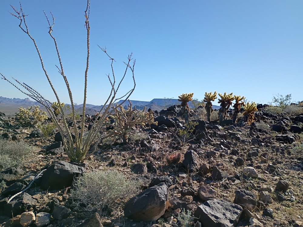
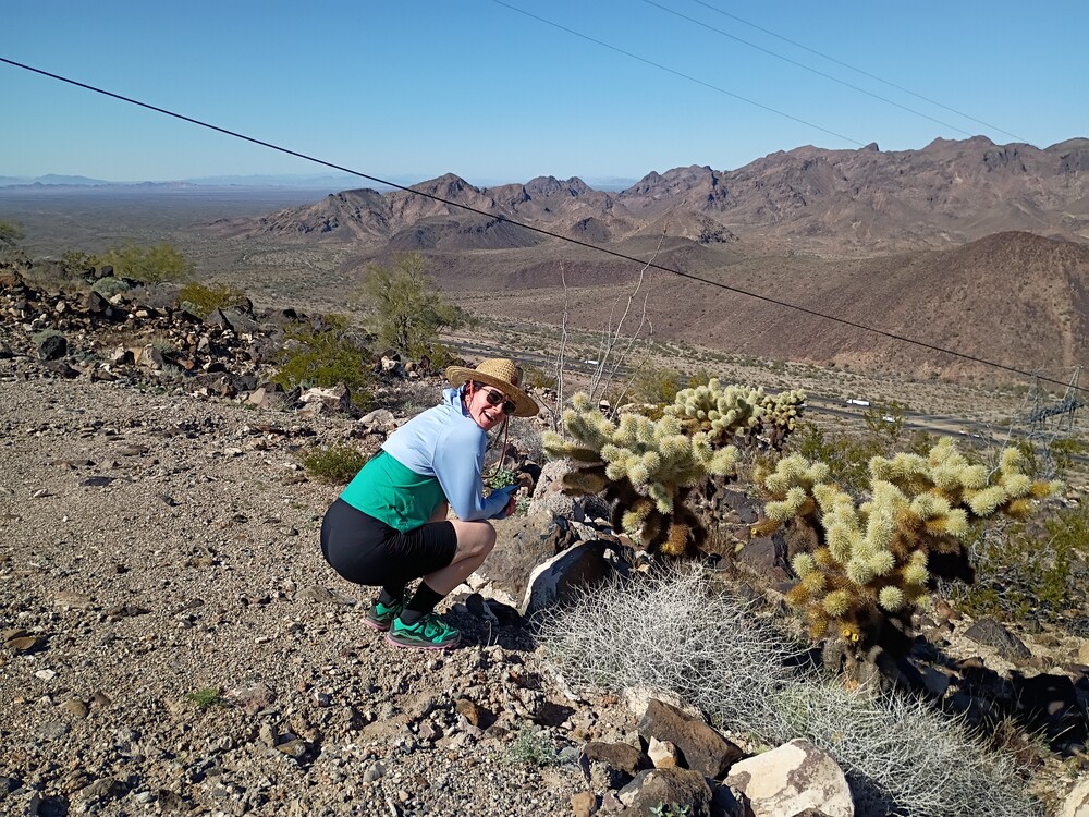
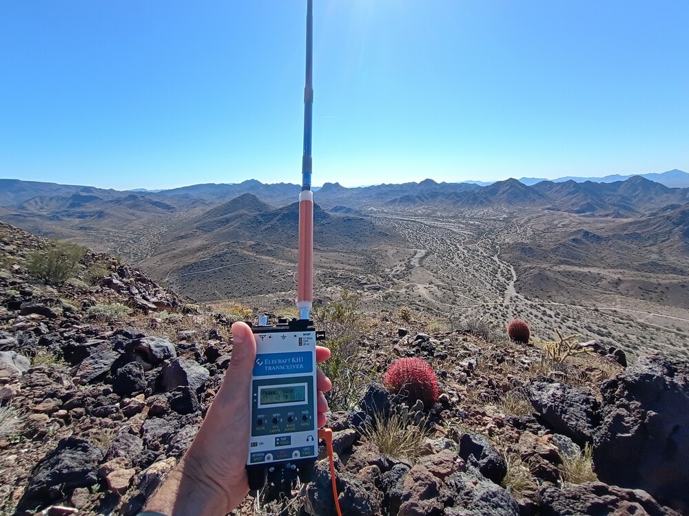
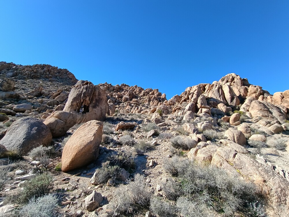
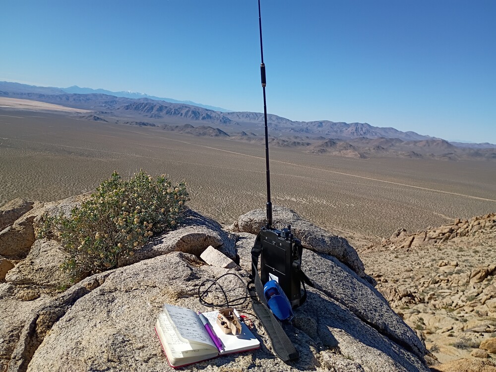
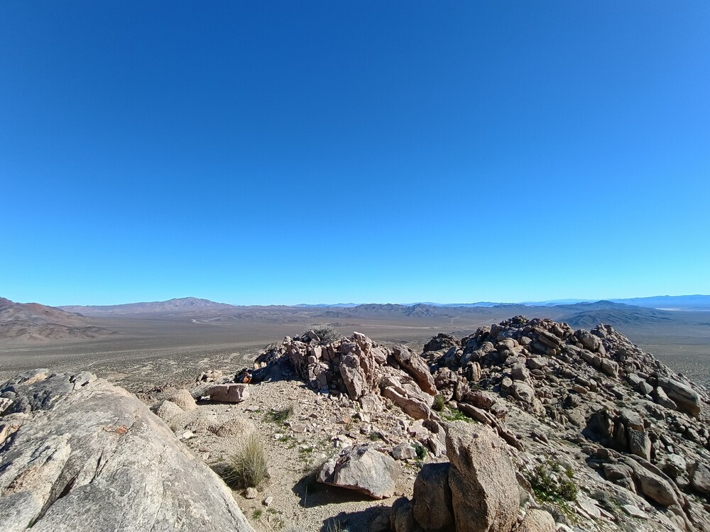
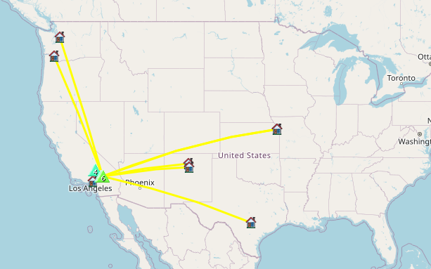
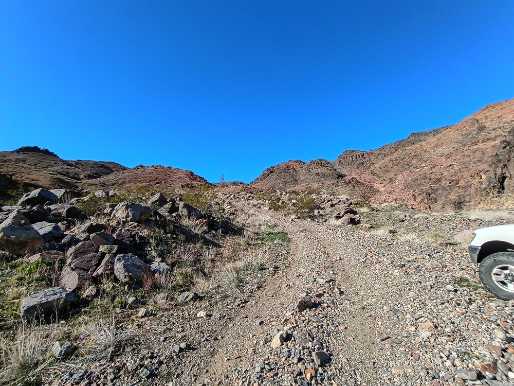
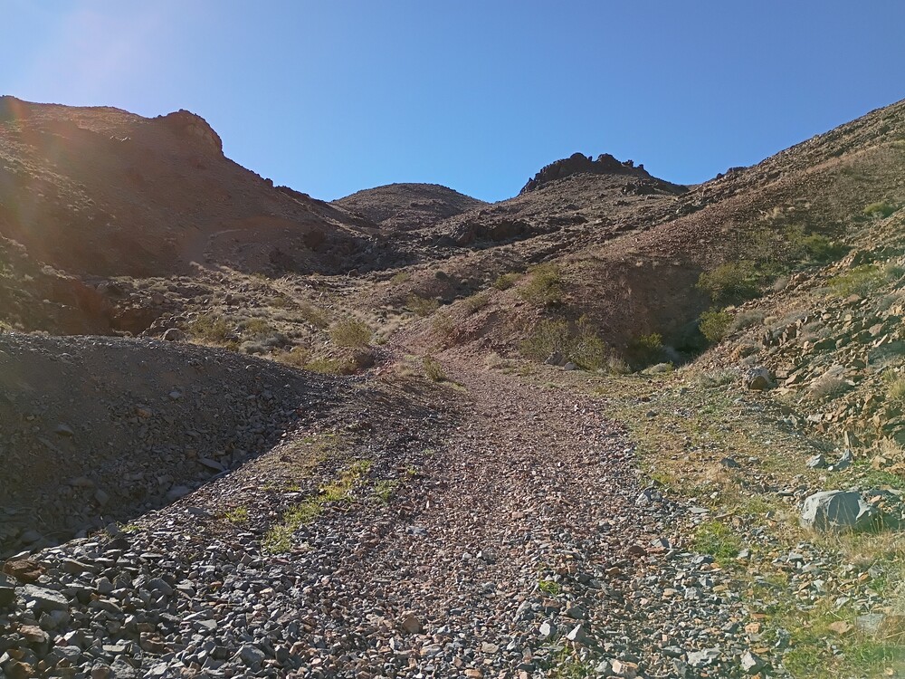
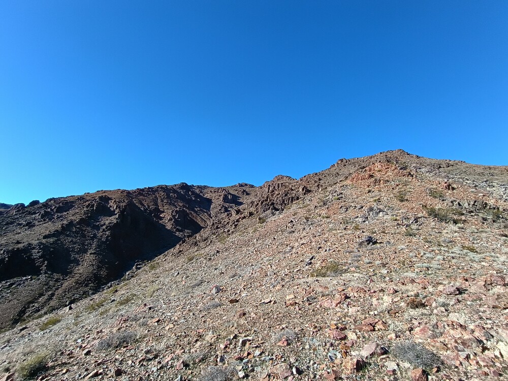
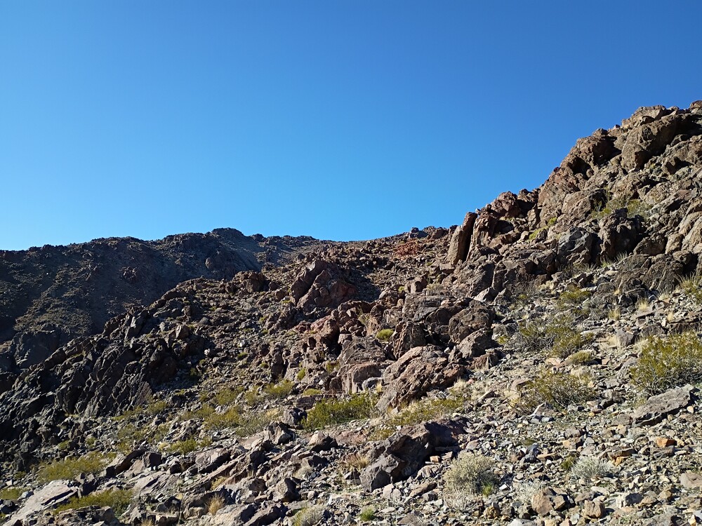
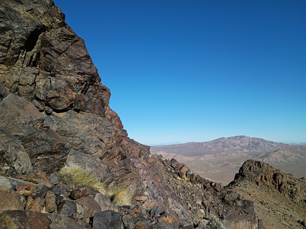
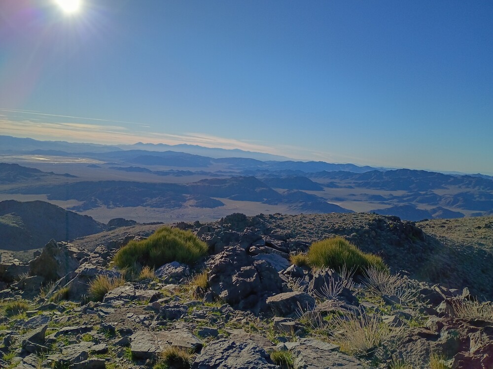
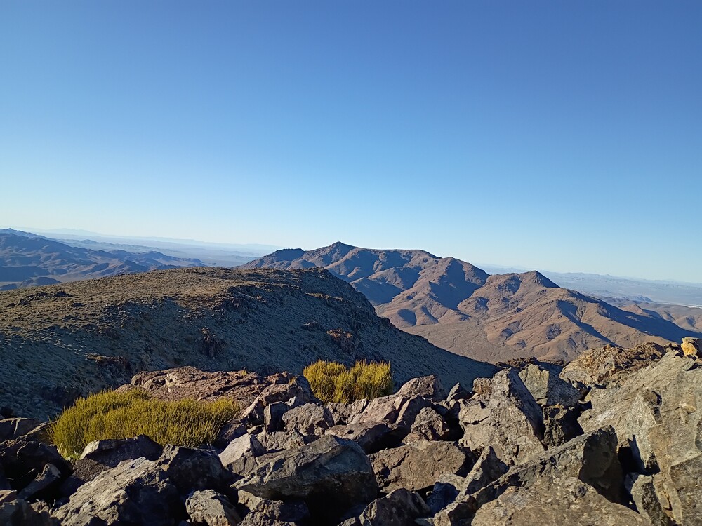
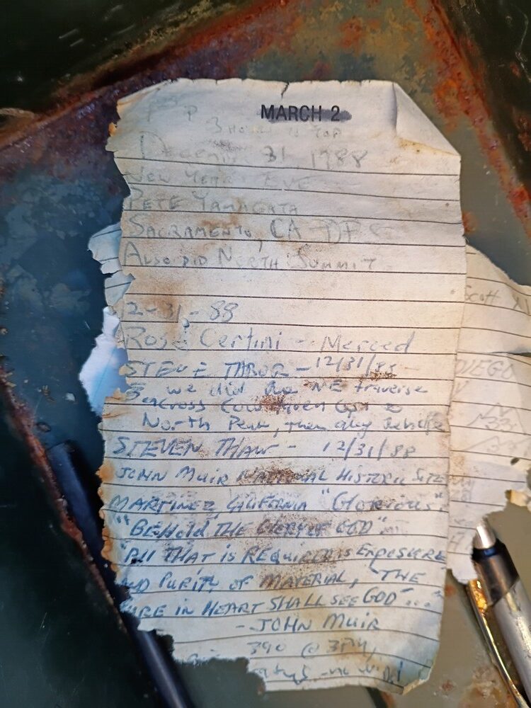
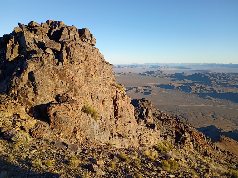
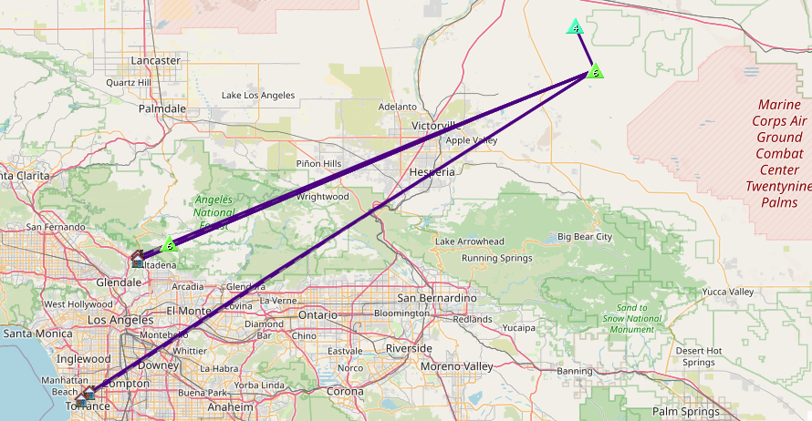
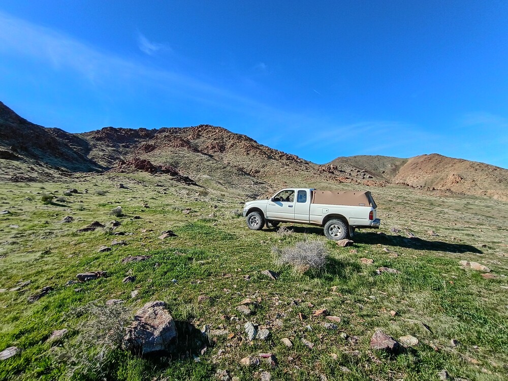
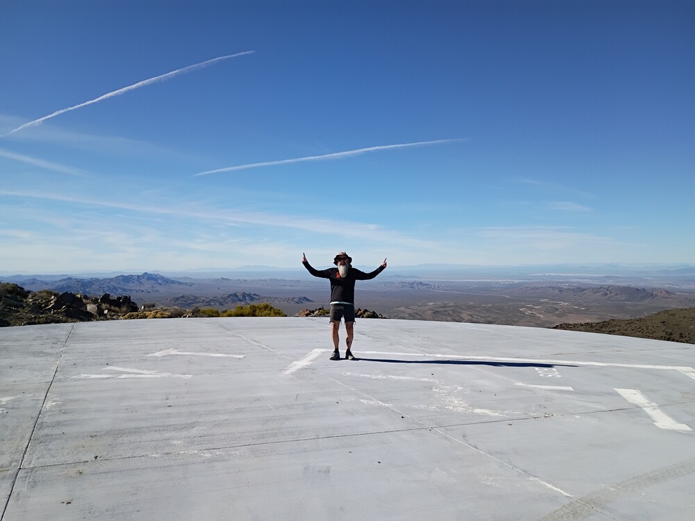
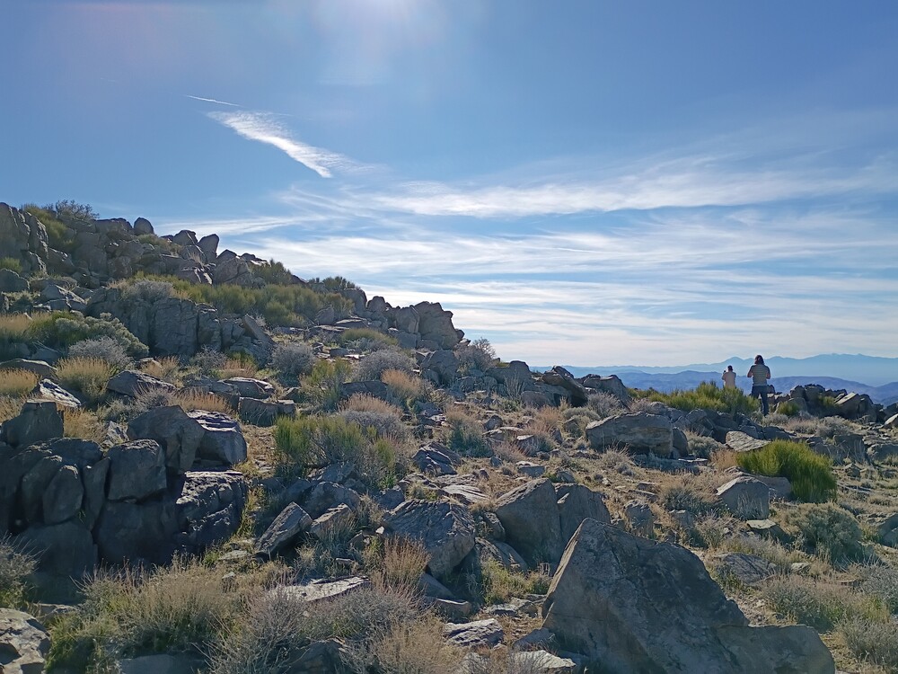
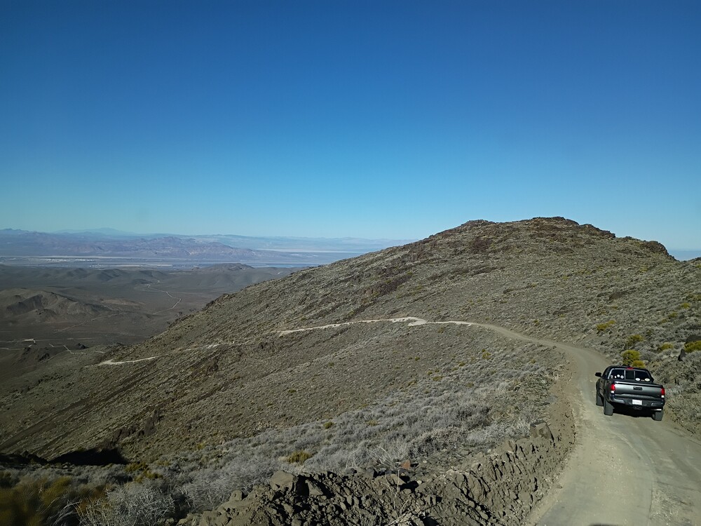
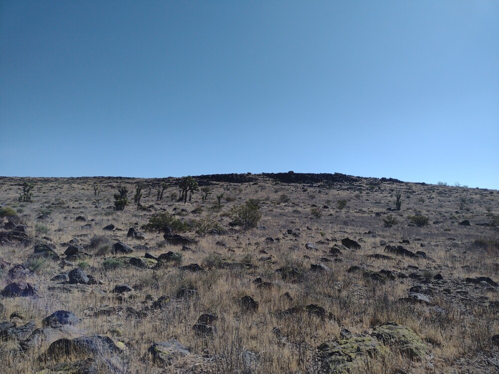
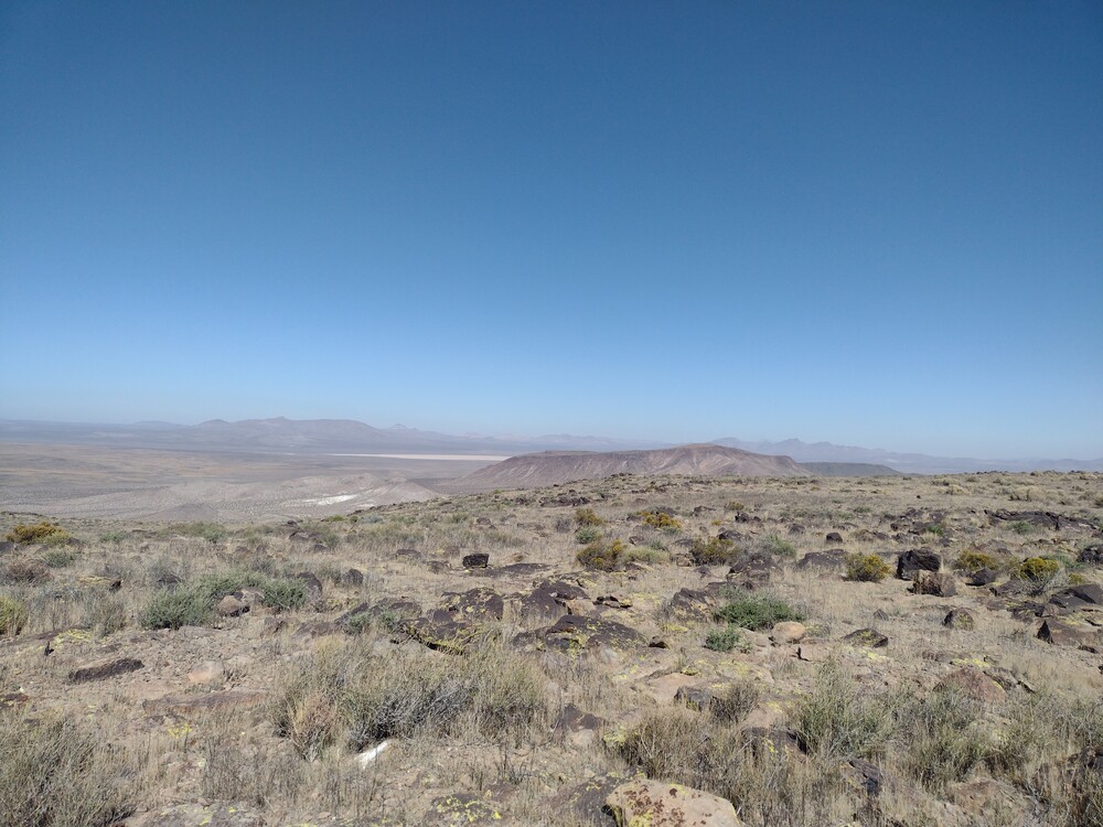
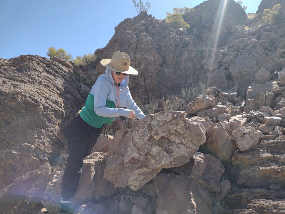
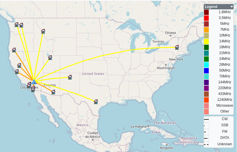
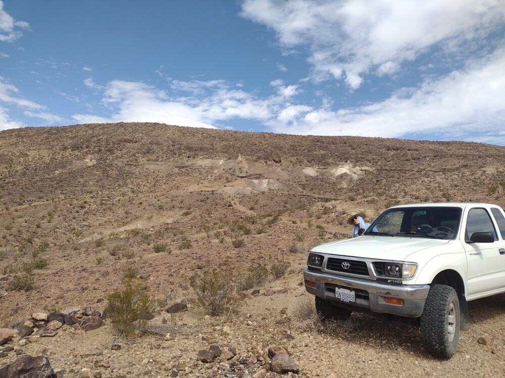
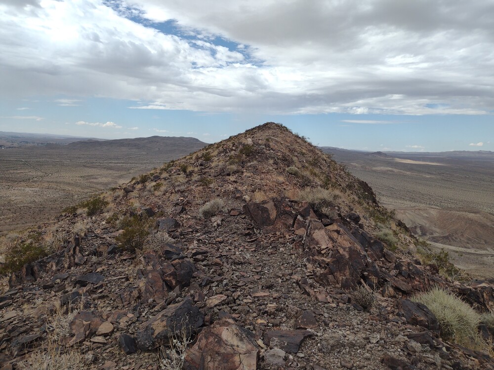
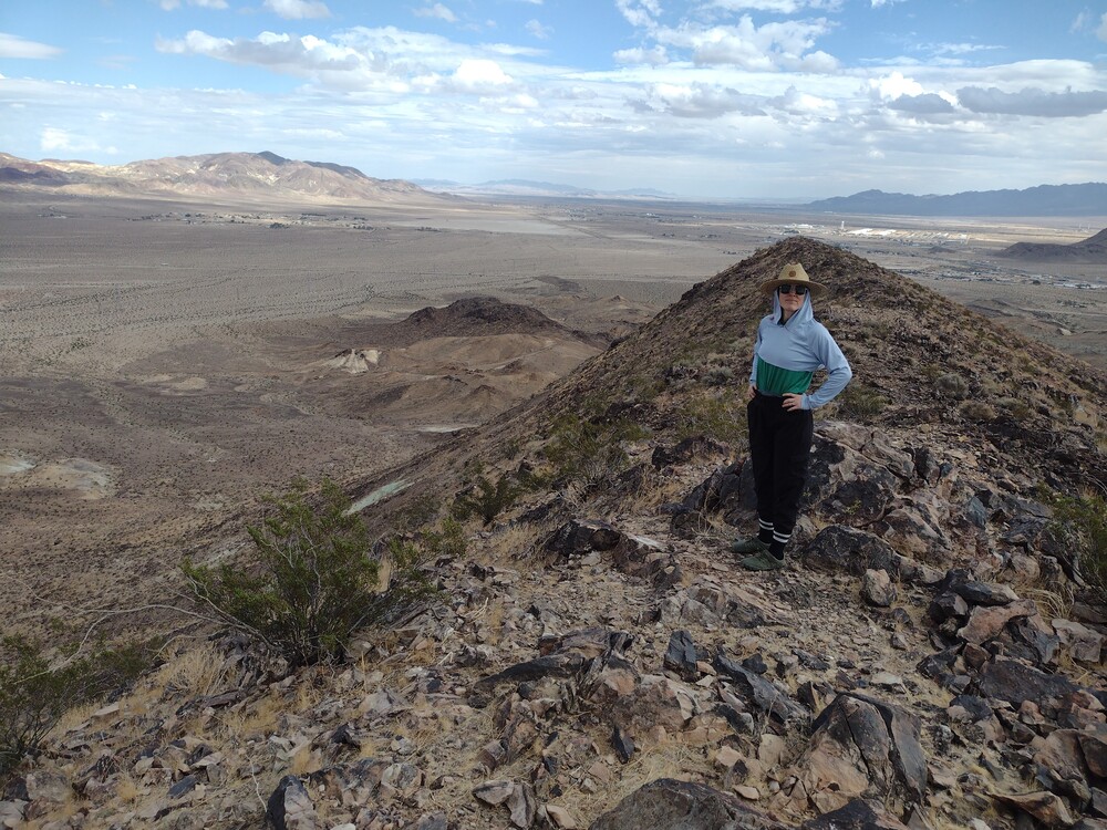
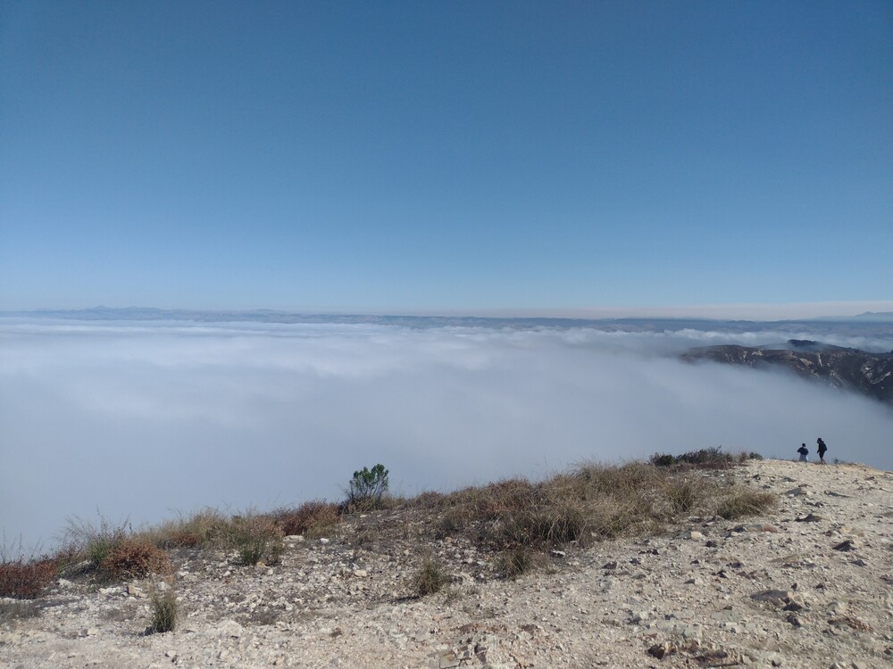
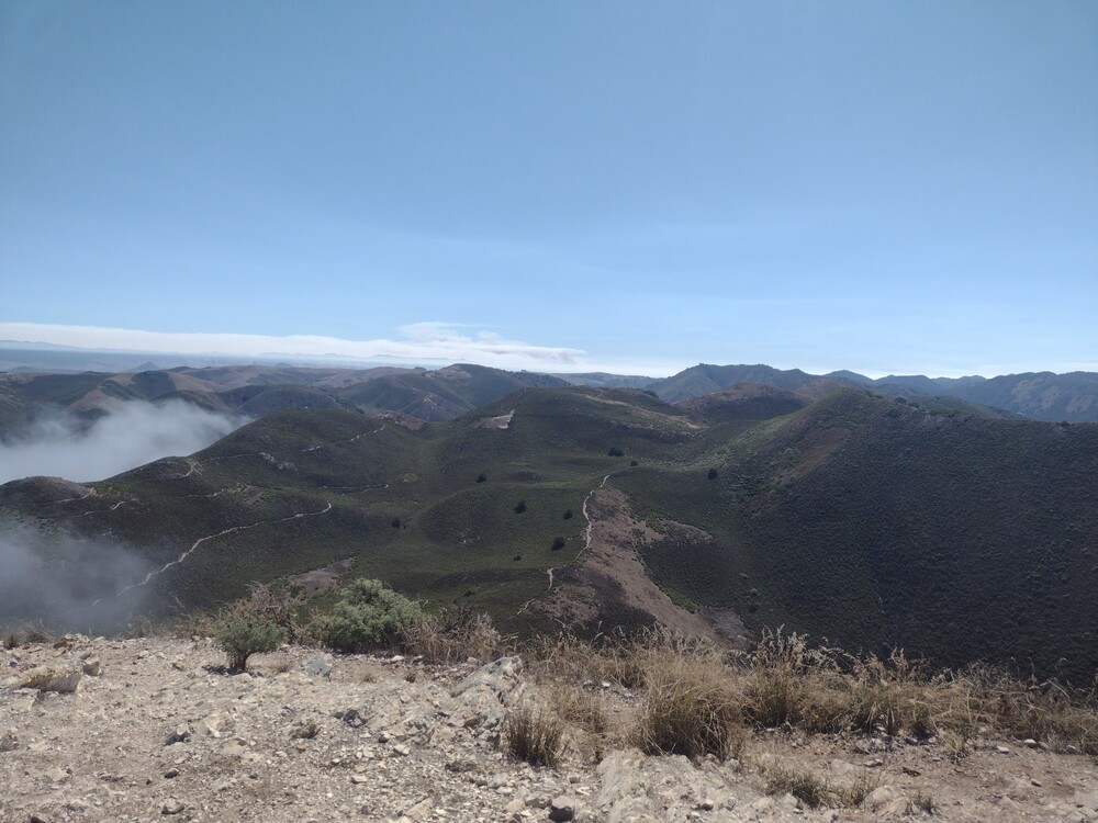
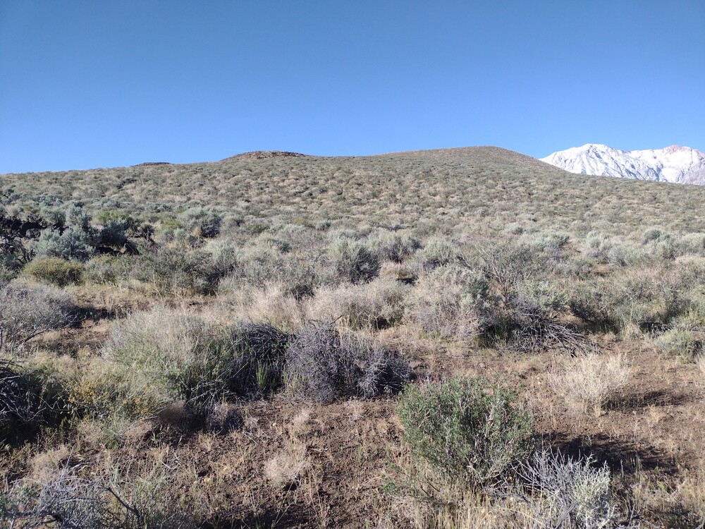
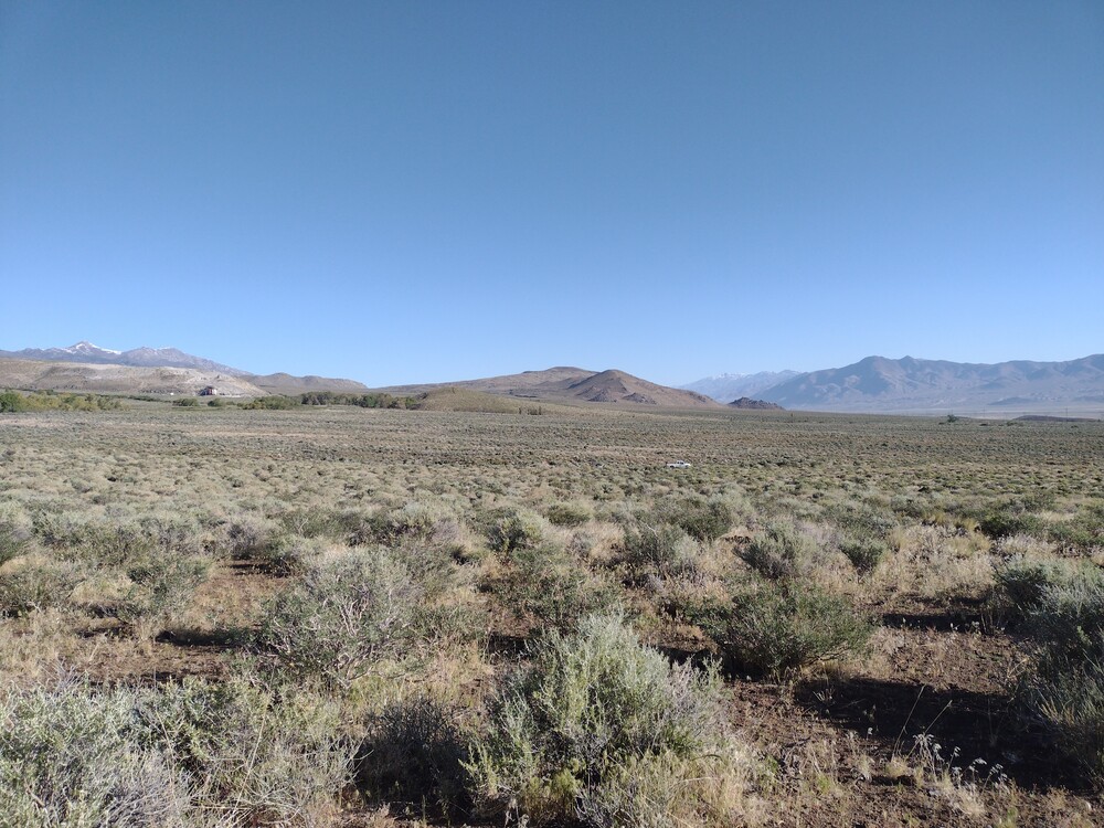
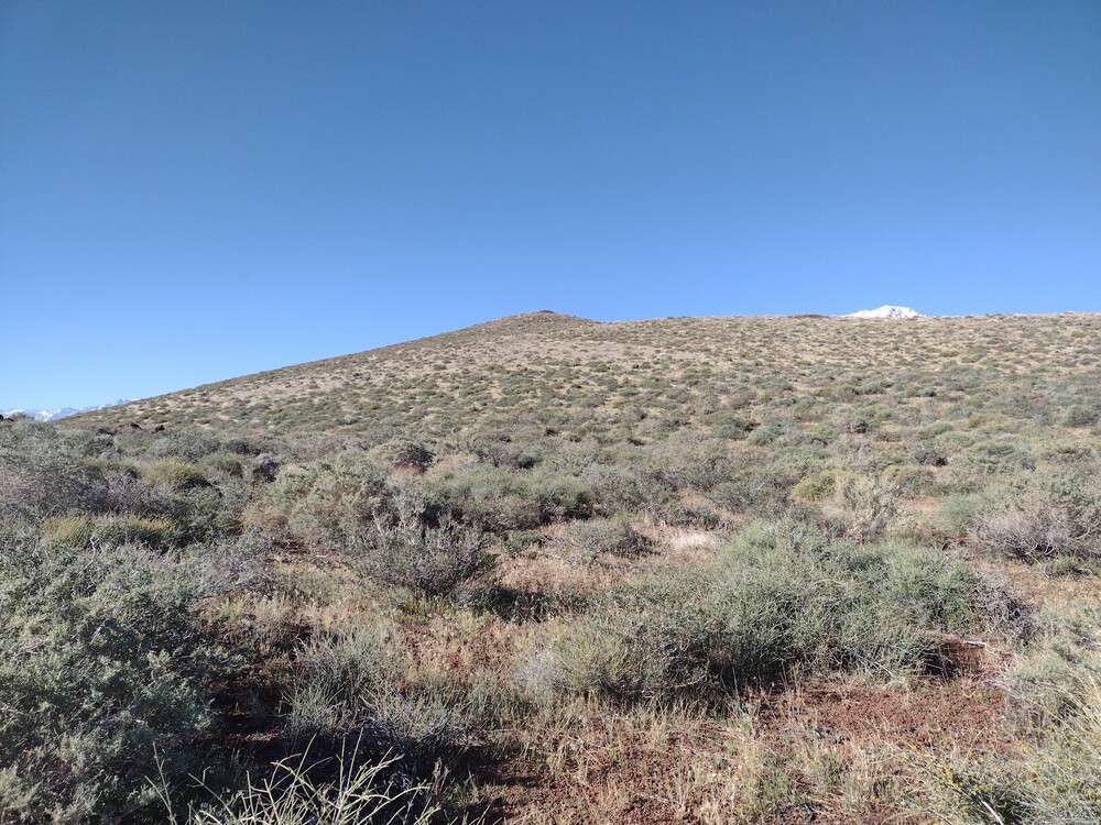
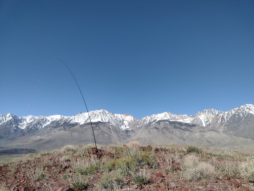
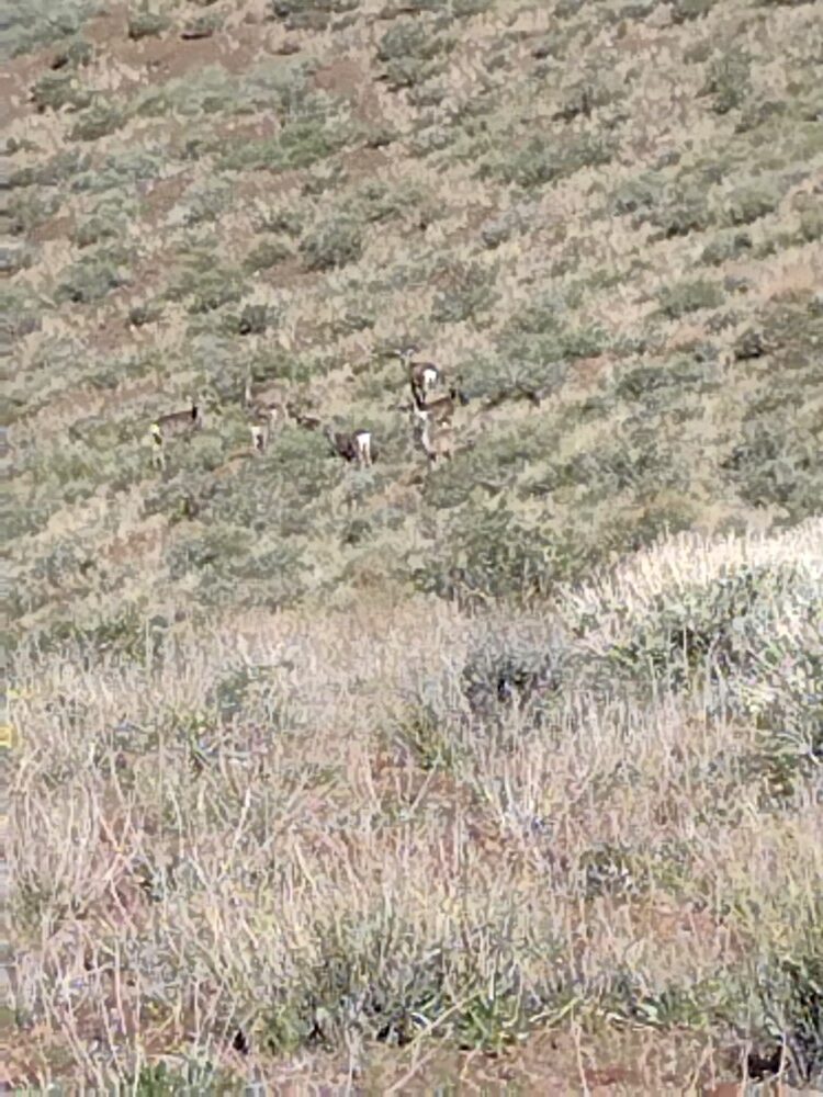
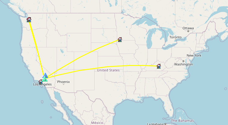
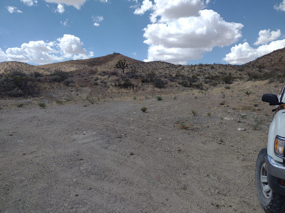
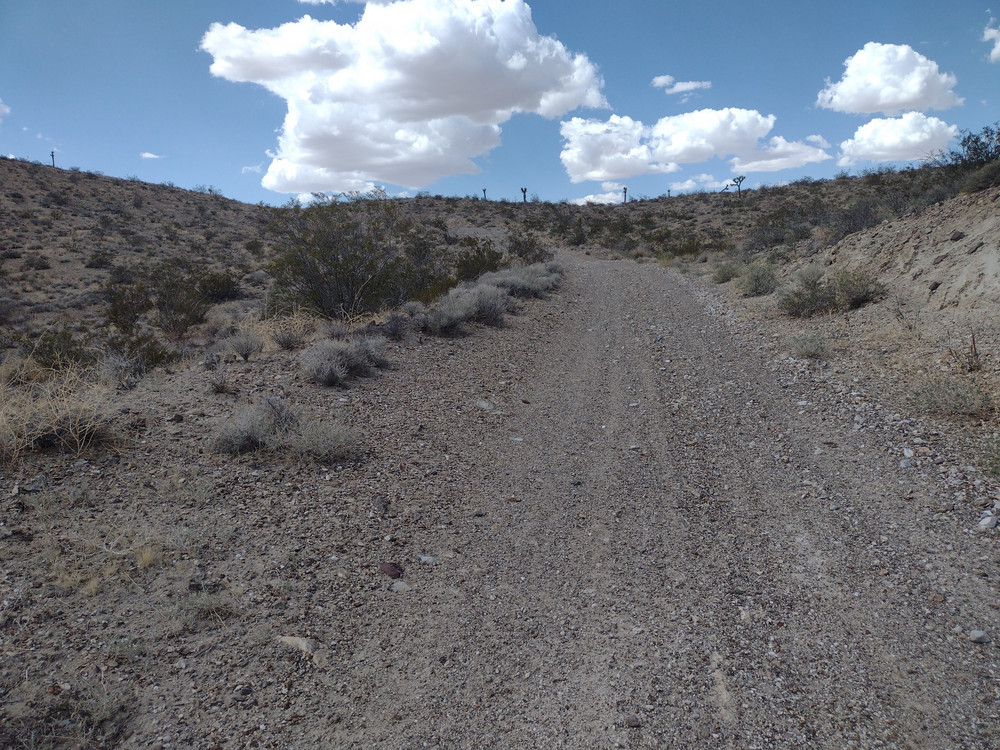
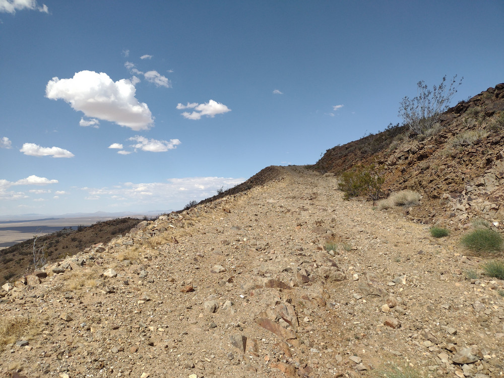
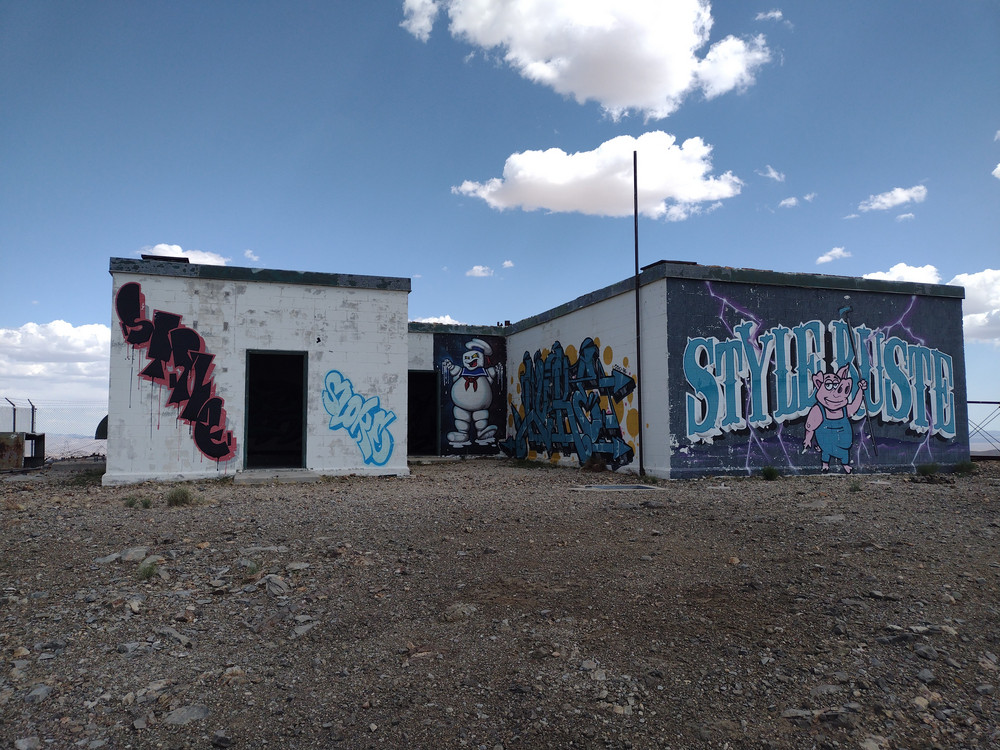
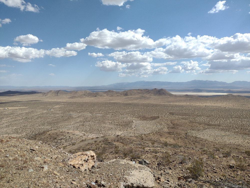
Kel and I were driving out to Tucson on interstate 10 for the gem show. Guadalupe Mountain is East of Quartzsite with easy access from the freeway. It’s also a good spot to stop and walk around after being in a car for a few hours. Get off at Gold Nugget Rd, then follow it East until you get to the communications site access road, which goes to the summit. We drove a Subaru about half way up before it got too rutted out to continue. From there, it’s a steep hike up. The last bit it of road is paved which makes it easier. At the top are several communication shelters. I found a rock off to the side to operate from, and gave 2M FM a shot, with two QSOs into Quartzsite. Worked 17M with one S2S. Got a text from another SOTA op needing a complete, so I moved to 40M using the whip and coil on the KH1. That worked pretty well! There are a lot of unactivated summits around Quartzsite, and maybe it’s worth a dedicated trip out there to bag several of them.
https://sotl.as/summits/W7A/PZ-060
Total climbing: 274 ft
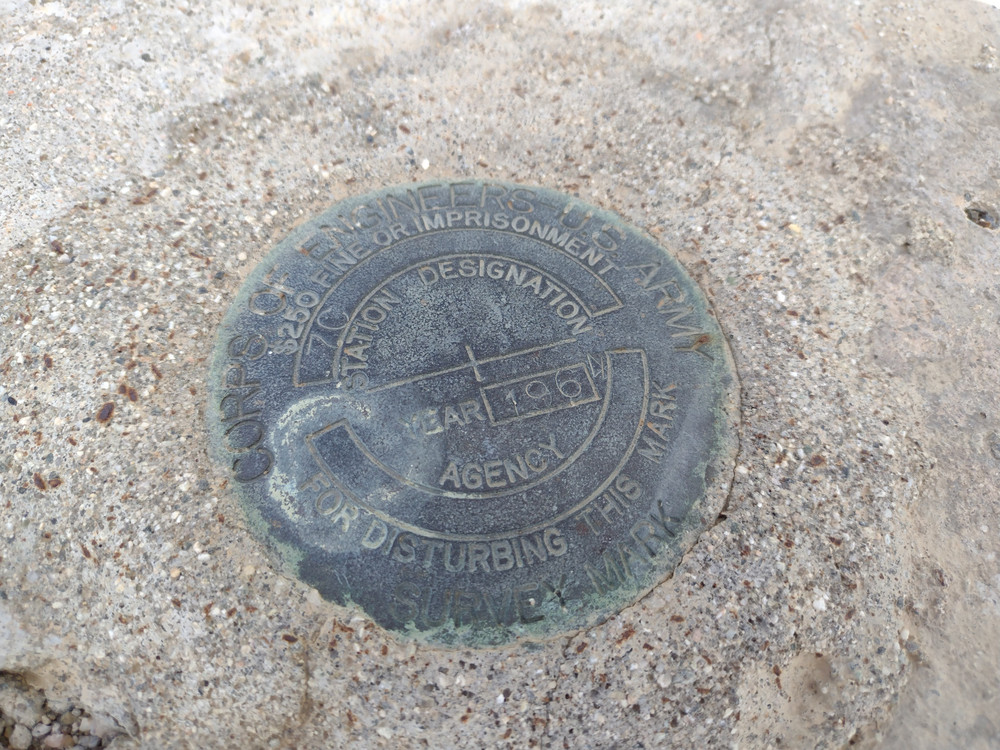
Date:04/02/2026 | Summit:W7A/PZ-060 (Guadalupe Mountain)
| Time | Callsign | Band | Mode | Distance (km) | Notes |
|---|---|---|---|---|---|
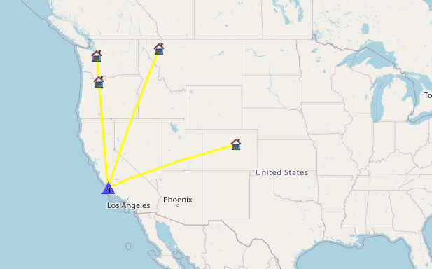
| 21:07 | K8EN | 144MHz | FM | S59 R59 | |
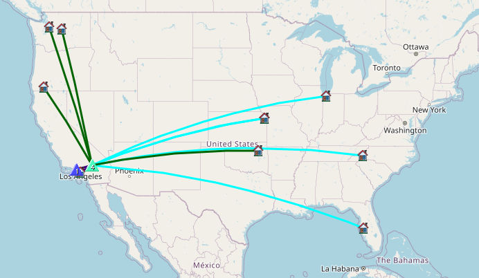
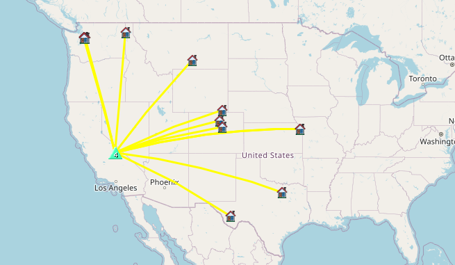
| 21:16 | K6EL | 18MHz | CW | 872 | S2S W6/NC-298 S57N R58N |
| 21:18 | WB6POT | 18MHz | CW | S58N R57N | |
| 21:19 | NU7A | 18MHz | CW | S58N R33N | |
| 21:19 | K7ENE | 144MHz | FM | S59 R59 | |
| 21:20 | KH2TJ | 18MHz | CW | S55N R55N | |
| 21:23 | WU7H | 18MHz | CW | S33N R52N | |
| 21:29 | K6STR | 7MHz | CW | S33N R22N | |
| 21:30 | W6LOR | 7MHz | CW | S33N R22N | |
| 21:33 | NT6E | 7MHz | CW | S57N R52N | |
| 21:34 | K6MII | 7MHz | CW | S42N R55N |