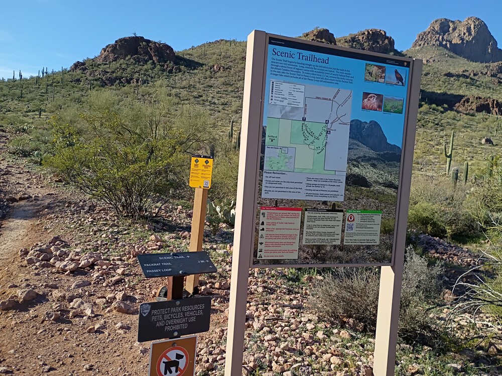
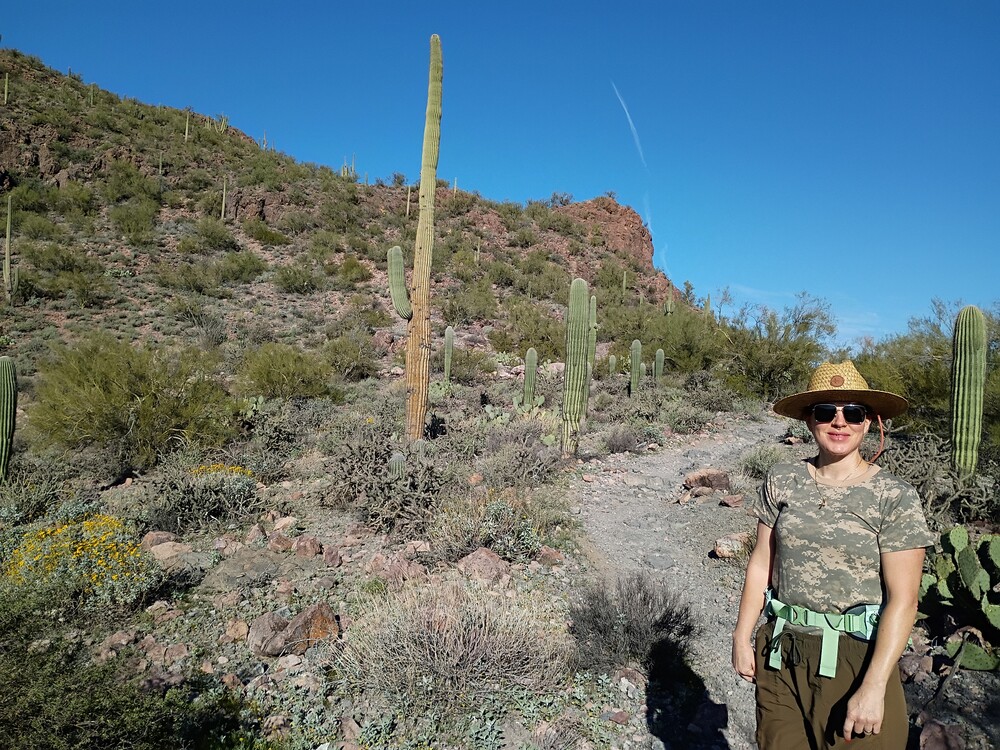
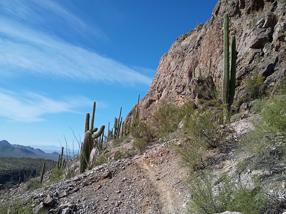
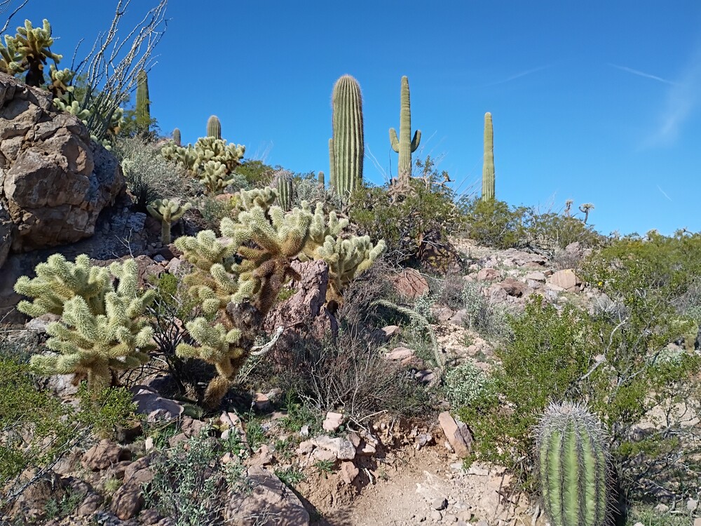
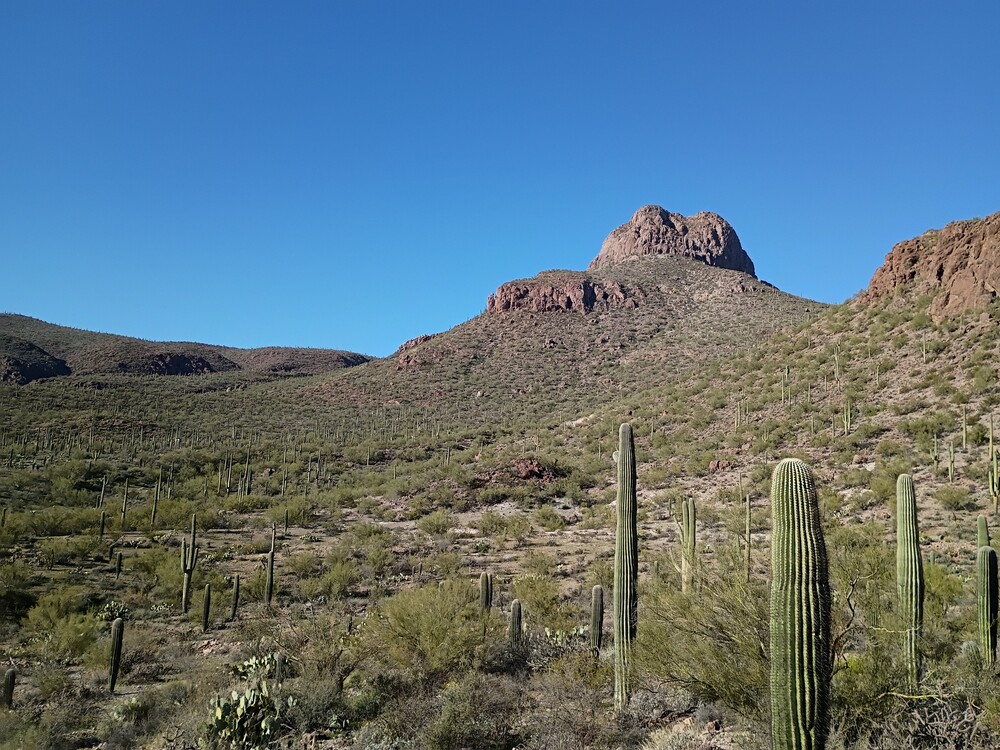
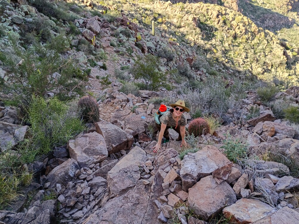
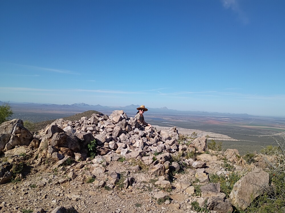
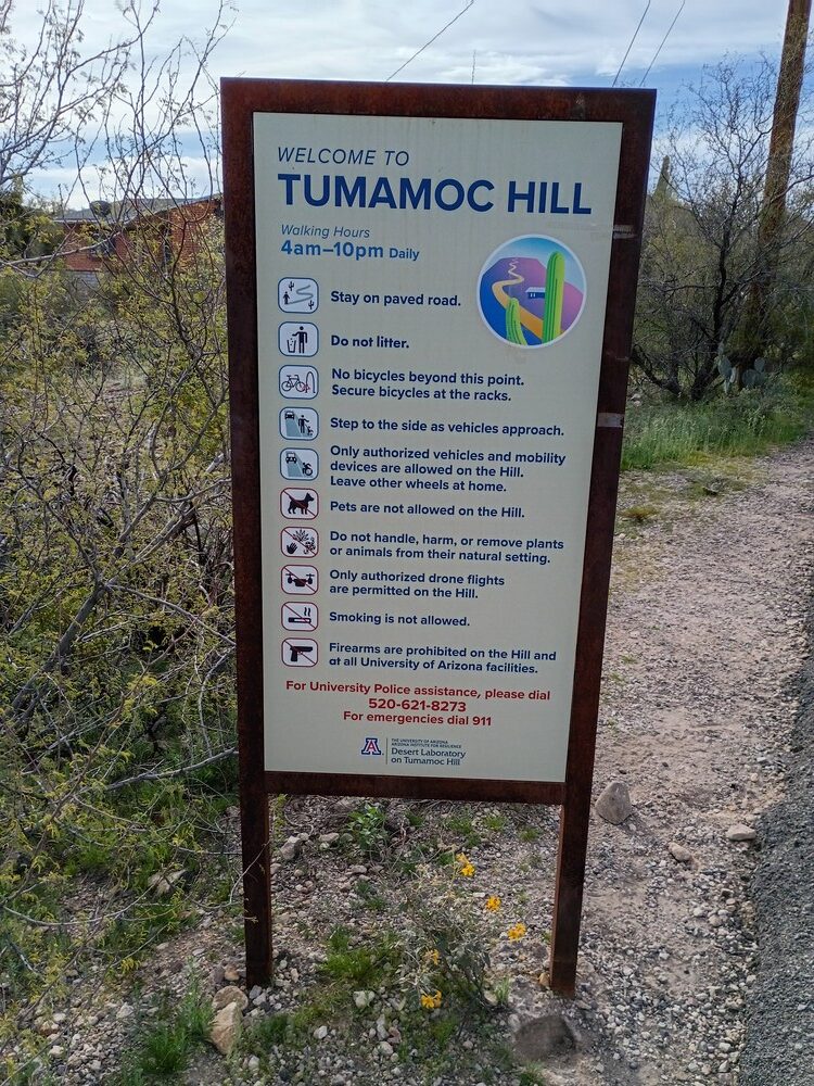
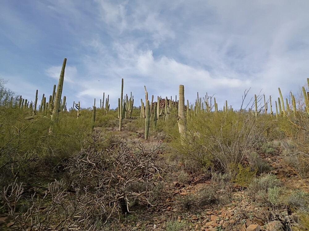
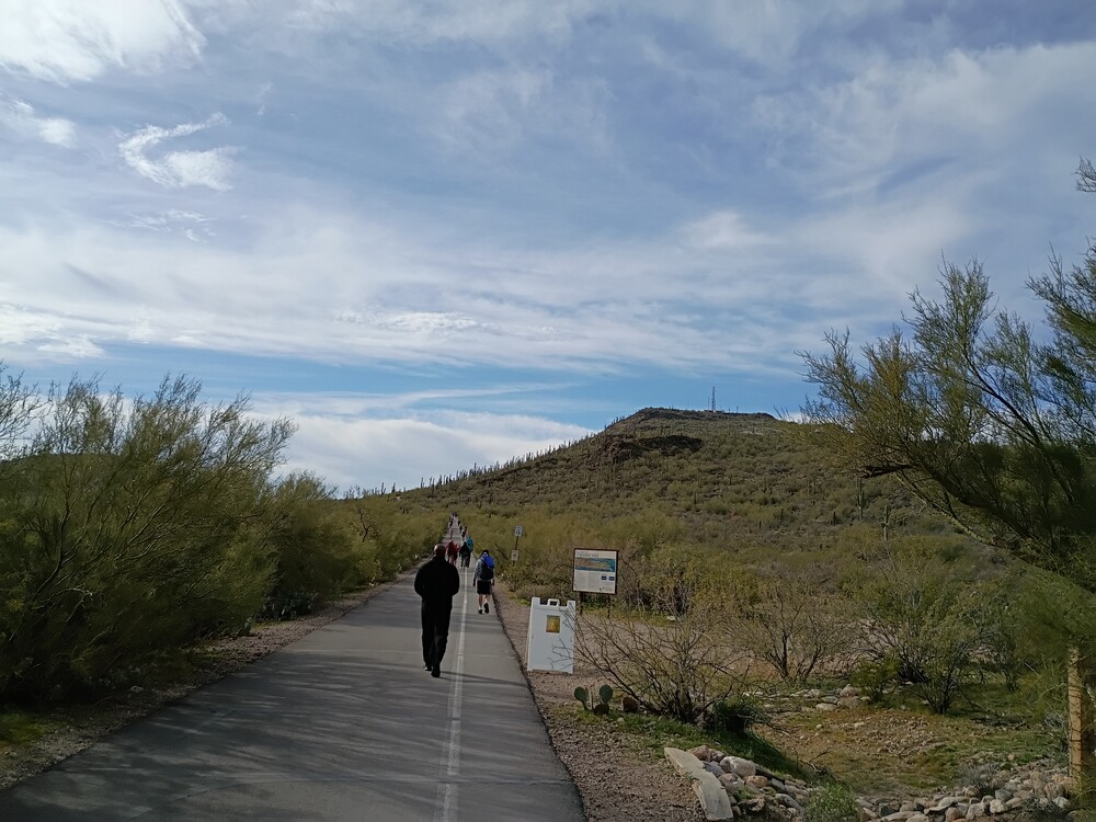
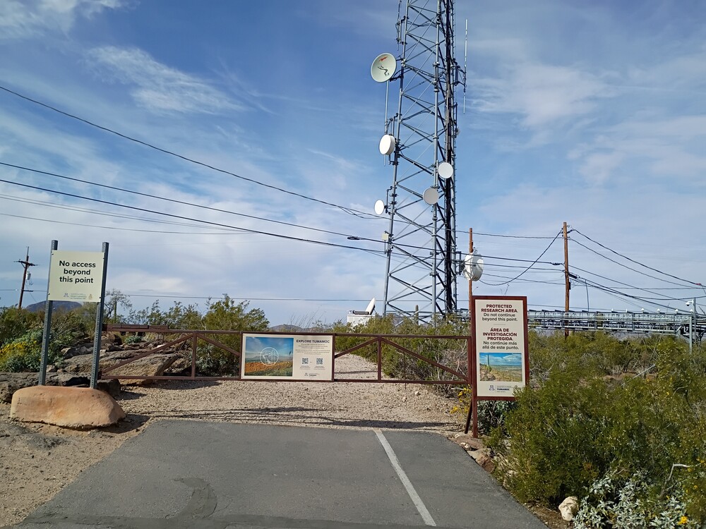
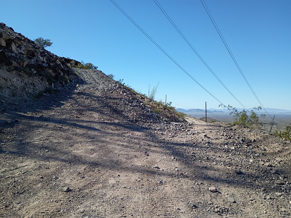
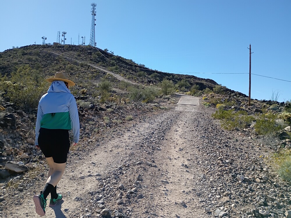
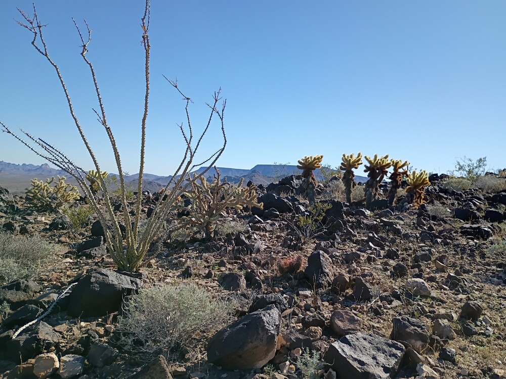
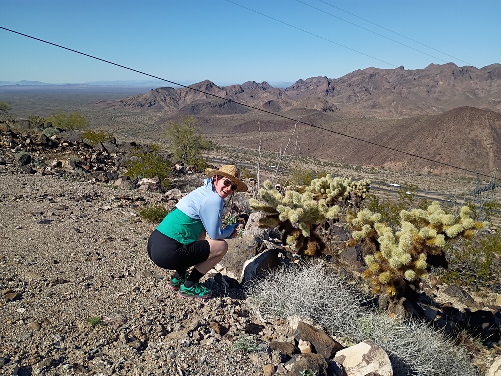
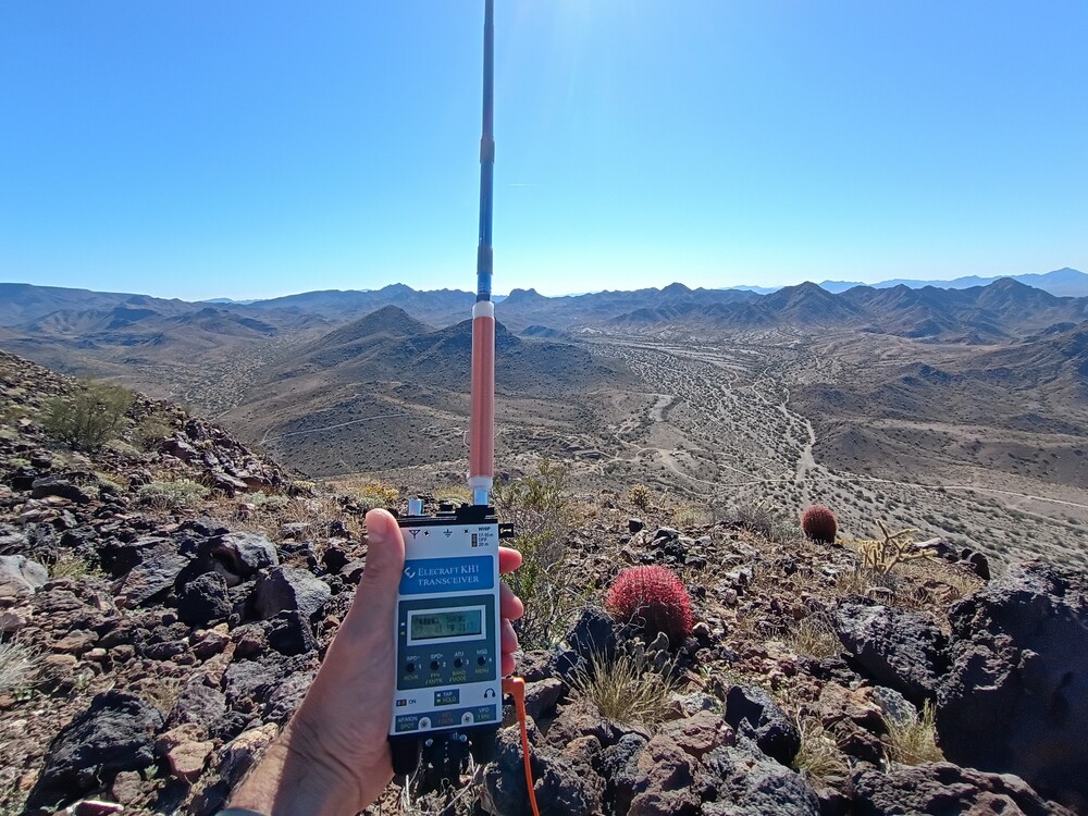
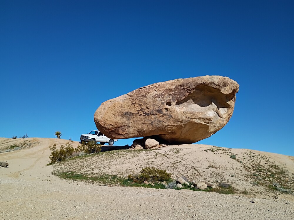
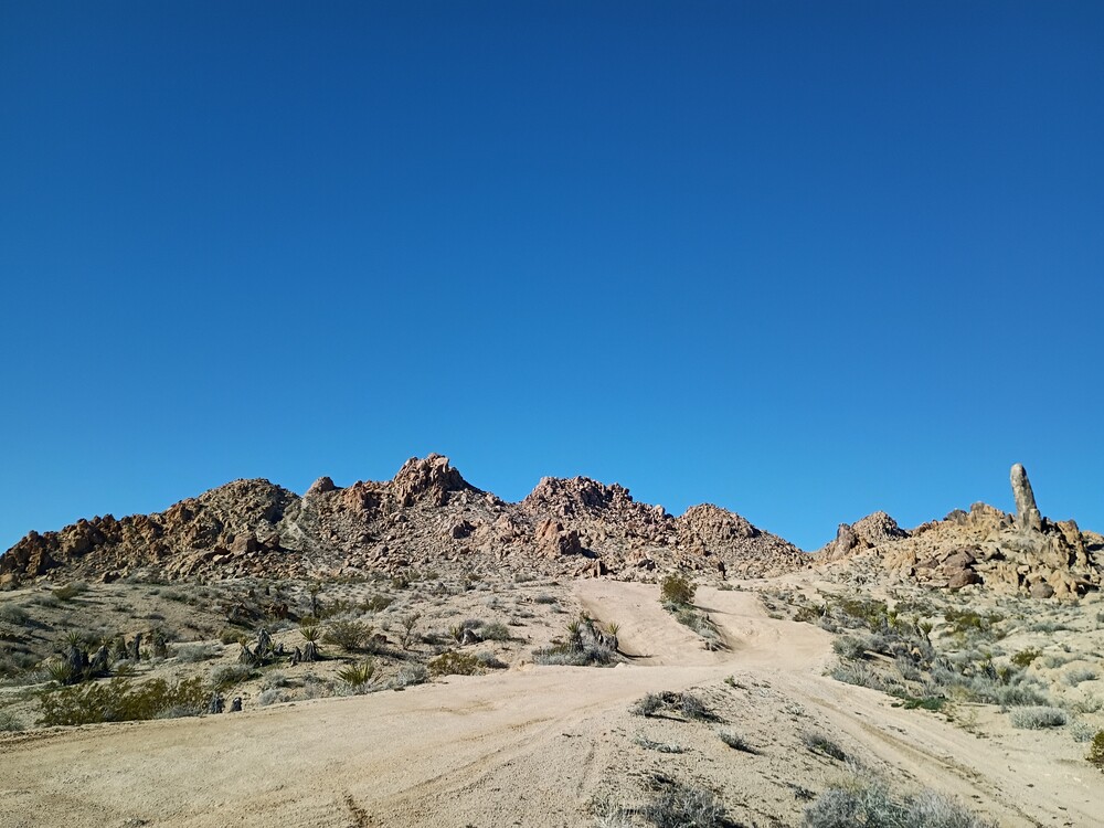
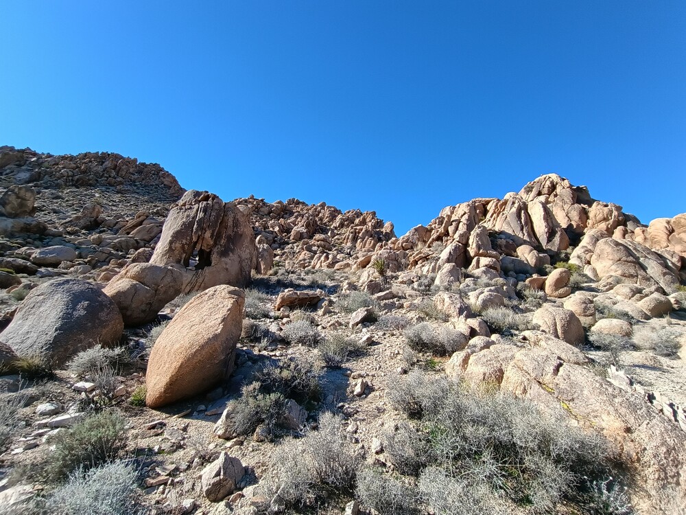
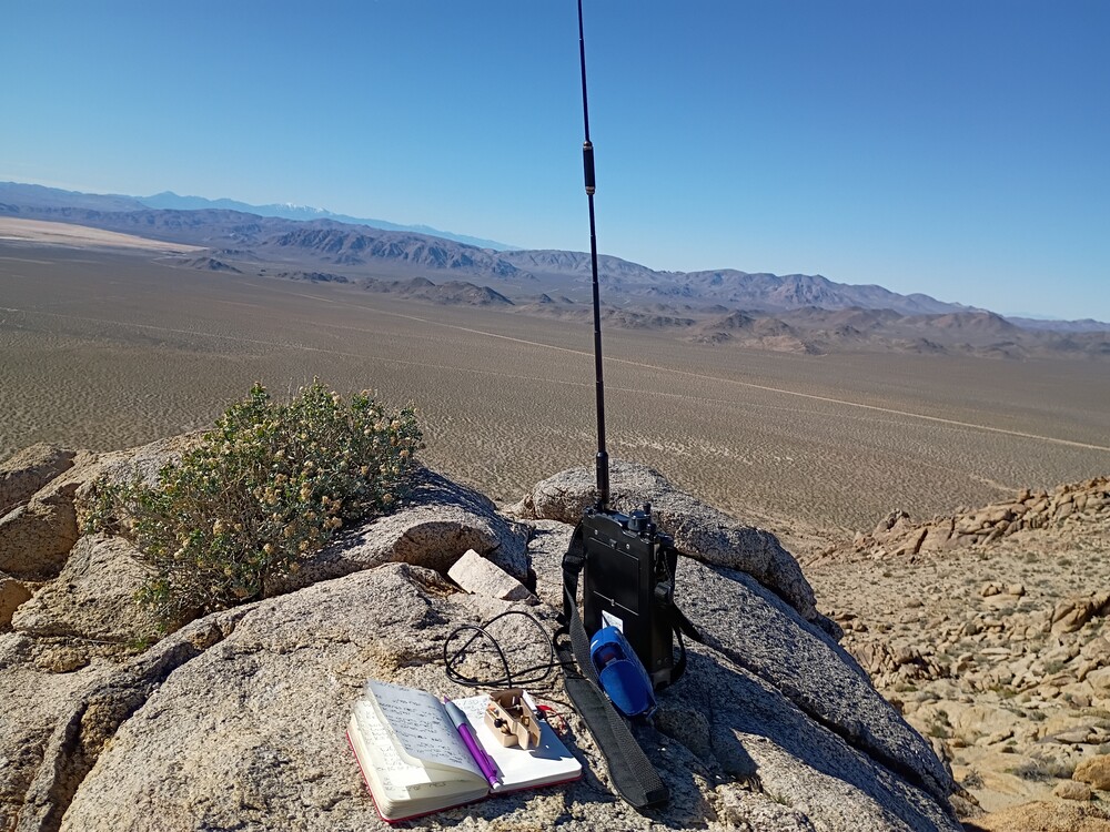
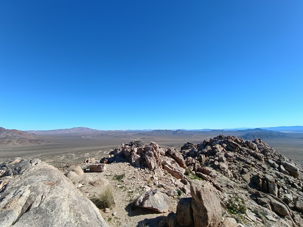
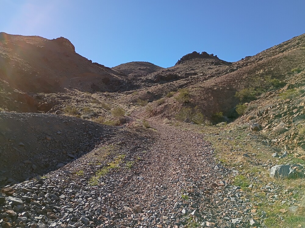
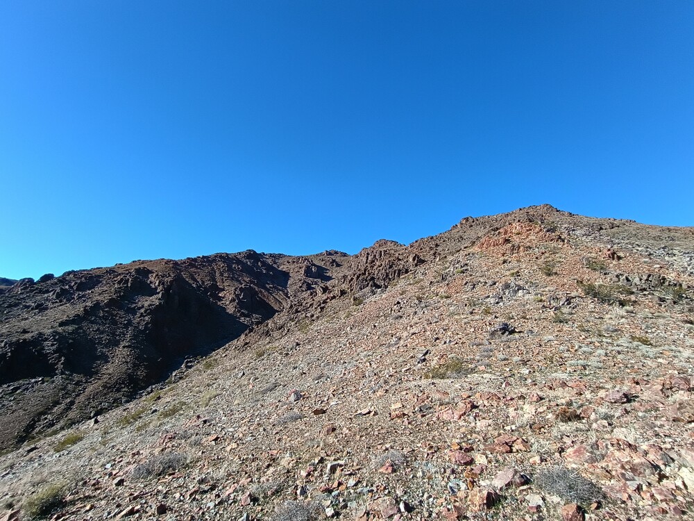
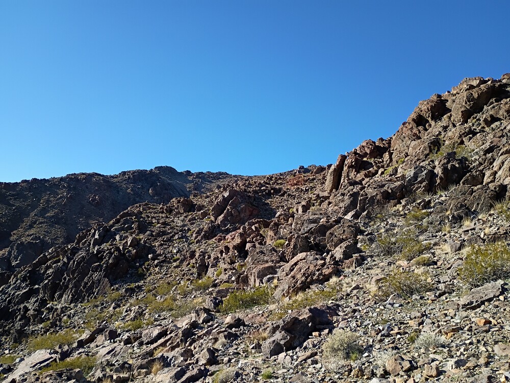
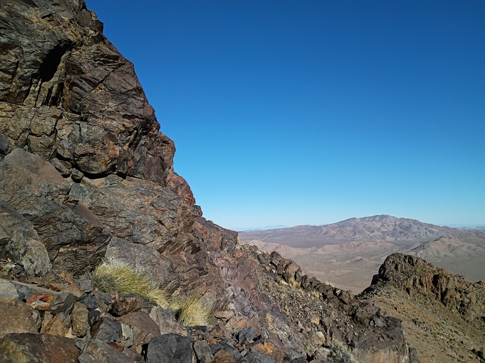
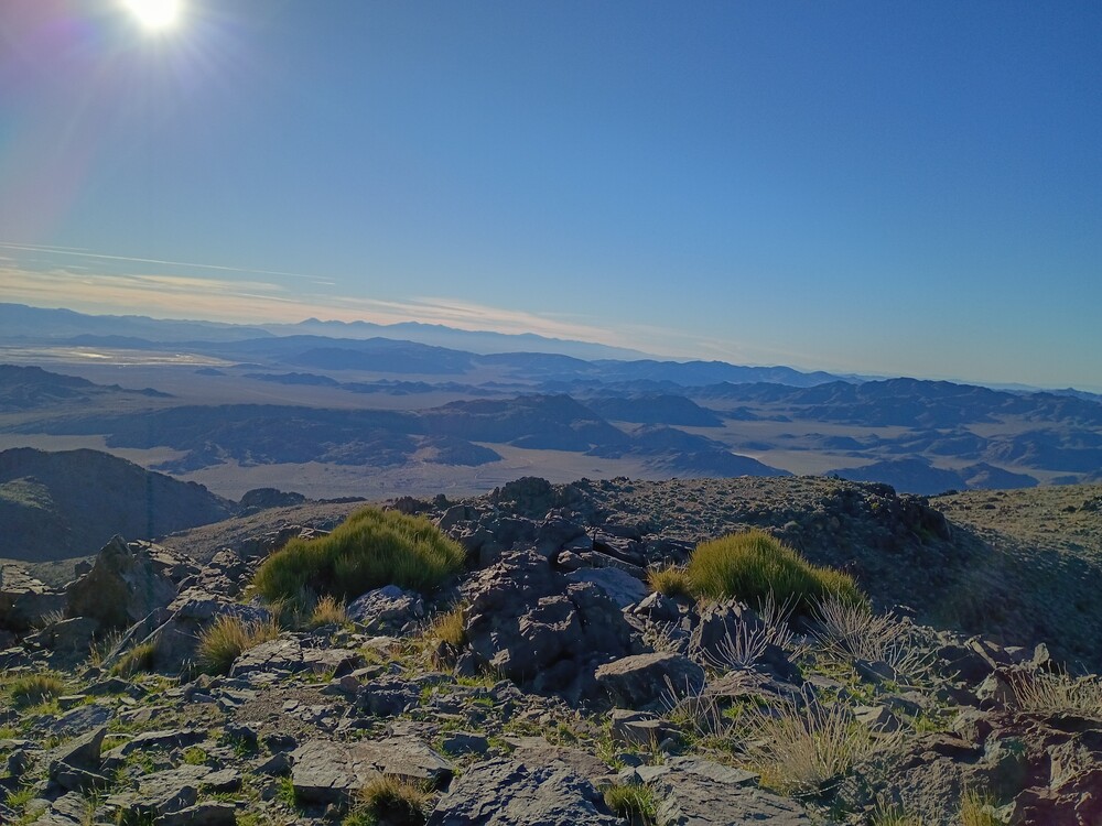
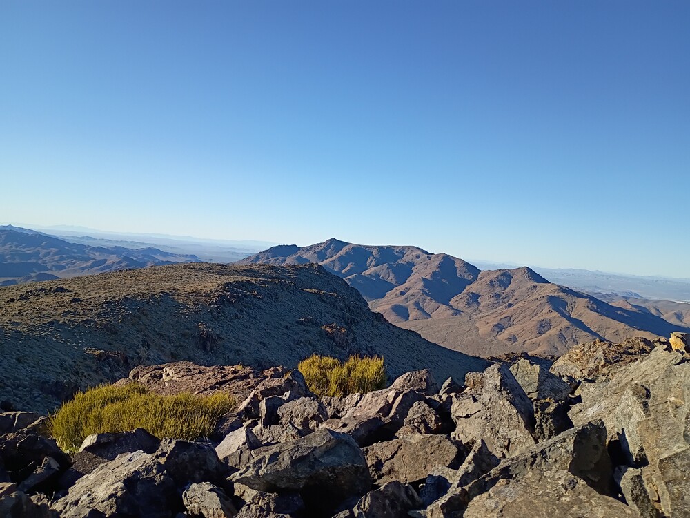
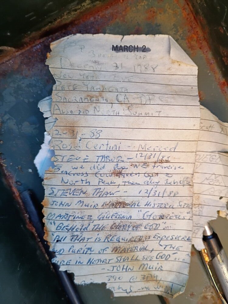
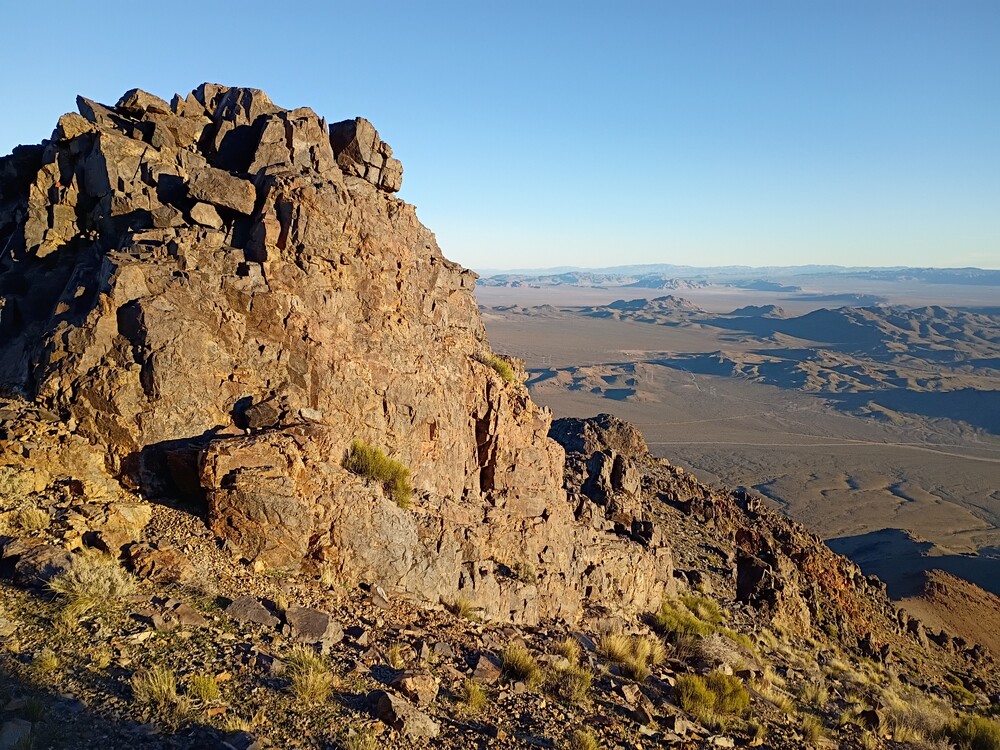
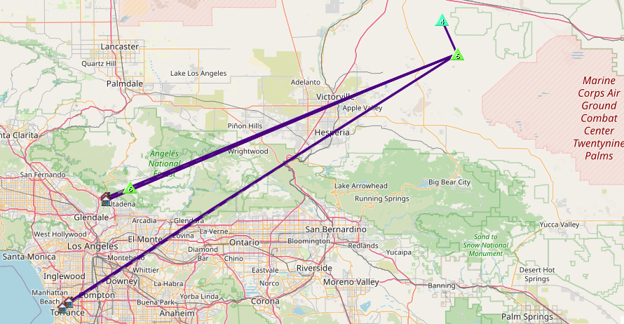
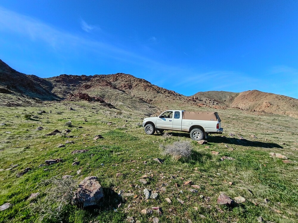
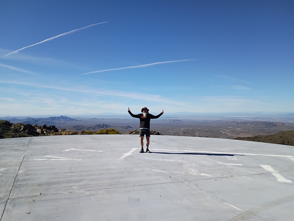
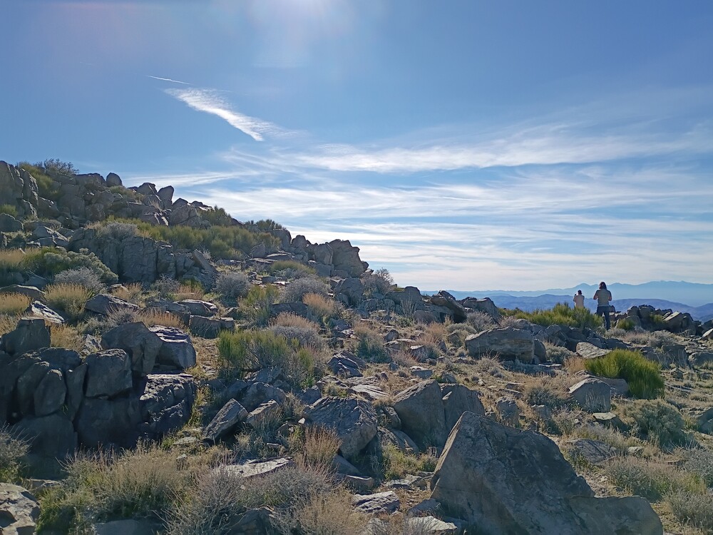
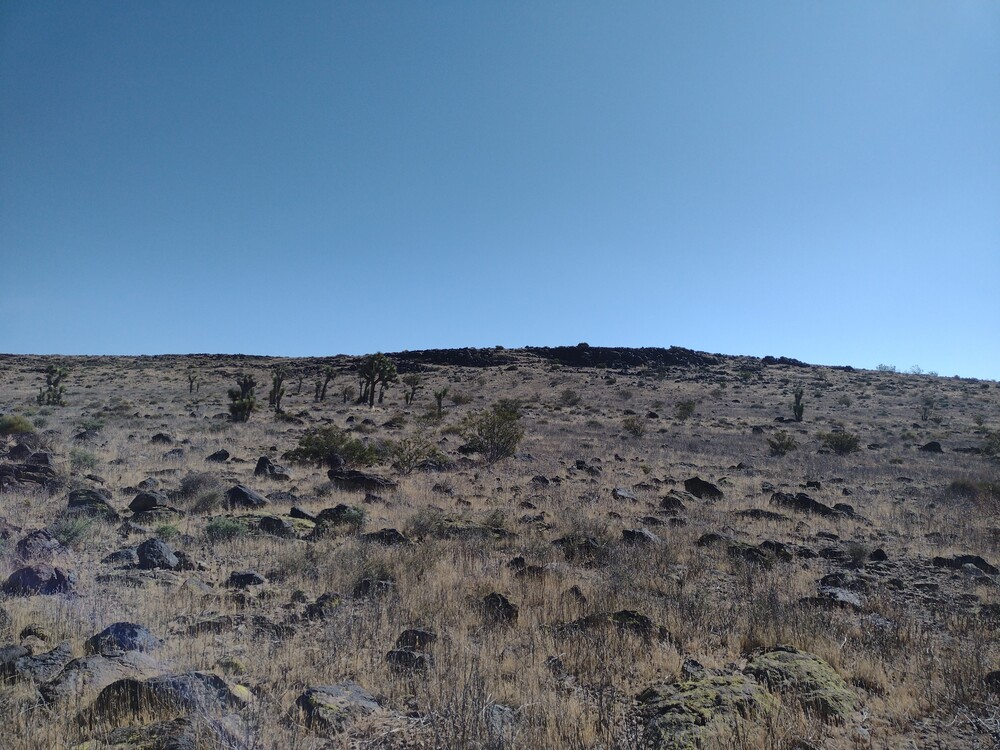
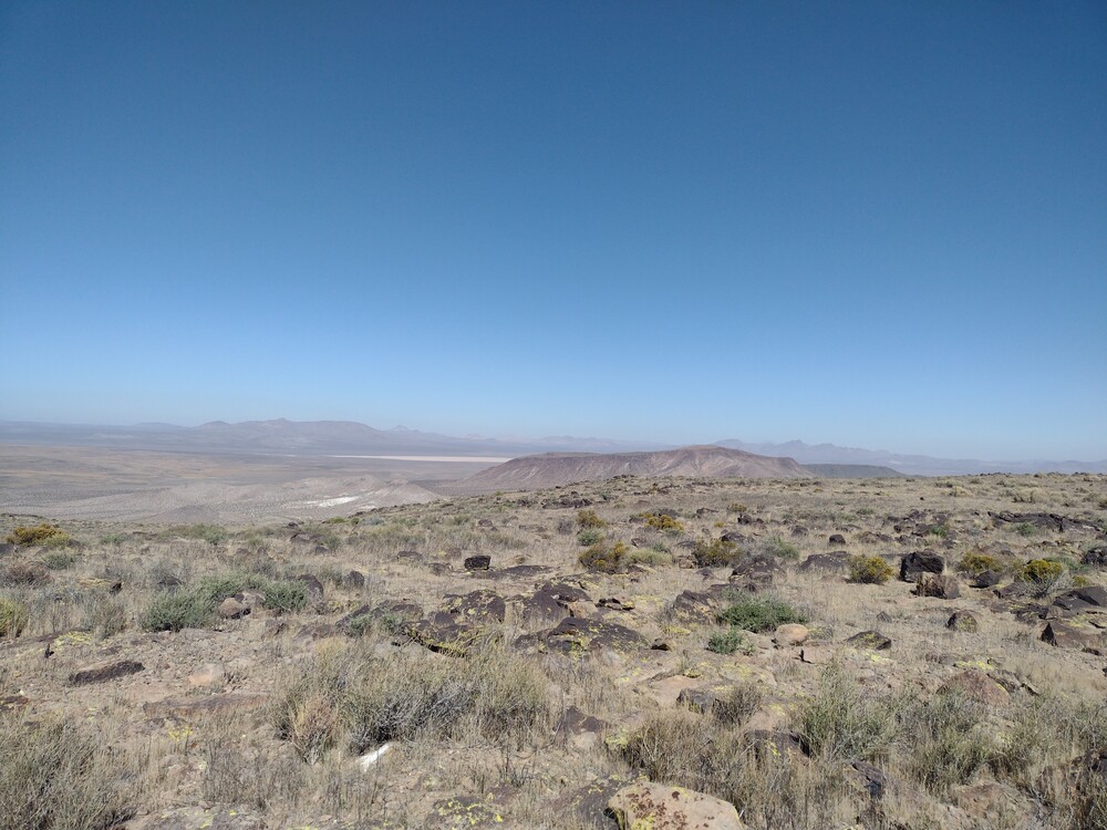
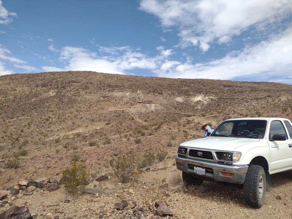
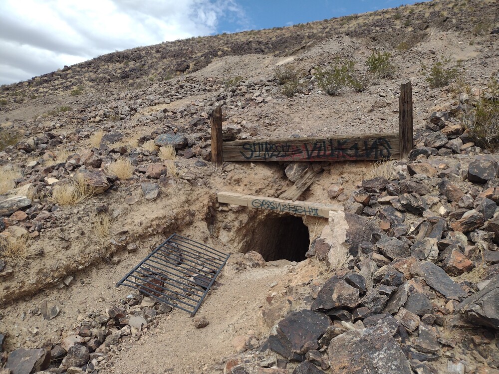
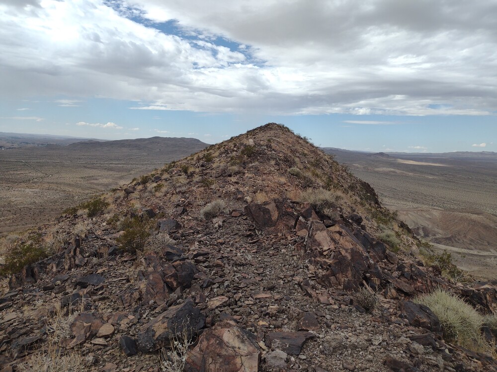
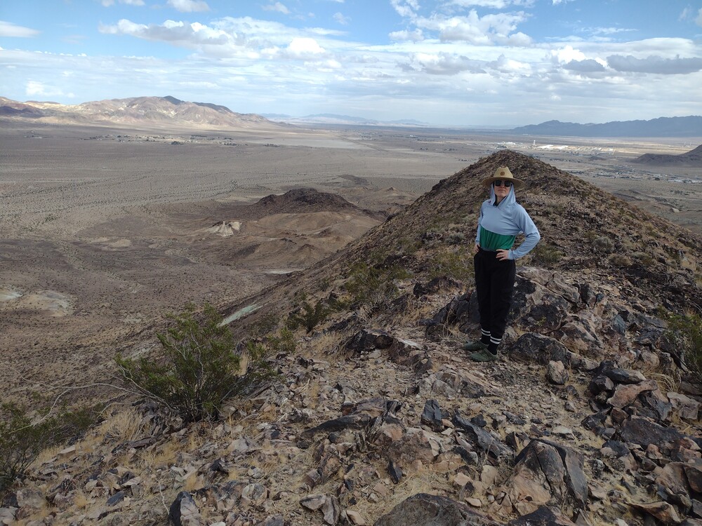
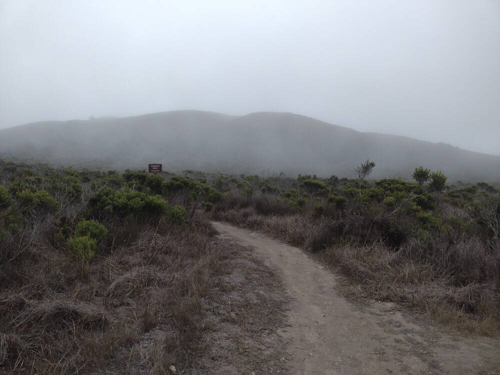
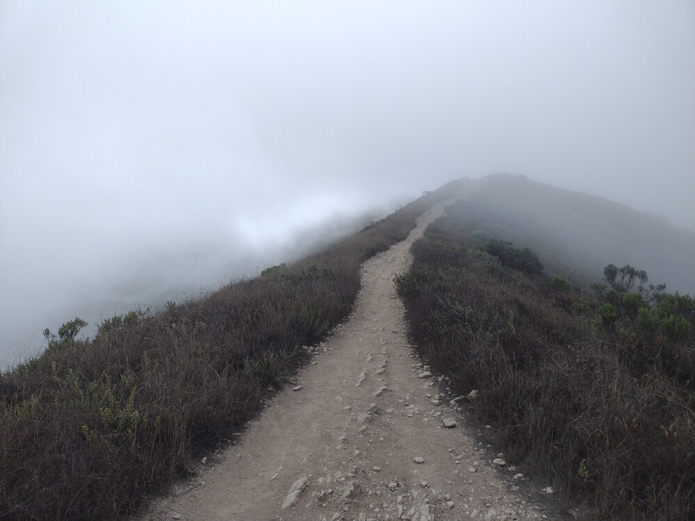
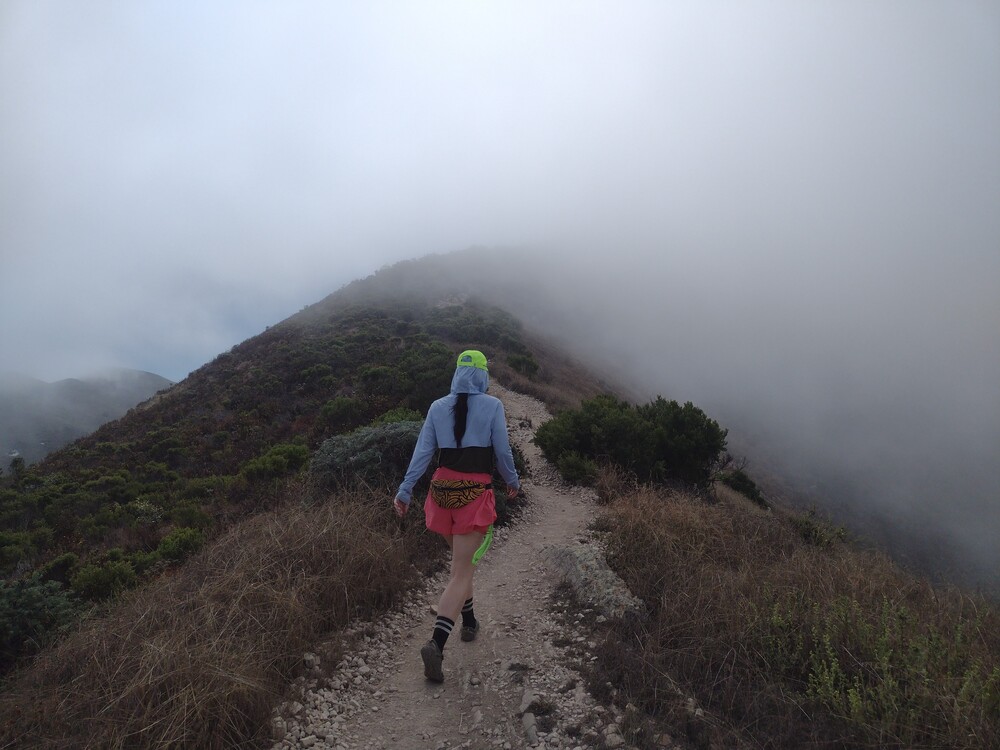
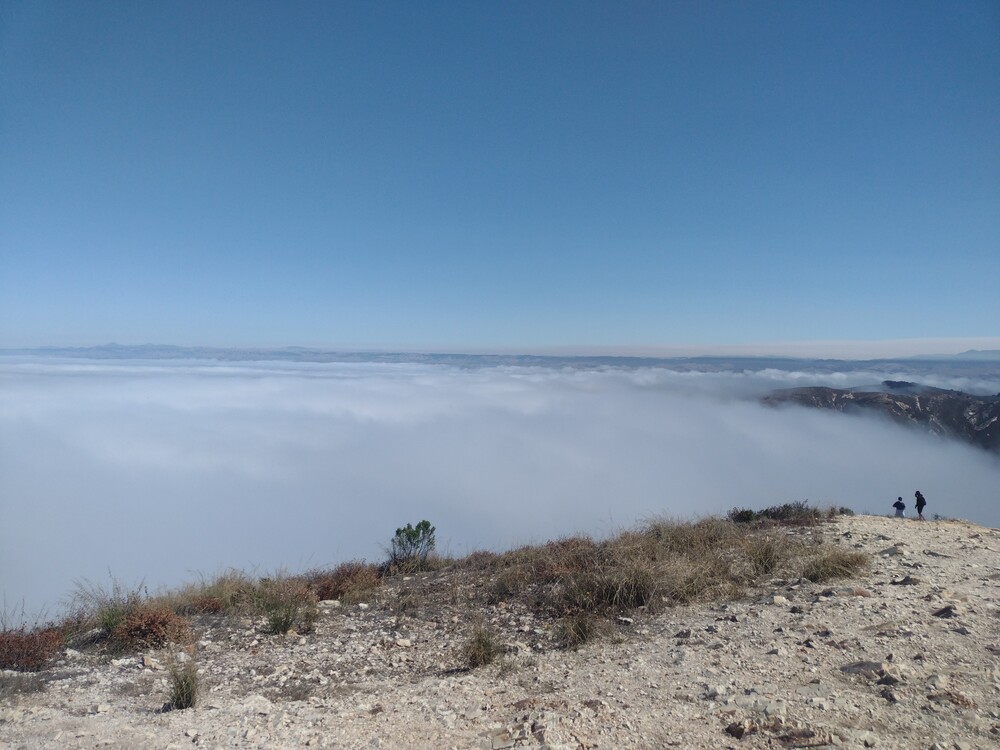
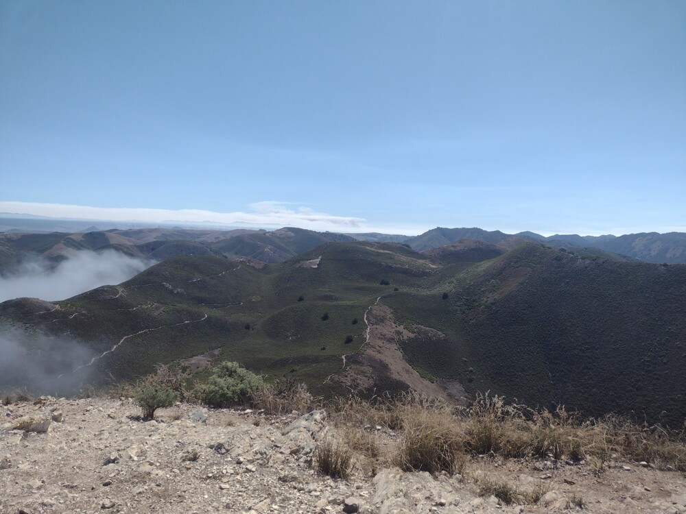
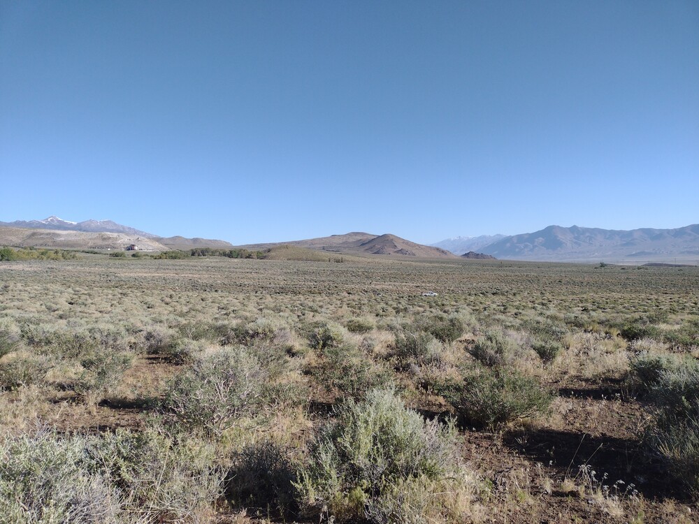
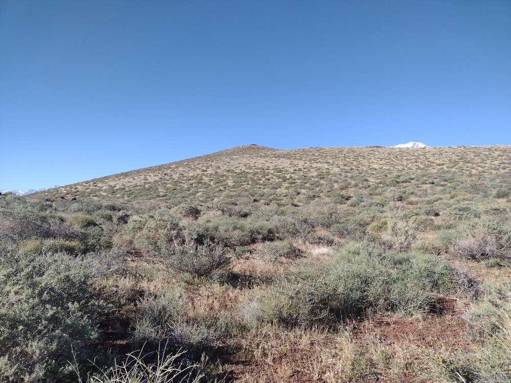
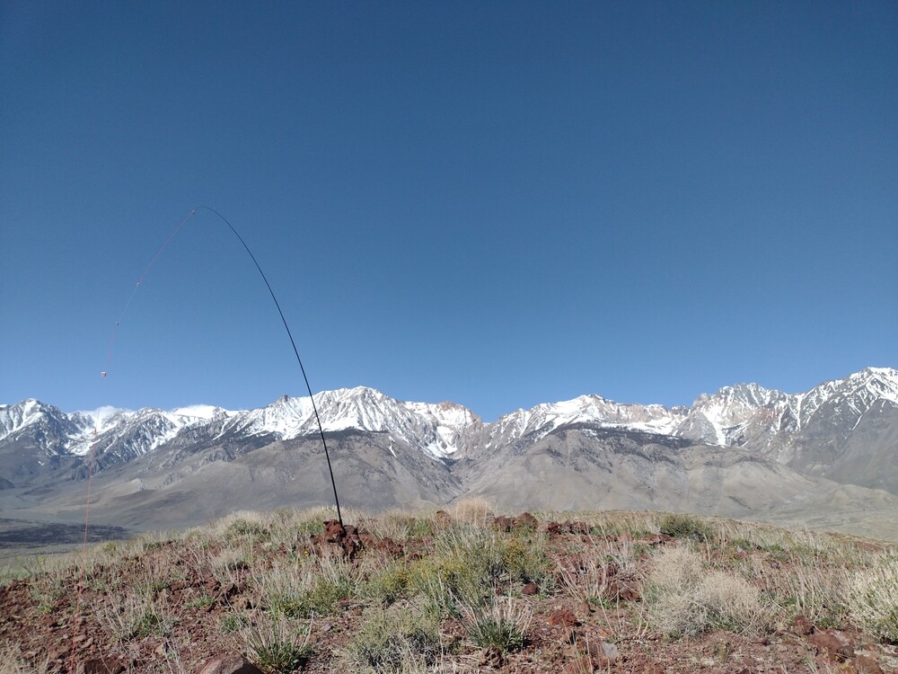
After making some coffee, Kel and I left our accommodations in Iron Horse and headed out to Saguaro National Park West to hike Safford Peak. This is also qualifies for POTA US-0060. We started at a popular trailhead at the end of North Scenic Drive, slathered on some sunscreen and got on our way. The trail is well defined and starts gaining elevation quickly, weaving through the beautiful landscape of the Sonoran Desert. The trail eventually becomes a class 2 scramble to reach the summit. At the top is a register and plenty of options to plant a mast. Using a KH1 transceiver with the internal whip on 17M resulted in plenty of QSOs. I added a loading coil and picked up a few more on 40M. Tried 2M FM but didn’t have any takers. The hike down was the reverse of the accent, however, looking at a map post hike shows there could be an opportunity for a small loop through Sanctuary Cove? Overall, beautiful area, nice hike, great day to be out in the mountains. I’d do this one again.
https://sotl.as/summits/W7A/PE-088
Total climbing: 1600 ft
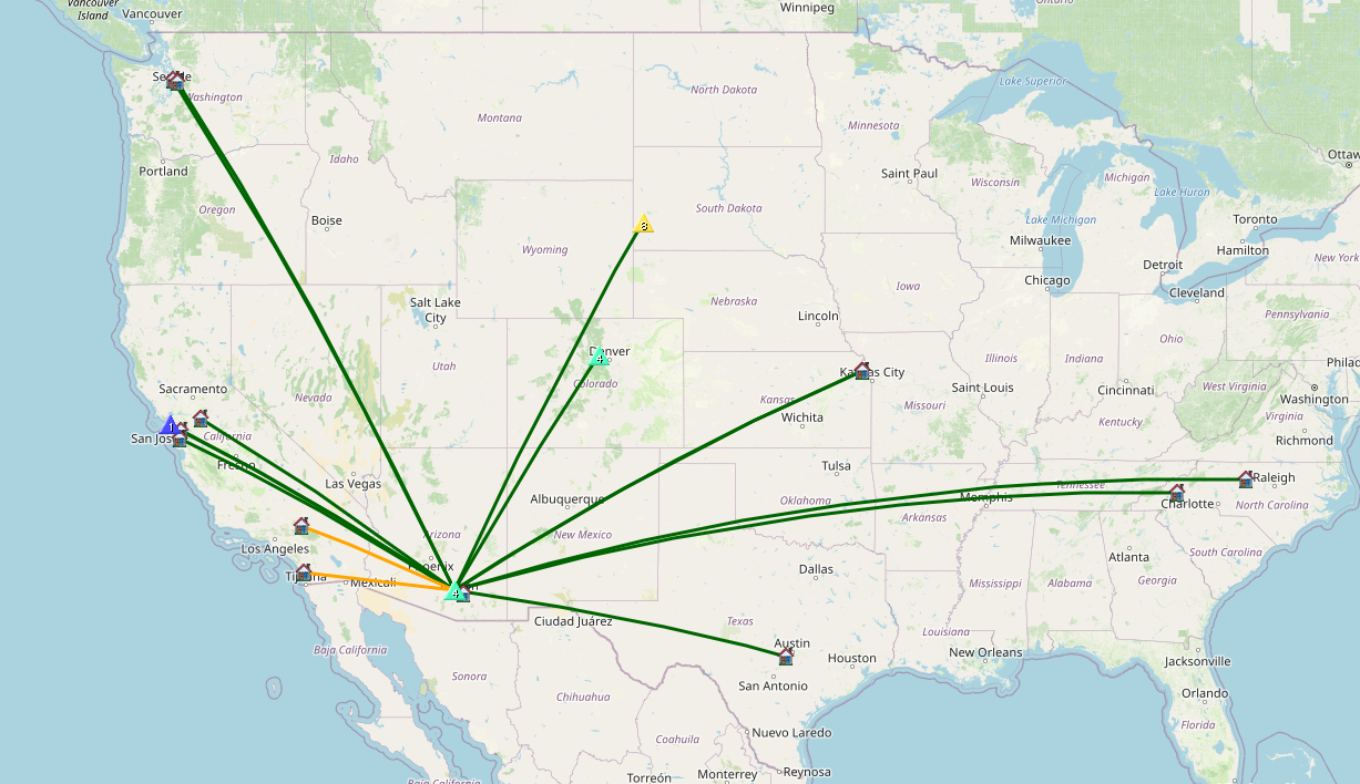
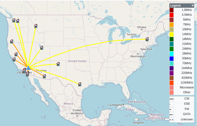
Date:06/02/2026 | Summit:W7A/PE-088 (Safford Peak)
| Time | Callsign | Band | Mode | Distance (km) | Notes |
|---|---|---|---|---|---|
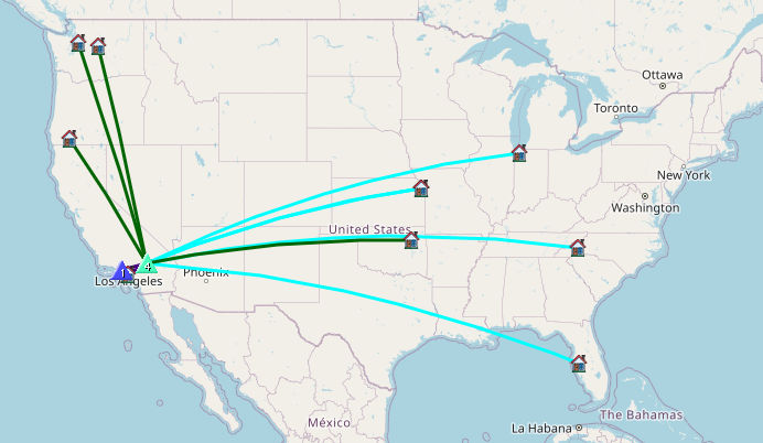
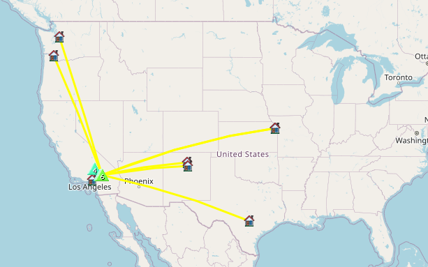
| 18:02 | NI0CK | 18MHz | CW | S599 R599 | |
| 18:04 | WF4I | 18MHz | CW | S44N R33N | |
| 18:04 | WB6POT | 18MHz | CW | S57N R55N | |
| 18:05 | W0MNA | 18MHz | CW | S599 R599 | |
| 18:07 | KX0R | 18MHz | CW | 981 | S2S W0C/SR-054 S55N R51N |
| 18:07 | W0ERI | 18MHz | CW | S599 R599 | |
| 18:09 | KT0A | 18MHz | CW | 1432 | S2S W0D/BB-037 S52N R53N |
| 18:10 | KN6OMN | 18MHz | CW | S52N R55N | |
| 18:10 | WW7D | 18MHz | CW | S55N R47N | |
| 18:12 | K6EL | 18MHz | CW | 1190 | S2S W6/NC-423 S52N R53N |
| 18:12 | AK5SD | 18MHz | CW | S57N R51N | |
| 18:13 | K6YK | 18MHz | CW | S599 R55N | |
| 18:14 | W0ODS | 18MHz | CW | S55N R56N | |
| 18:15 | WU7H | 18MHz | CW | S55N R54N | |
| 18:15 | N4TU | 18MHz | CW | S55N R42N | |
| 18:16 | W1UL | 18MHz | CW | S32N R22N | |
| 18:28 | N1CLC | 7MHz | CW | S599 R57N | |
| 18:31 | KN6EZE | 7MHz | CW | S33N R33N | |
| 18:33 | KR7RK | 7MHz | CW | S55N R52N |