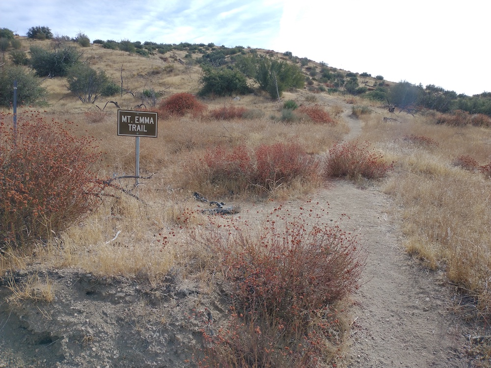
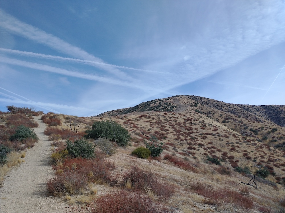
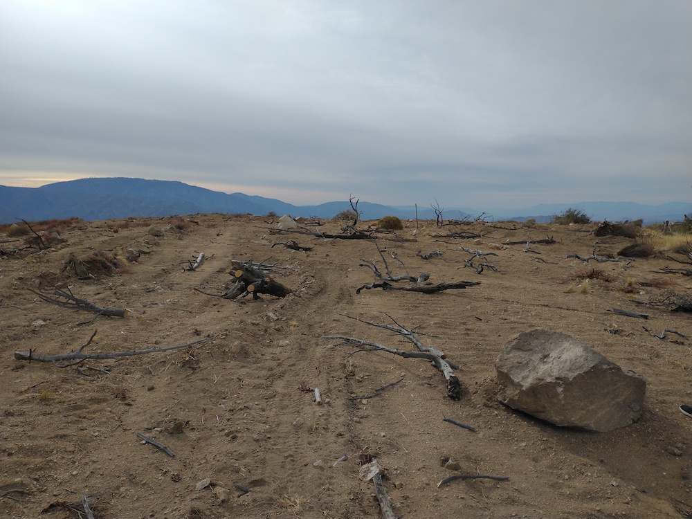
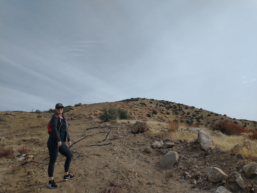
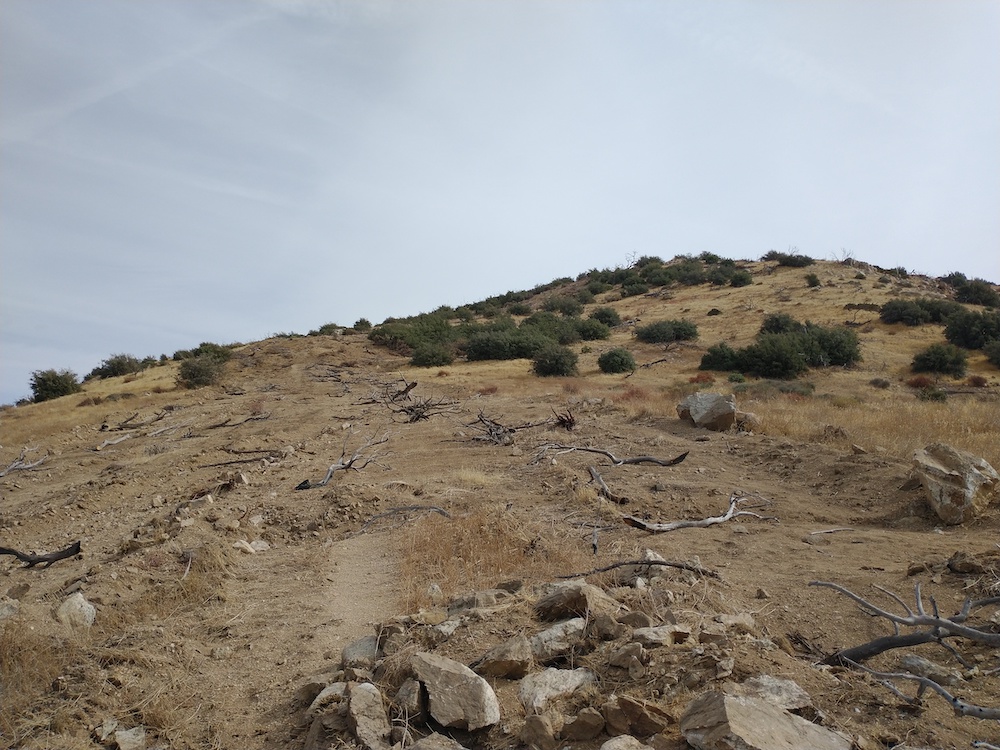
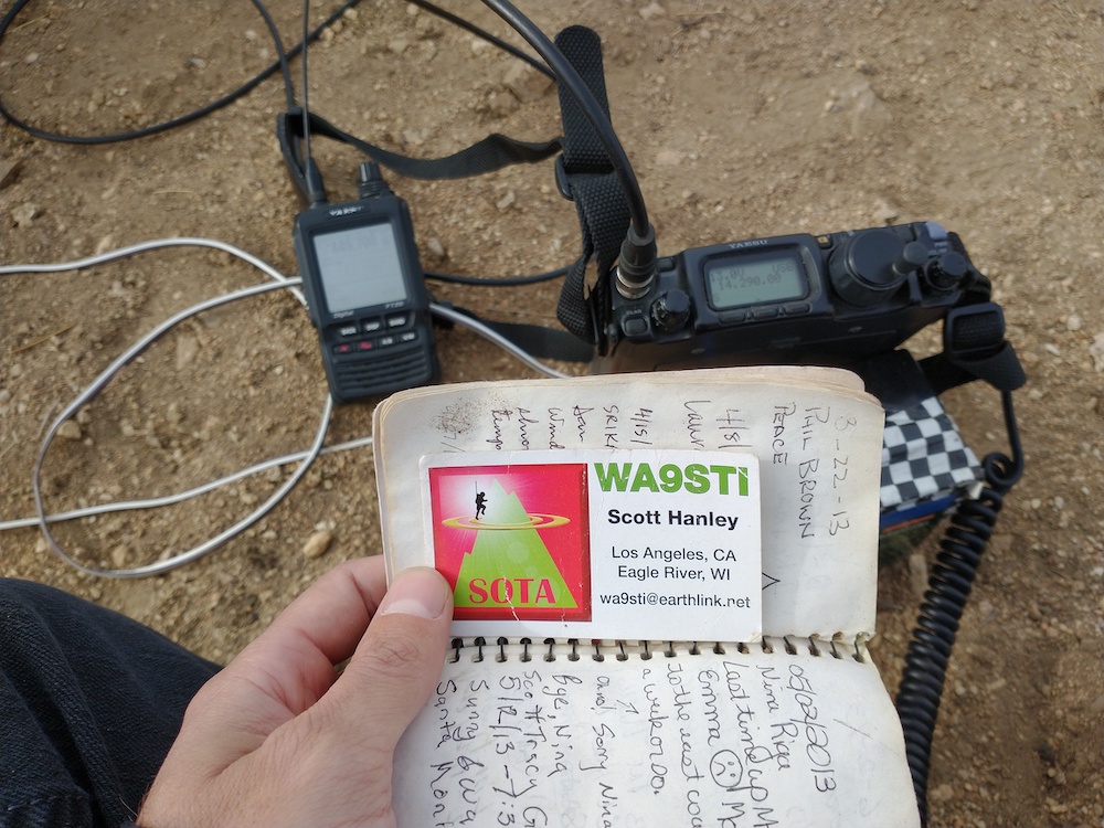
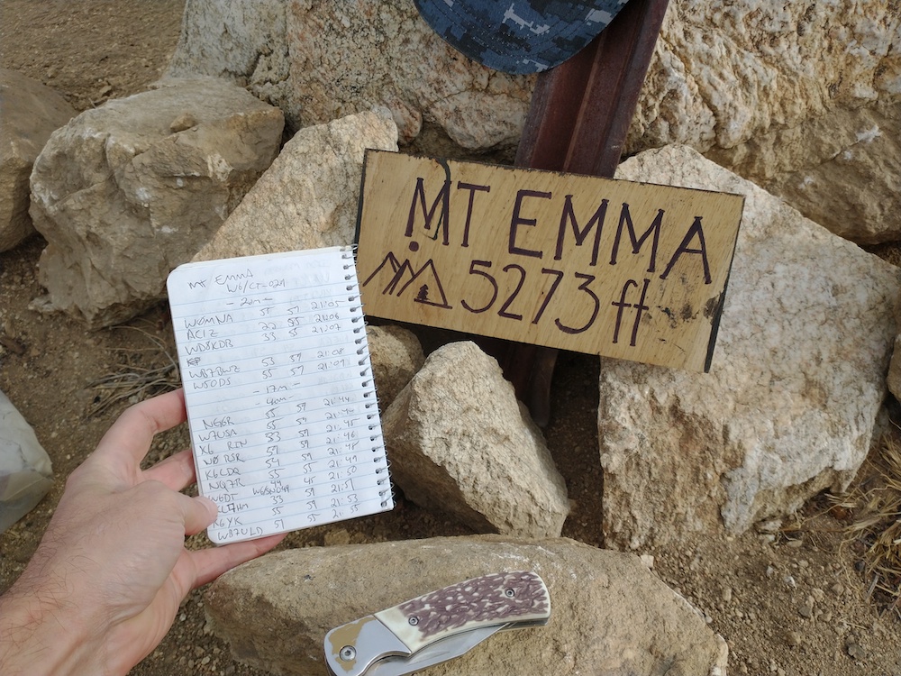
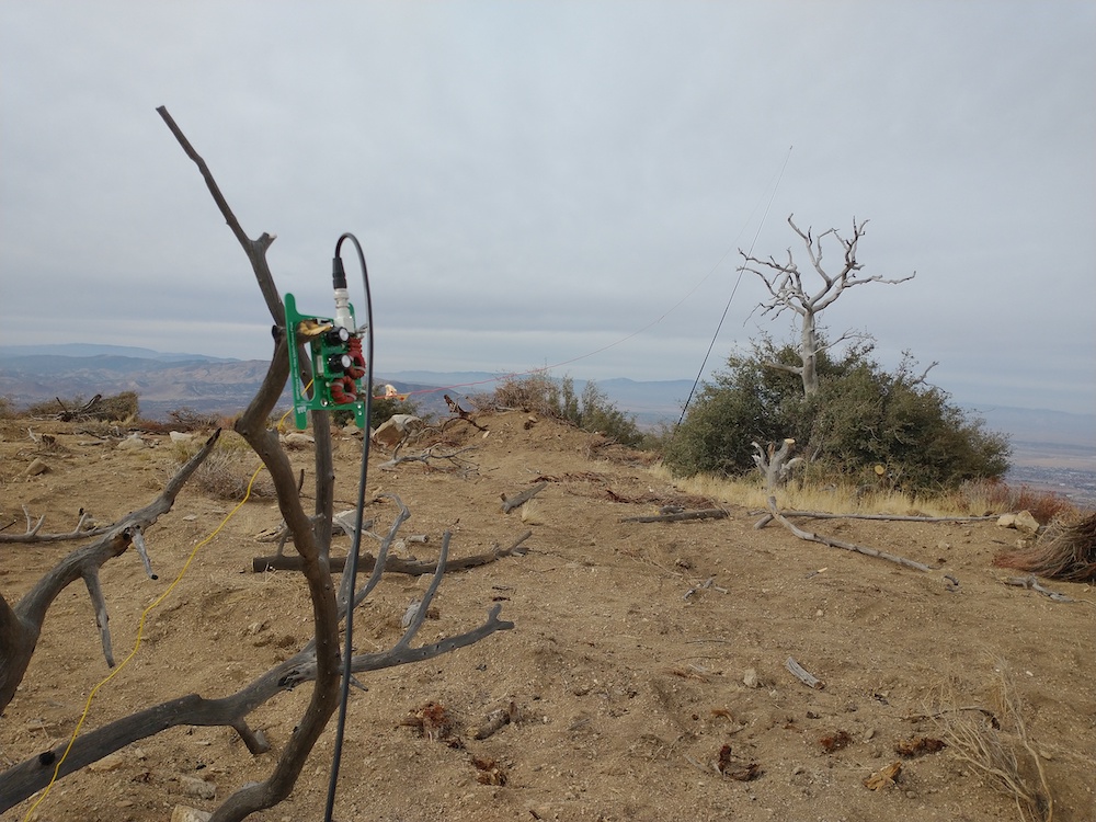
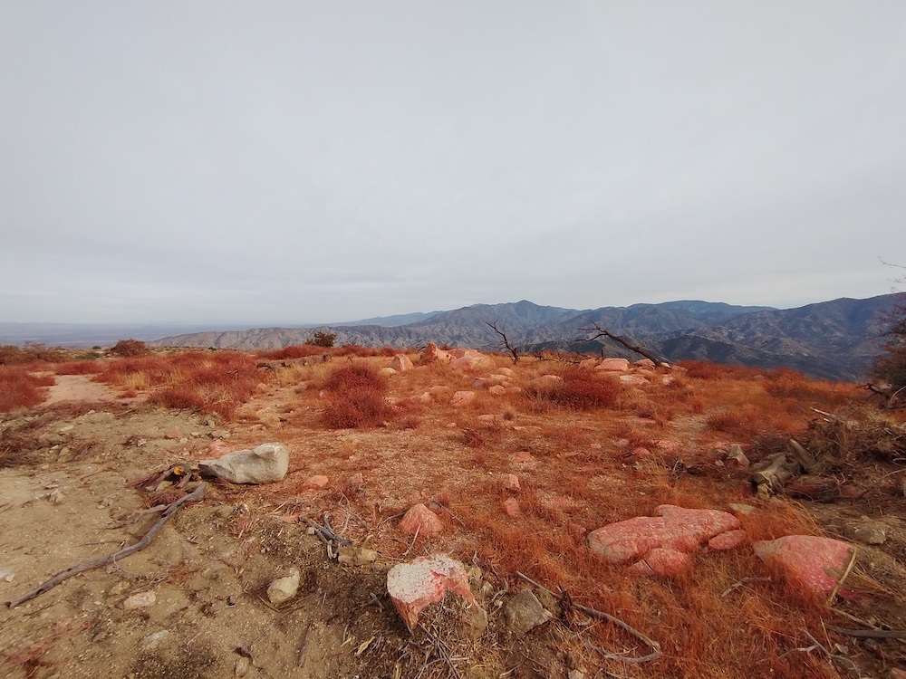
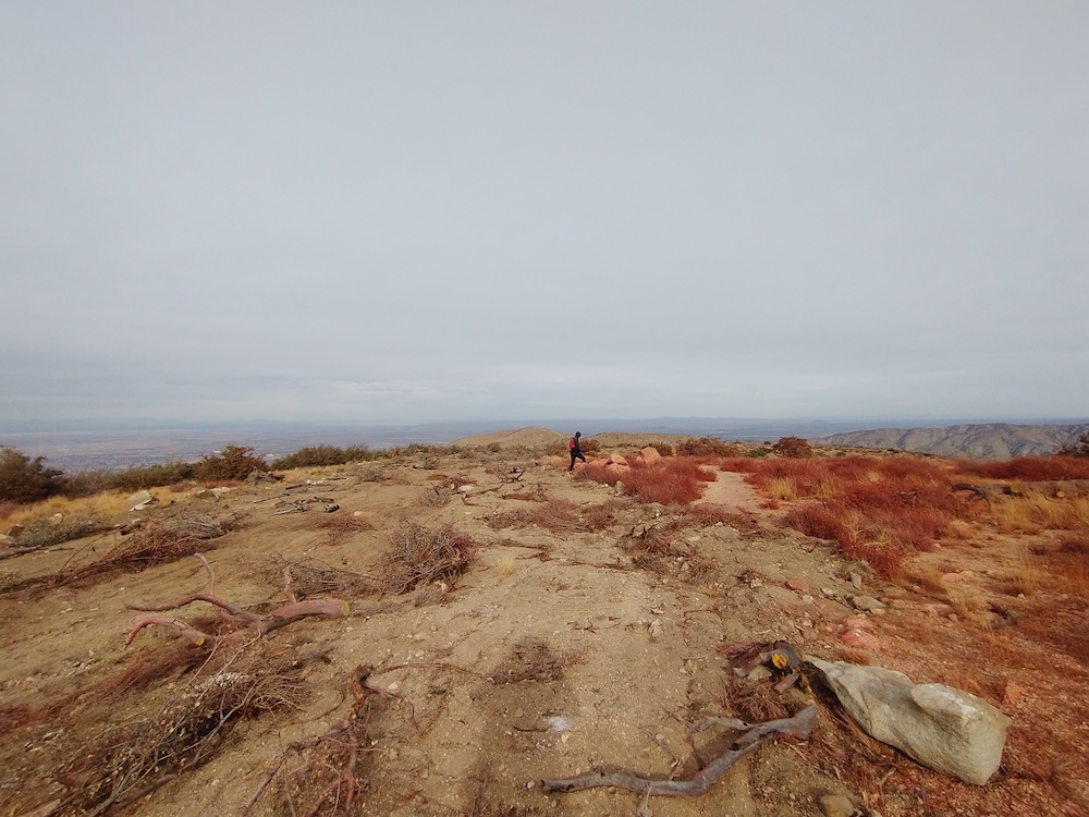
Mt. Emma had been on my radar for awhile, but the lower elevation and lack of shade pushed this down my list until cooler months arrived. My wife and I wanted to get out of the house, so this was a perfect spontaneous activity on a cool November day. Start on Mt. Emma road – there is a small parking area directly across from the trailhead, and a small sign lets you know you’re at the right place. At first the trail winds through chaparral up the first hill. After about 10 minutes of hiking, you will discover the trail was replaced with a recent fire break, most likely in response to the Bobcat Fire. Follow the fire break all the way up to the summit. It’s quite steep, my GPS reported a 15% ~ 30% grade. At the top, I found the summit marker, but no benchmark. Maybe it was destroyed by a land clearing machine? I also observed red fire retardant on the ground, the kind dropped form aircraft. Interestingly, it appeared that this was dropped before the land was cleared. I setup a long wire antenna into my Yaesu 817, self spotted via APRS. Made a few contacts on 20M, tried 17M with no luck, then moved to 40M and made several more with one summit to summit. I look forward to activating this again in a years time to see how the plants recover. Maybe I should plant a native tree up there?
https://sotl.as/summits/W6/CT-029
Total climbing: 1057 ft
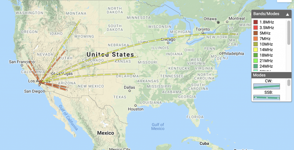
Date:20/11/2020 | Summit:W6/CT-029 (Mount Emma)
| Time | Callsign | Band | Mode | Notes |
|---|---|---|---|---|
| 21:05 | W0MNA | 14MHz | SSB | 55 59 |
| 21:06 | AC1Z | 14MHz | SSB | 22 55 |
| 21:07 | KD8KDB | 14MHz | SSB | 22 55 |
| 21:08 | WB7BWZ | 14MHz | SSB | 53 59 |
| 21:09 | W5ODS | 14MHz | SSB | 55 59 |
| 21:44 | NG6R | 7MHz | SSB | 55 59 |
| 21:44 | W7USA | 7MHz | SSB | 55 59 |
| 21:45 | K6RIN | 7MHz | SSB | 33 59 |
| 21:46 | N0RSR | 7MHz | SSB | 59 59 |
| 21:48 | K6LDQ | 7MHz | SSB | 54 59 |
| 21:49 | NQ7R | 7MHz | SSB | 55 55 |
| 21:50 | W6DT | 7MHz | SSB | 44 45 S2S W6/SN-049 |
| 21:51 | KL7HM | 7MHz | SSB | 33 59 |
| 21:53 | K6YK | 7MHz | SSB | 55 59 |
| 21:55 | WB7ULD | 7MHz | SSB | 51 55 |
