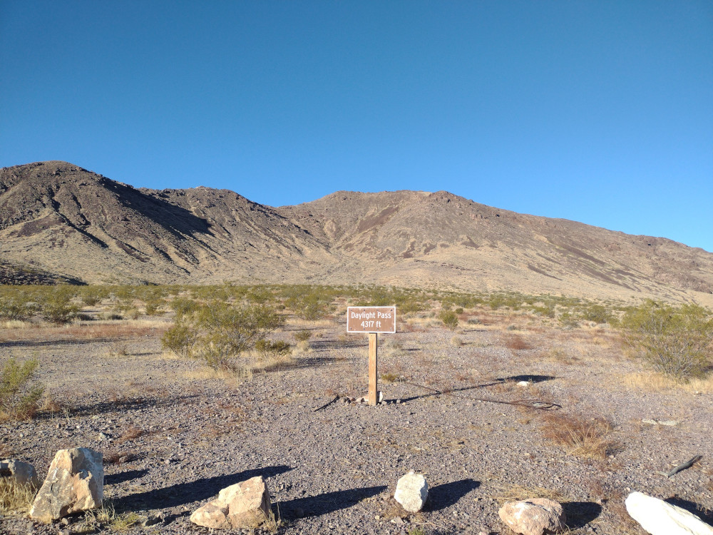
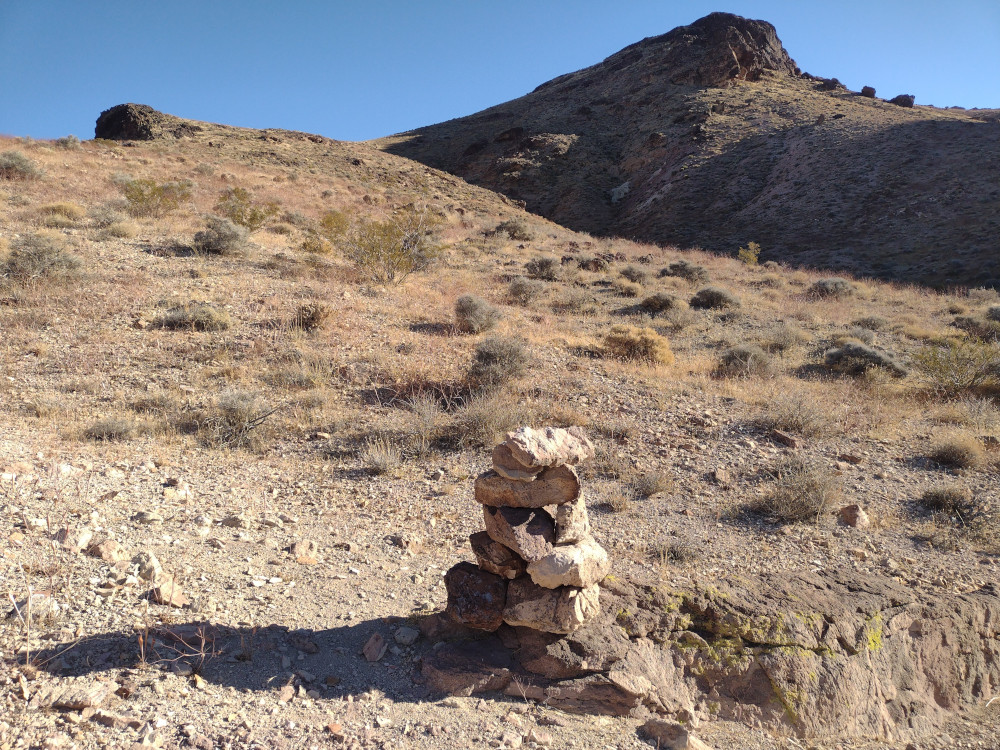
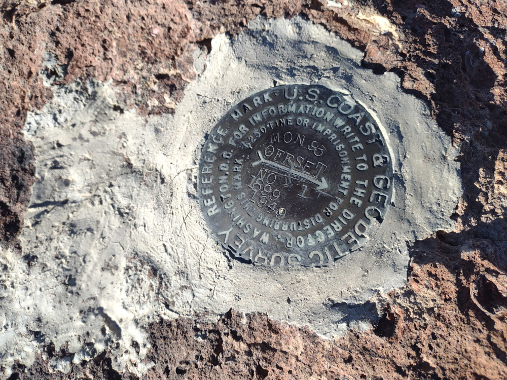
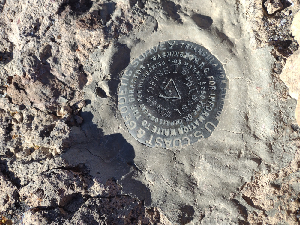
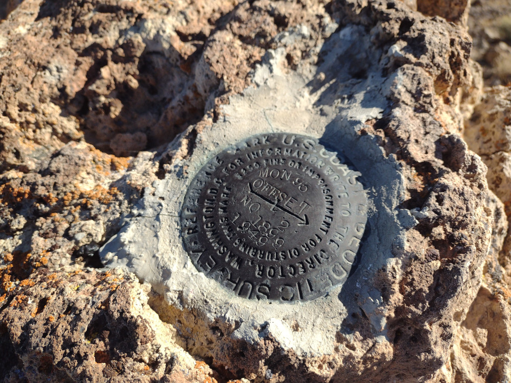
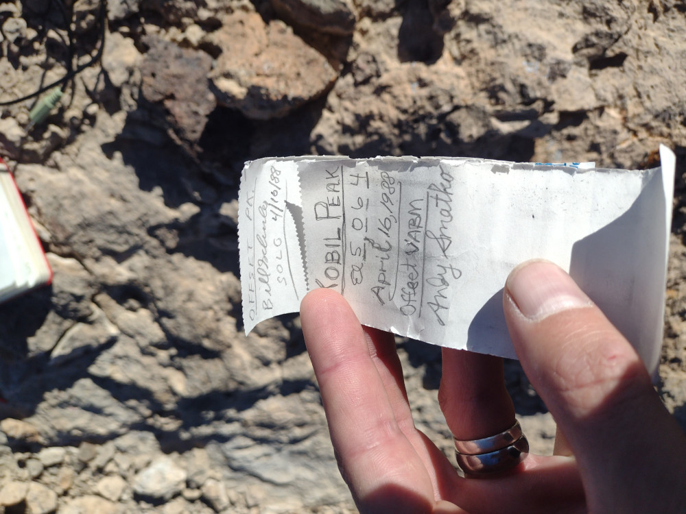
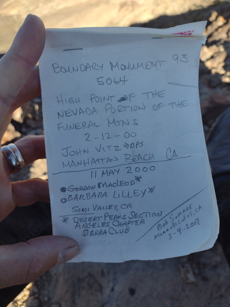
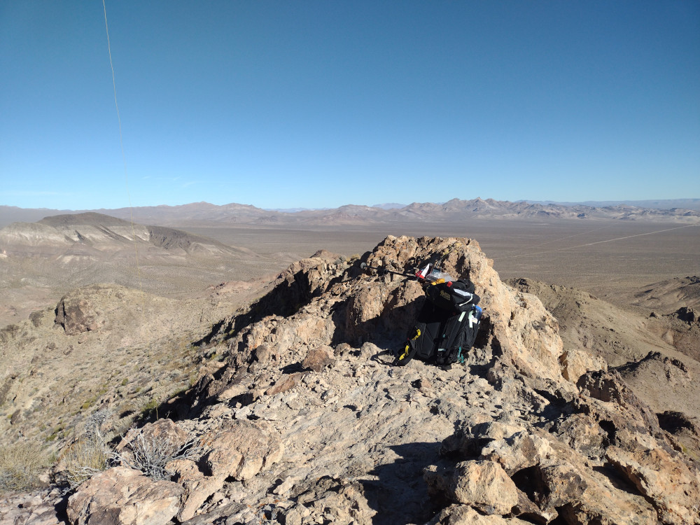
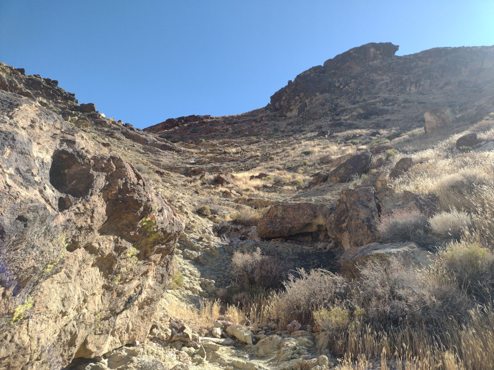
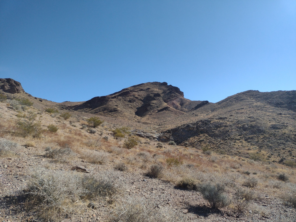
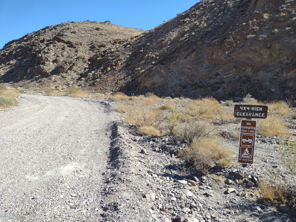
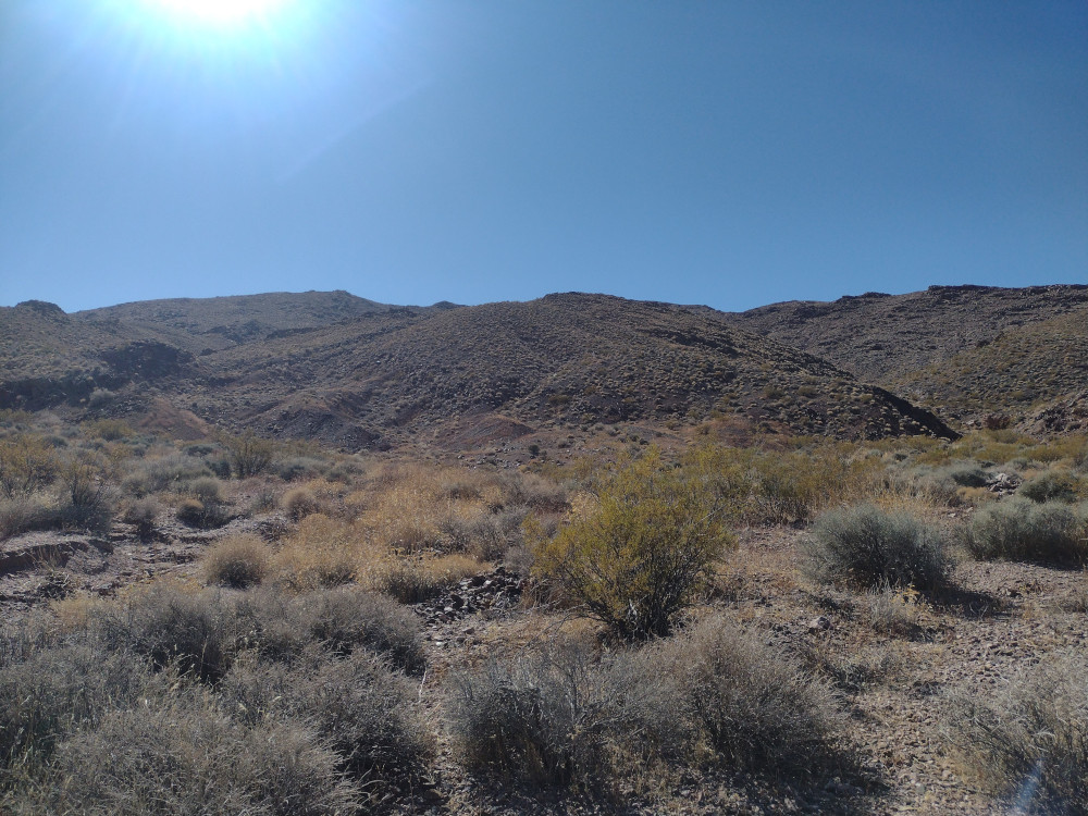
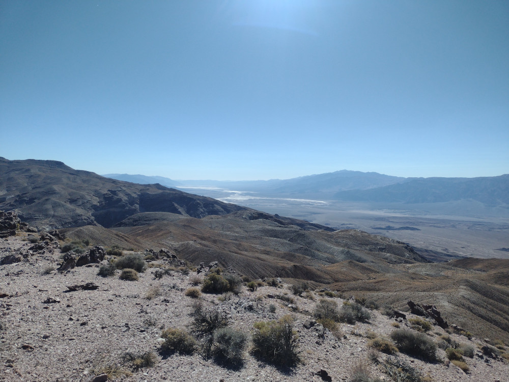
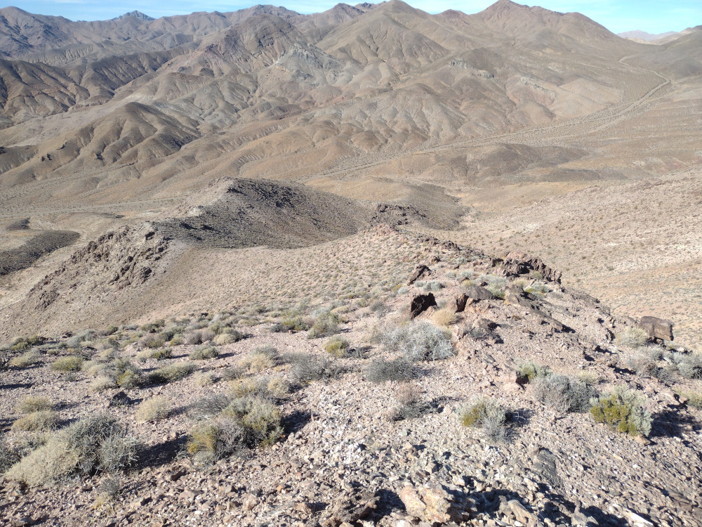
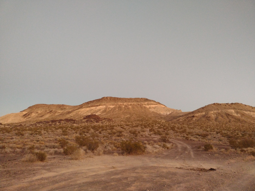
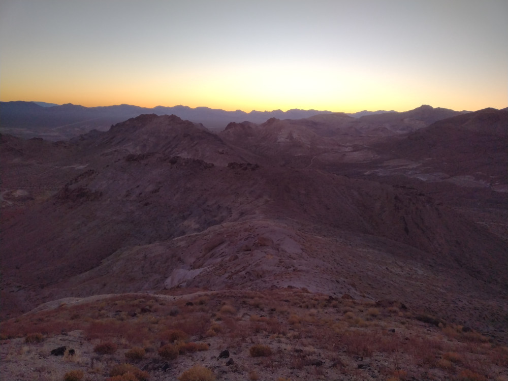
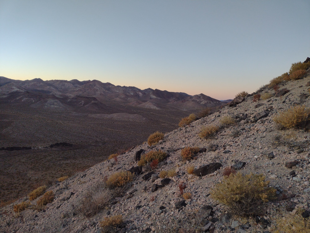
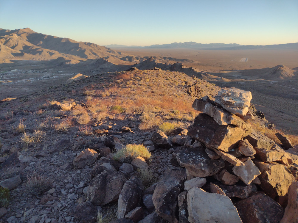
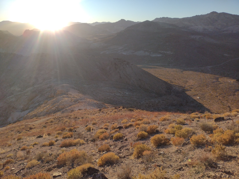
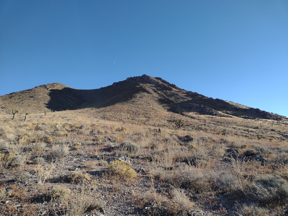
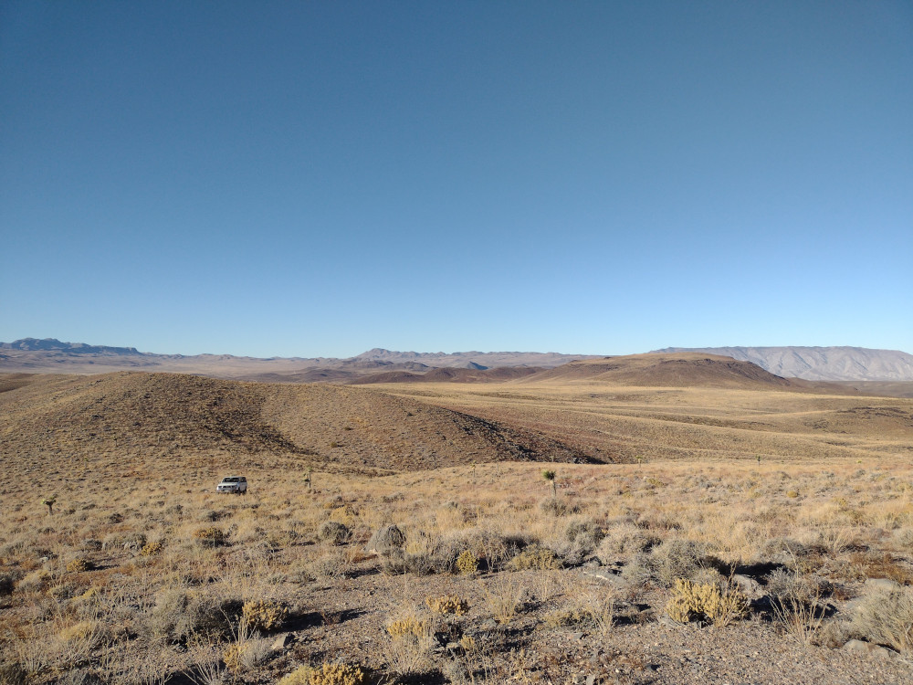
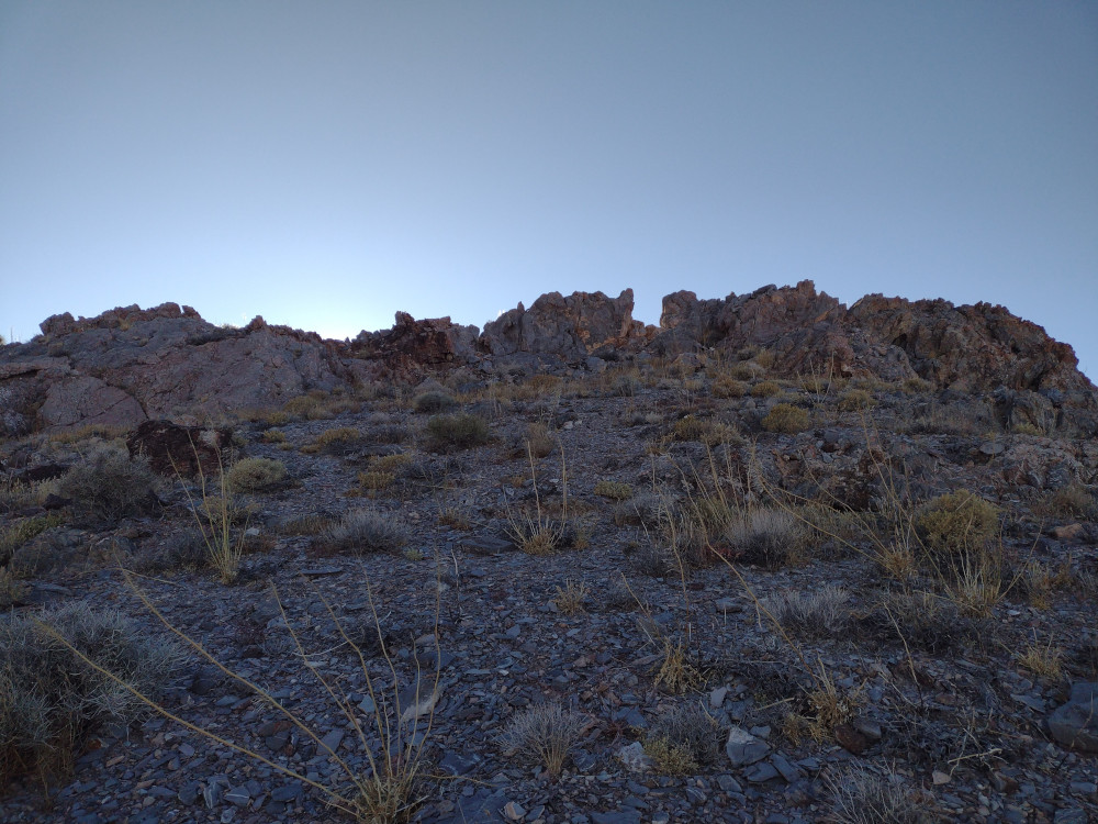
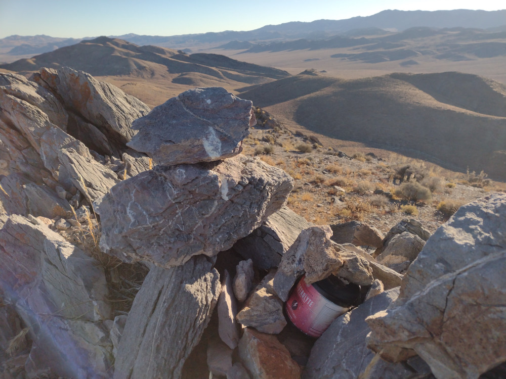
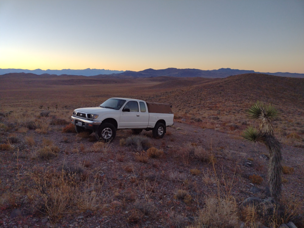
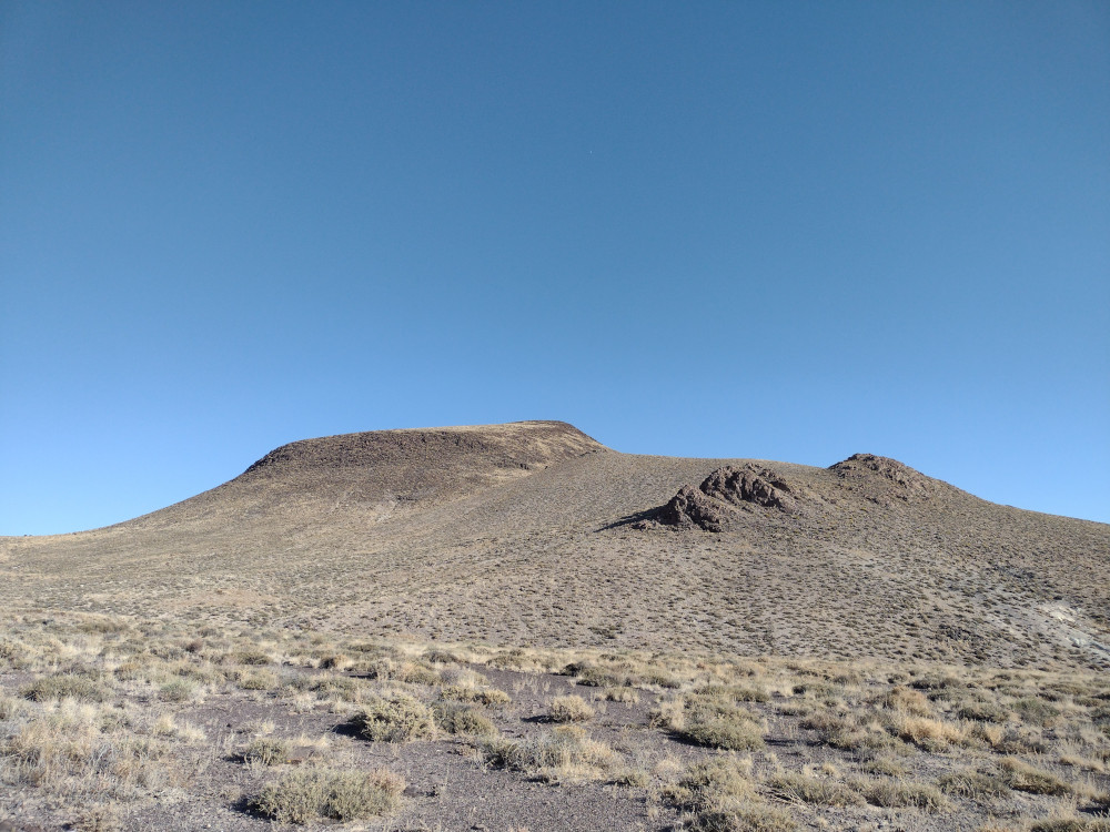
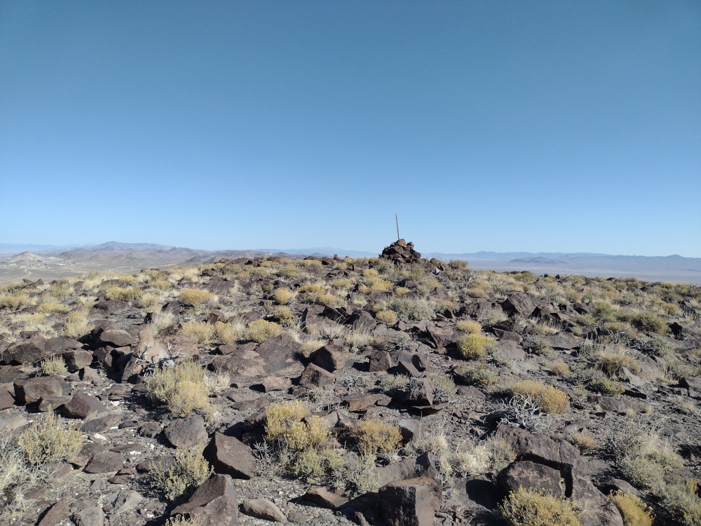
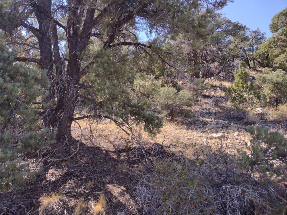
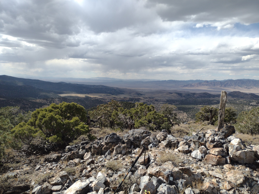
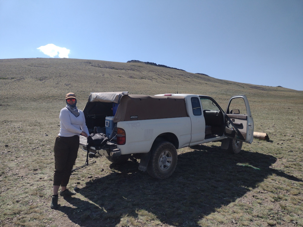
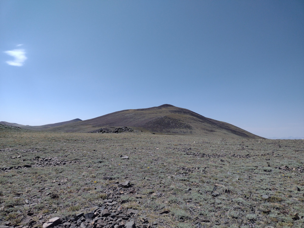
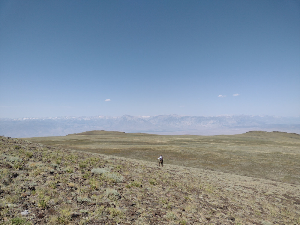
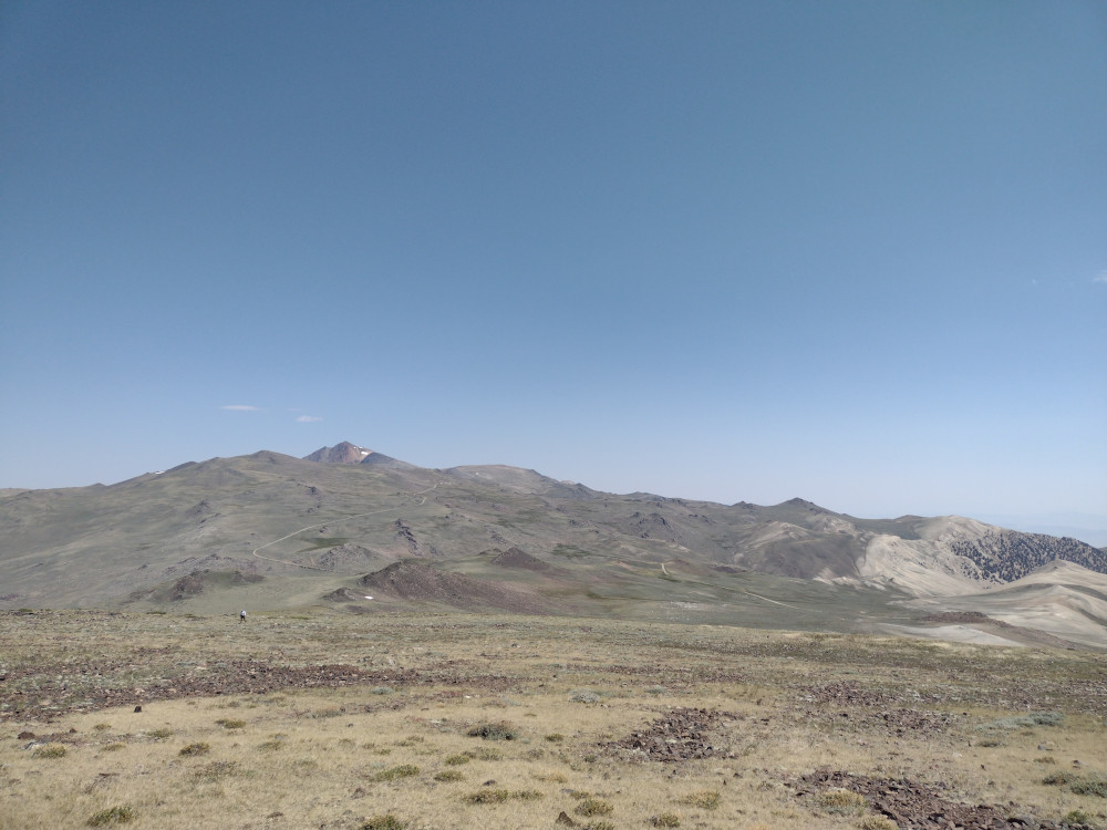
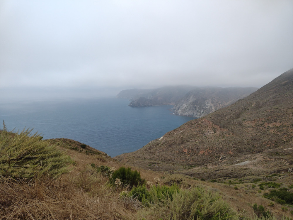
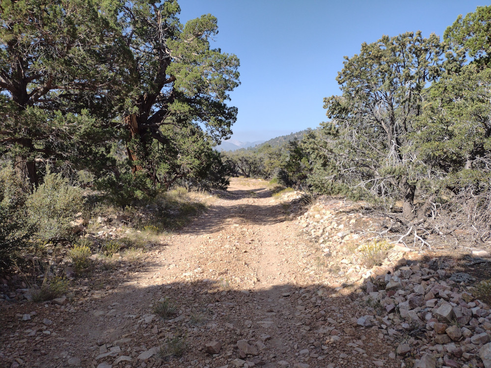
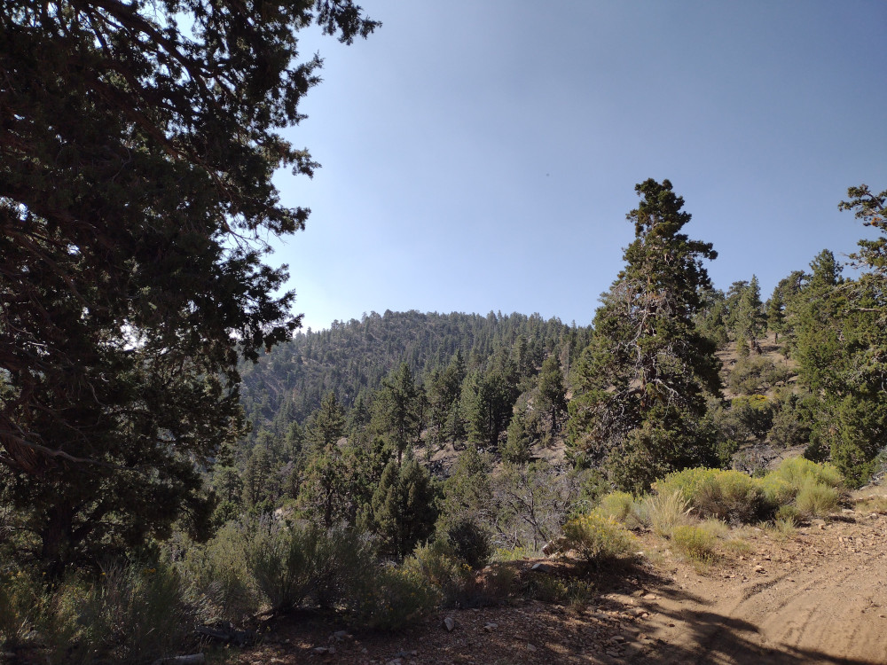
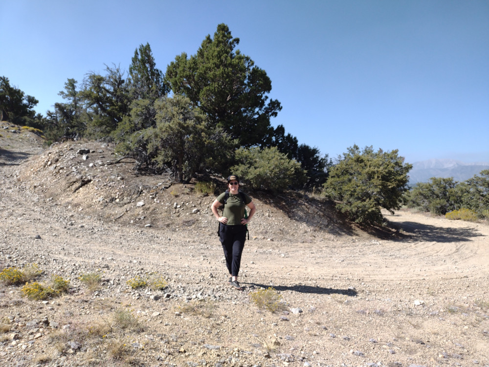
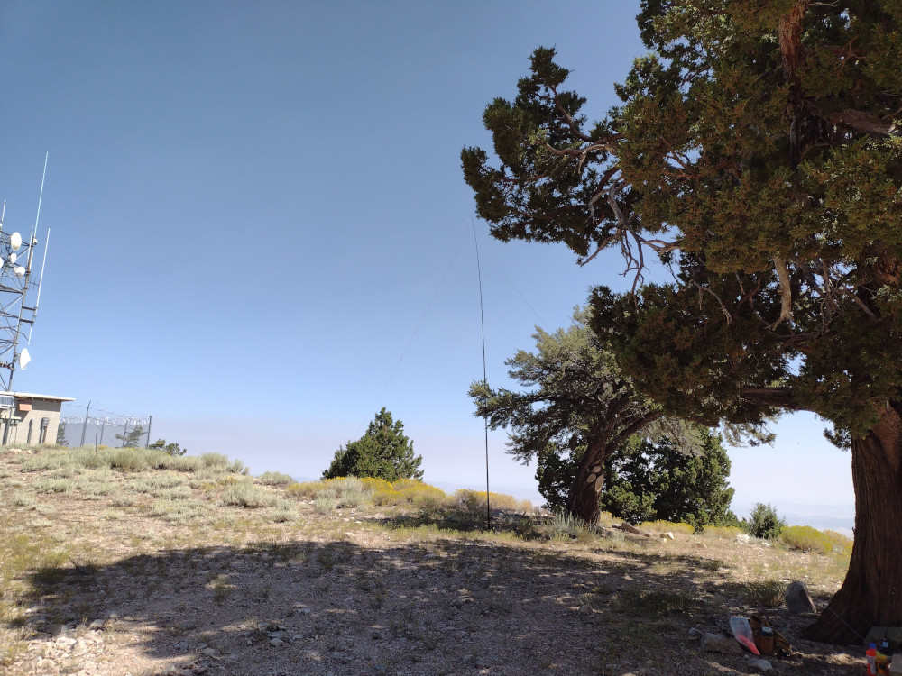
This summit is in Death Valley National Park, and as the name suggests, on the border of Nevada and California. I parked at a large gravel area off Daylight Pass Road, crossed the pavement and began my hike to the summit, weaving around various obstacles on the way. There is no use trail, but several rock cairns along the way helped guide my path. The landscape is ‘lumpy’, and I wasn’t sure exactly where the summit was; a topo map on my phone was heavily used to ensure I was chasing the right mountain. Once at the top I found a register and three benchmarks. I signed the log and setup a Yaesu 817 with a 10M EFHW antenna. Worked several stations, packed up my kit, then headed back the way I came.
https://sotl.as/summits/W7N/NS-196
Total climbing: 1218 ft
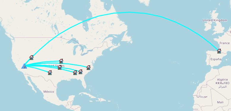
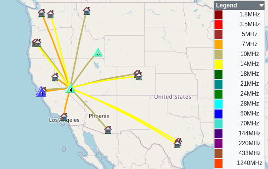
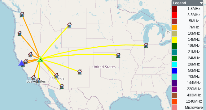
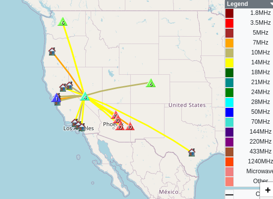
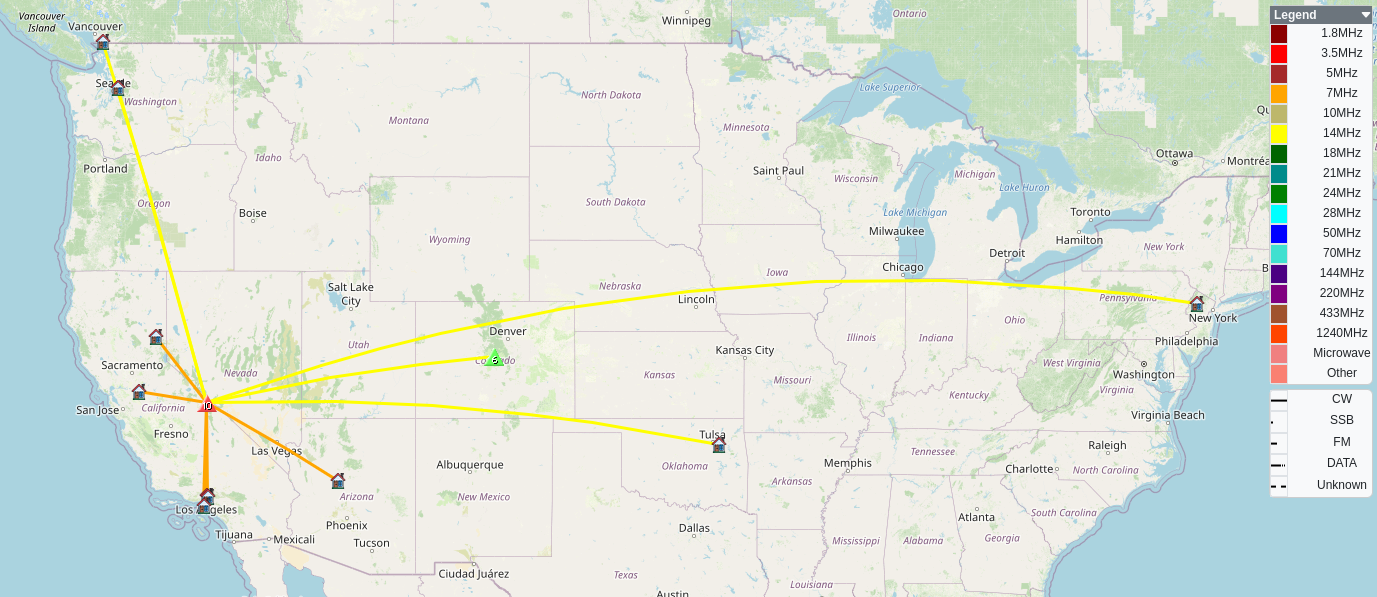
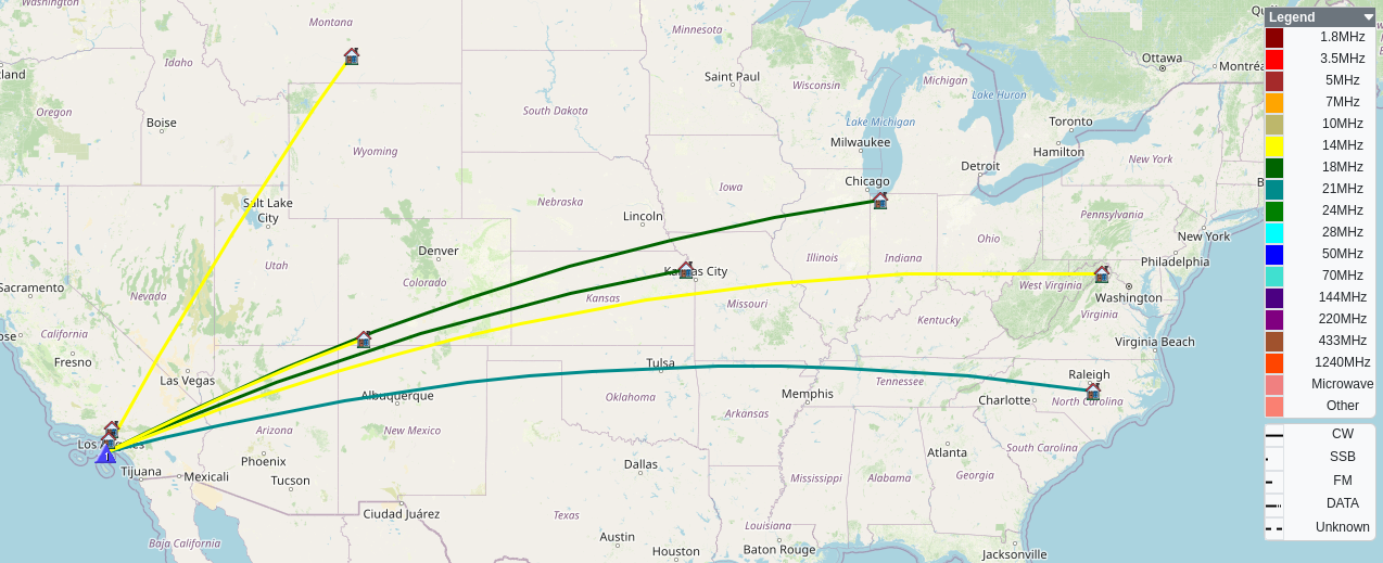
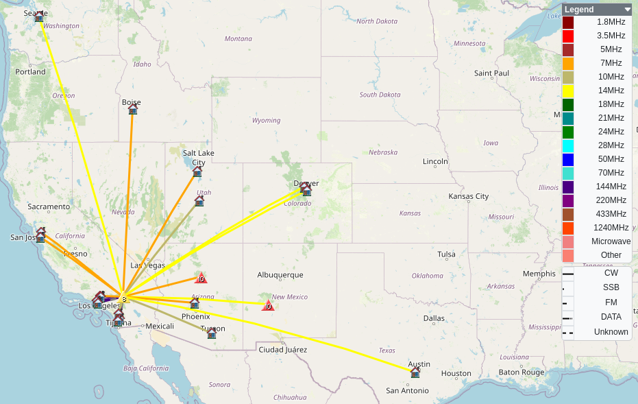
Date:09/11/2024 | Summit:W7N/NS-196 (CA/NV Boundary Monument 93)
| Time | Callsign | Band | Mode | Notes |
|---|---|---|---|---|
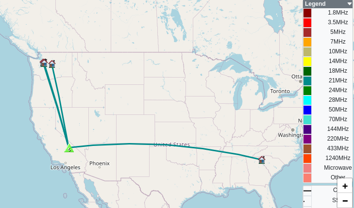
| 17:03 | AA4AI | 28MHz | CW | S58N R42N |
| 17:05 | WN4AT | 28MHz | CW | S57N R55N |
| 17:06 | K9WO | 28MHz | CW | S58N R55N |
| 17:07 | WY7N | 28MHz | CW | S57N R53N |
| 17:09 | F4WBN | 28MHz | CW | S33N R599 |
| 17:10 | KV4AN | 28MHz | CW | S33N R44N |
| 17:11 | KC5BG | 28MHz | CW | S57N R55N |
| 17:12 | N0TU | 28MHz | CW | S58N R55N |
| 17:13 | W5ODS | 28MHz | CW | S58N R57N |
| 17:14 | N4EX | 28MHz | CW | S58N R54N |
| 17:16 | WB8BHN | 28MHz | CW | S33N R41N |