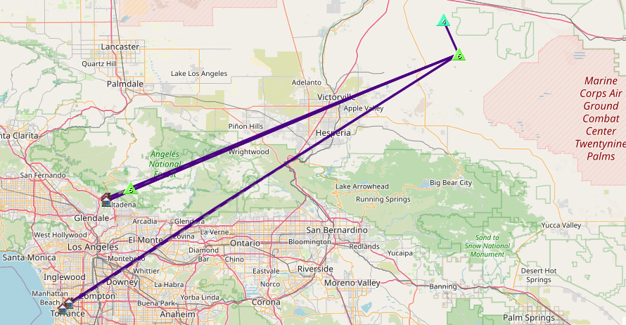
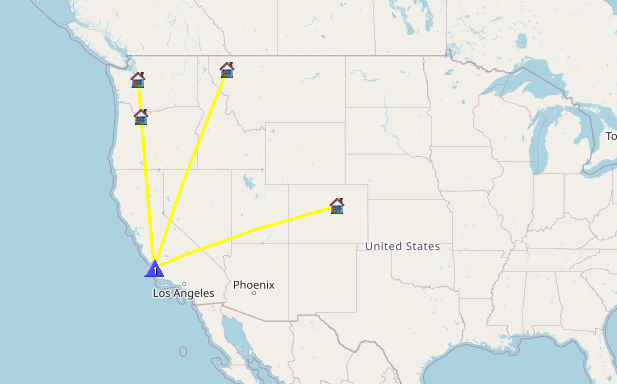
2026 SoCal Winter SOTA Fest schedule –
1st –> (This one) https://blog.benmook.com/w6-sd-080-4633/
2nd –> https://blog.benmook.com/w6-sd-013-east-ord-mountain/
3rd –> https://blog.benmook.com/w6-sd-010-ord-mountain/
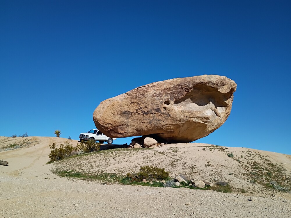
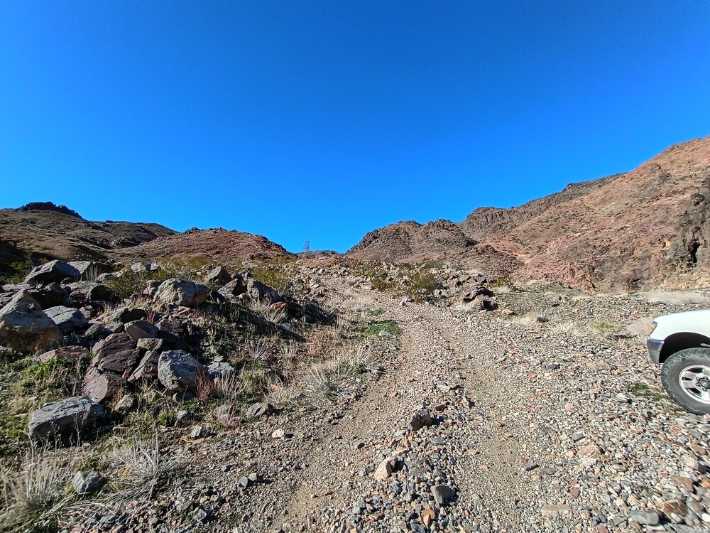
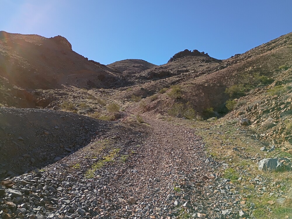
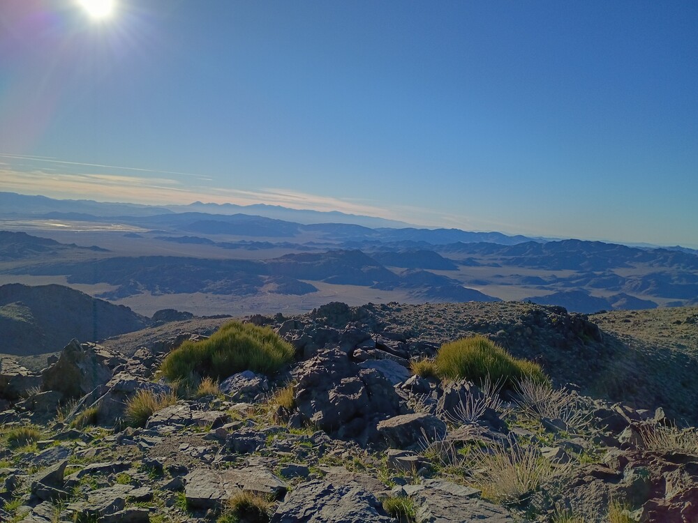
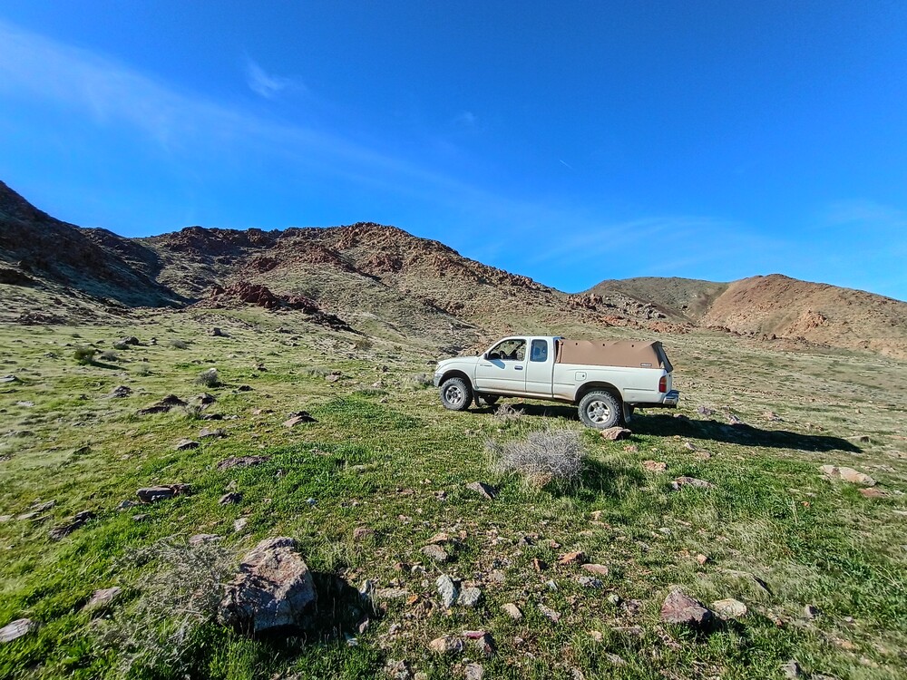
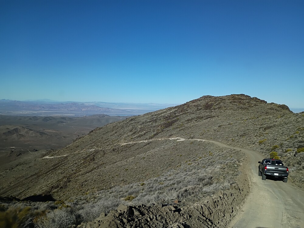
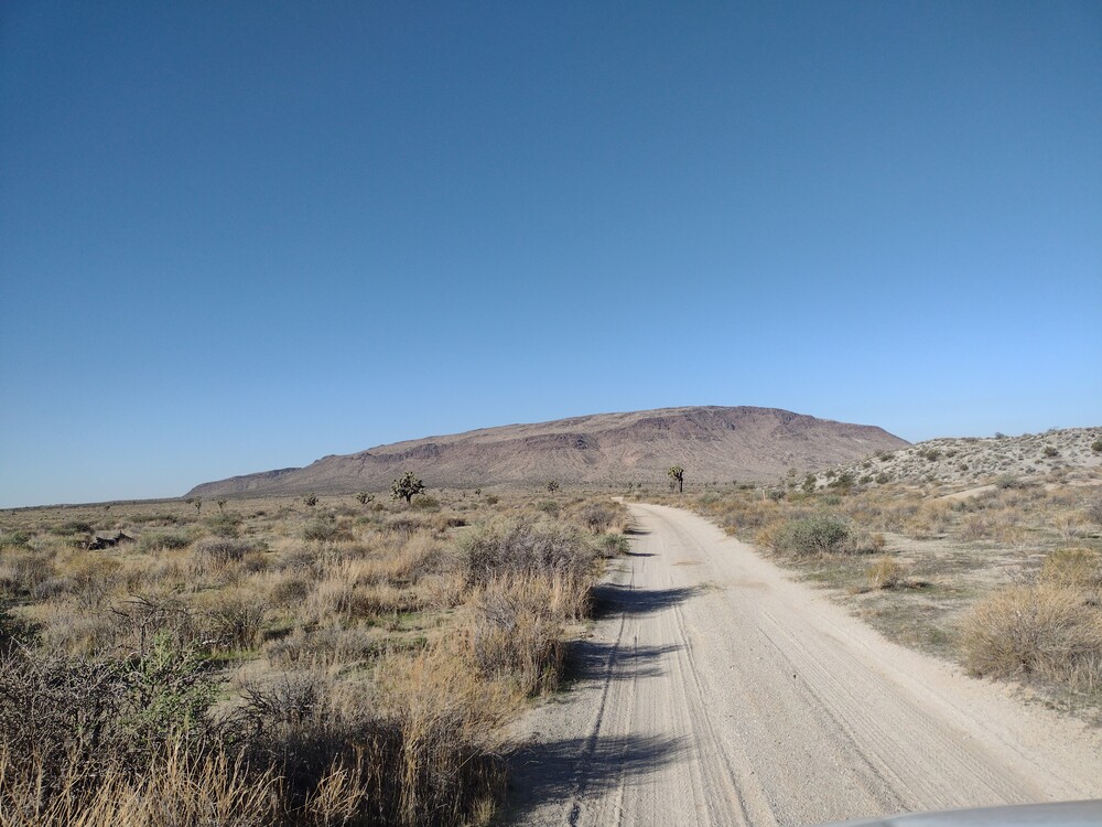
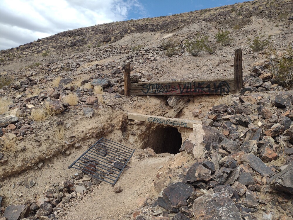
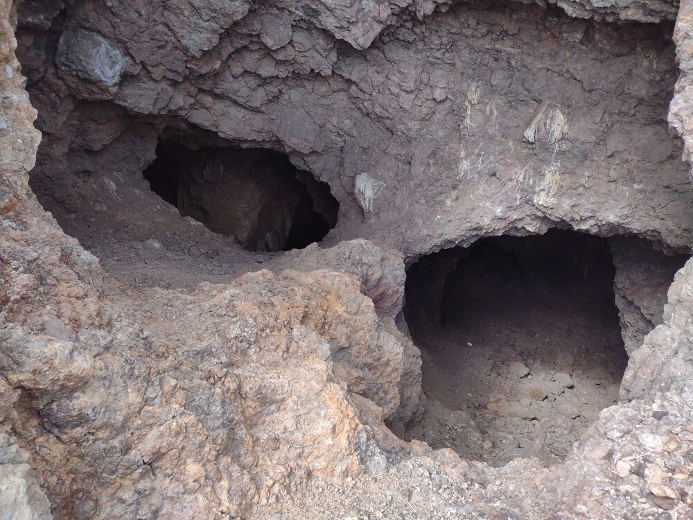
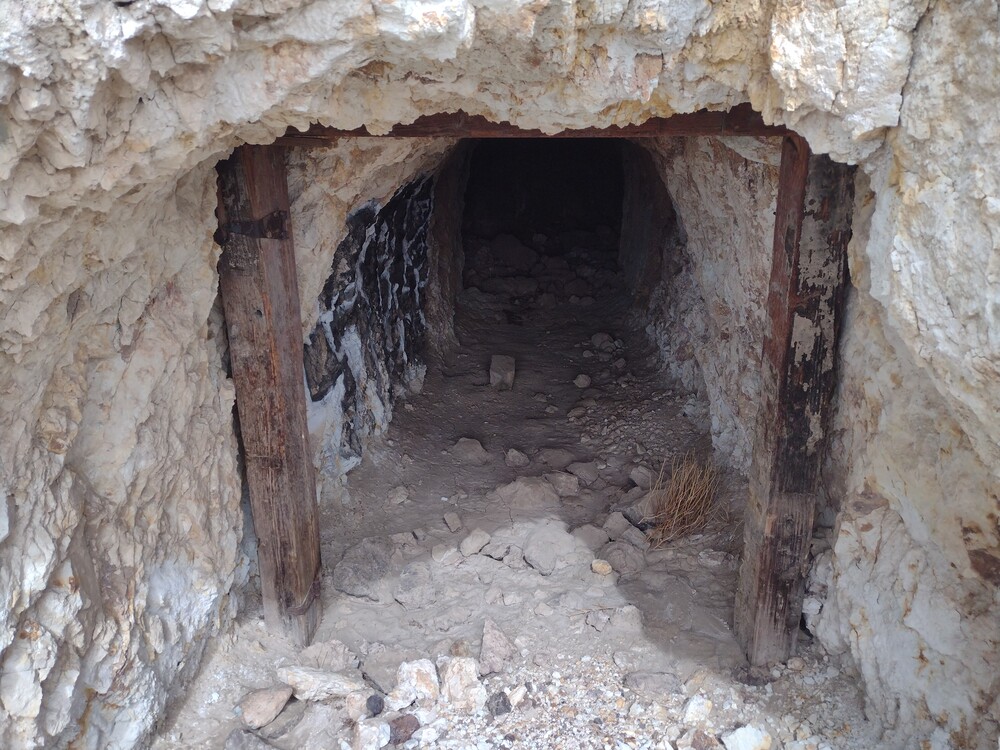
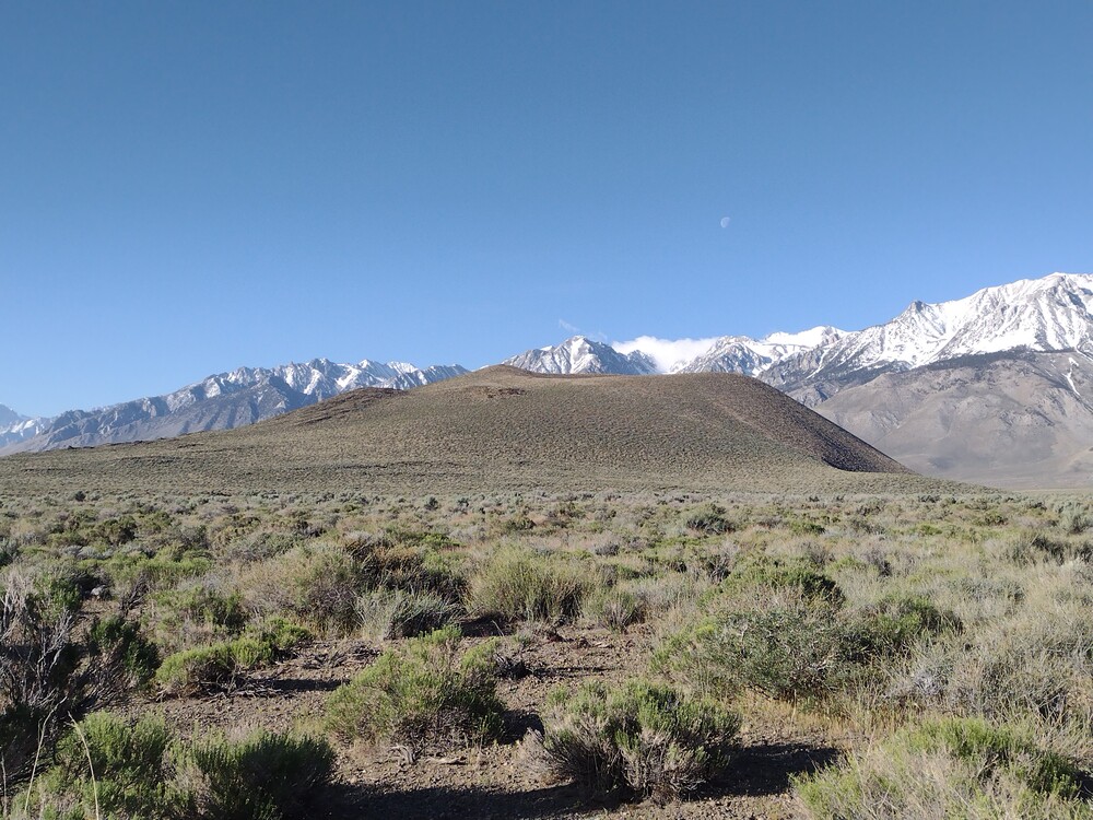
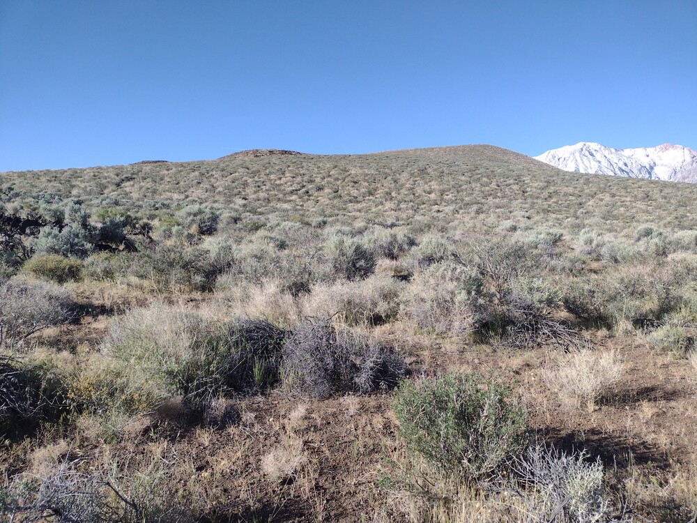
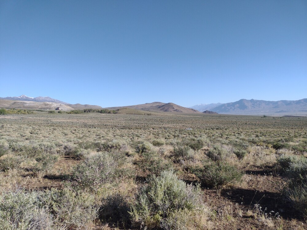
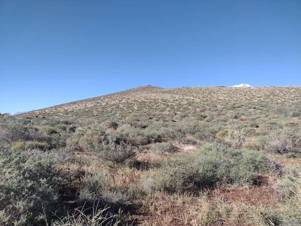
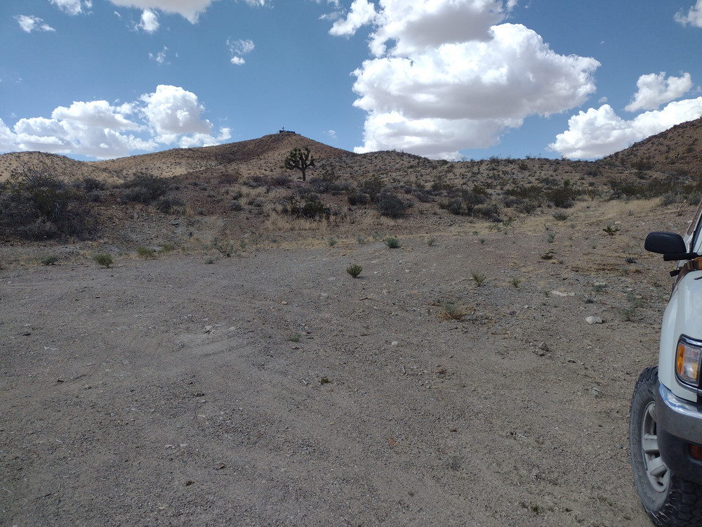
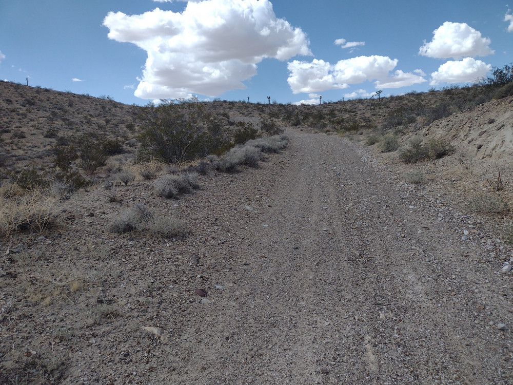
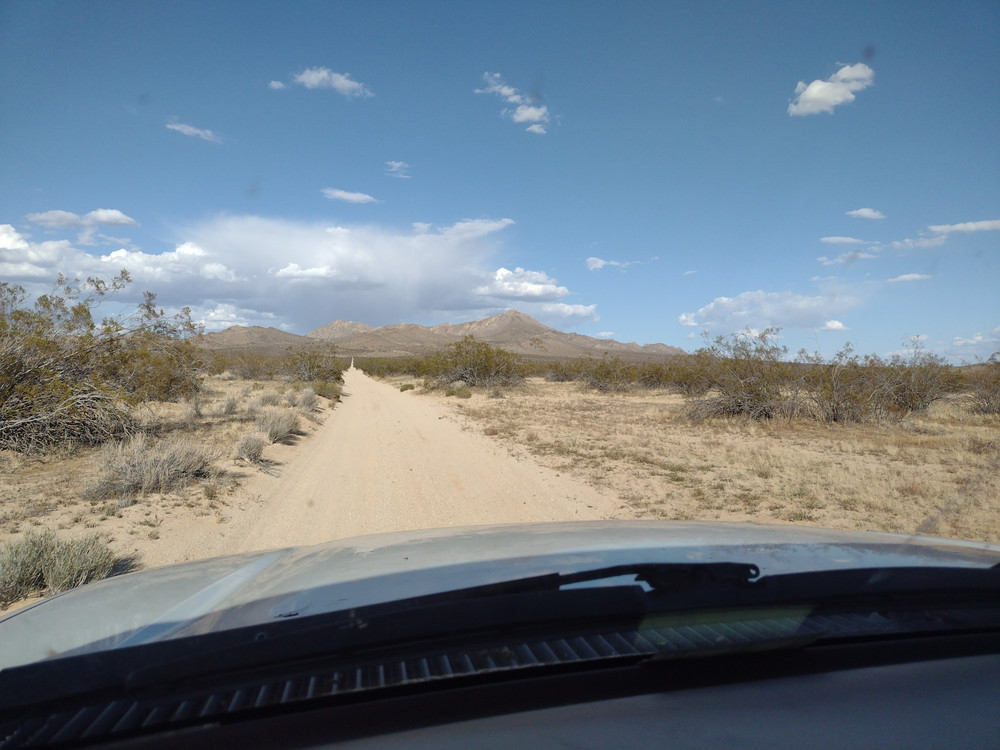
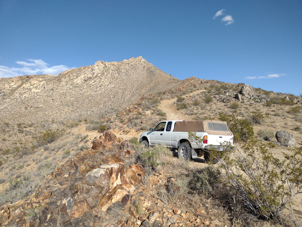
This was my first activation for SoCal Winter Field Day. I woke up early and wasted no time leaving Los Angeles to get to this first summit, but I did stop somewhere off Bear Valley Road for fuel and a breakfast burrito. Getting to the starting point was pretty easy. From Barstow Rd, turn east on Haynes Rd, then make a left on Huff Rd. That will run straight into Power Line Rd. Turn right and take it as close to the summit as you can. It gets kinda rocky the further you go. 4633 is in an area where people 4×4, so the earth is pretty torn up. Park where you can. There is also a popular rock climbing area known as “Hercules Finger”.
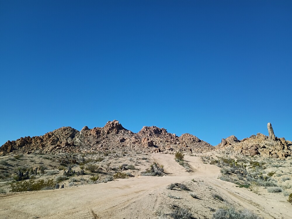
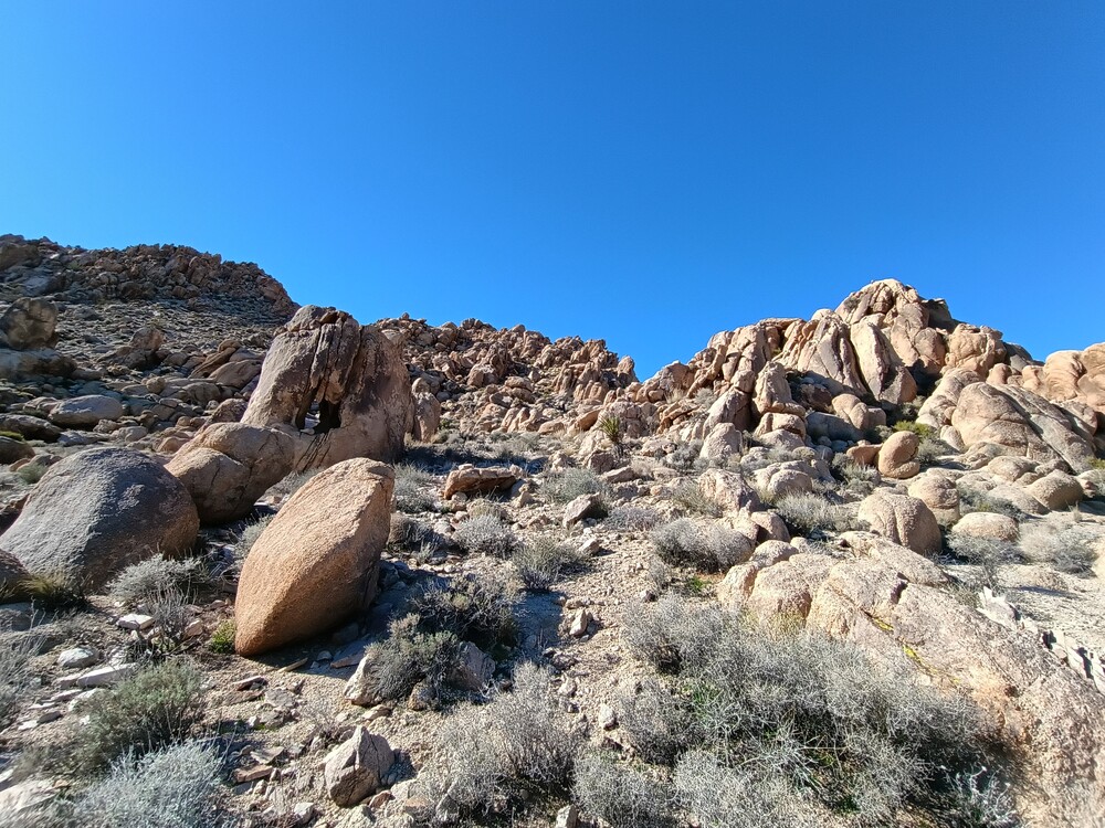
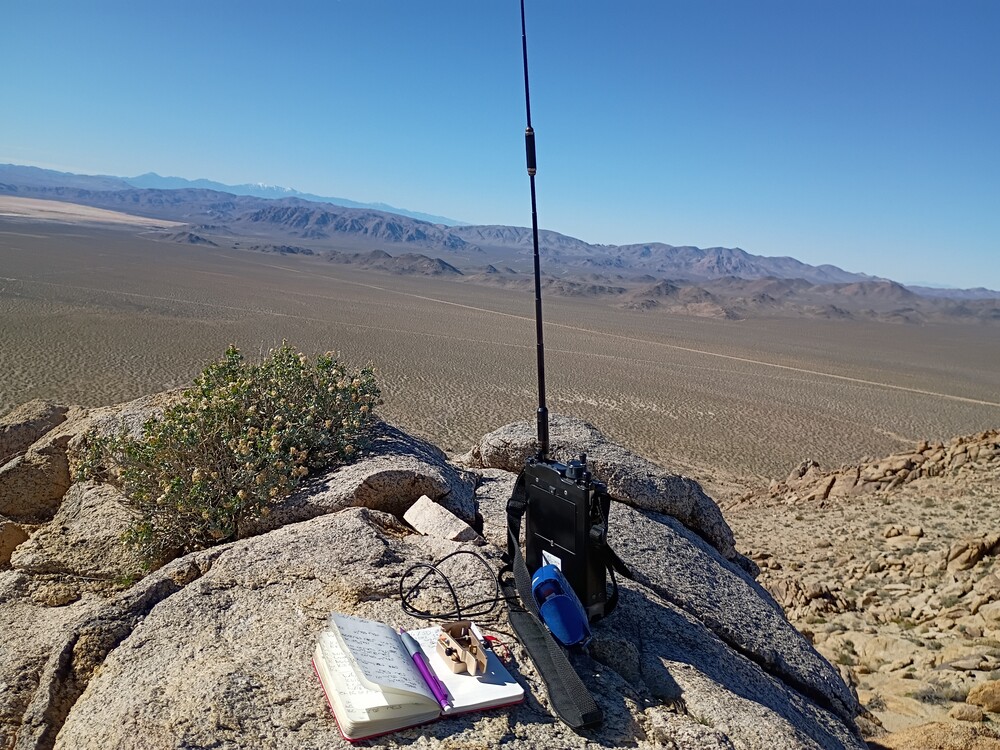
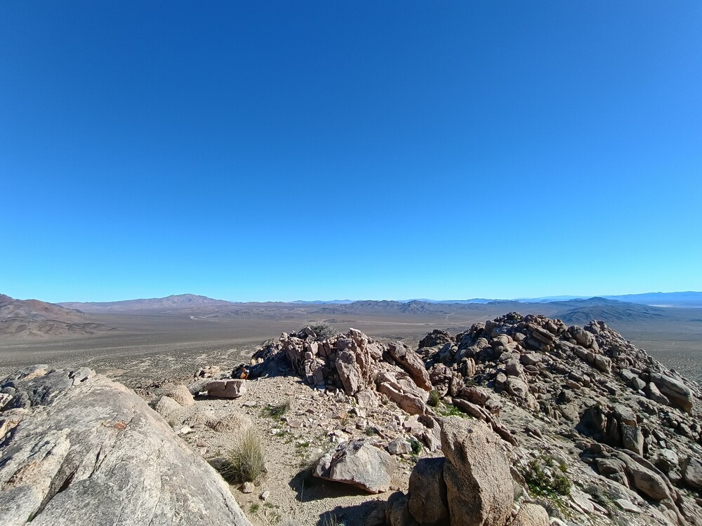
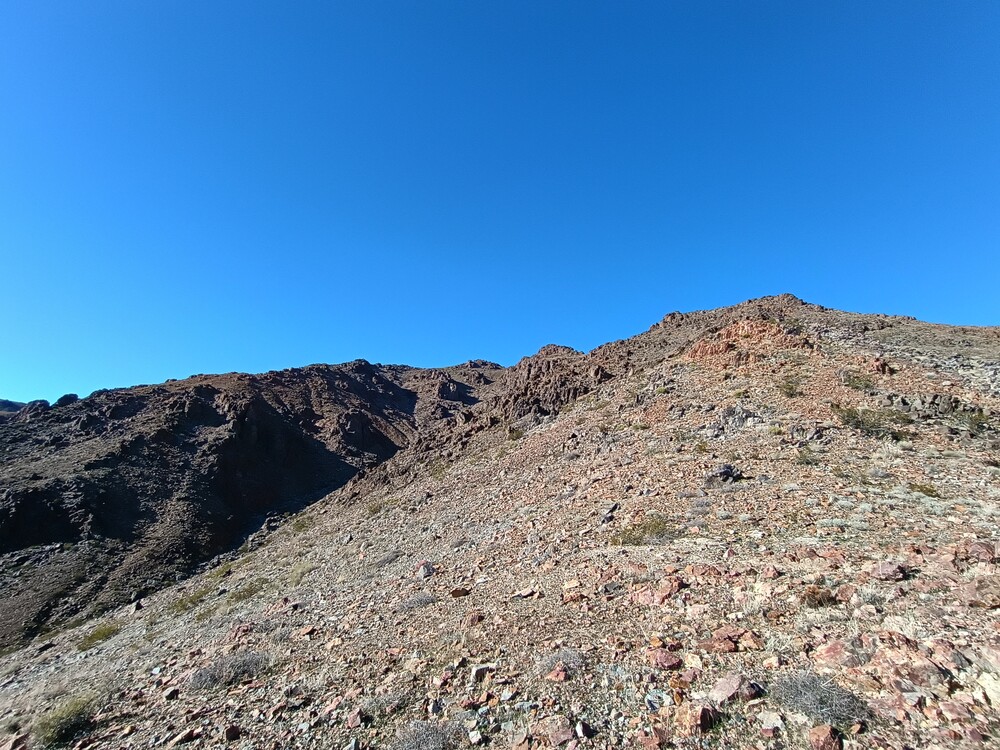
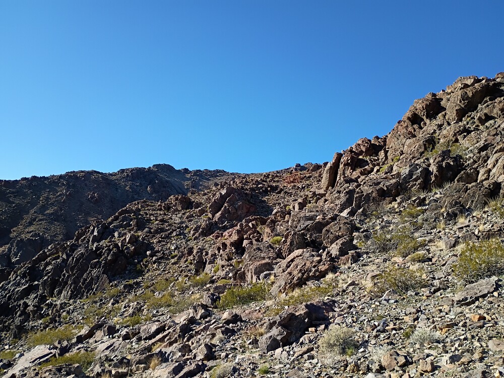
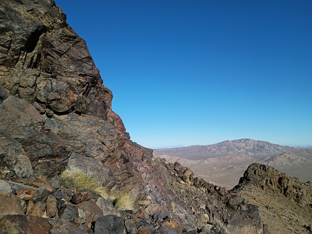
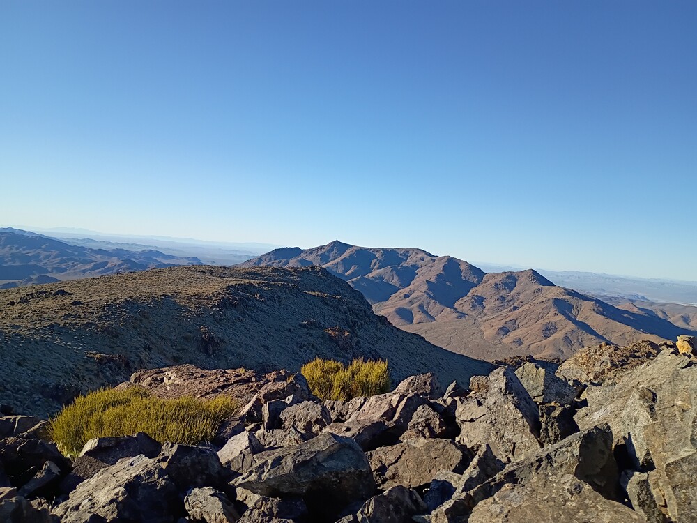
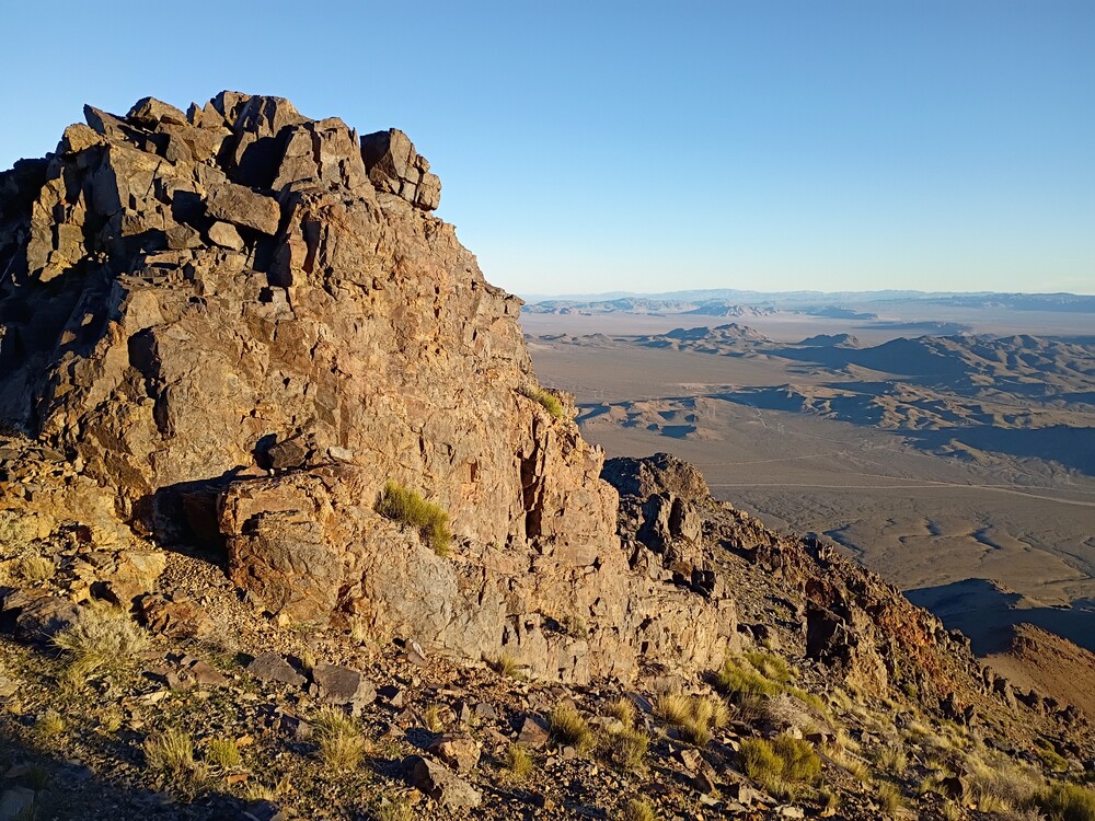
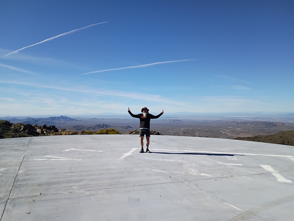
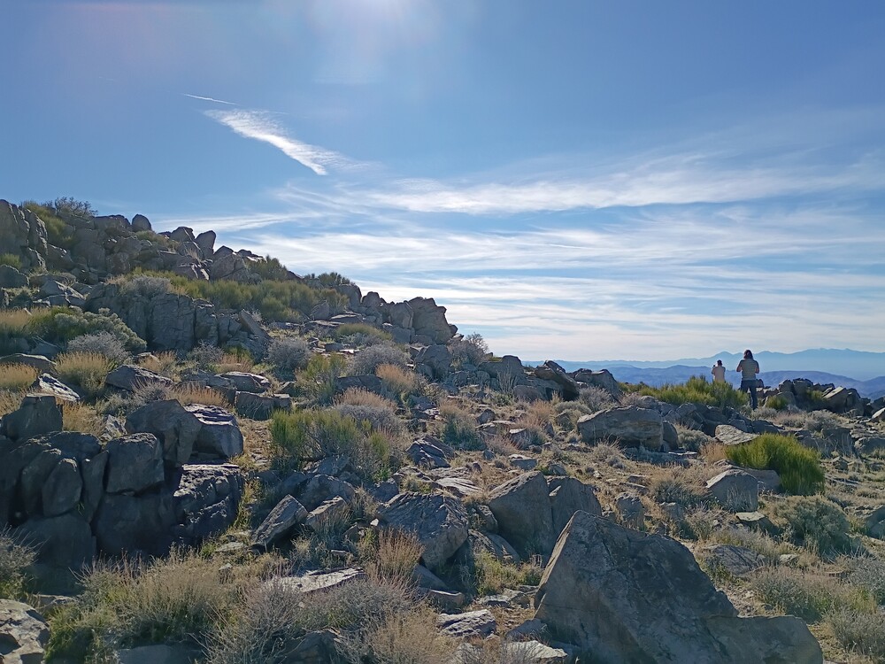
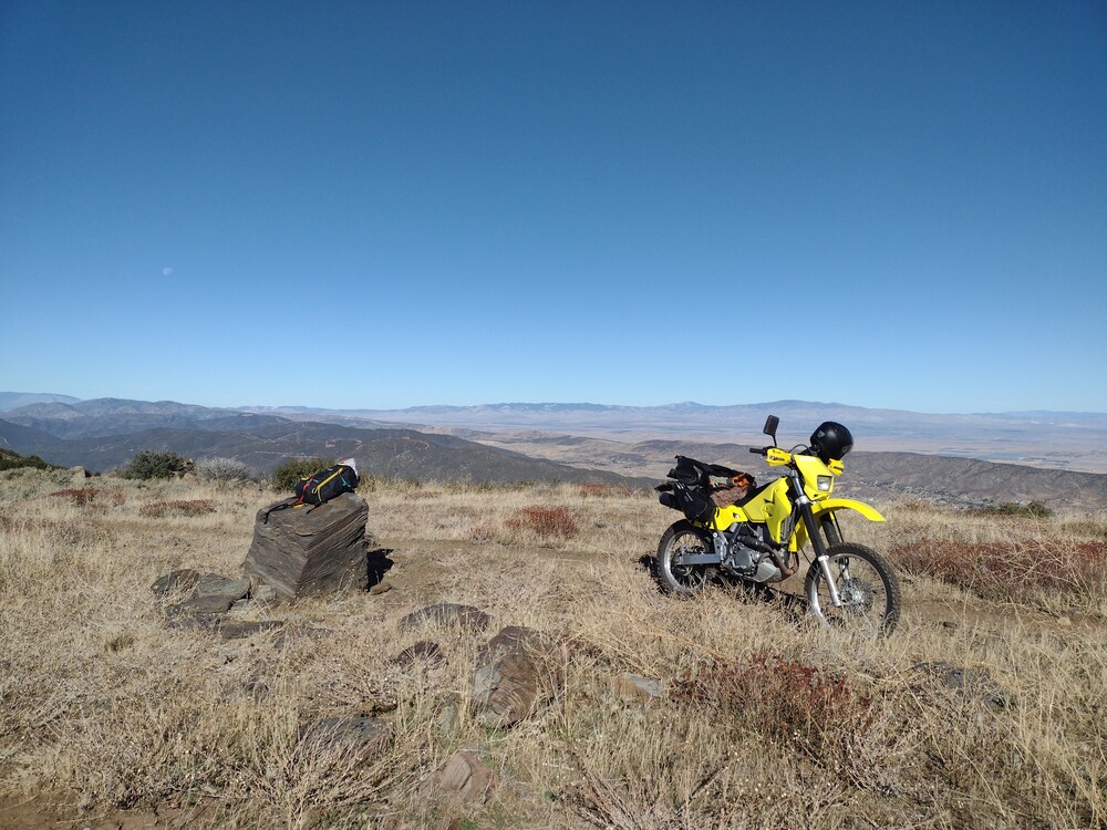
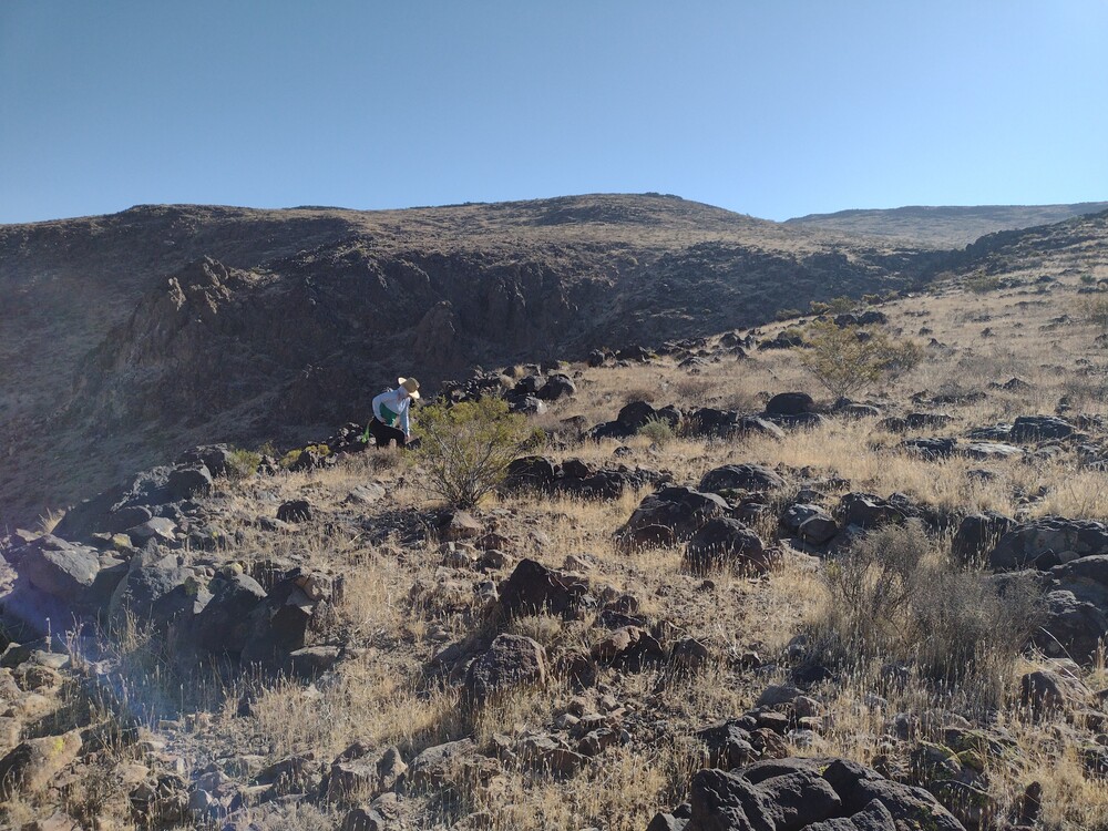
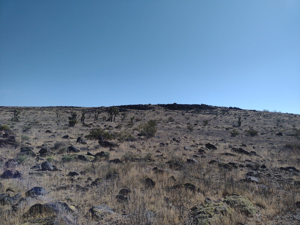
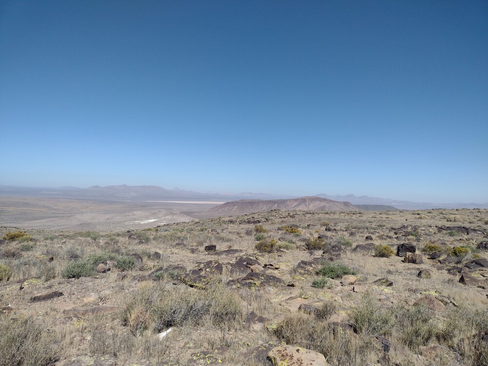
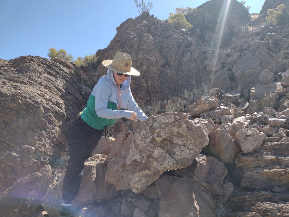
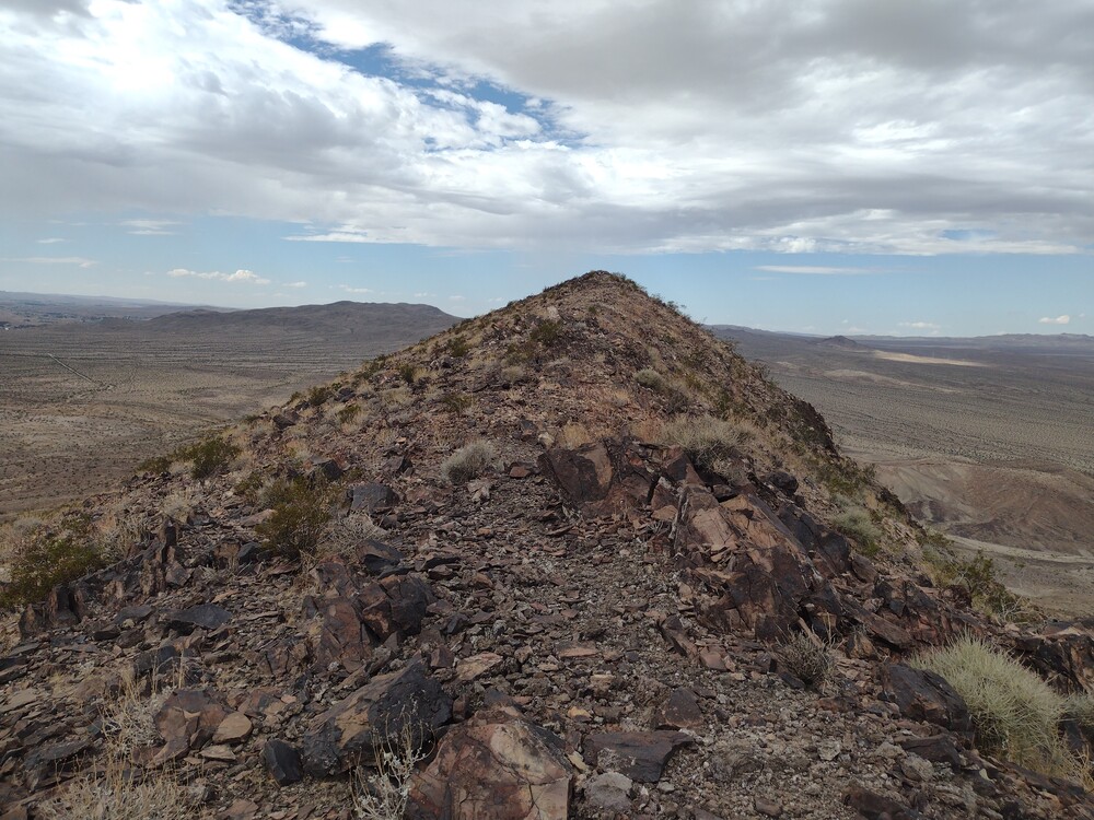
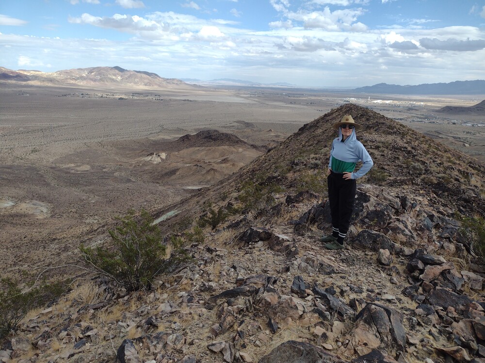
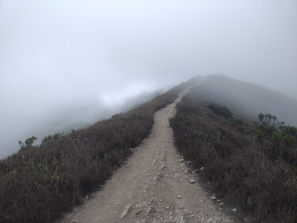
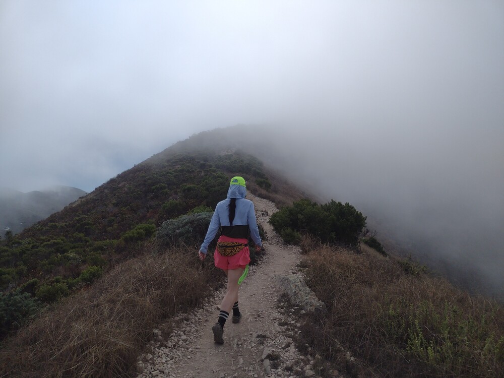
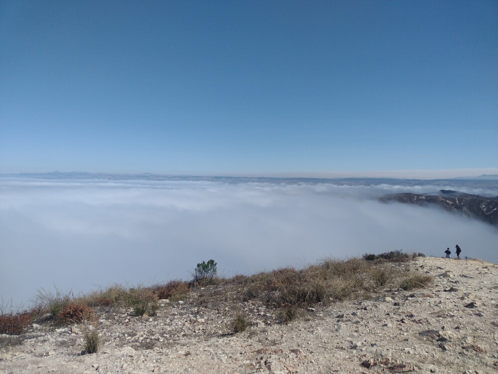
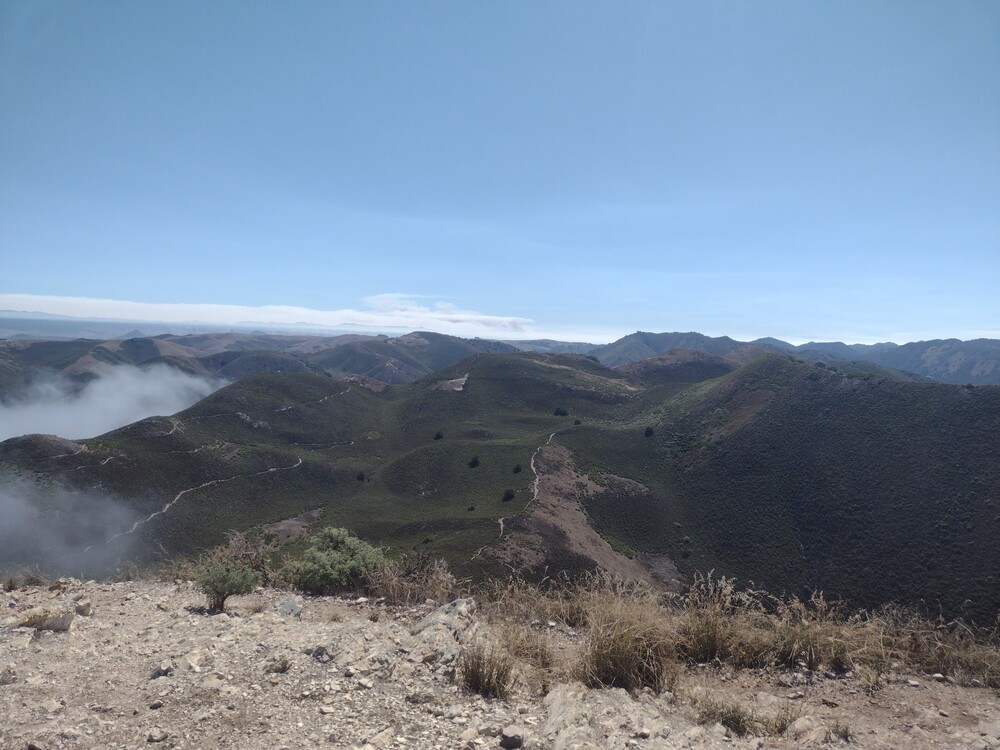
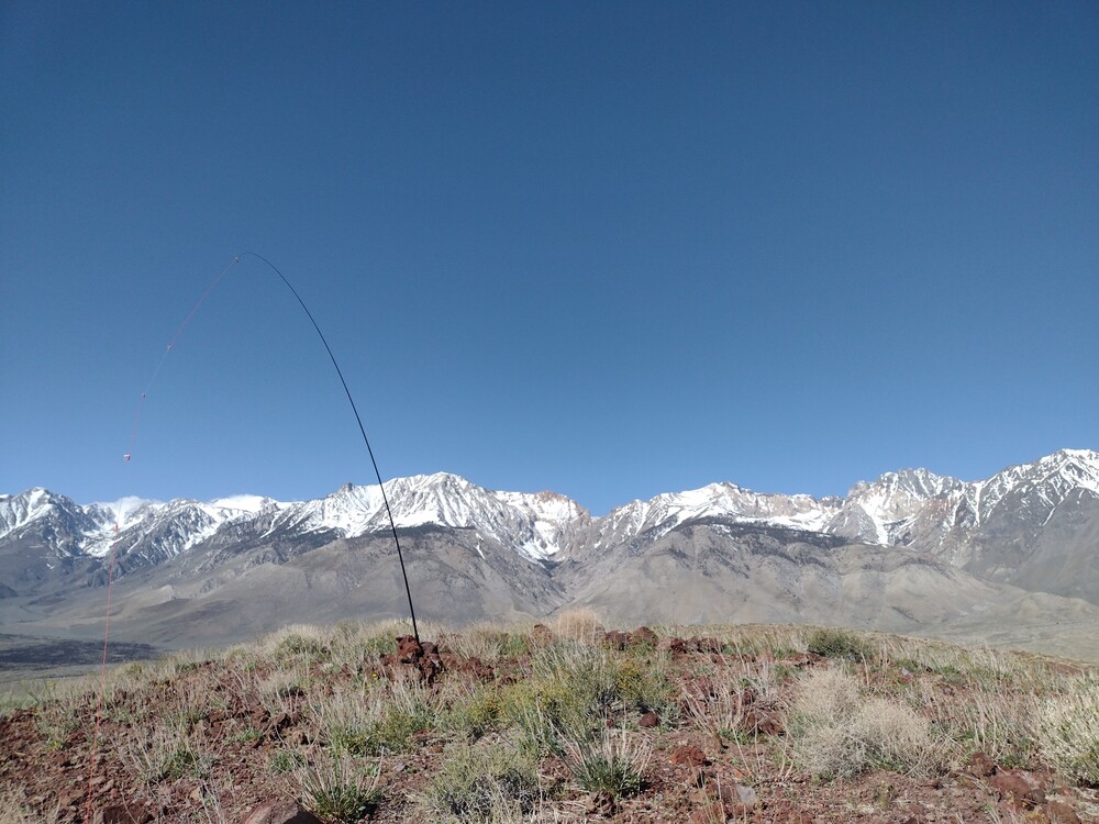
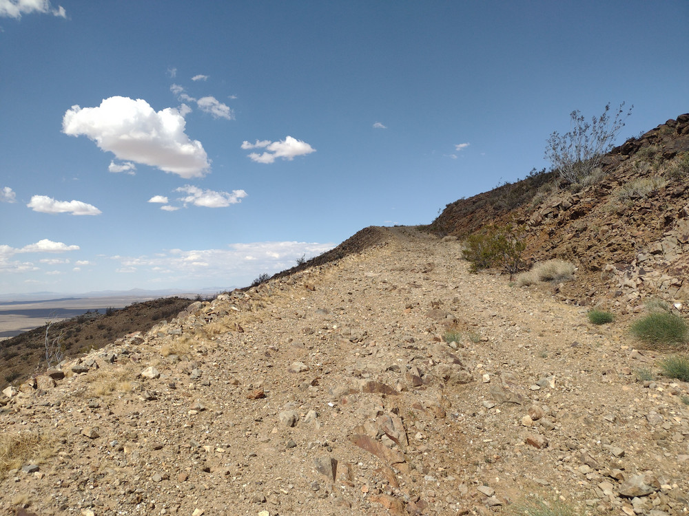
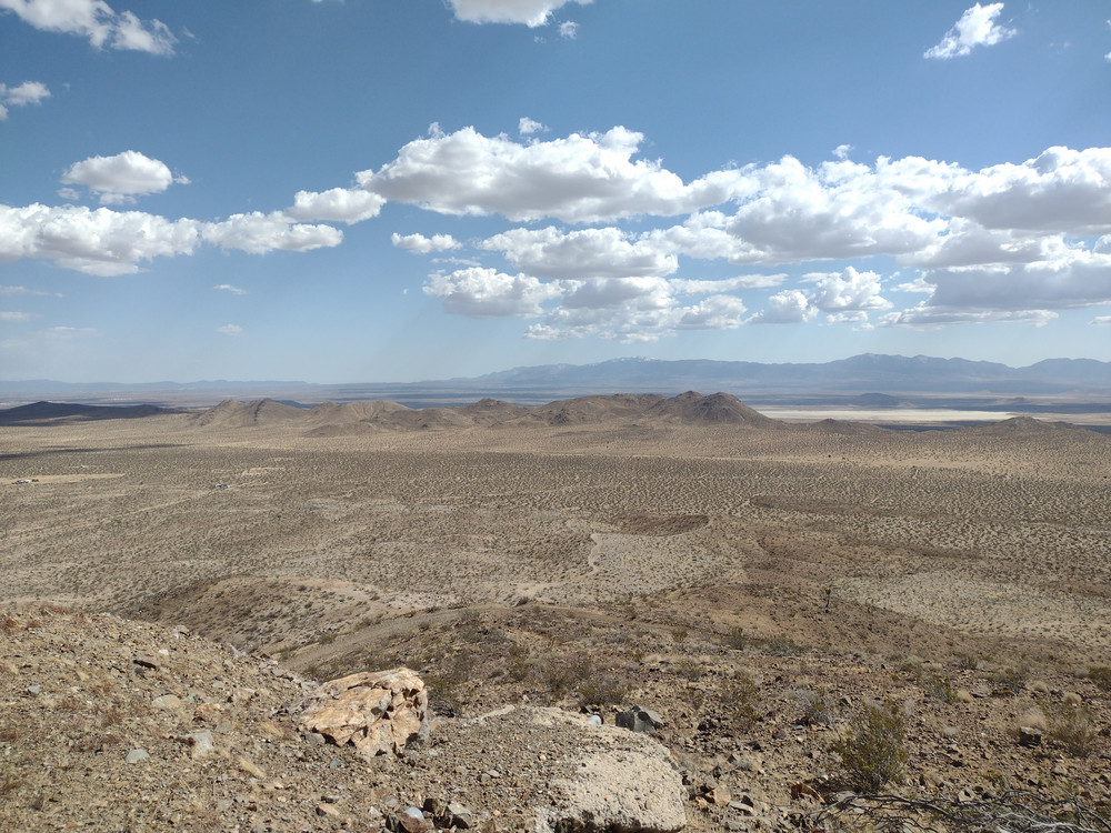
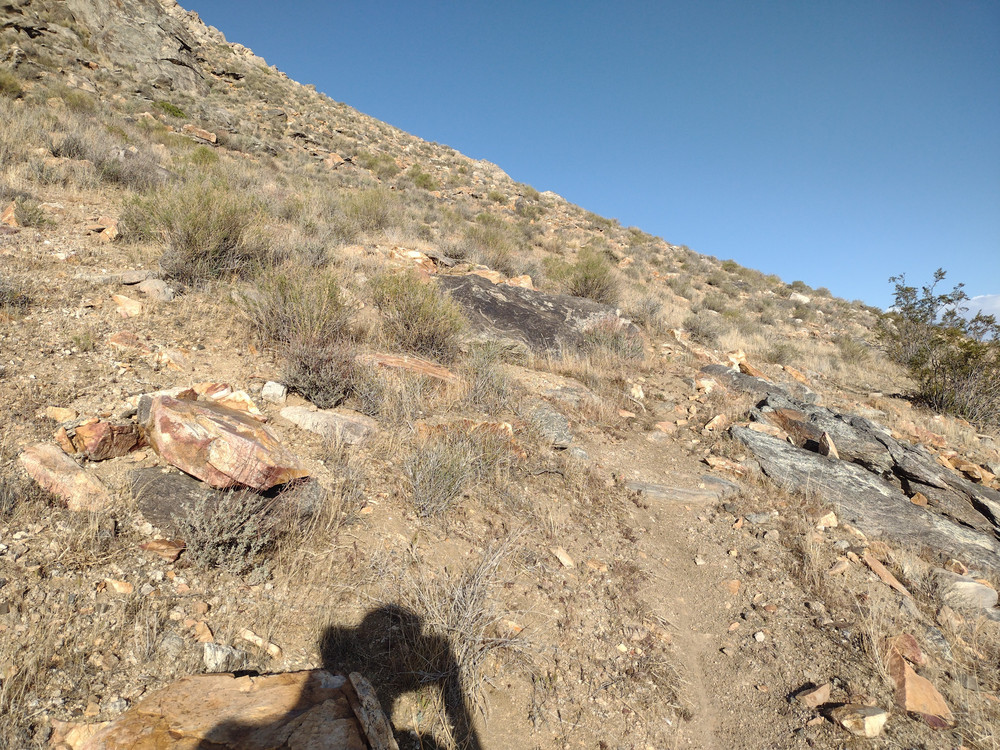
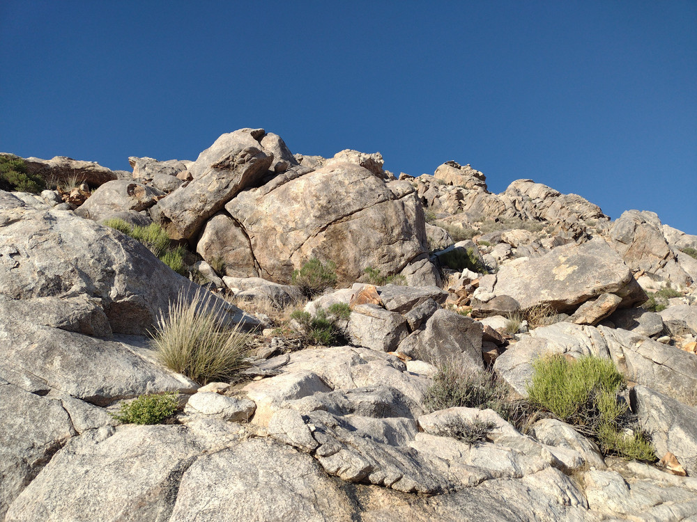
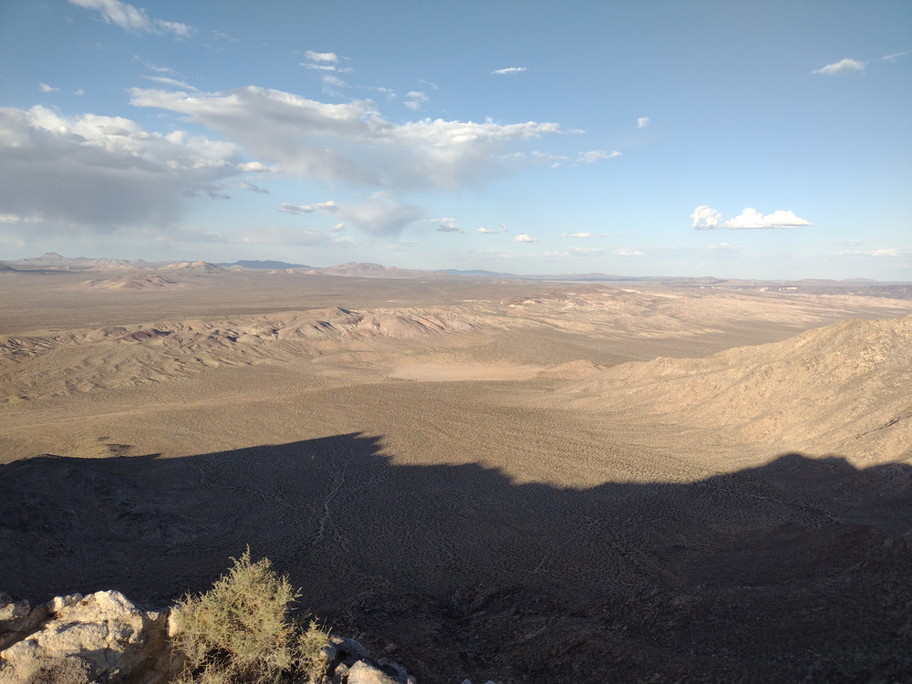
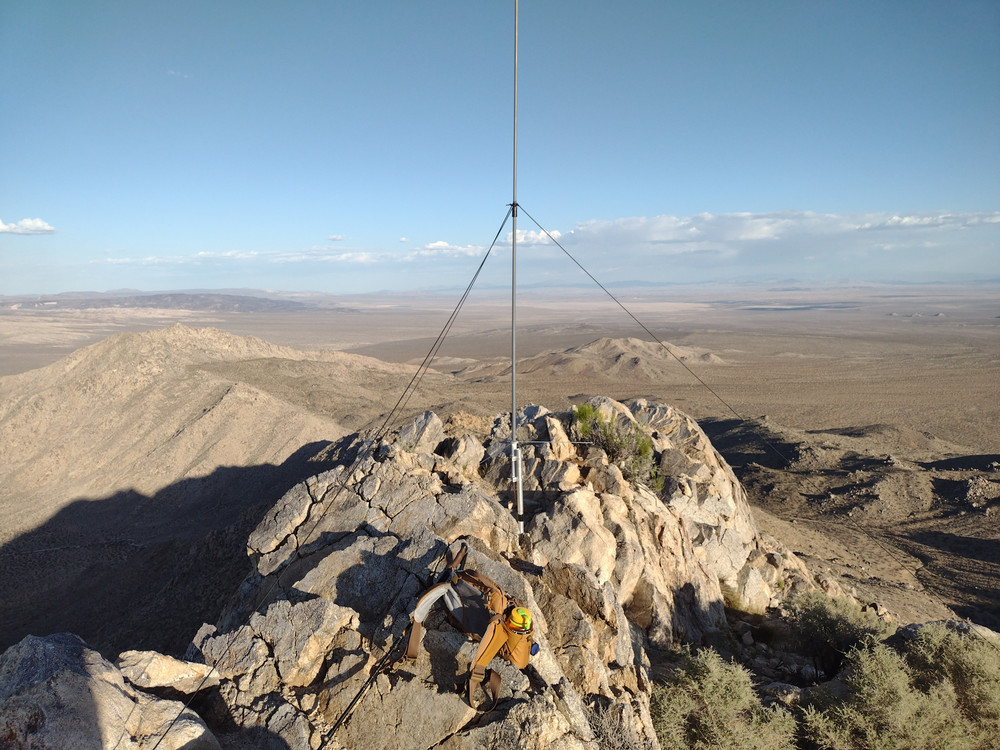
I followed a moto trail into the rocks for a bit before turning west up to the summit. This was a scramble, hopping over boulders and navigating around large rock formations. Once at the top, I setup 2M CW and heard Mark calling CQ from a summit; 599 both ways. I worked HF high bands and tore down after exhausting chasers. From the top, I could see East Ord. It was the closest summit to me, so I figured I would hike it next. Hiking down, I met two folks climbing Hercules Finger. They asked me if they could borrow a lighter to smoke a doobie. haha. I had a lighter in my truck I gave them to keep so they could continue to enjoy their day.
If you are a frequent visitor to this blog, you probably know I take a ~45 second video of summits and post them here. I forgot to take one, so I’m writing this instead.
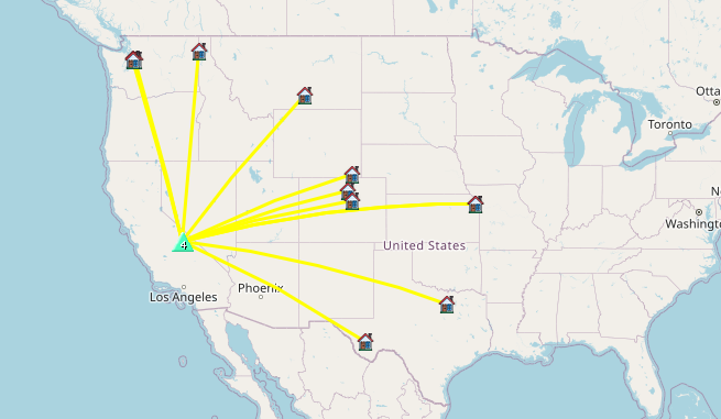
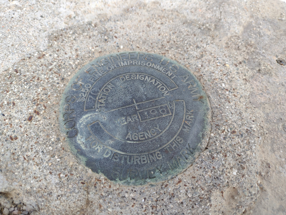
https://sotl.as/summits/W6/SD-080
Total climbing: 796 ft
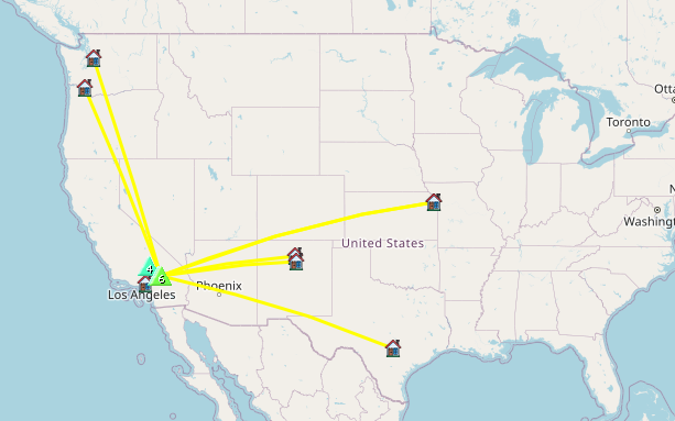
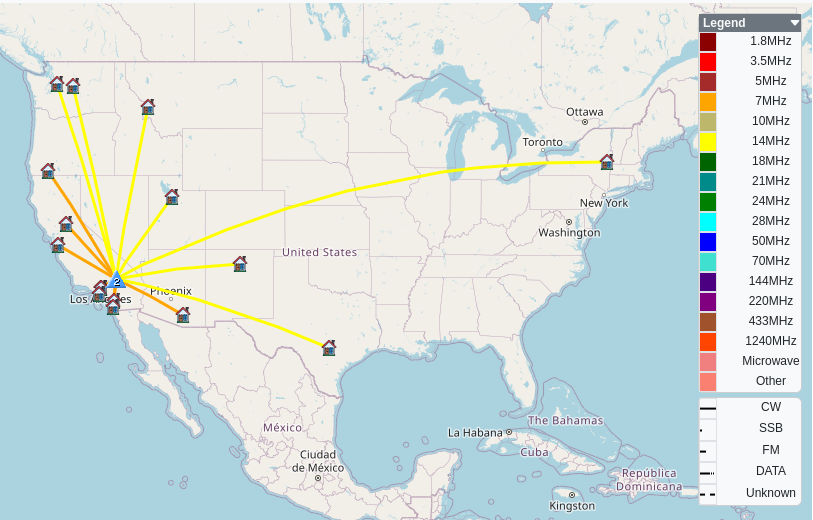
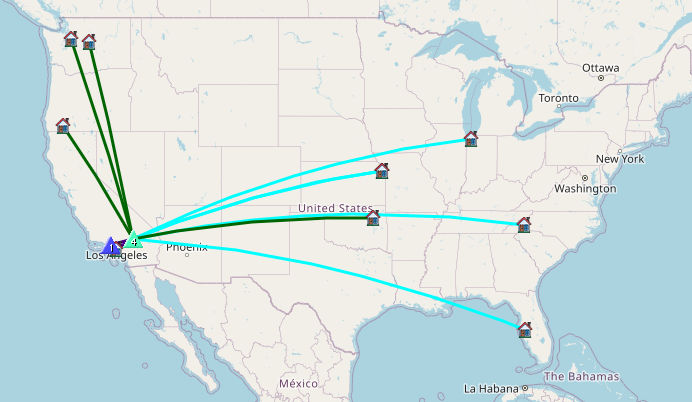
Date:16/01/2026 | Summit:W6/SD-080 (4633)
| Time | Callsign | Band | Mode | Distance (km) | Notes |
|---|---|---|---|---|---|
| 19:23 | KD7DTS | 144MHz | CW | 187 | S599 R599 |
| 19:38 | NT6E | 144MHz | CW | 169 | %QRA%DM03TU% |
| 19:47 | W0MNA | 28MHz | CW | S599 R599 | |
| 19:47 | KF6HI | 28MHz | CW | S66N R43N | |
| 19:48 | W0ERI | 28MHz | CW | S599 R599 | |
| 19:49 | NB0C | 28MHz | CW | S55N R54N | |
| 19:53 | N4TU | 28MHz | CW | S44N R43N | |
| 20:01 | KE7F | 18MHz | CW | S55N R55N | |
| 20:04 | NU7A | 18MHz | CW | S57N R53N | |
| 20:05 | WU7H | 18MHz | CW | S57N R53N | |
| 20:05 | W5ODS | 18MHz | CW | S57N R55N | |
| 20:08 | KD8BEU | 18MHz | CW | S55N R51N |