W6/ND-323 – Lovejoy Butte

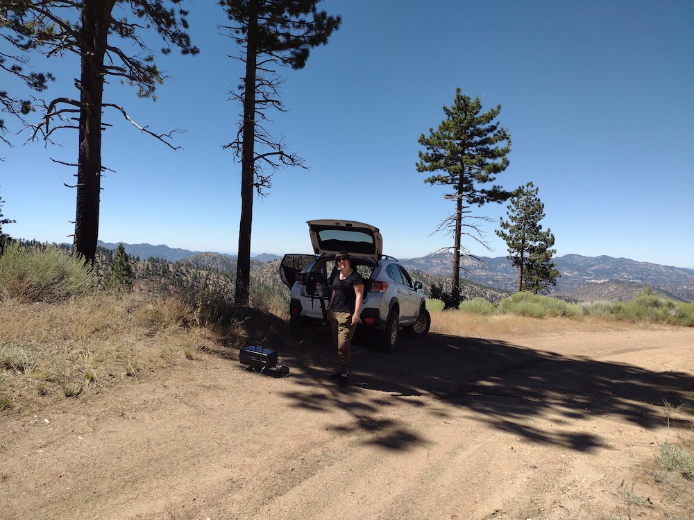
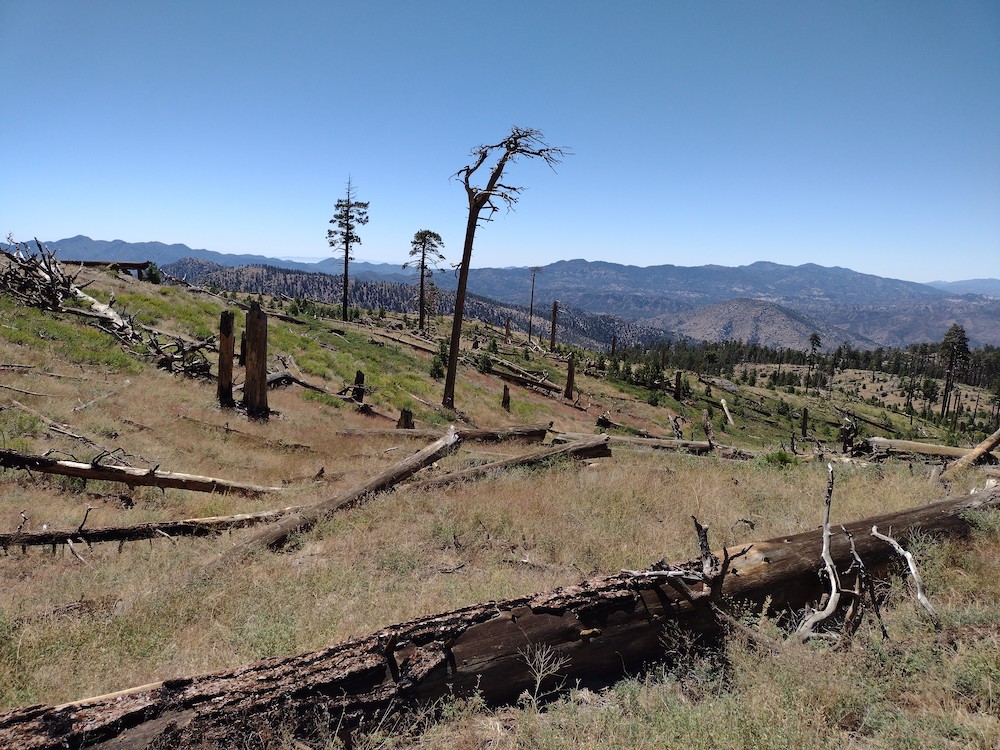
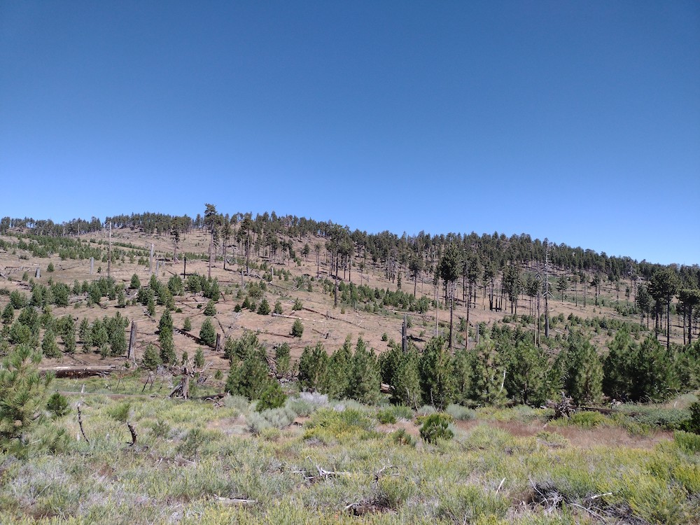
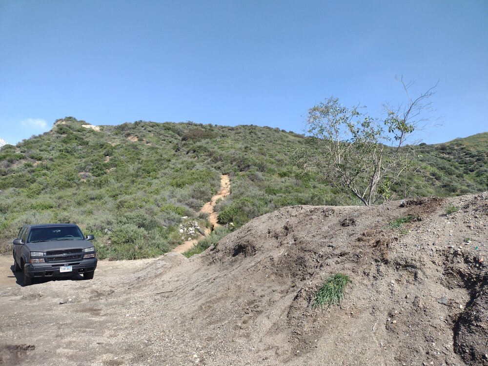
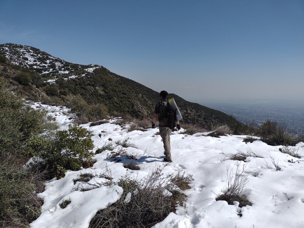
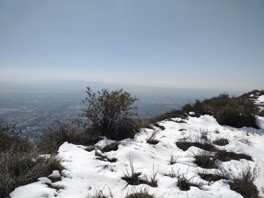
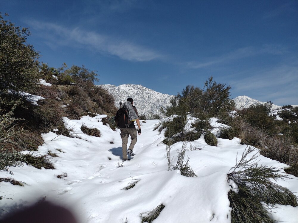
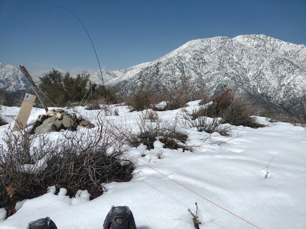
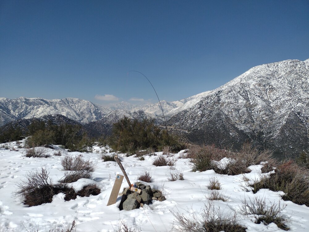
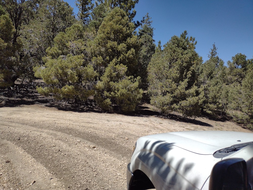
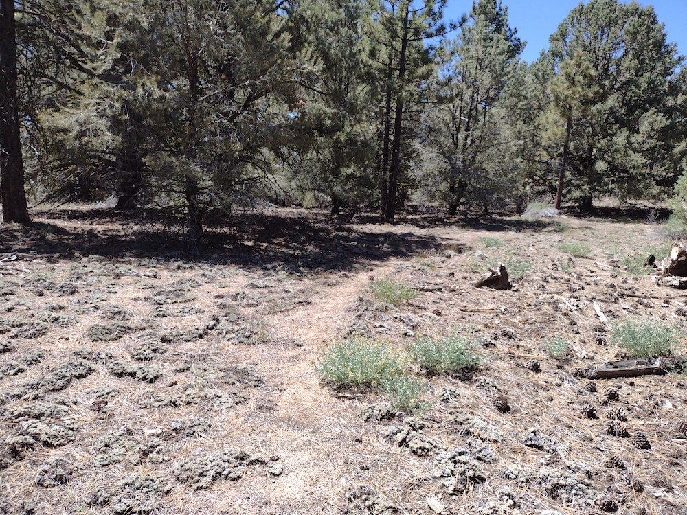
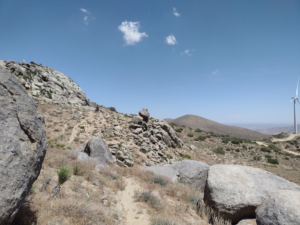
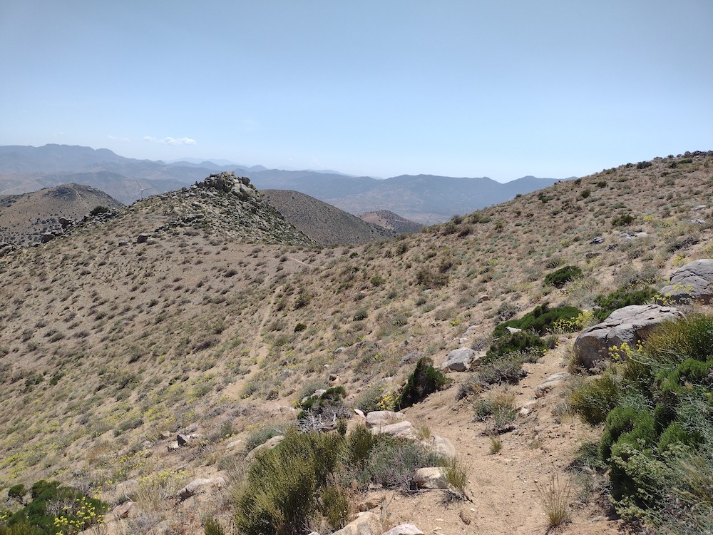
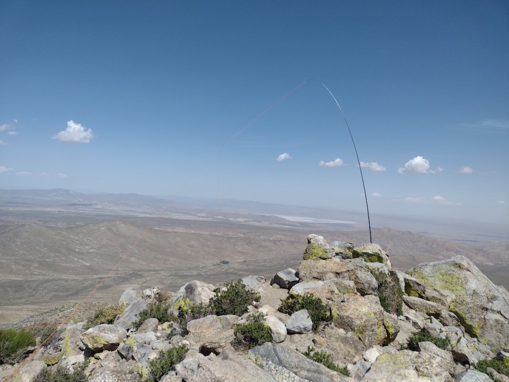
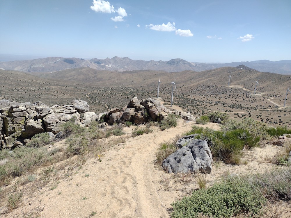
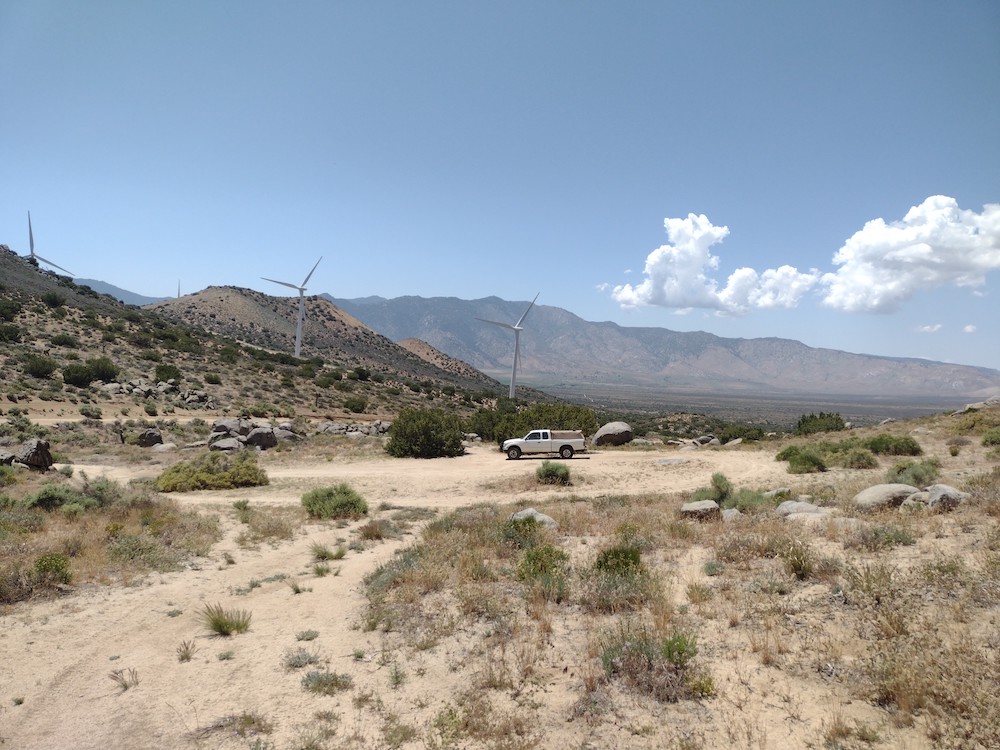
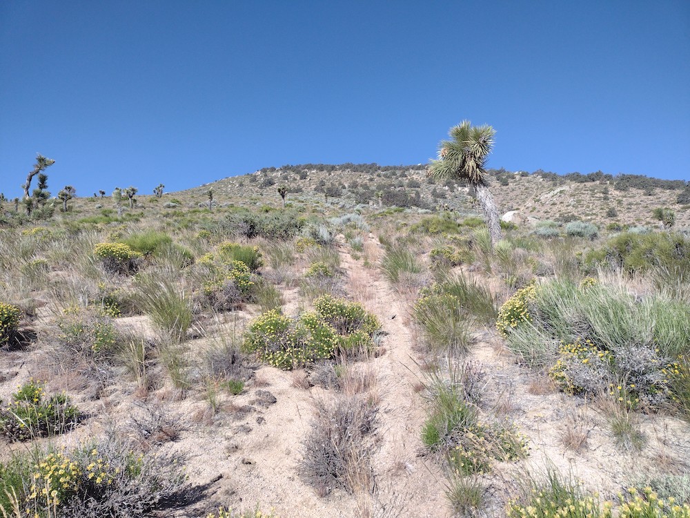
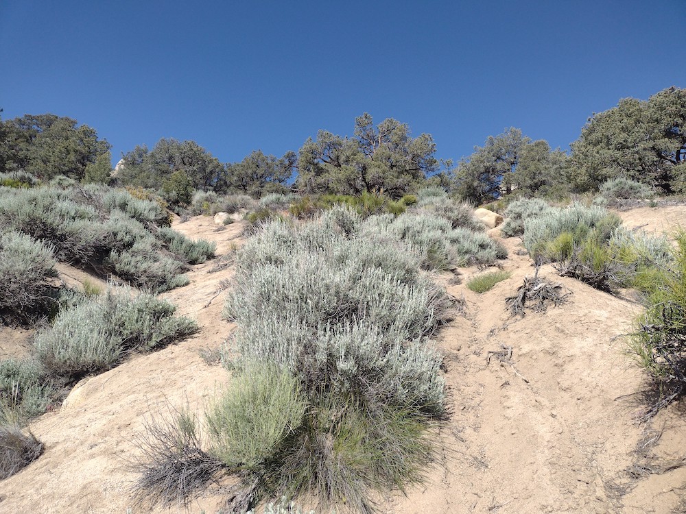
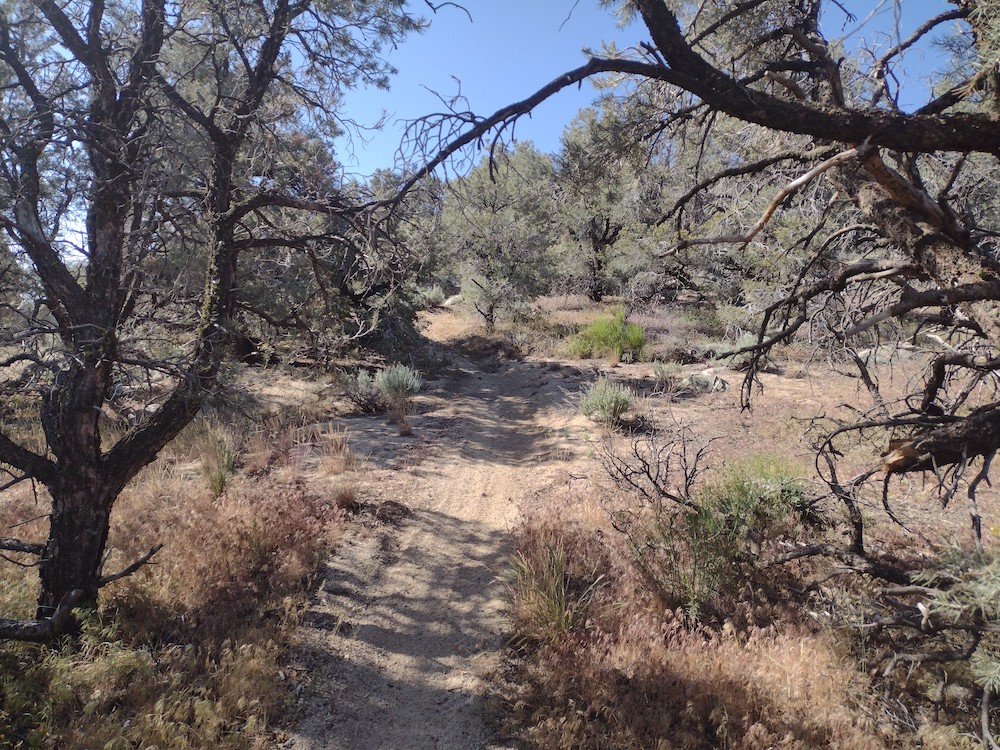
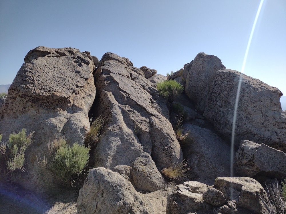
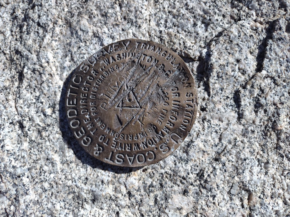
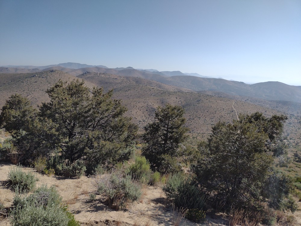
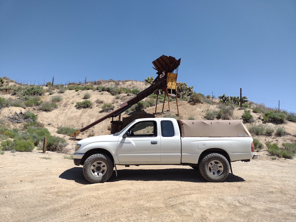
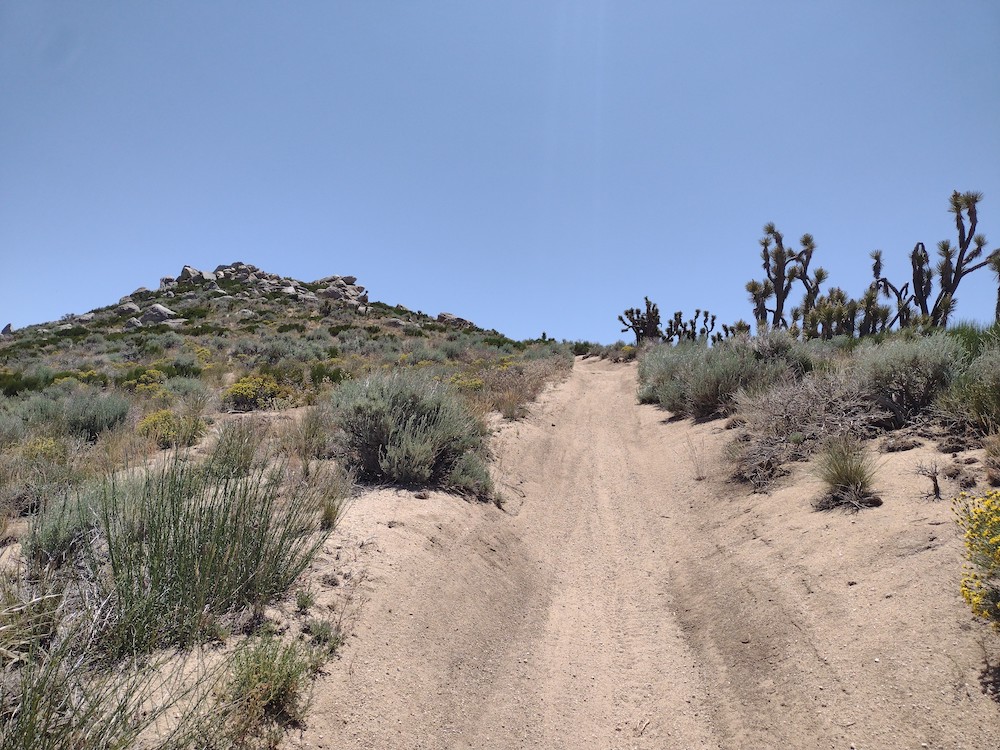
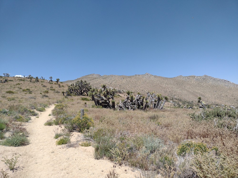
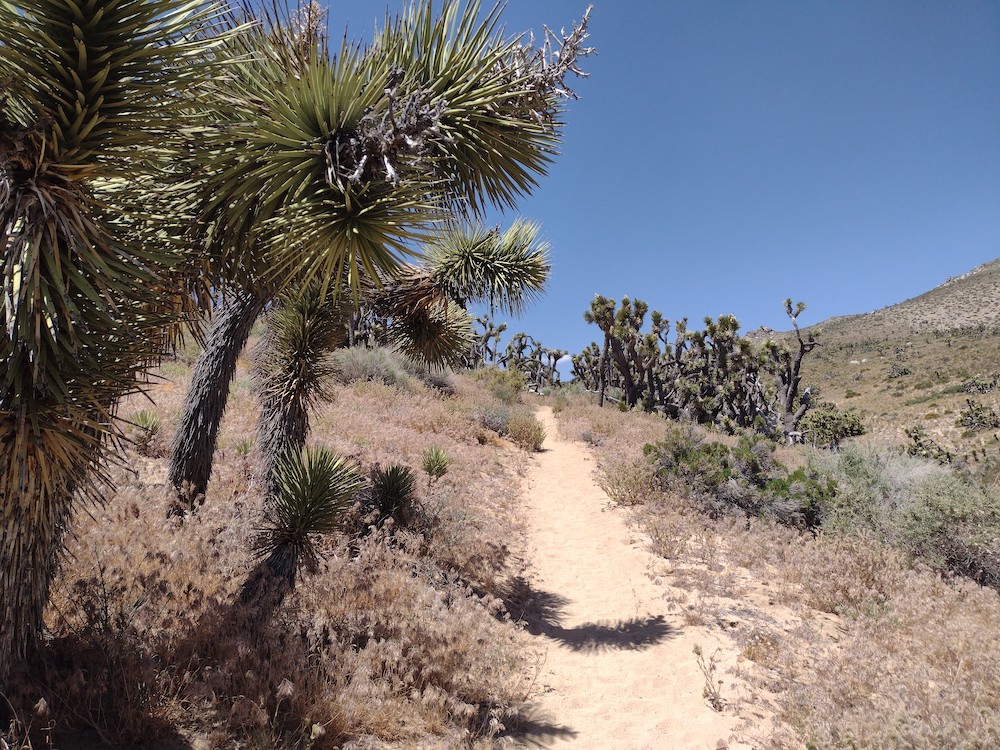
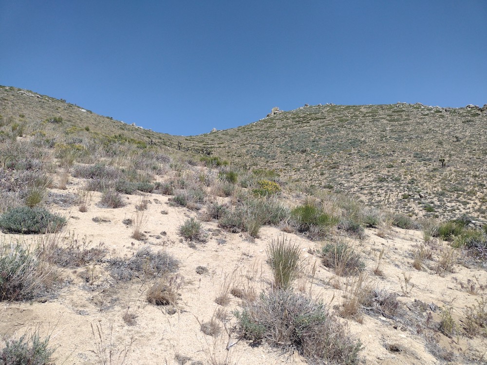
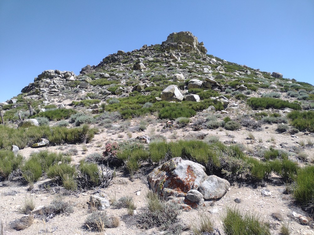
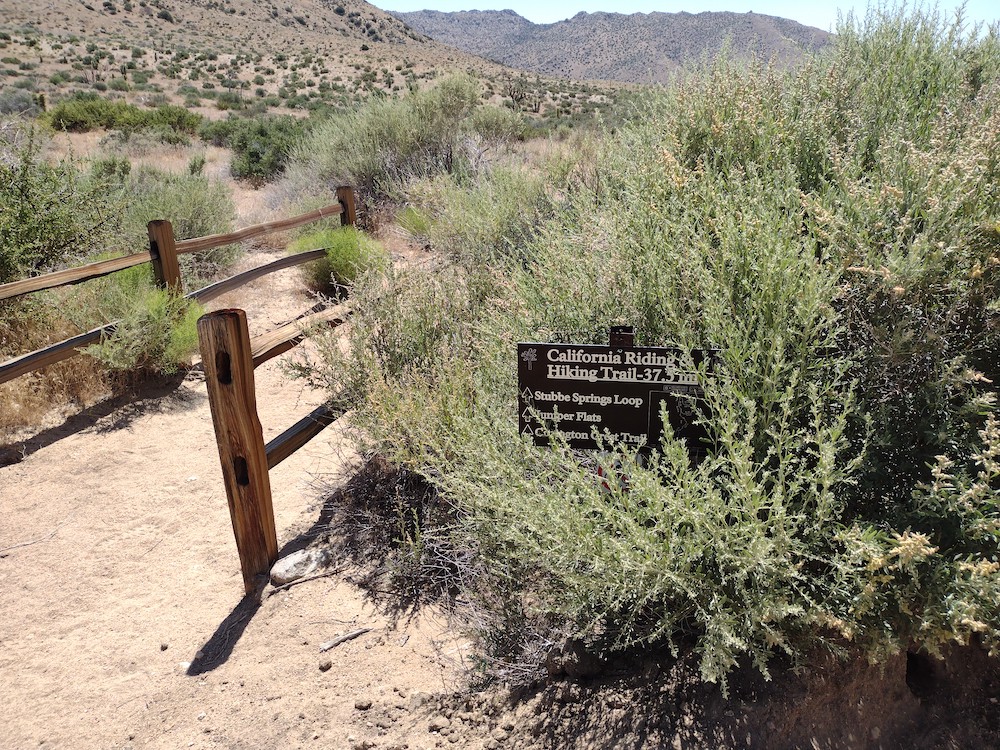
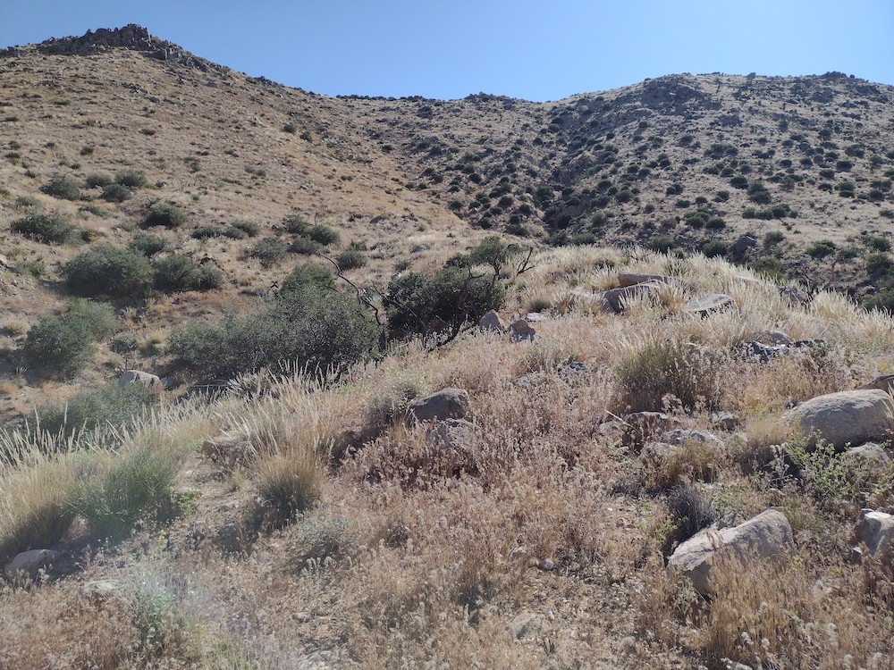
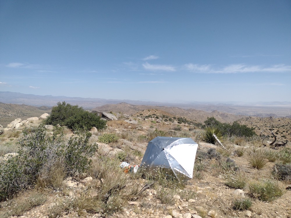
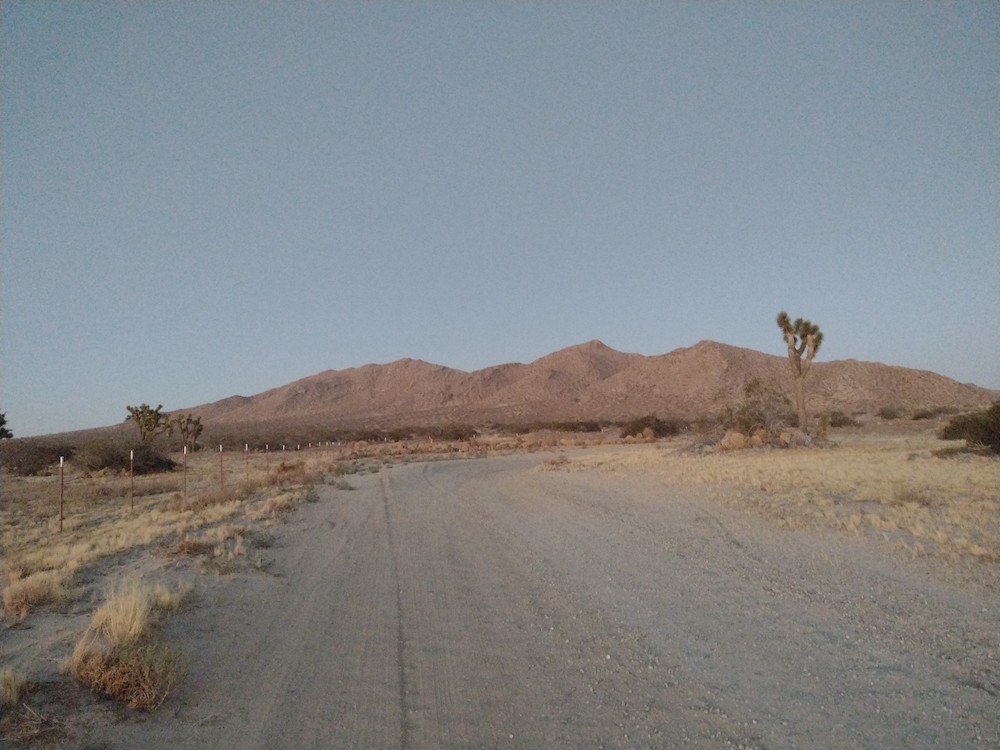
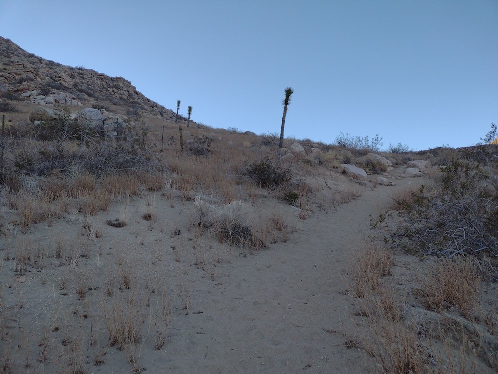
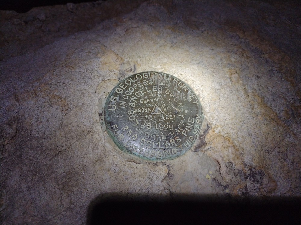
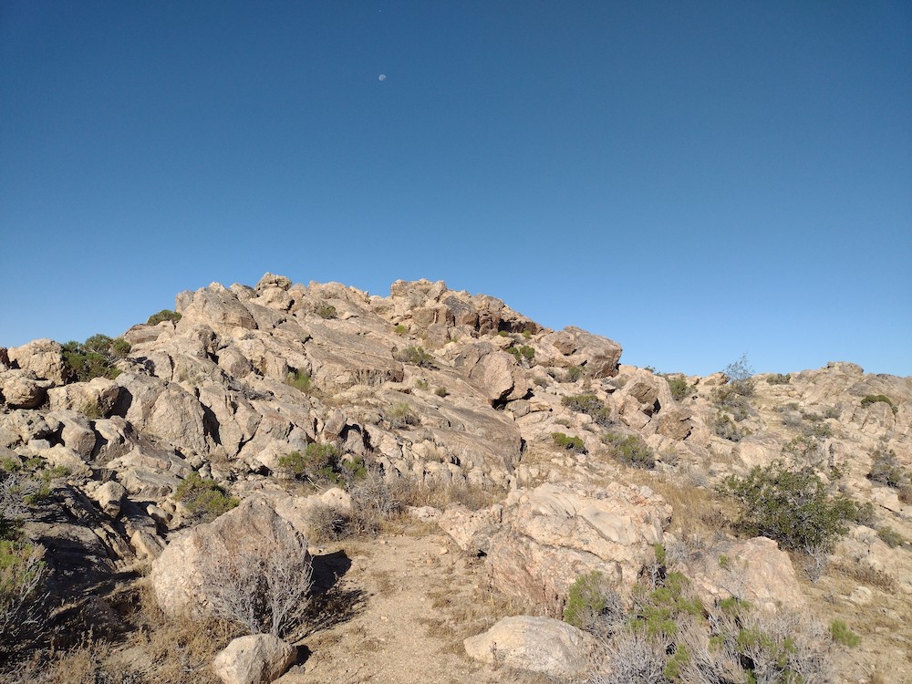
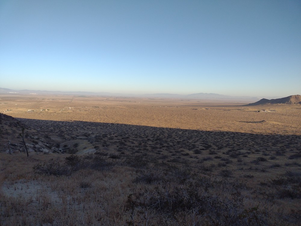
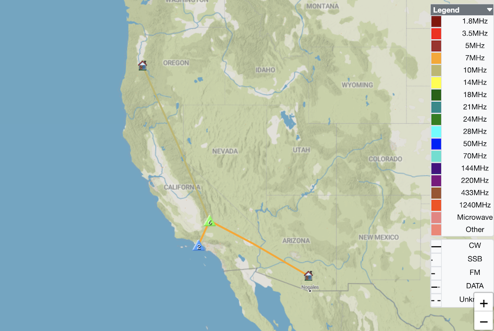
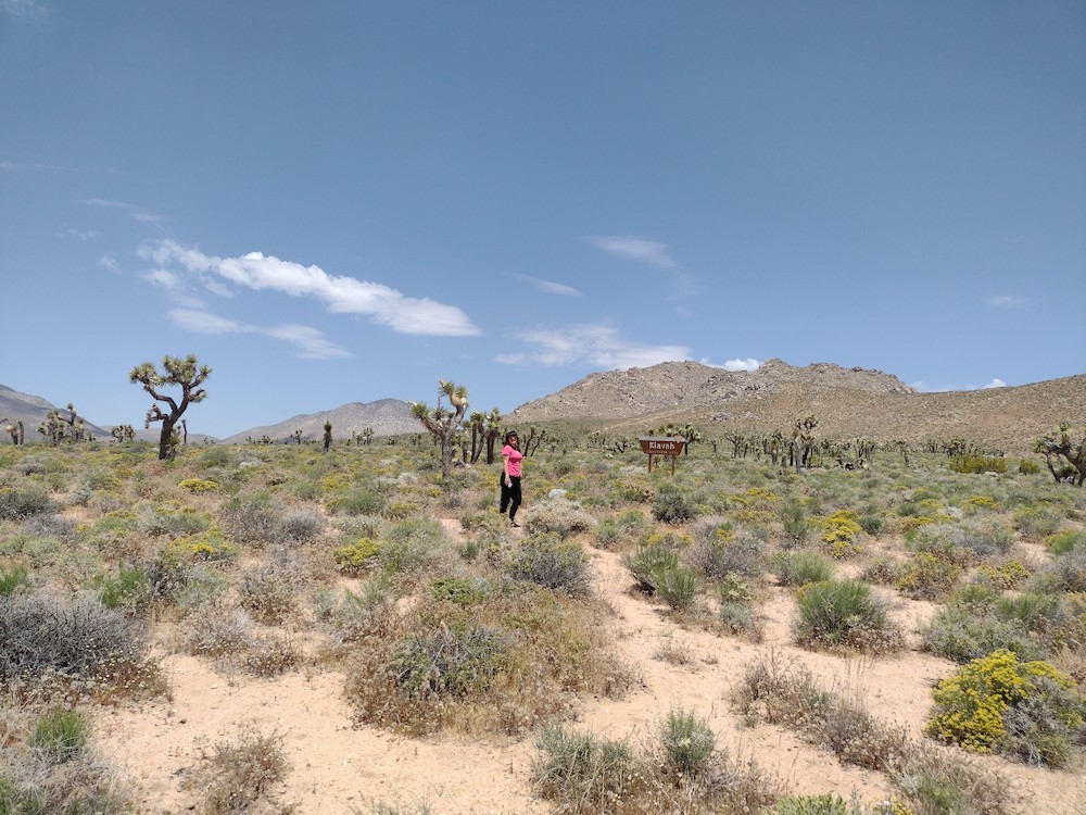
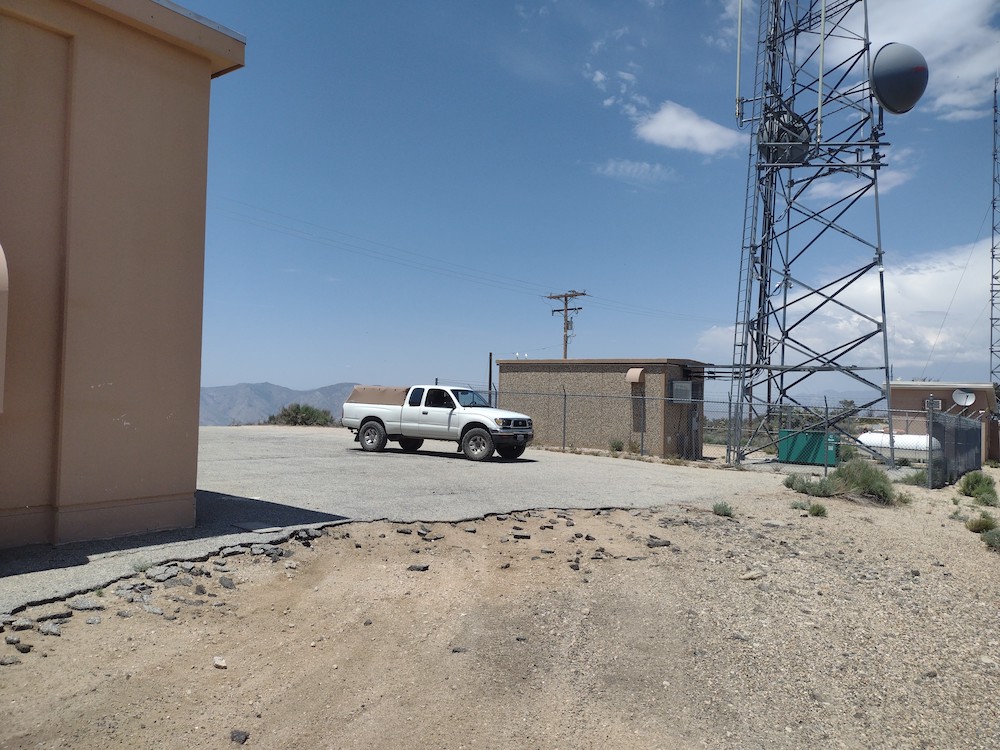
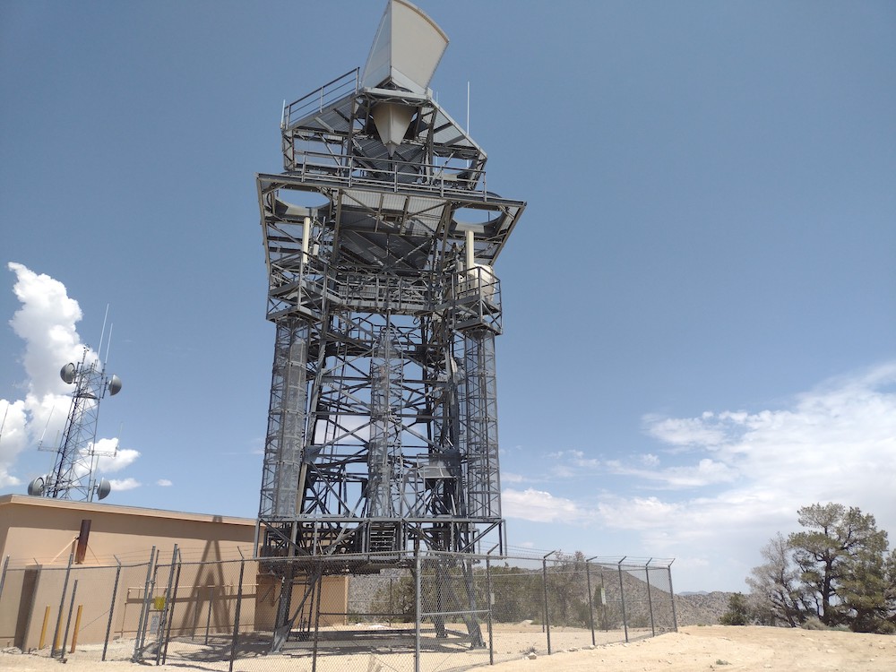
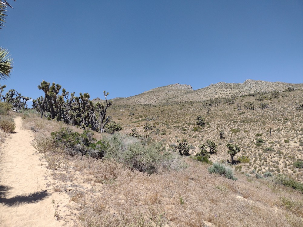
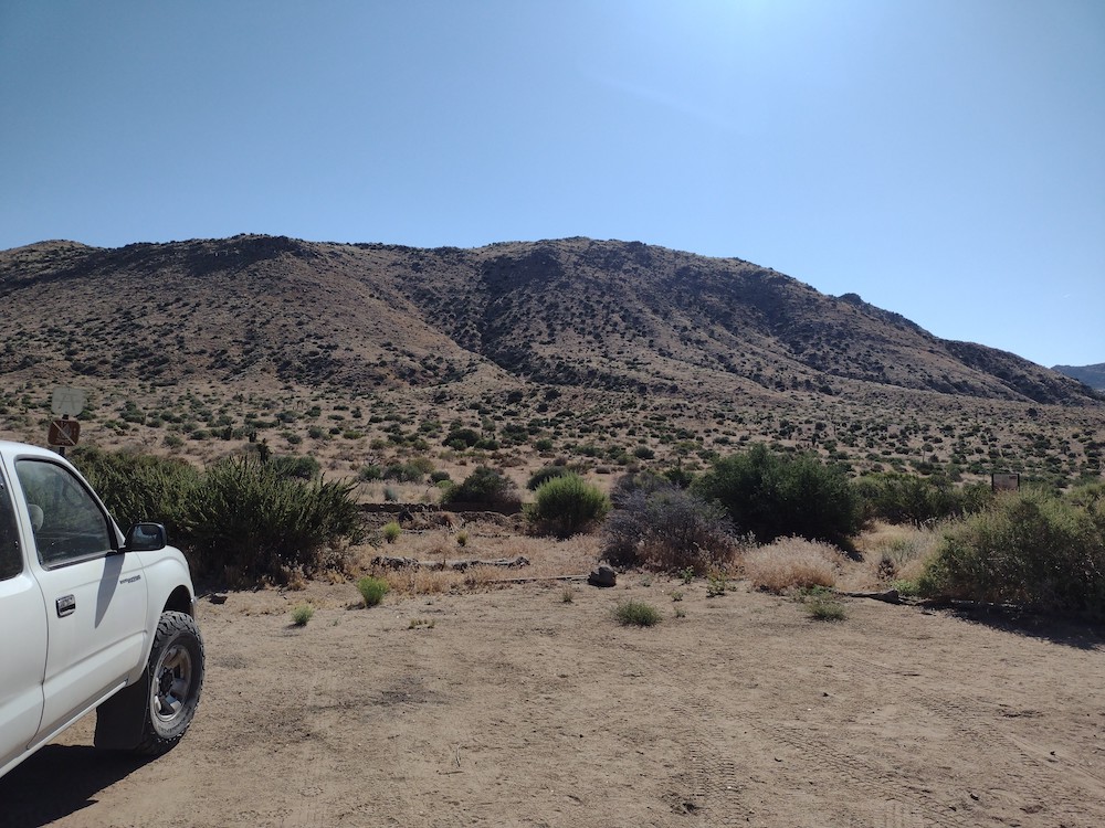
I set out from my home in Los Angeles to activate three buttes in the Antelope Valley area. Lovejoy was the first of the day. Of course, I can never get out of the house at a reasonable time so I arrived around noon to my starting point on 145th Street East. It was hotter than I expected but I have a large golf umbrella for days like this, and it proved absolutely critical for both the hike and activation. You can make out a faint use trail up to the summit from the road, and accessing that trail requires navigating various moto trails, deep soft sand, and piles of dumped construction materials. Closer to the top is a faint use trail which goes to the summit. Worked 2M, 40M, 30M CW with a S2S on each band. Worked 20M CW with zero contacts which surprised me. The hike was under two miles but I drank two liters of water. Back at the car I had a snack and more water before heading over to the next butte.

https://sotl.as/summits/W6/ND-323

Date:11/09/2022 | Summit:W6/ND-323 (Lovejoy Buttes)
TimeCallsignBandModeNotes
20:33KB6WWI144MHzFMS56 R53
20:45KN6TMT144MHzFMS59 R59 S2S W6/SD-141
20:51NT6E7MHzCWS58N R52N
20:52KE6MT7MHzCWS57N R55N
20:54K6HPX7MHzCWS58N R51N
20:56KR7RK7MHzCWS56N R55N
20:57WA7JTM7MHzCWS57N R54N
21:08KD0YOB10MHzCWS33N R33N S2S W0C/PR-093
21:11AF7M10MHzCWS58N R55N
21:14KN6EZE10MHzCWS58N R5NN S2S W6/ND-241
21:16KF6HI10MHzCWS579 R549
21:18W7DLZ10MHzCWS55N R54N
21:19AC1Z/010MHzCWS52N R33N
21:21N7MQ10MHzCWS56N R52N

W6/CT-009 – Butler Peak

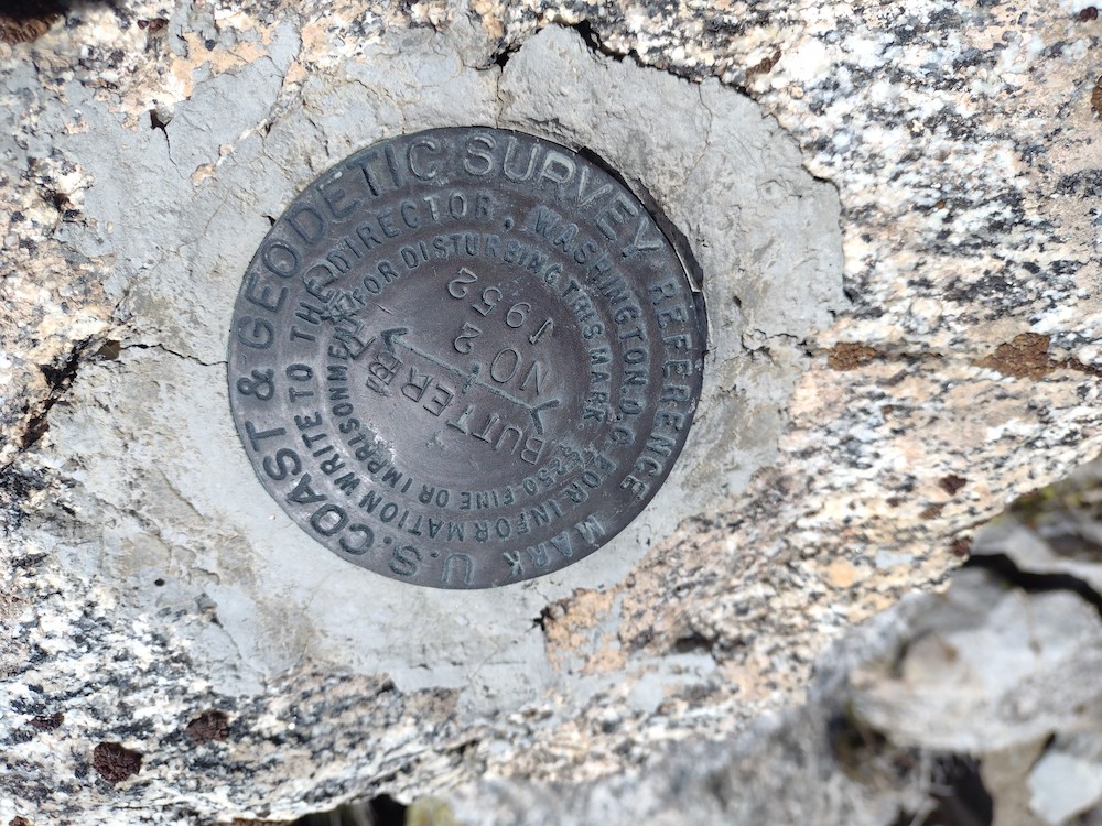
The road up to Butler Peak was closed for several years due to a washout, however, repairs were made and the road opened July 4th. I drove my low clearance commuter car from Rim Of The World to Forest Road 2N13, and parked near the gate up to Butler. Hiking up to the summit was enjoyable and offered views not normally seen in the San Gabriel mountain range. Once at the top, the fire lookout volunteer invited me up to the tower for a tour and mentioned I was the only hiker of the day and that everyone else arrived via off-road vehicle. After the tour I climbed around on the rocks just below the tower in search for a place to setup the radio. There isn’t much usable room but I found a place I could put my endfed wire between two rocks. Since I brought my Yaesu 817 I decided to start on 70cm CW, which got me one contact. Moving to 2M FM only got me an additional contact. Moving to HF afforded me the contacts needed to get points. I made it down the mountain and back to the paved road right when it was starting to get dark. Perfect timing!

https://sotl.as/summits/W6/CT-009

Date:20/08/2022 | Summit:W6/CT-009 (Butler Peak)
TimeCallsignBandModeNotes
00:08NT6E433MHzCWS599 R529
00:22KI6SLA144MHzFMS57 R55
00:45WA6KYR7MHzCWS58N R58N
00:46KE6MT7MHzCWS57N R559
00:47WW7D7MHzCWS52N R31N
00:51K6TUY7MHzCWS51N R58N
01:01W6TDX14MHzCWS58N R57N
01:03AK5SD14MHzCWS56N R41N
01:06WW7D14MHzCWS57N R55N

W6/CC-005 – Reyes Peak

Reyes Peak is one I’ve wanted to activate since starting SOTA in 2019, but hadn’t because it’s a pretty far drive from the our home. On a hot July day my wife and I wanted to get out of the house, so we decided to jump in the car and go for a long drive out to the summit trailhead. Getting there took longer than expected due to slow winding roads. Shortly after starting off on the trailhead, the path splits. Go straight there, up a steep embankment. If you make a left turn to will end up at Haddock Mountain. At the summit is a rock formation you can scramble up. You can find evidence of an old fire lookout tower here. I signed the register and setup my HF antenna; worked 40M, 30M, and 20M. No contacts on 30. After getting back to the car we headed over to Rainbow Falls, then eventually over to Ojai for dinner and a beer.

https://sotl.as/summits/W6/CC-005

Normally I would put a .gpx map in this space, but I don’t believe I recorded one!

Date:01/07/2022 | Summit:W6/CC-005 (Reyes Peak)

TimeCallsignBandModeNotes
21:55NT6E7MHzCWS52N R52N
21:56K7EA7MHzCWS55N R33N
21:57K6EL7MHzCWS45N R55N S2S W6/CC-072
22:00KN6EZE7MHzCWS53N R55N
22:06W6LZY7MHzCWS57N R53N
22:07K6YK7MHzCWS57N R55N
22:11N6TE7MHzCWS58N R57N
22:12KE6MT7MHzCWS57N R55N
22:13W7SKH7MHzCWS58N R599
22:13W7CBR7MHzCWS55N R599
22:15K3GX7MHzCWS51N R44N
22:27AC1GE14MHzCWS42N R33N
22:28NS7P14MHzCWS58N R57N
22:28W6TDX14MHzCWS52N R52N
22:34KD7LX14MHzCWS52N R33N

W6/CC-056 – Sandstone Peak

This trip was my first time up Sandstone, but my second attempt. My previous trip to the trail head was met with treacherous winds which kept me from putting efforts into reaching the summit. The hike is typical of those in the Santa Monica Mountains; hot, dry and no shade whatsoever. I brought my hiking umbrella which made things much easier. After about 1.5 miles you will reach the summit and find a plaque honoring Herbert Allen. There I took quite a bit of time to cool down, listening on 2M for any activity. Made a few S2S QSOs. This summit doesn’t have much room to stretch out a long HF antenna, but I made it work by hiking out to a sketchy outcropping. I then realized I forgot the power cable to my HF radio! Doh! I packed up the antenna I just setup and hiked down the trail back to my car.

https://sotl.as/summits/W6/CC-056

Date:22/07/2022 | Summit:W6/CC-056 (Sandstone Peak)

TimeCallsignBandModeNotes
18:56KD7DTS144MHzFMS59 R59 S2S W6/CT-269
18:57KN6PHZ144MHzFMS59 R59 S2S W6/CT-269
19:02NT6E144MHzFMS59 R59
19:04WA6WV144MHzFMS55 R52
19:07KF7NP144MHzFMS22 R44 S2S W6/SC-203
19:37KI6SLA144MHzFMS55 R57

W6/CT-218 – Temescal Peak

I left work a bit earlier than usual one day to for a night activation, my first since starting with SOTA.  Temescal Peak is kinda close to my office so I wouldn’t need to suffer through SoCal traffic so much. I pulled up to an area which looked okay to leave the car, collected my equipment and started to hike up a paved drainage system, at which point I was welcomed by a sign to the Topanga State Park. A cool coastal breeze was welcome as I hiked along. I kept thinking how it would have been a nice on a mountain bike. At the top, I wasted no time to get the antenna setup. The summit is kinda small, so not much room for an EFHW, but that’s what I had so I made it work. Worked 40m, 30m and 20m CW in addition to 2m FM. Made 4 DX contacts on 20M in a row. Maybe I should do night activations more often? Hiking down, by flashlight started to die and I forgot spare cells. Luckily, the moon was bright which was enough to see where I was going. Next time I’m doing this one on a mountain bike.

https://sotl.as/summits/W6/CT-218

I seem to have lost the .gpx track, which would normally go here.

Date:11/05/2022 | Summit:W6/CT-218 (Temescal Peak)

TimeCallsignBandModeNotes
03:23NT6E7MHzCWS55N R599
03:25KJ7LLS7MHzCWS52N R55N
03:26AC2WU7MHzCWS52N R42N
03:27AI6XG7MHzCWS56N R33N
03:28W6LOR7MHzCWS599 R57N
03:29K6EL7MHzCWS42N R55N
03:31W9SSN7MHzCWS599 R55N
03:38WE0Q10MHzCWS52N R57N
03:41KI7QEK10MHzCWS52N R55N
03:43N0DET10MHzCWS42N R42N
03:44WW7D10MHzCWS599 R42N
03:45AF7M10MHzCWS53N R55N
03:58KM6UHU144MHzFMS59+ R59
04:23KG6MZS144MHzFMS59+ R59
04:29KI6SLA144MHzFMS59 R59
04:37F4WBN14MHzCWS559 R599
04:39ZL1TM14MHzCWS42N R52N
04:41SA4BLM14MHzCWS33N R33N
04:45JH1MXV14MHzCWS42N R31N
04:46NT6E14MHzCWS599 R55N
04:59WA6WV144MHzFMS59+ R59
Car park
Santa Monica Bay
Trail

W6/IN-017 and W6/IN-036 – 7900 Loop

I wanted to hike some new terrain, so I mapped out a route through the Cow horns, east of Big Pine. Leaving Los Angeles around 6am got me to Big Pine before noon, where I bought some drinks and ice for the cooler before heading over to Death Valley Road. There is no actual trail that I could find. I started hiking up a wash, which had various levels and looked as if it would be a waterfall in times of rain. This was too sketchy for me, so I tried to get as much elevation as possible instead by climbing out of the steep wash through loose soil. It was starting to get hot, but I brought a giant golf umbrella to provide shade and offer relief. After hiking for about 45 minutes I found the ridge line and headed straight to the summit. Once there I looked for a register, or a geo marker, but didn’t find anything. Worked 20,30, 40M CW. Wanting to activate the neighboring summit, I packed the station up and headed over……

https://sotl.as/summits/W6/IN-017

Date:02/06/2022 | Summit:W6/IN-017 (7900)

TimeCallsignBandModeNotes
20:22K6HPX7MHzCWS55N R53N
20:25W7SKH7MHzCWS53N R55N
20:26WB6POT7MHzCWS57N R57N
20:27W7CBR7MHzCWS55N R55N
20:28N7CW7MHzCWS52N R53N
20:29K7EA7MHzCWS55N R55N
20:29W6JP7MHzCWS52N R51N
20:30NT6E7MHzCWS57N R53N
20:33K6QCB7MHzCWS55N R42N
20:43K7SO10MHzCWS52N R55N
20:44NS7P10MHzCWS57N R55N
20:45AF7M10MHzCWS52N R55N
20:48AC7P10MHzCWS42N R33N
20:57AK5SD14MHzCWS52N R42N
20:58K9WO14MHzCWS51N R44N
21:00W4JM14MHzCWS33N R33N
21:02AF7M14MHzCWS55N R55N

Death Valley Road
Hiking up dry waterfalls
I gave up trying to follow this path and hiked straight to the left
Up the hill…..
A nice Joshua tree with W6/IN-036 in the background
First view of the summit
At the top, zero shade

The route I took over to W6/IN-036 was steep, and at one point I was questioning myself why I do things like this. It was hot, the ground under me was loose and I was consistently slipping. There are several nice shady trees on the ridge which offered additional shade. These trees felt a bit out of place as the whole journey thus far had seemed to be a bit treeless. Once at the summit, I looked around for any markers, or even a register but found nothing. Feeling fatigued, I setup my station and spotted myself on APRS. At 00:00 I shut the station down and headed back to the car. Going down was also steep and I only slipped once. I’d like to come back to these summits on a cooler day, and maybe place a register, and hopefully find a less steep route.

https://sotl.as/summits/W6/IN-036

Date:02/06/2022 | Summit:W6/IN-036 (7900)

TIMECALLSIGNBANDMODENOTES
23:05NS7P7MHzCWS52N R44N
23:06K6QCB7MHzCWS55N R53N
23:08WA7JTM7MHzCWS57N R55N
23:08W6QX7MHzCWS58N R55N
23:11W7DLZ7MHzCWS56N R22N
23:14NT6E7MHzCWS58N R55N
23:16N6IZ7MHzCWS52N R33N
23:27N7CNH10MHzCWS51N R53N
23:30N7WI10MHzCWS57N R55N
23:45VE7HI14MHzCWS42N R33N
23:47AC7P14MHzCWS42N R33N
23:49W9APS14MHzCWS33N R599
Looking up at W6/IN-036
Hiking in a wash
Going up was much steeper than I expected
Trees along the ridge line
Summit is up there
Station
Heading down the ridge
Back at the car, boots off, ice cold cantaloupe.


W6/IN-014 – 8500

After waking up at camp in Big Pine, having a small breakfast and packing up all the camping gear, I headed back out to Death Valley Road to hike the summit of 8500, or Papoose Point, as I’ve seen it named elsewhere. It was quiet except for a few singing birds, and the air was mostly still, only disrupted by low flying F35 jets ripping through the canyons. I started hiking up the two track road, then eventually making a 90-ish degree turn straight up the mountain, over a ridge, down into a valley, then back up another ridge. This was unexpected and perhaps I could have found a different route. Once at the top, I found the summit register and signed it. There is enough room to stretch out a antenna. Not much natural shade at the actual summit, but there are trees just below to take refuge from the sun if needed. Worked 40m, 30m, and 20m CW. Two jets flying below the summit were so close I could almost see inside the cockpit, and so loud I couldn’t hear myself think. I’d love to take a ride in one! I took a different route hiking down which was steeper with more rocks, but more direct. Back at the car the temperature had really risen, so I was happy to turn on the A/C and cool down.

https://sotl.as/summits/W6/IN-014

Date:03/06/2022 | Summit:W6/IN-014 (8500)

TimeCallsignBandModeNotes
17:29NT6E7MHzCWS58N R52N
17:31K6EL7MHzCWS529 R559
17:31WA6KYR7MHzCWS57N R56N
17:32W7HO7MHzCWS55N R33N
17:34WB6POT7MHzCWS52N R33N
17:37N7CNH7MHzCWS56N R54N
17:37K6HPX7MHzCWS58N R53N
17:48KB7HH10MHzCWS52N R54N
17:51WW7D10MHzCWS52N R43N
17:56N1SMB10MHzCWS2S W0C/SC-074 S33N R57N
17:59K7SO10MHzCWS51N R54N
18:00KR7RK10MHzCWS51N R53N
18:02N6JZT10MHzCWS51N R53N
18:03K6QCB10MHzCWS57N R53N
18:07N6PKT10MHzCWS53N R52N
18:11K6TUY10MHzCWS55N R55N
18:29NS7P14MHzCWS55N R55N
18:31WB7BWZ14MHzCWS52N R57N
18:33KX6I14MHzCWS2S W6/SC-460 S52N R55N
18:34W2NC14MHzCWS55N R55N
18:36WA6GFE14MHzCWS52N R55N
18:37KG6OKI14MHzCWS44N R42N
Looking back at the car below
I hate Mylar balloons
Trek up
The summit is past the next ridge
Typical views
This guy has a great blog
AD6VT and W6RT
KI7ADV
K6STR/ W6LOR
Hiking down

W6/CC-003 – Frazier Mountain

This was my third time attempting to activate Frazier Mountain, but this time I found success. The first time I wanted to drive to the top, but my small commuter car with low profile tires was not the correct vehicle for the task. I returned 6 months later with a mountain bike, but deep snow stopped me a few miles up the road. This time, I drove the commuter car a mile or so up Frazier Mountain Road until it got too rocky, parked on the edge of the road and hiked the rest of the way, which was a bit further than I thought! At the top, I pulled out my HT and immediately heard N6JZT for a quick S2S. After, I used 23cm for one microwave QSO, which I believe was just over 100km, my furthest. I then worked 40m, 30m, and 20m CW for additional contacts. I wanted to activate a few other summits in the area, so I packed everything down and headed down to the car.

https://sotl.as/summits/W6/CC-003

Date:07/07/2022 | Summit:W6/CC-003 (Frazier Mountain

TimeCallsignBandModeNotes
21:36N6JZT144MHzFMS45 R55 S2S W6/CT-014
21:37KK6TDU144MHzFMS45 R59
21:38KI6SLA144MHzFMS45 R59
21:49NT6E1240MHzFM%QRA%DM03TU% S51 R51
21:59W7RV7MHzCWS55N R53N
22:00K6YK7MHzCWS57N R58N
22:01K6EL7MHzCWS53N R55N S2S W6/NC-423
22:02KF6HI7MHzCWS58N R54N
22:03N7CW7MHzCWS53N R55N
22:03KR7RK7MHzCWS55N R54N
22:04AF7M7MHzCWS56N R55N
22:06KB7HH7MHzCWS33N R53N
22:07W6TDX7MHzCWS53N R55N
22:09K6STR7MHzCWS57N R55N
22:22N7PHI10MHzCWS33N R53N
22:24K6HPX10MHzCWS57N R53N
22:26N6JZT10MHzCWS58N R599 S2S W6/CT-014
22:40N0IPA14MHzCWS32N R55N
Not a great idea
We can’t have nice things. 🙁
A sign!
Another sign!
Typical views
Water! There were several deer hanging out here on my way down. I felt bad for disturbing them.
Sign
RF Equipment
The old fire lookout tower

W6/IN-048 – 5213

This was the last summit of four I activated on a solo camping trip in Lone Pine, and my third climb of the day.  At this point, the temperature was quite warm, and the wind was starting to get a bit unruly.  I parked the car right off Movie Road and started hiking up to the summit.  Once there I used the EFHW, which was tough to wrangle in the wind.  The golf umbrella I used for shade was useless in these conditions.  Worked 20,30, 40M CW and got back down to the car as quickly as I could.

https://sotl.as/summits/W6/IN-048

Date:08/04/2022 | Summit:W6/IN-048 (5213)

Time Callsign Band Mode Notes
20:42 N8FN 7MHz CW S58N R55N
20:43 N6TEM 7MHz CW S54N R52N
20:44 KR7RK 7MHz CW S55N R33N
20:44 K6LDQ 7MHz CW S58N R52N
20:46 W7CBR 7MHz CW S52N R599
20:47 K6EL 7MHz CW S52N R55N S2S W6/NC-423
20:47 NS7P 7MHz CW S589 R54N
20:49 AJ6KZ 7MHz CW S58N R54N S2S W6/CT-015
20:51 K6TUY 7MHz CW S579 R56N
20:52 W7SKH 7MHz CW S559 R599
20:54 N6PKT 7MHz CW S42N R52N
20:56 K6QCB 7MHz CW S53N R53N
21:05 WA6LE 10MHz CW S559 R58N S2S W6/ND-144
21:08 KN6FNY 10MHz CW S58N R55N
21:10 WW7D 10MHz CW S52N R33N
21:11 WU7H 10MHz CW S42N R22N
21:13 AG6ZE 10MHz CW S57N R55N
21:14 AI6QZ 10MHz CW S57N R55N
21:20 KE6IWM 144MHz FM S59 R59
21:26 F4WBN 14MHz CW S44N R599
21:28 AC7P 14MHz CW S52N R44N
21:29 WA2USA 14MHz CW S529 R459
21:30 N0IPA 14MHz CW S44N R42N
21:31 KF9D 14MHz CW S52N R52N
21:33 W9VNE 14MHz CW S42N R44N
21:36 N5JST 14MHz CW S42N R55N
21:38 AI5EZ 14MHz CW S53N R55N
21:40 N7ZQ 14MHz CW S53N R55N


W6/IN-045 – 5396

This was my first summit in a series of four while solo camping in Lone Pine.  I had just drove up from Los Angeles, found a place to camp, setup my tent, relaxed a bit, then headed over to W6/IN-046, also known as “Rattlesnake Hill”.  There was no apparent trail to the summit, so I parked my car in a small clearing and just headed up the mountain, watching out for rattle snakes on my way.  Once the steep part was out of the way I picked up what looked like a use-trail and followed it up the the geographical summit.  Used a vertical and worked 20M.  One contact on 2M with a local who told me to watch out for snakes.  When heading down, I picked up on a much better trail.  I’ll take this way up next time.

https://sotl.as/summits/W6/IN-045

Date:07/04/2022 | Summit:W6/IN-045 (5396)

Time Callsign Band Mode Notes
21:35 AC7P 14MHz CW S559 R559
21:36 W4KRN 14MHz CW S57N R44N
21:38 N0IPA 14MHz CW S33N R42N
21:43 KF9D 14MHz CW S55N R55N
21:44 W0RLY 14MHz CW S57N R57N
21:46 VE7HI 14MHz CW S57N R33N
21:47 WG0AT 14MHz CW S33N R54N
21:52 W5BOS 14MHz CW S599 R55N
21:54 WV0Q 14MHz CW S55N R53N
21:55 NU7A 14MHz CW S54N R33N
21:58 WX1S 14MHz CW S52N R55N
22:01 KD6TLE 144MHz FM S59 R59

Use-Trail