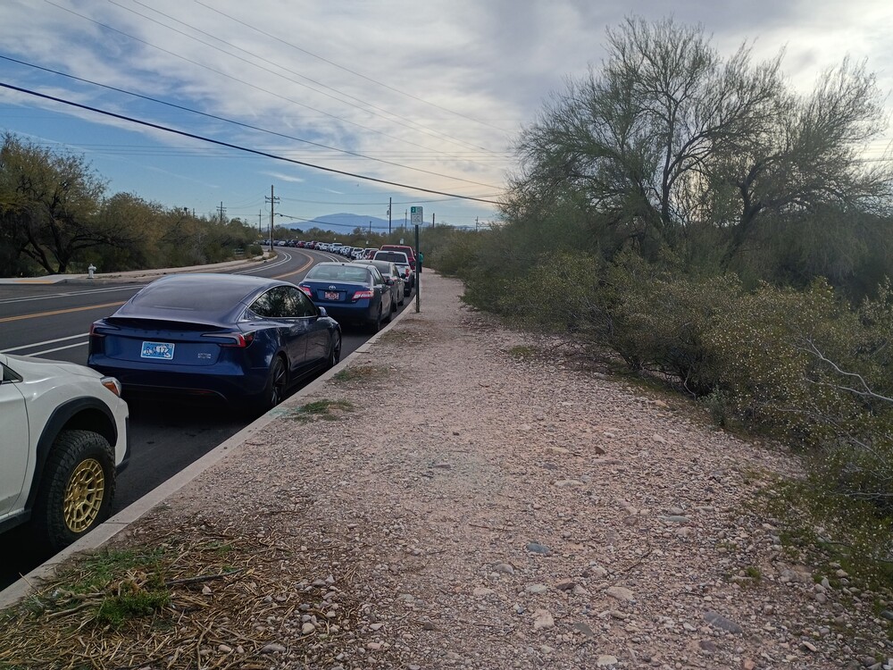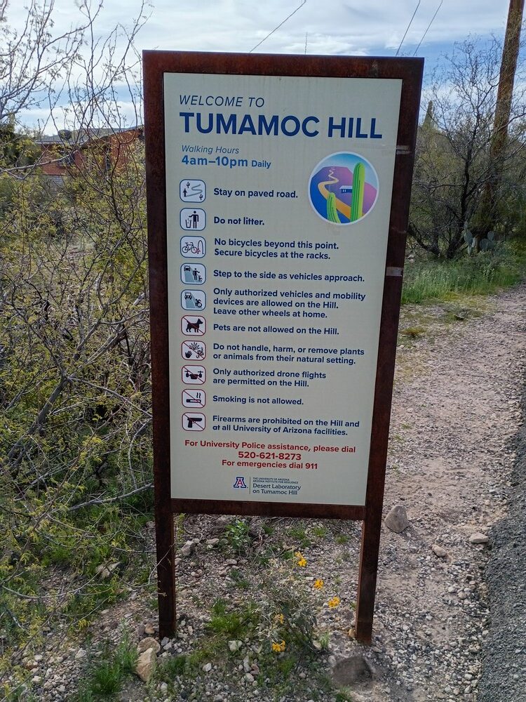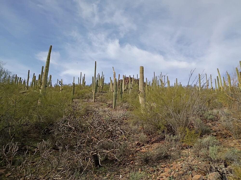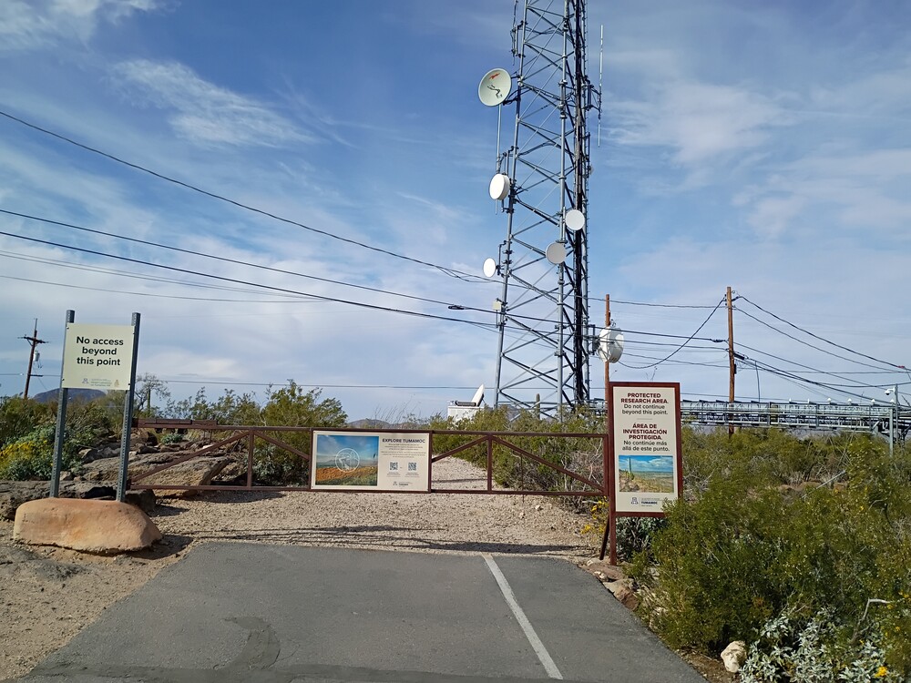
If you are a regular reader of this blog you would notice that this post lacks a quick video from the top of the summit. That’s because I forgot to record one. Tumamoc Hill is close to downtown Tucson, and it would have been a nice bike ride to the trailhead from where we was staying in Iron Horse. There is no cycling allowed on the trail up, but a rack to lock up is available at the bottom. Not knowing this, Kel and I drove there and parked along West Akalam Road. Turns out this is a very popular place to walk! It was packed! The trail up is completely paved, weaving through the flora. There is some kind of research center halfway up which had some fun things to look at,
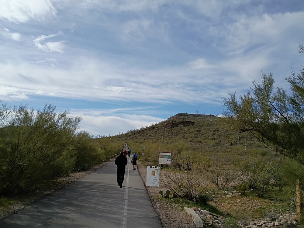
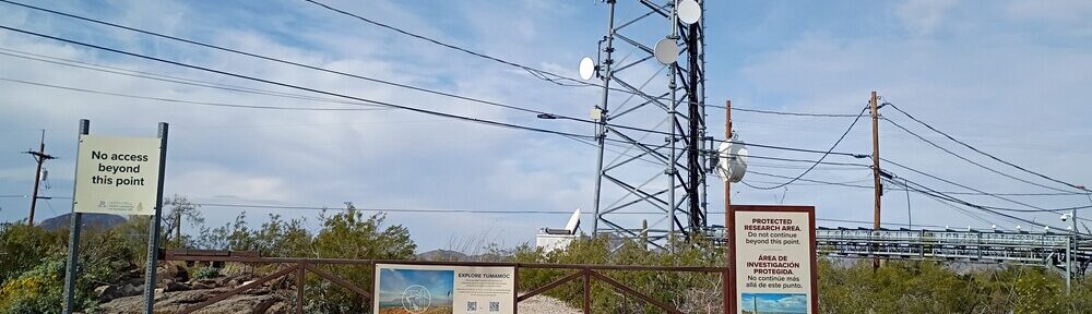
At the top is a commercial communications installation with no access to the actual summit, however, a big chunk of the public path is in the activation zone. I didn’t follow KK1J’s advise and ask permission to operate from Benjamin T. Wilder, Director. I could see how putting up a 40M antenna up here would be frowned upon due to the congestion of visitors. As such, I sat on a rock in the AZ and used my KH1 and internal whip to activate the summit, working 40M and 15M CW. I also called out on 2M FM, multiple times and got zero calls, which was surprising.
https://sotl.as/summits/W7A/AW-057
Total climbing: 719 ft
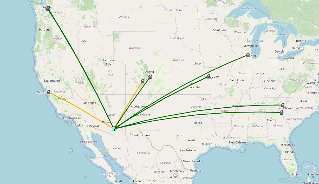
Date:05/02/2026 | Summit:W7A/AW-057 (Tumamoc Hill)
| Time | Callsign | Band | Mode | Distance (km) | Notes |
|---|---|---|---|---|---|
| 17:20 | W0BV | 7MHz | CW | S57N R55N | |
| 17:21 | WB6POT | 7MHz | CW | S58N R44N | |
| 17:31 | W0MNA | 18MHz | CW | S58N R57N | |
| 17:31 | N0IPA | 18MHz | CW | S55N R55N | |
| 17:32 | W0ERI | 18MHz | CW | S58N R57N | |
| 17:32 | WW7D | 18MHz | CW | S55N R54N | |
| 17:33 | KF9D | 18MHz | CW | S55N R53N | |
| 17:34 | W4JKC | 18MHz | CW | S53N R55N | |
| 17:35 | WU7H | 18MHz | CW | S51N R53N | |
| 17:36 | N4TU | 18MHz | CW | S55N R42N |