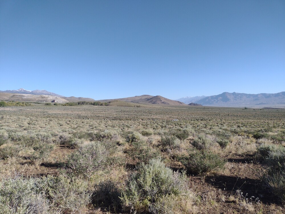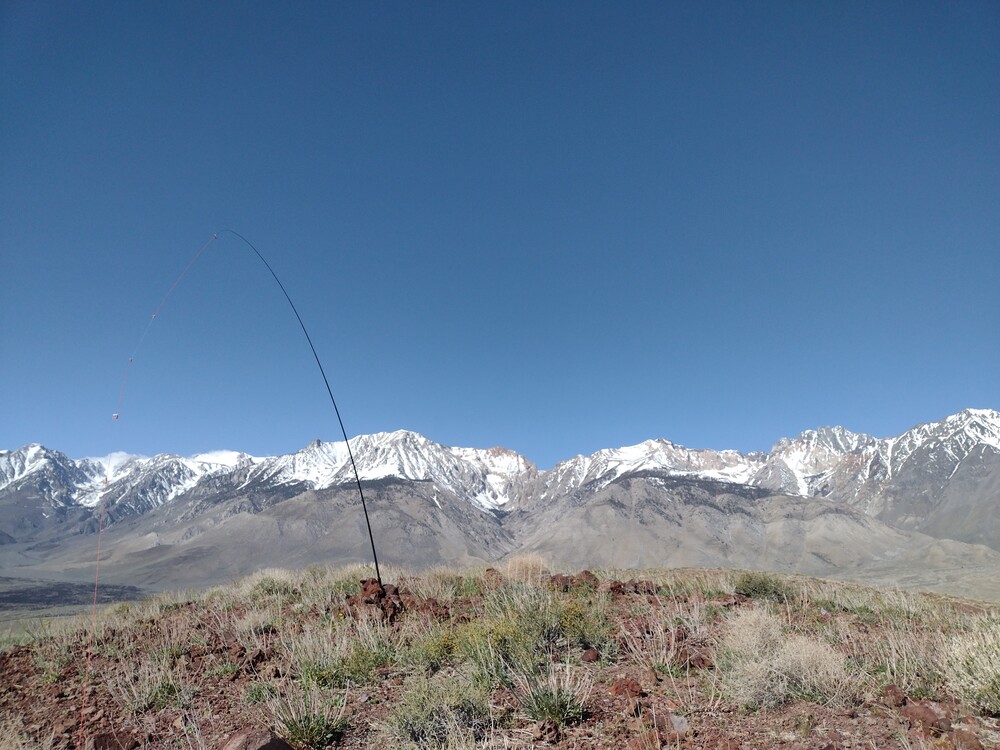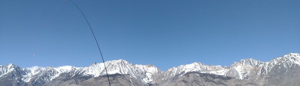
I woke up early in the morning at Tinemaha Creek campground, made some hot water, dumped in a tablespoon of instant coffee, gave it a stir, and drove the truck straight to Red Mountain. The air was cold and brisk with a slight breeze. It took longer to get to Red Mountain than I anticipated. There are several dirt roads which one could take but many were washed out or simply dead ended. I’m assuming there is a “main” road to bypass my adventure but I didn’t find it. Eventually I landed on a spot that looked like a promising location to start.
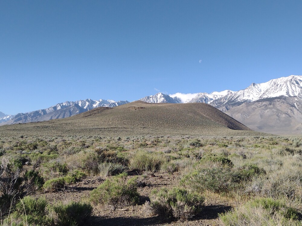
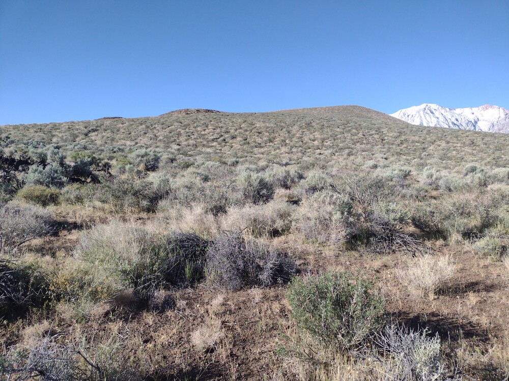
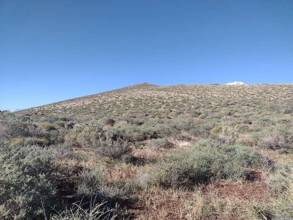
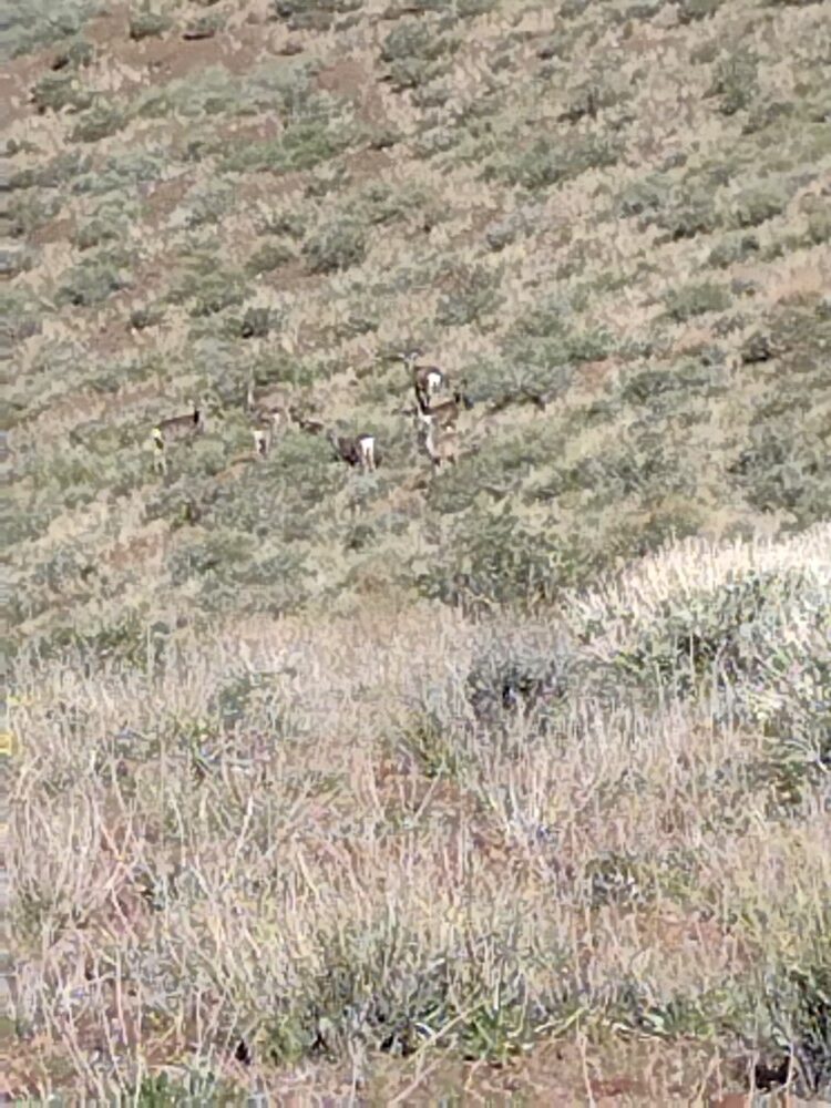
After slathering on sunscreen and chugging the remainder of my coffee, I started hiking up. Red Mountain is really a cinder cone and part of the Big Pines Volcanic Field. I’ve read it sits right above an active fault line. Loose, red basalt makes up most of the ground. There is no trail and vegetation is thick in some places, but easy to navigate around. At the top, the wind was really blowing. Luckily I was able to find shelter in a small hole at the top, perhaps left from a prospector? Worked 20 CW and hiked down. While hiking around the rim of the cone I noticed a group of mule deer chillin’ in the center. Overall, fun hike if you’re in the area.
https://sotl.as/summits/W6/IN-049
Total climbing: 764 ft
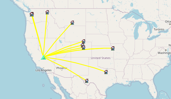
Date:18/04/2025 | Summit:W6/IN-049 (Red Mountain)
| Time | Callsign | Band | Mode | Notes |
|---|---|---|---|---|
| 15:39 | W6RT | 144MHz | FM | S59 R59 |
| 15:54 | JG0AWE | 14MHz | CW | S44N R44N |
| 15:55 | W0MNA | 14MHz | CW | S52N R33N |
| 15:55 | WW7D | 14MHz | CW | S55N R53N |
| 15:57 | W0ERI | 14MHz | CW | S52N R33N |
| 15:59 | W5BOS | 14MHz | CW | S57N R53N |
| 16:00 | WU0A | 14MHz | CW | S58N R57N |
| 16:01 | N7WPO | 14MHz | CW | S58N R55N |
| 16:03 | WB7BWZ | 14MHz | CW | S55N R52N |
| 16:04 | WA7BEN | 14MHz | CW | S55N R55N |
| 16:05 | NO2D | 14MHz | CW | S52N R55N |
| 16:06 | KA5PVB | 14MHz | CW | S52N R52N |
| 16:07 | W7TMD | 14MHz | CW | S57N R5NN |
| 16:08 | KK7FIM | 14MHz | CW | S57N R55N |
| 16:09 | WU7H | 14MHz | CW | S58N R55N |
| 16:11 | AG7UW | 14MHz | CW | S52N R55N |