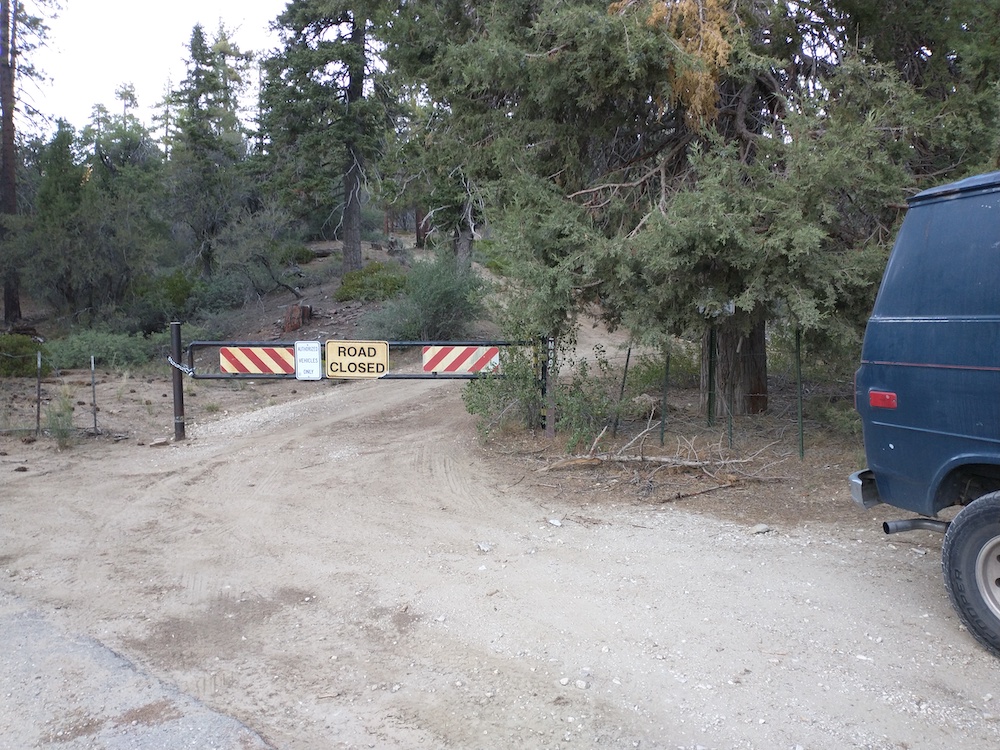
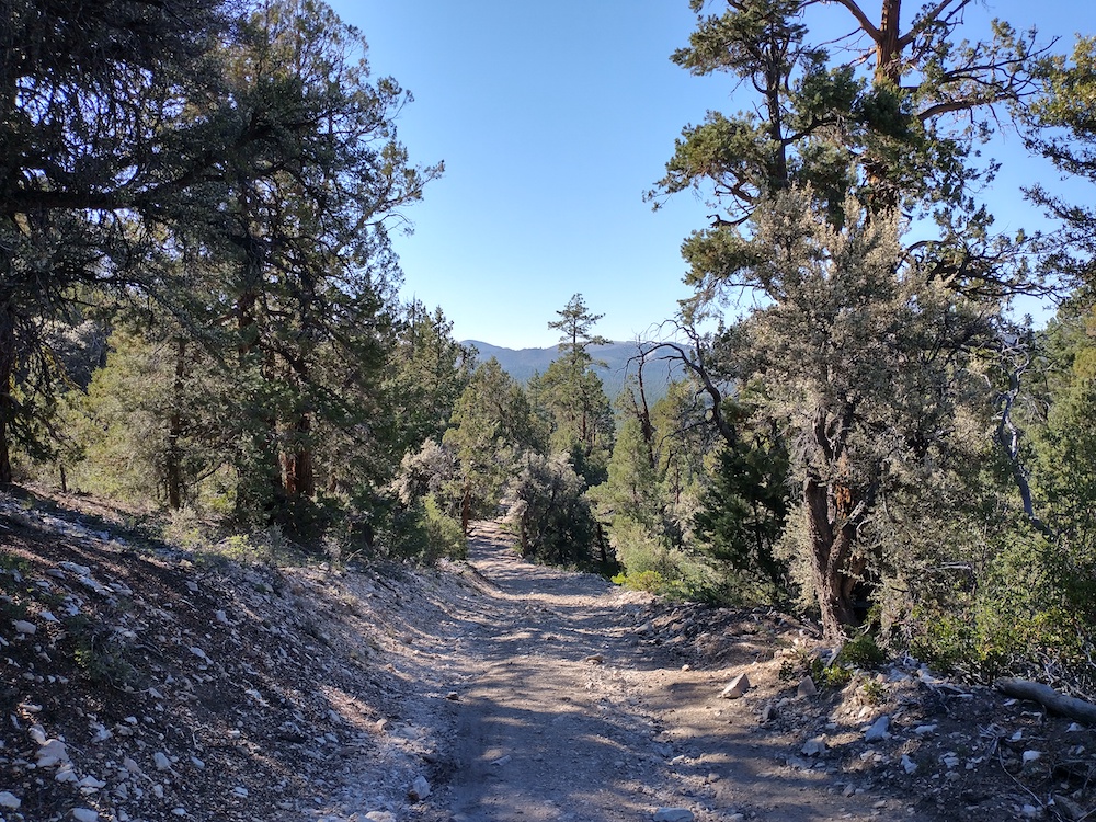
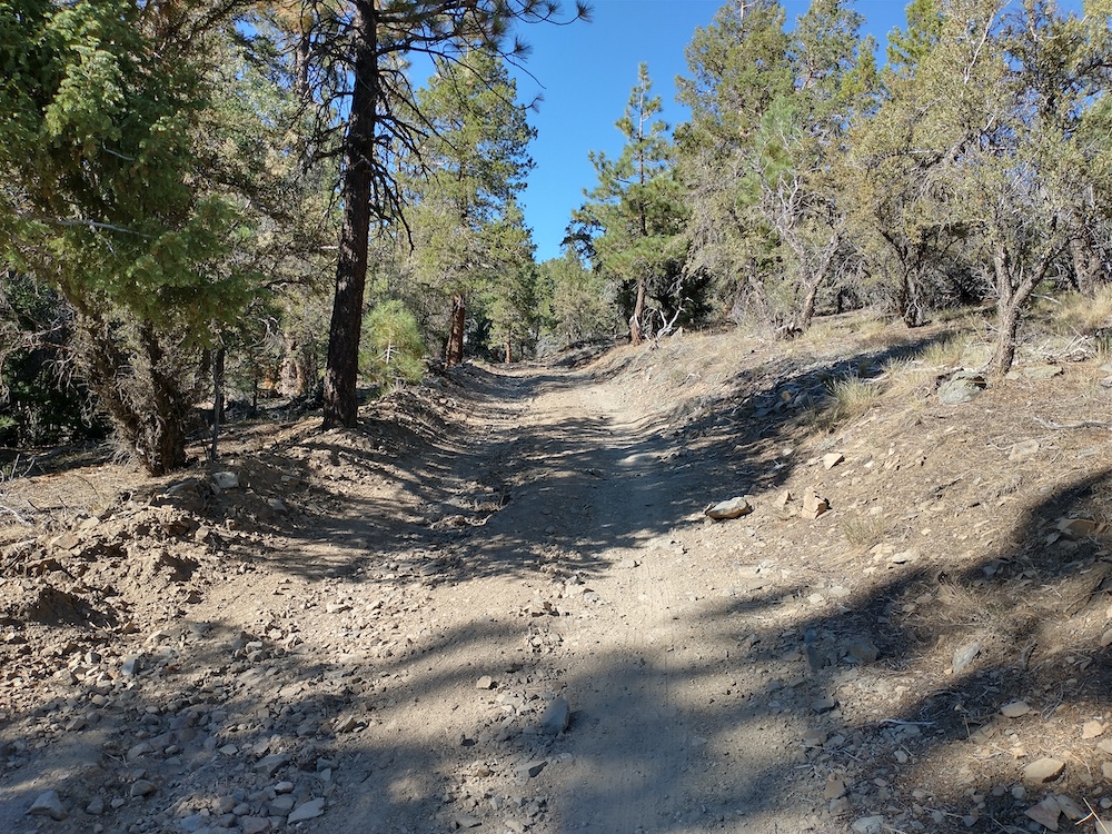
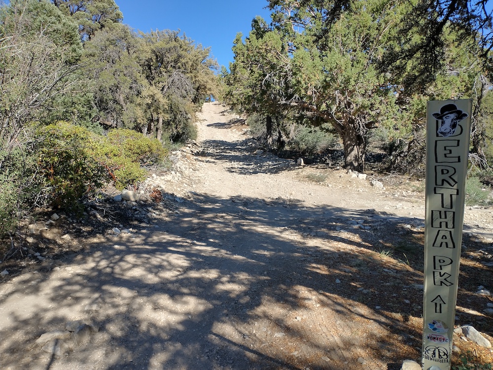
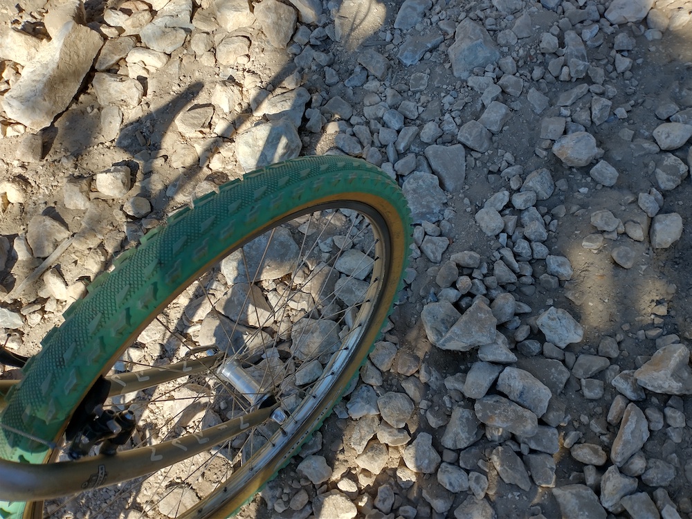
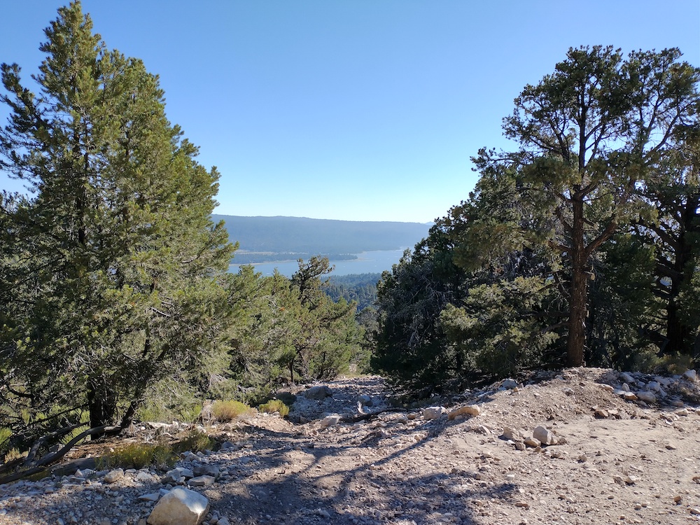
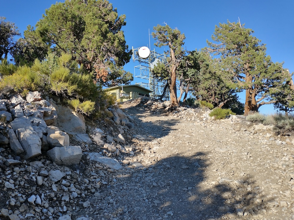
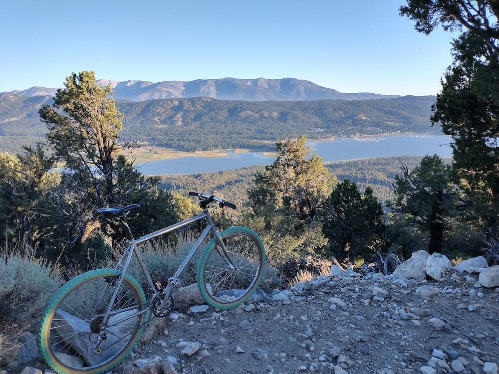
From North Shore Drive near Fawnskin, take 2N09 to roughly 34.28215, -116.91535 – near a gate. I parked my van here and rode a mountain bike most of the way, pushing where it got too steep, or the rocks were too loose to get any meaningful traction. At the top were two radio shelters and various towers. I setup just outside the fence of the highest building. Hearing activity on 2M, I puled out the HT and made a few contacts there, all of whom were camping with the SOTA group. Quickly made several additional contacts on 40m, then packed down the equipment and headed on down the hill before it got too dark.
https://sotl.as/summits/W6/CT-054
Total distance: 2.88 mi
Total climbing: 1396 ft
Download file: BerthaPeak.GPX
Total climbing: 1396 ft
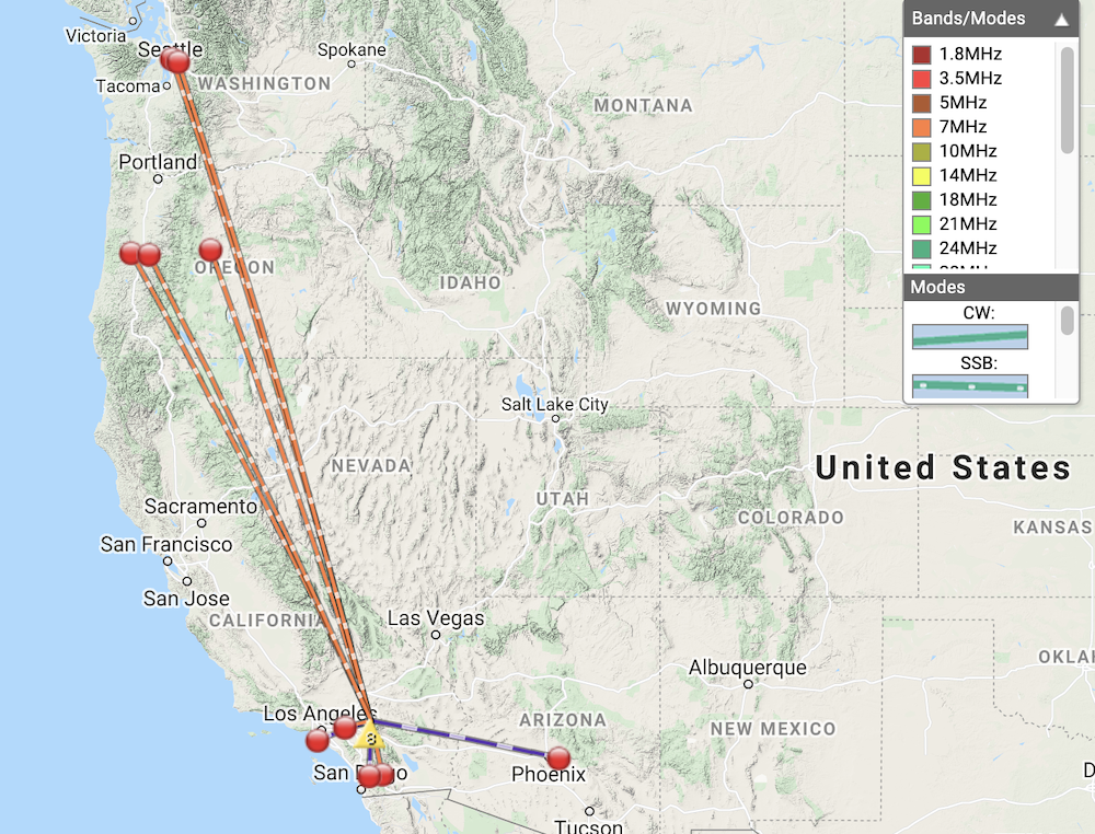
Date:07/08/2021 | Summit:W6/CT-054 (Bertha Peak)
| Time | Callsign | Band | Mode | Notes |
|---|---|---|---|---|
| 00:55 | K6TW | 144MHz | FM | S59 R59 |
| 00:56 | K6ARK | 144MHz | FM | S59 R59 |
| 00:57 | NJ7V | 144MHz | FM | S59 R59 |
| 01:17 | NW7E | 7MHz | SSB | S55 R53 |
| 01:18 | WU7H | 7MHz | SSB | S55 R44 |
| 01:19 | K6QCB | 7MHz | SSB | S48 R32 |
| 01:20 | NS7P | 7MHz | SSB | S45 R44 |
| 01:23 | WW7D | 7MHz | SSB | S52 R42 |
| 01:24 | K6CWC | 7MHz | SSB | S55 R44 |
| 01:25 | W6TDX | 7MHz | SSB | S53 R53 |
