Kel and I spent the weekend in Morro Bay for her birthday where we enjoyed visiting various restaurants and bars, their downtown farmers market, a few beaches, and some fancy coffee spots. We made several return trips to the Grassy Bar Oyster Company, which raise and sell oysters right from Morro Bay. It’s a low brow kinda place and you can BYOB. I like it. There are a few SOTA summits in the area, we did two; First Valencia Peak, then Black Hill the following day, which is very easy and shouldn’t be missed if you’re in the area.
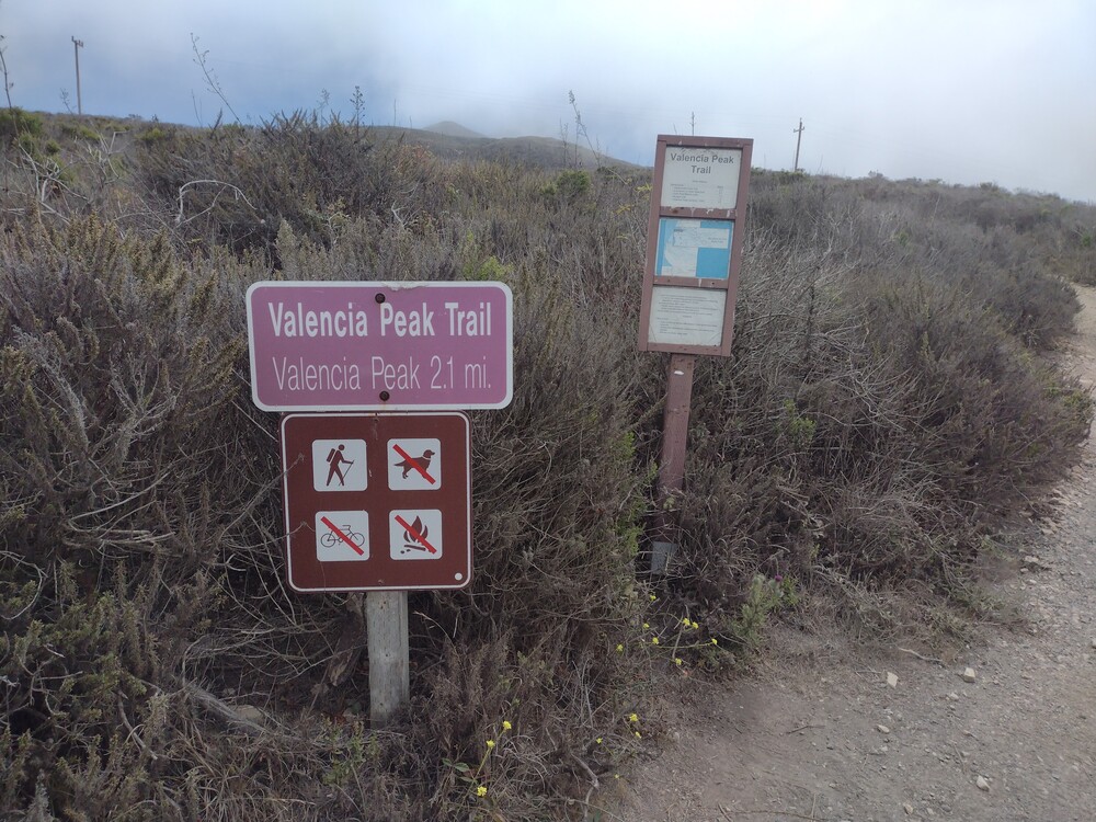
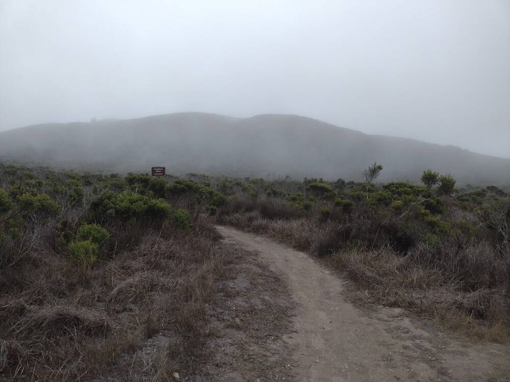
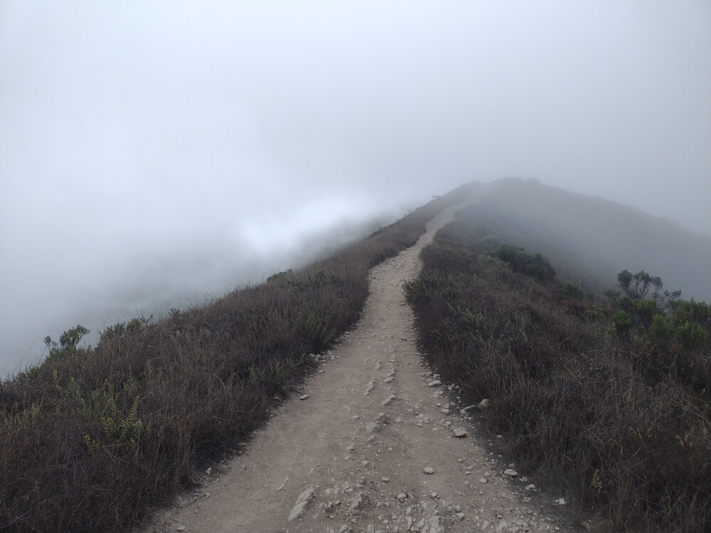
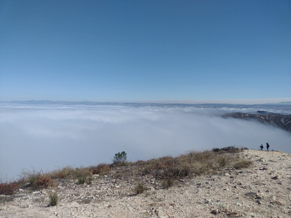
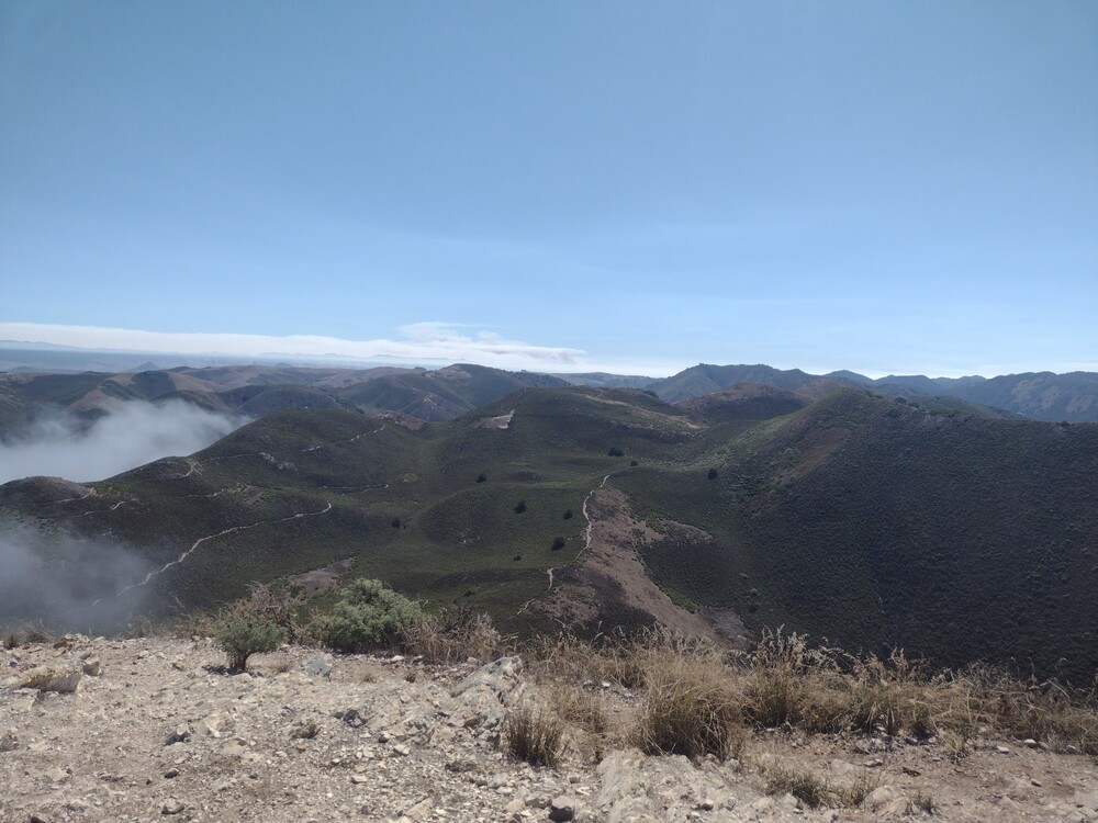
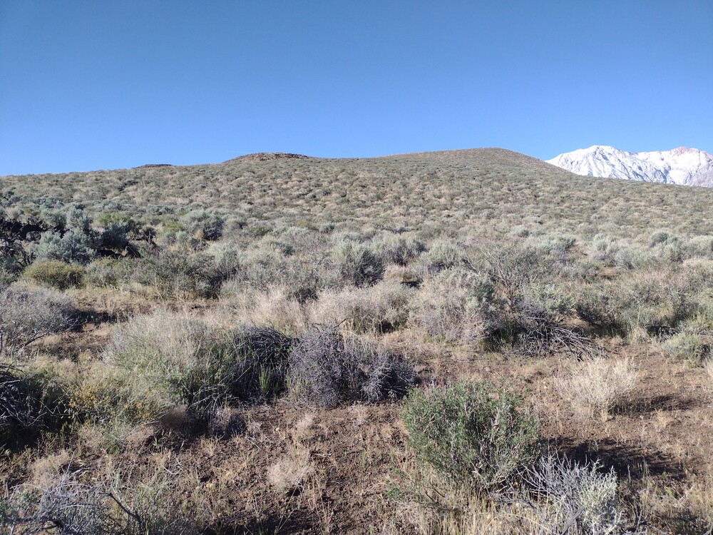
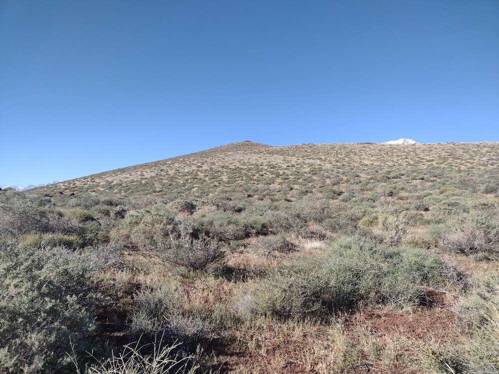
From Morro Bay, we drove north up to Los Osos, found our way to Pecho Valley Road, and eventually the trailhead for Valencia; a nice drive mostly along the coast. It was somewhat early in the morning so heavy fog was in the area. The trailhead was well marked, and the trail was very easy to follow. The hike is a bit over 2 miles one way with 1,200′ of elevation gain. At the top is picnic table with good views to the east. The west was covered in fog still.
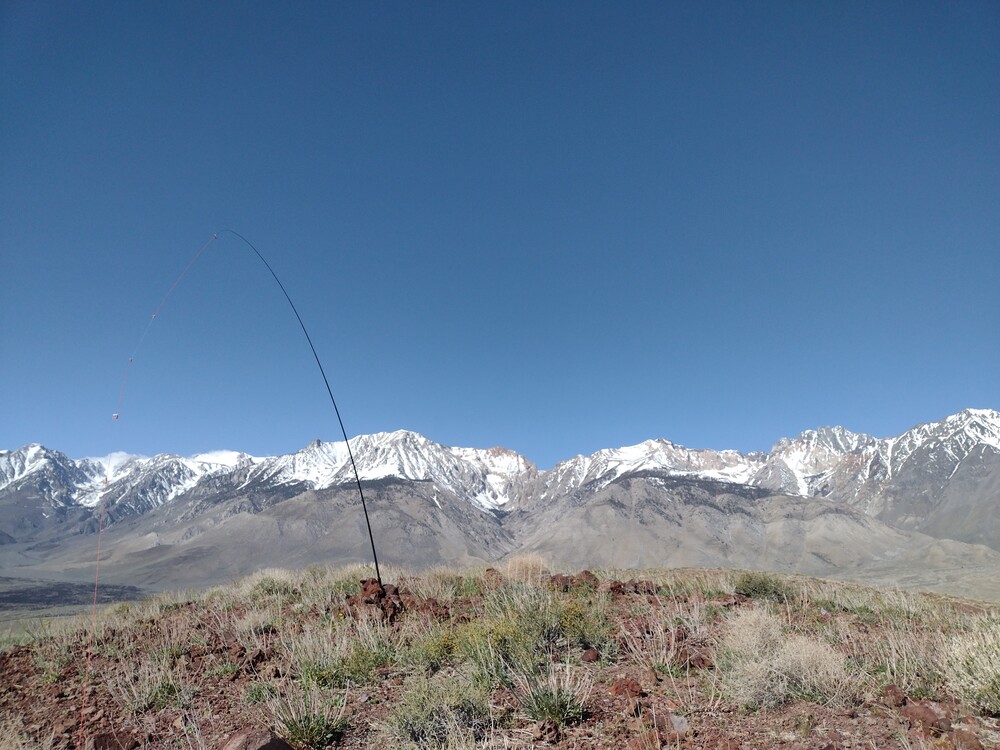
There were several people on the summit enjoying their time, so I didn’t stretch out a long antenna, but instead used the KH1 with internal whip. Conditions felt poor but I managed to get 6 QSOs on 20M, one S2S out in W0C. We were above the fog layer and it was starting to get hot, so after activating, we headed back down to the car and headed to Los Osos for coffee and breakfast.
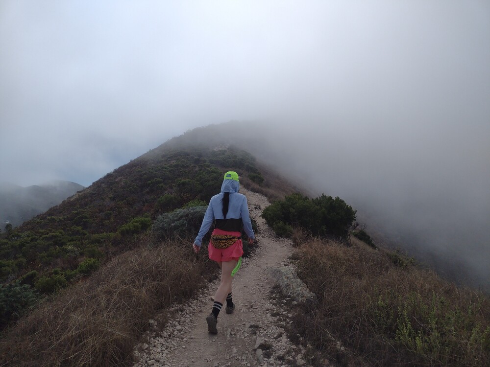
I forgot to take a video at the summit, but here is a short 10 second clip on the way down.
https://sotl.as/summits/W6/SC-353
Total climbing: 1262 ft
Date:09/08/2025 | Summit:W6/SC-353 (Valencia Peak)
| Time | Callsign | Band | Mode | Notes |
|---|---|---|---|---|
| 17:54 | W7DZ | 14MHz | CW | S57N R56N |
| 17:56 | KXOR | 14MHz | CW | S2S W0C/SR-053 S33N R33N |
| 17:57 | KF7PXT | 14MHz | CW | S57N R55N |
| 17:59 | NO2D | 14MHz | CW | S55N R55N |
| 18:00 | K7WA | 14MHz | CW | S58N R55N |
| 18:02 | WB7VTY | 14MHz | CW | S57N R43N |