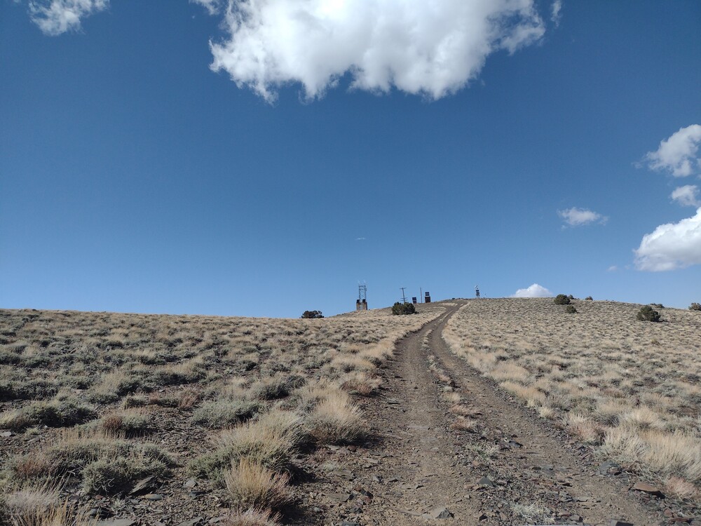
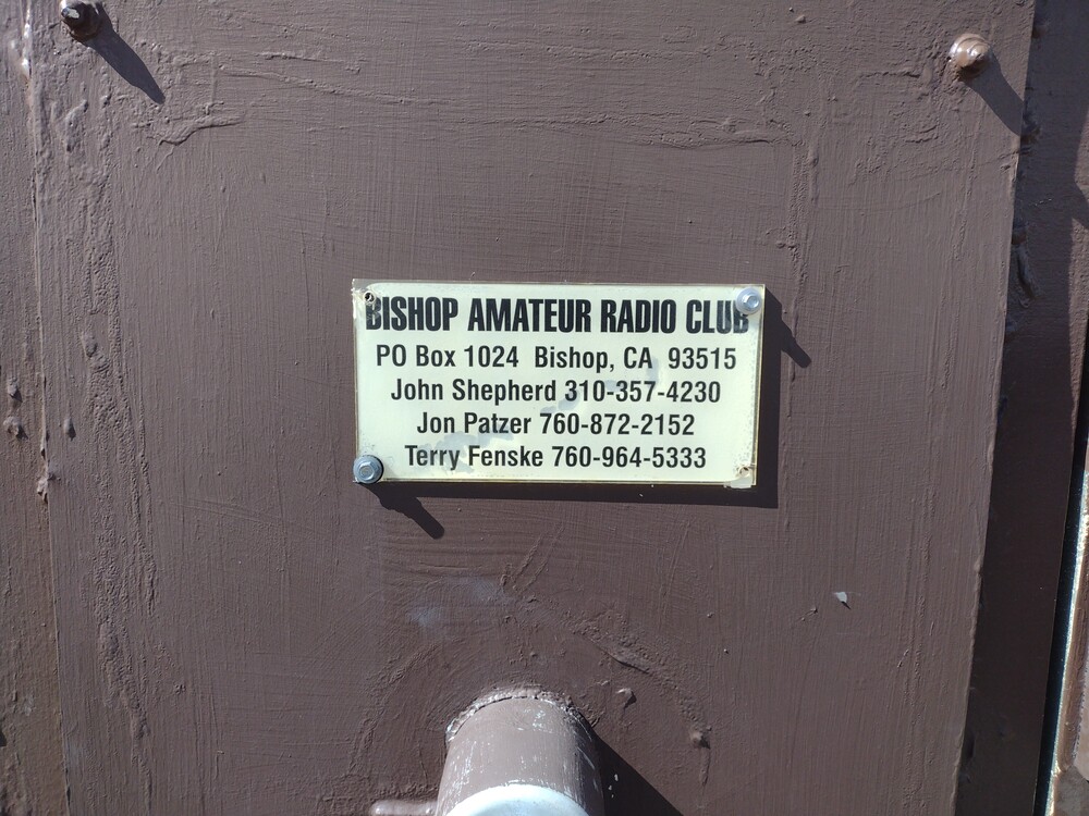
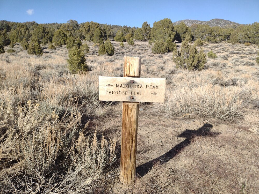
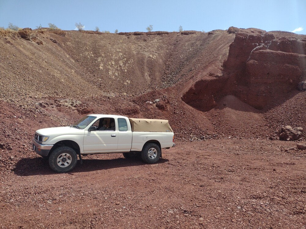
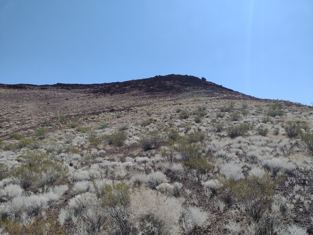
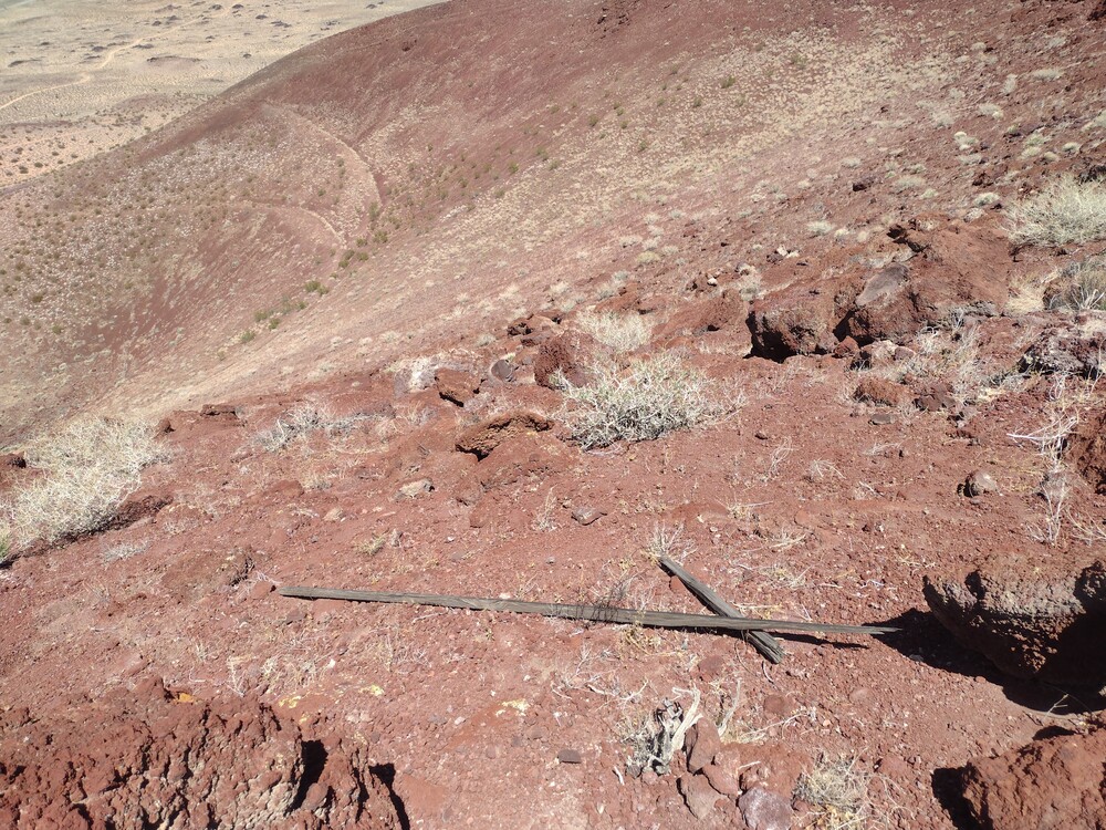
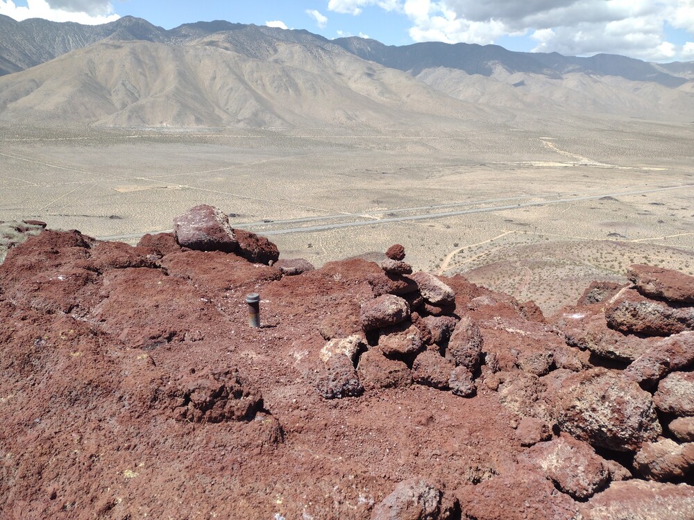
I’ve wanted to visit Mazourka Peak since I started SOTA, 5 years ago. The summit is a drive up from Independence on Hwy 395, take Mazourka Canyon Road from the south end of town all the way to the top. Took about 2 hours one way to drive the 22 miles up on the gravel road. At the top are some small radio shelters, and an amateur repeater. It was obnoxiously windy and cold, so my visit was short. I setup a Yaesu 817 with an EFHW antenna and worked 20M CW. One FM QSO to a ham in Bishop, CA. On the drive down I stopped several time to explore old mining ruins, and to scout another summit. I’ll be back up there again soon!
https://sotl.as/summits/W6/CD-005
Date:17/04/2025 | Summit:W6/CD-005 (Mazourka Peak)
| Time | Callsign | Band | Mode | Notes |
|---|---|---|---|---|
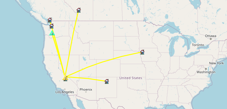
| 22:58 | K6MWK | 144MHz | FM | S59 R59 |
| 23:11 | VA7SGY | 14MHz | CW | S58N R55N POTA |
| 23:17 | NE7ET | 14MHz | CW | S56N R55N |
| 23:18 | K7SO | 14MHz | CW | S57N R53N |
| 23:20 | AB0BM | 14MHz | CW | S58N R33N |
| 23:23 | VA6DM | 14MHz | CW | S55N R55N |
| 23:23 | K7WFM | 14MHz | CW | S56N R56N |
| 23:31 | WW7D | 14MHz | CW | S2S W7W/PL-070 S22N R33N |
| 23:34 | WU7H | 14MHz | CW | S2S W7W/PL-070 S22N R33N |