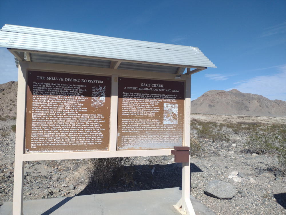
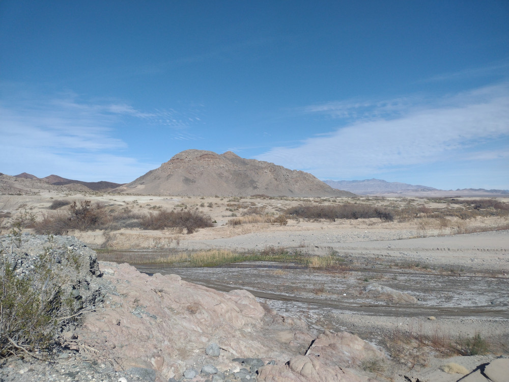
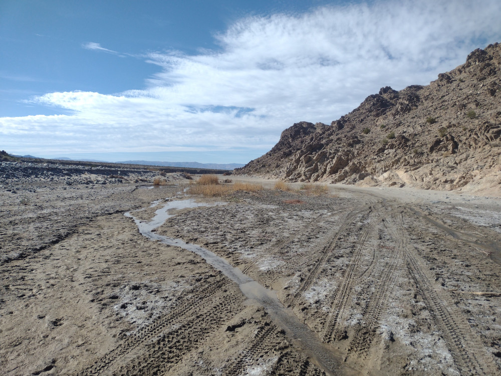
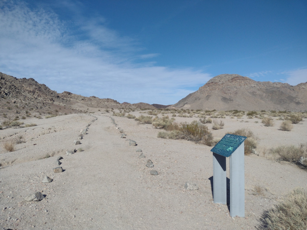
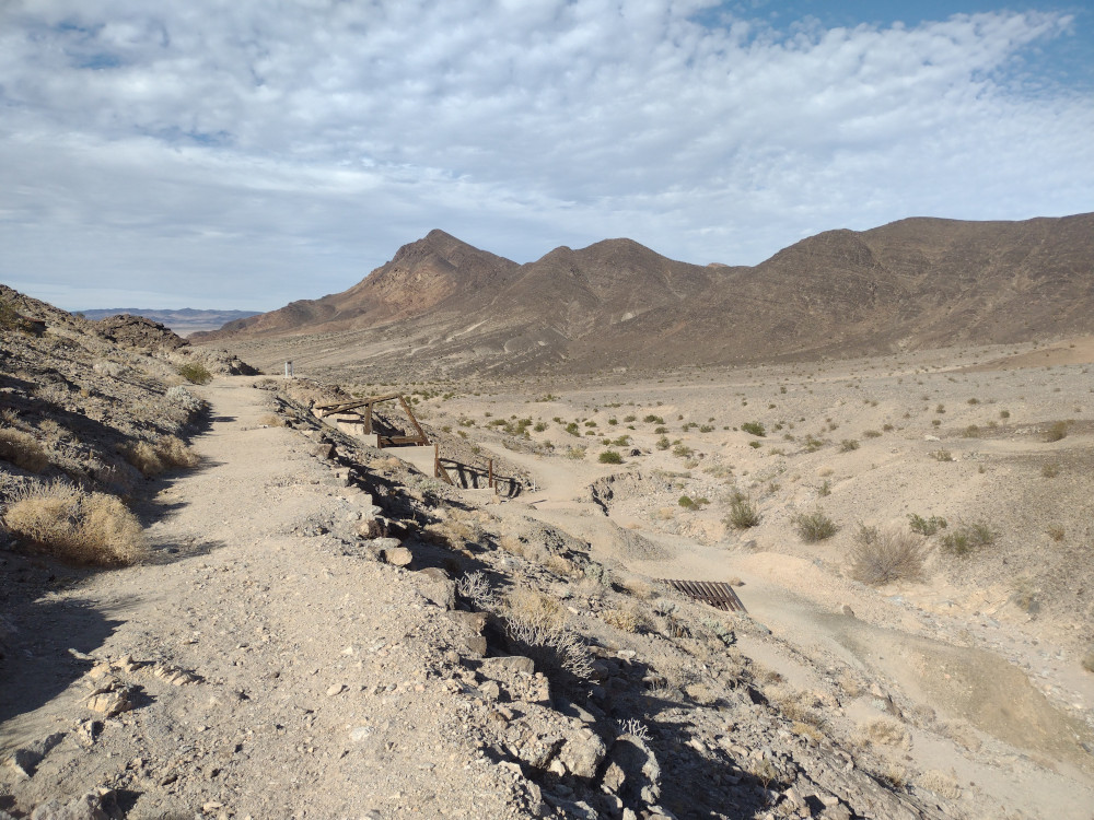
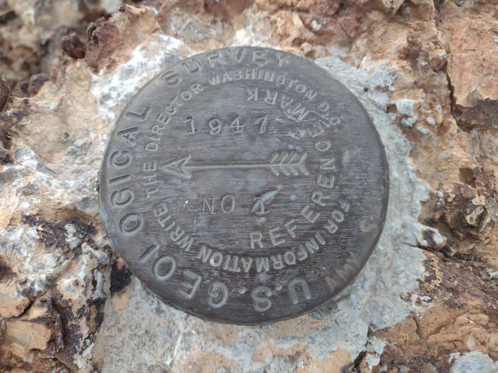
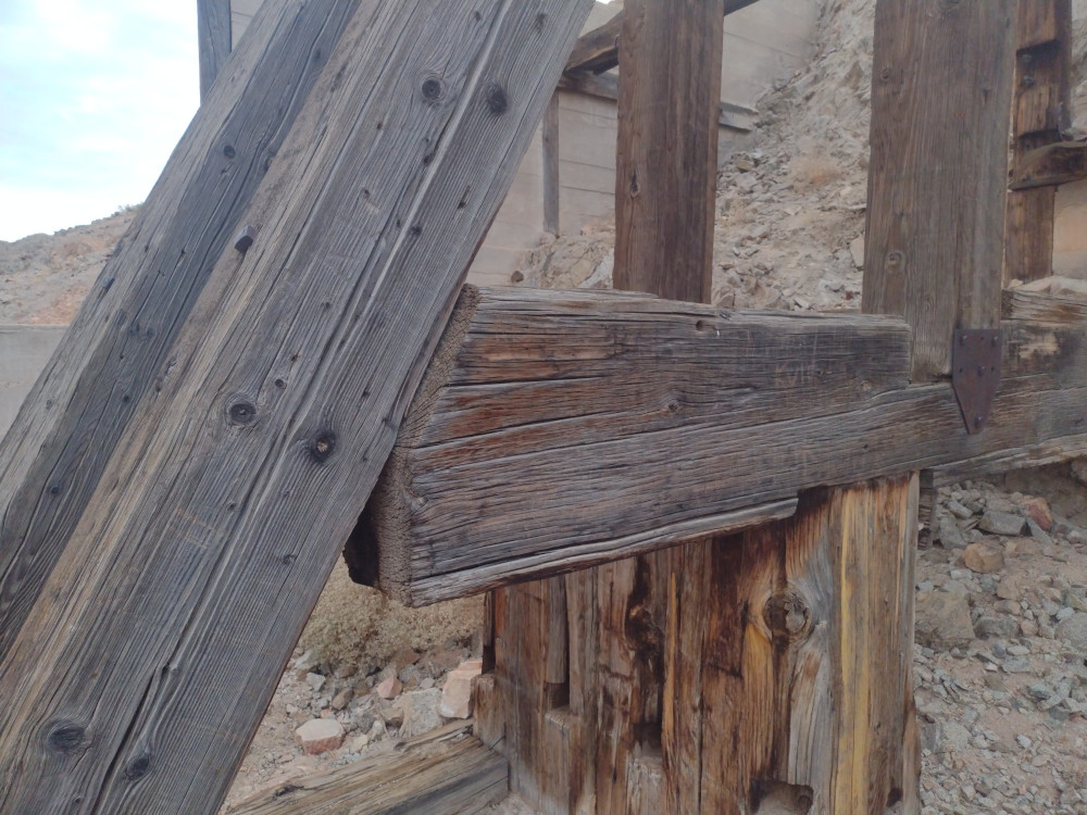
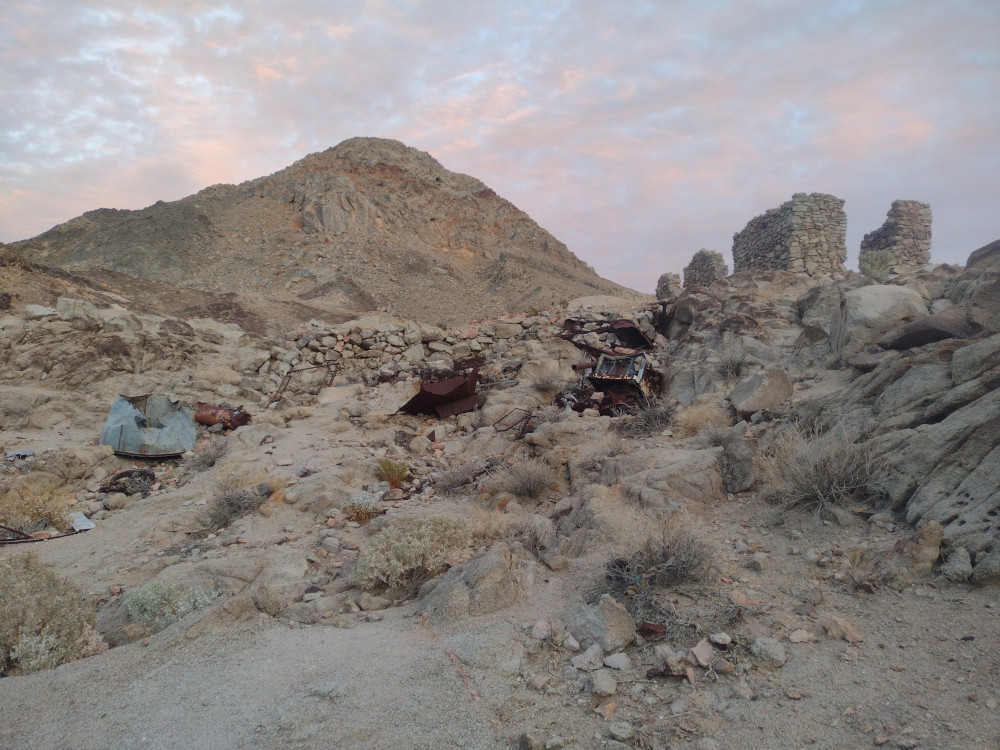
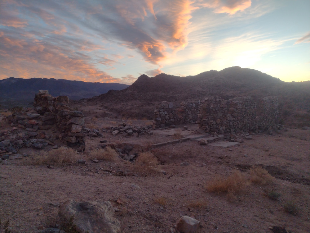
The trailhead for Salt Benchmark was right off CA-127 on the way to Death Valley National Park. Once there I was surprised to find a wetland area named Salt Creek, complete with a bit of flowing water. Additionally, there is a nice trail leading to some mining ruins, complete with information signs along the way describing the history of the area. This is honestly worth doing even if you don’t hike up to the summit. After checking out an old stamp mill, I started my way up to the summit on a narrow use trail. This is where most if the elevation gain starts. About half way up, it gets even steeper, and the rocks are razor sharp. I never considered hiking with gloves, but they would be very useful here. You you slip here, you will bleed. I got to the top just after 00:0 UTC and setup an end fed half wave connected to my new MTR 3B V4. Worked 15 and 20M, signed the register, and headed down because I was loosing daylight. By the time I got back to the truck it was dark. I ate a snack and headed to my camping spot in DVNP, Hole in the Wall, where it was extremely windy.
https://sotl.as/summits/W6/ND-376
Total climbing: 1463 ft
Date:20/02/2025 | Summit:W6/ND-376 (Salt Benchmark)
| Time | Callsign | Band | Mode | Notes |
|---|---|---|---|---|
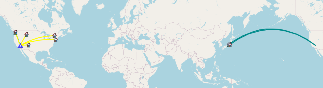
| 00:16 | JG0AWE | 21MHz | CW | S22N R32N |
| 00:16 | WU7H | 21MHz | CW | S57N R53N |
| 00:19 | JH1MXV | 21MHz | CW | S21N R31N |
| 00:28 | K2LT | 14MHz | CW | S55N R42N |
| 00:30 | KY4TWO | 14MHz | CW | S57N R57N |
| 00:31 | K2MO | 14MHz | CW | S57N R55N |
| 00:31 | K7SO | 14MHz | CW | S58N R56N |
| 00:32 | WB7BWZ | 14MHz | CW | S58N R54N |
| 00:33 | WW7D | 14MHz | CW | S57N R54N |