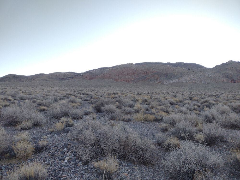
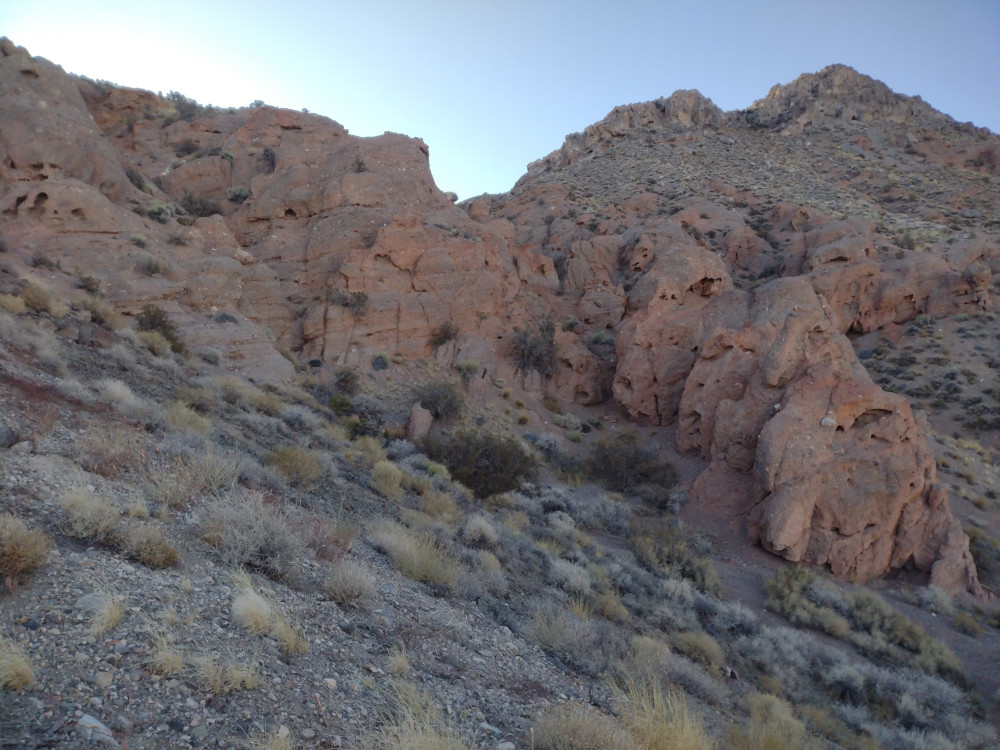
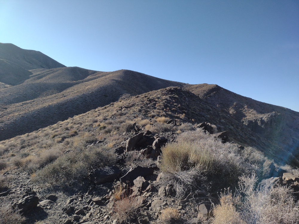
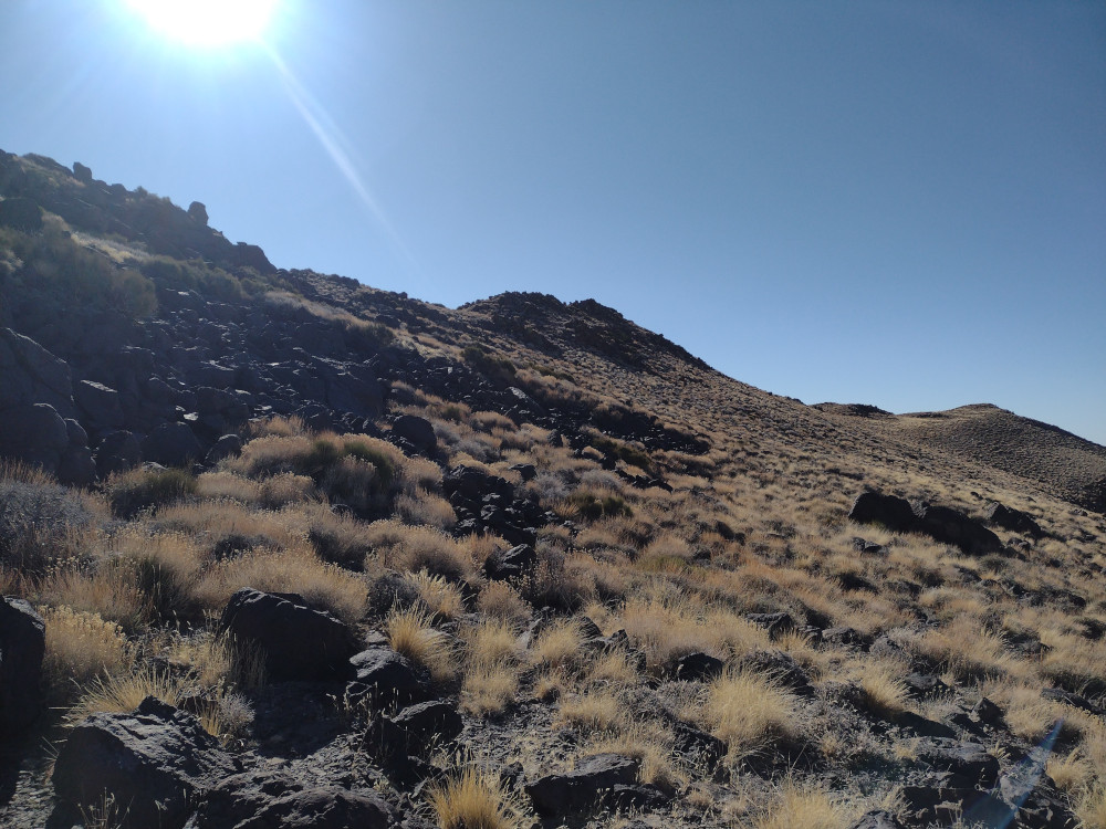
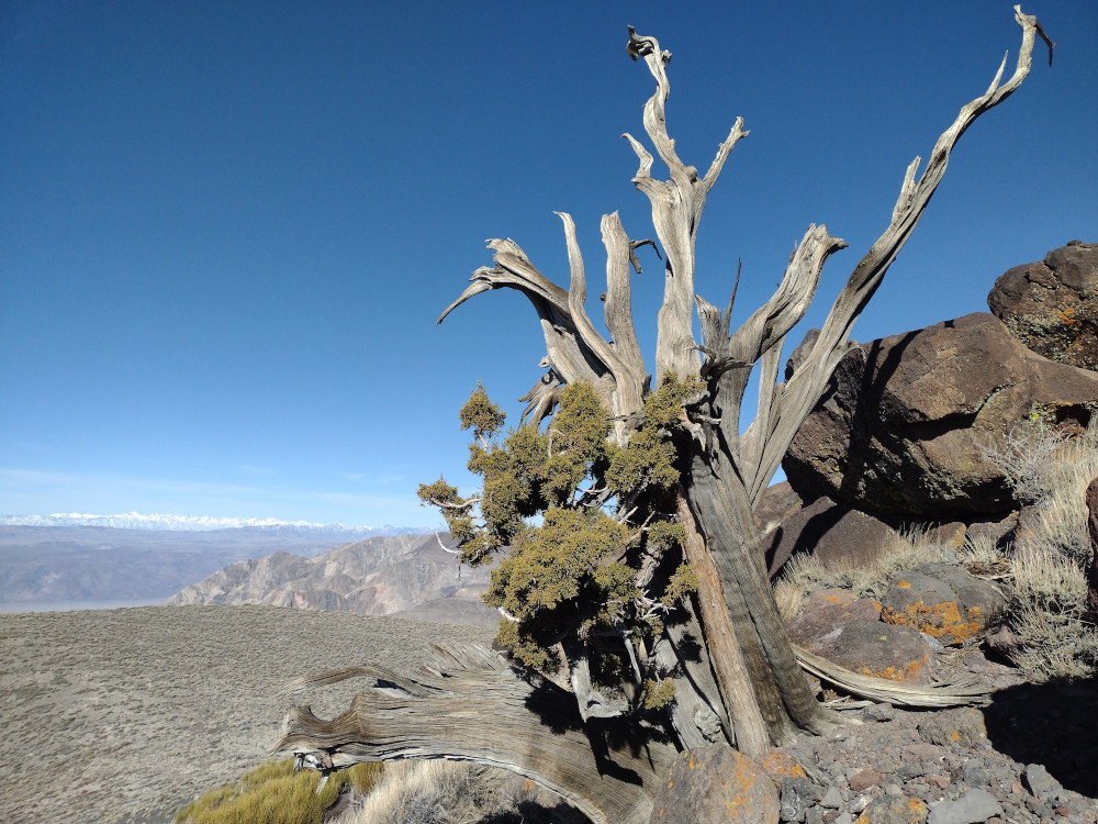
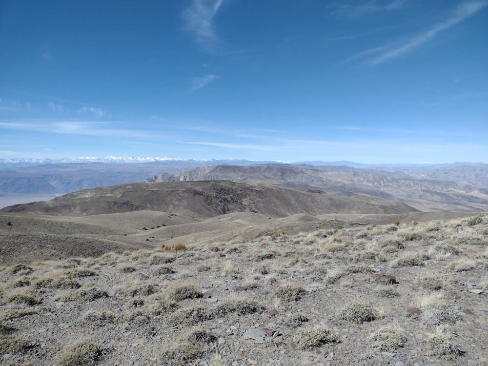
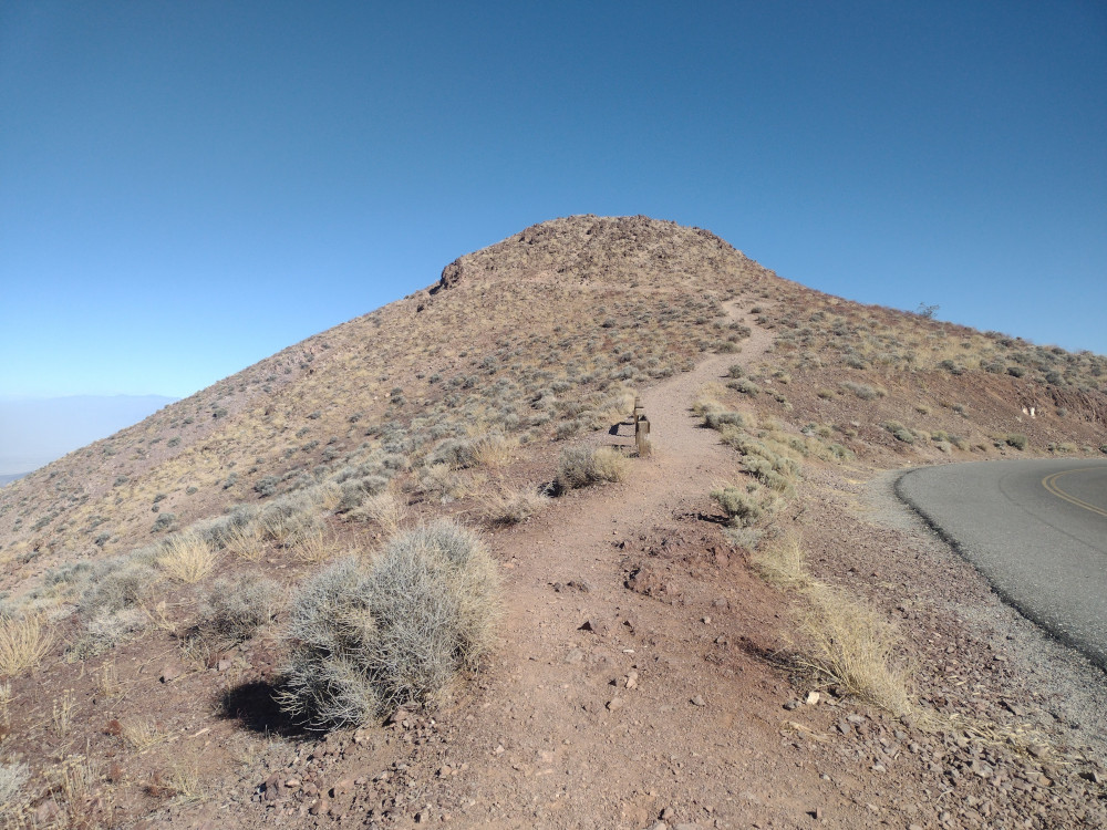
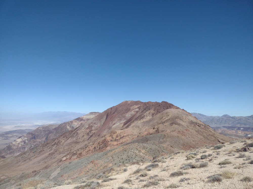
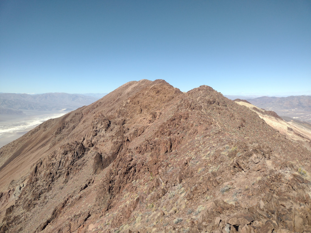
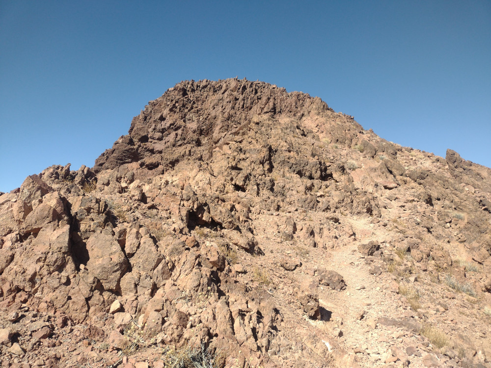
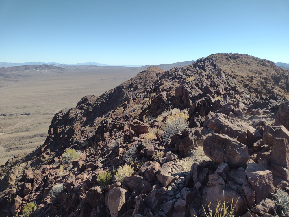
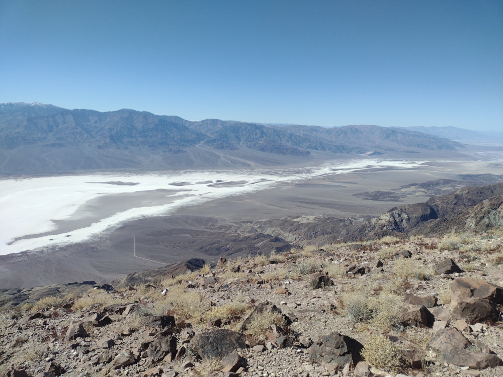
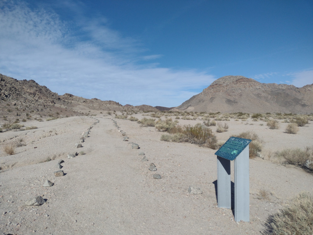
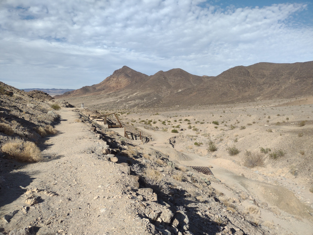
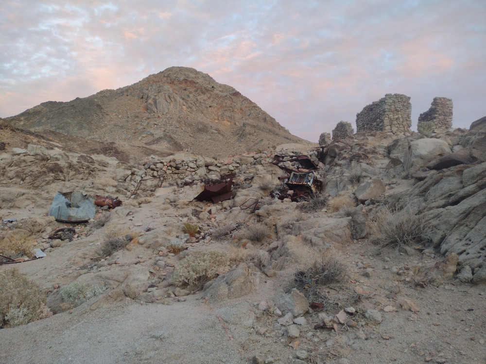
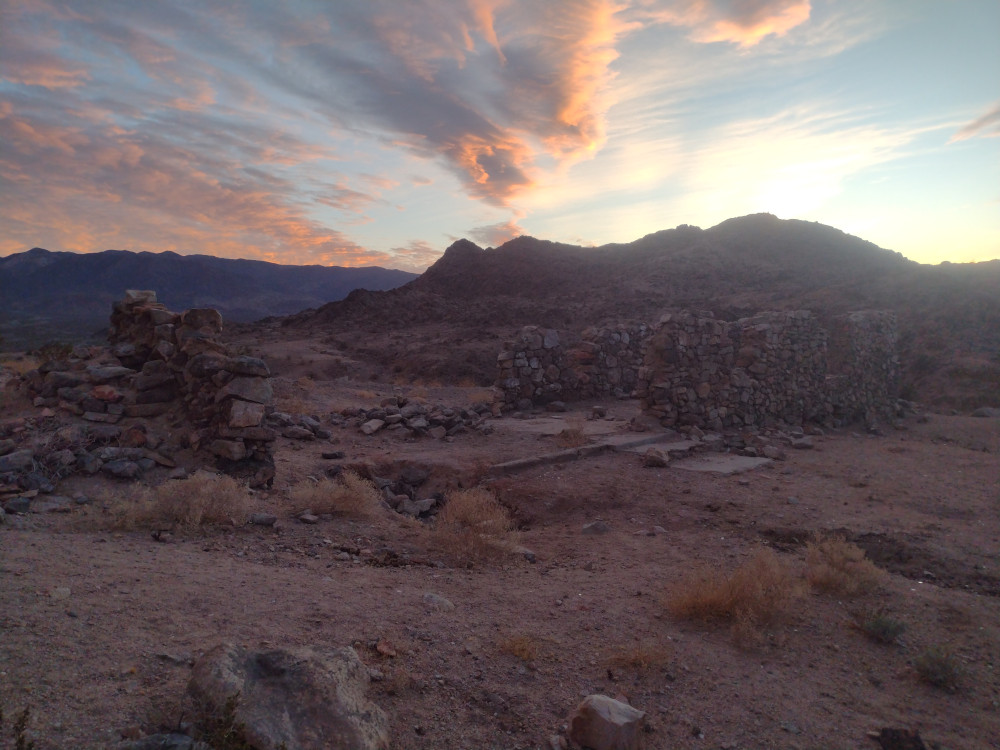
I woke up early at the big RV parking lot/ campsite in Stovepipe wells; not my favorite place to sleep but an easy option. I quickly made some coffee and headed up to Towne Pass to start my hike up to Pinto Peak. Once there and moving around I noted the temperature was 37F, the wind was blowing at an uncomfortable speed, and I was wearing shorts. The sun wasn’t over the horizon yet so I knew it would warm up at the day progressed. As I started the hike up the first climb, the sun peaked over the landscape directly in front of me, inhibiting my vision. This made route finding somewhat tricky. The majority of this hike is class 2, with some light class 3 sprinkled in.
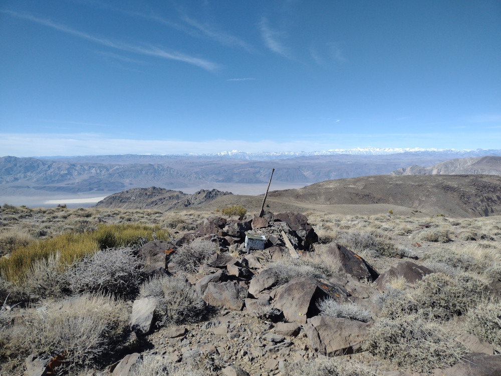
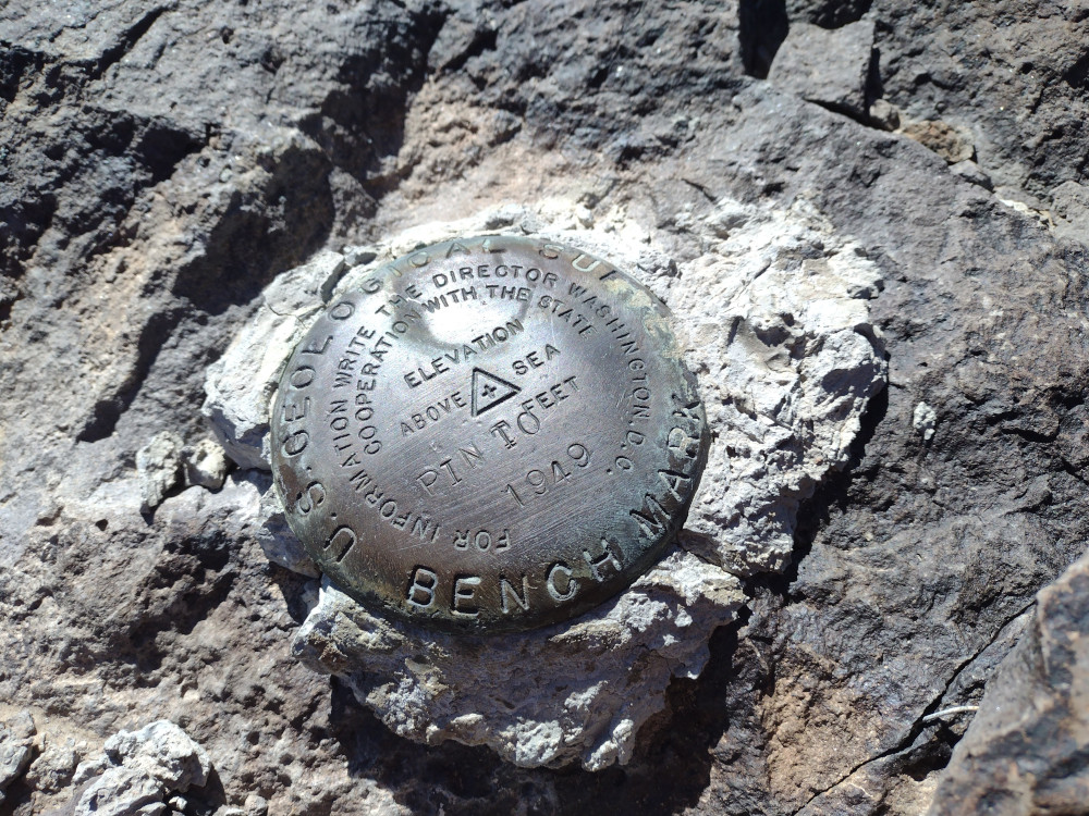
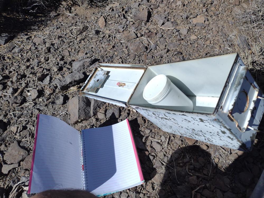
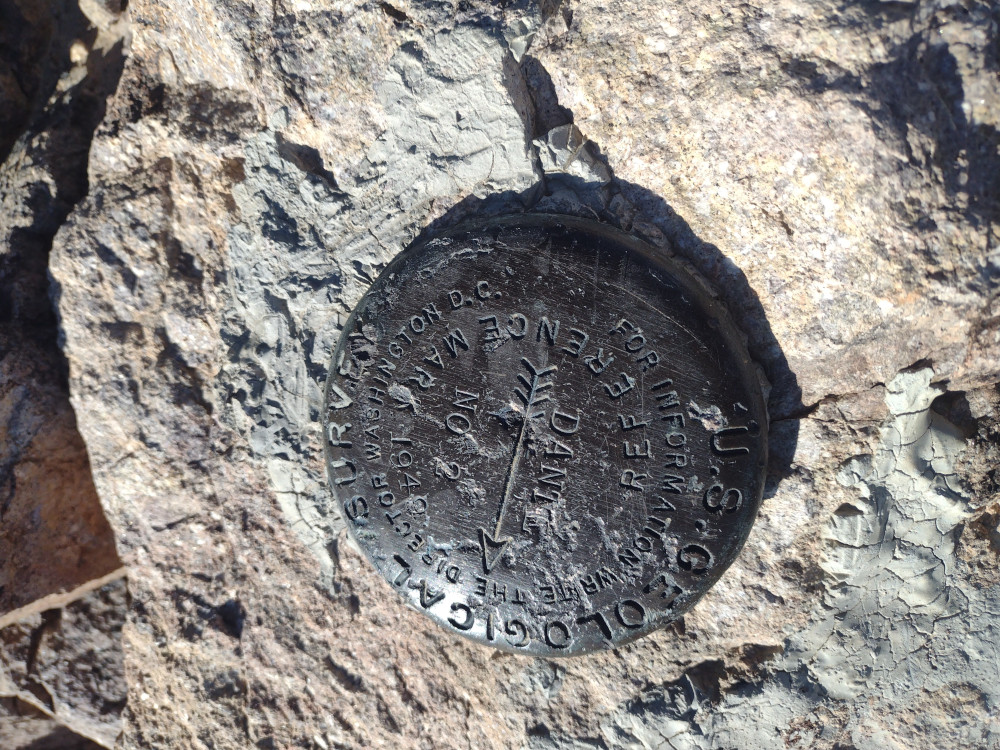
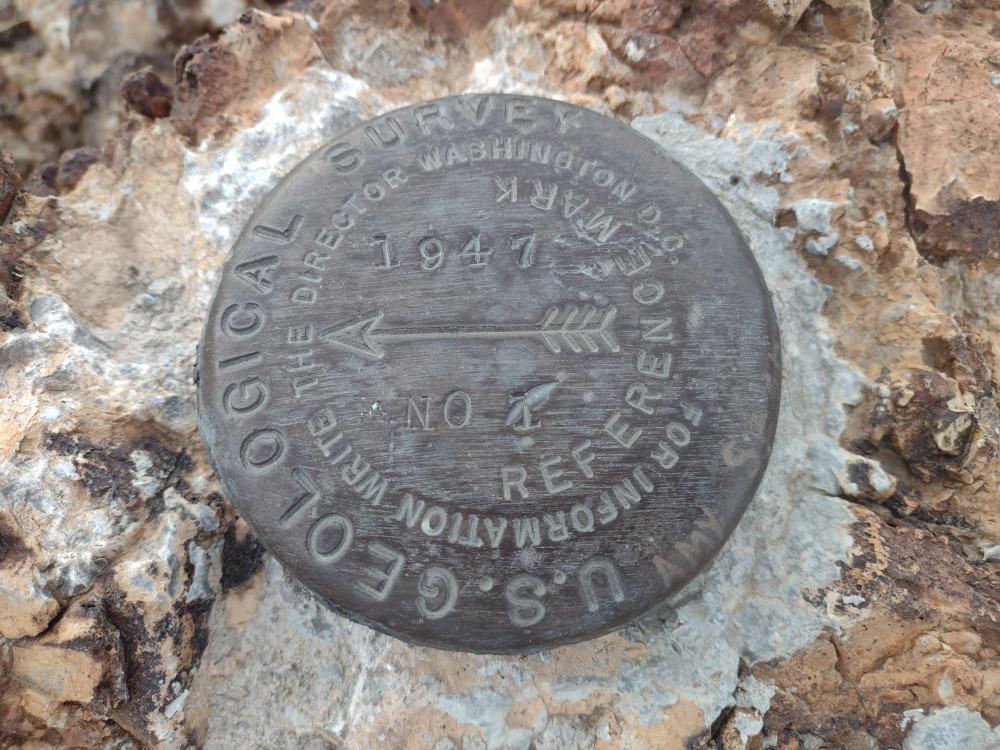
After several wrong turns, I finally made it to the summit, where I found and signed the register. It was still very windy at the top, setting up my standard EFHW antenna would have been tricky, and perhaps result in a broken mast or wire. Luckily I brought a KH1. This radio has a small whip antenna and tuner built in. While not a great performer compared to full size aerials, it works in situations like this well. Huddled behind the rock cairn, out of the wind – I worked 15M, and 17M. No S2S unfortunately.
After the working all stations in the initial pileups, I signed QRT and headed back to the truck. I’d had enough of the strong winds and was feeling fatigued by it. I made good time heading down the hill but made several wrong turns off my initial track which slightly extended the trip. This also sent me down some class 3 spots which I could have possibly avoided. Back at Towne Pass, there was a guy in a 1st generation Toyota Tacoma refueling from portable jugs. He was pulling a large, 7,000 pound trailer. I chatted with him a bit and turns out the truck had the 2.7L engine, mated with an automatic transmission. Impressive.
https://sotl.as/summits/W6/ND-055
Total climbing: 3598 ft
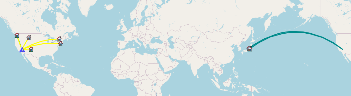
Date:21/02/2025 | Summit:W6/ND-055 (Pinto Peak)
| Time | Callsign | Band | Mode | Notes |
|---|---|---|---|---|
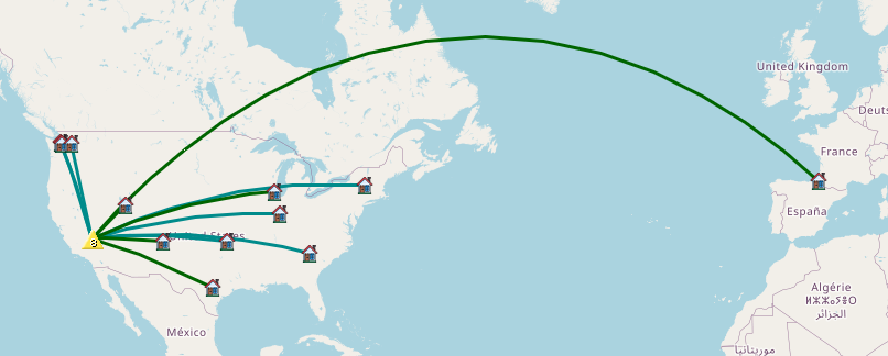
| 19:13 | W9MRH | 21MHz | CW | S53N R55N |
| 19:14 | W2WC | 21MHz | CW | S55N R599 |
| 19:15 | WW7D | 21MHz | CW | S599 R55N |
| 19:16 | W4JKC | 21MHz | CW | S57N R44N |
| 19:18 | NU7A | 21MHz | CW | S52N R53N |
| 19:19 | W5ODS | 21MHz | CW | S55N R55N |
| 19:21 | WU7H | 21MHz | CW | S57N R54N |
| 19:28 | AC7P | 18MHz | CW | S53N R22N |
| 19:30 | F4WBN | 18MHz | CW | S55N R599 |
| 19:32 | K7SO | 18MHz | CW | S58N R56N |
| 19:38 | WB7ULD | 18MHz | CW | S599 R51N |
| 19:41 | KF9D | 18MHz | CW | S57N R32N |