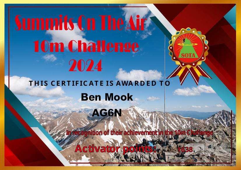
Last year I started bringing my Yaesu 817 up to more summits. Since this radio has the 10M band, and setting up a 10M antenna is easy, I worked a bunch of 10M. I was aware of this SOTA challenge, but wasn’t actively trying to get points. I ended up 22nd in W6, and 257th worldwide. Pretty good!
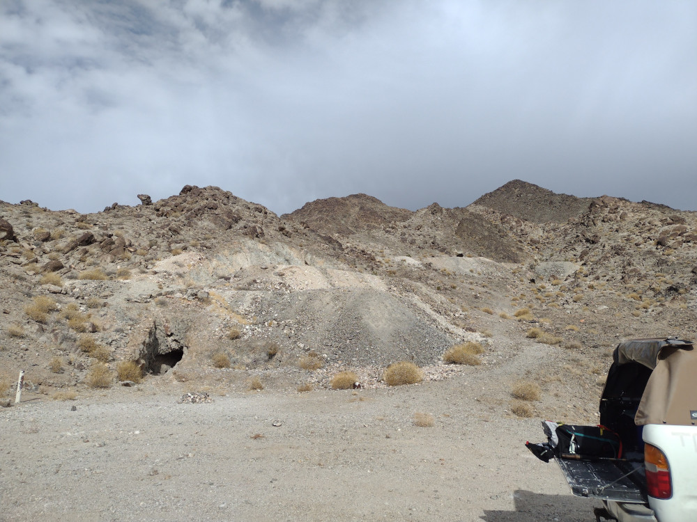
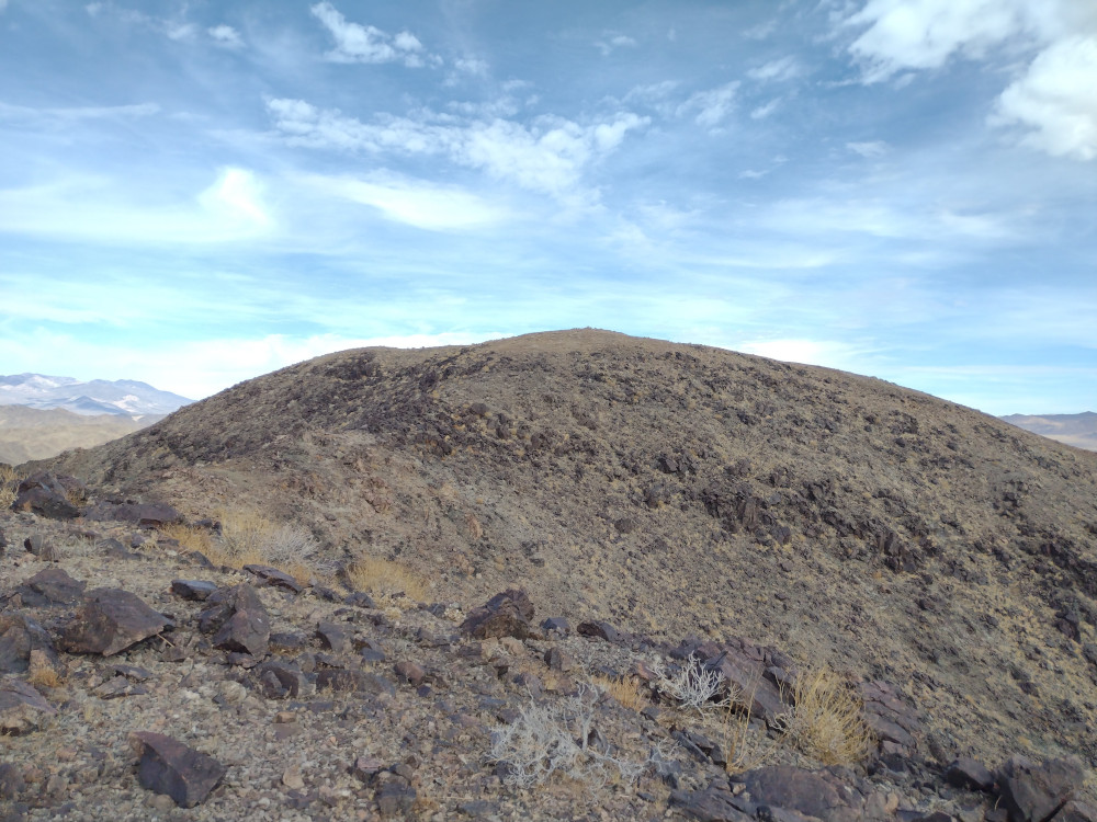
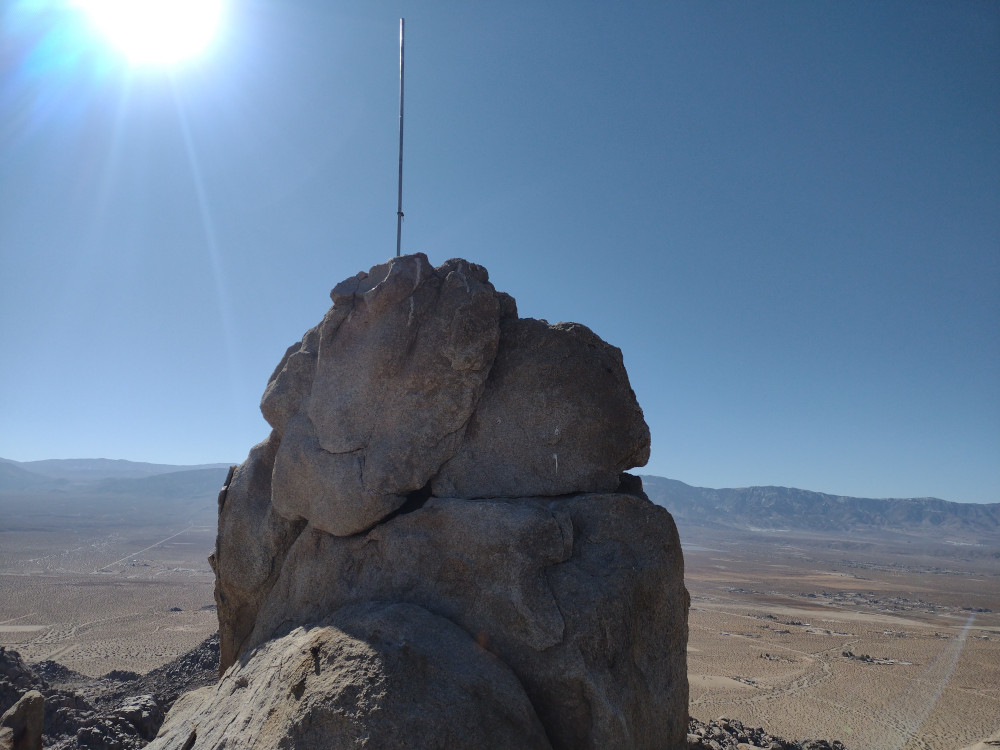
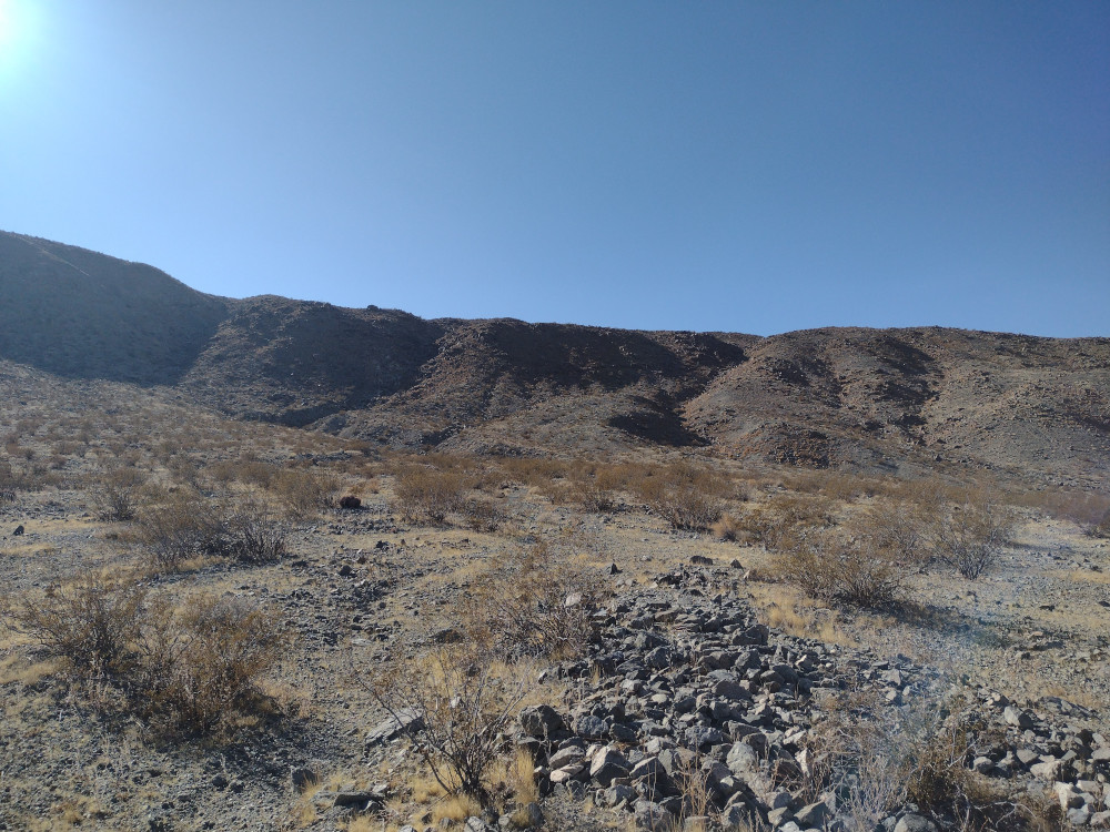
Otto Mountain is in Baker, CA, just off Interstate 15. There isn’t much in town except a bunch of gas stations for people traveling between Los Angeles, and Las Vegas – oh, and the biggest thermometer, ever. I’m sure many SOTA operators have passed this little mountain several times, perhaps even considered climbing it, but for some reason, it remained activation free. On a trip to Death Valley National Park, I decided to go for it. I needed to top off my gas tank anyways, pretty convenient!
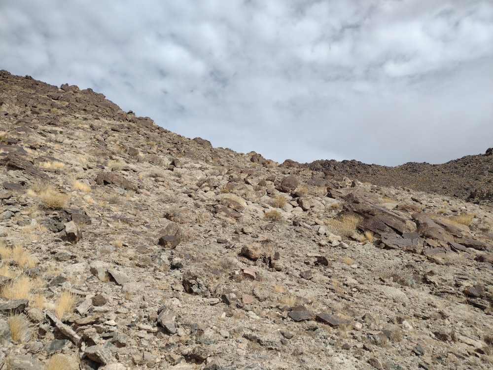
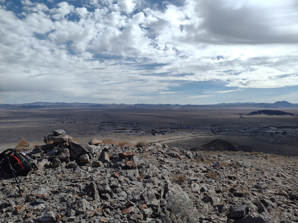
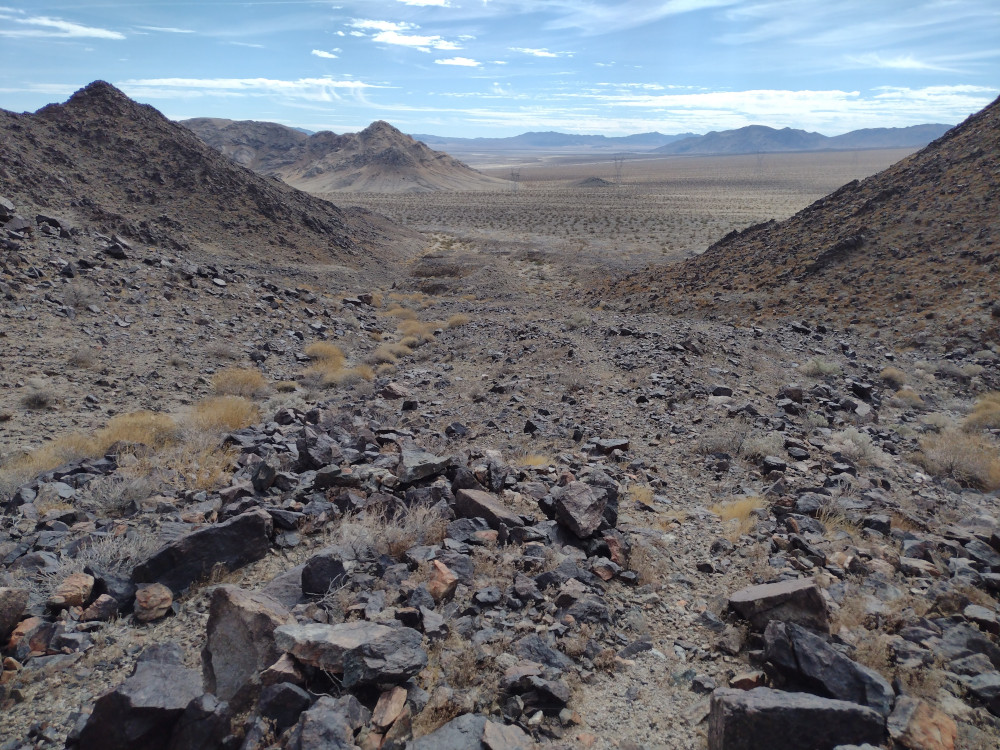
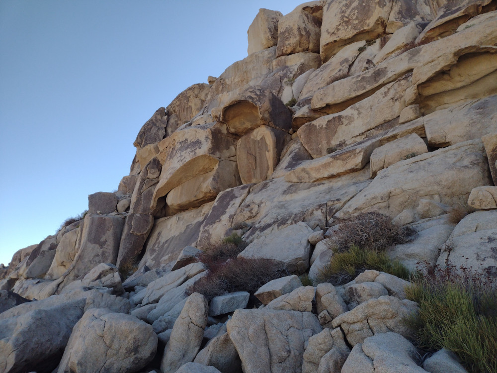
Getting to the summit is pretty easy, there are power lines accompanied by a dirt road at the base of the mountain. I drove this and parked in a well used area near several old mine shafts. After walking around a bit I determined this wasn’t the best place to ascend. Eventually I found a good route and started hiking up. It was steep, rocky, and loose with several false summits. At the top, I setup my brand new MTR3B V4 for 20M, along with a brand new 3D printed key. After several Qs, the key started acting funny, then eventually failed! Luckily the new MTR has a built in touch keyer, which saved the activation!
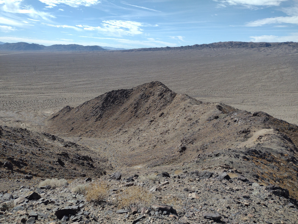
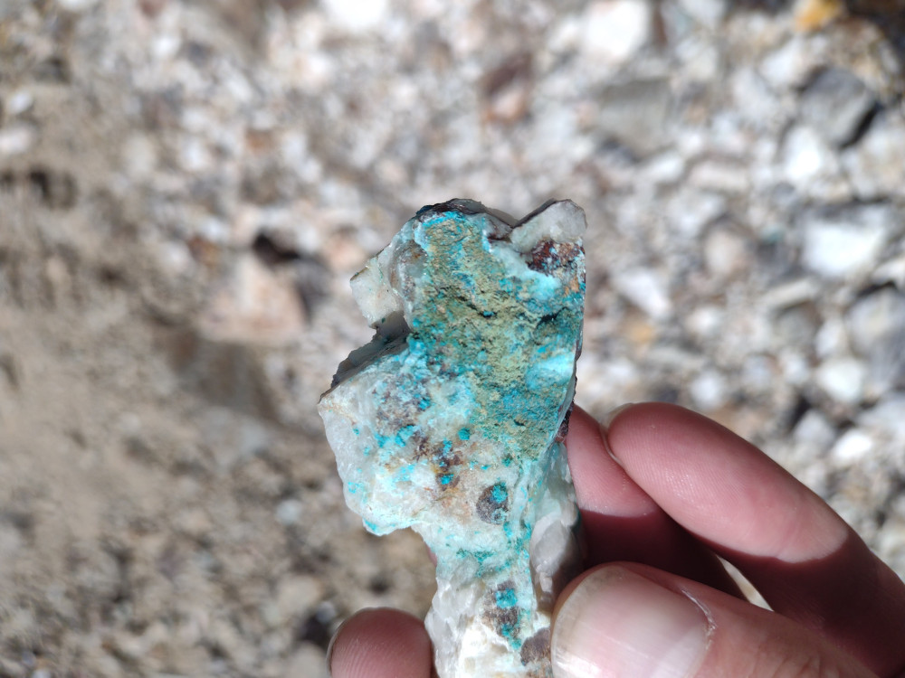
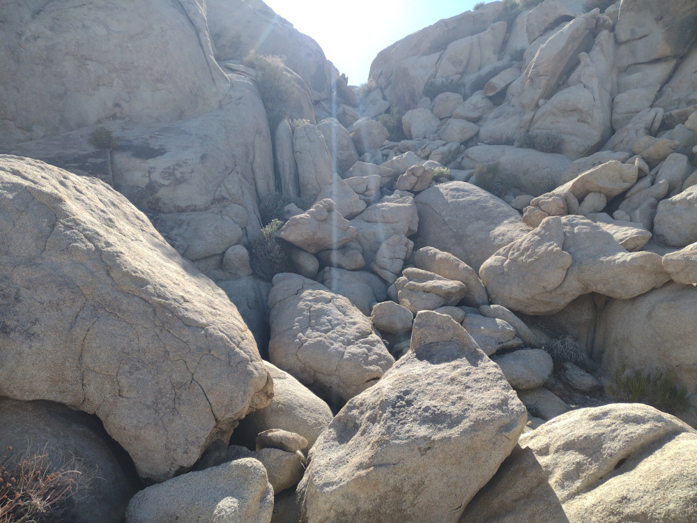
From the summit I could see a pretty well defined use trail which I thought might be a better way to descend, plus it makes the hike a loop. I took this path, but it seemed sketcher that the way up. I think I lost the trail several times, and once needed to backtrack up to safer ground. Near the bottom were more mines, with lots of blue-green quartz around. Copper perhaps? From there, it was an easy hike back to the truck.
I parked here by some mines, could have parked much closer.General viewsFirst view of the summitAt the top, looking down at Baker, CAThe ridge line I hiked downFound lots of this blue-green quartz near mines.Found a use trail back to the truck
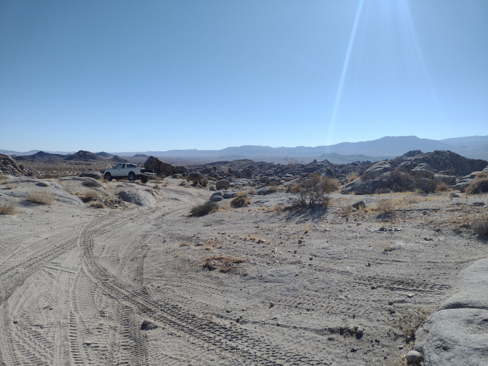
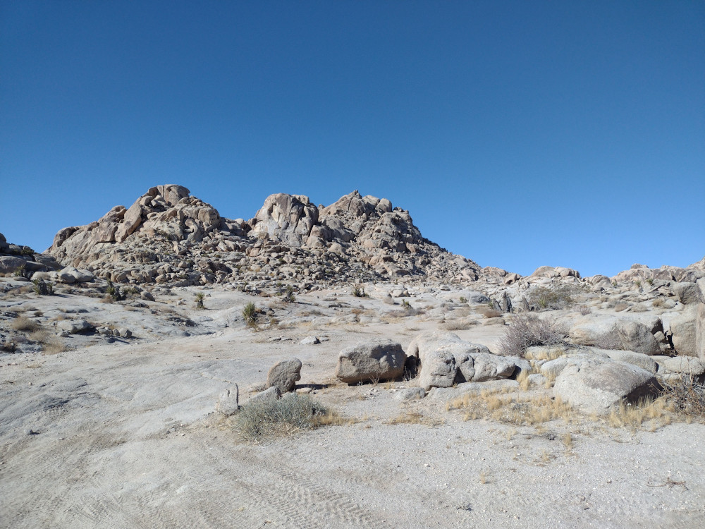
This was my 1st summit for 2025 So.Cal Winter SOTA Fest. Sometime last year, I worked two stations on this very summit during the 2024 Winter Sota Fest, so activating it makes it a complete for me. I left my home in Los Angeles early in the morning on a Friday and drove to Victorville to pickup some supplies at a grocery store before heading to Lucerne Valley. From there I jumped on a dirt road and headed towards Cougar Buttes. Finding the way was pretty easy, just follow various dirt roads to the general direction to the summit. Near the destination it got pretty sandy. I locked the front hubs on the truck in the event I needed 4wd. Once I was close, I got out and started hiking. The trip up is all boulder scramble. The large rocks reminded me of the Alabama Hills near Lone Pine, CA. I needed to backtrack several times to find a better/ safer route. There isn’t much room at the top for an antenna. Additionally, it was extremely windy. This is where the KH1 with the internal whip really shines! Worked 15M CW, then quickly went QRT. On the way down I took a different route which was longer, but made the hike a loop. Overall, a fun scramble. I’d do it again!
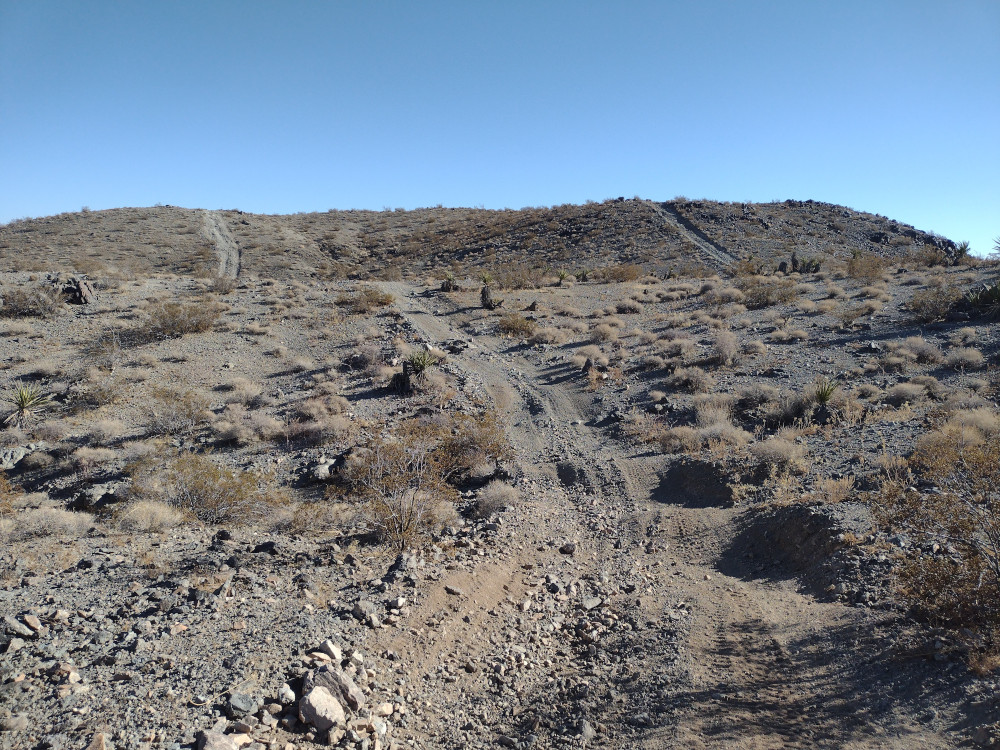
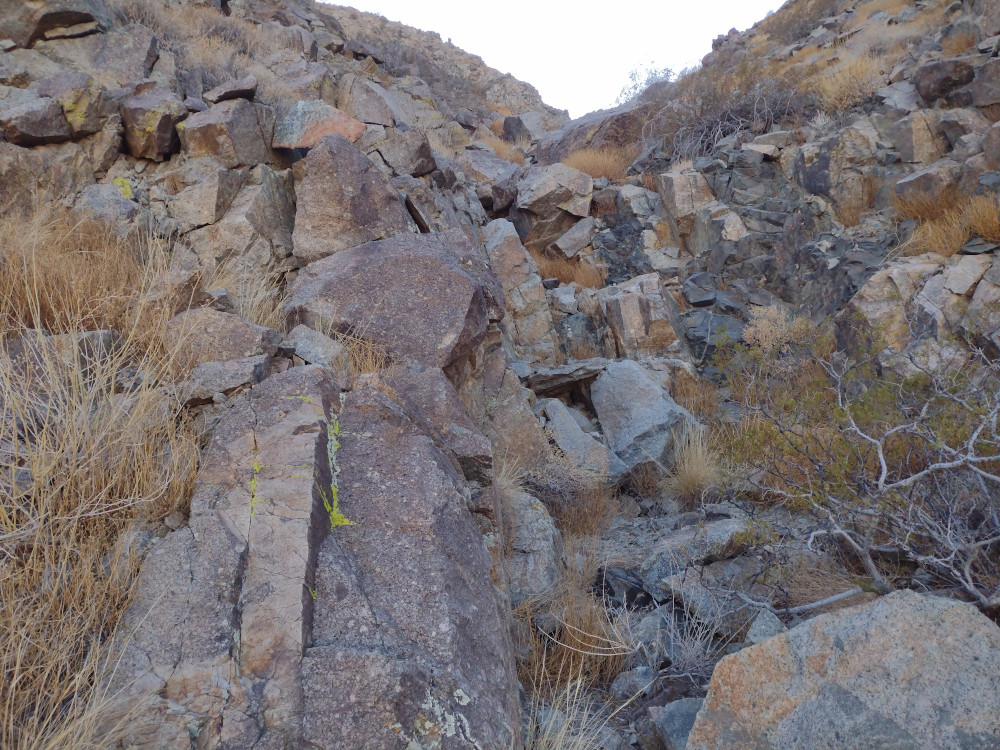
This was my 2nd summit for 2025 So.Cal Winter SOTA Fest. I wasn’t planning to climb this one, but it was close to me after a failed attempt at Fry Benchmark. I got as close to the summit as I could on a wide gravel road, then hiked a short distance up the steep hillside, where I was surprised to see a two track truck trail. I followed this all the way to the actual summit where strong wind had me hiding behind a rock pile. I used a KH1 with the whip on 20M, and 15M, and ended my quickly activation quickly after only 15 minutes or so at the top. The way down was more technical then the ascent, traveling through dry waterfalls and a short ravine. Over all, pretty fun, short hike. You could probably drive up there with a jeep or dual sport bike but hiking is pretty easy too.