This was my 5th summit for 2025 So.Cal Winter SOTA Fest.
Summit 1-> https://blog.benmook.com/w6-sd-140-cougar-buttes/
Summit 2-> https://blog.benmook.com/w6-sd-145-3938/
Summit 3-> https://blog.benmook.com/w6-sd-018-rodman-mountains-hp/
Summit 4-> https://blog.benmook.com/w6-sd-218-watkins-benchmark/
Summit 5-> https://blog.benmook.com/w6-sd-040-west-ord-mountain/
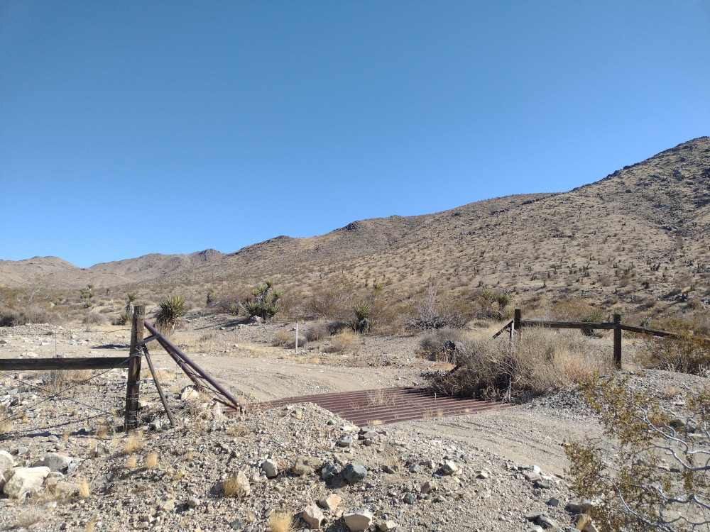
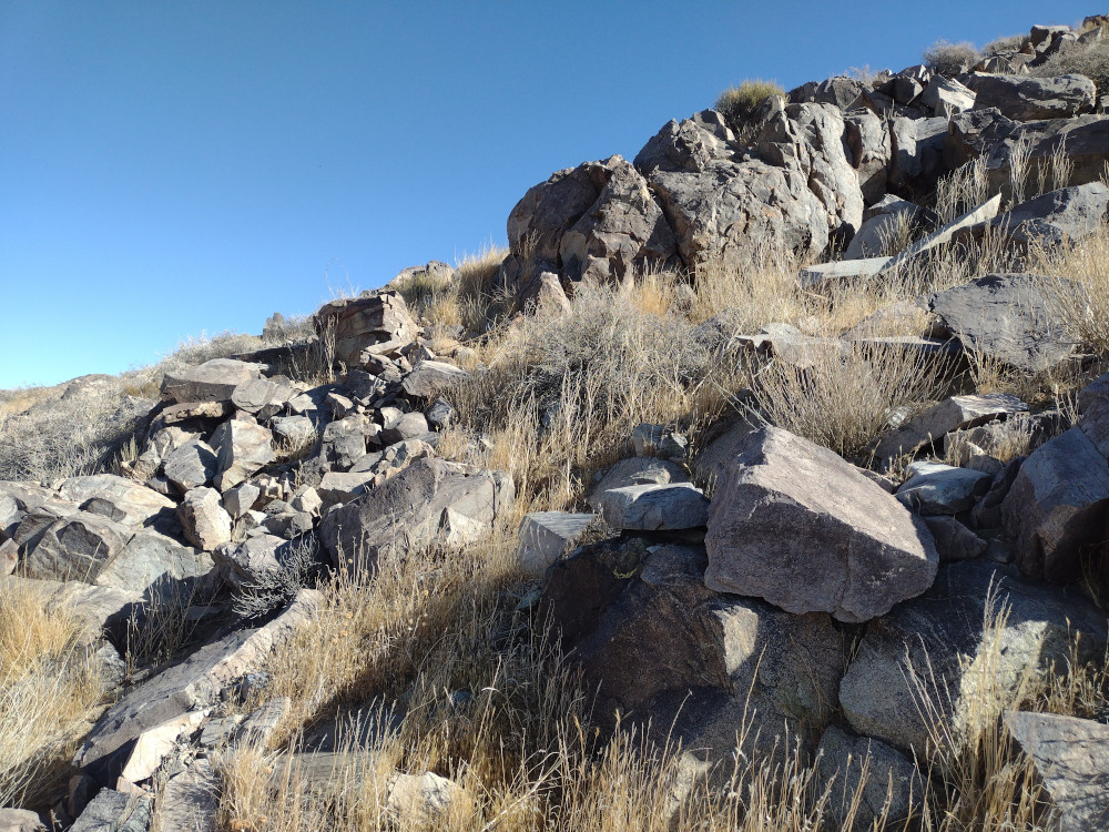
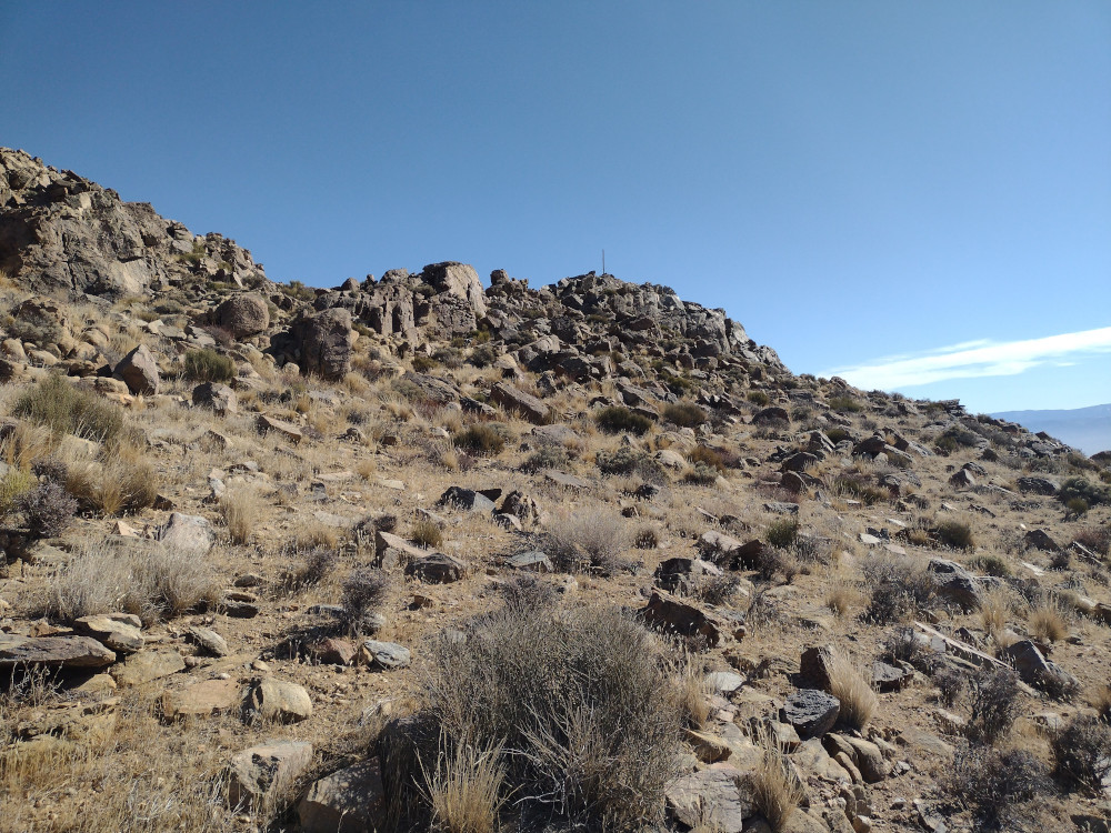
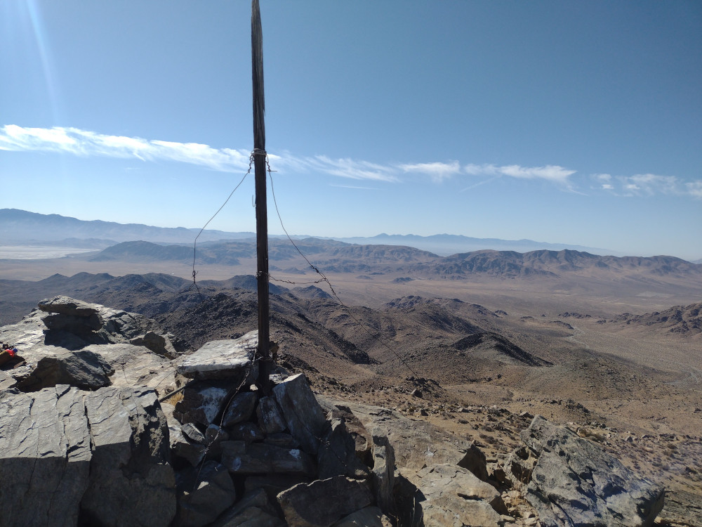
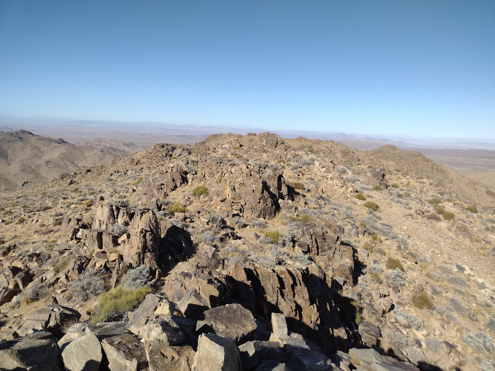
Probably my favorite climb of the weekend. I started the hike at a cattle guard, which was recommended by many from Peakbagger. This spot is a good ways away from the paved road, and I made a few wrong turns along the way, which made it a bit of an adventure even getting there. From the cattle guard, I just started hiking up, there is no use trail to follow. There are a few false summits, a bit of scrambling, and beautiful views. At the top is what I believe to be an old survey tower. I didn’t didn’t find any benchmarks. Worked other SoCal SOTA activators on 2M S2S, plus 15, 17 and 20M on the KH1 whip. I didn’t get a boatload of contacts, but enough to qualify the activation. I’m excited to hike the rest of the Ord Mountains soon!
https://sotl.as/summits/W6/SD-040
Total climbing: 1769 ft
Date:18/01/2025 | Summit:W6/SD-040 (West Ord Mountain)
| Time | Callsign | Band | Mode | Notes |
|---|---|---|---|---|
| 20:44 | KN6FNY | 144MHz | FM | S2S W6/SD-018 S55 R59 |
| 20:47 | W6LOR | 144MHz | FM | S2S W6/SD-497S59 R59 |
| 20:47 | K6STR | 144MHz | FM | S2S W6/SD-497S59 R59 |
| 20:50 | K6TW | 144MHz | FM | S59 R59 |
| 20:50 | KI6SLA | 144MHz | FM | S58 R59 |
| 20:51 | KG6TRG | 144MHz | FM | S59 R59 |
| 21:02 | W5ODS | 21MHz | CW | S58N R57N |
| 21:07 | WW7D | 21MHz | CW | S57N R55N |
| 21:12 | W6TDX | 18MHz | CW | S53N R53N |
| 21:20 | WI0S | 14MHz | CW | S55N R44N (POTA) |
| 21:24 | W6DT | 14MHz | CW | S599 R55N |
| 21:26 | W6LEN | 14MHz | CW | S44N R55N |
| 21:27 | W7VD | 14MHz | CW | S57N R53N |
| 21:28 | WG0AT | 14MHz | CW | S42N R33N |
| 21:29 | W7GA | 14MHz | CW | S599 R55N |