W6/ND-114 – 6140

I camped at Stovepipe Wells for the night after driving in the dark from an earlier activation in Darwin, CA. I don’t recommend camping here. It’s a large RV lot near a gas station. There was LTE internet which was nice since I didn’t really plan my trip all that well. Had I known the vibe at Stovepipe, I would have much preferred to camp elsewhere, but it was too dark and the landscape is too vast to change plans. Anyways, at the first light of morning, I left camp and headed out to Skidoo to summit 6140. The trek out there is far and washboard dirt roads will fatigue you. From Skidoo road, I turned at 36.43317,-117.13375 and headed up a two track road to the summit, stopping at a large clearing right below the peak. I made some hot tea and walked the remainder of the elevation. I should have camped here! Maybe next time. Worked 10M and 15M CW with some good DX. After a successful activation I headed down to look for the old stamp mill and mine I saw in photographs, but never found it. You could spend all day out here looking around, but I hoped to activate another peak before the short November day was over.

https://sotl.as/summits/W6/ND-114

Date:08/11/2024 |  Summit:W6/ND-114 (6140)

TimeCallsignBandModeNotes
16:14ND0C28MHzCWS599 R55N
16:15F4WBN28MHzCWS57N R599
16:16N4MJ28MHzCWS58N R57N
16:17W4GO28MHzCWS57N R41N
16:18WK2S28MHzCWS56N R55N
16:20W2WC28MHzCWS55N R55N
16:21WB8BHN28MHzCWS51N R52N
16:23G3VXJ28MHzCWS55N R53N
16:25S57S28MHzCWS57N R51N
16:26G8LJG28MHzCWS55N R22N
16:28W4JKC28MHzCWS57N R55N
16:29W5WMQ28MHzCWS53N R44N
16:47EA7GV21MHzCWS55N R33N
16:49AC7P21MHzCWS57N R55N
16:50NU7A21MHzCWS57N R55N
16:52GI4OSF21MHzCWS51N R44N QSB
16:53KC1NDQ21MHzCWS55N R51N
Skidoo

W6/ND-250 – 4403

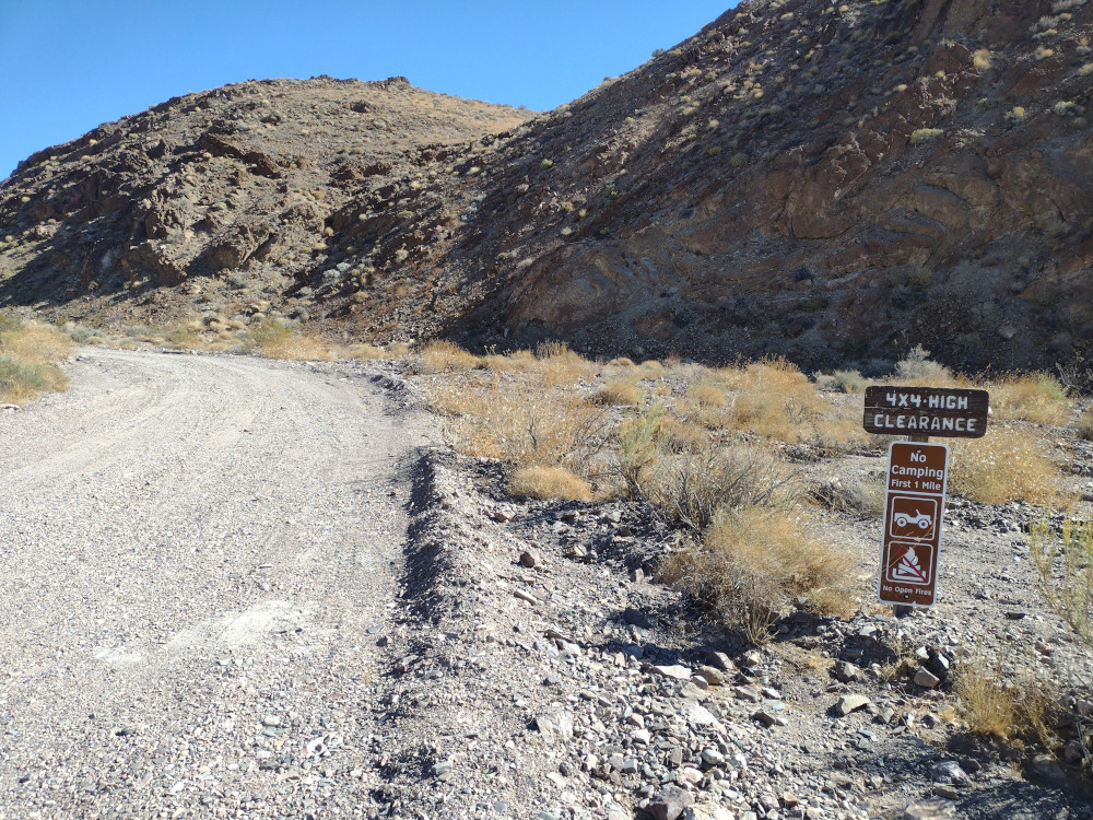
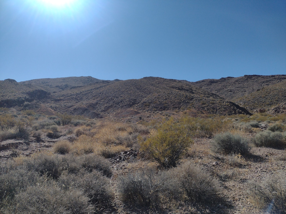
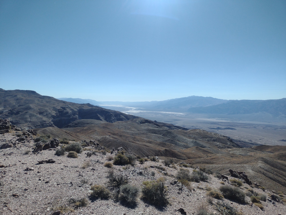
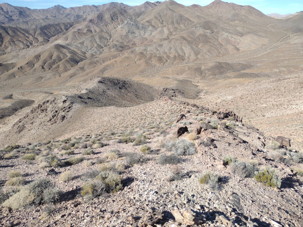
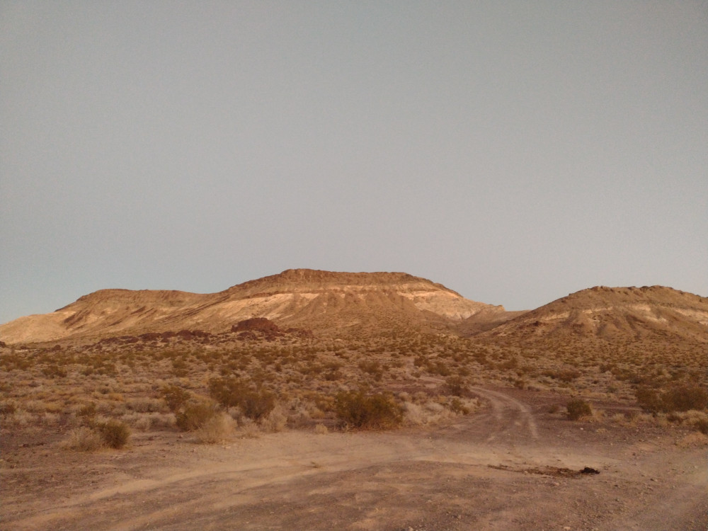
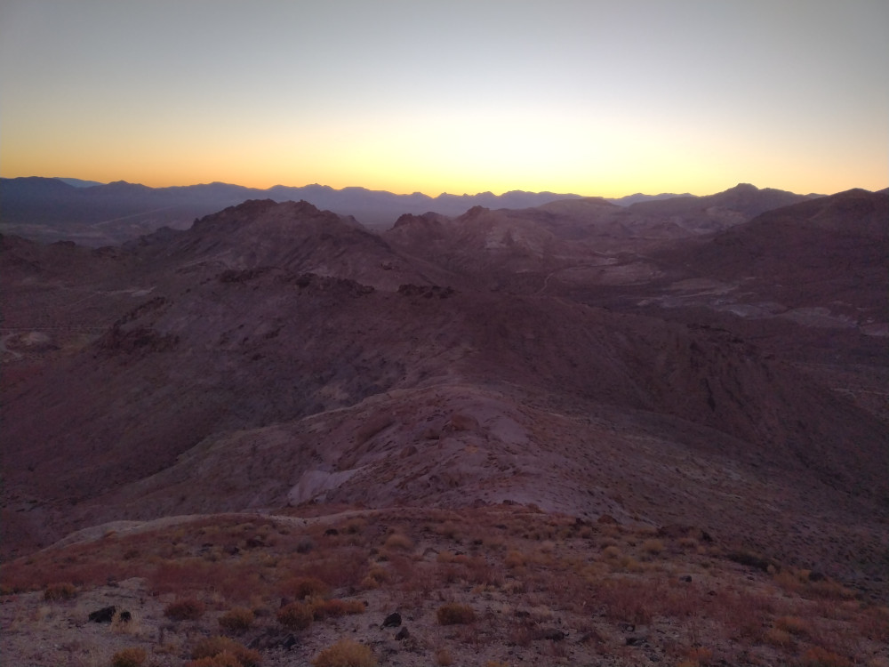
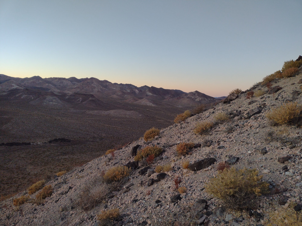
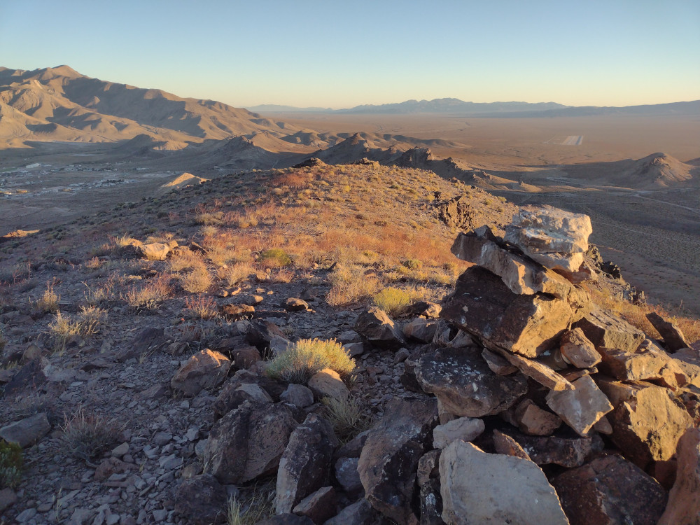
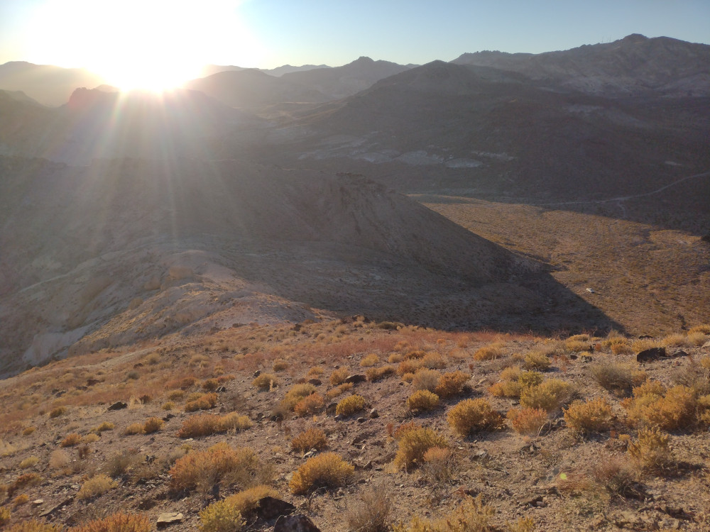
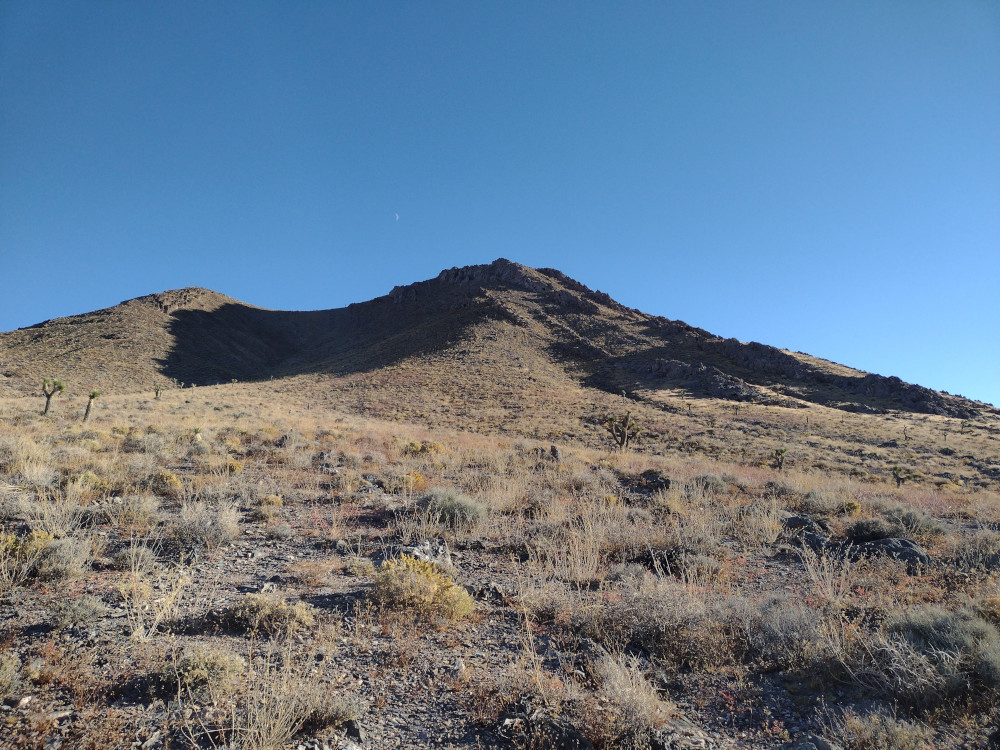
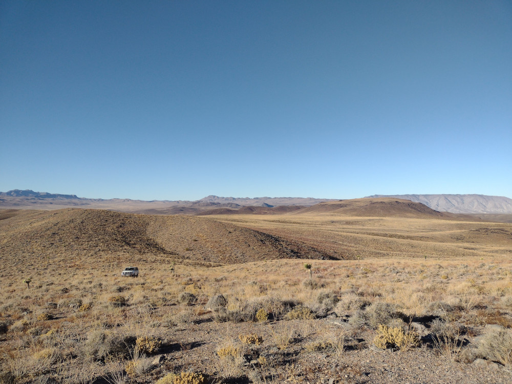
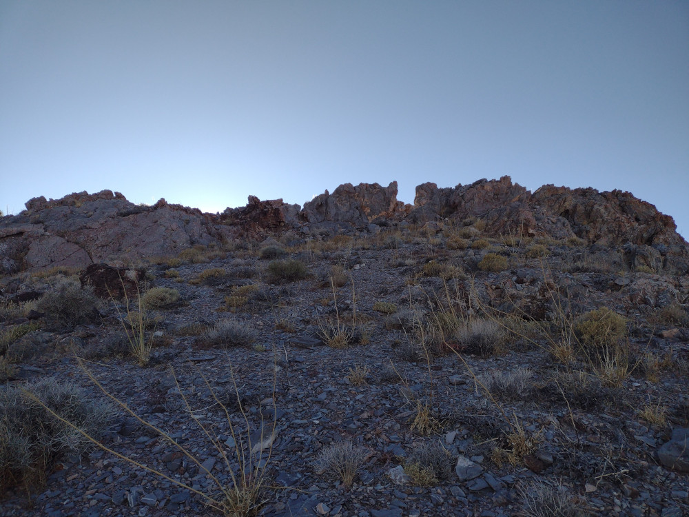
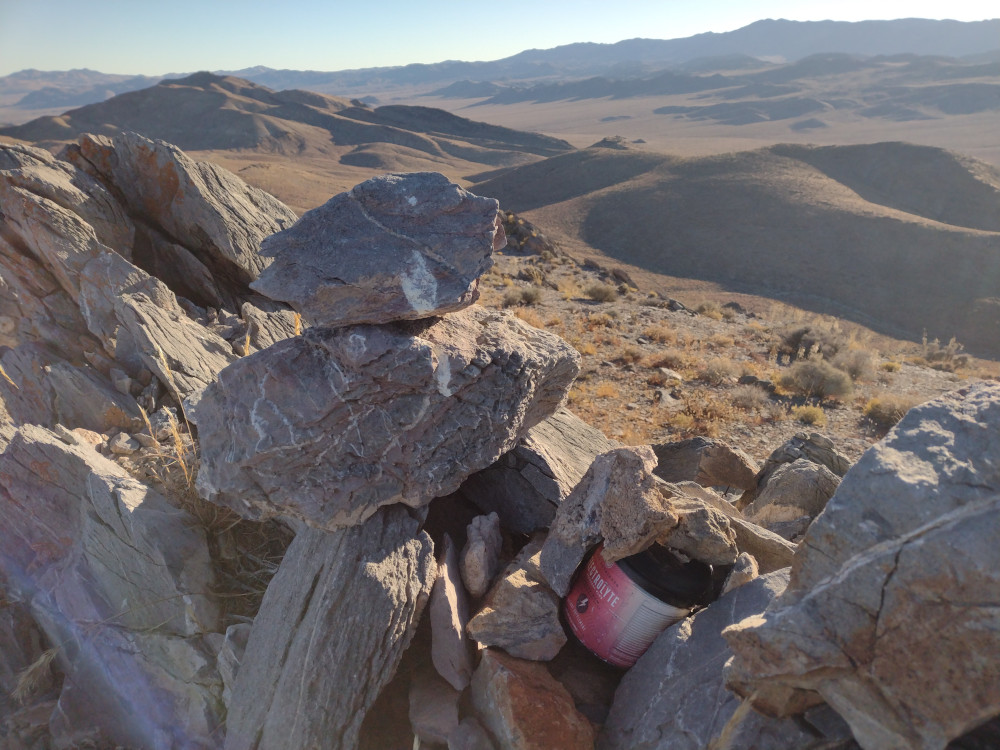
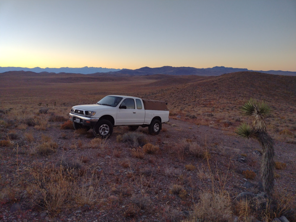
This is a pretty easy summit to bag, I’m kinda surprised nobody activated it before. From daylight pass road, turn off onto a dirt road at 36.75049,-116.9366. You could probably start the hike from here. I went a bit down the road and found an area to park that was out of the way, and started my hike from there. I didn’t find a register or any benchmarks at the top. Worked 10m, and 17m CW. On the way down I wasn’t paying attention and didn’t follow the track I took on the way up. This lead me to hike the ridge line almost all the way back to the paved road, and from there backtracked to the truck. It made a nice loop which I enjoyed.

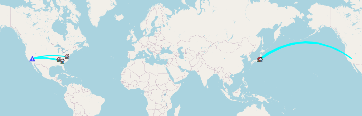
https://sotl.as/summits/W6/ND-250

Total distance: 2.51 mi
Max elevation: 4424 ft
Min elevation: 3497 ft
Total climbing: 1043 ft
Download file: 4403.gpx

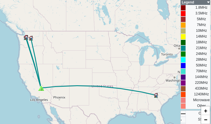
Date:09/11/2024 |  Summit:W6/ND-250 (4403) 
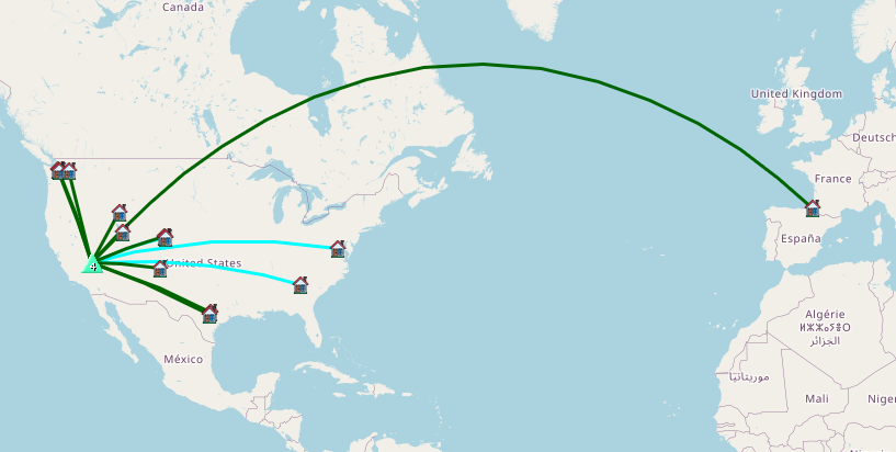
TimeCallsignBandModeNotes
20:01N0TA28MHzCWS58N R599
20:06K9WO28MHzCWS56N R44N
20:08W4GO28MHzCWS56N R52N
20:08KF6SH28MHzCWS52N R52N
20:10AA4AI28MHzCWS57N R33N
20:23N0DNF18MHzCWS57N R44N
20:24F4WBN18MHzCWS55N R5NN
20:25K7SO18MHzCWS57N R57N
20:26WB8BHN18MHzCWS57N R42N
20:28WW7D18MHzCWS55N R56N
20:28WU7H18MHzCWS53N R54N
20:30KK2B18MHzCWS31N R22N
20:31WB7ULD18MHzCWS45N R51N
20:32NU7A18MHzCWS56N R53N
20:33N0DET18MHzCWS53N R54N
20:34AK5SD18MHzCWS55N R52N
20:35AC7P18MHzCWS55N R55N

W7N/NS-217 – Burton Mountain

This peak is north east of Beatty, NV. I left Death Valley National Park after a day of driving around and headed to the ghost town of Rhyolite. Not much there as the name suggests. After checking out the ruins I went to buy gas in town and look up nearby SOTA opportunities. Burton Mountain was close and previously activated so, I knew it was accessible. I got as close to the summit as I could and parked where the two track road disappeared in the desert. From there I hustled up to the top. This was going to be a quick activation as I was running out of daylight. I don’t have a light and I don’t like hiking down hills in the dark. At the top there is a rock cairn and summit register. I quickly setup a Yaesu 817 with 10M EFHW and got to work. Made 8 QSOs in around 10 minutes, half of those being Japan DX. I relaxed for about 5 minutes and watched the sun disappear below the western mountain range, then started my descent. I got back to the truck just before it got dark and returned to Beatty, where I booked a cheap hotel room that advertised a hot tub. After checking in and navigating to the pool area, I found the hot tub was broken. Bummer.

https://sotl.as/summits/W7N/NS-217

Total distance: 0.7 mi
Max elevation: 4372 ft
Min elevation: 3941 ft
Total climbing: 411 ft
Download file: Burton.gpx

Date:09/11/2024 |  Summit:W7N/NS-217 (Burton Mountain) 

TimeCallsignBandModeNotes
00:27WB8BHN28MHzCWS57N R51N
00:29WD4CFN28MHzCWS58N R57N
00:30W4JKC28MHzCWS58N R56N
00:30JH1MXV28MHzCWS58N R53N
00:31W4GO28MHzCWS58N R51N
00:32JG0AW28MHzCWS55N R55N
00:33JJ1IZY28MHzCWS33N R53N
00:367N1FRE28MHzCWS57N R42N

W6/ND-126 – Darwin Benchmark

I made a trip out to Death Valley to activate some peaks in November. One the way there wanted to swing through the town of Darwin and look around as I’ve been curious about this place since watching a short documentary years ago. Near the town is Darwin Benchmark. Turn off Olancha Dawrin Road on a two track trail and follow it as far as you feel comfortable. The hike to the summit was pretty short, kinda steep, maybe half a mile. At the top was a rock cairn and summit register. I setup the antenna for 10M and got to work, having about 10 minutes before UTC. This only got me two contacts before 00:00. I then setup on 15M which got me another 5 QSOs after UTC. With the summit activated twice I started heading down. It was getting dark and I wanted to get off the mountain and two track trail before it got completely dark. Once on the paved road, it was completely dark, and I wasn’t sure where I was spending the night. Instead of heading to Darwin to look around, I went to the national park to find a place to camp. I’ll need to visit Darwin another day.

https://sotl.as/summits/W6/ND-126

Total distance: 0.97 mi
Max elevation: 5906 ft
Min elevation: 5281 ft
Total climbing: 651 ft
Download file: Darwin.gpx

Date:07/11/2024 |  Summit:W6/ND-126 (Darwin Benchmark)

TimeCallsignBandModeNotes
23:52KT0GVX28MHzCWS57N R55N
23:55WB8BHN28MHzCWS58N R51N

Date:08/11/2024 |  Summit:W6/ND-126 (Darwin Benchmark)

TimeCallsignBandModeNotes
00:07ZL1TMC21MHzCWS51N R52N
00:07WW7D21MHzCWS58N R55N
00:08NU7A21MHzCWS55N R53N
00:09WU7H21MHzCWS57N R55N
00:24W4JKC21MHzCWS57N R55N