W6/CT-044 -Onyx Peak

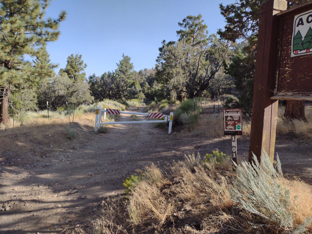
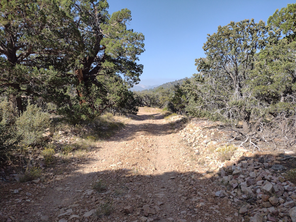
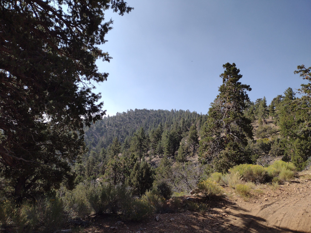
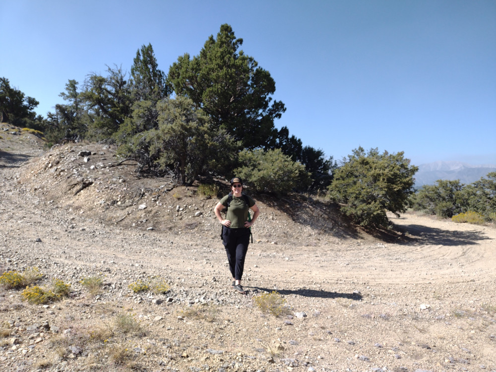
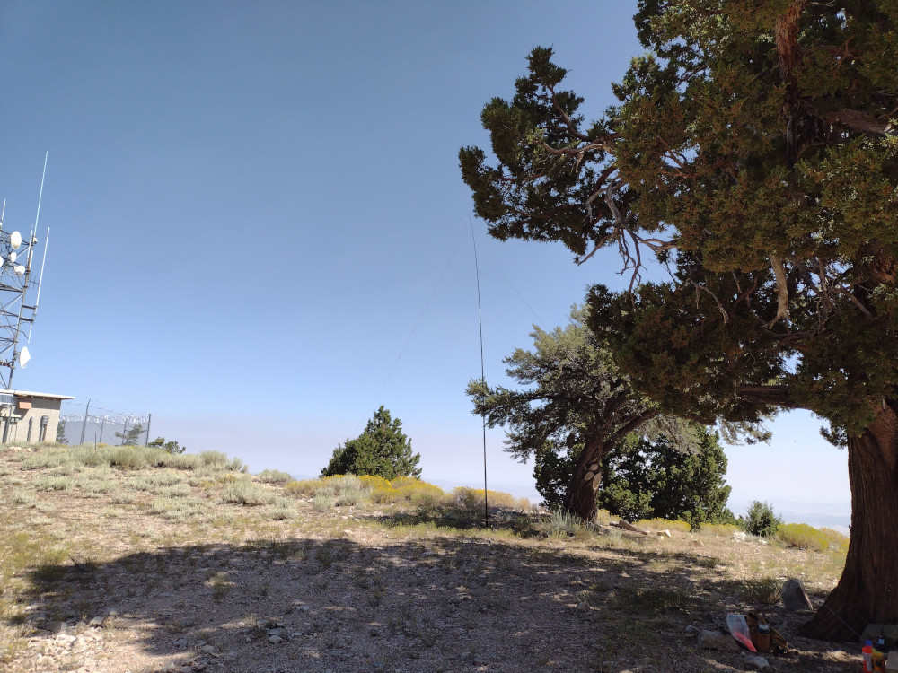
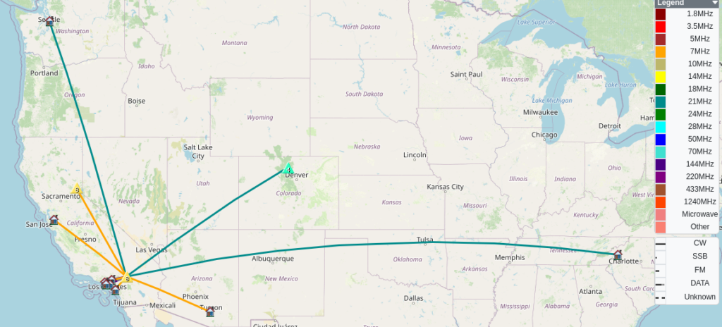
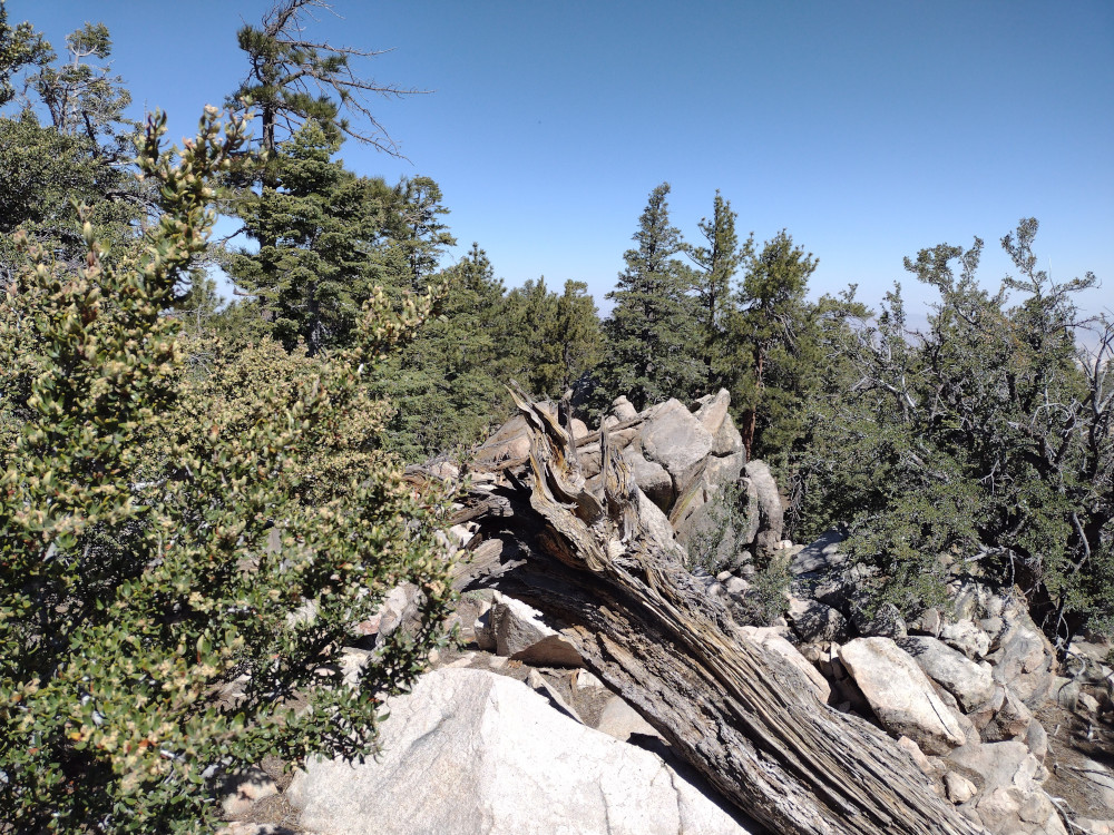
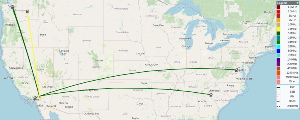
I’m not sure why I didn’t activate Onyx Peak earlier. I’ve driven by it several times, and even activated W6/CT-041just to the west. This would be an easy summit to mountain bike. It’s a bit under 6 miles round trip, but less than 1000′ of elevation gain on a maintained fire road. Kel and I parked at the locked gate off CA 38 and hiked up Pipes Canyon Road to the summit, which hosts several large communication installations – including a few amateur repeaters. Once there I was able to check into the Coffee Talk net on a 2M repeater in Yucca Valley while setting up my MTR4B with an EFHW antenna. I then heard several other SOTA ops hiking up to San Gorgonio. No S2S with them though. Worked 40m, 30m, and 20m CW. Talked to another hiker who was interested in amateur radio and explained the SOTA program. We hiked down the way we came, but considered a cross-country route down to make it a loop. Overall, easy summit, easy hike.

https://sotl.as/summits/W6/CT-044

Total distance: 5.87 mi
Max elevation: 9067 ft
Total climbing: 852 ft
Total time: 04:02:25
Download file: Onyx.gpx

Date:24/08/2024 |  Summit:W6/CT-044 (Onyx Peak) 

TimeCallsignBandModeNotes
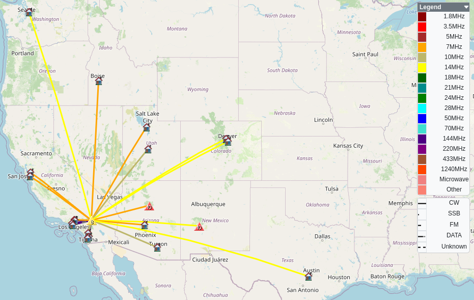
17:27KD7DTS144MHzFMS59 R59
17:28K6ARK144MHzFMS55 R55
17:28N6ARA144MHzFMS59 R59
17:29K6STR144MHzFMS59 R59
17:29W6LOR144MHzFMS59 R59
17:31NT6E144MHzFMS55 R53
17:40WB5USB14MHzCWS55N R55N
17:44KR7RK7MHzCWS58N R54N
17:46K6TUY7MHzCWS58N R56N
17:49K7MK7MHzCWS33N R22N
17:49WB6POT7MHzCWS53N R55N
17:50K7UOU7MHzCWS57N R599
17:51WB7ULD7MHzCWS42N R51N
17:52KN6OMN7MHzCWS52N R55N
18:03K6HPX10MHzCWS57N R54N
18:04K6KMH10MHzCWS55N R54N
18:06K7AMJ10MHzCWS56N R55N
18:07N6KM10MHzCWS58N R53N
18:22W0CP14MHzCWS55N R55N
18:23W0JSL14MHzCWS55N R53N
18:24WW7D14MHzCWS51N R53N
18:27AK5SD14MHzCWS44N R41N

Arctic Point – W6/CT-051

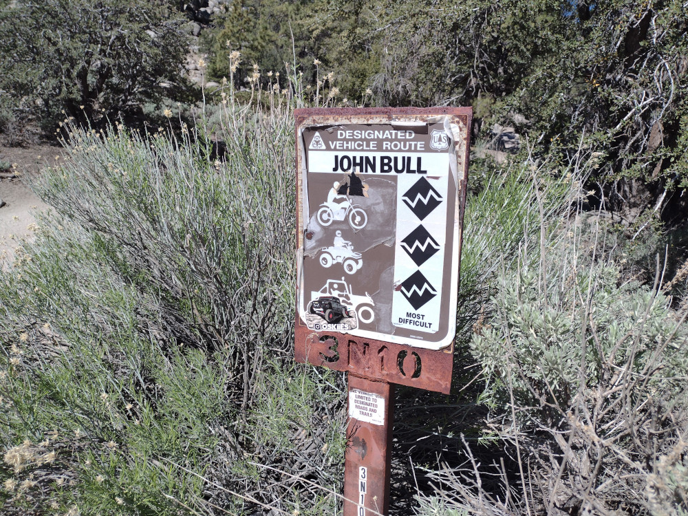
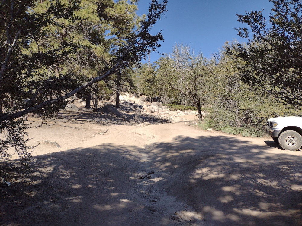
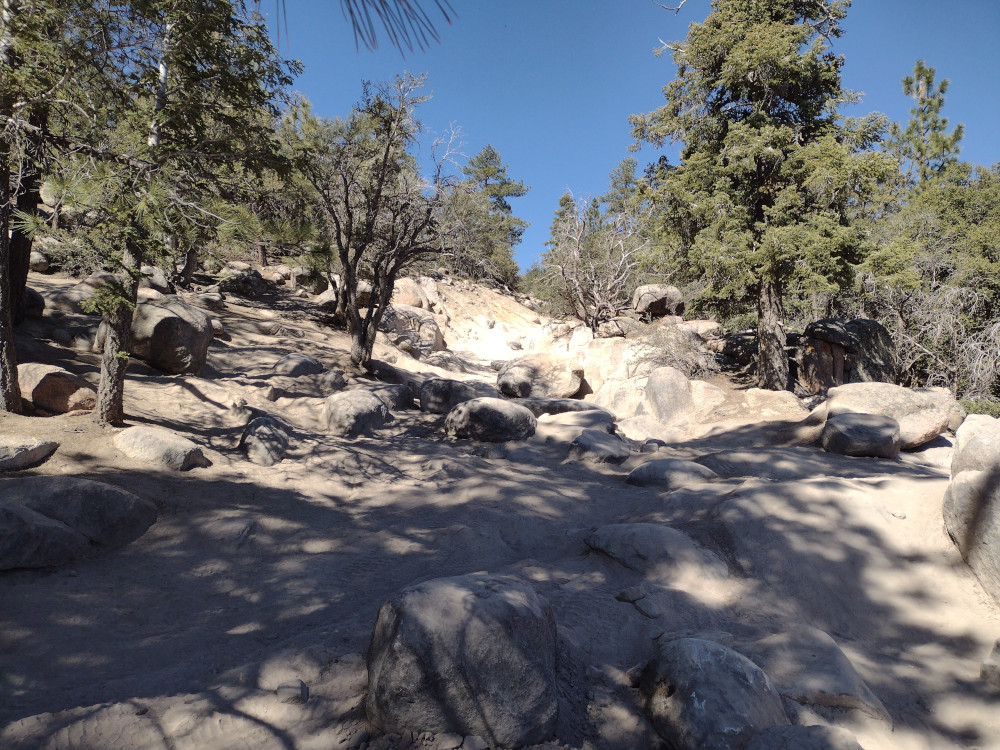
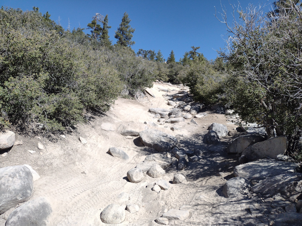
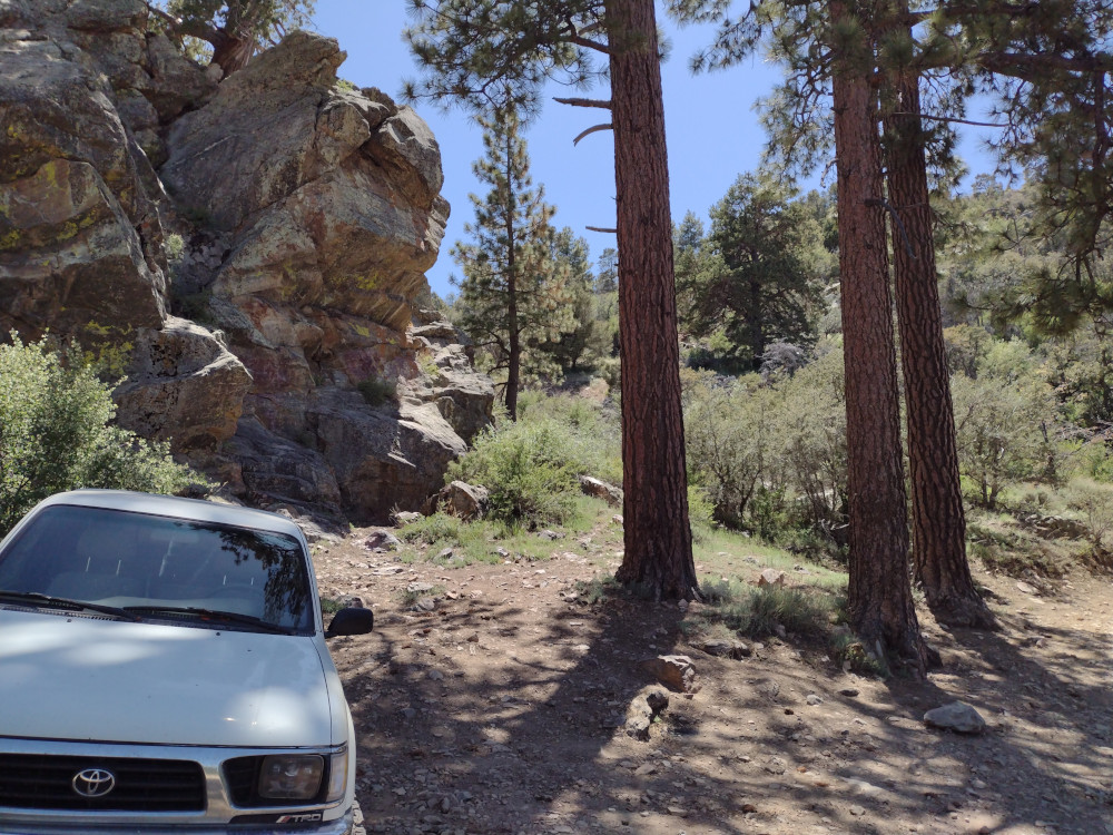
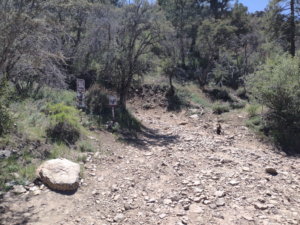
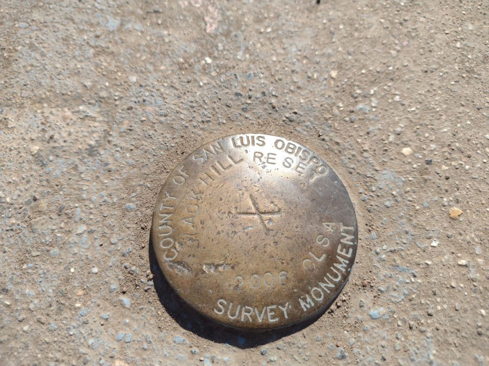
Arctic Point is near Big Bear, CA on the north side of the Holcomb Valley. I took the truck as far as I could on Hepburn Mine Road until I got to 3N10, John Bull trail, which is listed as a black diamond, most difficult. Once you see it you will know why. From there I hiked 1.5ish miles to the top, including some cross country. The summit is rock which requires a short scramble to the the benchmark. I used a EFHW antenna stretched across the rock to my KH1 for the activation. Worked several bands until the KH1 started overheating and stopped transmitting. I was getting pretty warm myself so I packed up and headed back to the truck.

https://sotl.as/summits/W6/CT-051

Total distance: 2.89 mi
Max elevation: 8329 ft
Total climbing: 698 ft
Total time: 02:40:19
Download file: ArticPoint.gpx

Date:31/05/2024 |  Summit:W6/CT-051 (Arctic Point) 

TimeCallsignBandModeNotes
17:26N6JNY144MHzFMS59 R59
17:27KI6SLA144MHzFMS55 R55
17:28NT6E144MHzFMS47 R57
17:39N4LAG21MHzCWS55N R42N
17:47WU7H21MHzCWS52N R31N
17:52KX0R21MHzCWS2S W0C/FR-155 S55N R55N
18:09K6HPX7MHzCWS58N R52N
18:10KD7DTS7MHzCWS559 R33N
18:12WB6POT7MHzCWS2S W6/NS-204 S52N R55N
18:13KN6OMN7MHzCWS56N R55N
18:14KN6RDC7MHzCWS52N R5NN

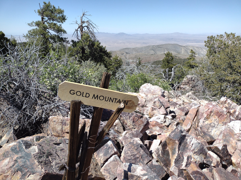
W6/CT-053 – Gold Mountain 🏔️

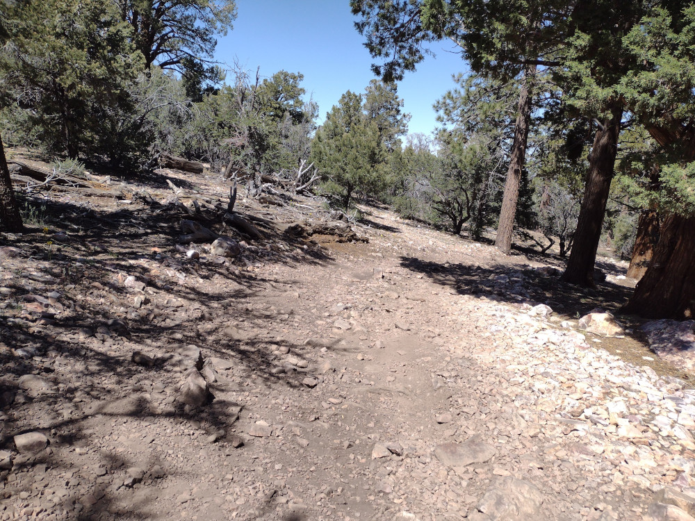
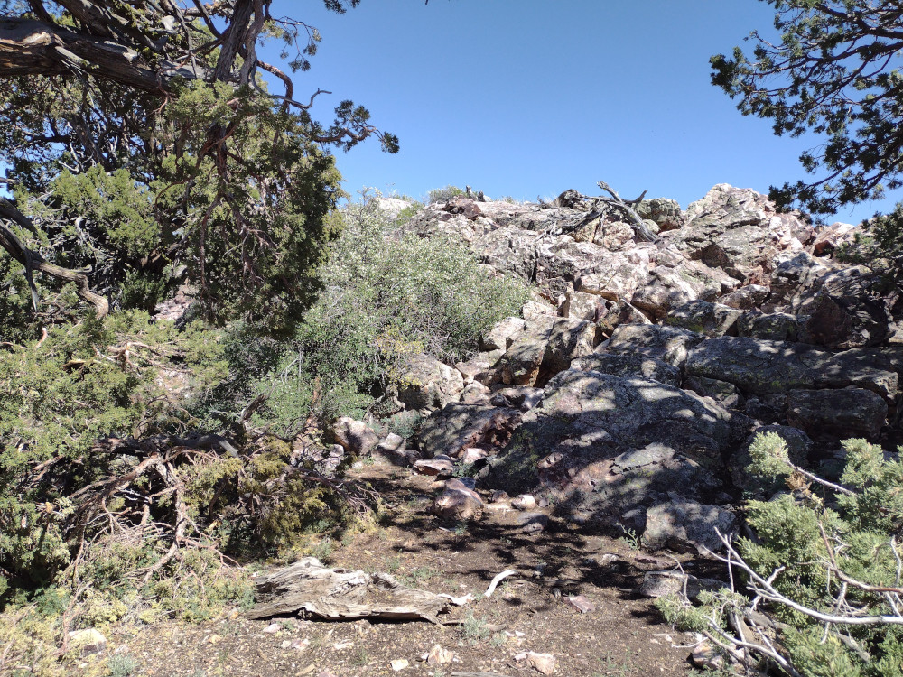
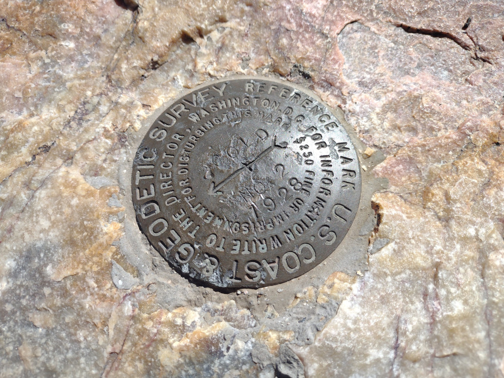
I started my trip up Gold Mountain from 3N16/ Holcomb Valley Road and parked the truck near Gold Mountain Road and hiked 1.5 miles to a large clearing. From there, a short cross country hike gets you to the actual summit. The top is small and rocky, so I used the KH1 internal whip over a full size antenna. Worked 10 stations across 15, 17, and 20M, then headed back down the way I came.

https://sotl.as/summits/W6/CT-053

Total distance: 3.16 mi
Max elevation: 8213 ft
Total climbing: 892 ft
Total time: 02:31:09
Download file: GoldMountain.gpx

Date:30/05/2024 |  Summit:W6/CT-053 (Gold Mountain) 

TimeCallsignBandModeNotes
22:40WU7H18MHzCWS559 R52N
22:41W4GO18MHzCWS56N R54N
22:42K6KWV18MHzCWS53N R23N
22:44WW7D18MHzCWS58N R53N
22:45K9WO18MHzCWS58N R55N
22:50W4JKC18MHzCWS57N R55N
23:01K5FNQ14MHzCWS55N R57N
23:04W7GB14MHzCWS57N R55N
23:05N4DH14MHzCWS56N R22N
23:08KI6PXV14MHzCWS55N R57N

W6/SC-378 – Black Hill

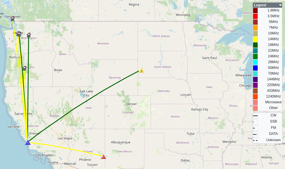
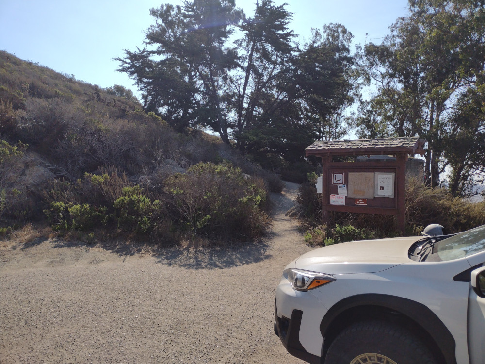
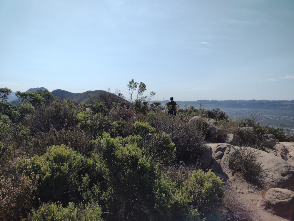
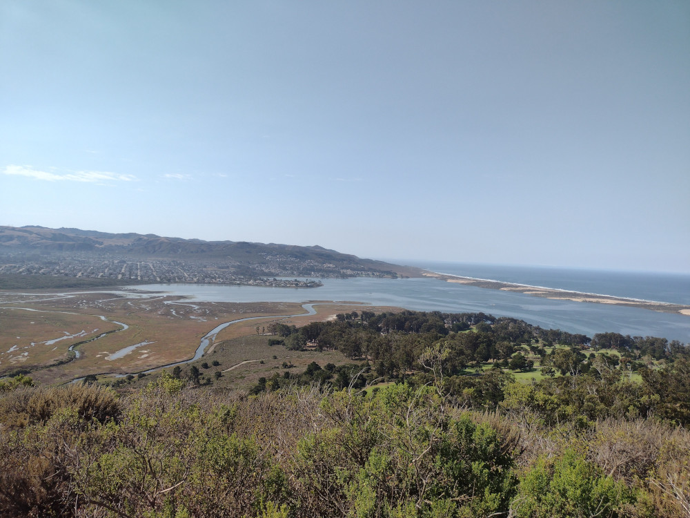
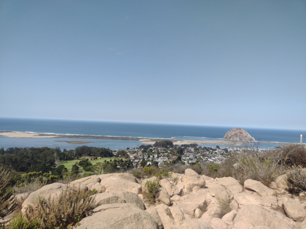
Black Hill is a easy 1 point summit in Morro Bay with beautiful views of the ocean. You can drive most of the way to the top, free parking at the trailhead. After that it’s an easy walk to the summit on a well traveled dirt path. I brought along a KH1 and used the internal whip antenna. There is room for a full sized antenna, but the area is kinda small and a popular place to visit, so I didn’t want wires everywhere. Worked 15M, 17M and 20M and quickly logged 7 stations, including two S2S.

https://sotl.as/summits/W6/SC-378

Total distance: 0.56 mi
Max elevation: 647 ft
Total climbing: 175 ft
Total time: 00:58:59
Download file: BlackHill_AG6N.gpx

Date:06/09/2024 |  Summit:W6/SC-378 (Black Hill) 

TimeCallsignBandModeNotes
17:22WW7D18MHzCWS58N R57N
17:23NU7A18MHzCWS56N R55N
17:25KT0A18MHzCWS2S W0D/BB-030 S52N R55N
17:34N7KOM14MHzCWS57N R55N
17:35VA7JCF14MHzCWS52N R22N
17:37WU7H14MHzCWS55N R52N
17:42N1CLC14MHzCWS2S W7A/AE-016 S52N R52N

W6/SC-377 – Valley View Benchmark

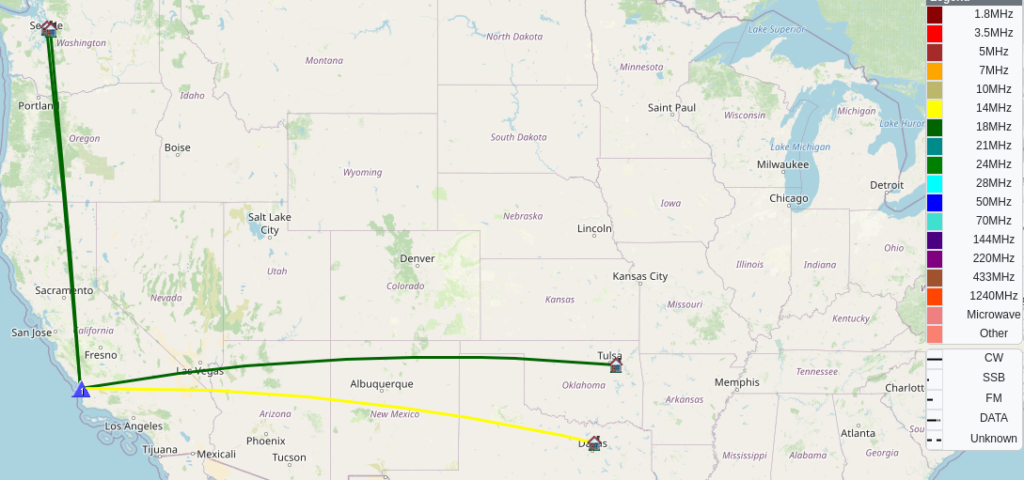
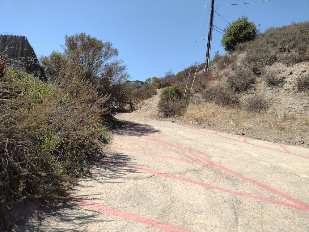
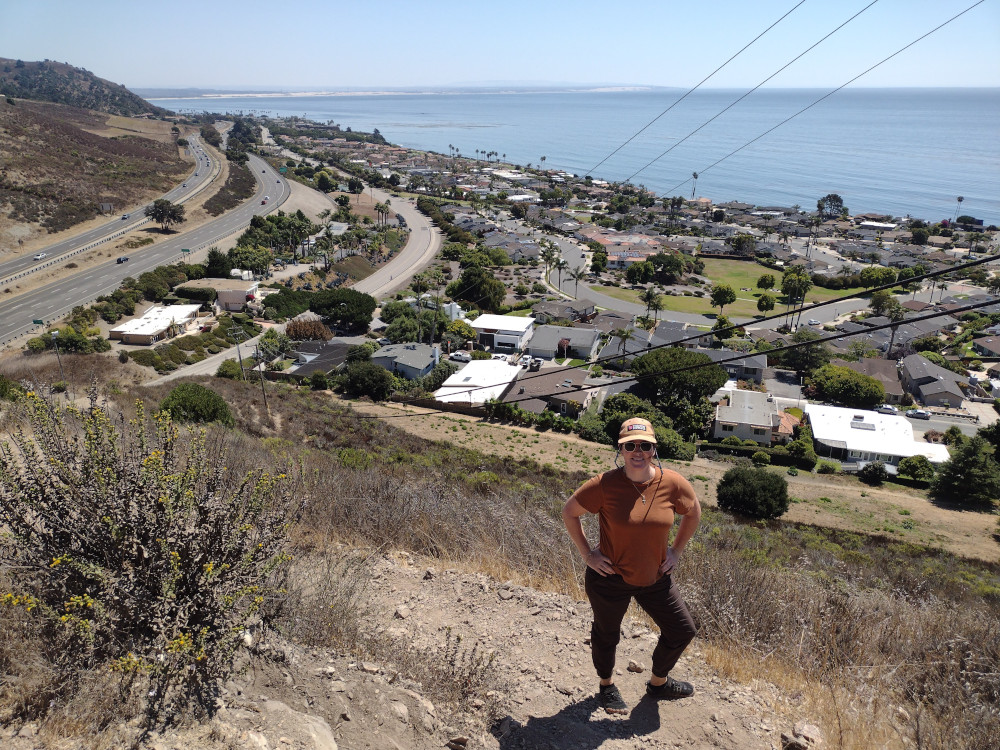
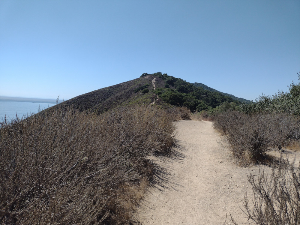
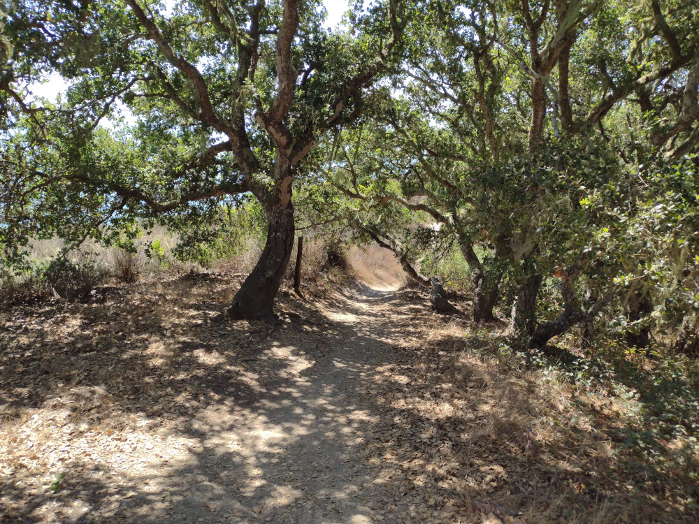
Kel and I hiked up to this summit on the way up to Morro Bay. Down by the trailhead the temperature was a nice, cool 75F with a calm ocean breeze. This abruptly changed as we ascended. Inland temperatures around 100F were blowing over the ridge the trail follows. There is little shade and I was uncomfortably hot. Quite a bit of poison oak along the trail. A communications site is at the top with a few trees offering much appreciated shade and a view of the ocean. I used the KH1 and worked 15m, 17m, and 20m on the internal whip. Didn’t get a ton of QSOs but enough for a valid activation.

Total distance: 1.94 mi
Max elevation: 718 ft
Total climbing: 627 ft
Total time: 01:48:17
Download file: ValleyView.gpx

Date:05/09/2024 |  Summit:W6/SC-377 (Valley View Benchmark) 

TimeCallsignBandModeNotes
21:49AJ0BM21MHzCWS56N R44N
22:01W5ODS18MHzCWS44N R32N
22:02WW7D18MHzCWS57N R51N
22:05WU7H18MHzCWS57N R33N
22:08K5SJC14MHzCWS58N R53N