Sorry for the sideways video…..
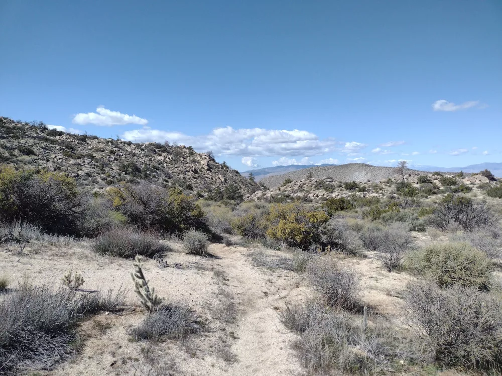
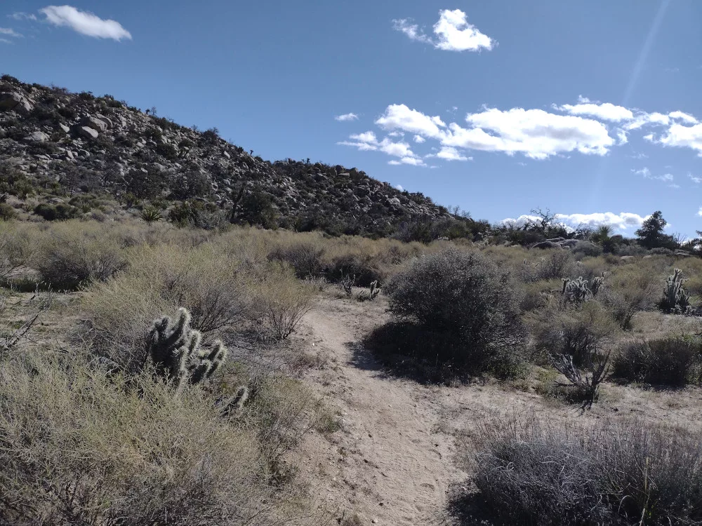
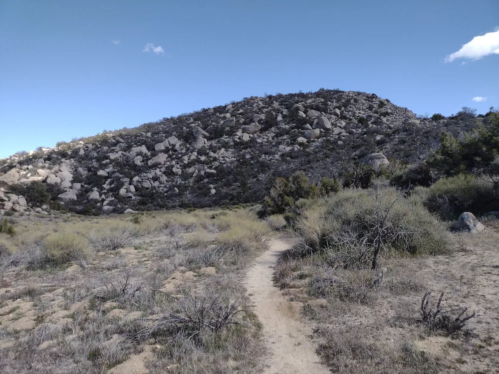
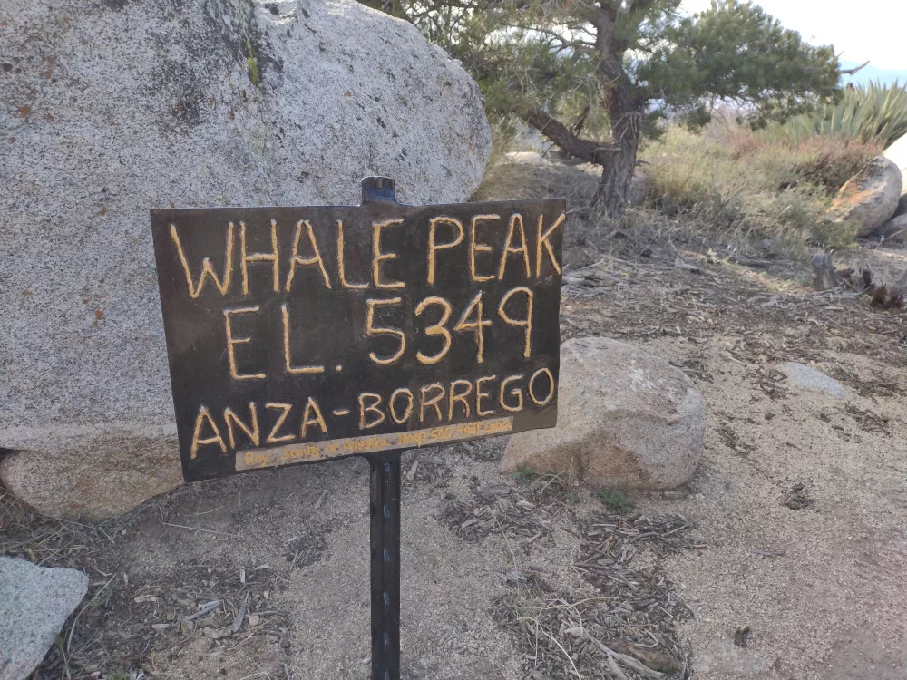
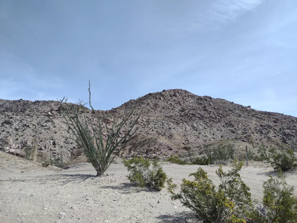
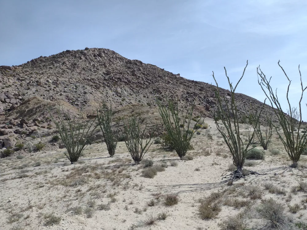
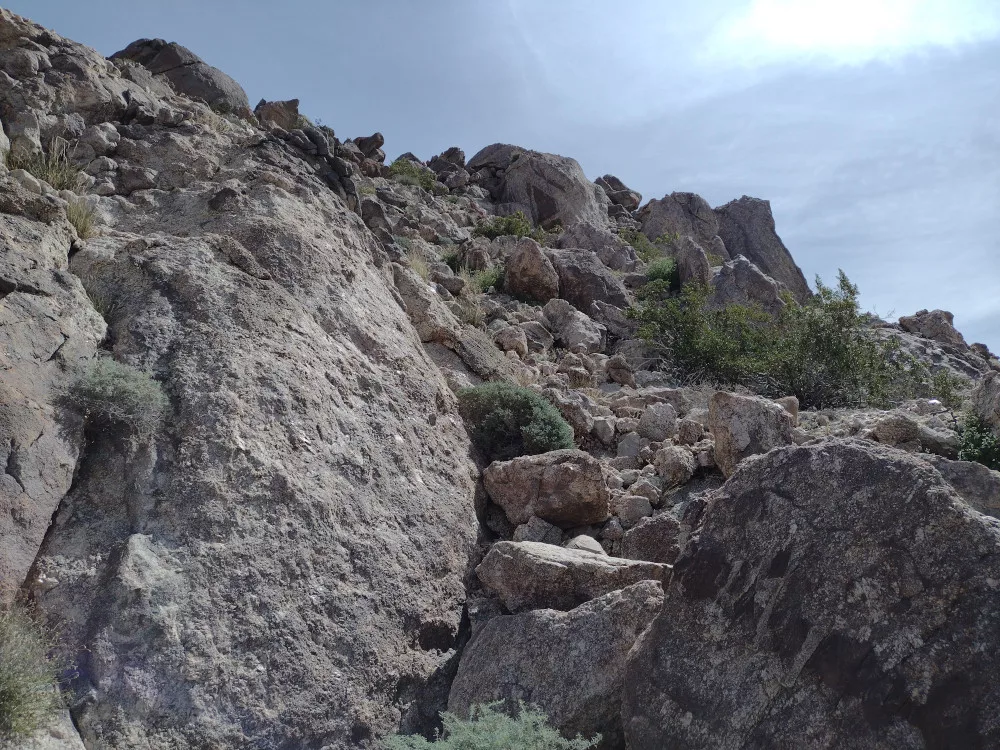
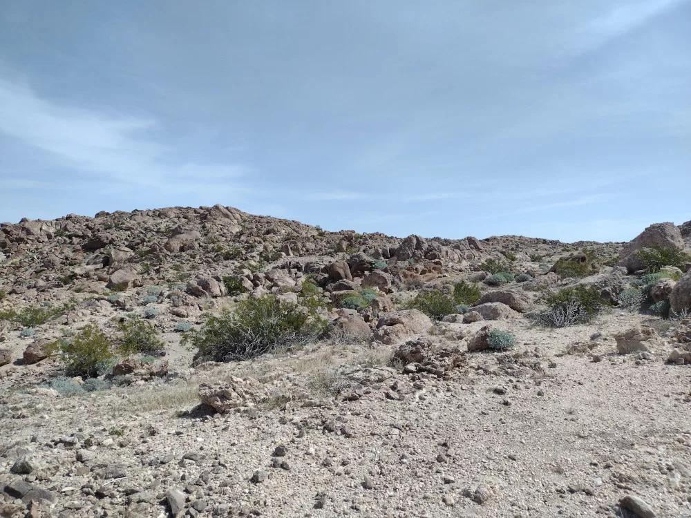
Whale Peak is in Anza-Borrego Desert State Park, so this counts as POTA in addition to a SOTA activation if that’s your thing. You should probably be in a high clearance vehicle to get to the trailhead. Once there, the actual trail wasn’t obvious. You need to scramble up some granite boulders, at which point a well defined trail becomes visible. If I recall, there are two places where the trail kinda disappears, so bring a GPS with a map loaded.
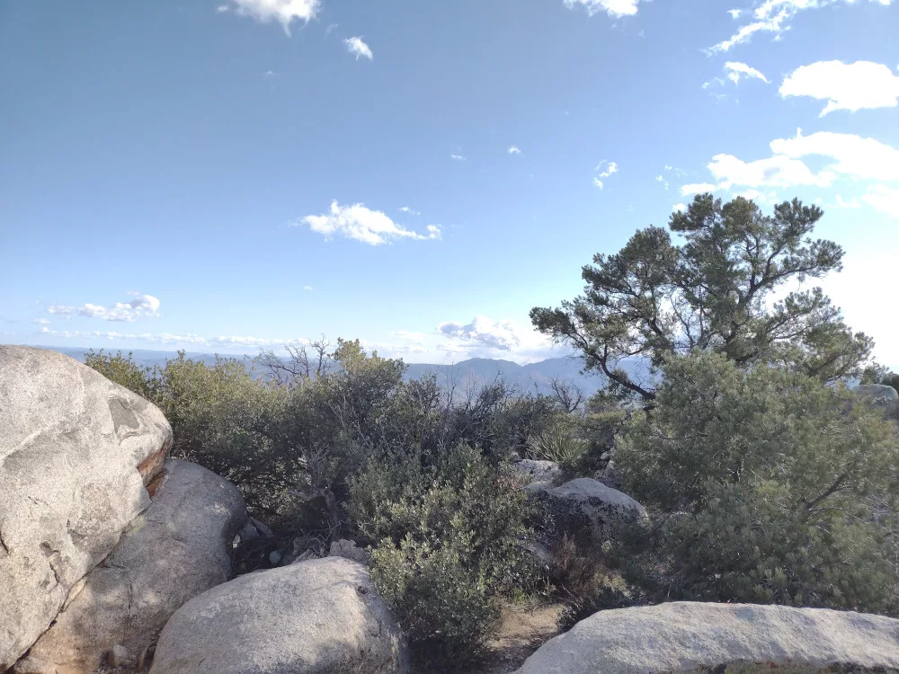
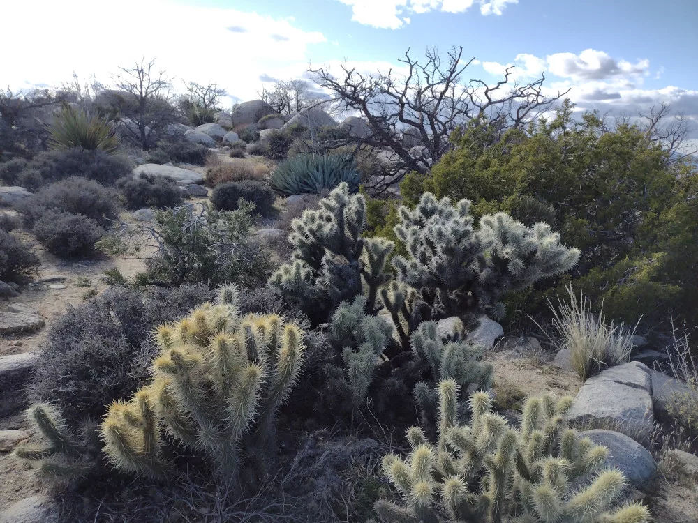
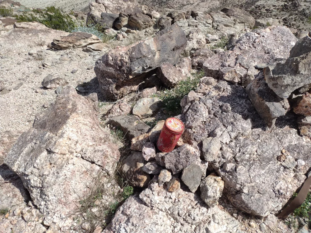
The summit is beautiful, with Pinion Pines, Cholla, Creosote, and other desert plants. Once at the top I worked 20m and 40m CW. Attempted to use my new KH1, but ended up using a MTR 4b. Cold wind was starting to pickup, so I headed back down the hill and drove to a secret camping spot for the night. If you’re in the area, don’t skip this one.
https://sotl.as/summits/W6/SD-046
Total climbing: 1668 ft
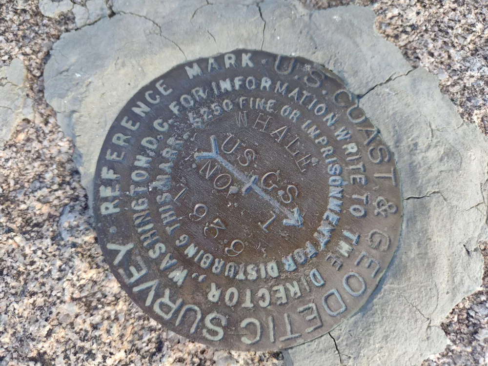
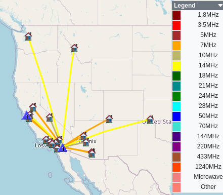
Date:08/03/2024 | Summit:W6/SD-046 (Whale Peak)
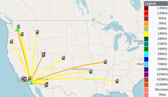
| Time | Callsign | Band | Mode | Notes |
|---|---|---|---|---|
| 22:31 | WB7ULD | 14MHz | CW | S559 R539 |
| 22:34 | NB7O | 14MHz | CW | S53N R52N |
| 22:46 | NT6E | 7MHz | CW | S58N R57N |
| 22:48 | WU7H | 7MHz | CW | S51N R53N S2S W7W/CW-047 |
| 22:50 | WW7D | 7MHz | CW | S51N R41N S2S W7W/CW-047 |
| 22:50 | K6HPX | 7MHz | CW | S52N R57N |
| 22:51 | K6CPR | 7MHz | CW | S57N R55N |
| 22:52 | KX6I | 7MHz | CW | S31N R55N |
| 22:53 | NK6A | 7MHz | CW | S57N R599 |
| 22:54 | W7GA | 7MHz | CW | S56N R55N |
| 22:55 | N0MI | 7MHz | CW | S55N R55N |
| 23:04 | AC6M | 14MHz | CW | S55N R55N |
| 23:05 | NU7A | 14MHz | CW | S53N R33N |
| 23:06 | KF8IV | 14MHz | CW | S53N R55N |
| 23:07 | W5ODS | 14MHz | CW | S57N R57N |
| 23:08 | N7EDK | 14MHz | CW | S55N R55N |
| 23:09 | N7BYD | 14MHz | CW | S51N R55N |
| 23:10 | AF9W | 14MHz | CW | S51N R52N |
| 23:11 | KN6OMN | 14MHz | CW | S57N R55N |
| 23:12 | W0JSL | 14MHz | CW | S57N R53N |
| 23:13 | NE7ET | 14MHz | CW | S599 R599 |
| 23:15 | WN4AT | 14MHz | CW | SS7N R44N |
| 23:16 | KA5VZE | 14MHz | CW | S31N R57N |
| 23:17 | W6TDX | 14MHz | CW | S56N R55N |
| 23:18 | WB7BHN | 14MHz | CW | S53N R51N |