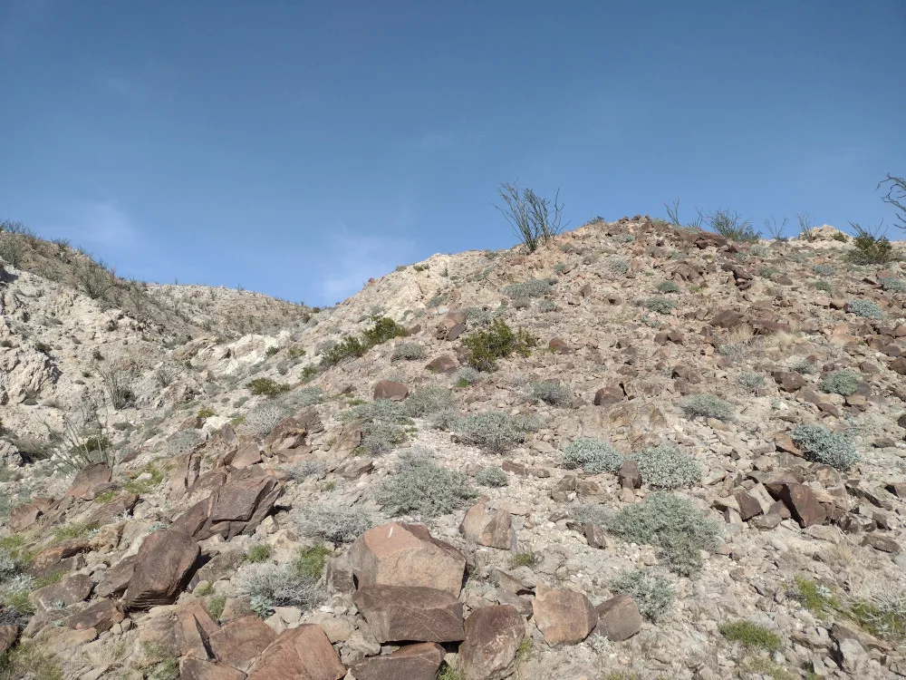
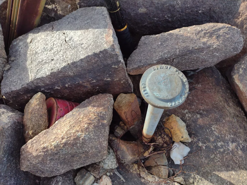
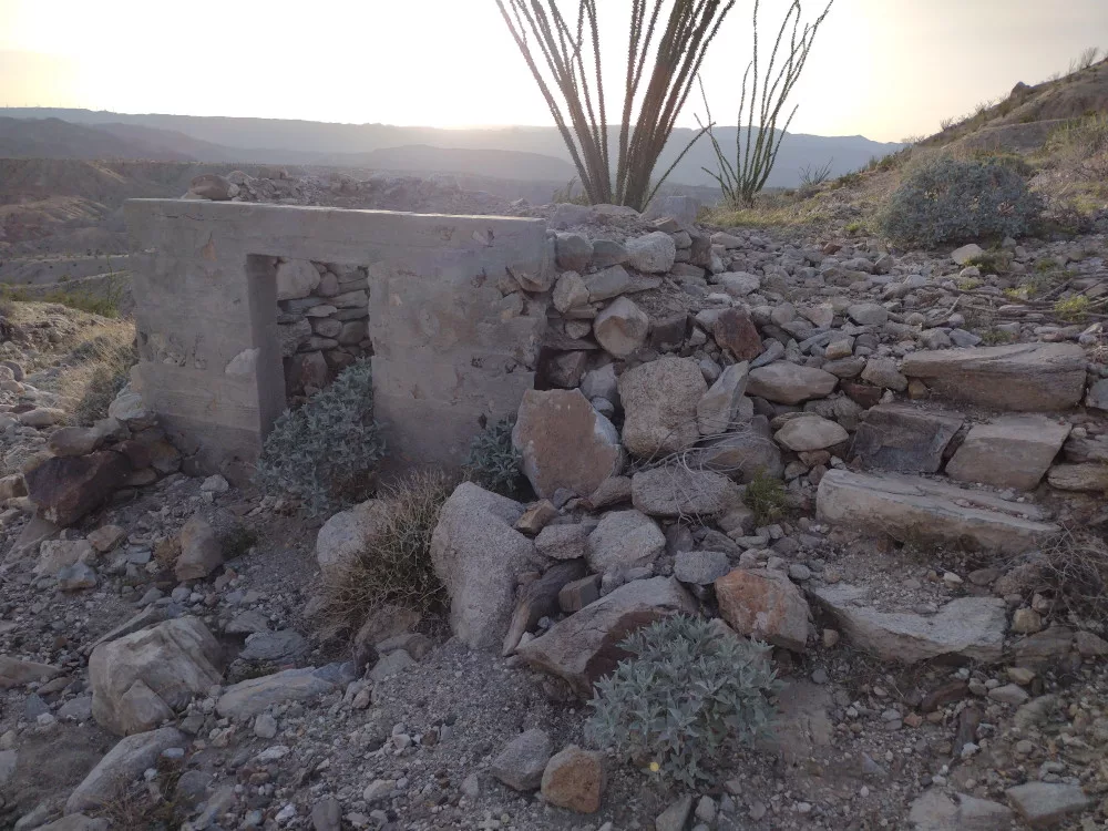
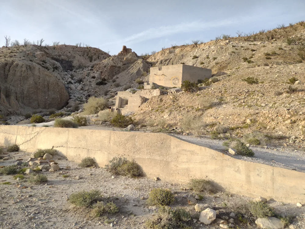
This was the third and last SOTA activation over a weekend trip to Anza-Borrego. It was later in the day and I needed to pick up my bike-packing pals in a few hours not too far from this summit so I had to make it a quick one. I parked the Jeep off the main road to the mine ruins, just before an area where the road was washed out, then hiked. I followed an old service road that went to the top of the mine ruins, then a sketchy scramble up a steep embankment to continue on. I’m glad I had some tracks to follow, as there are several ridges one could follow that dead-end; one could get somewhat lost up there. After a spirited walk to the top, I signed the register and waited for 00:00 UTC to start my activation. I stretched out my EFHW antenna and connected it to an MTR4B, first working 40M, then 20M. I got a text from the bike packing group with an ETA for their pickup so I packed up and headed down the hill the same way I came. The sketchy part was worse coming down, but overall it was a pretty easy hike, and perhaps my favorite of the weekend. After picking up the bike packing group, we went to Agua Caliente County Park for a dip in their excellent hot spring pool.
https://sotl.as/summits/W6/SD-396
Total climbing: 877 ft

Date:10/03/2024 | Summit:W6/SD-396 (Mine Benchmark)
| Time | Callsign | Band | Mode | Notes |
|---|---|---|---|---|
| 00:05 | K6CPR | 7MHz | CW | S55N R52N |
| 00:11 | N9OSW | 14MHz | CW | S33N R55N |
| 00:15 | N6MTB | 14MHz | CW | S21N R33N S2S W6/SC-454 |
| 00:17 | KJ7DT | 14MHz | CW | S55N R55N |
| 00:18 | WB7BWZ | 14MHz | CW | S57N R57N |
| 00:19 | WW7D | 14MHz | CW | S57N R54N |
| 00:22 | WB7HMA | 14MHz | CW | S55N R44N |
| 00:23 | AK4JA | 14MHz | CW | S54N R55N |


