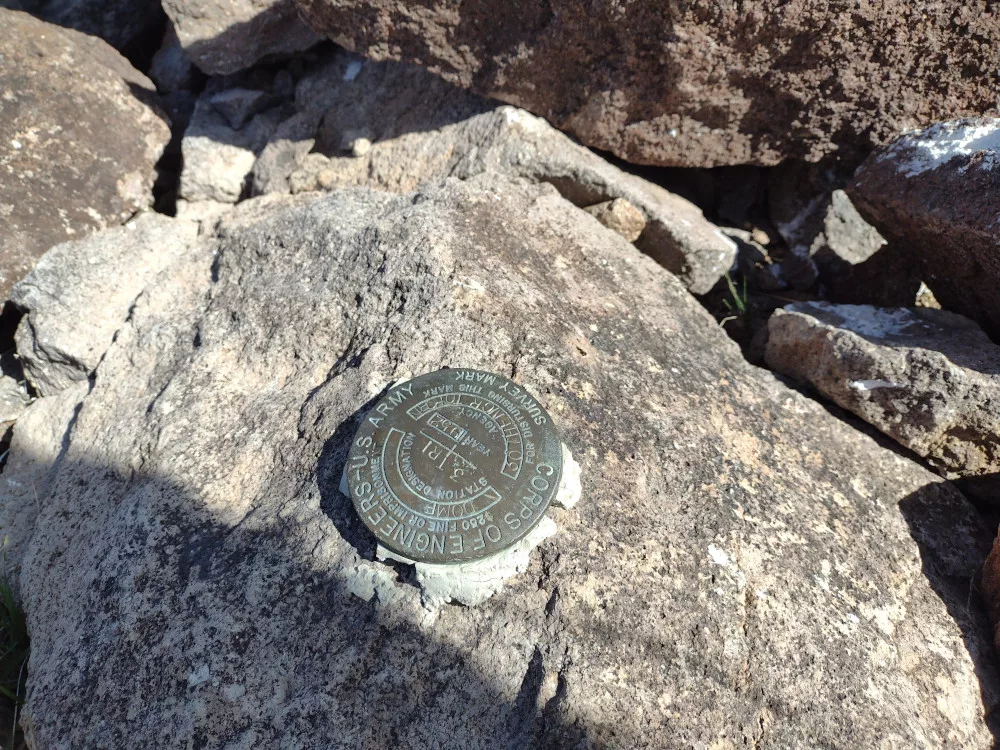
I woke up in the back of my truck after a long night of camping shenanigans. E. was up making coffee and was on the fence about doing another hike after climbing Dome Mountain the previous day. I was too honestly. E. headed home and I said, “screw it, I’m basically already there”. I think that extra bit of motivation came from the fact that nobody had ever activated this summit before – I would be the first!
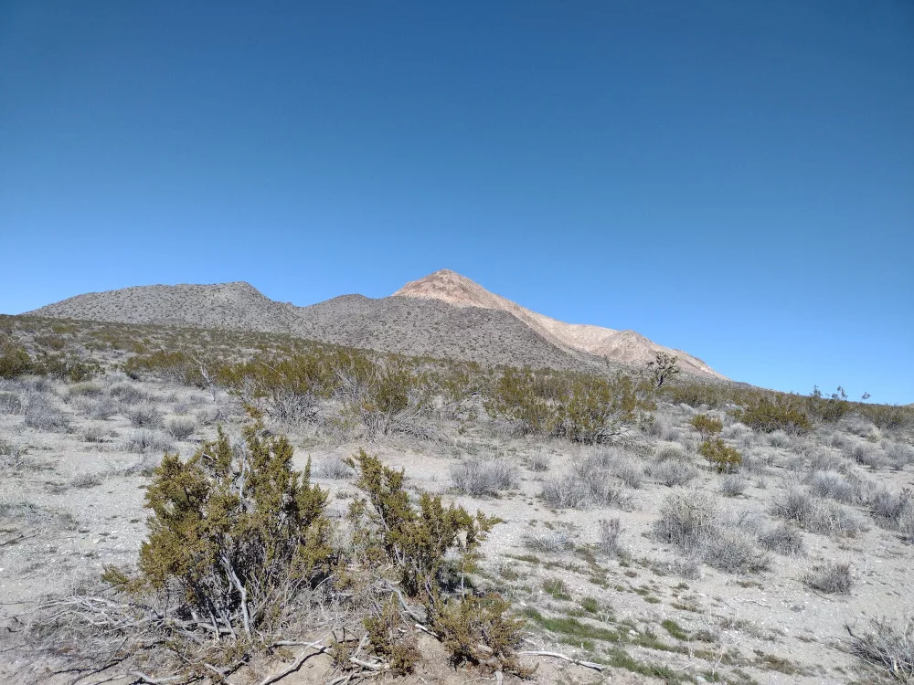
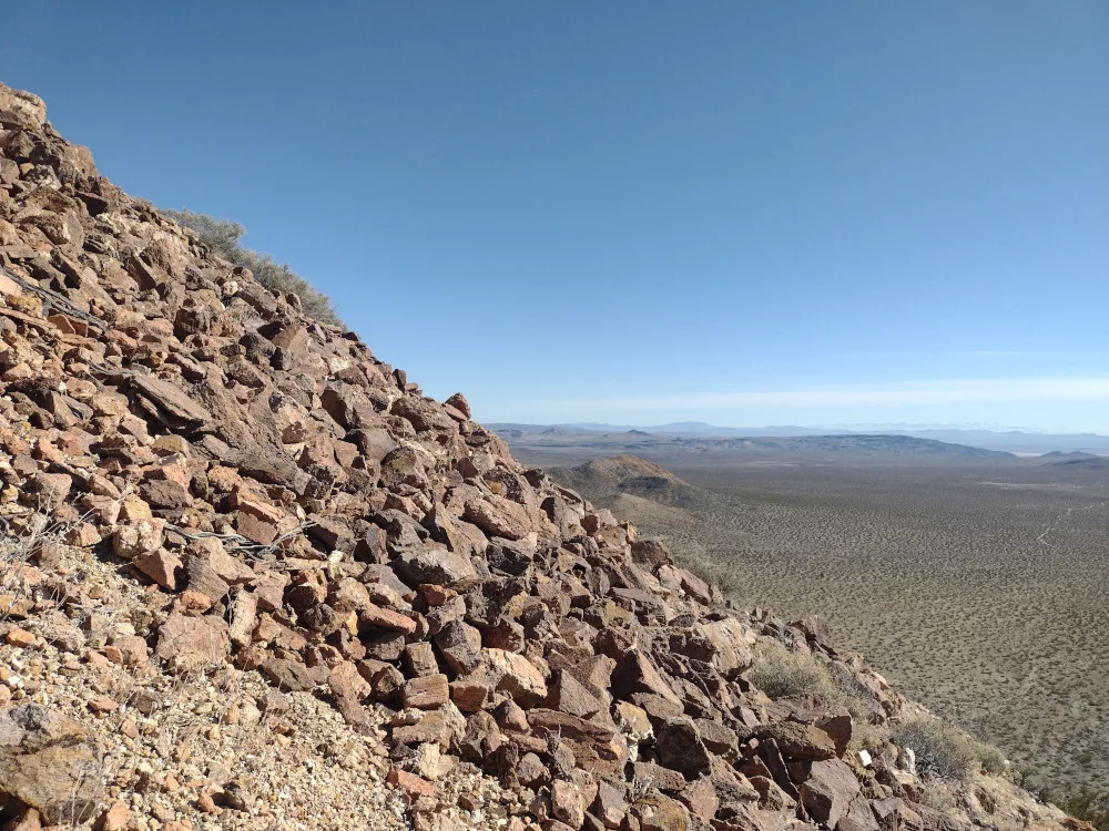
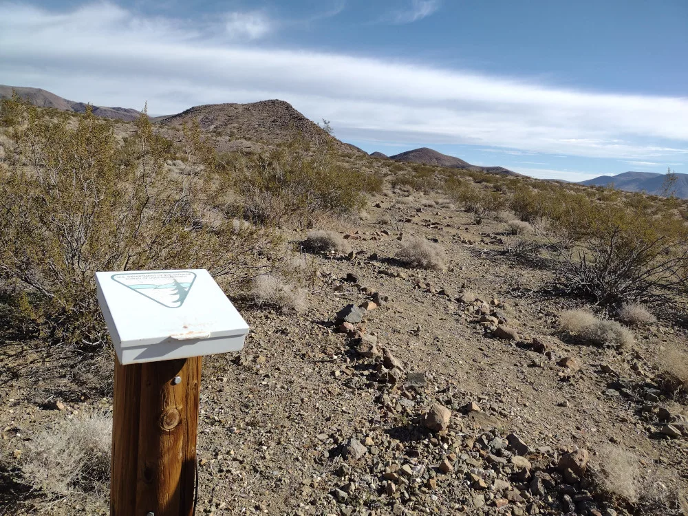
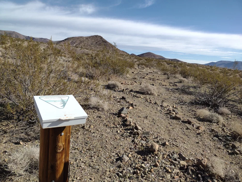
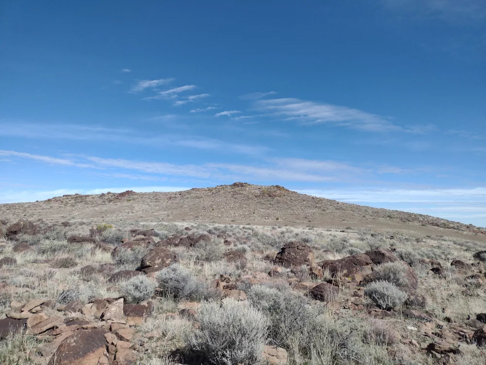
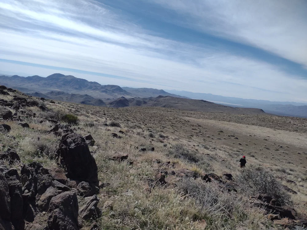
It took an hour to drive dirt roads which lead into a wilderness area. Near the summit there was a small area to park off the road. I left the truck and started slowly hiking up the hill. It’s about two miles round trip with 1,000′ of elevation gain, so pretty steep. There was several areas of loose talus and scree which required careful movements. I slipped multiple times on this one so maybe I wasn’t careful enough haha.
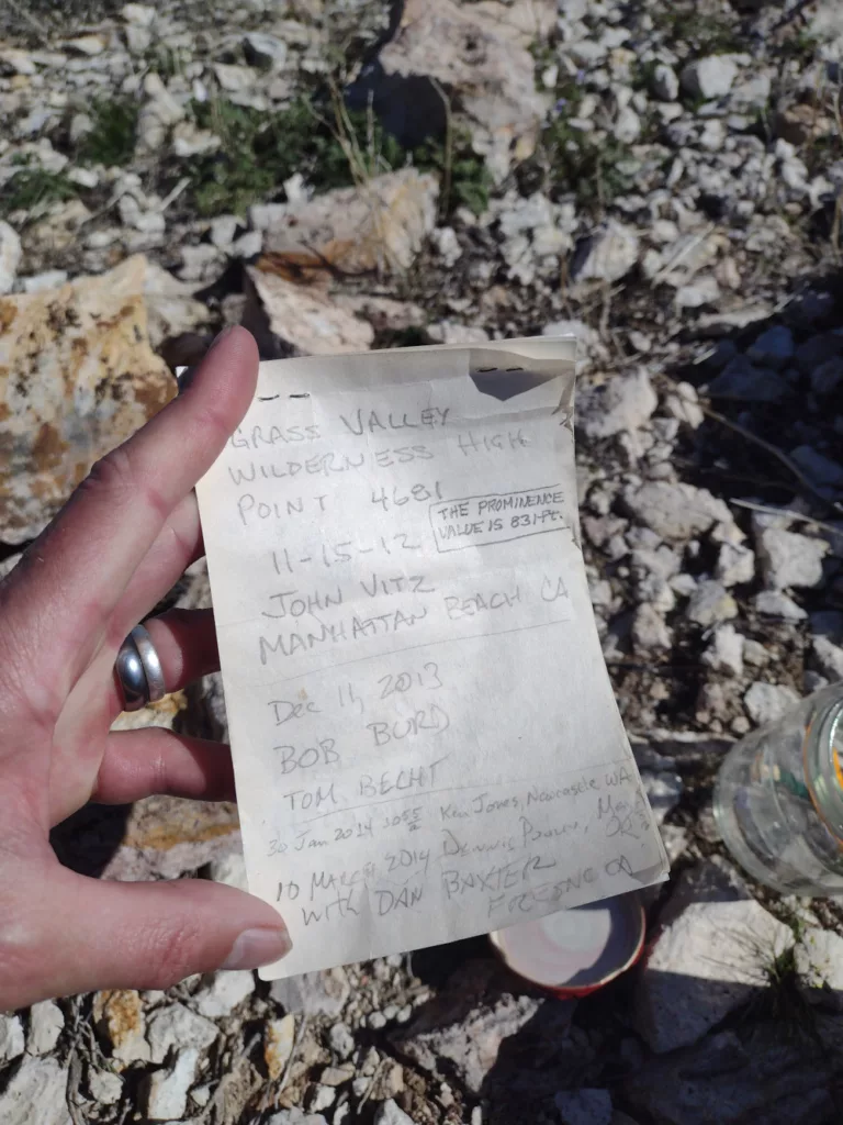
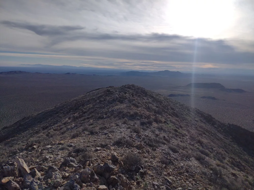
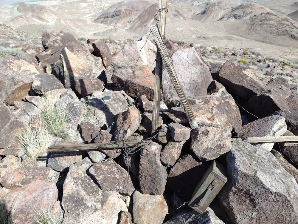
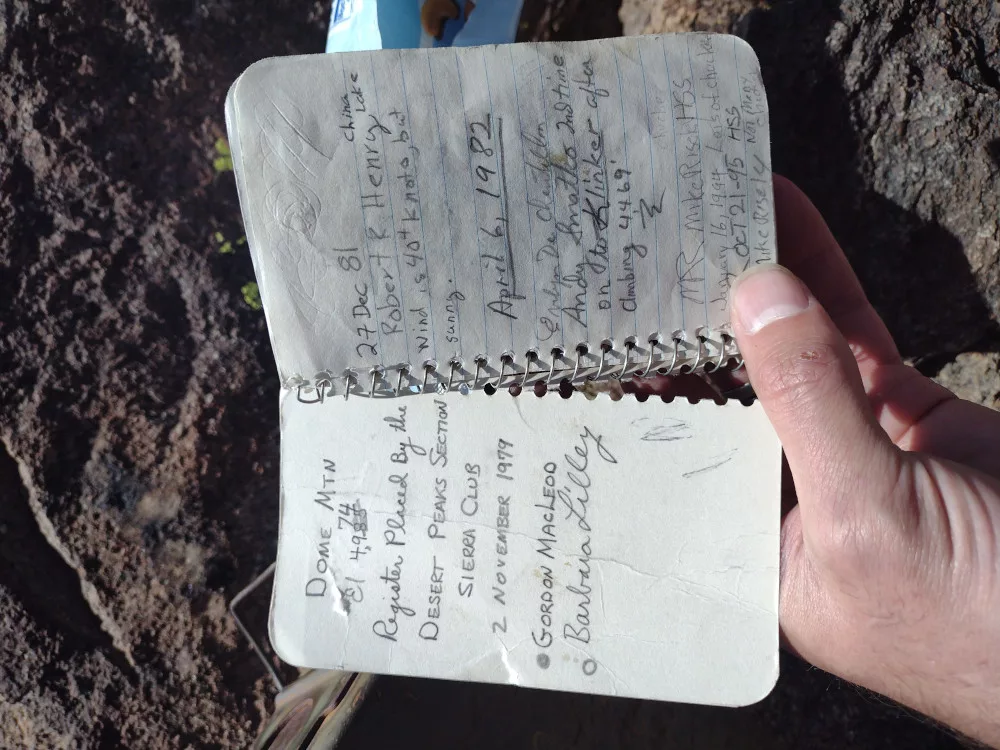
The top is a sharp ridge with enough space to put up a dipole or EFHW antenna. There is a register from 2012 which had more entries than Dome Mountain. Worked 15m and 17m on the new KH1. When I went to connect it to my 20m, 30m, and 40m EFHW antenna it had high SWR on all bands and I couldn’t figure out why; luckily I had a backup radio for 40m.
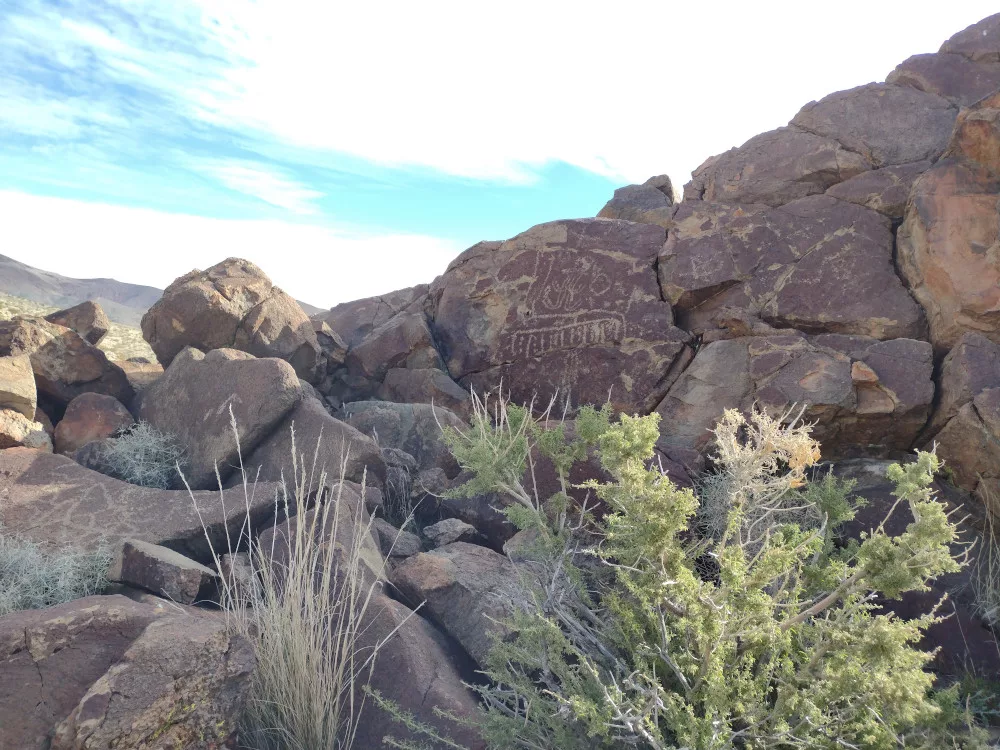
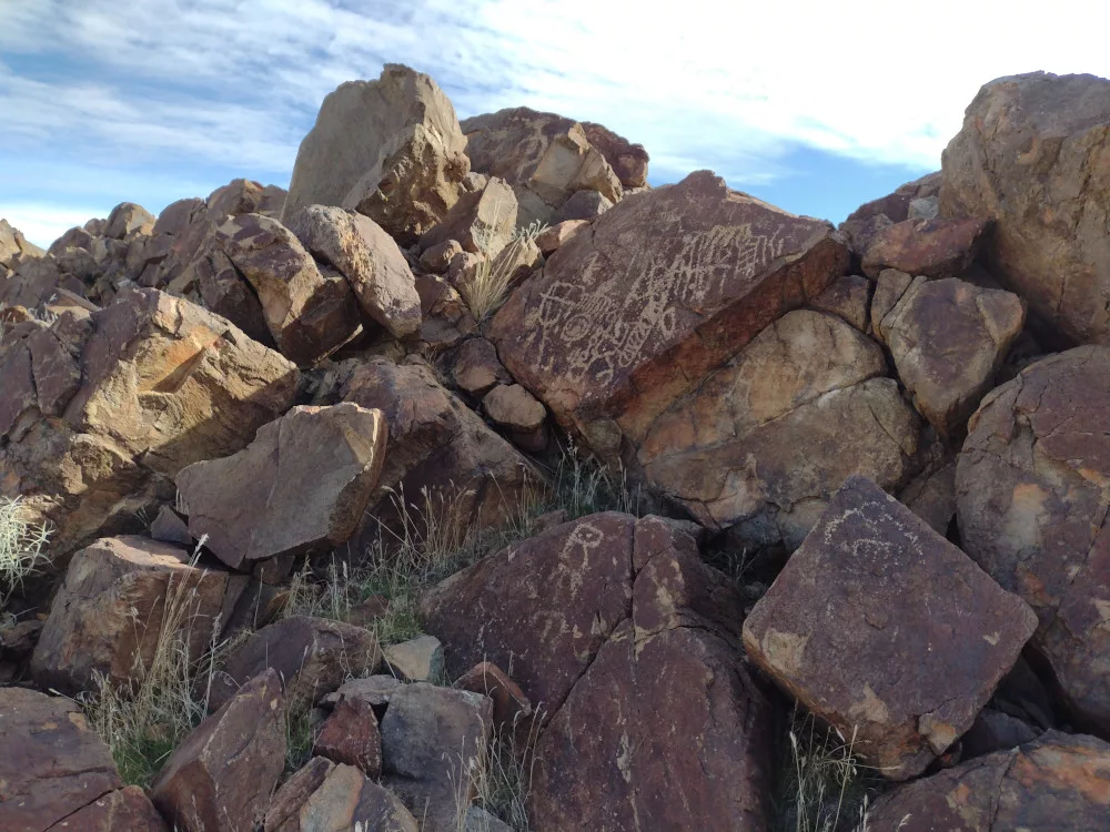
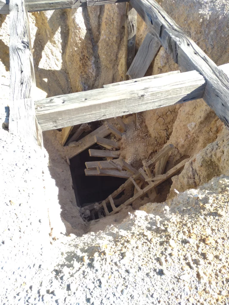
I headed down the same way I went up, sliding on the scree made for a quick decent. Once at the truck I back tracked to HWY 395, but made a few stops to explore some mining ruins and various other desert curiosities. By the time I got to the paved road it was dark. Perfect timing!
https://sotl.as/summits/W6/ND-228
Total climbing: 999 ft

Date:18/02/2024 | Summit:W6/ND-228 (Grass Valley Wilderness HP)
| Time | Callsign | Band | Mode | Notes |
|---|---|---|---|---|
| 22:32 | 7N1FRE | 21MHz | CW | S51N R31N |
| 22:34 | JA1VVH | 21MHz | CW | S51N R51N |
| 22:35 | WU7H | 21MHz | CW | S56N R54N |
| 22:37 | K7MAS | 21MHz | CW | S599 R55N |
| 22:38 | NN7M | 21MHz | CW | S55N R53N |
| 22:41 | NT2A | 21MHz | CW | S52N R42N |
| 22:44 | KF9D | 21MHz | CW | S57N R53N |
| 23:02 | K2JB | 18MHz | CW | S51N R21N |
| 23:07 | AD0WB | 18MHz | CW | S58N R55N |
| 23:08 | W6TDX | 18MHz | CW | S58N R57N |
| 23:09 | WW7D | 18MHz | CW | S58N R57N |
| 23:10 | NA7ET | 18MHz | CW | S57N R599 |
| 23:30 | WB6POT | 7MHz | CW | S57N R5NN |
| 23:31 | W6LEN | 7MHz | CW | S58N R599 |
| 23:32 | KN6OMN | 7MHz | CW | S58N R599 |
| 23:33 | WA7JTM | 7MHz | CW | S58N R55N |
| 23:34 | KN6DMO | 7MHz | CW | S57N R57N |
| 23:36 | NT6E | 7MHz | CW | S58N R57N |
