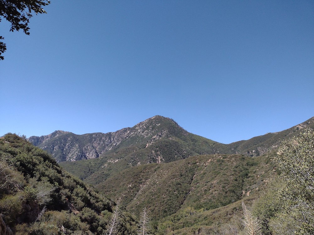
W6/CT-076 – Constance Peak

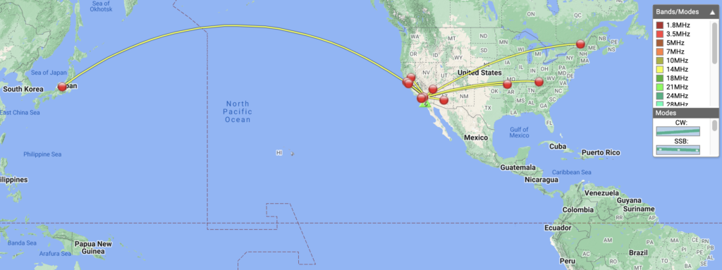
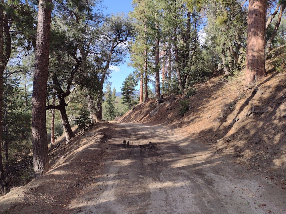
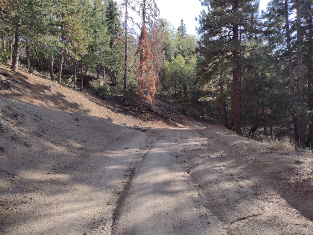
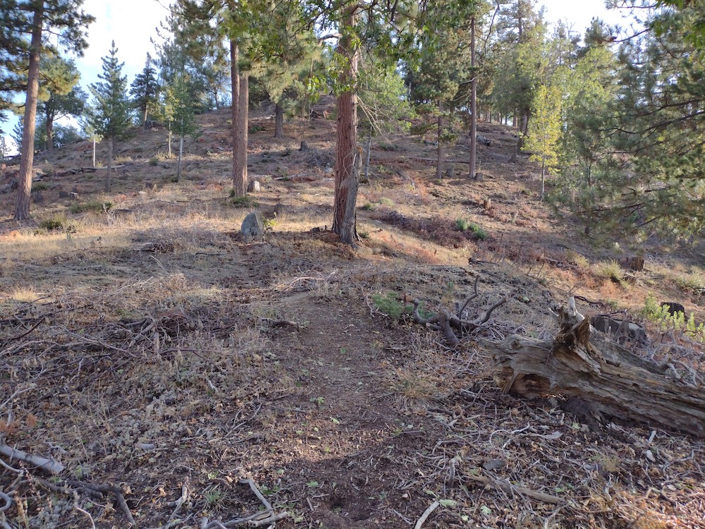
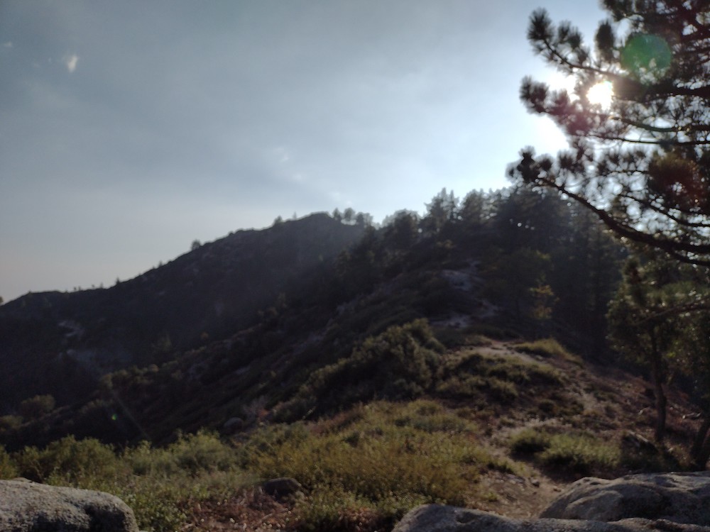
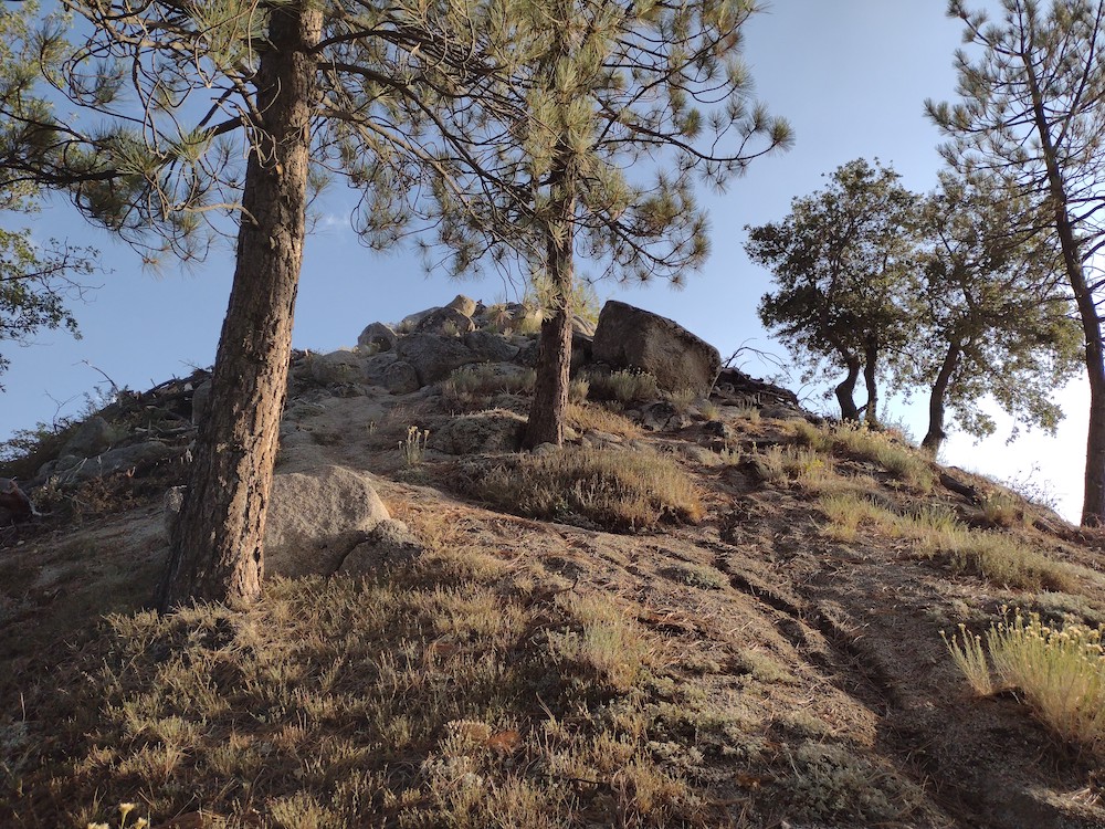
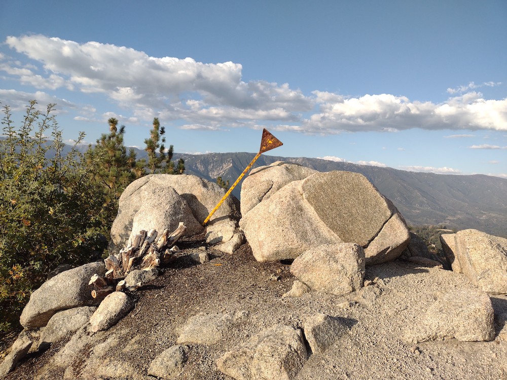
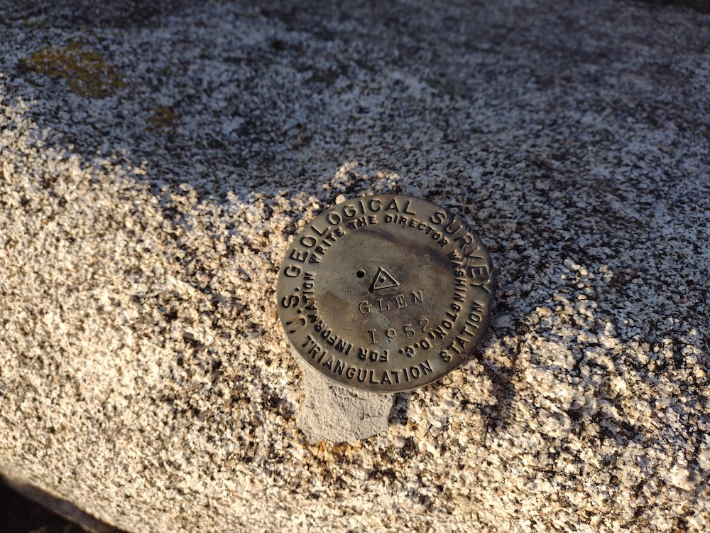
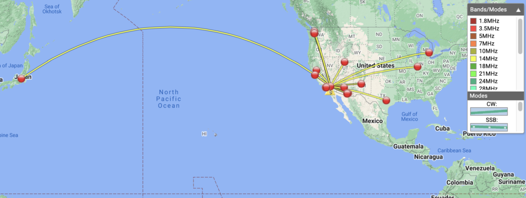
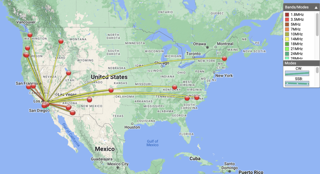
This was my second activation of the day, having hiked W6/CT-041 earlier. I was starving from a light breakfast so I stopped at a small diner in Angelus Oaks for a late lunch burger. From the diner, I took a small dirt road behind the post office as far as I could in my small commuter car, parked and started hiking to the summit. It had just rained, so there was quite a few large water puddles. If it was drier I could have just driven to the use trail that leads to the summit. The trail is pretty obvious, just steep. At the top there was a small rattle snake curled up right where I wanted to setup. The snake was there first so I put the antenna a bit further down the hill, but well within the activation zone. The clock just passed 00:00, and I was loosing daylight so I worked through the bands quickly, with a few S2S and a Japanese DX station. I rushed to tear the station down and hiked down the hill. I git back to the car right before the last light of the day. Perfect timing!

https://sotl.as/summits/W6/CT-076

Total distance: 3.21 mi
Max elevation: 6542 ft
Total climbing: 2110 ft
Total time: 02:03:09
Download file: Constance_Peak_AG6N.gpx

Date:14/10/2022 | Summit:W6/CT-076 (Constance Peak)

TimeCallsignBandModeNotes
00:05NT6E144MHzFMS59 R56
00:08K6QSB14MHzCWS57N R56N
00:10K0LAF14MHzCWS44N R33N
00:11JG0AWE14MHzCWS22N R33N
00:12K6EL14MHzCWS55N R599
00:13VA2EO14MHzCWS22N R22N
00:15W6LOR14MHzCWS52N R33N
00:15WB6POT14MHzCWS599 R599
00:17W7SKH14MHzCWS53N R55N S2S W6/CC-045
00:17W7CBR14MHzCWS58N R599 S2S W6/CC-045
00:18K6STR14MHzCWS52N 33N
00:19KN6OMN14MHzCWS599 R599
00:21W4ZXT14MHzCWS57N R55N
00:23AI6XG14MHzCWS52N R33N? S2S W6/CC-045
00:38KM6CEM144MHzFMS55 R55
00:39KK6JM144MHzFMS57 R59
00:40KI6SLA144MHzFMS59 R55
00:41WA6WV144MHzFMS57N R45
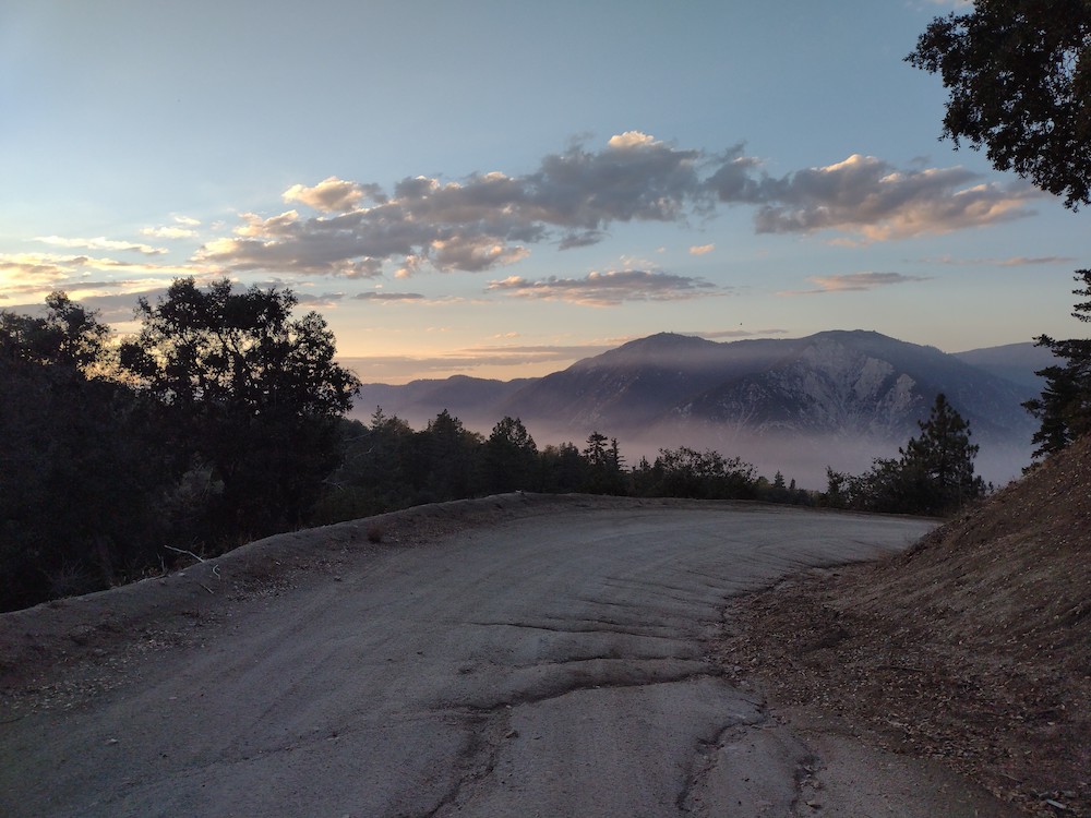
The road wasn’t in bad shape
Hard to see, but there is a rattle snake next to the rock to the right of the summit marker.

W6/CT-041 – 9465

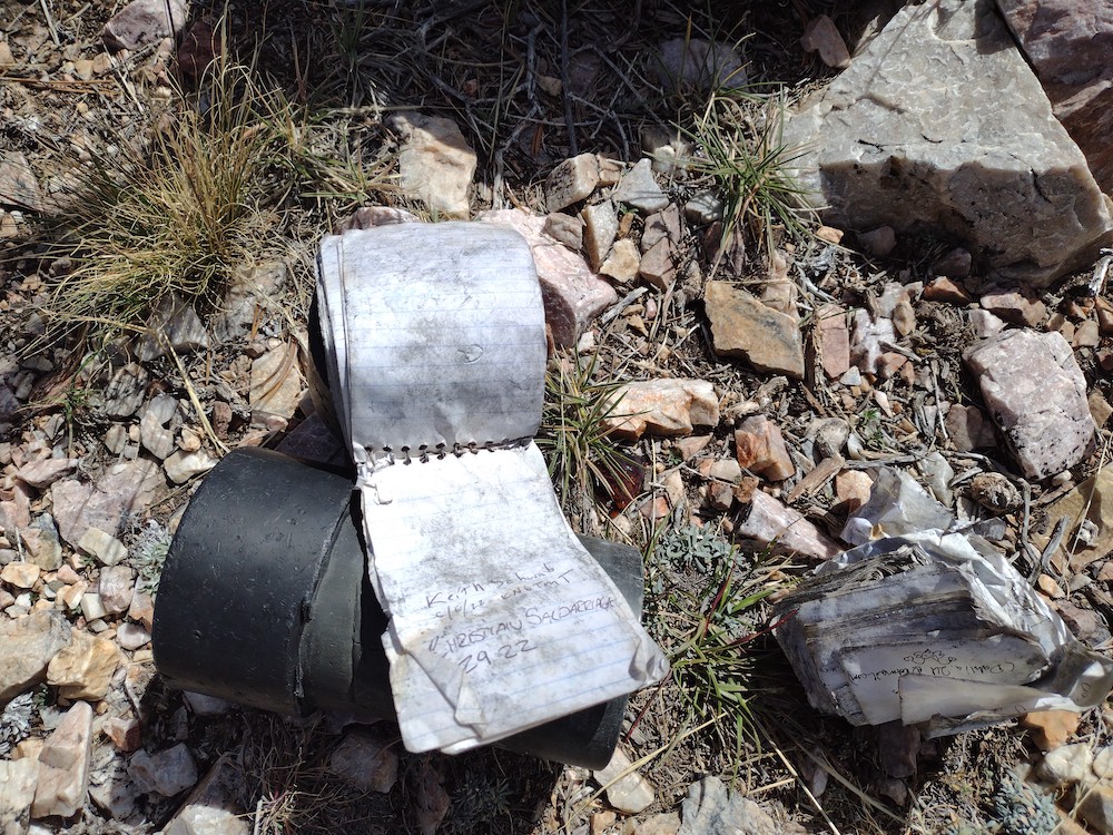
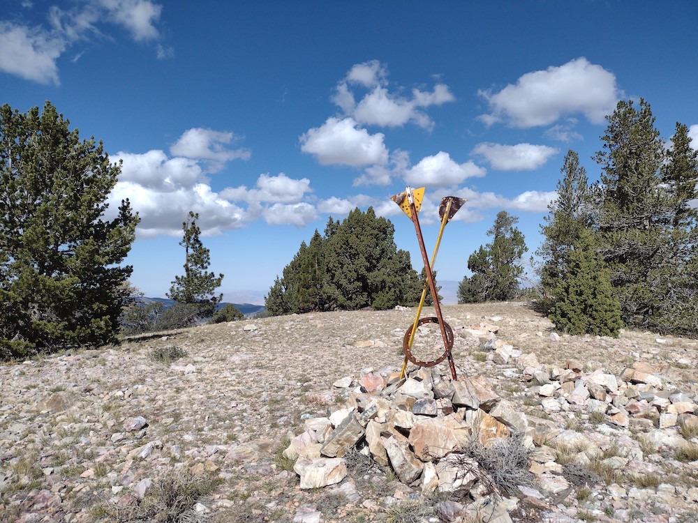
This hike starts off Hwy 38, across the street is a large area to park. I placed my Adventure Pass on the dash of my car, although I don’t think it was needed. After crossing the road and made my way through the woods a bit, I realized I couldn’t find the jeep road others had mentioned. Luckily I had a .gpx track saved on my phone, which I used to get back on track. The first mile of this hike is the steepest, gaining ~500′, 600′ in elevation. From there it relaxes quite a bit until the very end which is steep and covered in loose rocks. The summit is obvious, two large posts and a pile of rocks. There is a register here, but unfortunately it was soaking wet and covered in black mold. Worked 20, 30 and 40M CW, and 2M FM on the HT. I was able to open the 2M repeater out in Yucca Valley but nobody was available to chat. I took my time hiking down, enjoying the view and the beautiful juniper trees. I’ll be back soon!

https://sotl.as/summits/W6/CT-041

Total distance: 6.8 mi
Max elevation: 9386 ft
Total climbing: 4682 ft
Total time: 04:37:33
Download file: 9465_AG6N.gpx

Date:13/10/2022 | Summit:W6/CT-041 (9465)

TimeCallsignBandModeNotes
19:10NT6E144MHzFMS59+ R58
19:11WA6WV144MHzFMS59+ R59
19:14KI6SLA144MHzFMS59 R59
19:16KE6GQD144MHzFMS59 R59
19:18N6JNY144MHzFMS59 R59
19:32KF6HI7MHzCWS58N R54N
19:33WB6POT7MHzCWS5NN R57N
19:38KX6I7MHzCWS54N R55N S2S W6/SC-300
19:39KR7RK7MHzCWS57N R55N
19:51K5DEZ10MHzCWS52N R55N
19:52K6HPX10MHzCWS58N R57N
19:54AF7M10MHzCWS55N R55N
19:55AI7DK10MHzCWS56N R55N
19:56WU7H10MHzCWS42N R33N
20:12W9MRH14MHzCWS51N R52N
20:13K7EA14MHzCWS55N R55N
20:15AK5SD14MHzCWS44N R41N
20:16W6DER14MHzCWS56N R55N
20:18WW7D14MHzCWS42N R53N S2S W7W/KG-015
20:21AC7MA14MHzCWS33N R33N S2S W7W/KG-015
20:24KA7GPP14MHzCWS31N R44N S2S W7W/SK157
20:26KD8DEU14MHzCWS42N R22N
20:30JH1MXV14MHzCWS21N R22N
Start of the trail
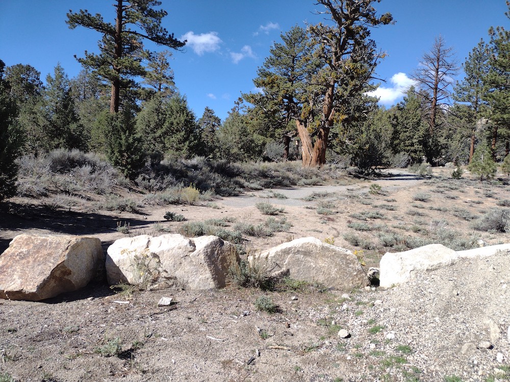
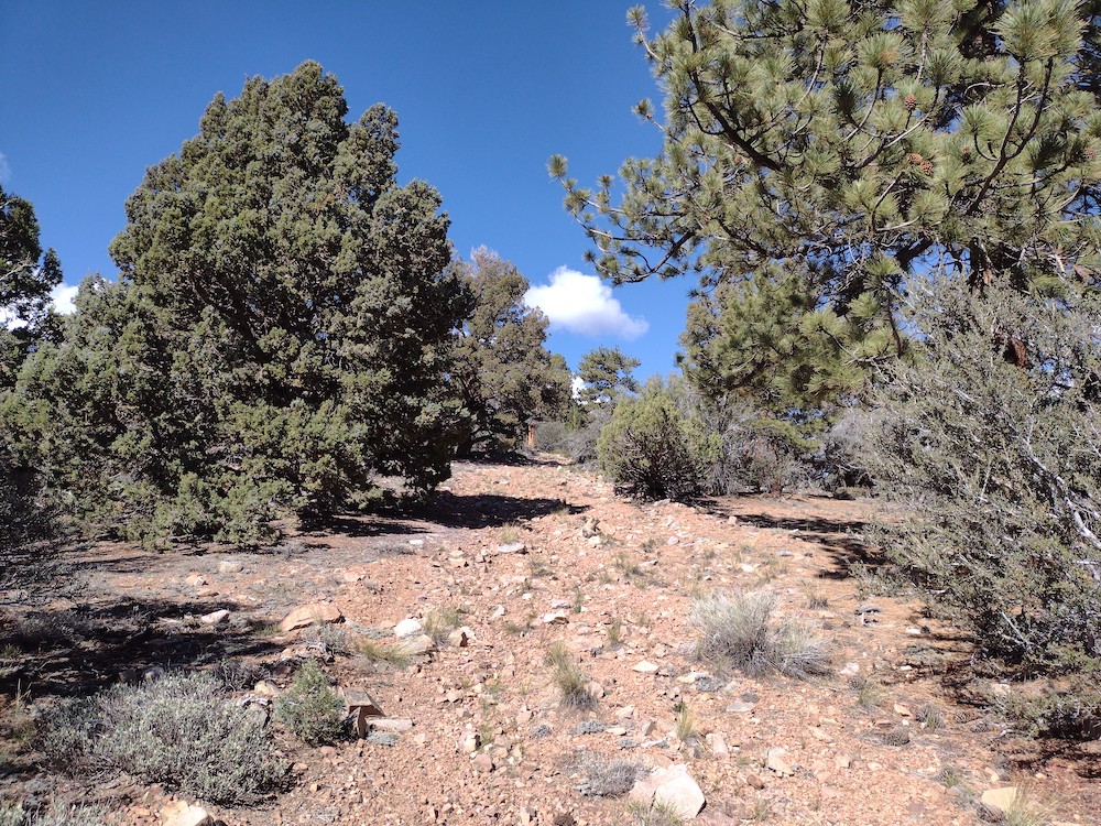
Jeep trail
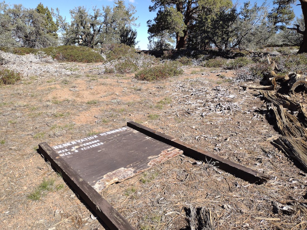
Old camping sign.
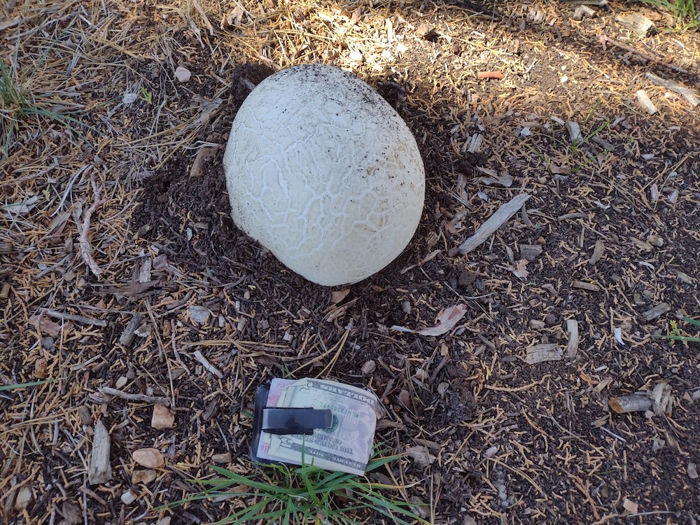
A large mushroom I found
typical views
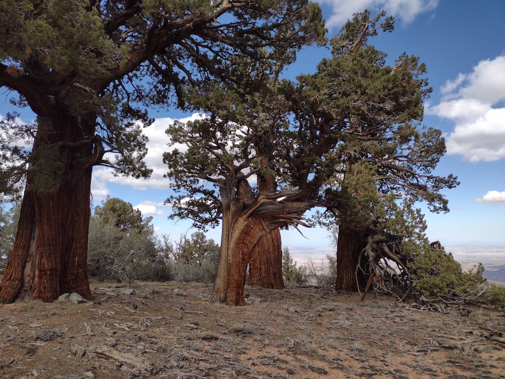
Rad old trees with the desert beyond
Summit log was soaking wet and moldy. KN6TMT signed the log
The summit

W6/CT-120 – Smith Mountain

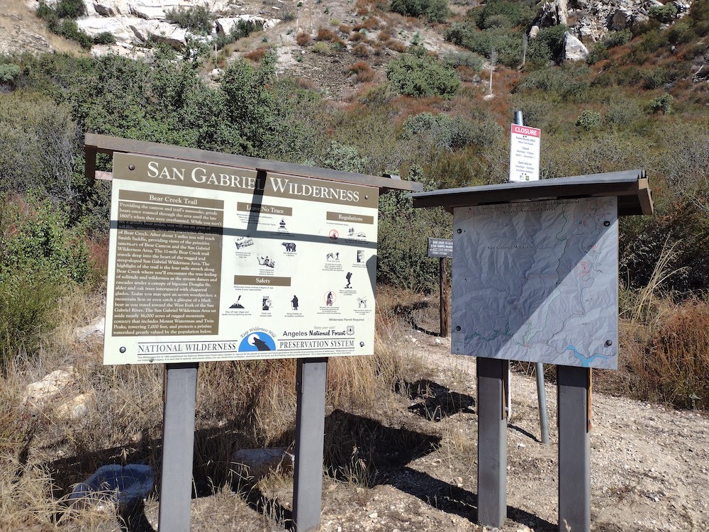
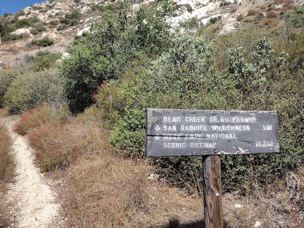
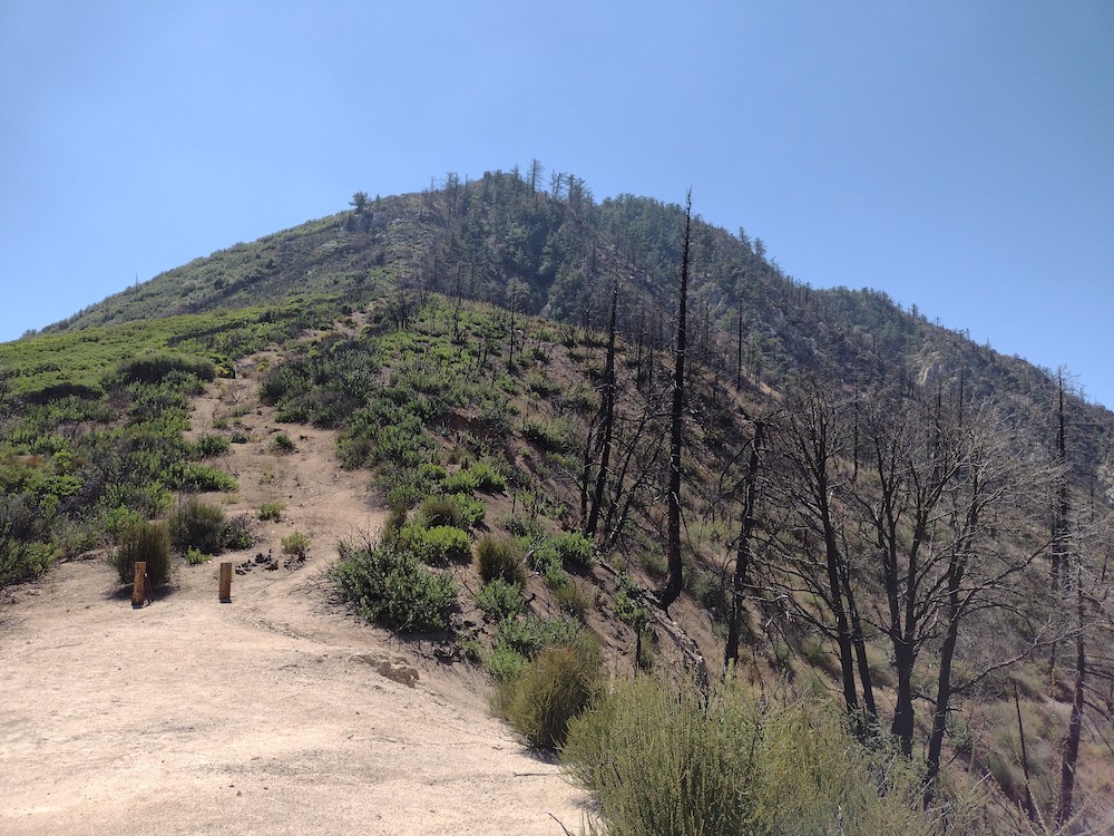
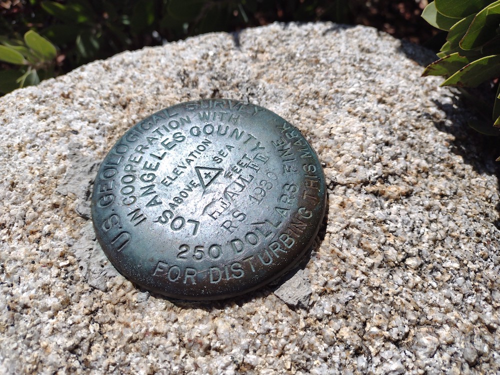
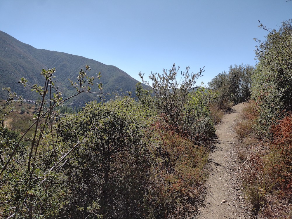
Smith Mountain has been on my list of summits to activate since I started with sota. I made an attempt to hike it the the previous year, but restrictions from the Bobcat fire were in place and the area was closed. The trailhead is easy to find; next to a pit toilet just off Hwy 39 above Azusa. From there the trail winds for three miles through beautiful canyons, gaining about 1,000 feet in elevation along the way. Once you hit the saddle, take a break because things are going to get steep. It took me some time to navigate the thick vegetation, rocks, and steep grade on this one, often finding a use trail but almost immediately loosing it. At the top, there was a benchmark and enough room to stretch out an EFHW antenna. Worked 20, 30, 40M CW and 2M FM with the HT. Coming down the mountain was a bit easier as I could locate the faint use trails a bit easier. Overall, this is a fun hike that’s accessible and close to the city. I’ll be visiting again in the future.

https://sotl.as/summits/W6/CT-120

Total distance: 4.15 mi
Max elevation: 5013 ft
Total climbing: 3009 ft
Total time: 04:20:16
Download file: Smith_Mountain.gpx

Date:16/09/2022 | Summit:W6/CT-120 (Smith Mountain

TimeCallsignBandModeNotes
20:16NT6E144MHzFMS59 R59
20:18KI6SLA144MHzFMS59 R59
20:19WA6WV144MHzFMS59 R59
20:25K6EL7MHzCWS56N R22N
20:26KI7QEK7MHzCWS55N R55N
20:27W7RV7MHzCWS57N R56N
20:28NA6MG7MHzCWS57N R57N
20:31KR7RK7MHzCWS55N R55N S2S W7A/CS-089
20:32N6JZT7MHzCWS32N R55N
20:38K6YK7MHzCWS58N R57N
20:41K6TUY7MHzCWS55N R58N
20:41KI6PMD7MHzCWS58N R599
20:56WB7ULD10MHzCWS53N R56N
20:57K6HPX10MHzCWS58N R56N
20:58K6QCB10MHzCWS599 R57N
20:59KI7VEM10MHzCWS51N R33N
21:02W6TDX10MHzCWS51N R51N
21:06K7CLA10MHzCWS52N R599
21:09N0RZ10MHzCWS33N R51N
21:22N5OO14MHzCWS33N R33N
21:24W0VQ14MHzCWS52N R44N
21:25NM5TW14MHzCWS45N R57N
21:27AC1Z/014MHzCWS51N R55N
21:28NM5SW14MHzCWS51N R599
21:29W4ZXT14MHzCWS53N R44N
21:32KR7Q14MHzCWS57N R55N
21:33W5GDW14MHzCWS33N R33N
21:35AB4PP14MHzCWS32N R22N
21:36WW7D14MHzCWS56N R52N
21:39N7CNH14MHzCWS52N R53N
At the trailhead
Also, right by the trailhead
At the saddle looking up. This is pretty steep.
Benchmark
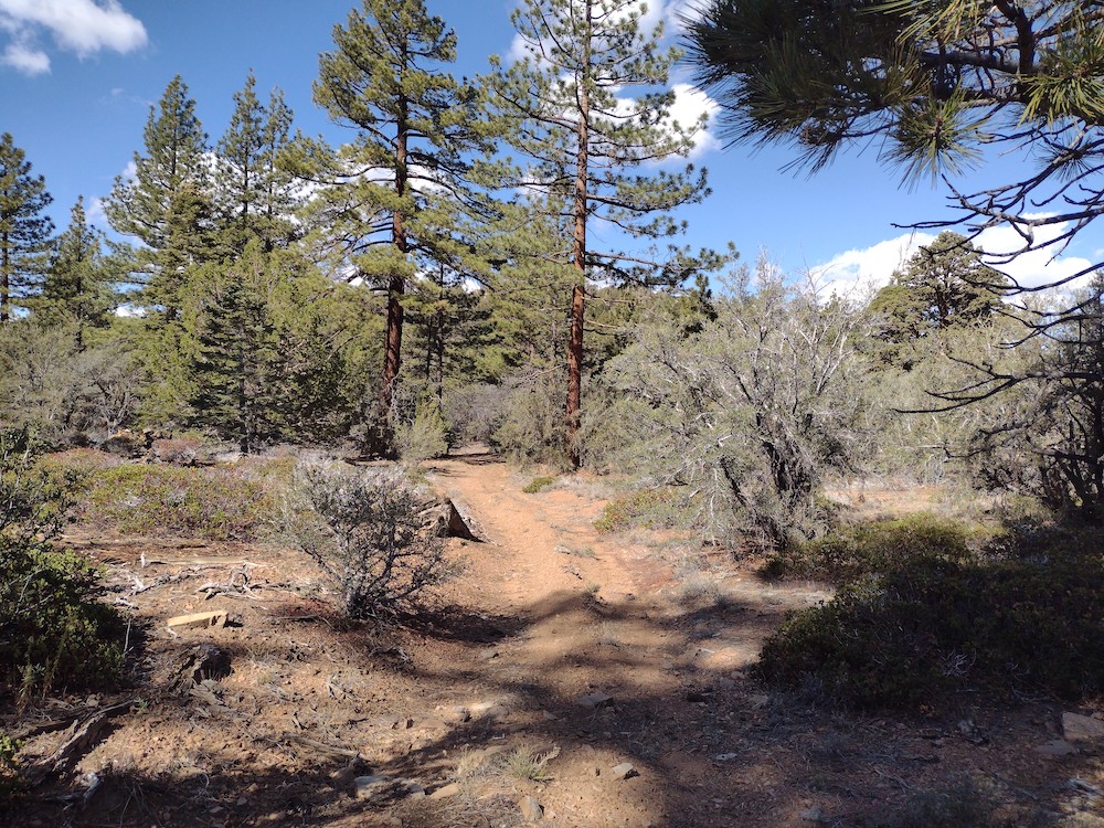
Typical trail
Looking back at Smith Mountain