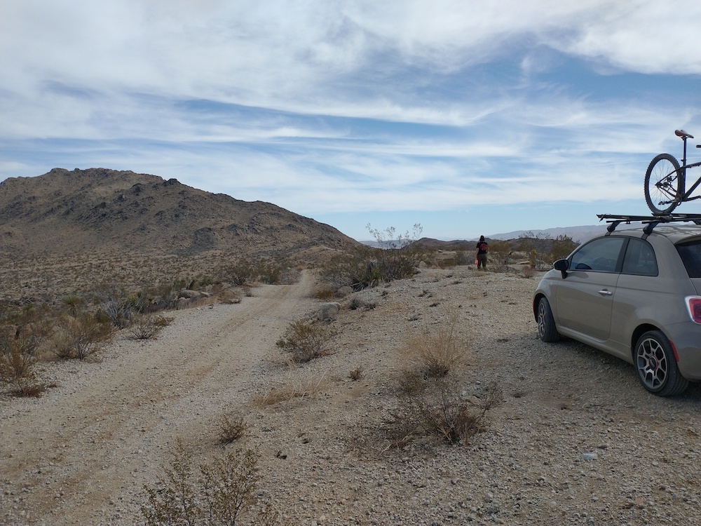
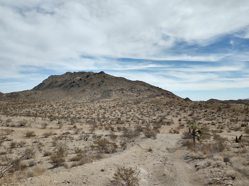
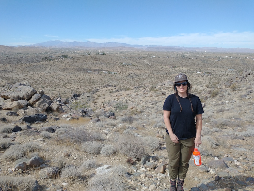
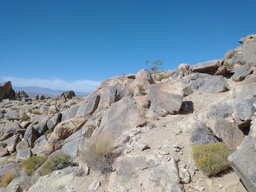
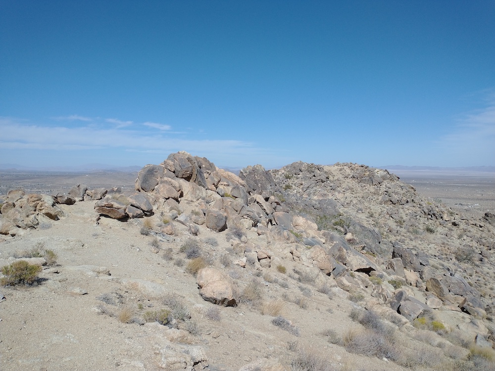
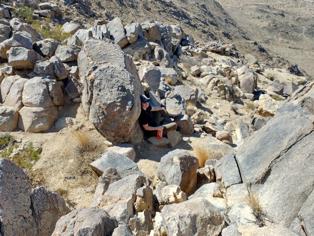
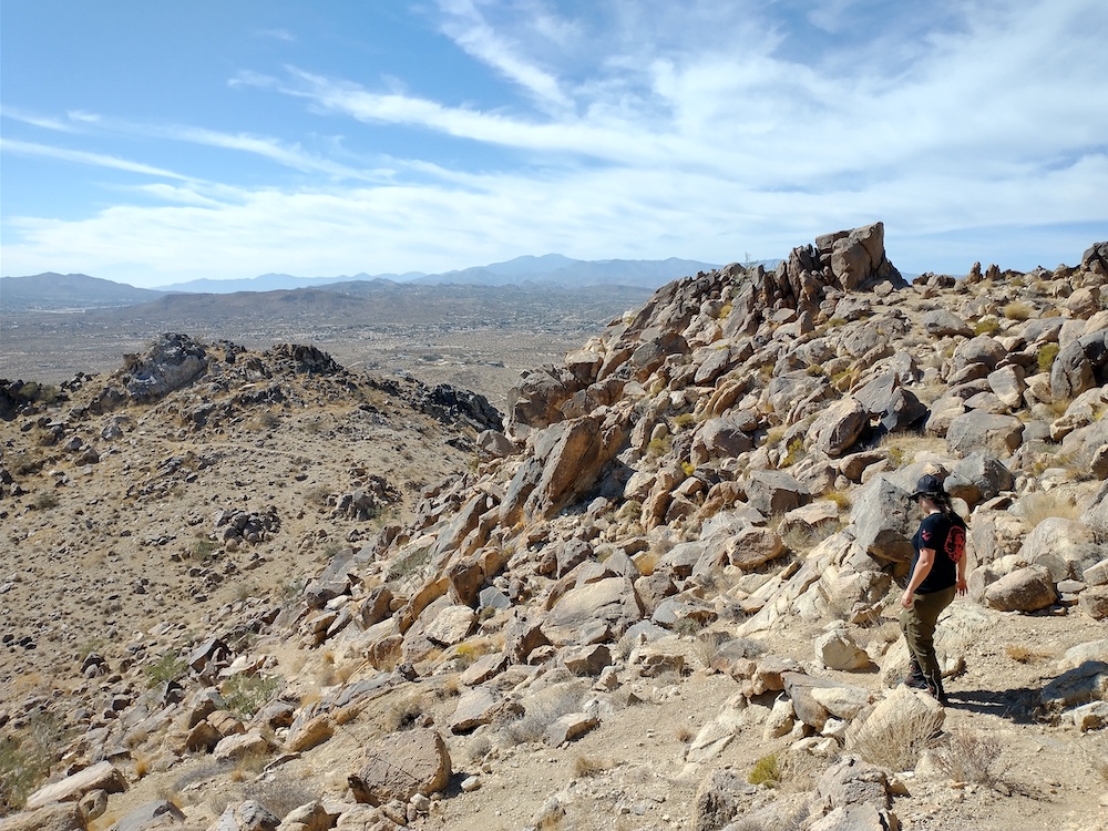
This is a rad hike in Yucca Valley. I tried to summit this one earlier in the year when summer bonus points were on the table, but I couldn’t find the trailhead. Returning a few months later after a bit more research, it turned out I was just one hill away from the trailhead the first time. With that sorted, my wife and I started to head up. The trail is pretty obvious, but it’s easy to loose track of it in some areas. Once at the top I setup my vertical and called out on 30M, then 40M, then 20M, self spotting on each band. Made on S2S to Timber Mountain, W6/CT-052, which makes that a complete for me. I look forward to hiking this one again.
https://sotl.as/summits/W6/SD-166
Total distance: 2.45 mi
Total climbing: 818 ft
Download file: Bartlett.GPX
Total climbing: 818 ft
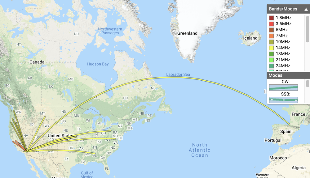
Date:22/10/2021 | Summit:W6/SD-166 (Bartlett Mountains (HP))
| Time | Callsign | Band | Mode | Notes |
|---|---|---|---|---|
| 19:32 | NW7E | 10MHz | CW | S449 R53N |
| 19:33 | NS7P | 10MHz | CW | S55N R33N |
| 19:35 | N7OOS | 10MHz | CW | S559 R559 |
| 19:37 | WW7D | 10MHz | CW | S55N R37N |
| 19:47 | AJ6KZ | 10MHz | CW | S229 R419 S2S W6/CT-052 |
| 19:57 | K6EL | 7MHz | CW | S549 R559 |
| 19:58 | W6DE | 7MHz | CW | S55N R55N |
| 20:01 | K6YK | 7MHz | CW | S559 R559 |
| 20:06 | F4WBN | 14MHz | CW | S559 R599 |
| 20:07 | W0MNA | 14MHz | CW | S559 R599 |
| 20:08 | K3TCU | 14MHz | CW | S559 R559 |
| 20:10 | WN4AT | 14MHz | CW | S549 R55N |
| 20:11 | W0ERI | 14MHz | CW | S549 R55N |
| 20:12 | W4KRN | 14MHz | CW | S559 R33N |
| 20:17 | WB7BWZ | 14MHz | CW | S55N R52N |
