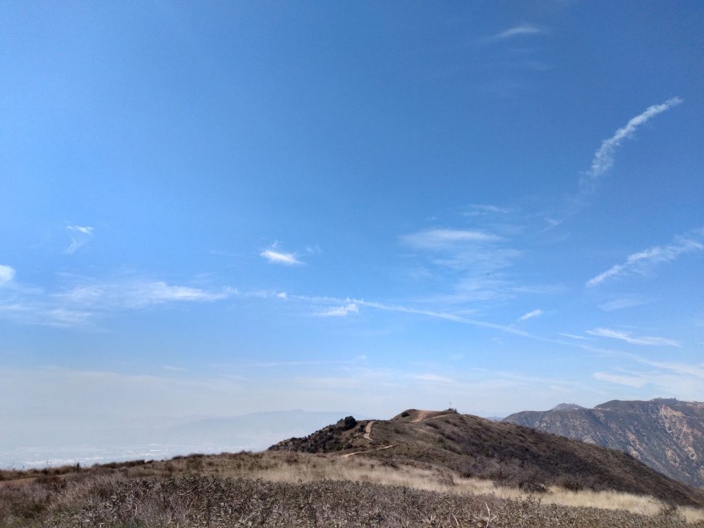
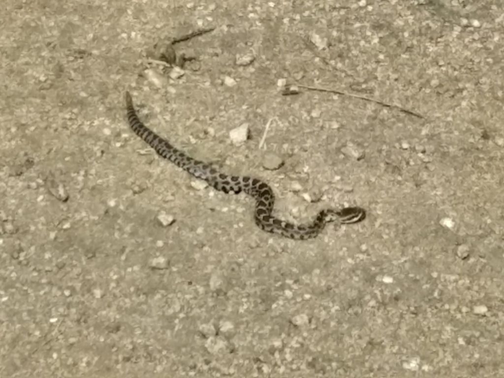
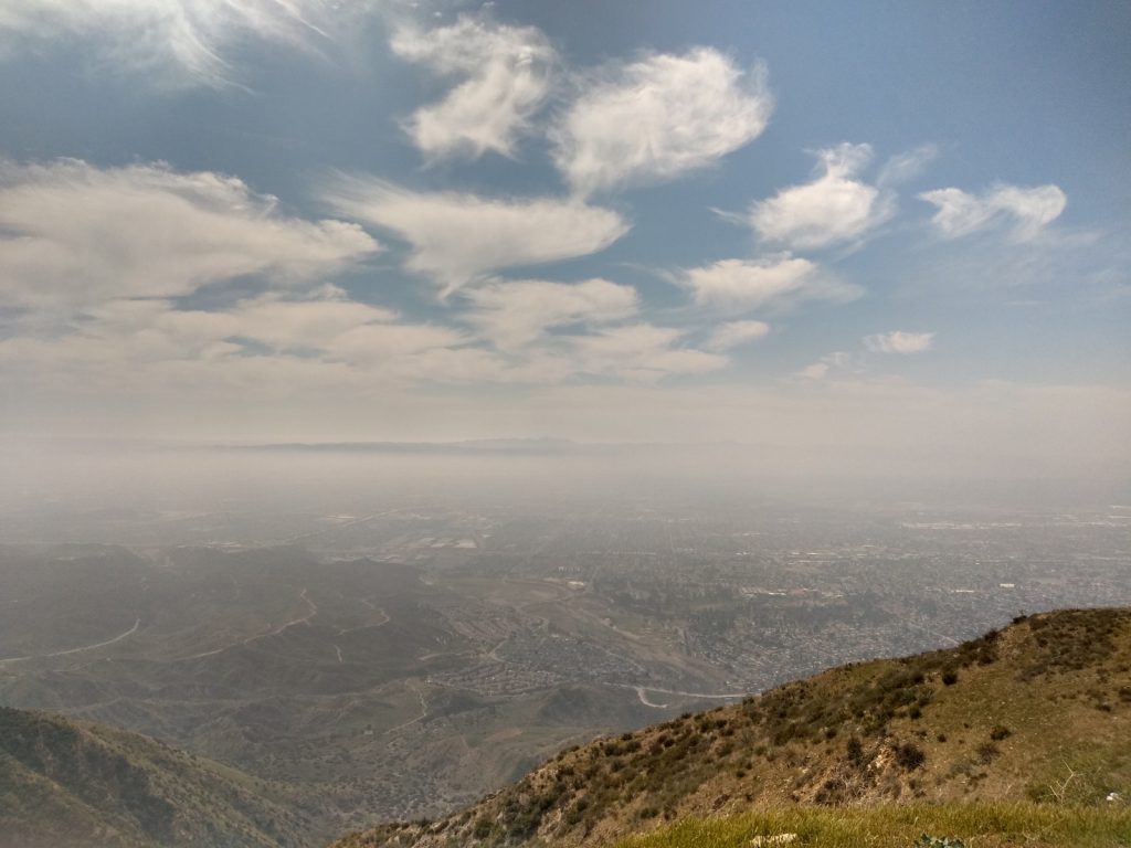
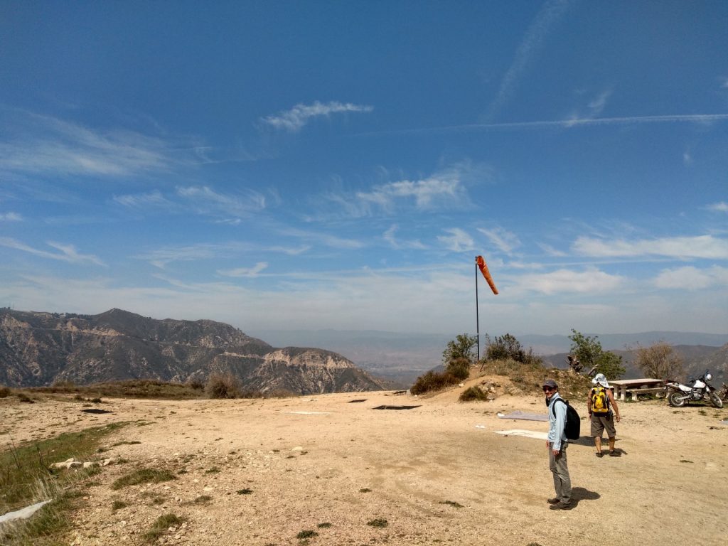
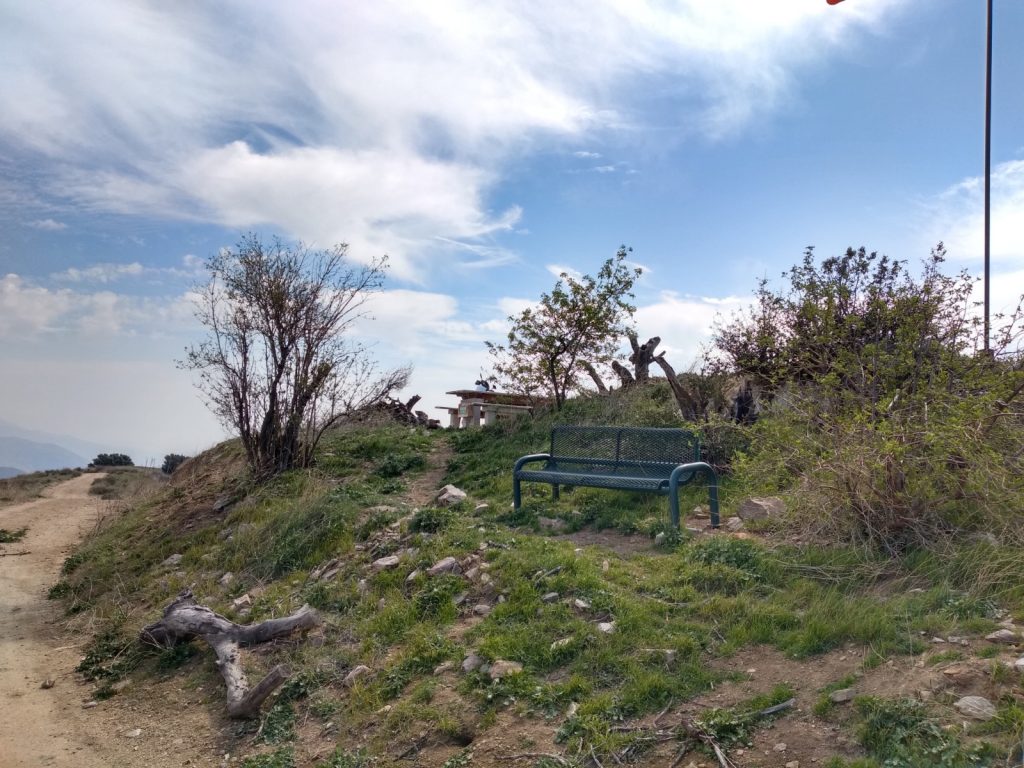
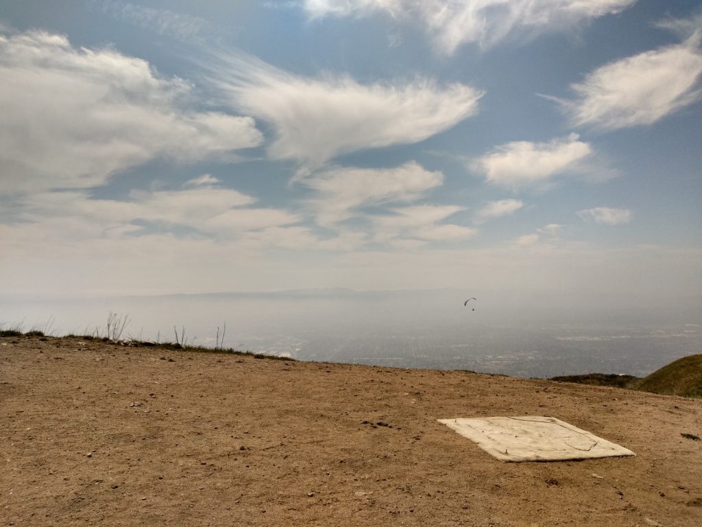
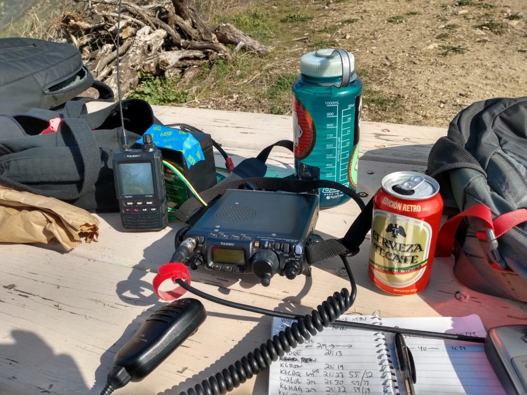
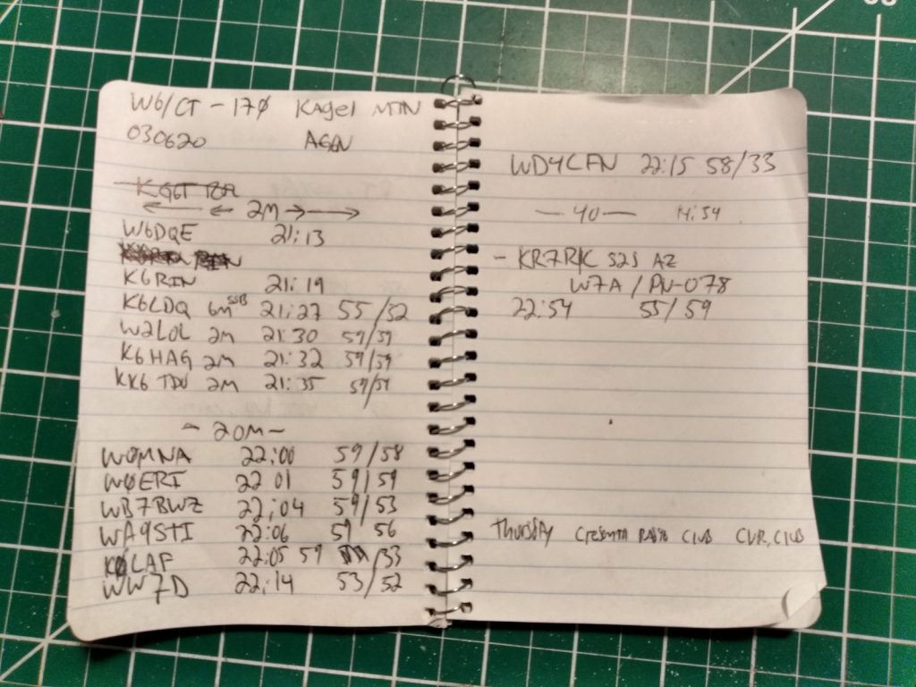
This was a pretty easy hike, I wouldn’t do it in the middle of summer as there is little shade on the fire road going up. The top is used as a hang glider port; there is a picnic table and a bench to setup radios on which is nice. Summit to summit QSO with KR7RK in Arizona on 40M.
https://sotl.as/summits/W6/CT-170
Total distance: 6.03 mi
Total climbing: 1676 ft
Download file: W6-ct-170.GPX
Total climbing: 1676 ft
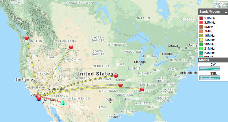
Date:06/03/2020 | Summit:W6/CT-170 (Kagel Mountain)
| Time | Callsign | Band | Mode | Notes |
|---|---|---|---|---|
| 21:13 | W6DQE | 144MHz | FM | |
| 21:19 | K6RIN | 144MHz | FM | |
| 21:27 | K6LDQ | 50MHz | SSB | |
| 21:30 | W2L0L | 144MHz | FM | |
| 21:32 | K6HAG | 144MHz | FM | |
| 21:35 | KK6TDU | 144MHz | FM | |
| 22:00 | W0MNA | 14MHz | SSB | |
| 22:01 | W0ERI | 14MHz | SSB | |
| 22:04 | WB7BWZ | 14MHz | SSB | |
| 22:05 | K0LAF | 14MHz | SSB | |
| 22:06 | WA9STI | 14MHz | SSB | |
| 22:14 | WW7D | 14MHz | SSB | |
| 22:15 | WD4CFN | 14MHz | SSB |
