(updated post with photos)
Total distance: 221.93 mi
Total climbing: 14490 ft
Download file: 20150531.gpx
Total climbing: 14490 ft
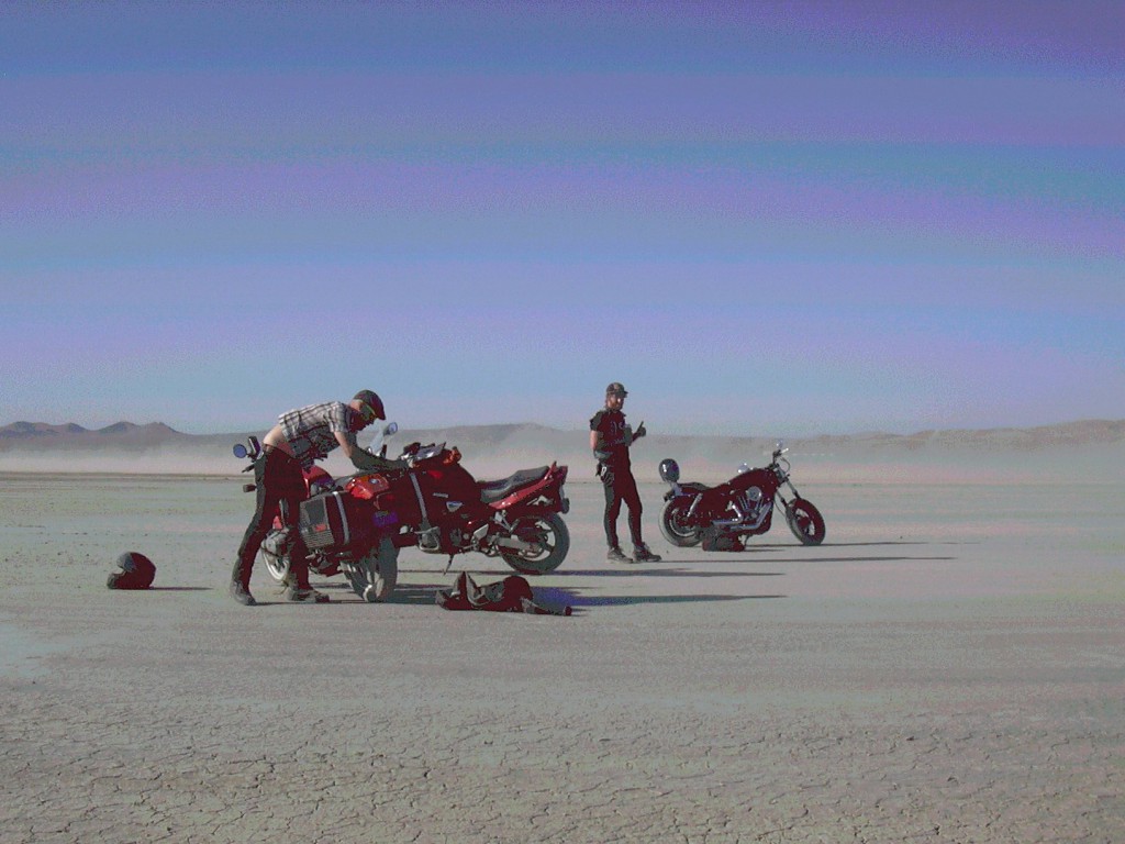
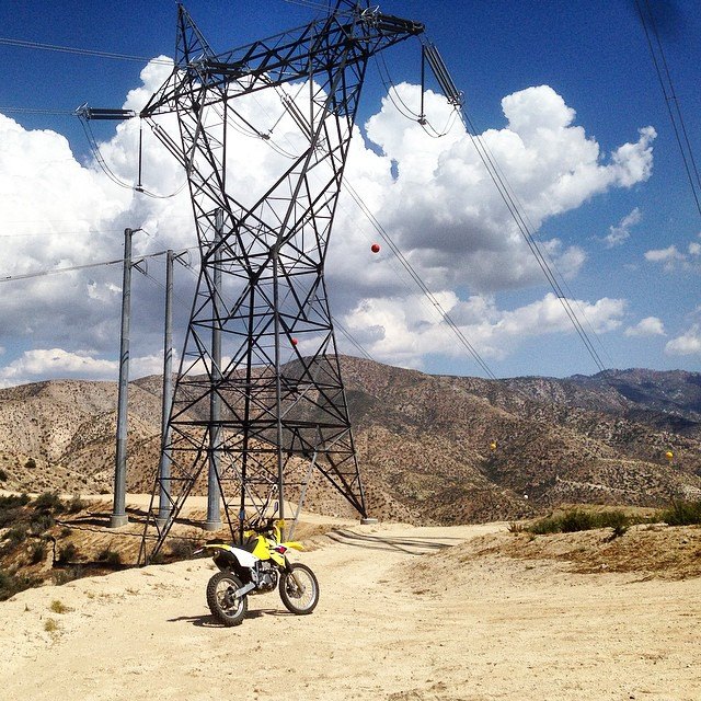
Out on the other side of the 2, where the forest turns into the desert.BAAAAPPPP!!!!
Total distance: 150.61 mi
Total climbing: 18205 ft
Download file: 20150606.gpx
Total climbing: 18205 ft


