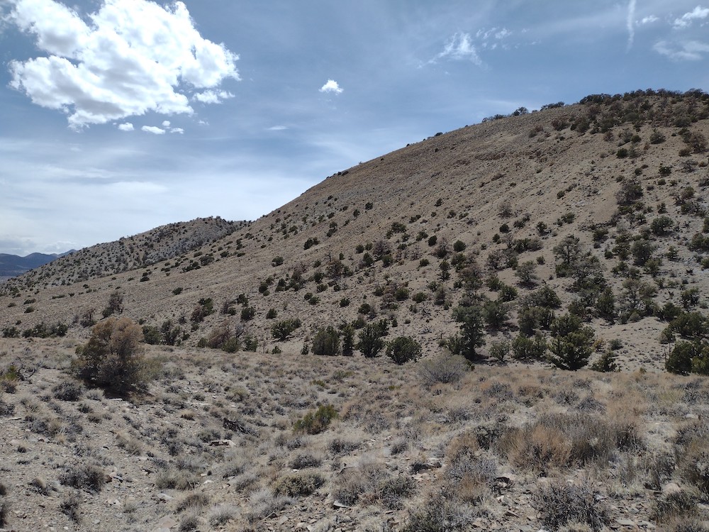
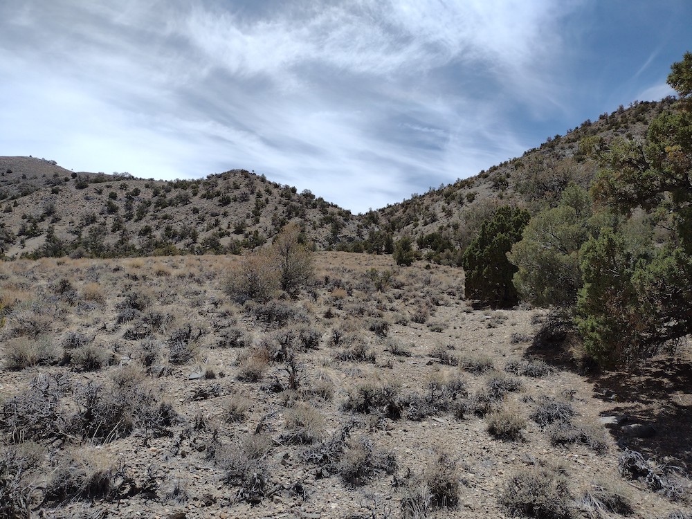
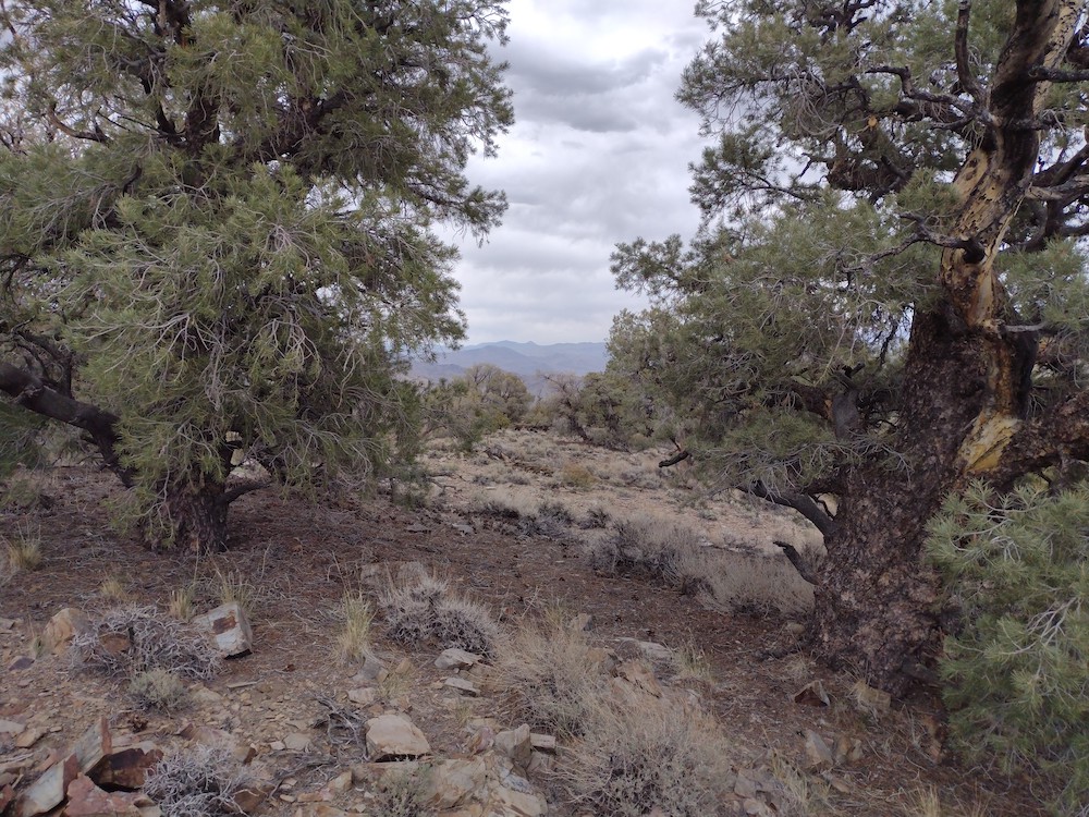
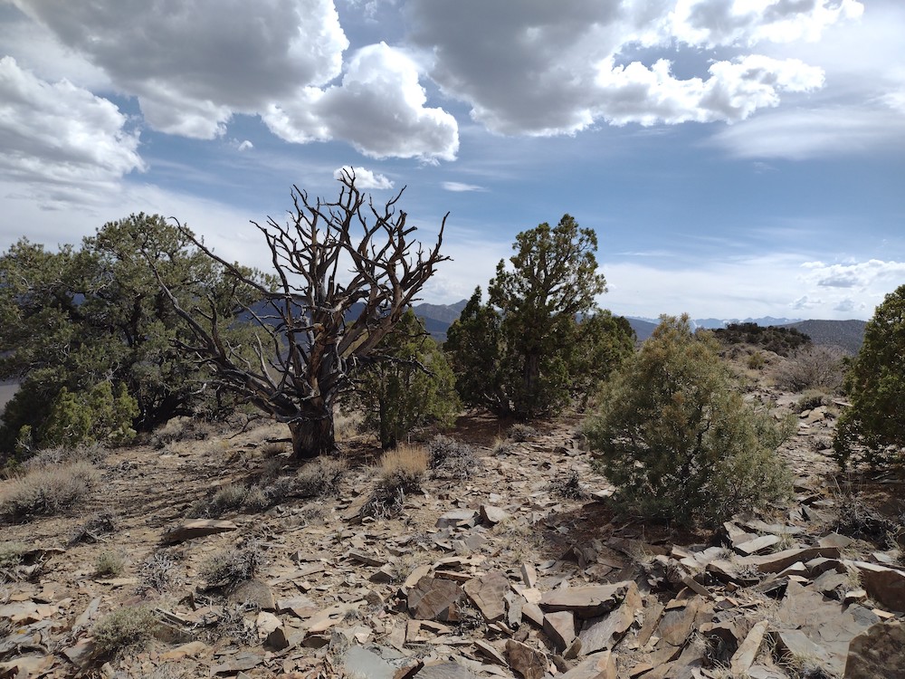
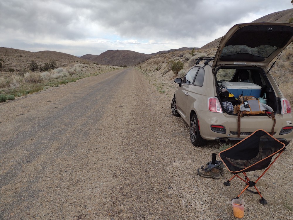
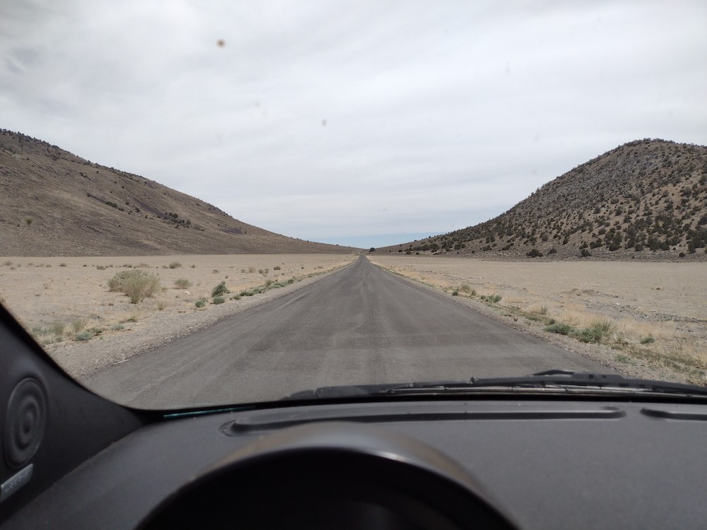
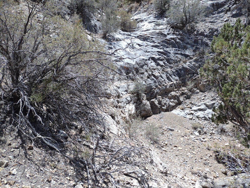
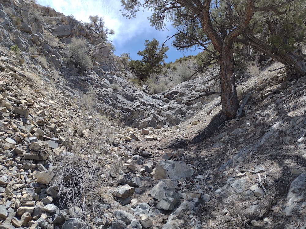
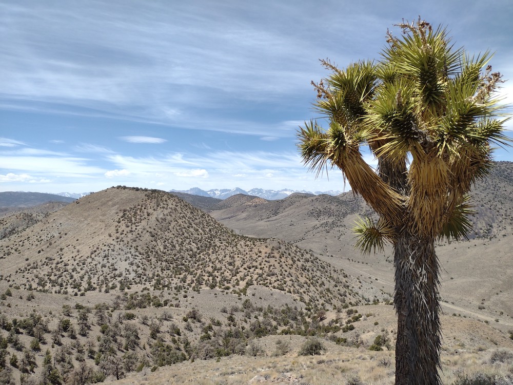
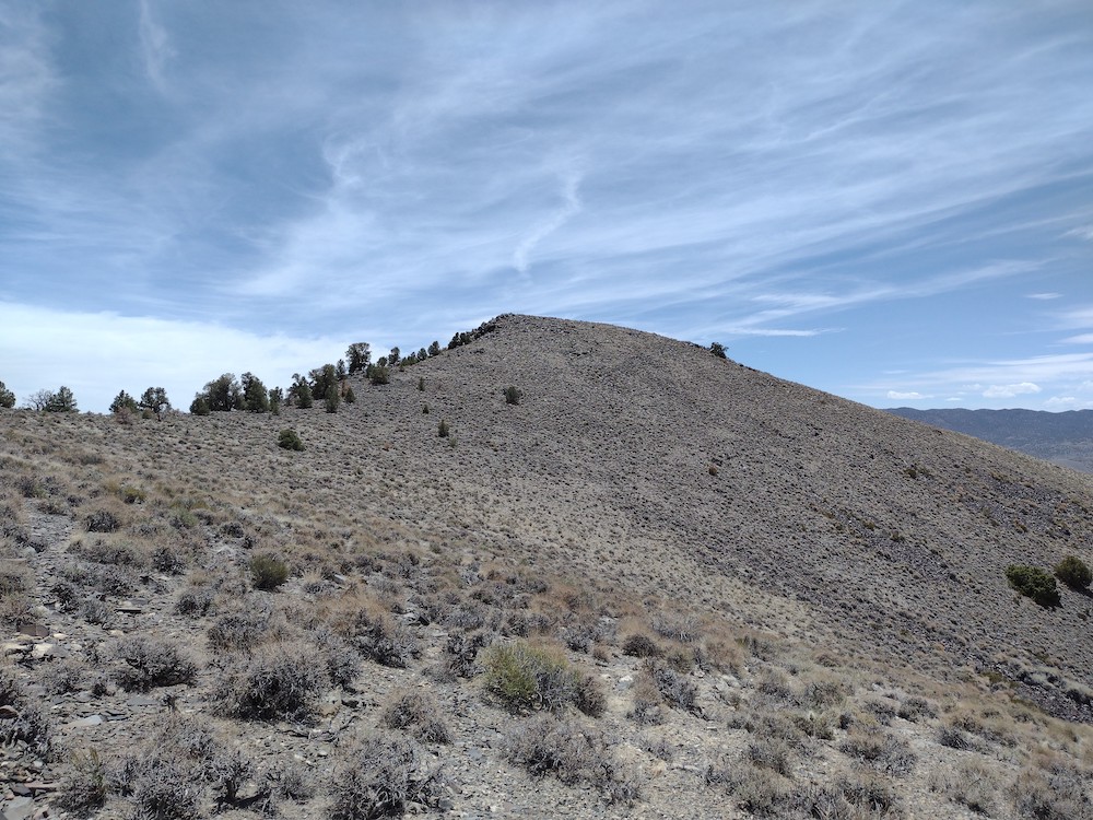
I wanted to hike some new terrain, so I mapped out a route through the Cow horns, east of Big Pine. Leaving Los Angeles around 6am got me to Big Pine before noon, where I bought some drinks and ice for the cooler before heading over to Death Valley Road. There is no actual trail that I could find. I started hiking up a wash, which had various levels and looked as if it would be a waterfall in times of rain. This was too sketchy for me, so I tried to get as much elevation as possible instead by climbing out of the steep wash through loose soil. It was starting to get hot, but I brought a giant golf umbrella to offer shade, which offered relief. After hiking for about 45 minutes I found the ridge line and headed straight to the summit. Once there I looked for a register, or a geo marker, but didn’t find anything. Worked 20,30, 40M CW. Wanting to activate the neighboring summit, I packed the station up and headed over……
https://sotl.as/summits/W6/IN-017
Max elevation: 7897 ft
Total climbing: 1956 ft
Total time: 06:05:59
Date:02/06/2022 | Summit:W6/IN-017 (7900)
| Time | Callsign | Band | Mode | Notes |
|---|---|---|---|---|
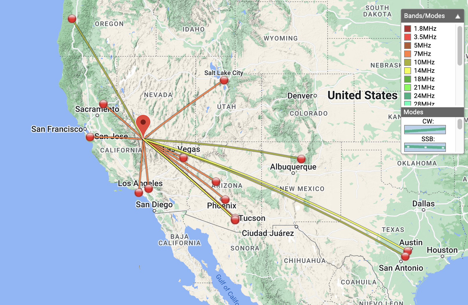
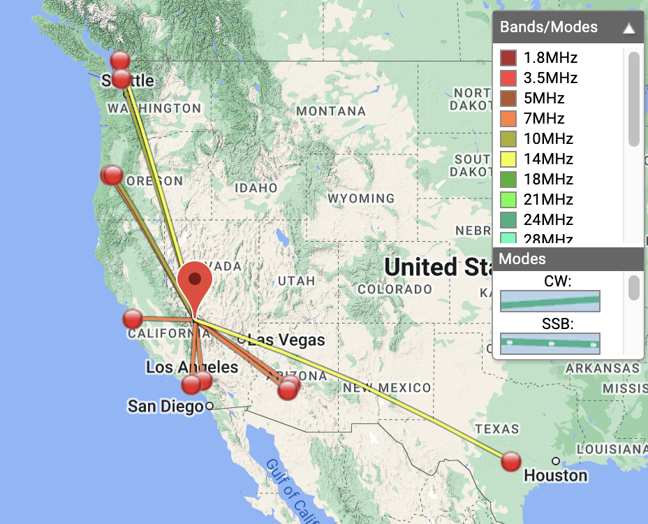
| 20:22 | K6HPX | 7MHz | CW | S55N R53N |
| 20:25 | W7SKH | 7MHz | CW | S53N R55N |
| 20:26 | WB6POT | 7MHz | CW | S57N R57N |
| 20:27 | W7CBR | 7MHz | CW | S55N R55N |
| 20:28 | N7CW | 7MHz | CW | S52N R53N |
| 20:29 | K7EA | 7MHz | CW | S55N R55N |
| 20:29 | W6JP | 7MHz | CW | S52N R51N |
| 20:30 | NT6E | 7MHz | CW | S57N R53N |
| 20:33 | K6QCB | 7MHz | CW | S55N R42N |
| 20:43 | K7SO | 10MHz | CW | S52N R55N |
| 20:44 | NS7P | 10MHz | CW | S57N R55N |
| 20:45 | AF7M | 10MHz | CW | S52N R55N |
| 20:48 | AC7P | 10MHz | CW | S42N R33N |
| 20:57 | AK5SD | 14MHz | CW | S52N R42N |
| 20:58 | K9WO | 14MHz | CW | S51N R44N |
| 21:00 | W4JM | 14MHz | CW | S33N R33N |
| 21:02 | AF7M | 14MHz | CW | S55N R55N |
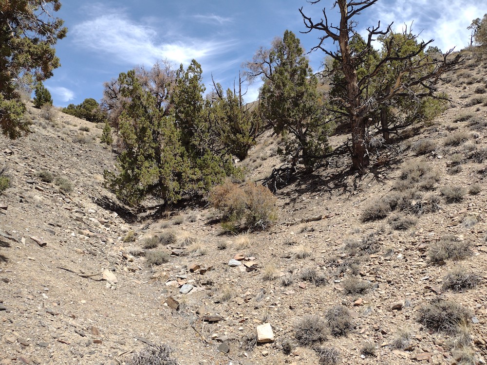
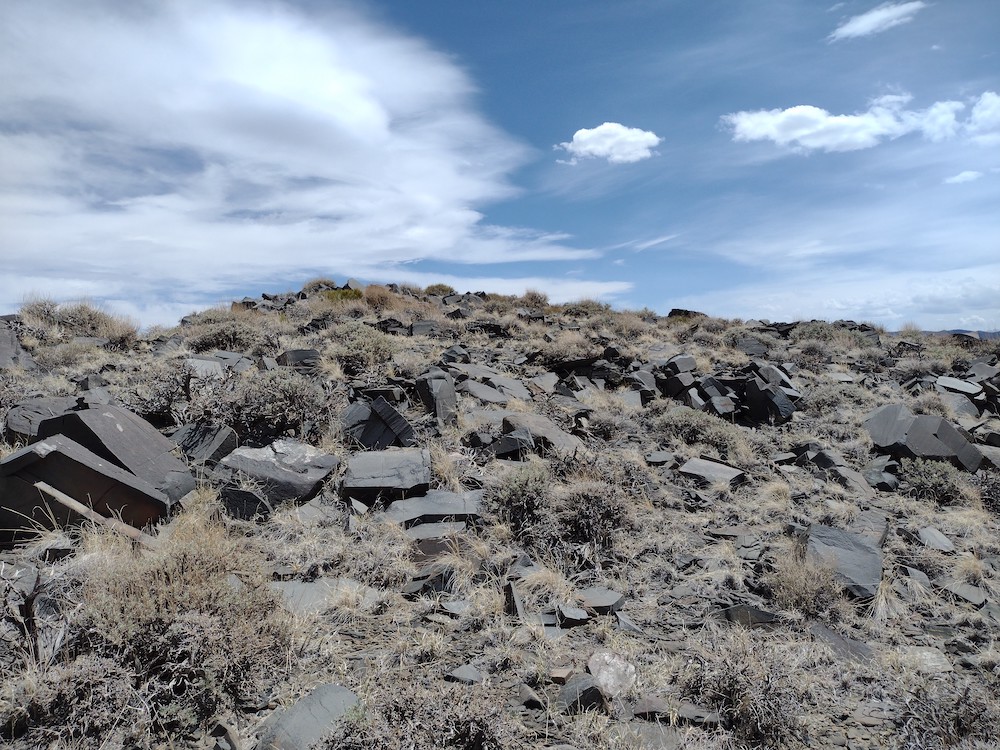
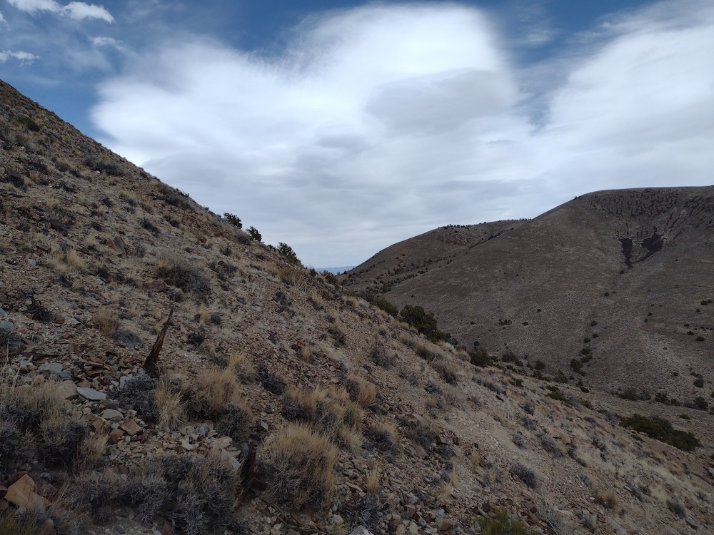
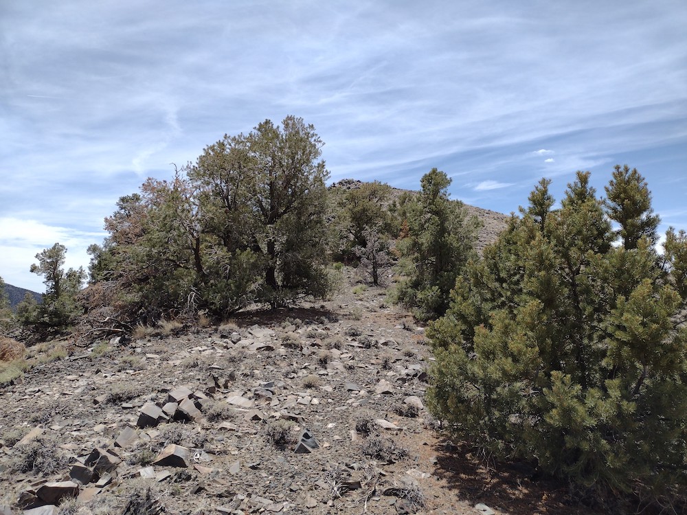
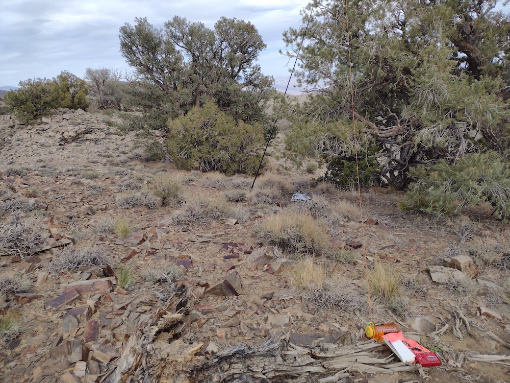
The route I took over to W6/IN-036 was steep, and at one point I was questioning myself why I do things like this. It was hot, the ground under me was loose and I was consistently slipping. There are several nice shady trees on the ridge which offered additional shade. These trees felt a bit out of place as the whole journey thus far had seemed to be a bit treeless. Once at the summit, I looked around for any markers, or even a register but found nothing. Feeling fatigued, I setup my station and spotted myself on APRS. At 00:00 I shut the station down and headed back to the car. Going down was also steep and I only slipped once. I’d like to come back to these summits on a cooler day, and maybe place a register, and hopefully find a less steep route.
https://sotl.as/summits/W6/IN-036
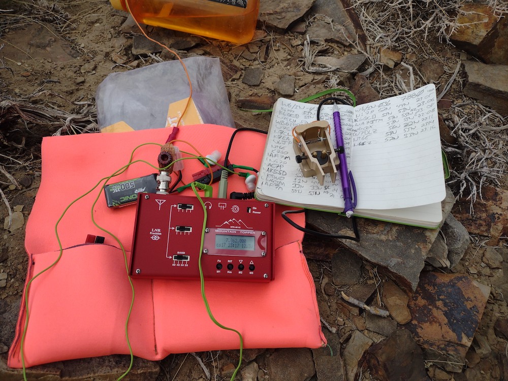
Date:02/06/2022 | Summit:W6/IN-036 (7900)
| TIME | CALLSIGN | BAND | MODE | NOTES |
|---|---|---|---|---|
| 23:05 | NS7P | 7MHz | CW | S52N R44N |
| 23:06 | K6QCB | 7MHz | CW | S55N R53N |
| 23:08 | WA7JTM | 7MHz | CW | S57N R55N |
| 23:08 | W6QX | 7MHz | CW | S58N R55N |
| 23:11 | W7DLZ | 7MHz | CW | S56N R22N |
| 23:14 | NT6E | 7MHz | CW | S58N R55N |
| 23:16 | N6IZ | 7MHz | CW | S52N R33N |
| 23:27 | N7CNH | 10MHz | CW | S51N R53N |
| 23:30 | N7WI | 10MHz | CW | S57N R55N |
| 23:45 | VE7HI | 14MHz | CW | S42N R33N |
| 23:47 | AC7P | 14MHz | CW | S42N R33N |
| 23:49 | W9APS | 14MHz | CW | S33N R599 |