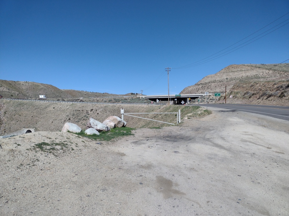
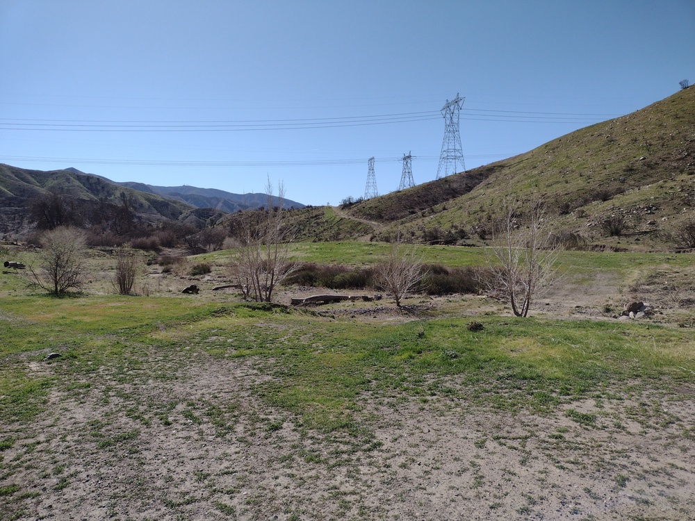
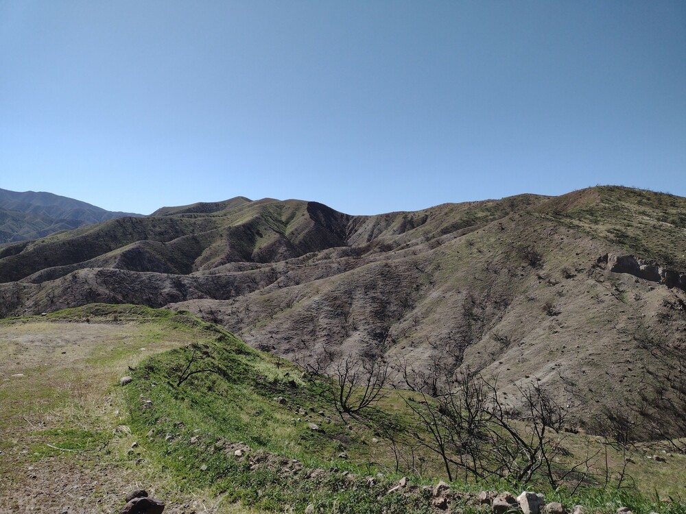
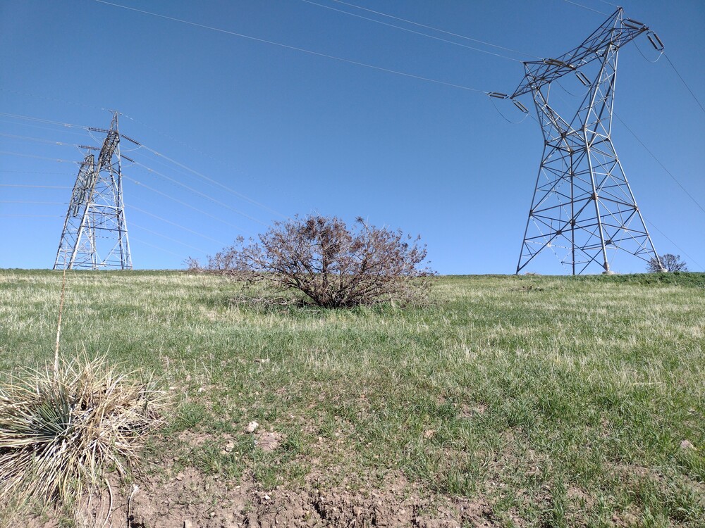
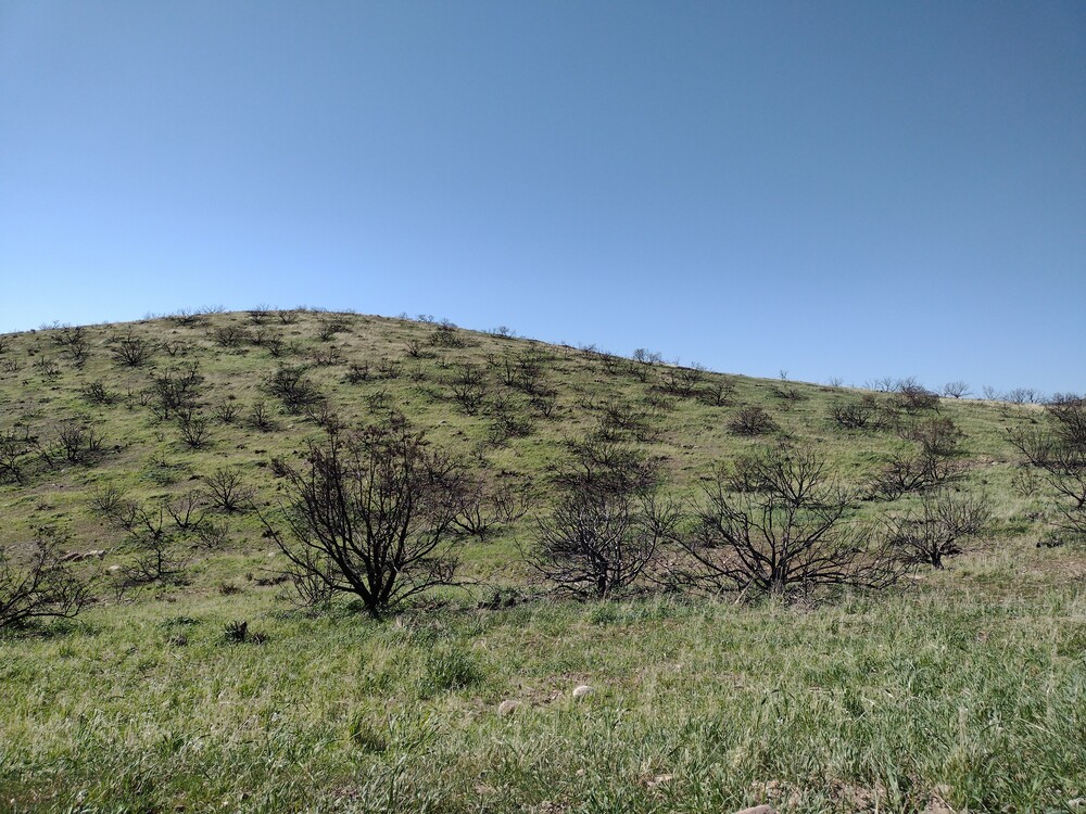
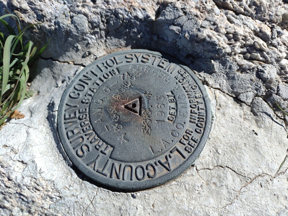
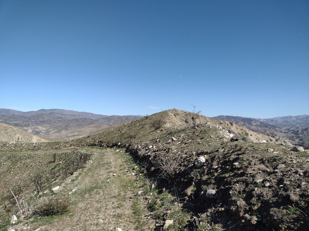
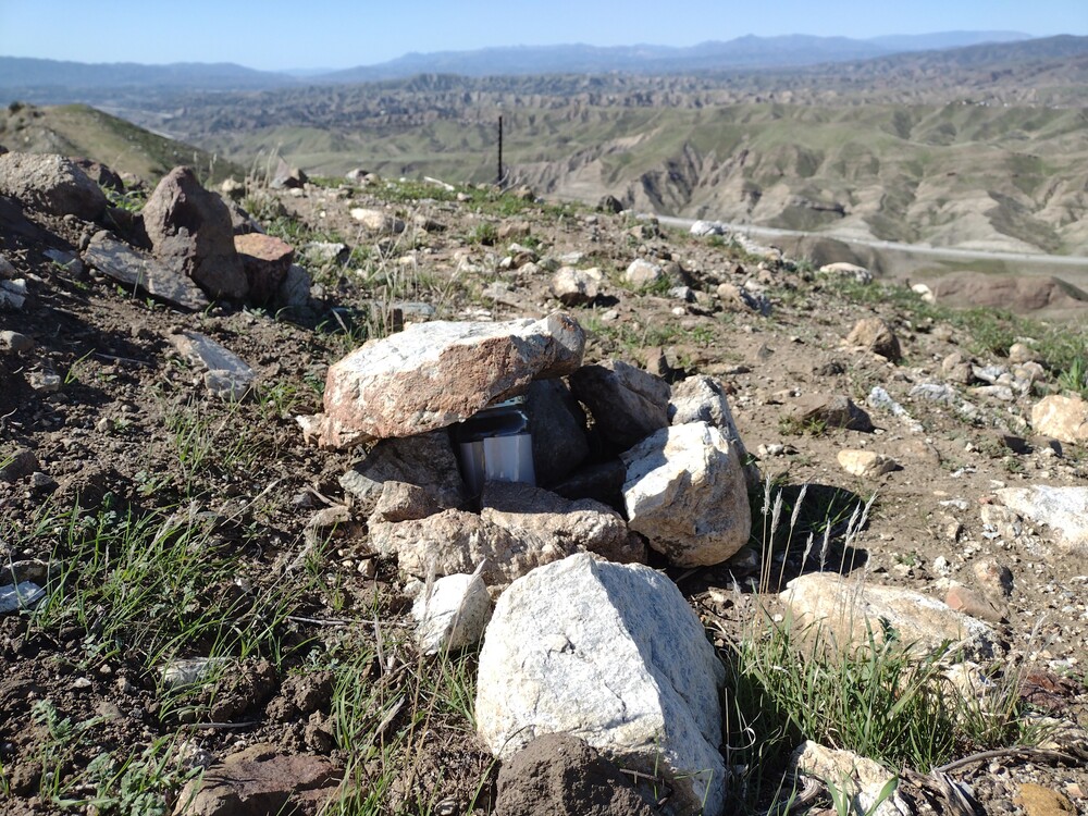
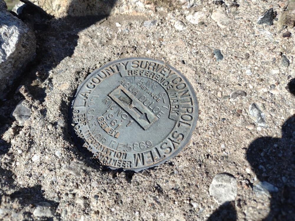
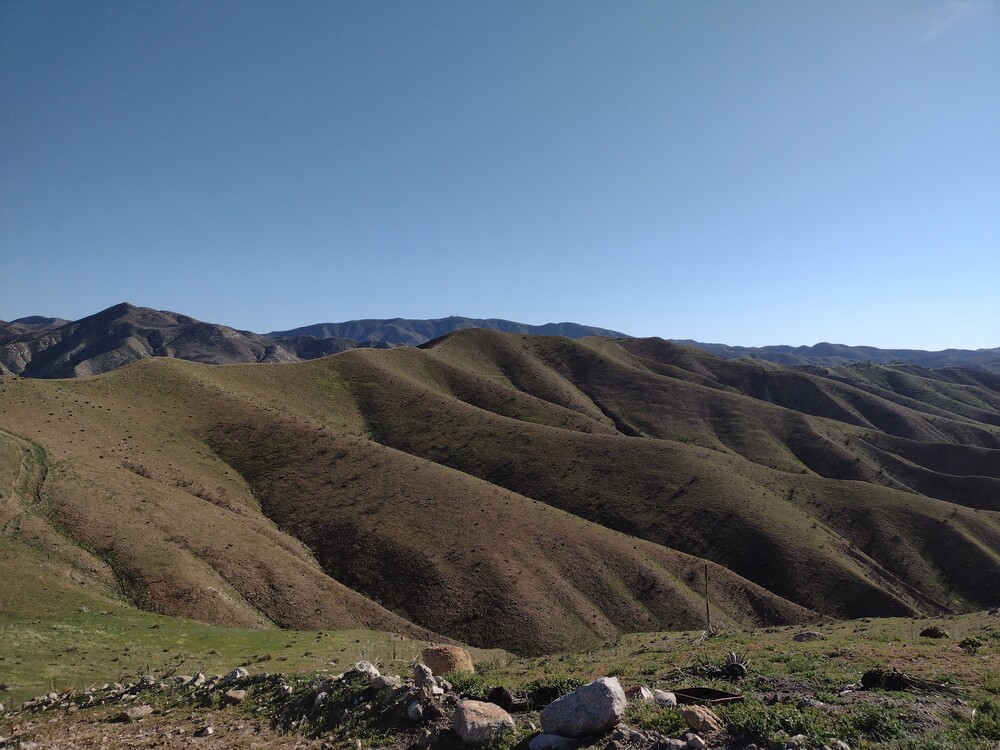
I had a couple days off work without any real plans, so off to Agua Dulce! I parked just off the 14 and hiked down the obvious dirt road. I continued on the road until it ended at a set of power line pylons, then turned south and headed along the ridge line firebreak. The wind was incredibly strong, and at one point almost knocked me over! One false summit with benchmarks along the way. At the real summit, I found additional benchmarks and a summit register. I was able to setup the station just below the ridge which kept me out of the wind. Worked 30M and 40M, one S2S.
https://sotl.as/summits/W6/CT-273
Total distance: 5.36 mi
Max elevation: 2834 ft
Total climbing: 1687 ft
Download file: AguaDulce.gpx
Max elevation: 2834 ft
Total climbing: 1687 ft
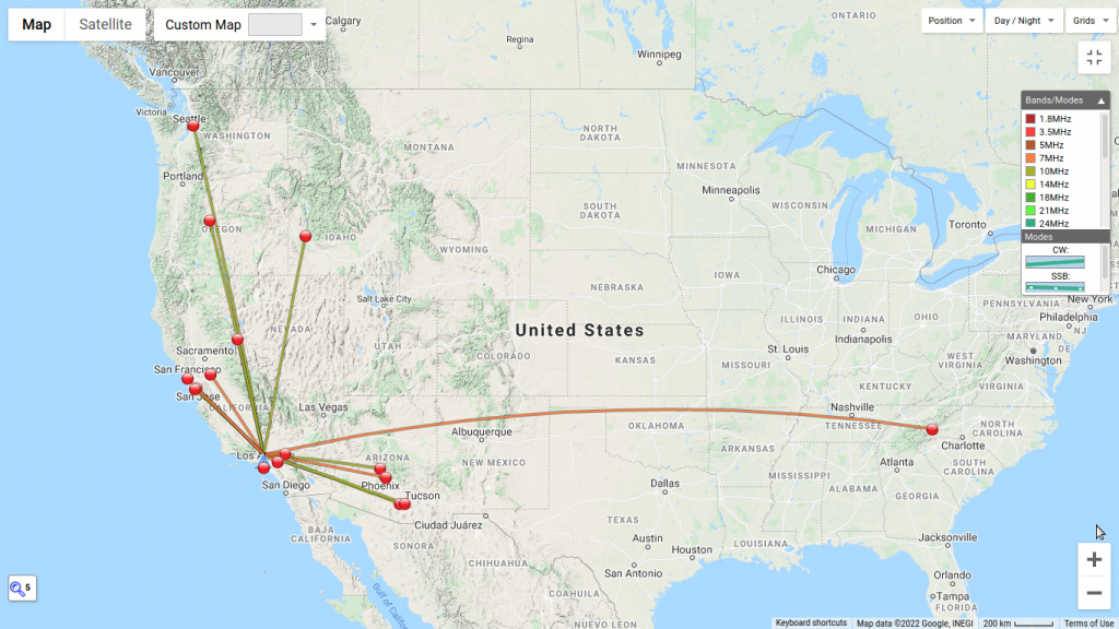
Date:09/02/2022 | Summit:W6/CT-273 (Agua Dulce Benchmark)
| Time | Callsign | Band | Mode | Notes |
|---|---|---|---|---|
| 21:22 | WB6POT | 10MHz | CW | S57N R55N |
| 21:27 | WW7D | 10MHz | CW | S58N R42N |
| 21:28 | WB7ULB | 10MHz | CW | S55N R52N |
| 21:28 | K1LB | 10MHz | CW | S55N R55N |
| 21:29 | K6HPX | 10MHz | CW | S55N R5NN |
| 21:29 | NW7E | 10MHz | CW | S55N R55N |
| 21:30 | K7MK | 10MHz | CW | S58N R55N |
| 21:31 | KF6HI | 10MHz | CW | S57N R57N |
| 21:33 | KR7RK | 10MHz | CW | S5NN R55N |
| 21:35 | K6LDQ | 10MHz | CW | S57N R42N |
| 21:36 | N6OND | 10MHz | CW | S52N R52N |
| 21:58 | AJ6CL | 14MHz | CW | S599 R599 S2S W6/CT-025 |
| 22:02 | N4LAG | 7MHz | CW | S55N R41N |
| 22:03 | N8FN | 7MHz | CW | S58N R55N |
| 22:04 | K6STR | 7MHz | CW | S55N R55N |
| 22:04 | K6YK | 7MHz | CW | S5NN R5NN |
| 22:06 | KN6EZE | 7MHz | CW | S53N R44N |
| 22:07 | W6LOR | 7MHz | CW | S5NN R33N |
| 22:08 | WC6L | 7MHz | CW | S57N R55N |
| 22:09 | K6QCB | 7MHz | CW | S54N R31N |
| 22:11 | K6EL | 7MHz | CW | S33N R55N |
| 22:12 | KE6MT | 7MHz | CW | S55N R53N |