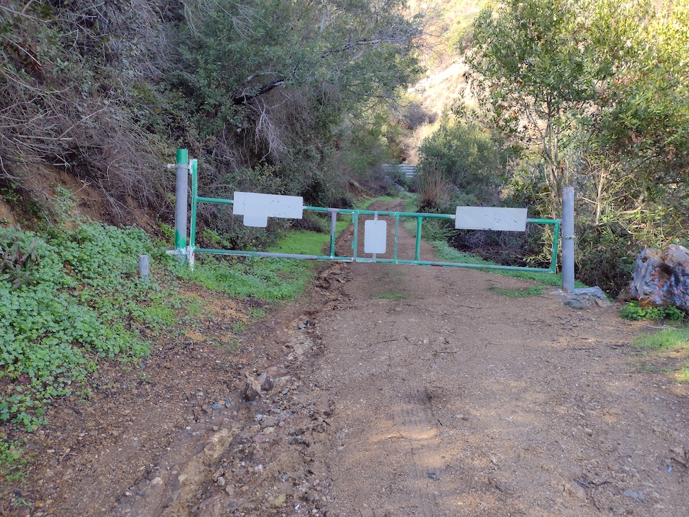
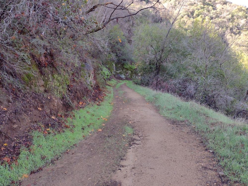
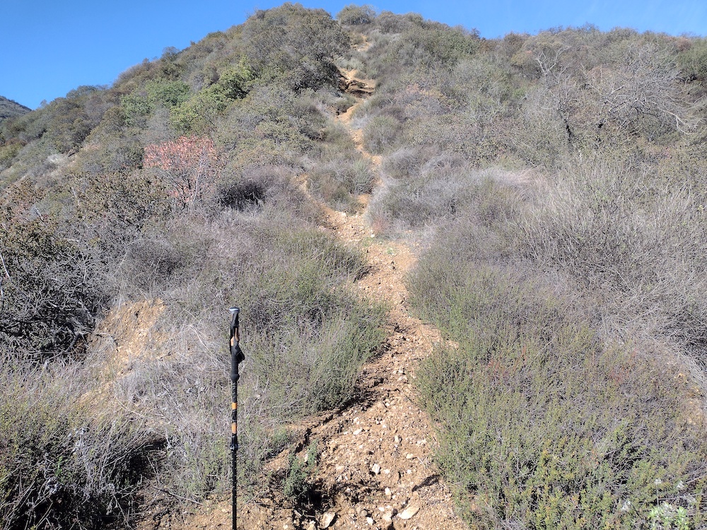
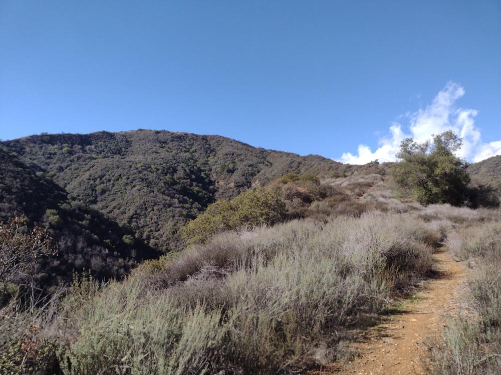
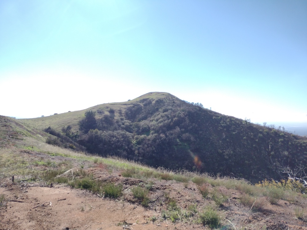
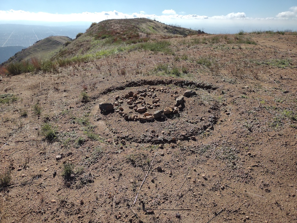
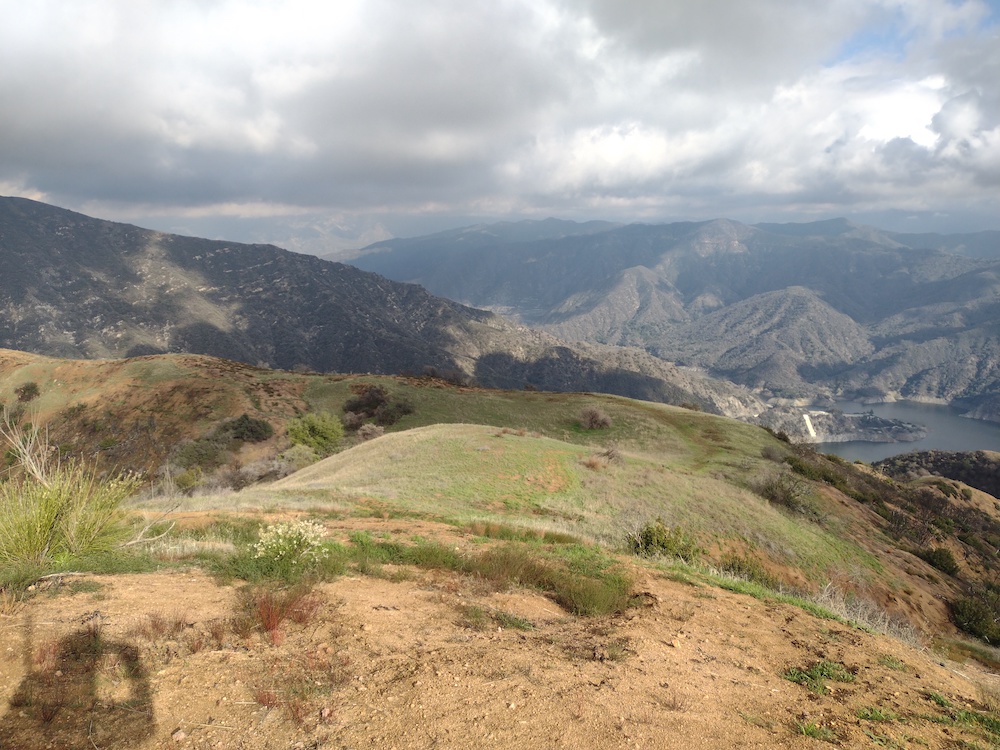
This activation wasn’t really planned. I was actually going to hike a different summit, however the trailhead had a large “Trail Closed” sign due to the Bobcat Fire. This didn’t stop anyone though, as I could see several others hiking up and down the switchbacks…. Anyways, I went back to the car and tried to figure out a plan B, which happened to be 2843. The hike starts out on a fire road. Around the one mile mark, split off road and head up a very steep firebreak. Luckily, we got some rain the ground was grippy instead of loose dust. Eventually you pass another road, but continue straight up the steep firebreak. At this point I felt like I was being stalked by a creature, but I never saw anything. Near the top, the hills were green with fresh grass, that reminded me of the default Windows XP desktop image. Once at the summit I setup my HF station, but I forgot to charge the battery! Doh! I was able to activate the summit with a HT only, on 2M, with one S2S. Hiking down, I wish I had a second trekking pole, because it was very steep!
https://sotl.as/summits/W6/CT-272
Max elevation: 2847 ft
Total climbing: 2043 ft
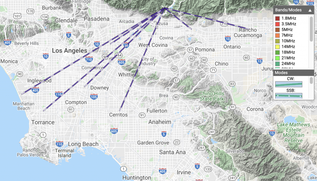
Date:31/12/2021 | Summit:W6/CT-272 (2843)
| Time | Callsign | Band | Mode | Notes |
|---|---|---|---|---|
| 20:35 | N6XZN | 144MHz | FM | S59 R59 S2S W6/CT-212 |
| 20:37 | K6LDQ | 144MHz | FM | S59 R59 |
| 20:38 | KI6SLA | 144MHz | FM | S57 R59 |
| 20:40 | N6MDZ | 144MHz | FM | S22 R55 |
| 21:06 | WB6MYL | 144MHz | FM | S59 R59 |
| 21:12 | KM6CEM | 144MHz | FM | S59 R59 |
| 21:22 | K6QCB | 144MHz | FM | S55 R32 |
| 21:30 | KD7DTS | 144MHz | FM | S59 R50 POTA K-3451 |
| 21:31 | KN6DMO | 144MHz | FM | S59 R59 |