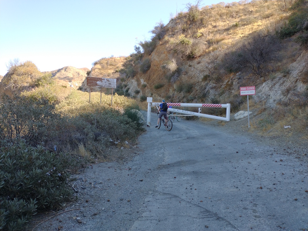
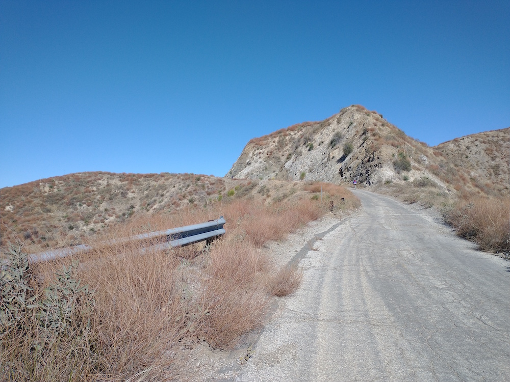
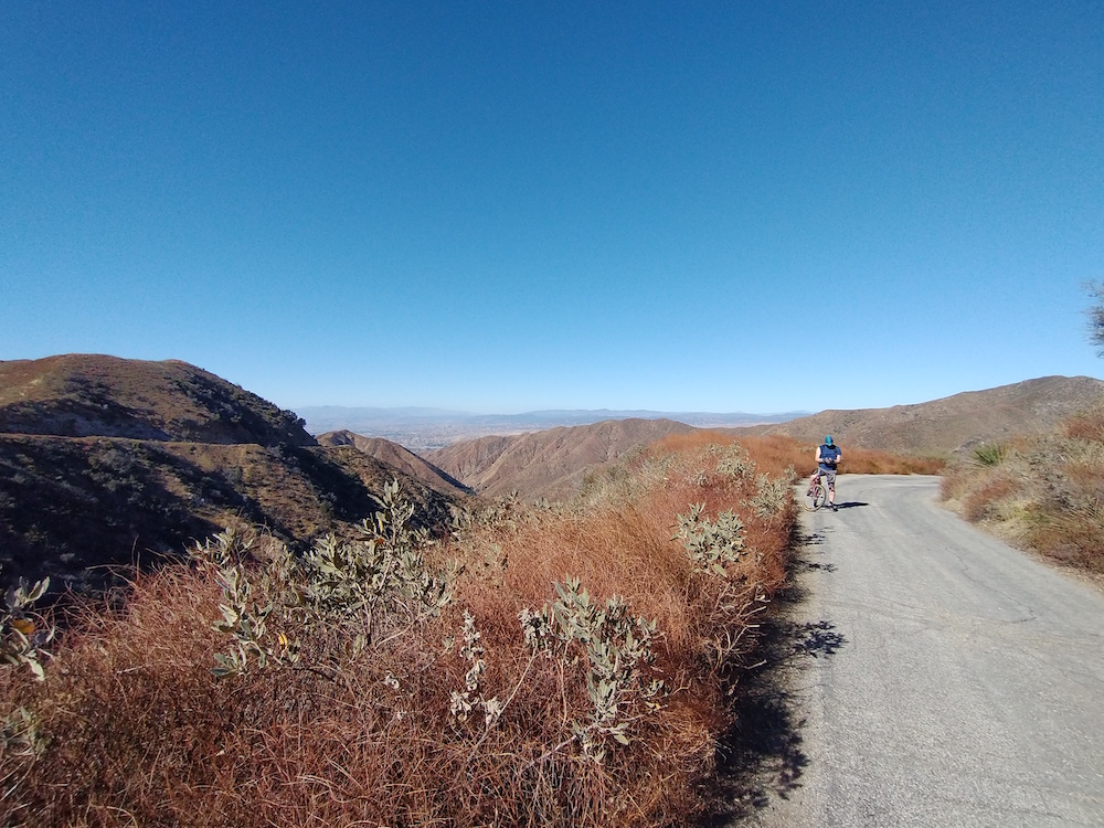
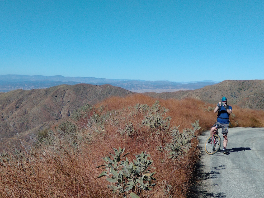
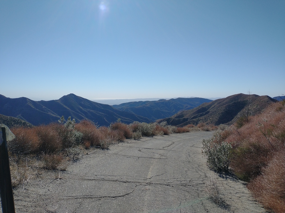
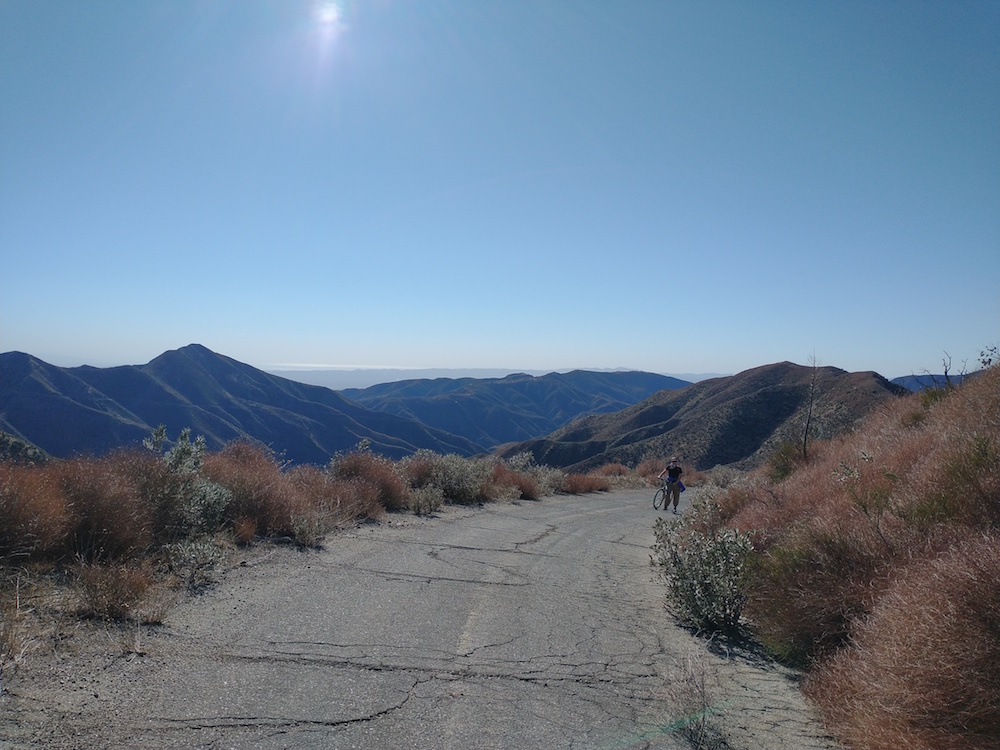
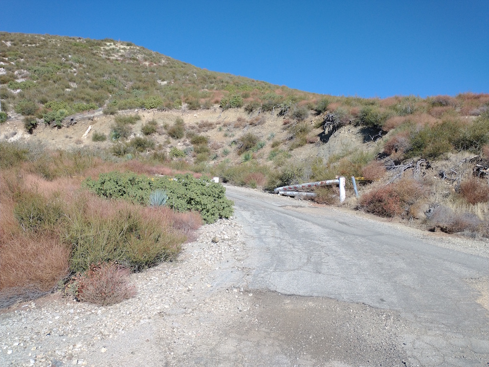
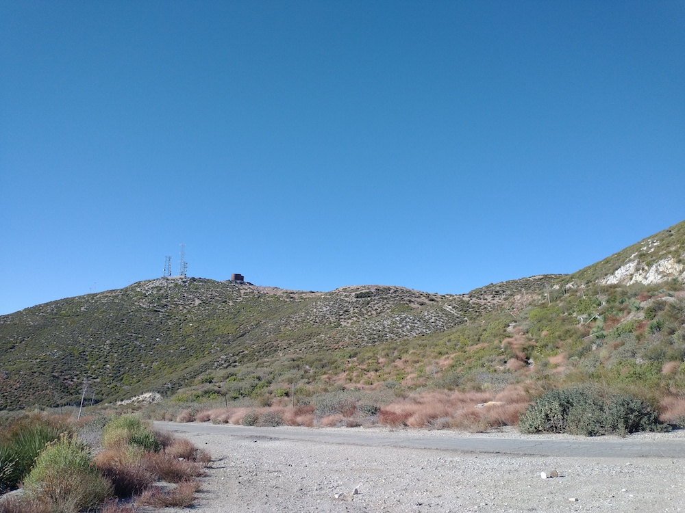
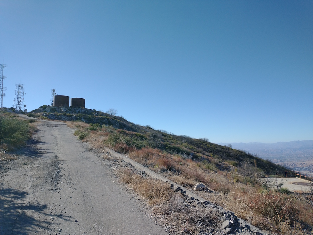
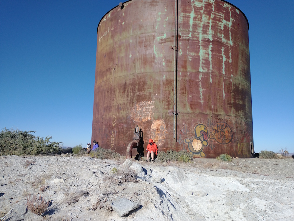
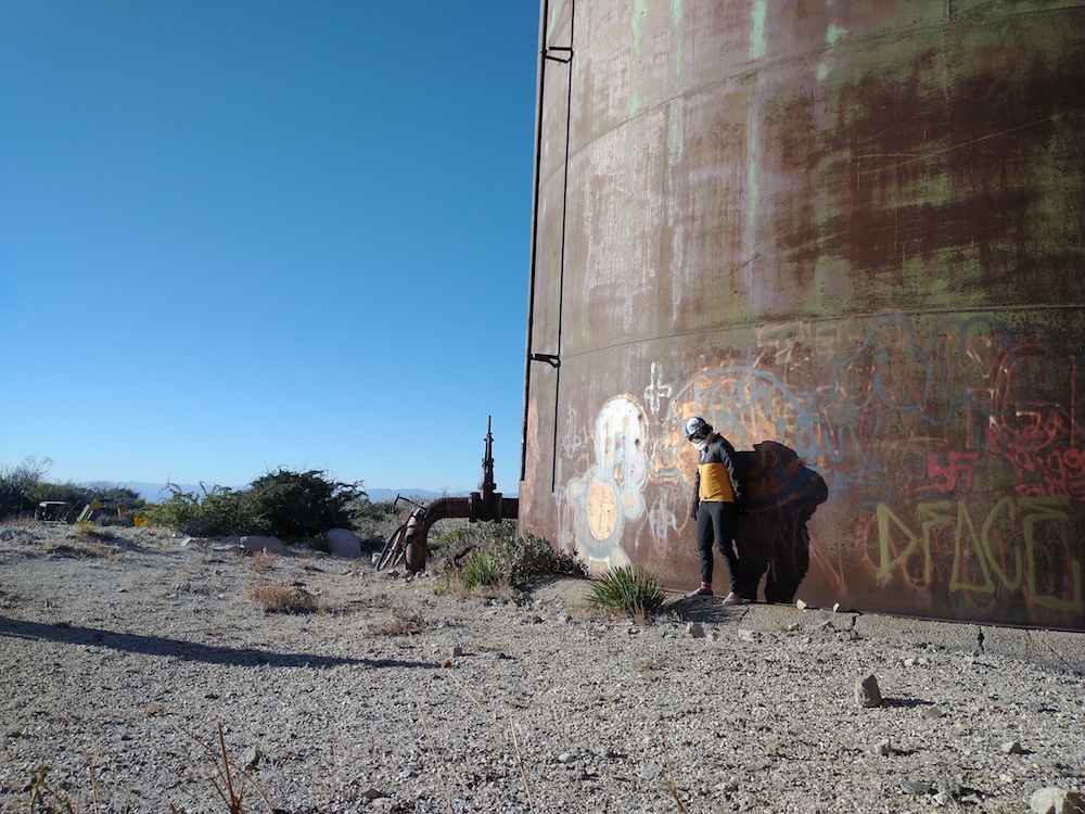
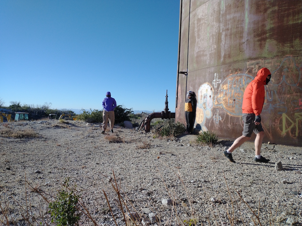
Kel, Esther, Lars, and myself setoff on bicycles to reach the summit of Magic Mountain, which was used by the Marquardt Corporation as a rocket engine test facility. At the top, there are modern radio towers, and two large tanks which held water to cool the rocket engines under test on the pads below. The ride started near Bear Divide, off Little Tujunga Canyon Road, and follows the Santa Clara Truck Trail. Immediately you’re presented with an 8% ~ 11% grade, which lasts for around 2 miles. After a few hundred feet of slight downhill, you get right back to a steep grade for another 4 miles or so. Around mile 6, the paved road will make a sharp left turn through a gate, which leads up to the summit. We found intense winds and cold air at the top which made our time at the summit short. I worked 17M, and 40M. UHF/ VHF might be tough up here without filters due to the proximity to the big radio towers.
https://sotl.as/summits/W6/CT-255
Max elevation: 4872 ft
Total climbing: 2857 ft
Date:27/11/2020 | Summit:W6/CT-255 (Magic Mountain)
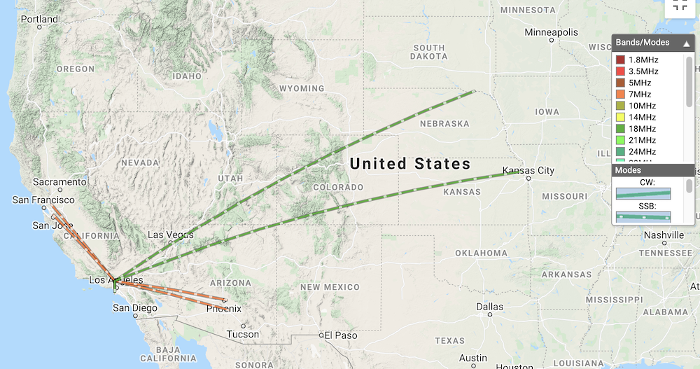
| Time | Callsign | Band | Mode | Notes |
|---|---|---|---|---|
| 22:25 | N0RSR | 7MHz | SSB | 59 59 |
| 22:27 | N6DNM | 7MHz | SSB | 57 59 |
| 22:28 | KN6CCC | 7MHz | SSB | 55 59 |
| 22:30 | W7RV | 7MHz | SSB | 57 59 |
| 22:32 | KG6MZS | 7MHz | SSB | 36 59 |
| 22:35 | K1OTR | 7MHz | SSB | 52 58 |
| 22:37 | K6LDQ | 7MHz | SSB | 36 57 |
| 22:38 | K6EXE | 7MHz | SSB | 55 55 |
| 22:48 | AE0XI | 18MHz | SSB | 57 59 |
| 22:52 | W0MNA | 18MHz | SSB | 44 58 |
| 22:53 | K6LDQ | 18MHz | SSB | 55 59 |
| 22:57 | KG6MZS | 18MHz | SSB | 57 59 |