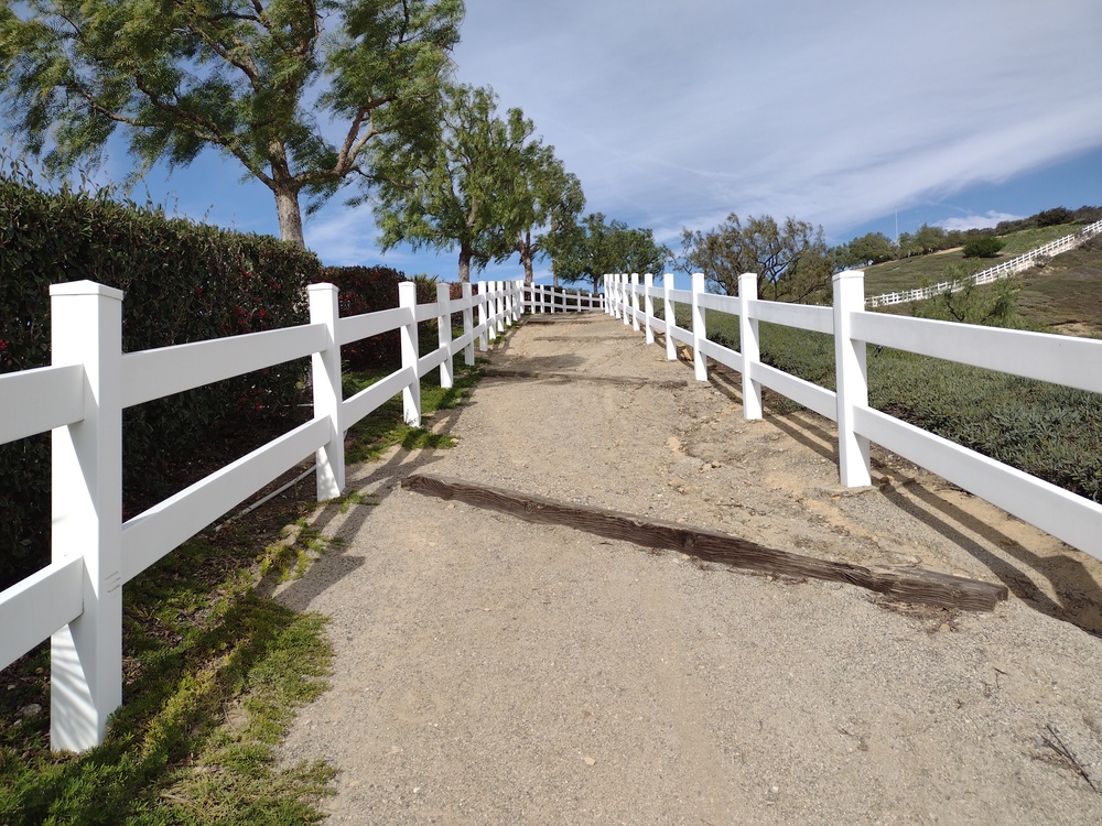
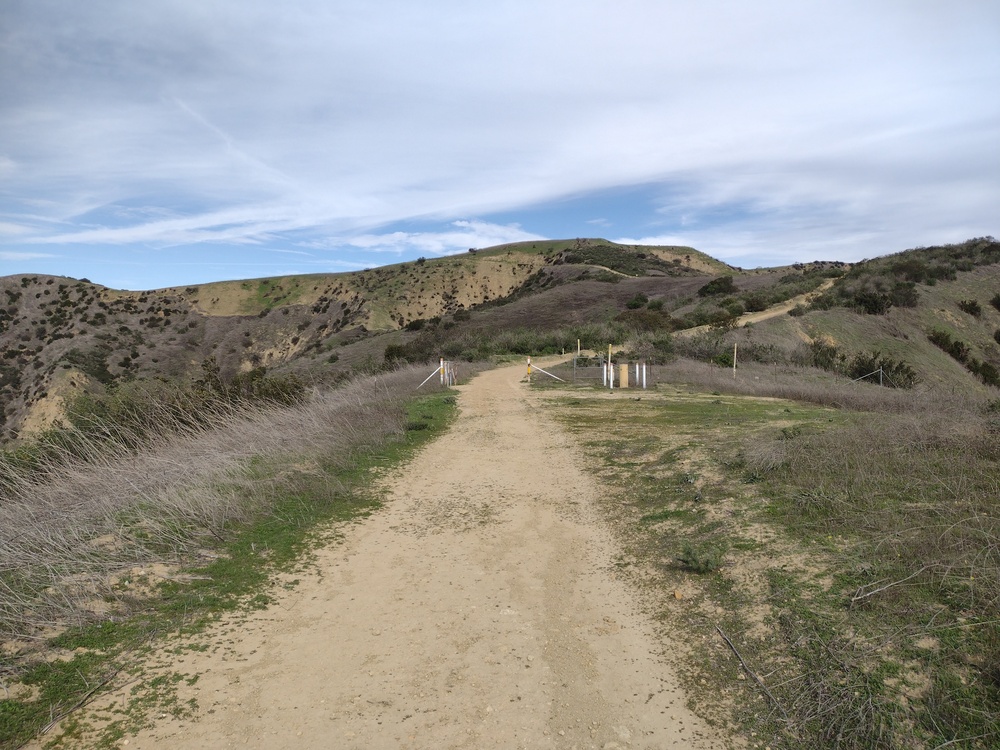
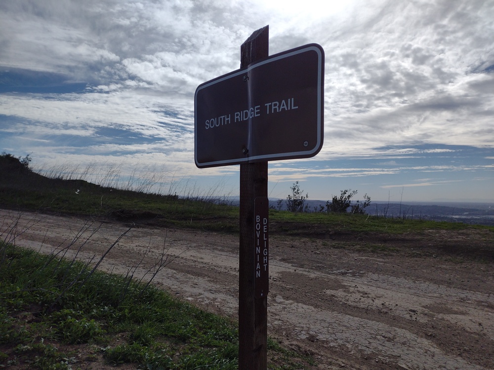
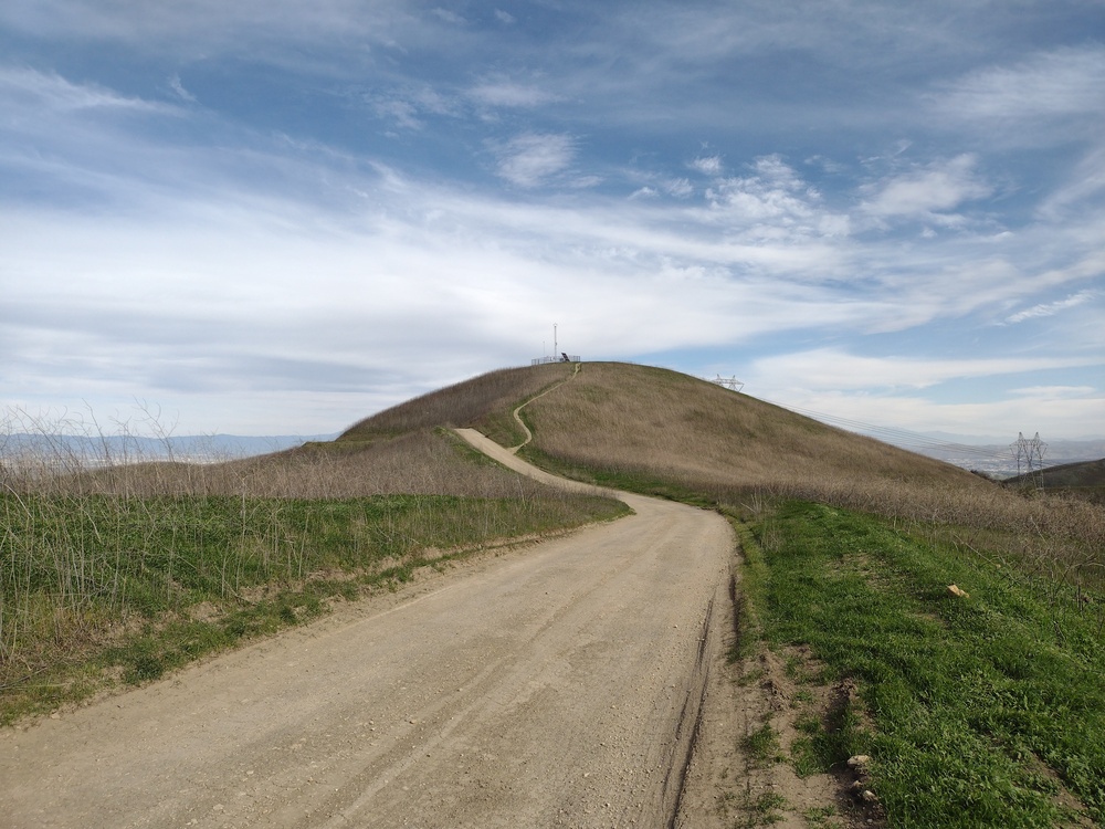
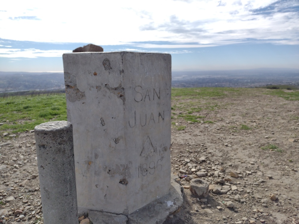
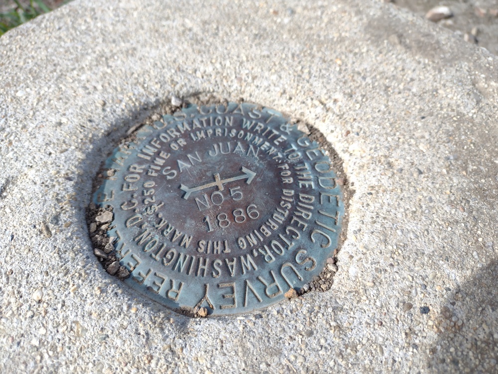
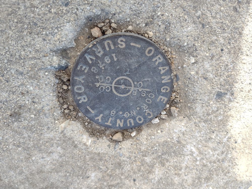
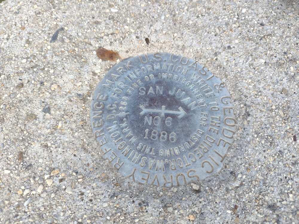
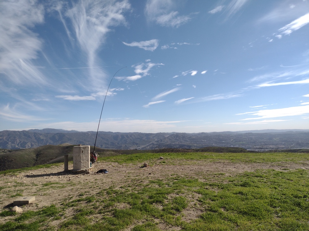
This was my second planned summit of the day, having activated W6/CT-240 earlier. I parked somewhere in a pretty affluent Orange County neighborhood and took what looked like an equestrian trail up to the border of Chino Hills State Park. By this point in the day the wind was becoming pretty strong, but the breeze was welcomed and kept me cool on the unseasonably warm day. After about 2 miles, I found the San Juan summit marker with the date of 1896. This stone and concrete structure was a nice windbreak and kept me up on the summit much longer than if it wasn’t there. I was able to secure my mast to a sturdy post, then setup my vertical. Worked 30M with one S2S. Got no calls on 40M. While packing down I made a few more contacts on 2M FM.
https://sotl.as/summits/W6/CT-230
Max elevation: 1762 ft
Total climbing: 1132 ft
Date:28/01/2022 | Summit:W6/CT-230 (San Juan Hill)
| Time | Callsign | Band | Mode | Notes |
|---|---|---|---|---|
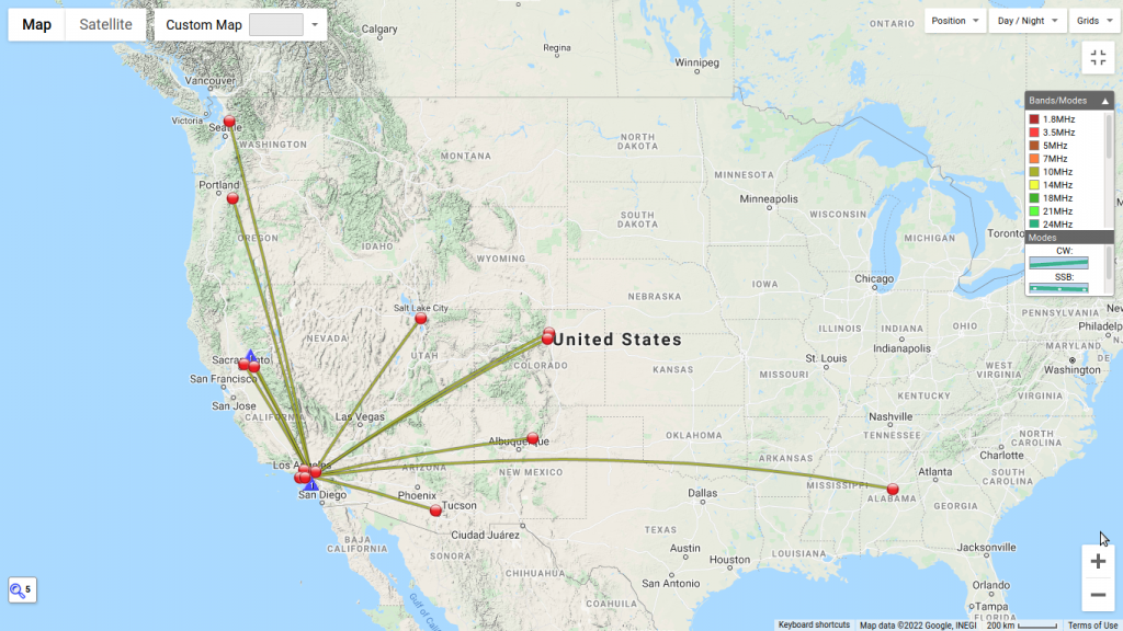
| 21:54 | W6DT | 10MHz | CW | S55 R57 S2S W6/NS-422 |
| 22:00 | KA7GPP | 10MHz | CW | S22N R55N |
| 22:01 | AI6XG | 10MHz | CW | S52N R44N |
| 22:03 | WB7VTY | 10MHz | CW | S55N R55N |
| 22:06 | K6LDQ | 10MHz | CW | S58N R52N |
| 22:07 | W0JSL | 10MHz | CW | S45N R42N |
| 22:08 | KT5X | 10MHz | CW | S5NN R33N |
| 22:10 | WC6J | 10MHz | CW | S51N R22N |
| 22:11 | WN4AT | 10MHz | CW | S51N R22N |
| 22:14 | N6PKT | 10MHz | CW | S58N R55N |
| 22:16 | K7EA | 10MHz | CW | S58N R55N |
| 22:22 | KX0Y | 10MHz | CW | S57N R33N |
| 22:22 | K6QCB | 10MHz | CW | S55N R57N |
| 23:01 | KI6SLA | 144MHz | FM | S59 R55 |
| 23:02 | KM6UHU | 144MHz | FM | S59 R54 |
| 23:05 | KE6ZGR | 144MHz | FM | S59 R59 |
| 23:13 | N6XZN | 144MHz | FM | S59 R59 |
| 23:14 | KE6YEX | 144MHz | FM | S59 R59 |