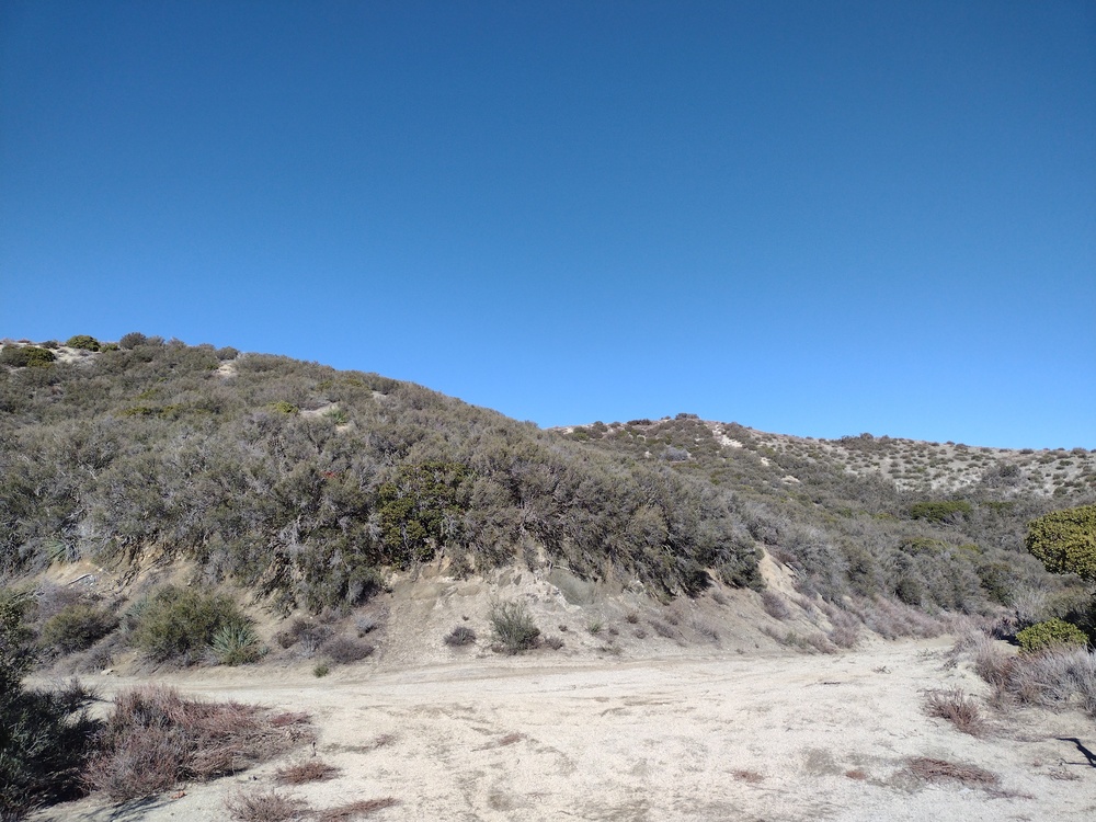
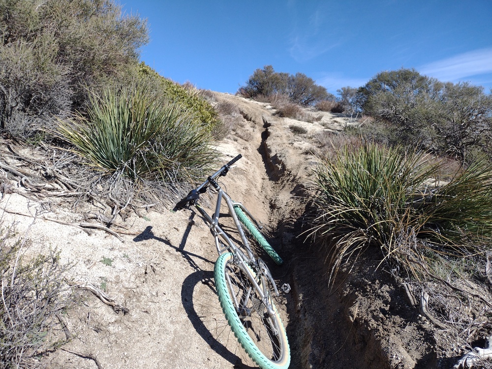
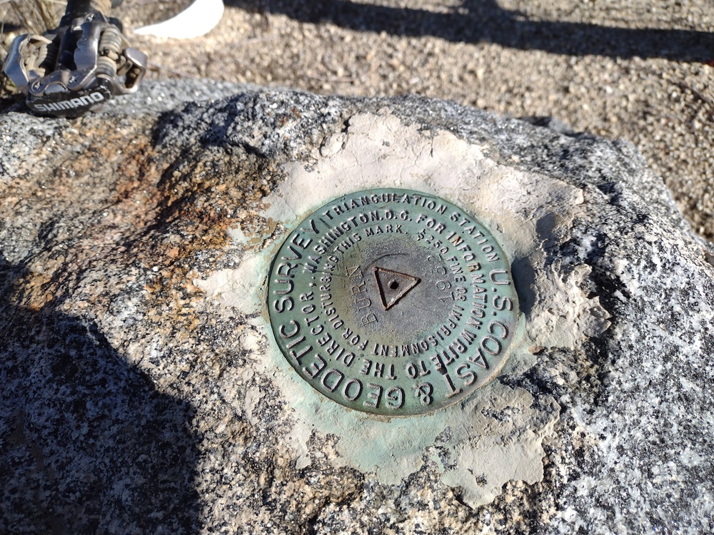
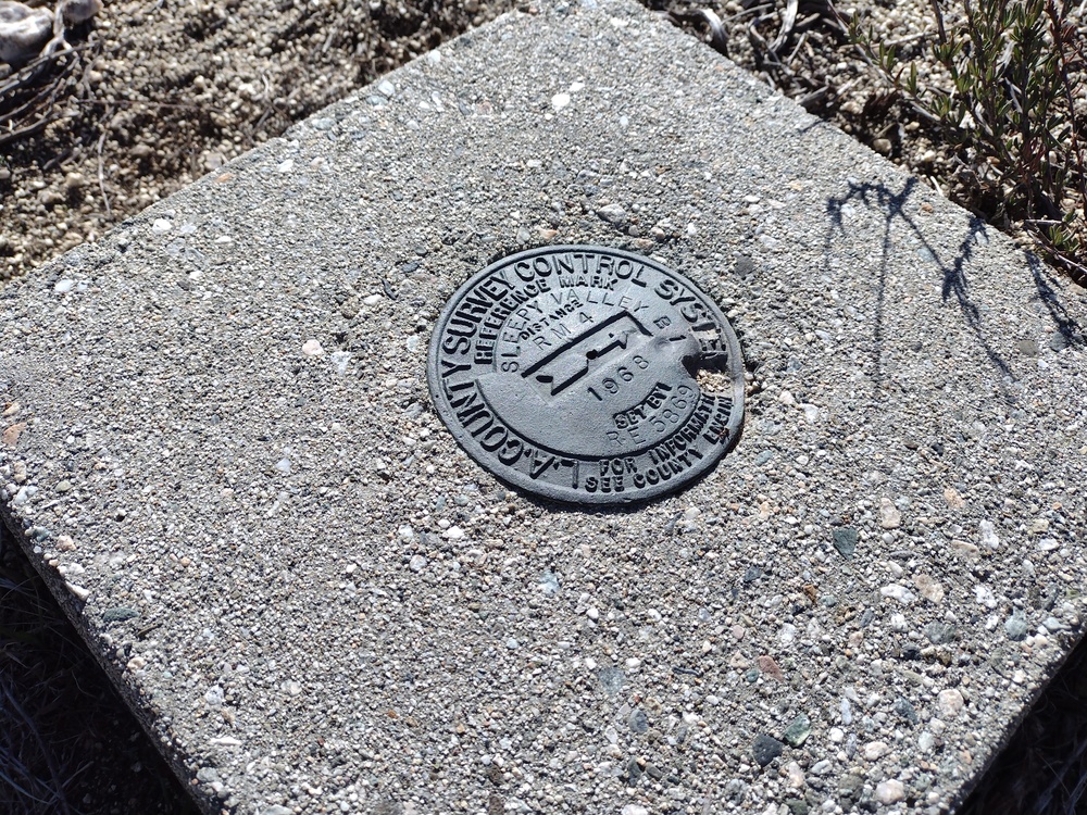
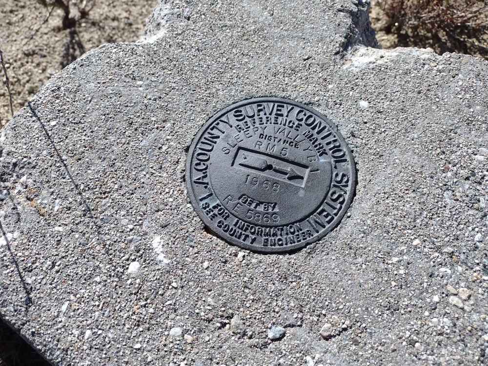
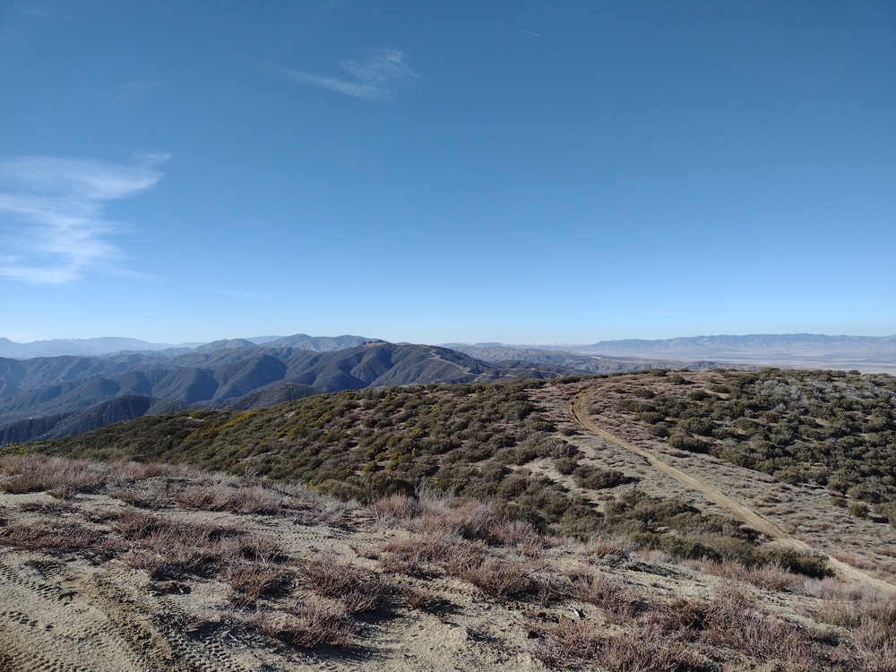
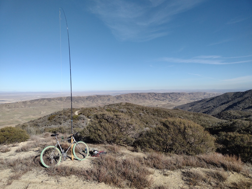
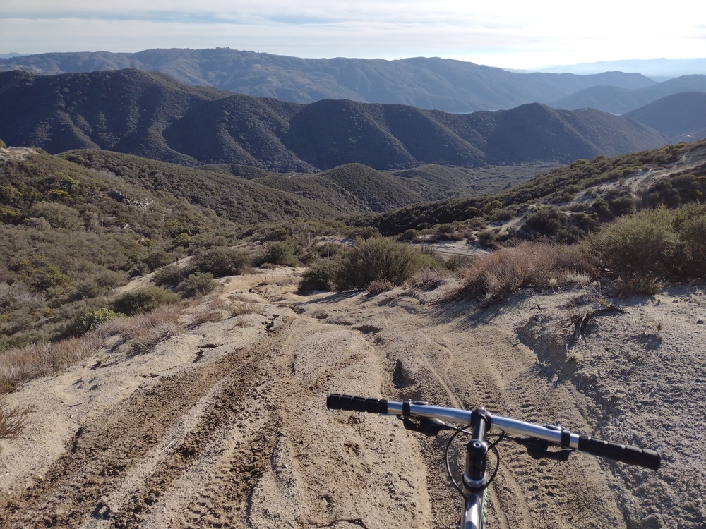
This was the second summit of the day, having just activated Grass Mountain on the other side of the paved road. Like Grass Mountain, you could pretty much drive this one but I took a mountain bike. The road up was a nice gradual uphill until the last mile or so where it got steeper. The surface condition on this part was deteriorating to to aggressive off road vehicle tires so it was difficult to cycle so I walked a few chunks. Near the summit, I followed a dirt bike trail up, which lead straight to the summit. Sadly, the whole area is a dirt bike hellscape and isn’t very nice. There were several benchmarks, one 90 years old, which I found interesting. Worked 30M and 20M, one S2S. Sadly, I forgot to turn my GPS on, so no recorded track.
https://sotl.as/summits/W6/CT-136
Date:08/01/2022 | Summit:W6/CT-136 (Burn Benchmark)
| Time | Callsign | Band | Mode | Notes |
|---|---|---|---|---|
| 21:49 | W3QP | 14MHz | SSB | S22 R33 S2S W3/PD-004 |
| 22:00 | WW7D | 10MHz | CW | S5NN R53N |
| 22:01 | WA6KYR | 10MHz | CW | S44N R44N |
| 22:02 | K6HPX | 10MHz | CW | S58N R55N |
| 22:04 | KT5X | 10MHz | CW | S55N R33N |
| 22:06 | W5ESE | 10MHz | CW | S22N R22N |
| 22:07 | KF9D | 10MHz | CW | S57N R55N |
| 22:34 | NW7E | 14MHz | CW | S45N R55N |
| 22:35 | K0LAF | 14MHz | CW | S589 R55N |
| 22:36 | NU7A | 14MHz | CW | S559 R449 |
| 22:38 | NM5BG | 14MHz | CW | S52N R33N |
| 22:39 | K7MK | 14MHz | CW | S55N R57N |
| 22:41 | NK5SD | 14MHz | CW | S589 R41N |
| 22:43 | N5YYX | 14MHz | CW | S56N R559 |
| 22:45 | W5ODS | 14MHz | CW | S55N R56N |
| 22:50 | W6TDX | 14MHz | CW | S589 R589 |
| 22:52 | JH1MXV | 14MHz | CW | S339 R39 |
| 22:55 | AE4FZ | 14MHz | CW | S549 R53N |