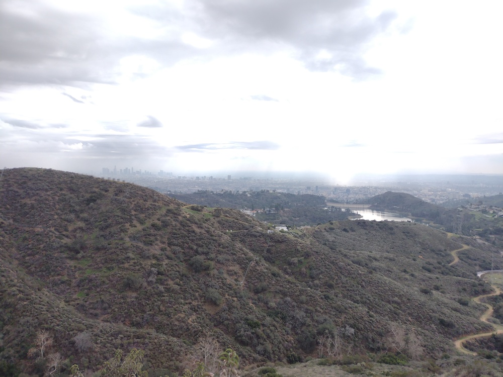
If you live in Los Angles chances are you have looked at this summit several times, it’s right next to the world famous Hollywood sign. I live just a few mile away, however It took me awhile to actually activate it, and honestly, I tried to a few times but got discouraged and did something else. Why? From the parking area, you can see streams of people hiking up and down the hillside. Way too crowded for me, way too crowded to put up any kind of antenna without being in the way.
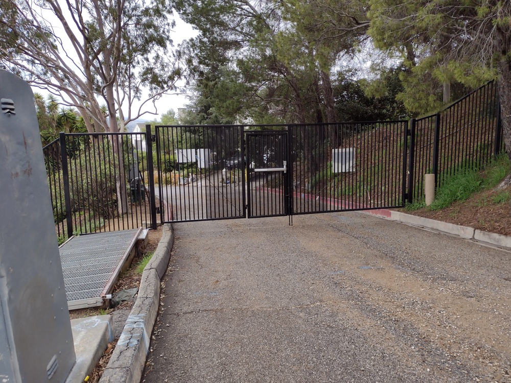
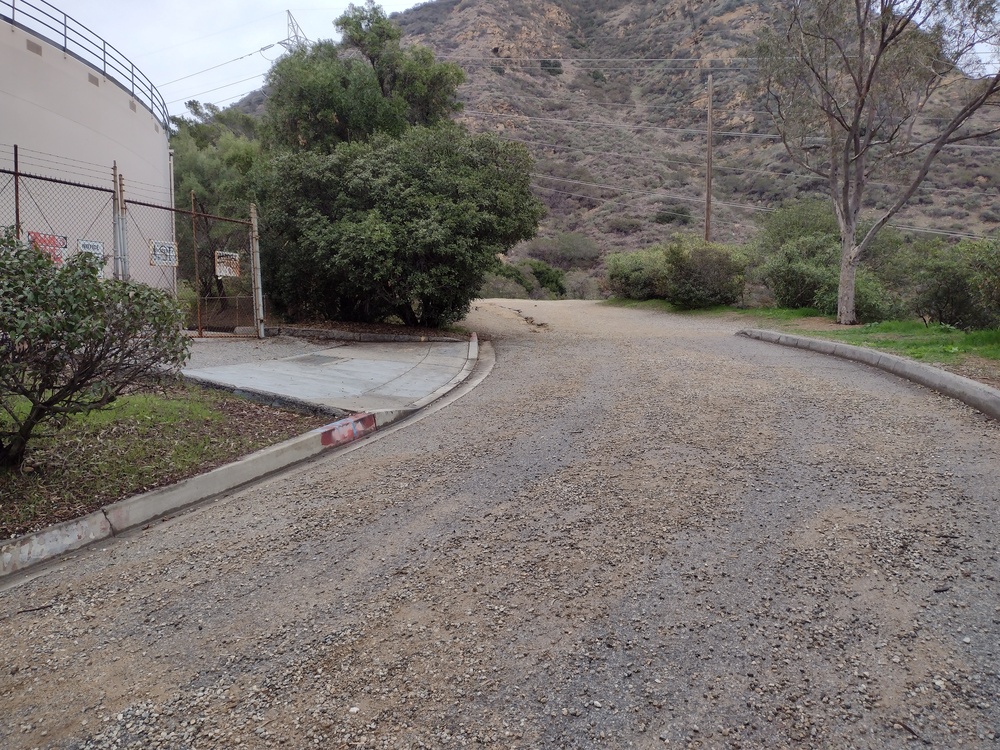
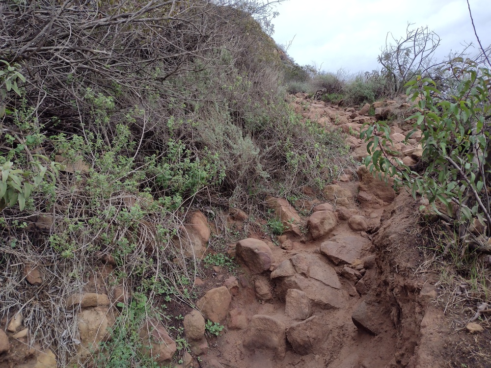
One rainy day I wanted to get out of the house and thought the weather might keep people inside, so I headed over to the trailhead. While the trail wasn’t completely empty, it wasn’t jam packed as I’ve observed before. Since rain has been scare around here for the past few years it was either now, or maybe next year, so I headed up. he trail was steeper than I imagined, but nothing that difficult.
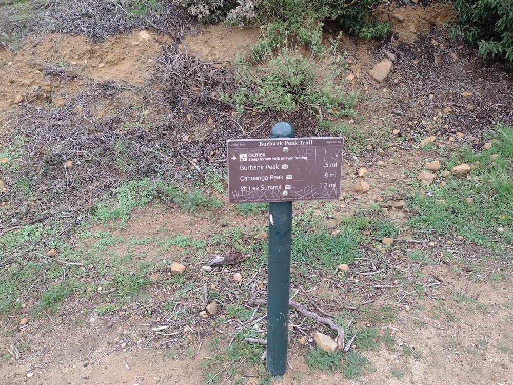
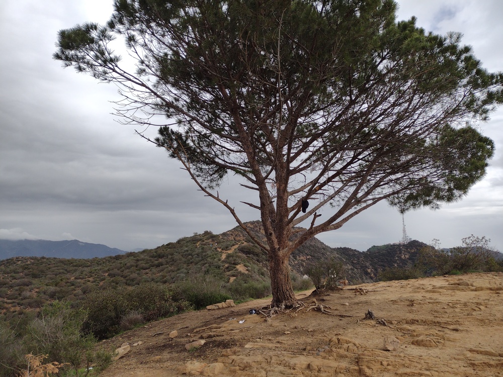
At the top of the ridge, I went to look at the wisdom tree. I could see this single tree from my old office on Wilshire. Rumor says it came in a McDonald’s Happy Meal in the 70’s as a sapling, and someone planted it up there and returned with water every few weeks to keep it alive. I have no idea if this is true or not but it’s a good story. After trying to grab a photo of it without people taking 100 selfies in the background, I continued up the ridge to the summit marker.
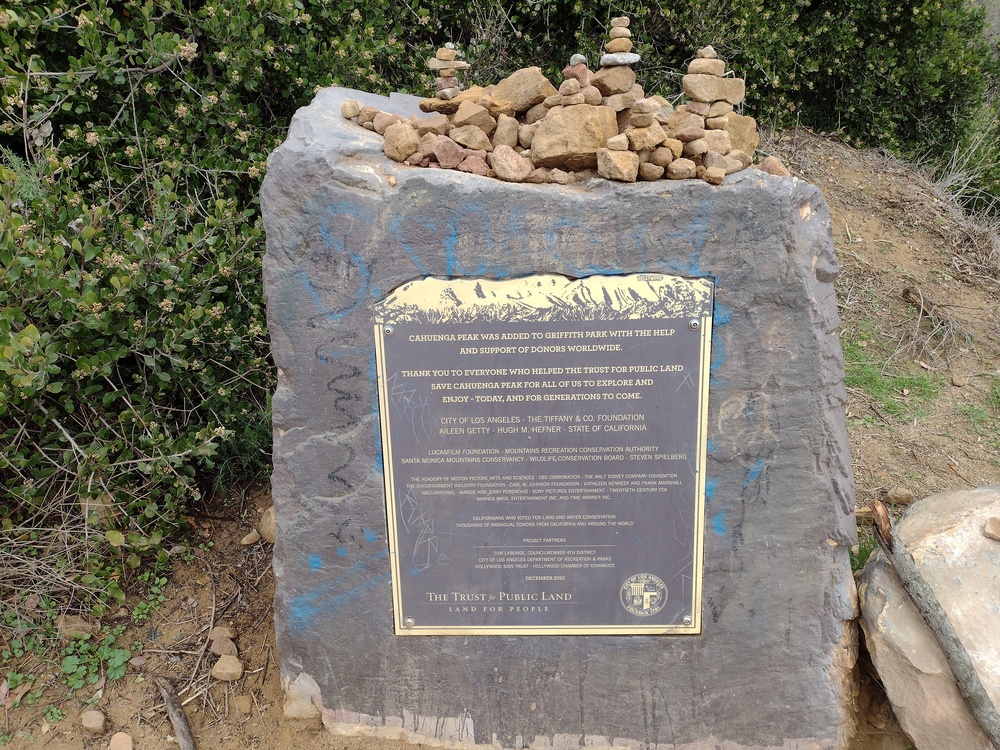
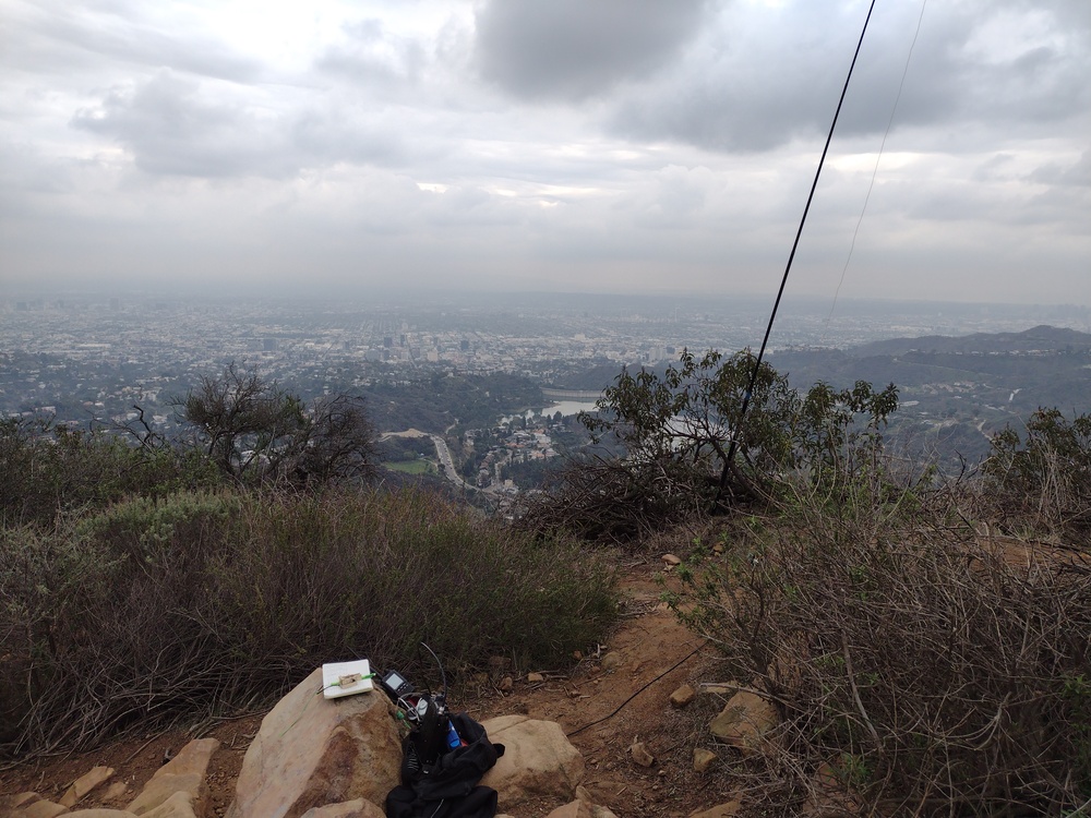
Shortly after leaving the tree I arrived at the summit marker. Since this is a ridge, there isn’t a lot of room, but I was able to find a small offshoot to setup the station that was mostly out of the way. I setup the vertical and got everything setup. Worked 30M, 40M, and 20M CW. This was hard at times because at one point there were loud kids just a few feet away from me. In addition, hikers would use the small offshoot I was on, and I worried about someone tripping over one of the wires I had going everywhere.
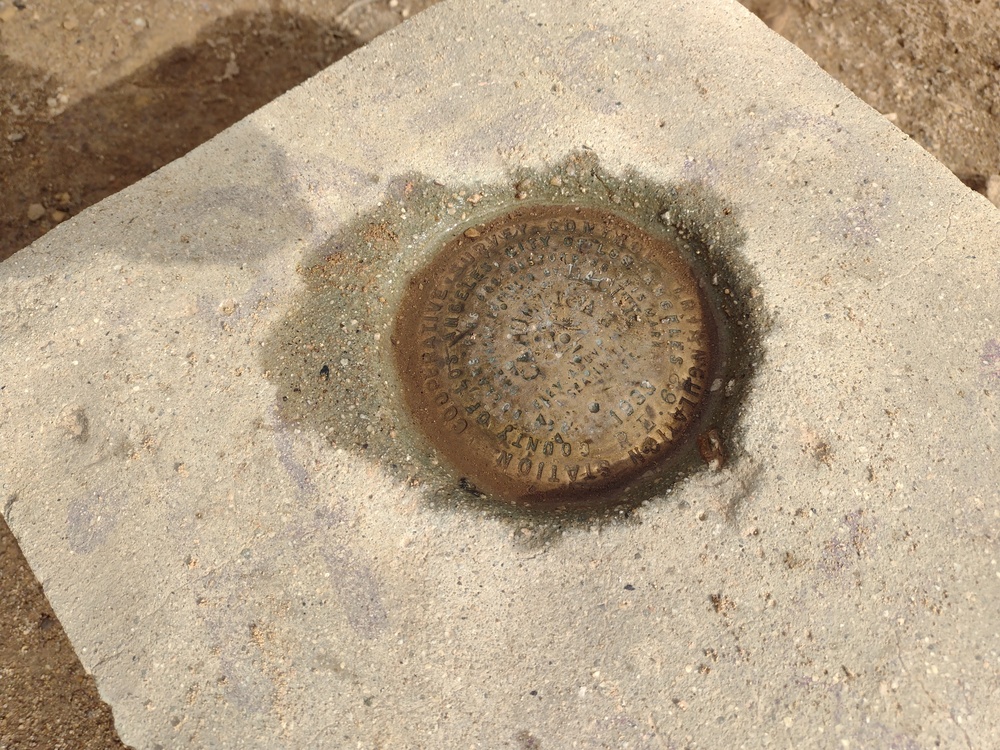
After working all the chasers, the station was packed down and put away. I hiked around and found the benchmark, then considered going over to the Hollywood sign, but decided not to. I think it took longer to get down that it was to get up because the weather cleared and there were more trail users. Overall, it was a fun day, but I wish it rained a bit harder, for a bit longer.
https://sotl.as/summits/W6/CT-037
Max elevation: 1812 ft
Total climbing: 1011 ft
Date:17/01/2022 | Summit:W6/CT-037 (Cahuenga Peak)
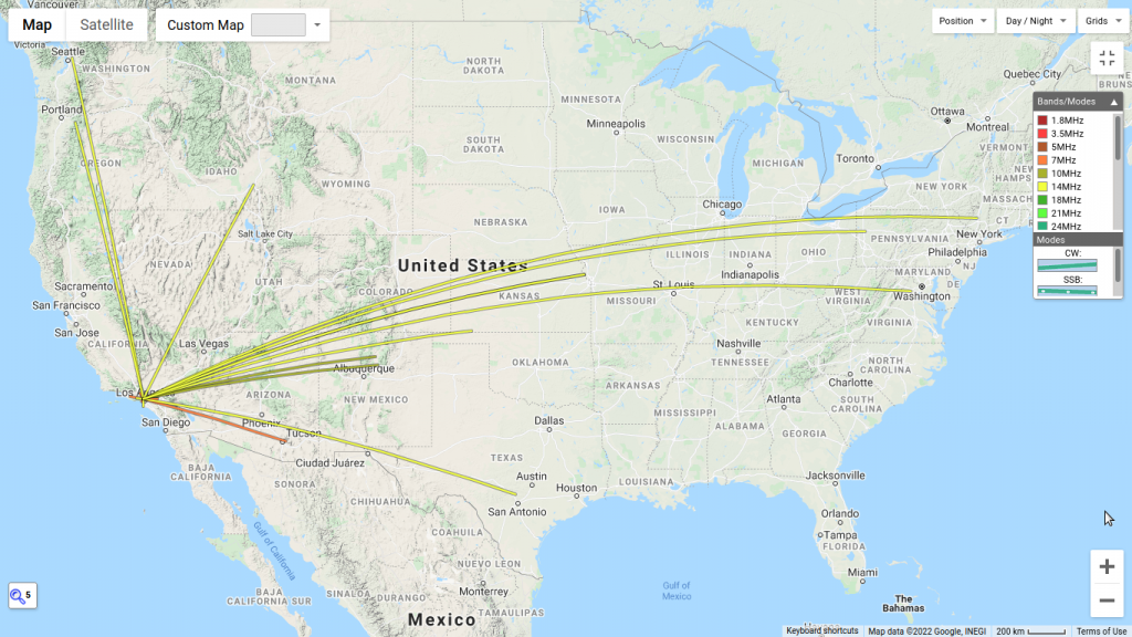
| Time | Callsign | Band | Mode | Notes |
|---|---|---|---|---|
| 20:54 | K7SO | 10MHz | CW | S45N R55N |
| 21:02 | KT5X | 10MHz | CW | S55N R55N |
| 21:11 | WA6KYR | 7MHz | CW | S58N R55N |
| 21:13 | KN6EZE | 7MHz | CW | S22N R44N |
| 21:14 | KN6DMO | 7MHz | CW | S53N R5NN |
| 21:15 | KI6PMD | 7MHz | CW | S599 R599 |
| 21:17 | K6QCB | 7MHz | CW | S45N R42N |
| 21:20 | KR7RK | 7MHz | CW | S41N R52N |
| 21:22 | KN6G0G | 7MHz | CW | S31N R32N |
| 21:27 | K6CPR | 7MHz | CW | S53N R319 |
| 21:28 | NK6A | 7MHz | CW | S5NN R5NN |
| 21:42 | WB2FUV | 14MHz | CW | S45N R44N |
| 21:43 | WW7D | 14MHz | CW | S55N R53N |
| 21:45 | K9WO | 14MHz | CW | S55N R55N |
| 21:46 | W0MNA | 14MHz | CW | S53N R55N |
| 21:47 | AD5A | 14MHz | CW | S45N R55N |
| 21:49 | N6MKW | 14MHz | CW | S45N R5NN |
| 21:50 | W0ERI | 14MHz | CW | S55N R55N |
| 21:51 | KG3W | 14MHz | CW | S45N R33N |
| 21:53 | WB7VTY | 14MHz | CW | S53N R53N |
| 21:53 | K6TUY | 14MHz | CW | S54N R56N |
| 21:54 | NG6R | 14MHz | CW | S58N R58N |
| 21:55 | N0RZ | 14MHz | CW | S55N R55N |
| 21:56 | N0DNF | 14MHz | CW | S58N R33N |
| 21:58 | W4KRN | 14MHz | CW | S52N R44N |