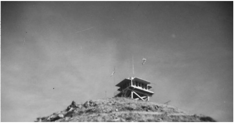
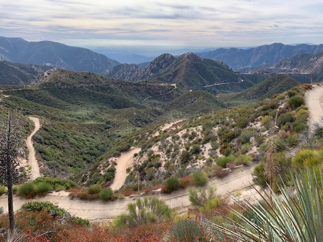
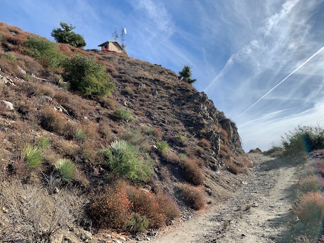
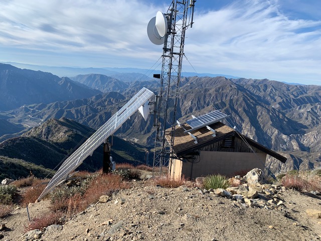
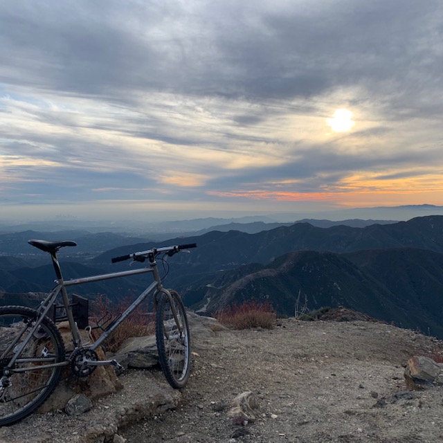
Another day off work means another SOTA activation. I had Josephine Peak on my radar because there is a fire road all the way to the top, which means I could ride a bike up to the summit. I made it a bit over a mile up the road before I needed to stop and walk. After that it was intermittent riding/ pushing. There are several switchbacks which make the grade a bit easier, but these obviously add quite a bit of distance to the route – something I didn’t think about when starting this activation. At the top of the summit there is evidence of a fire lookout tower, and a small shelter for radio equipment. I made a surprising amount of contacts on 2M given it was a Tuesday; 20M and 40M felt quiet but I still managed a few contacts on each. It got cold and dark quickly, so I tore the station down and headed to my car which was parked on highway 2. The downhill ride was fast; I was on both brakes hard the entire way to maintain a reasonable speed. Overall, this was a fun activation.
2020 activation report here.
https://summits.sota.org.uk/summit/W6/CT-025
(Update 05-09-2022 – a server migration, plugin and php update revealed the timestamps on this .gpx file are broken. I’ve added fake times so this page renders correctly)
Max elevation: 5555 ft
Total climbing: 2056 ft
Date:10/Dec/2019 Summit:W6/CT-025 (Josephine Peak)
| Time | Call | Band | Mode | Notes |
|---|---|---|---|---|
| 22:40z | KM6CJK | 433MHz | FM | |
| 22:53z | KJ6MCO | 144MHz | FM | |
| 22:55z | AD6JK | 144MHz | FM | |
| 22:56z | KD6UTC | 144MHz | FM | |
| 22:57z | AI6ZV | 144MHz | FM | |
| 22:58z | KM6RKK | 144MHz | FM | |
| 22:59z | K6LDQ | 144MHz | FM | |
| 23:02z | KG6MDH | 144MHz | FM | |
| 23:05z | KN6EIE | 144MHz | FM | |
| 23:07z | KI6NAZ | 144MHz | FM | |
| 23:11z | KM6TNT | 144MHz | FM | |
| 23:19z | ZL2IFB | 14MHz | SSB | |
| 23:20z | W0MA | 14MHz | SSB | |
| 23:21z | W0ERI | 14MHz | SSB | |
| 23:35z | WU7H | 7MHz | SSB | |
| 23:39z | NW7E | 7MHz | SSB |
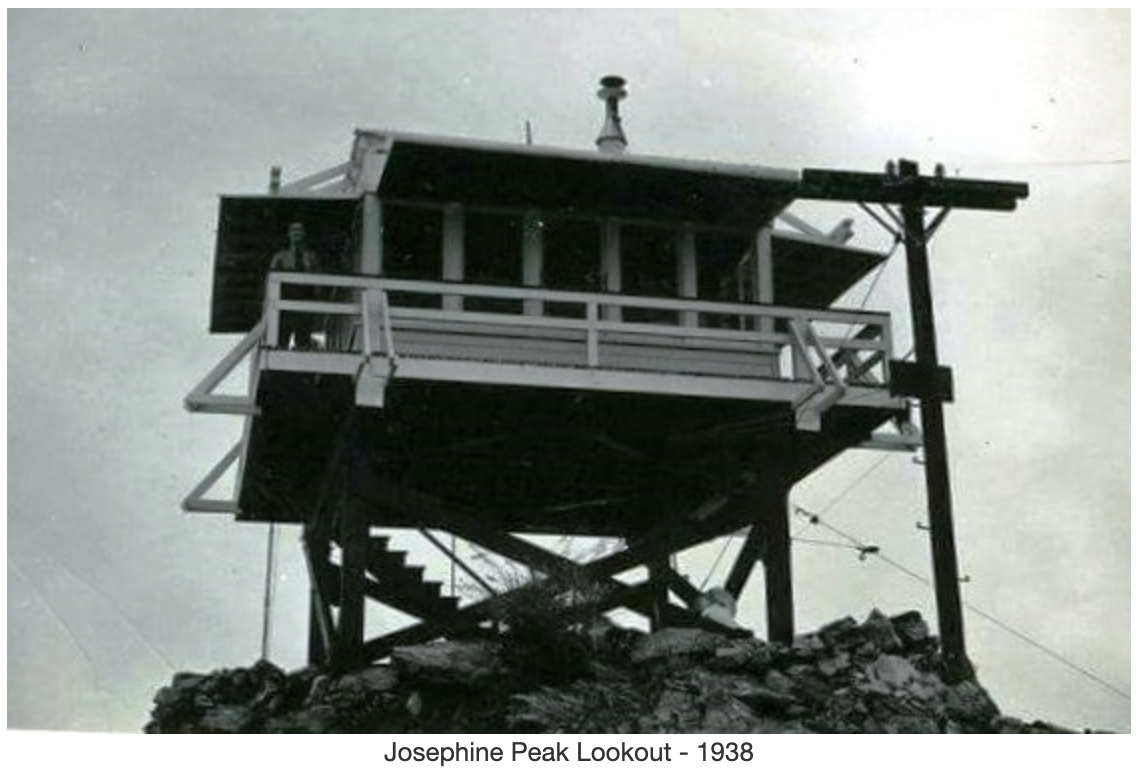
Edit – December 5th, 2022. Description and photos of the lookout tower from firetower.org, used without permission.
http://firetower.org/lookouts/us/ca/josephine-peak-lookout-site/
Description
Josephine Peak Lookout was constructed in 1935, a California Region 5 Plan BC-301 on a short, open timber tower.
Some stories suggest the structure was moved from Mount Lukens but the photos of that lookout suggest an earlier design, Plan 4AR.
The lookout was burned in the 1975 Big Tujunga Fire and not replaced.