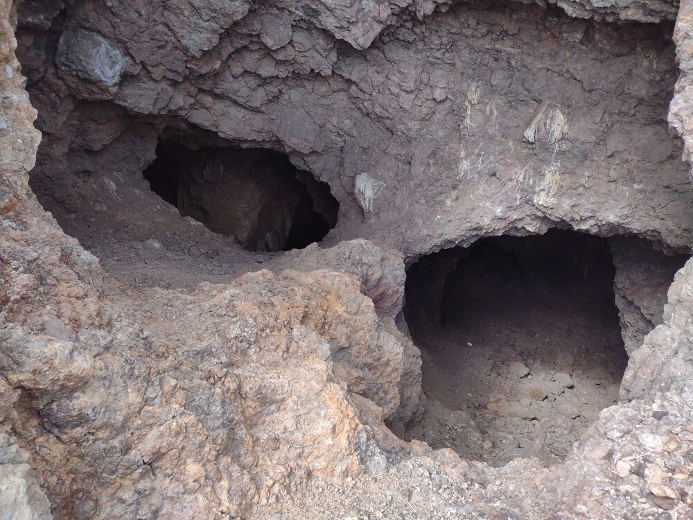
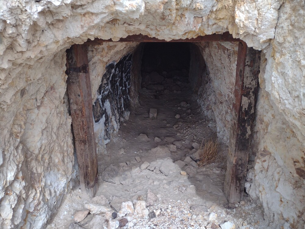
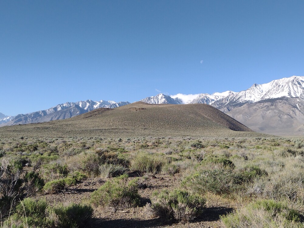
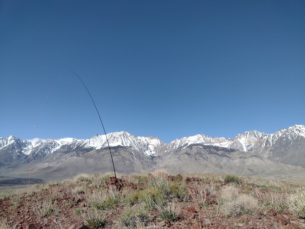
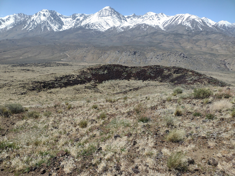
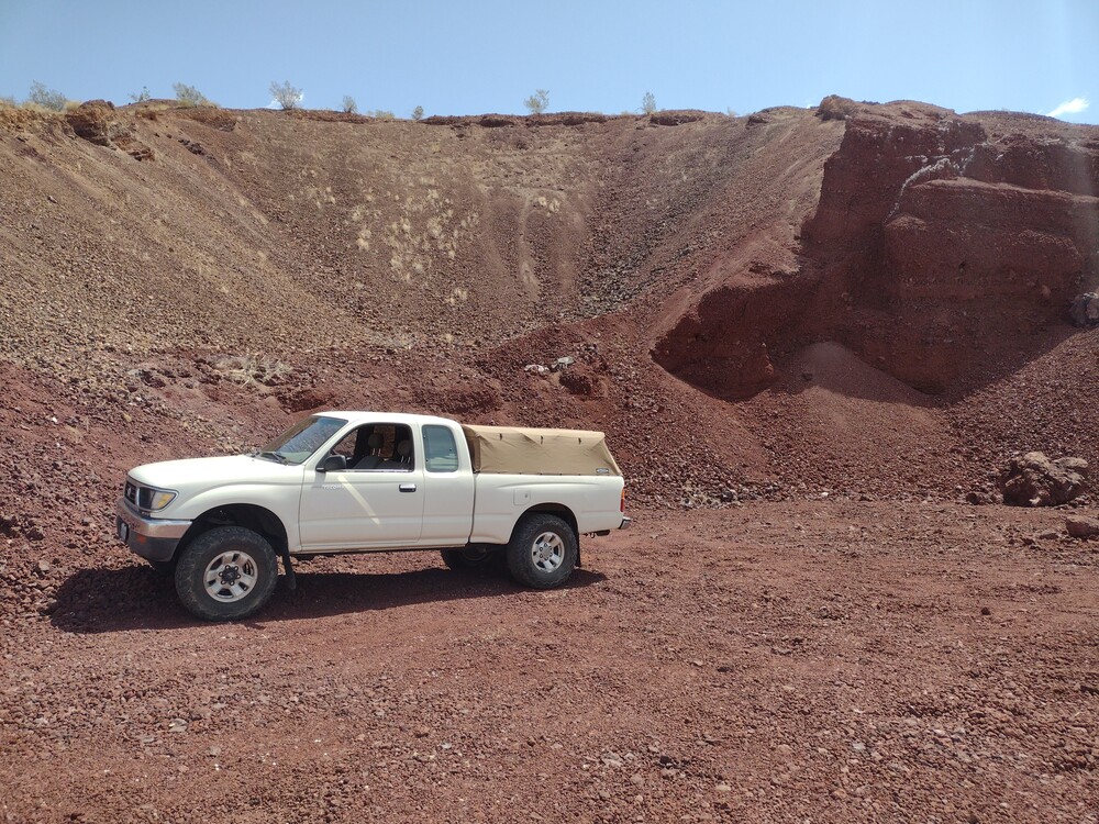
If you let a carbureted motorcycle sit in your backyard under the sun for months at a time, chances are the fuel will evaporate, leaving behind crusty gunk that clogs a labyrinth of tiny holes contained in the carburetor. These holes control the fuel/ air mixture and when they foul, the engine will run poorly, or not at all. The solution is to run the engine with fresh fuel periodically and never let it get to the point where the carb needs to come off for service. I did just that on this three summit moto day. See GPX below.
Total climbing: 19429 ft
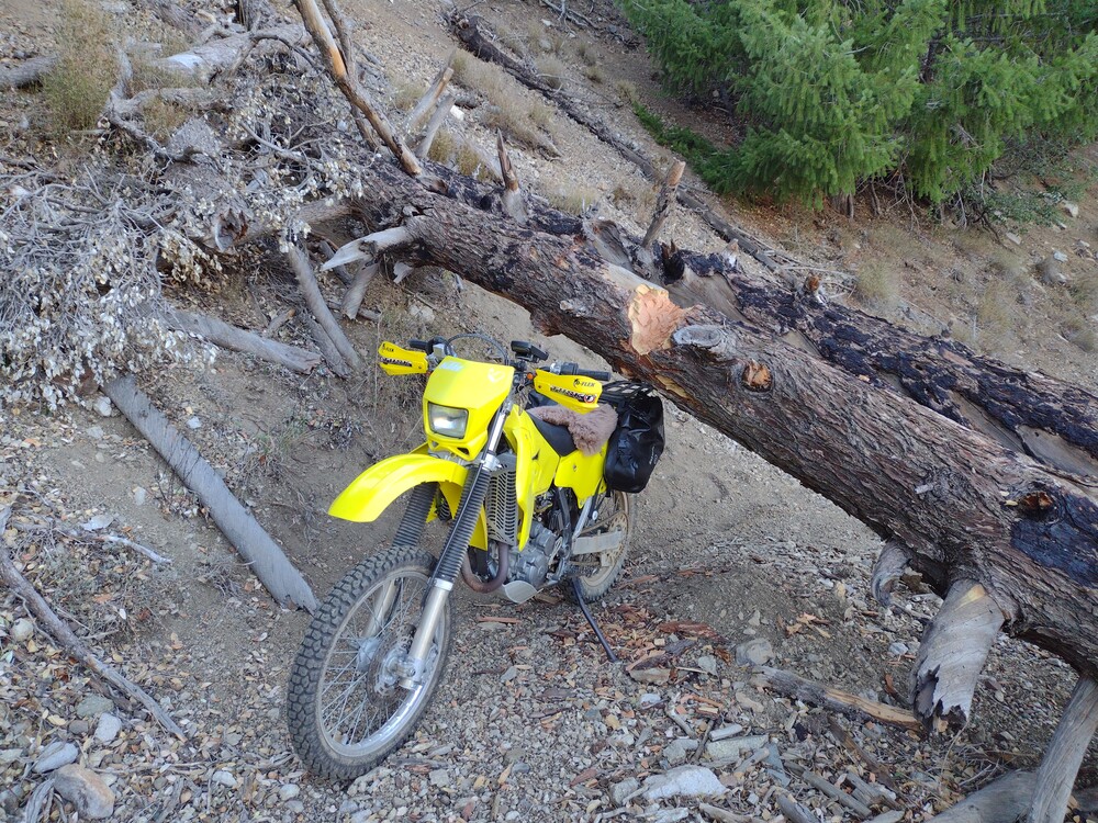
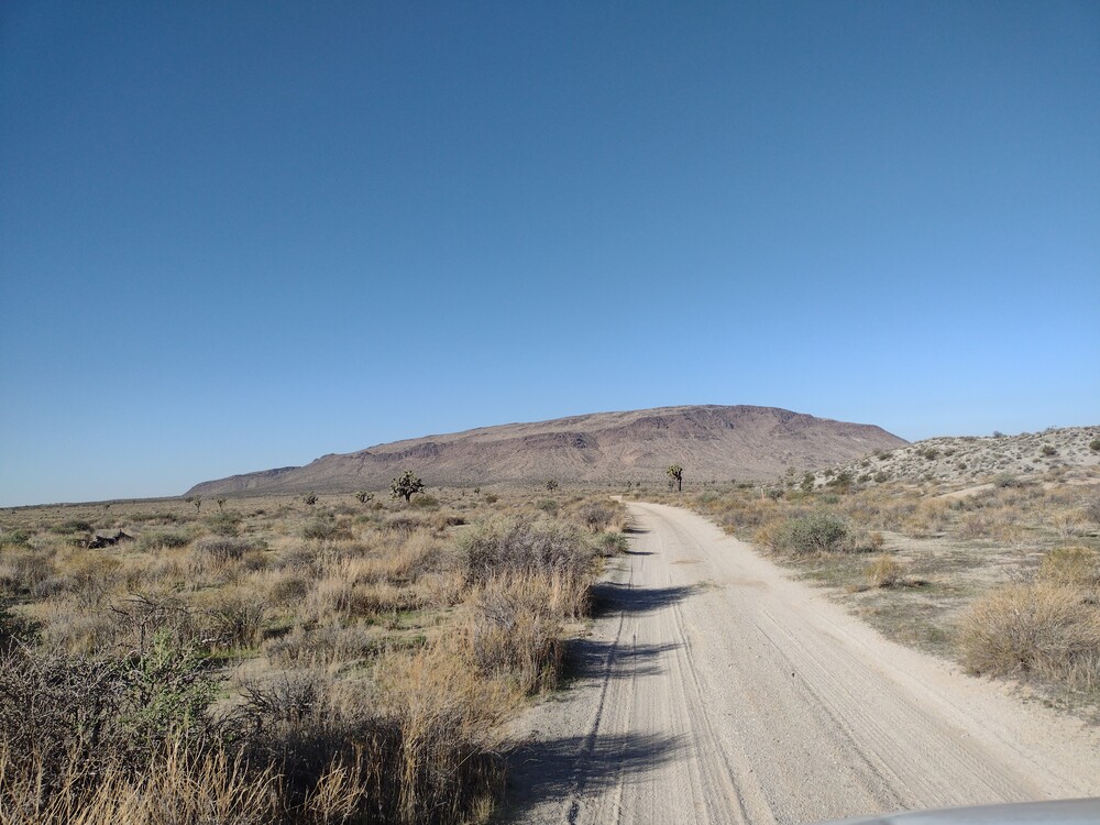
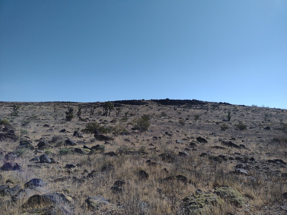
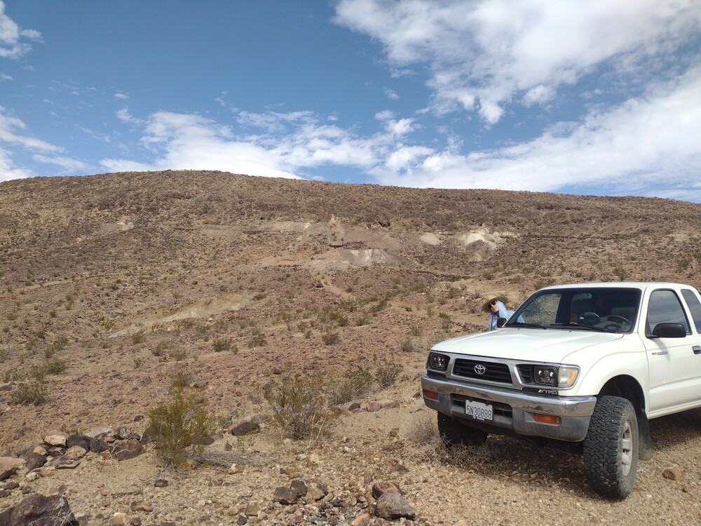
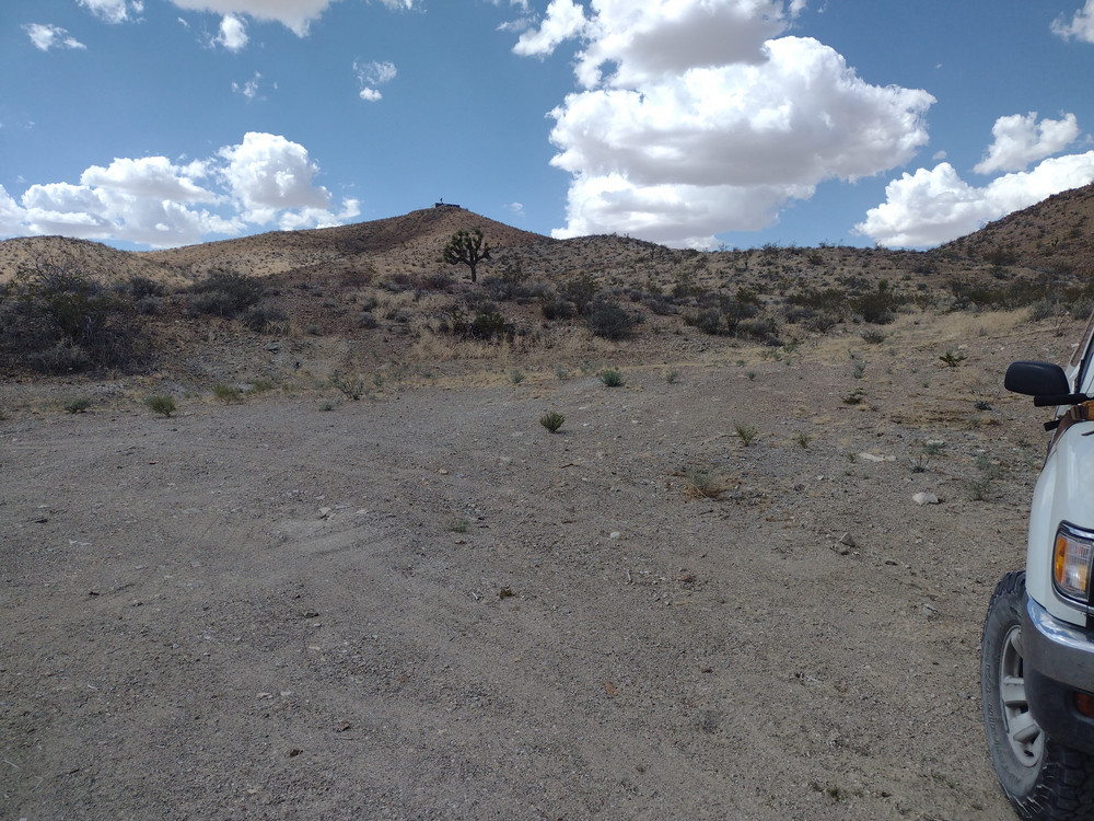
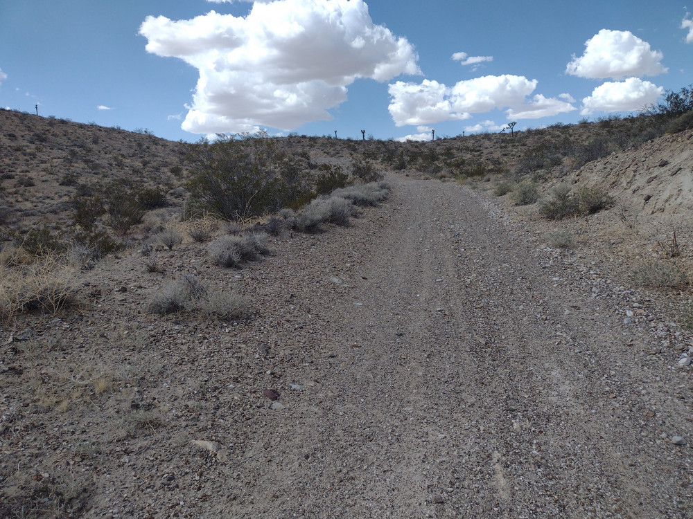
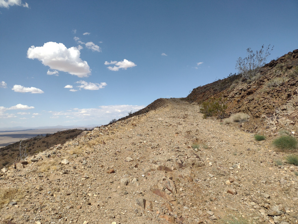
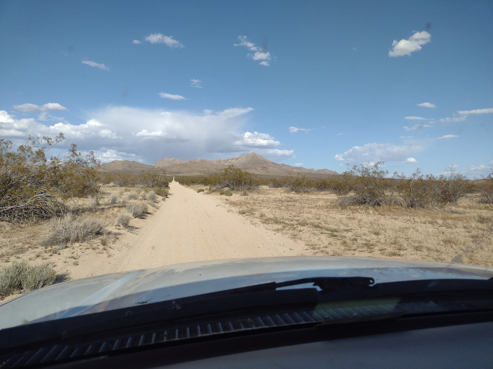
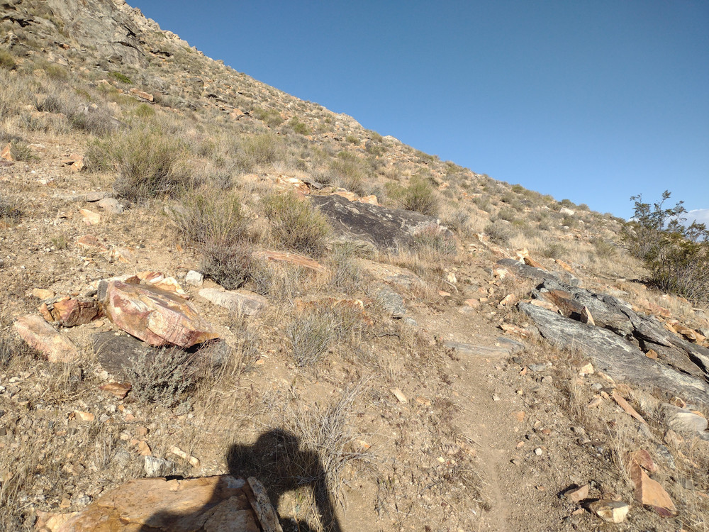
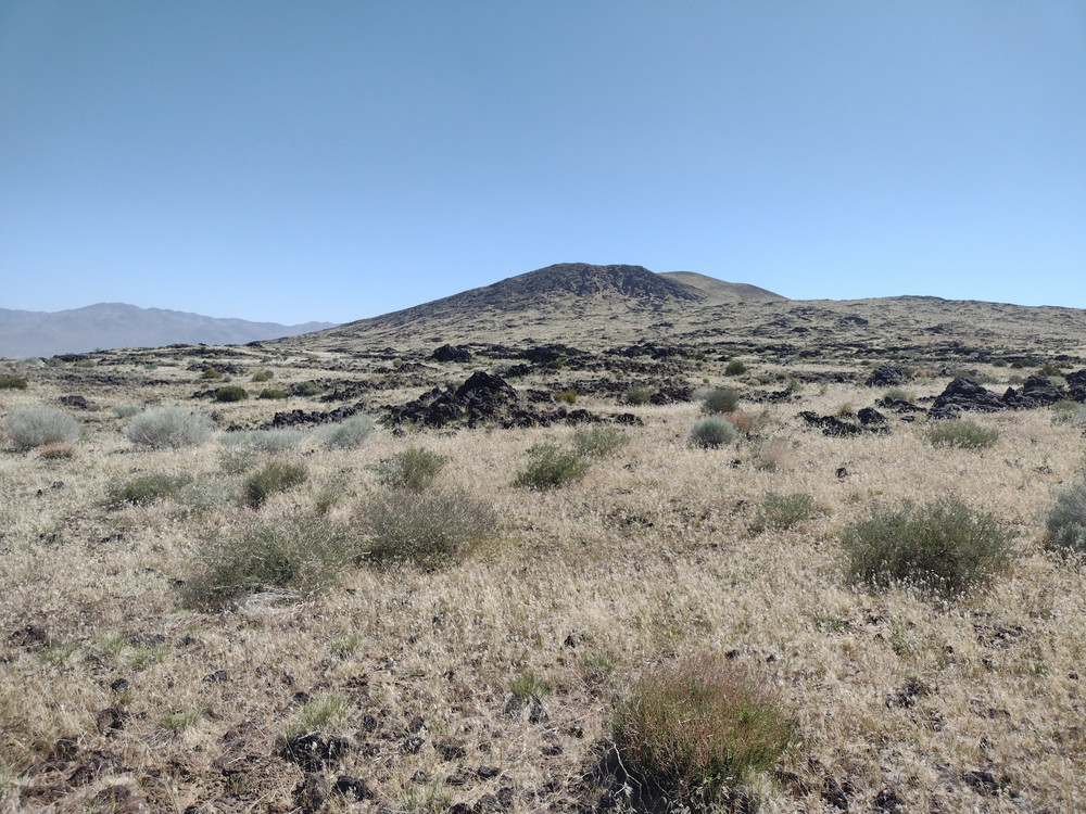
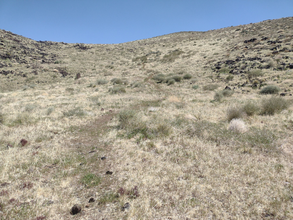
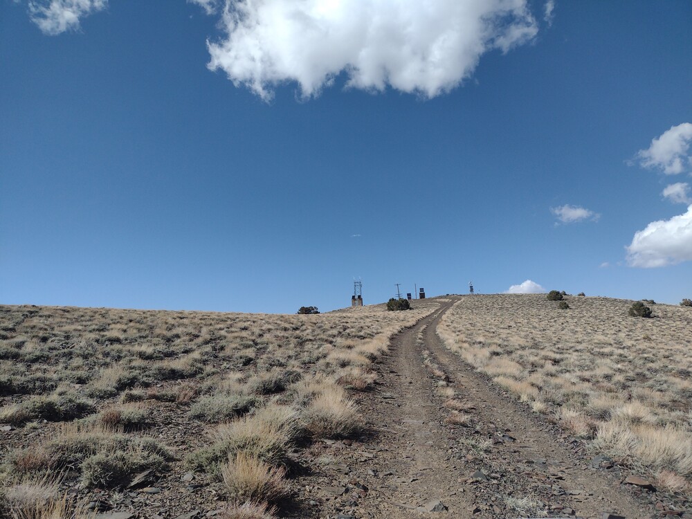
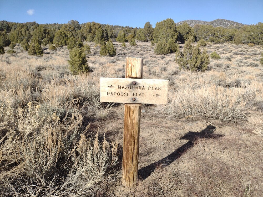
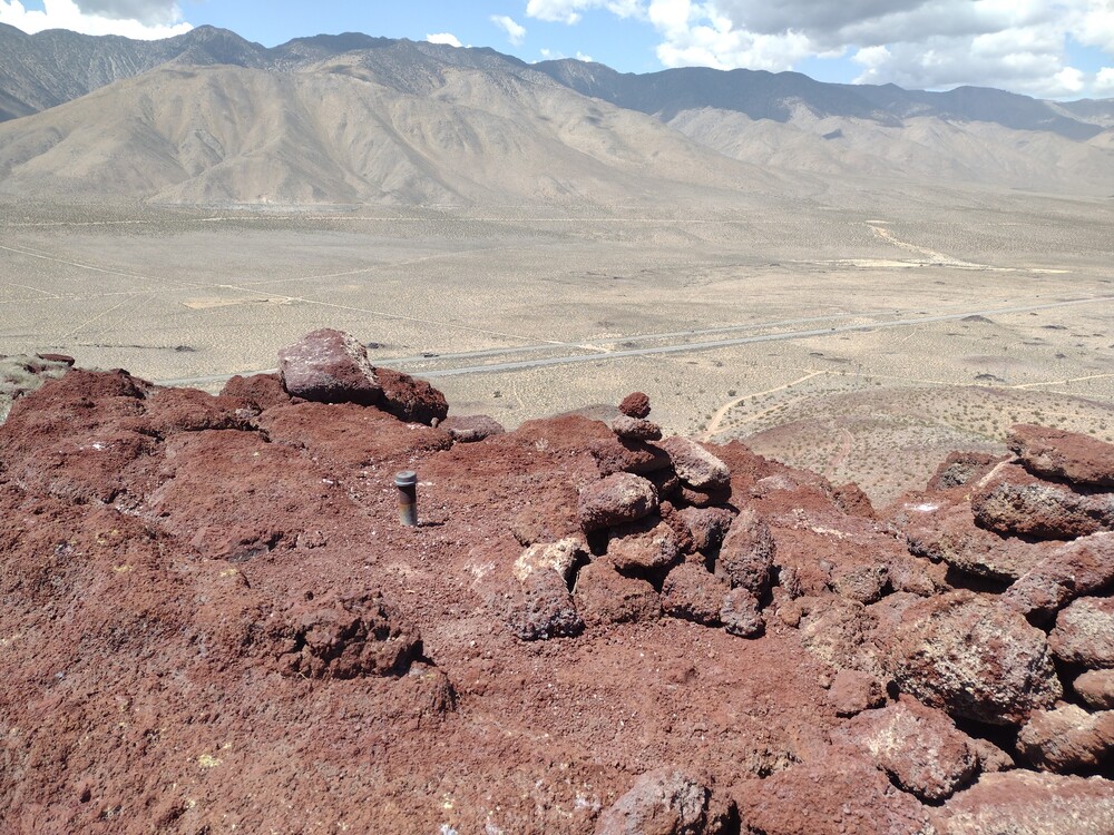
I bring this up because there were two trails I’ve never ridden a moto on before; Indian Canyon Road and Mendenhall Ridge Road. Both always seem to be closed. Indian Canyon was surprising because I didn’t expect the fauna to change so much between the start and end of the road. Mendenhall Ridge was surprising because after the open Forest Service gate, it starts turning into a single track trail; very overgrown. I suspect someone cut the gate lock and the road isn’t actually open at all.
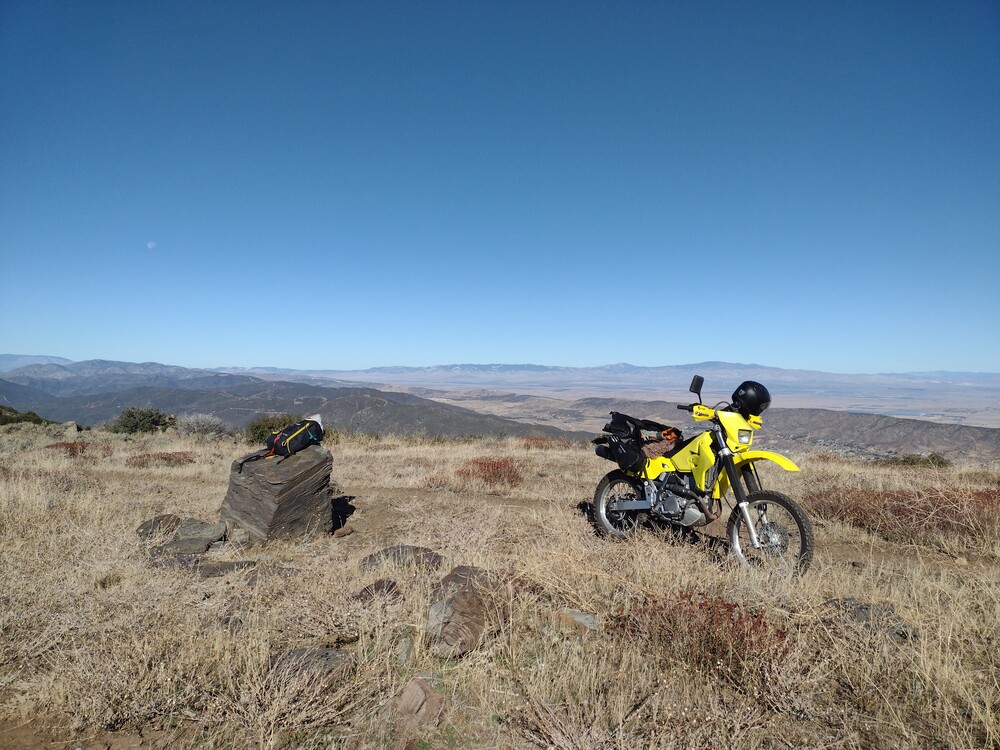
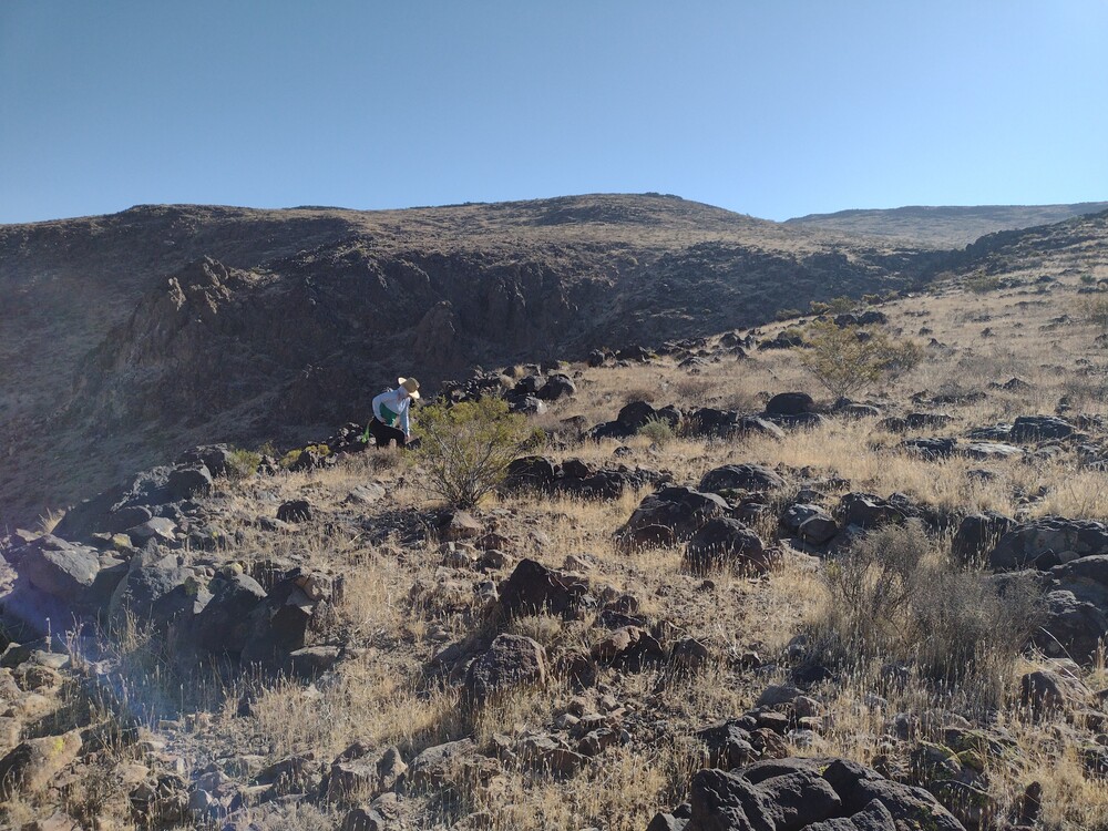
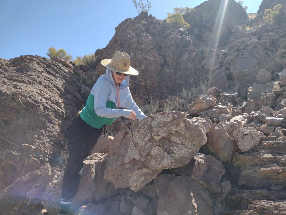
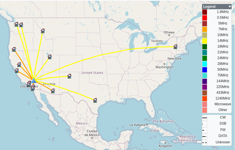
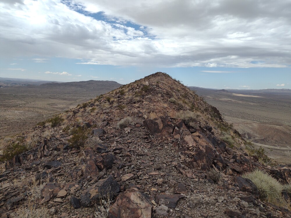
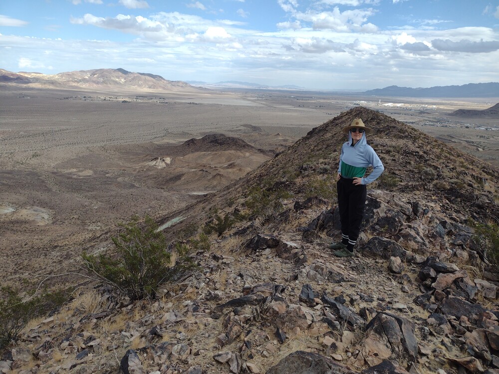
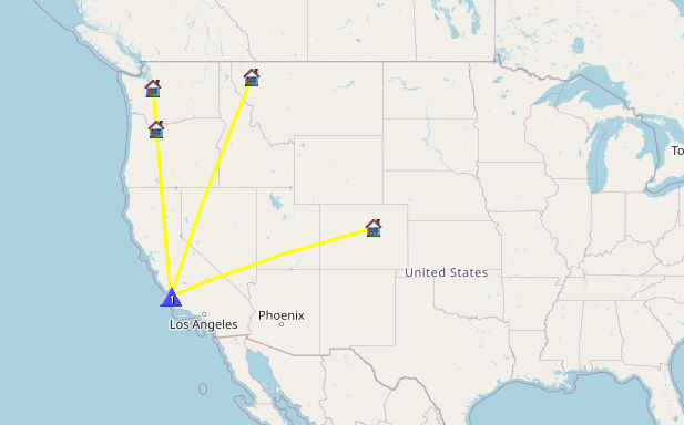
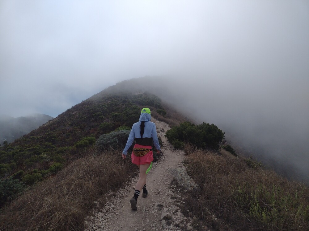
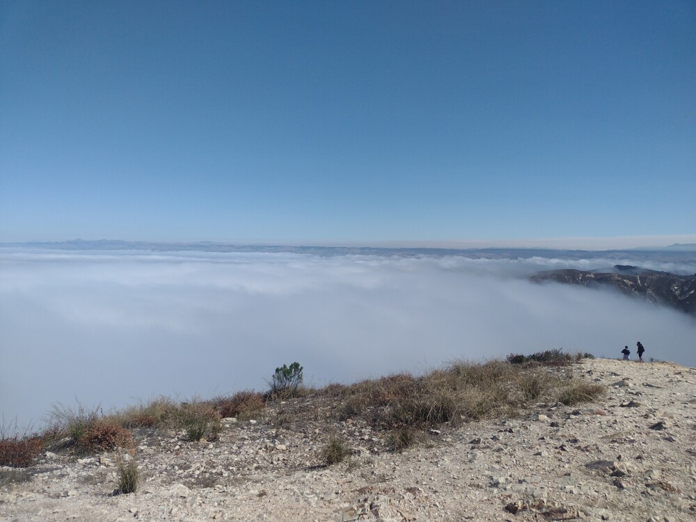
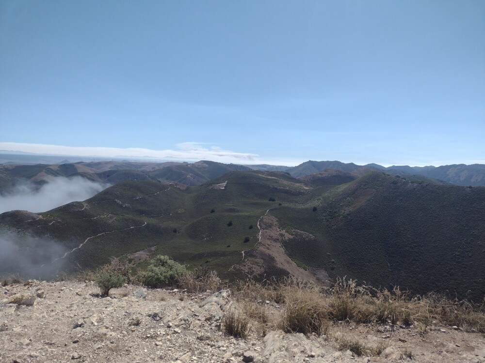
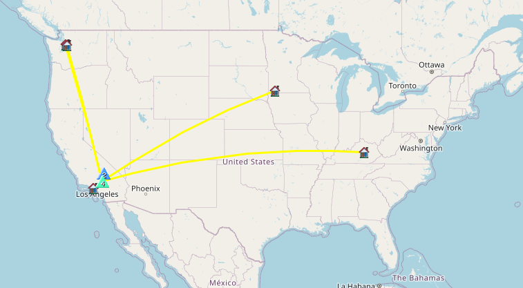
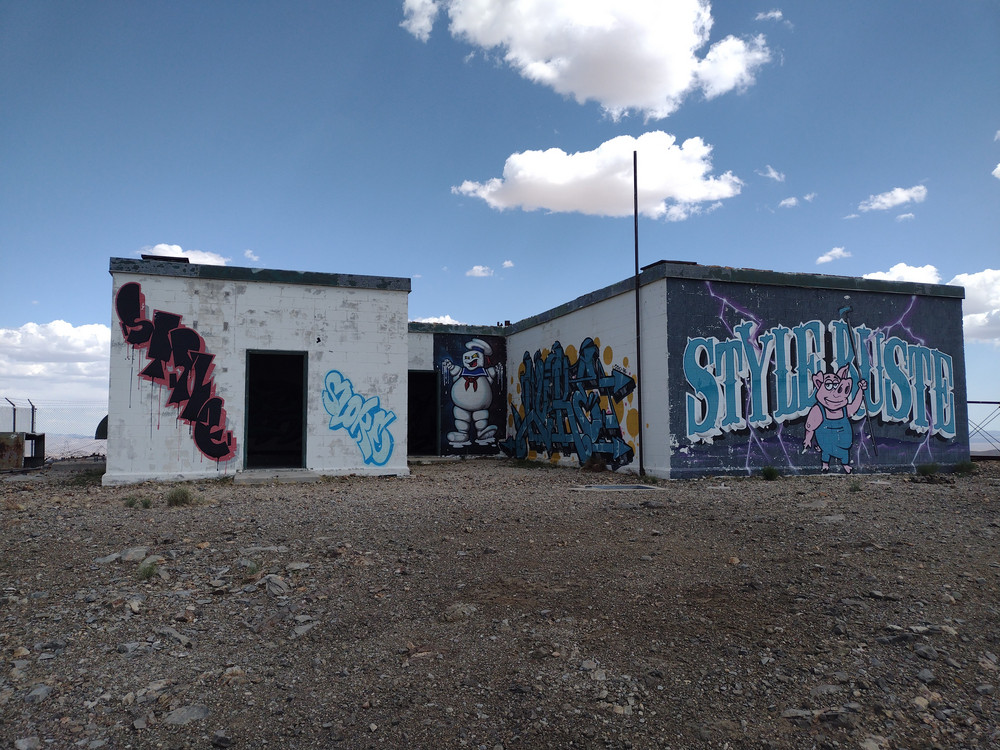
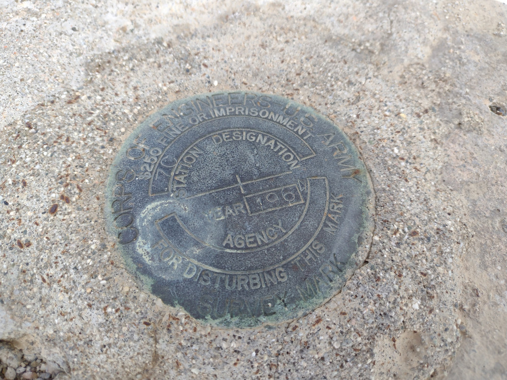
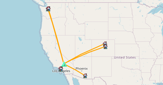
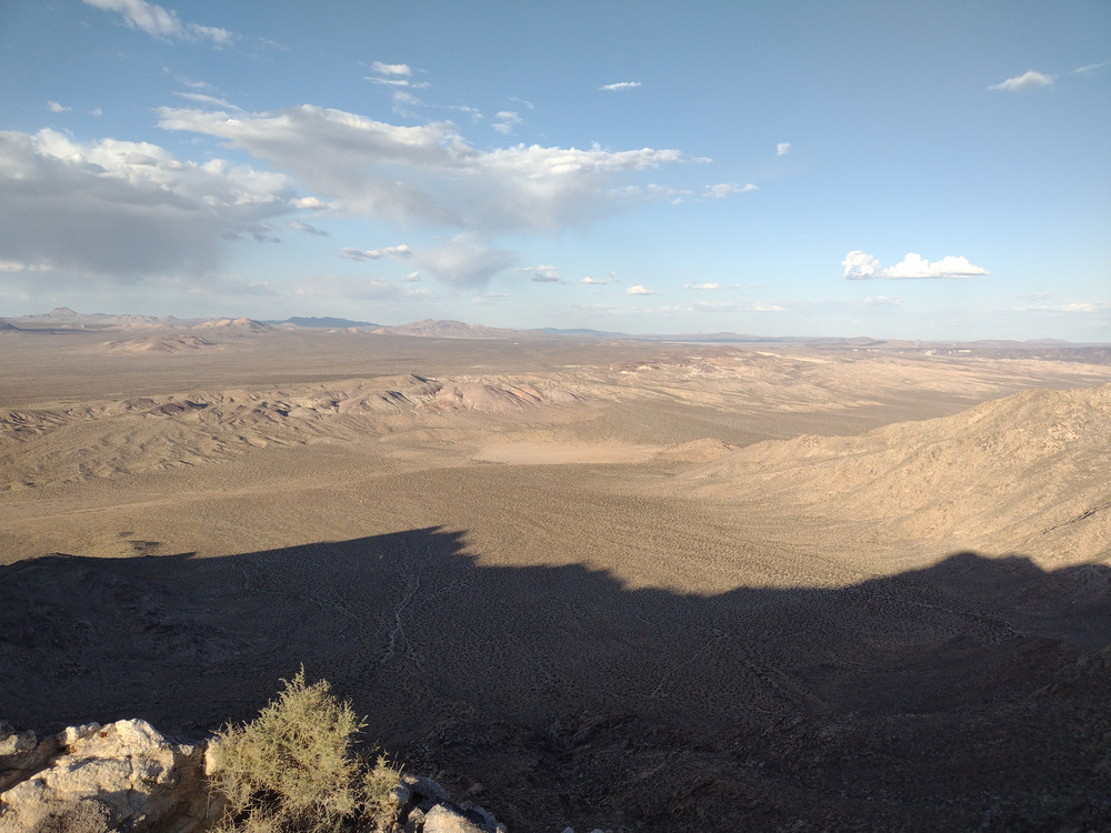
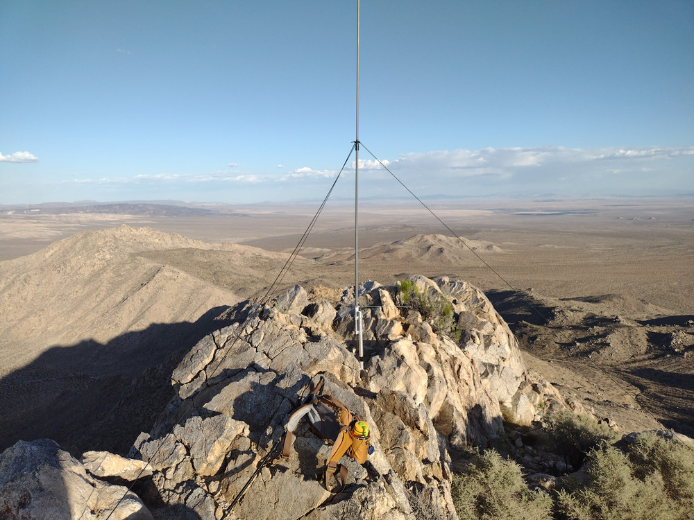
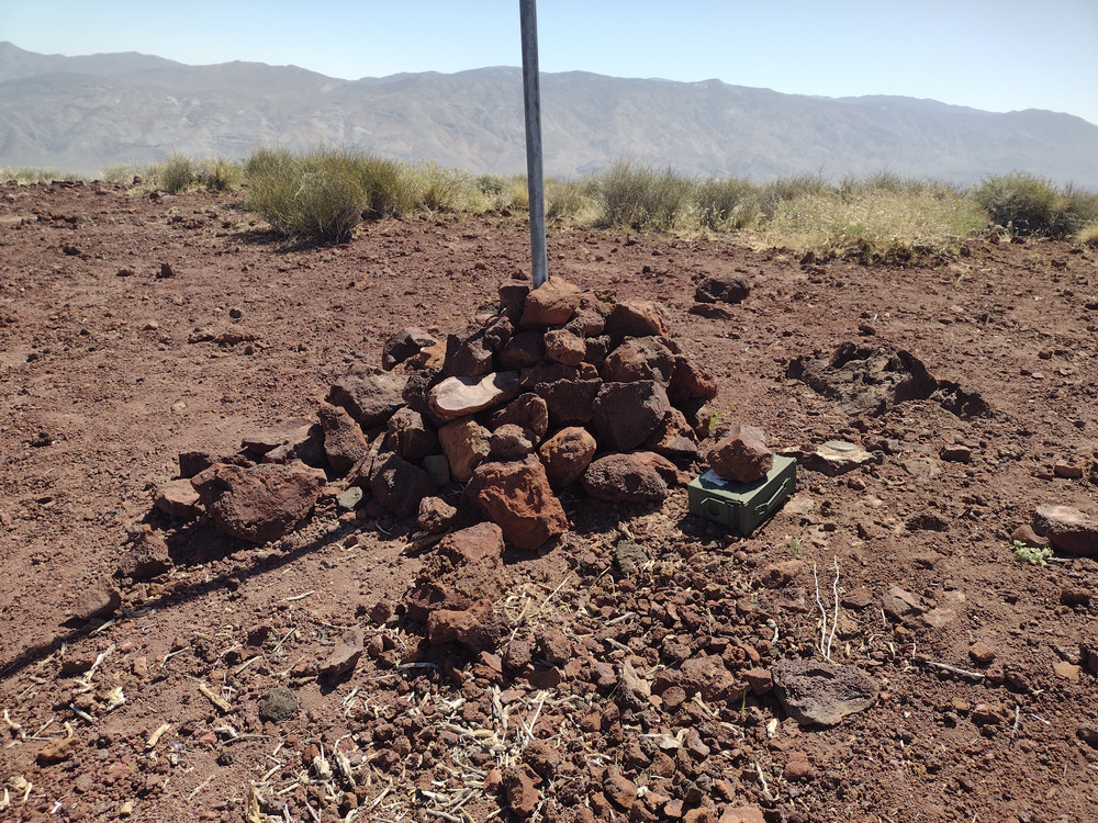
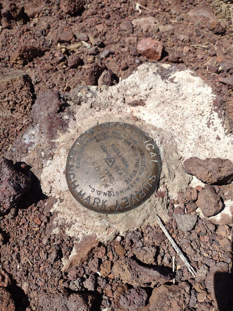
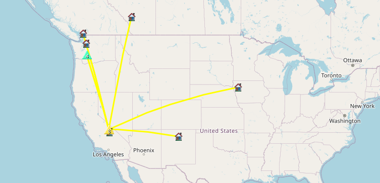
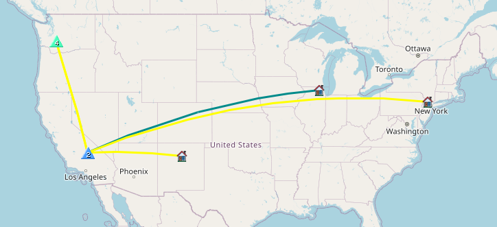
Summits activated on moto day. You can search this blog for detailed write-ups on these. The first two were ride ups, the last, Iron Mountain was a short out and back hike from a saddle.
https://sotl.as/summits/W6/CT-118
https://sotl.as/summits/W6/CT-116
https://sotl.as/summits/W6/CT-024