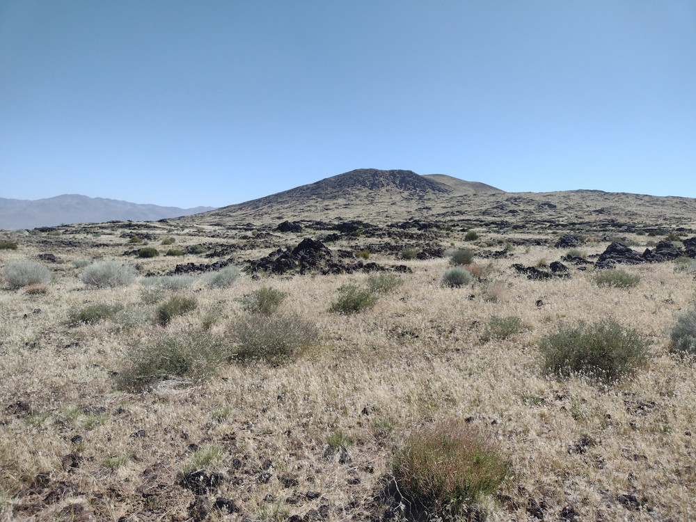
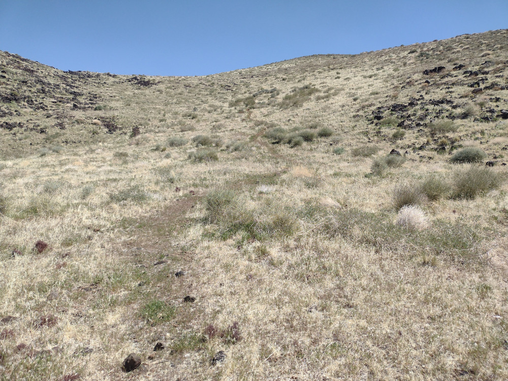
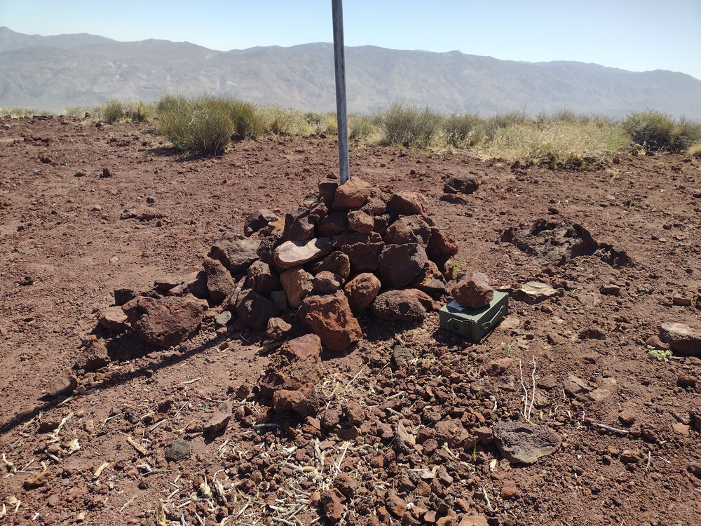
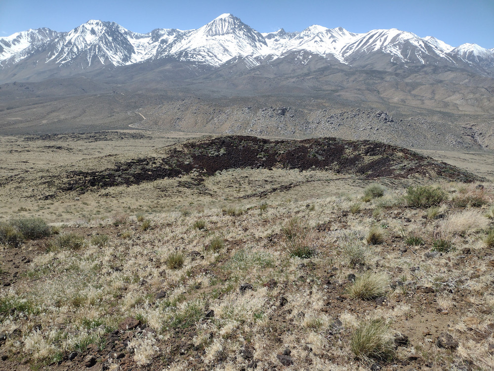
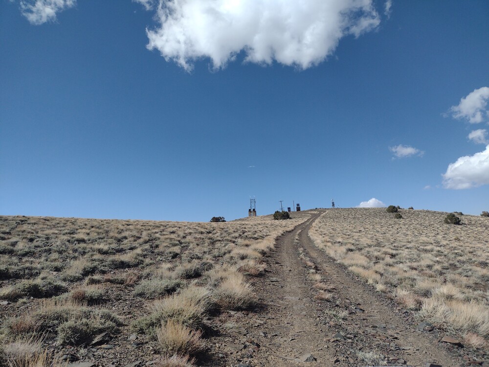
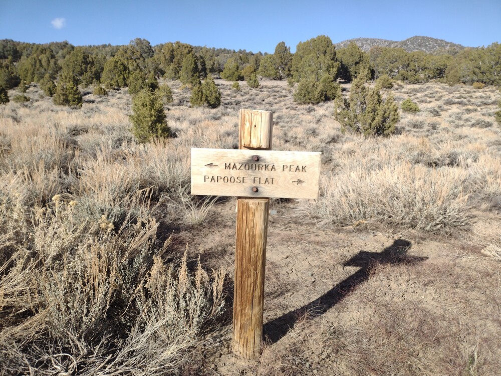
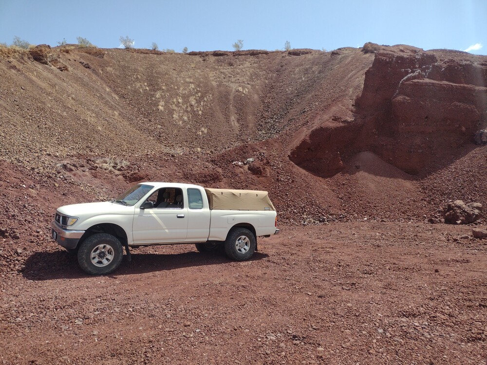
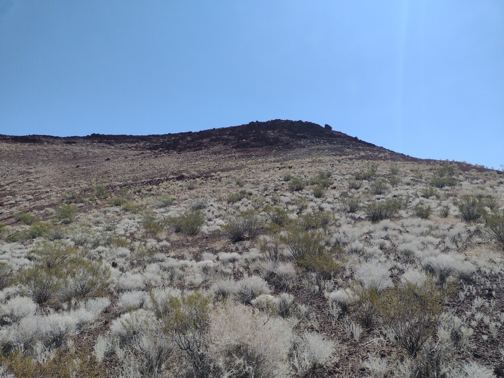
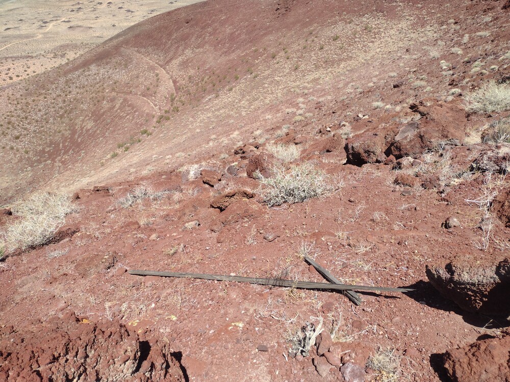
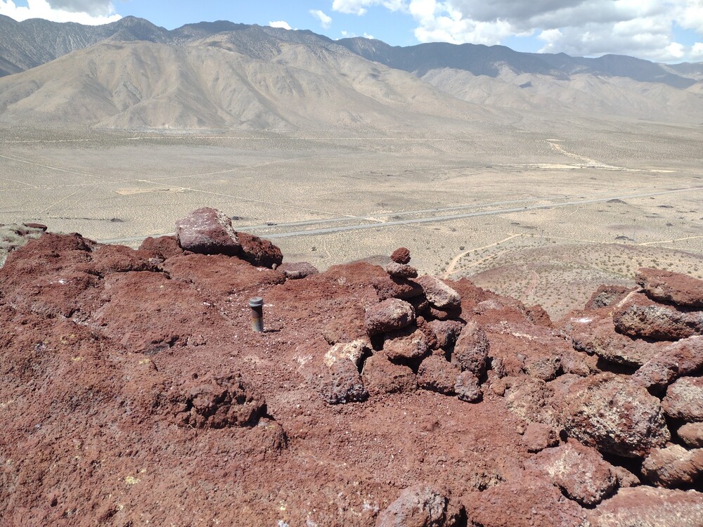
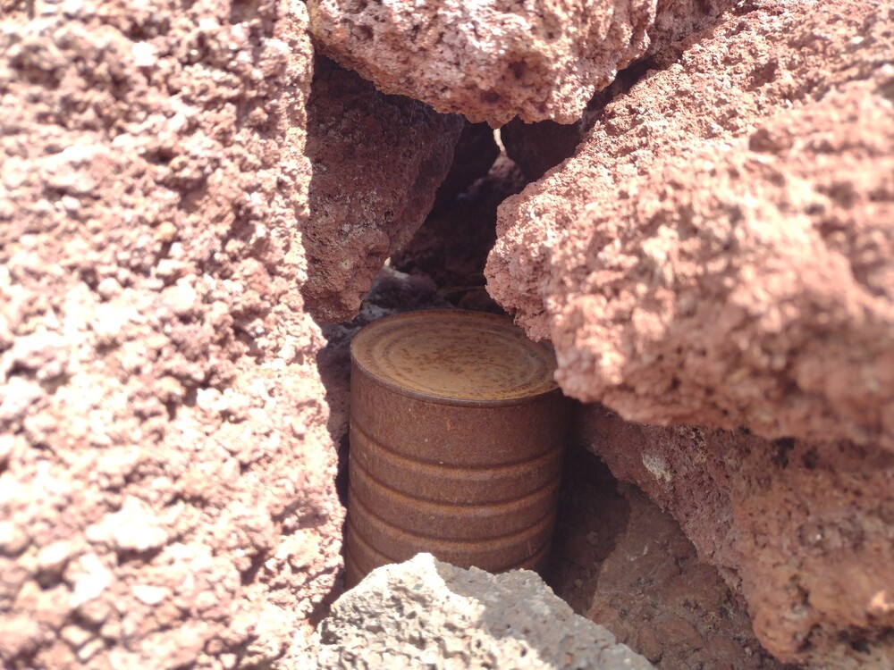
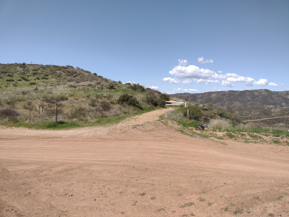
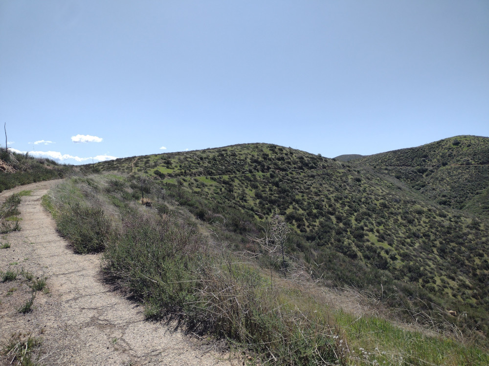
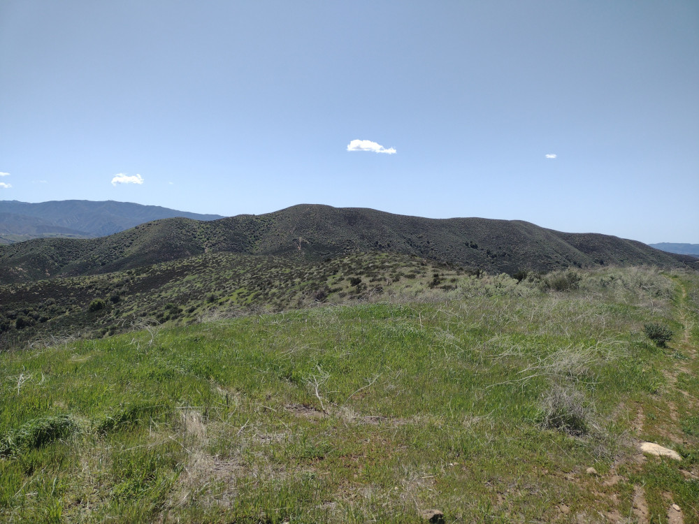
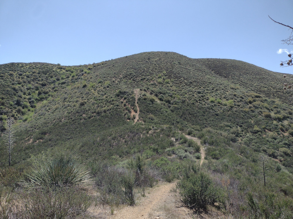
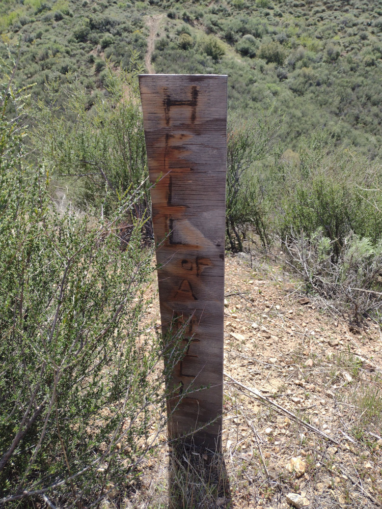
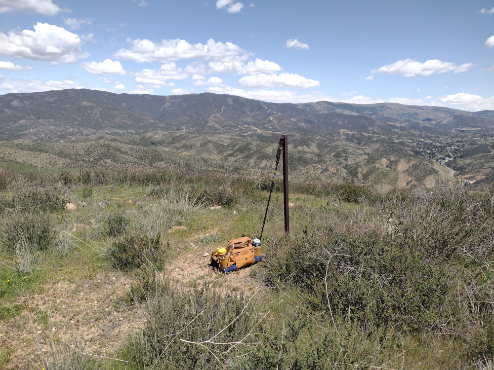
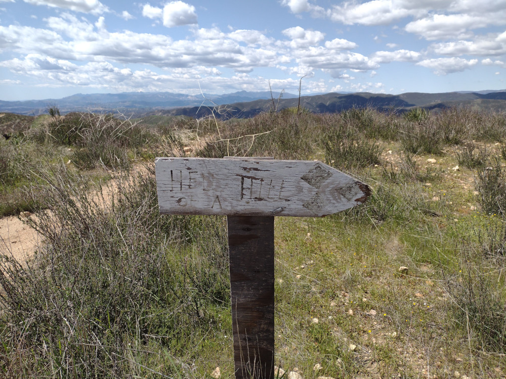
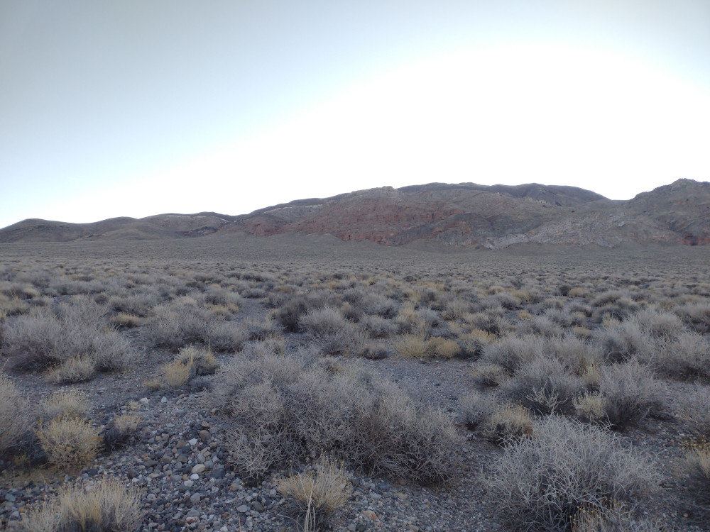
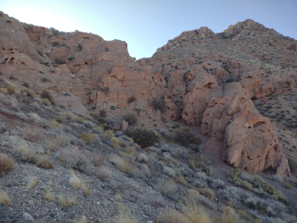
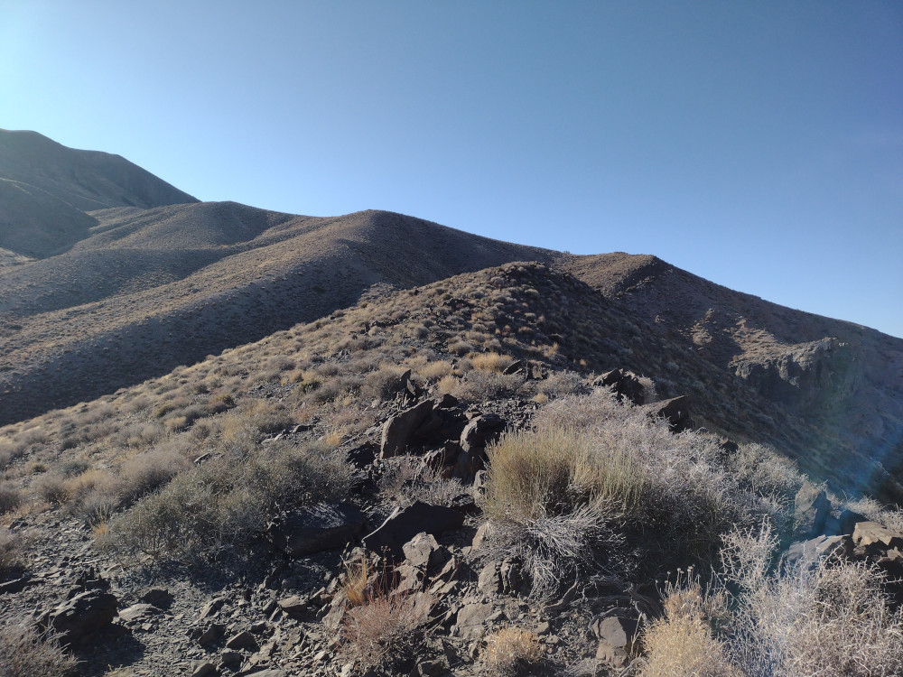
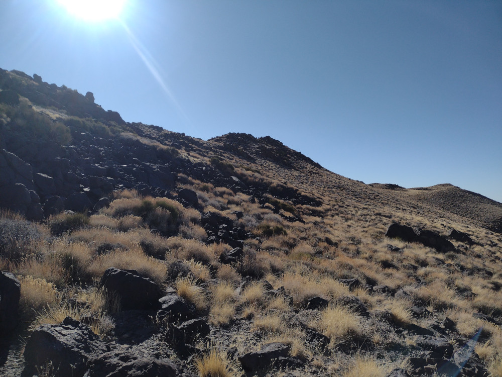
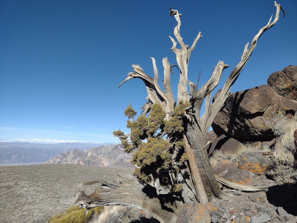
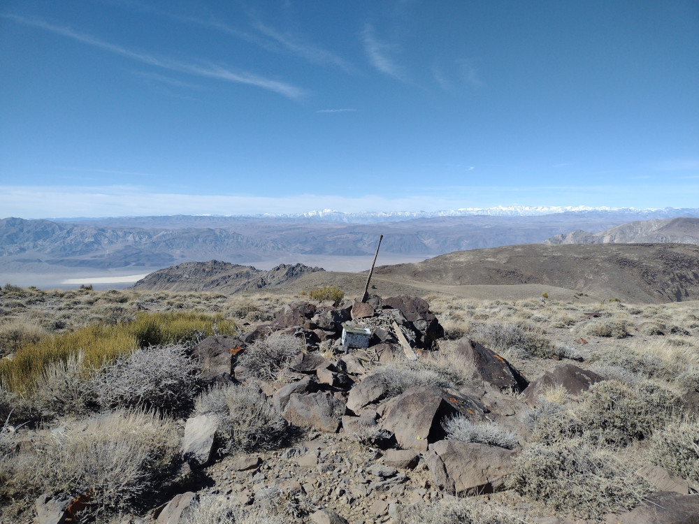
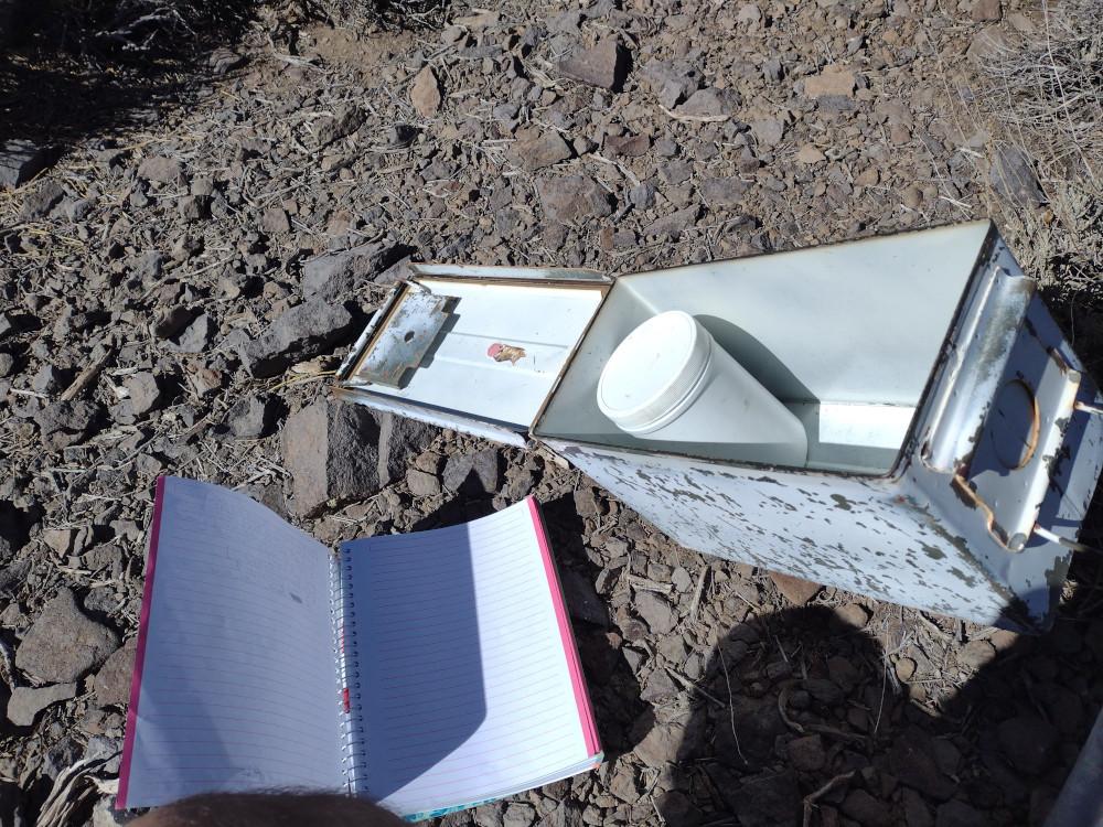
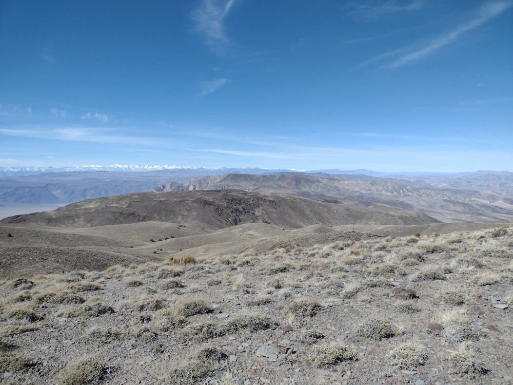
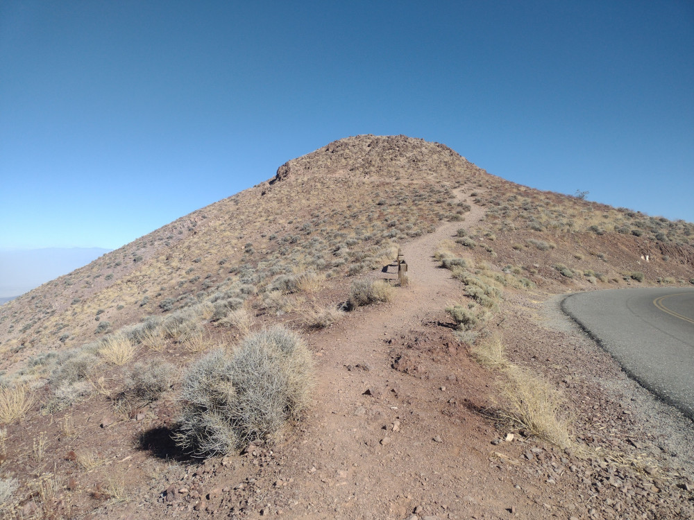
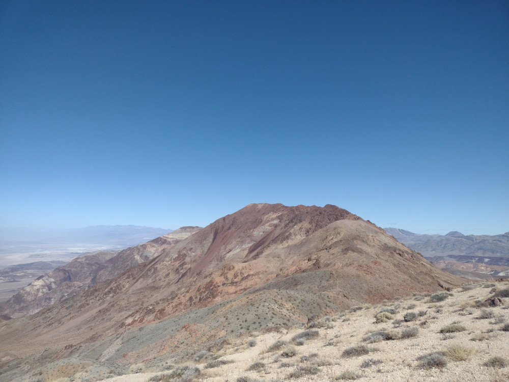
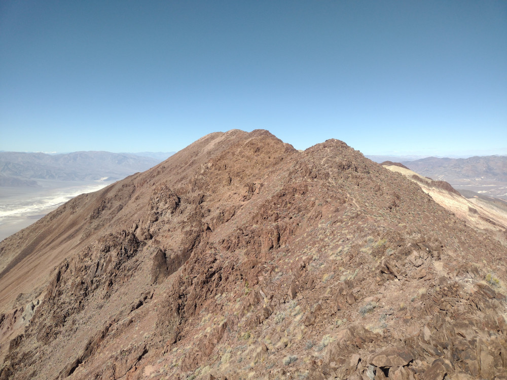
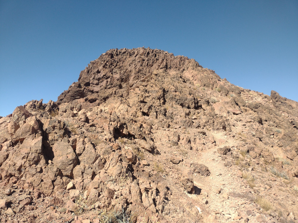
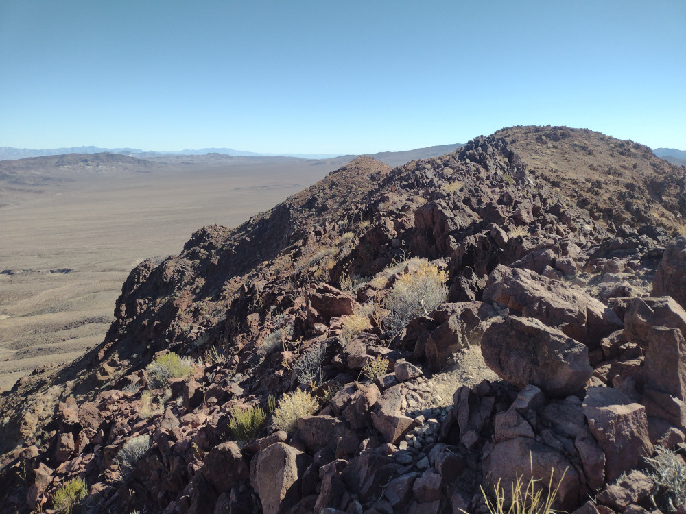
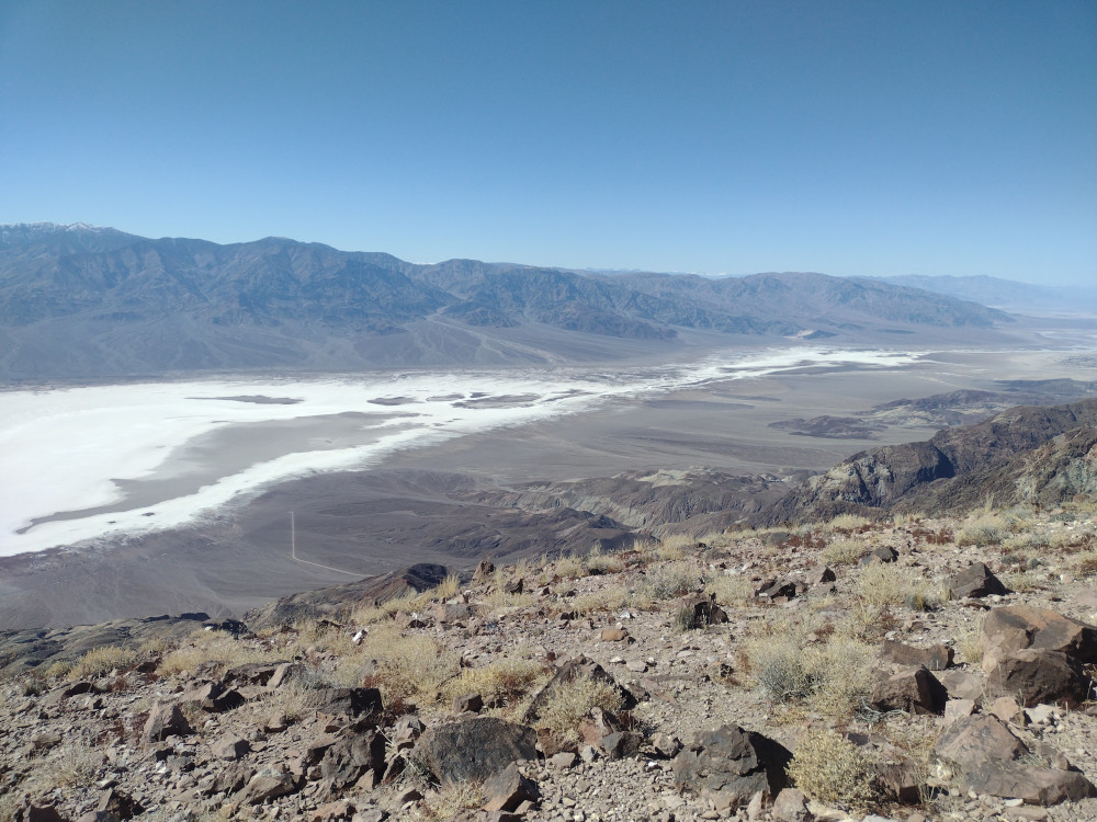
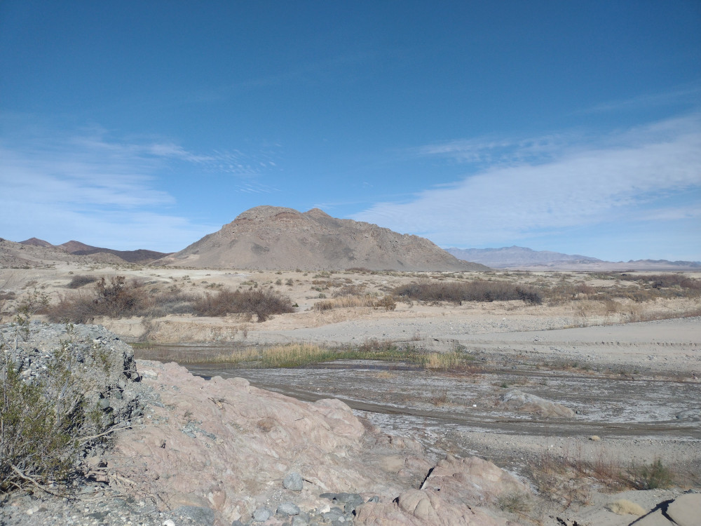
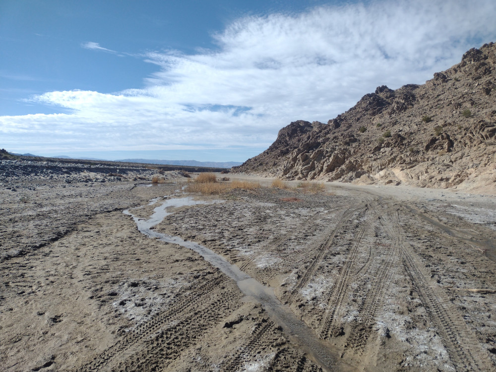
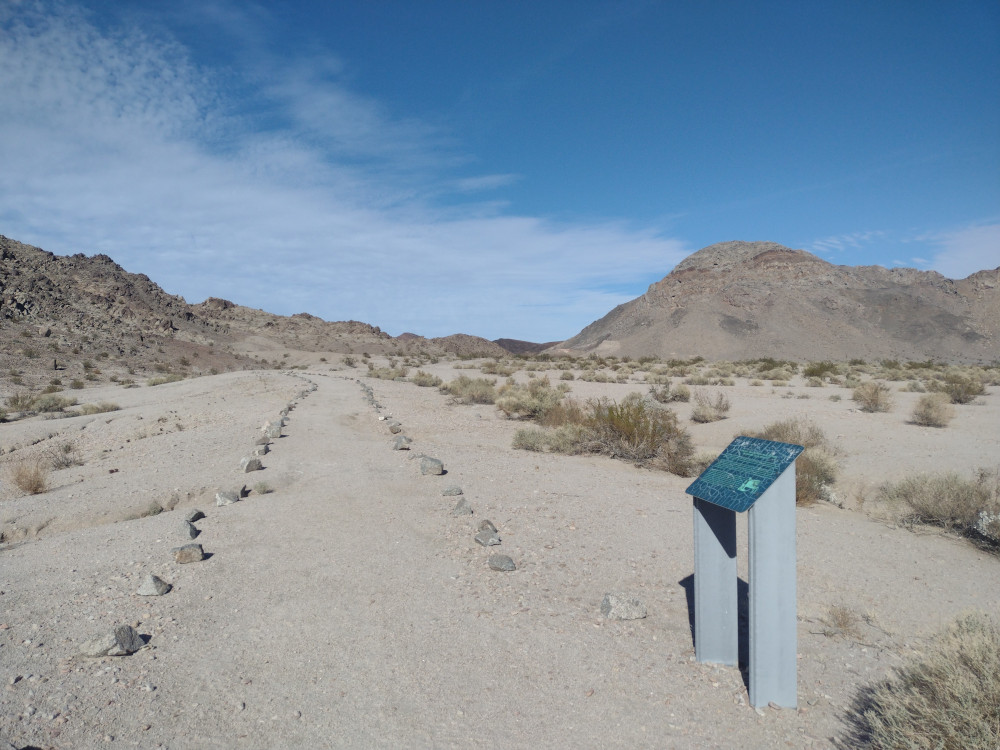
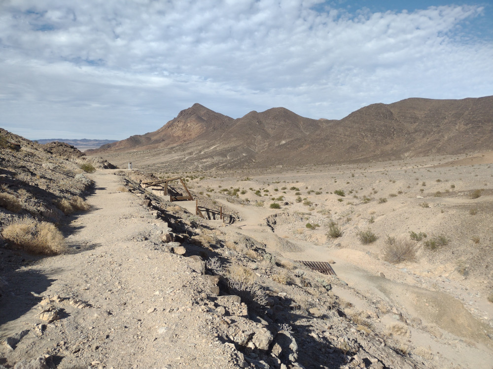
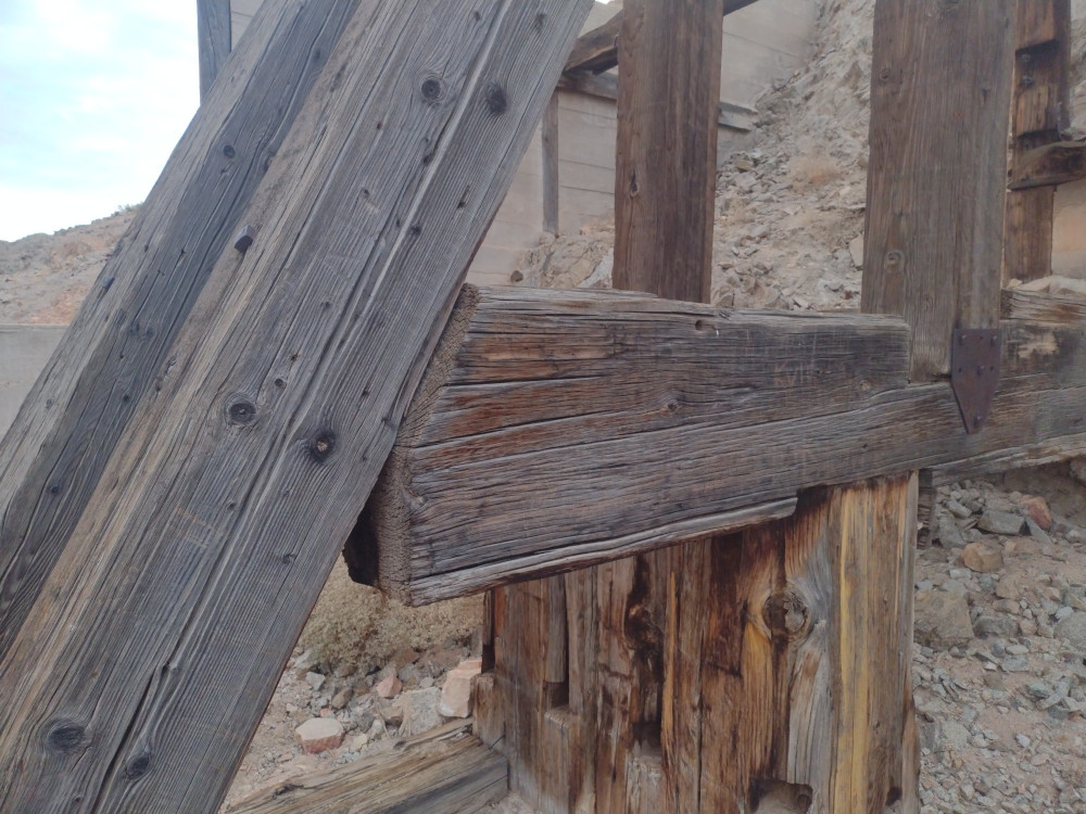
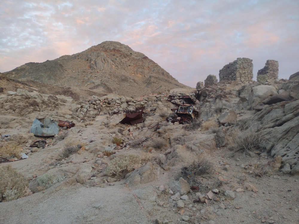
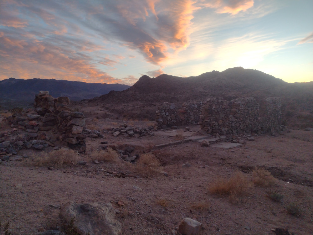
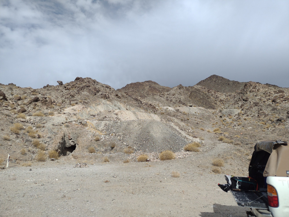
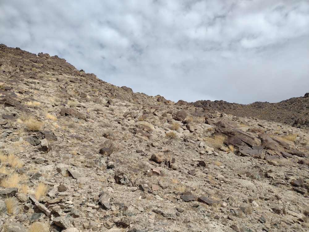
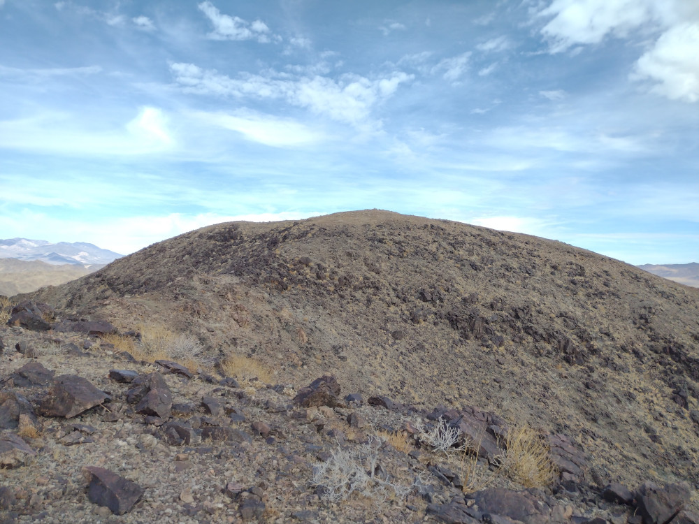
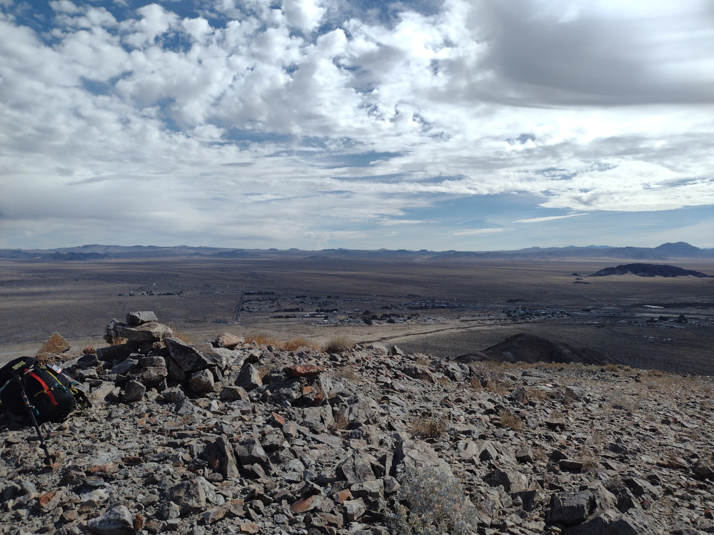
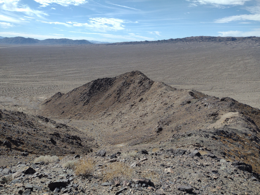
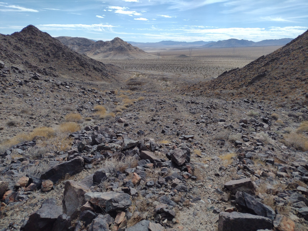
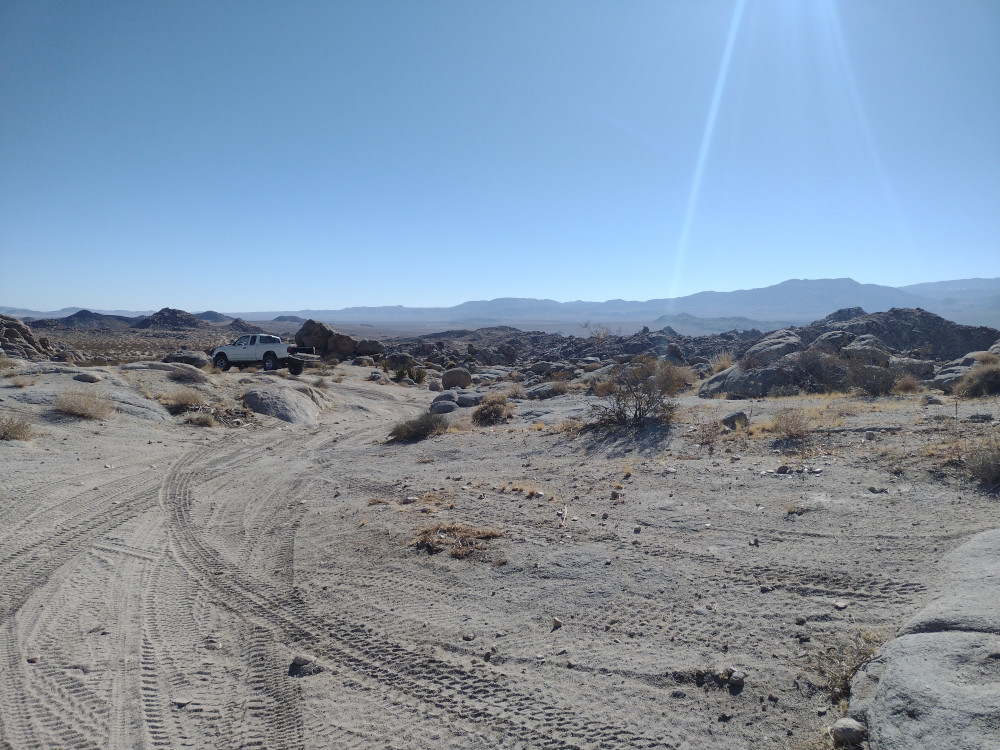
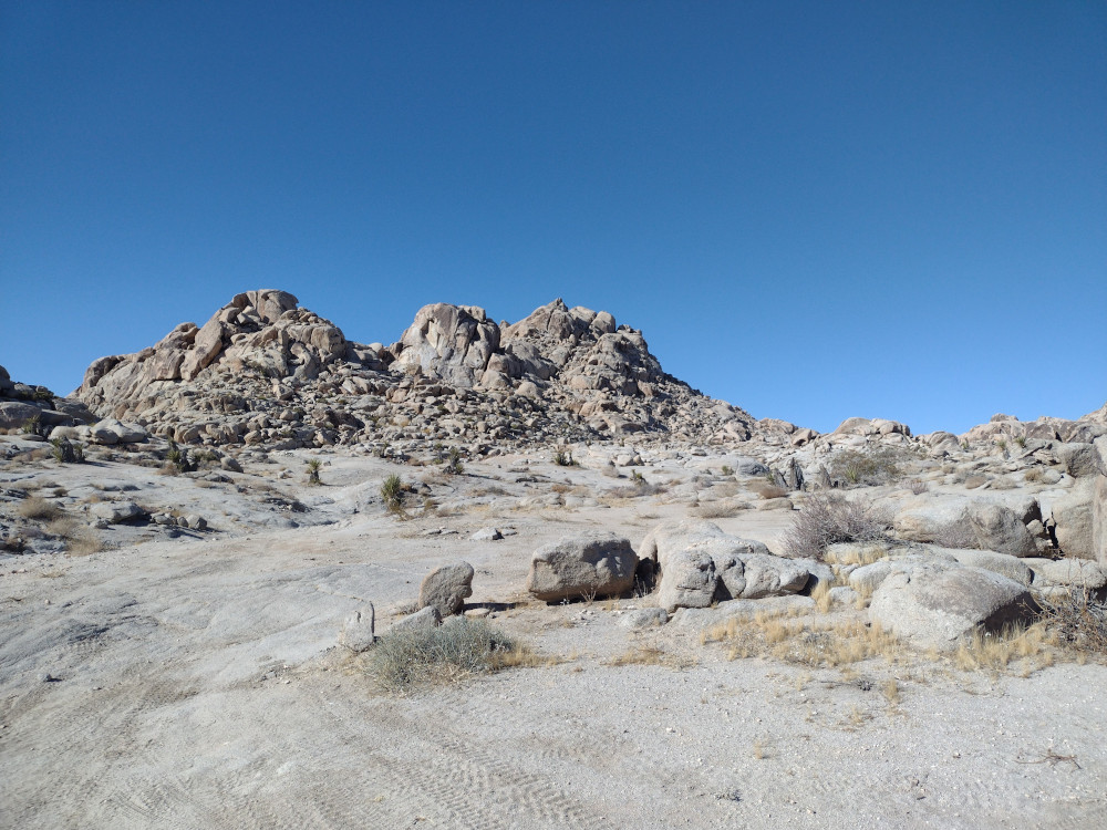
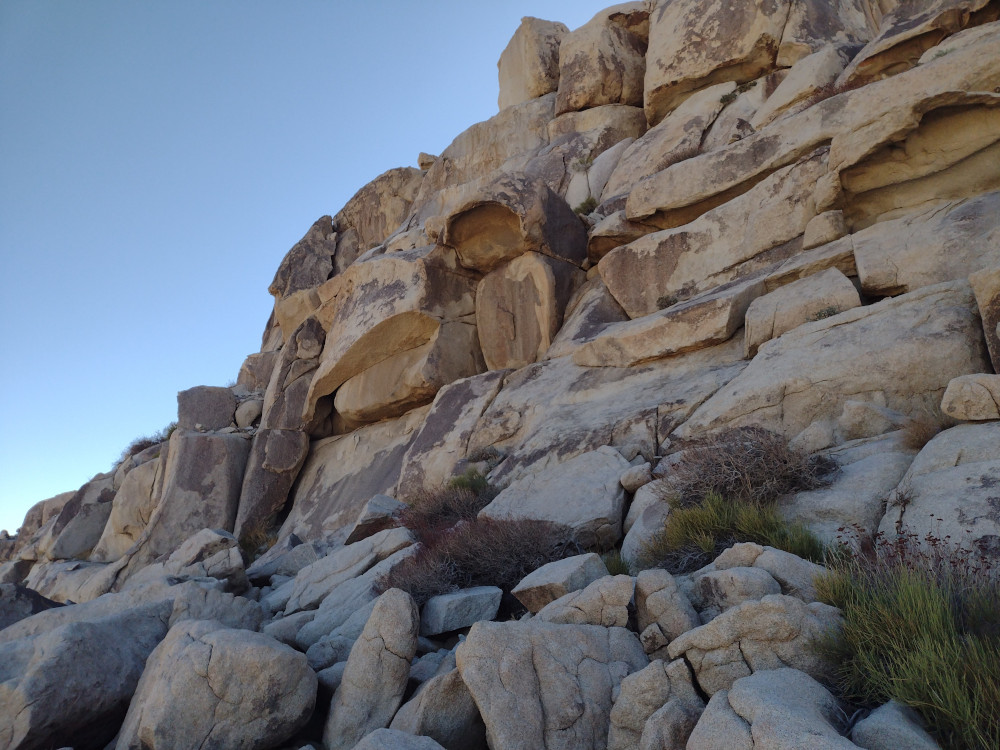
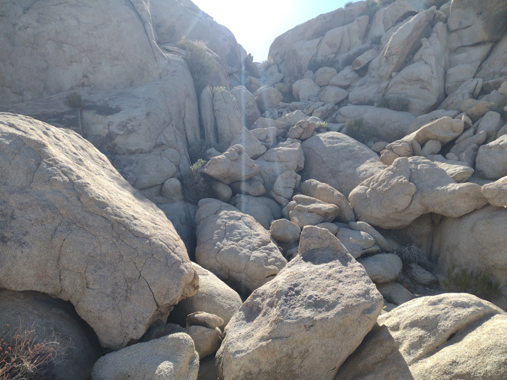
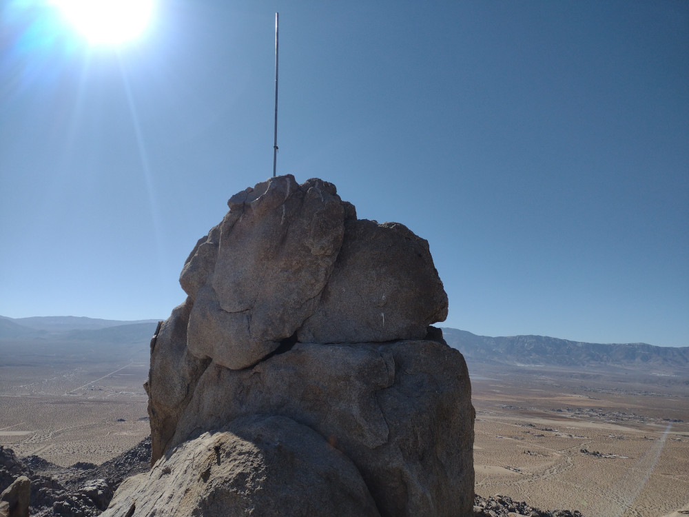
Crater Mountain is just to the west of Big Pine, CA. It’s easily accessible by a dirt road on the west side of the summit. I drove up to the high point on the road, parked on the side, and cross country hiked across the lava fields. There were grazing cattle everywhere. About half way up I picked up a use trail to the summit. At the top is a register and a pole to attach a mast to. On the day of my assent, the wind was brutal. My mast snapped in half, I couldn’t sign the register without the whole thing blowing away. You could do that thing where you lean far into the wind but not fall over. I found a a bit of shelter from the wind on the lee side of the summit. Used a KH1 with the whip antenna to make QSOs on 20M, and 17M, then headed down. The route back was close to my ascent, zing-zagging around the cows. Looking at a map later, I found that use trail I picked up leads to some lava tubes. Next time I’m out there I need to check those out.
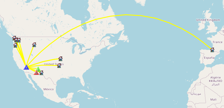
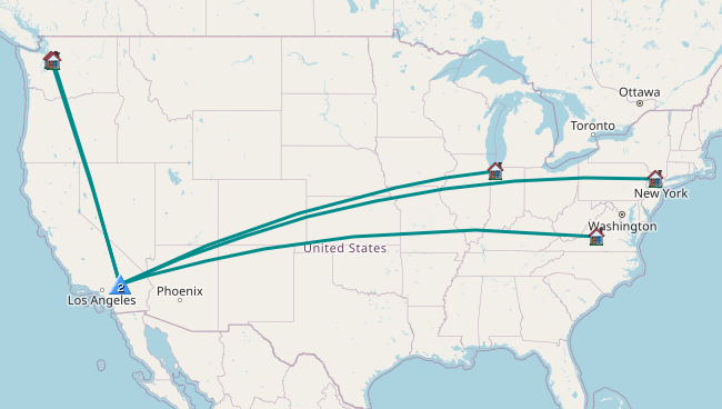
https://sotl.as/summits/W6/IN-042
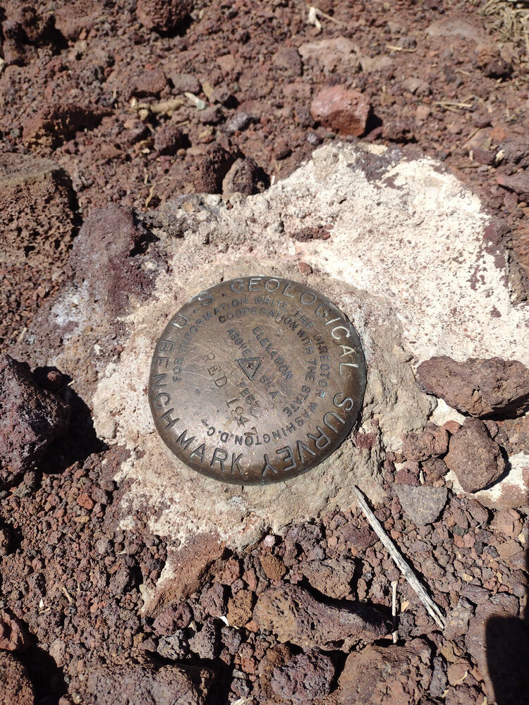
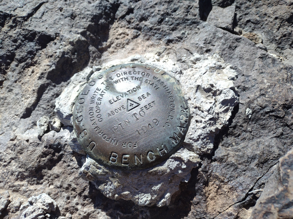
Max elevation: 6106 ft
Total climbing: 757 ft
Date:18/04/2025 | Summit:W6/IN-042 (Crater Mountain)
| Time | Callsign | Band | Mode | Notes |
|---|---|---|---|---|
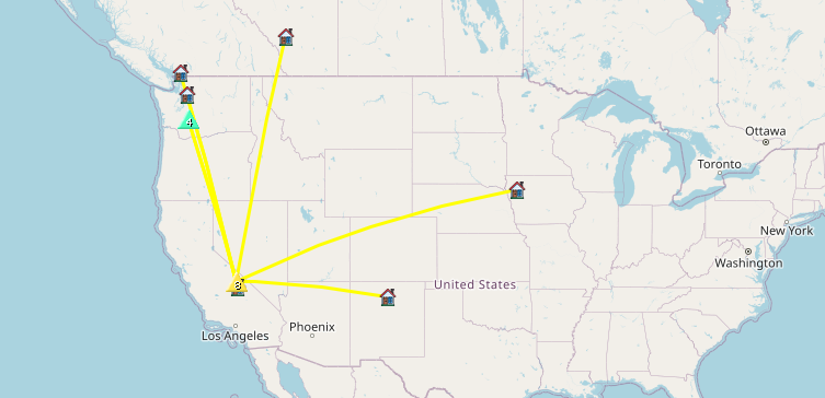
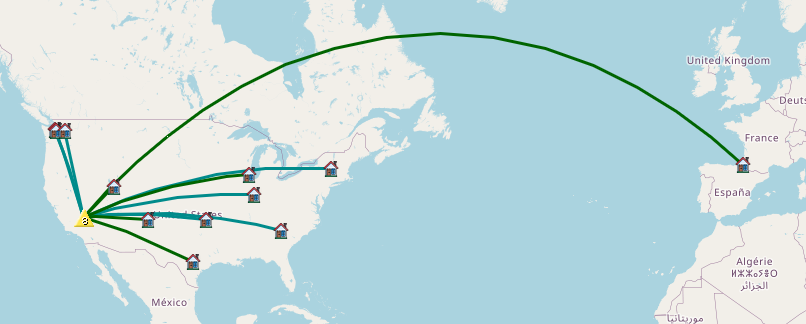
| 18:51 | AA7OY | 14MHz | CW | S2S W5N/AP-029 S57N R56N |
| 18:58 | WU7H | 14MHz | CW | S58N R42N |
| 19:00 | N1CLC | 14MHz | CW | S2S W5N/AP-029 S58N R57N |
| 19:01 | WW7D | 14MHz | CW | S58N R41N |
| 19:12 | AC7P | 18MHz | CW | S56N R53N |
| 19:13 | KF9D | 18MHz | CW | S53N R53N |
| 19:14 | WB8BHN | 18MHz | CW | S44N R33N |