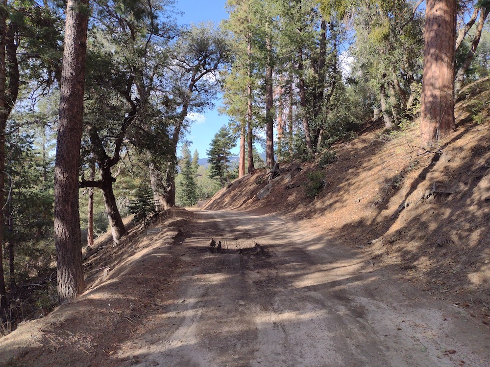
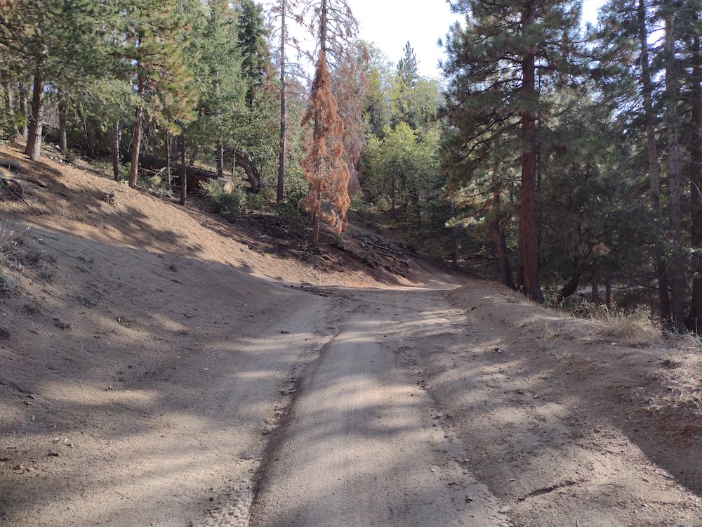
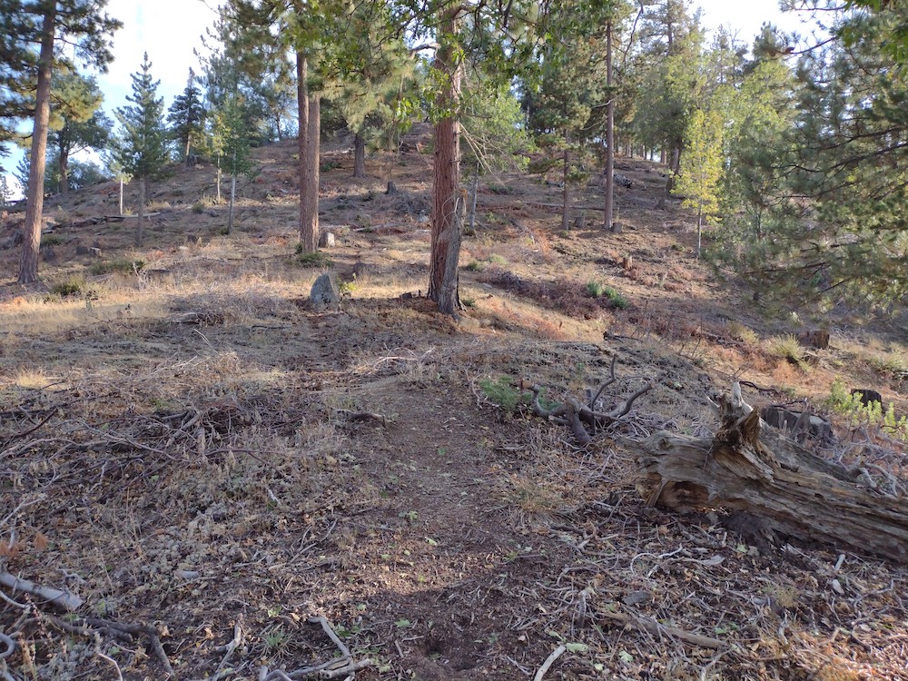
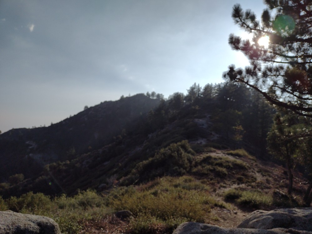
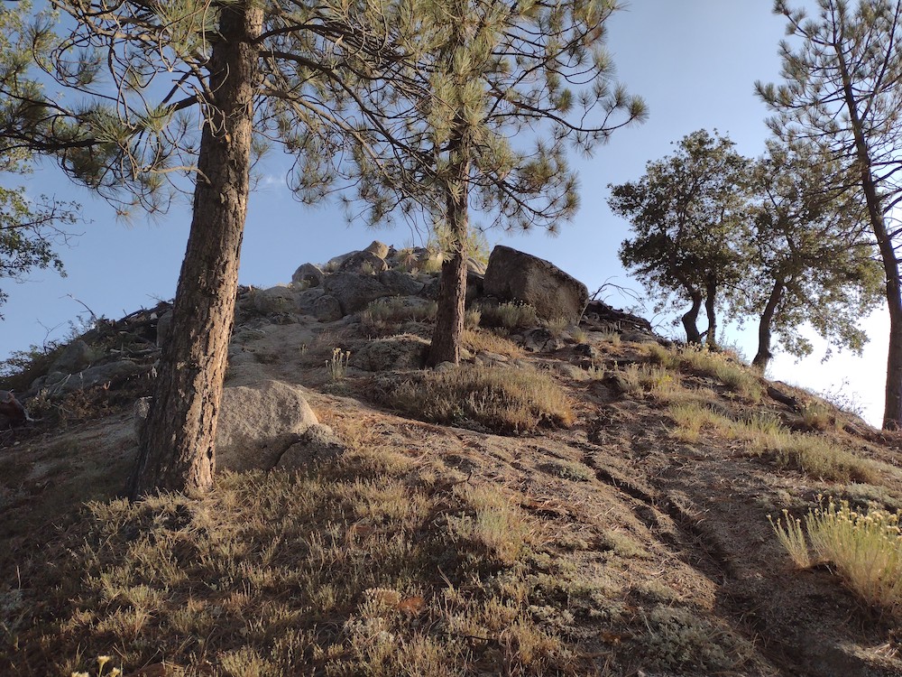
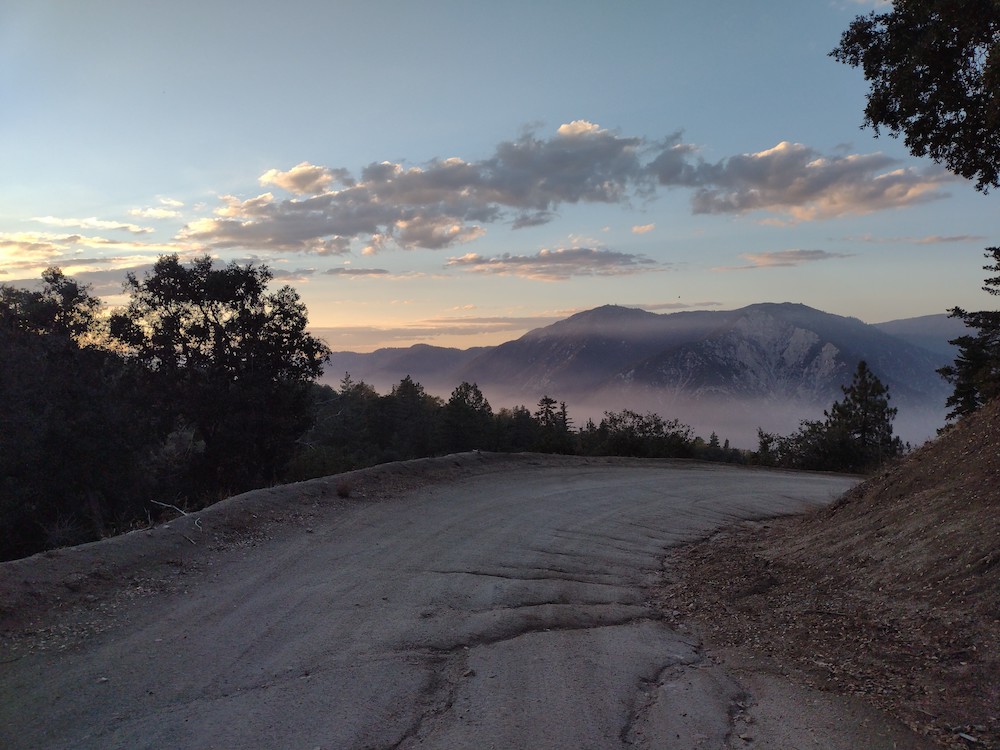
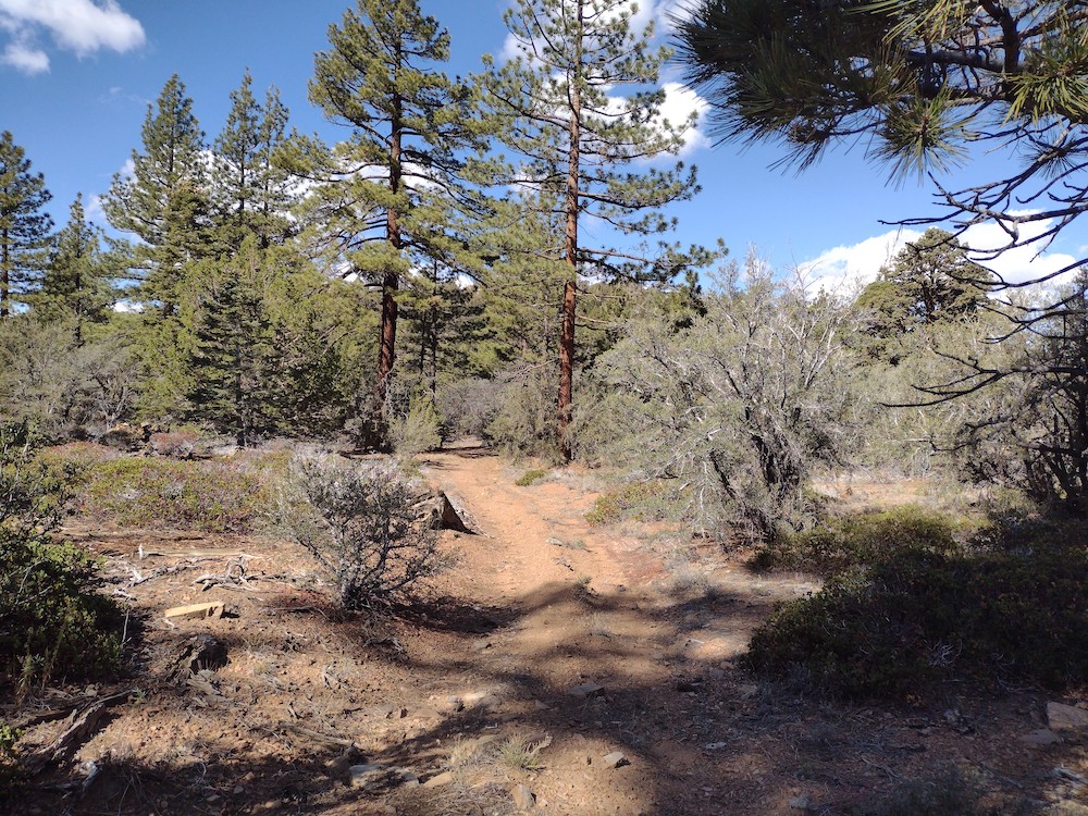
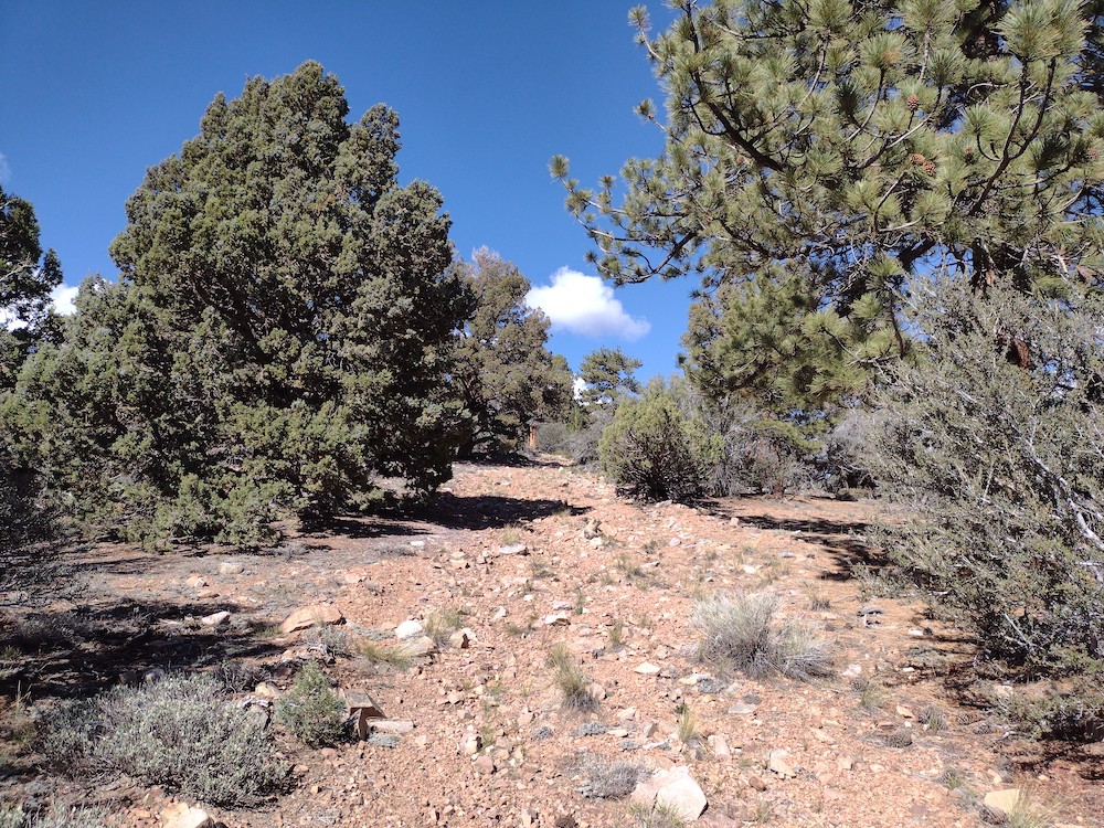
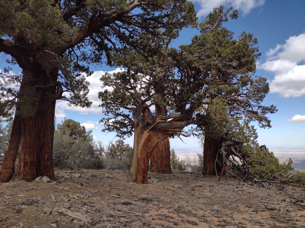
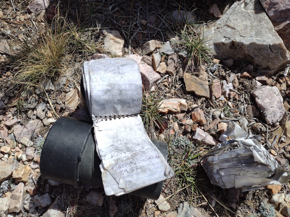
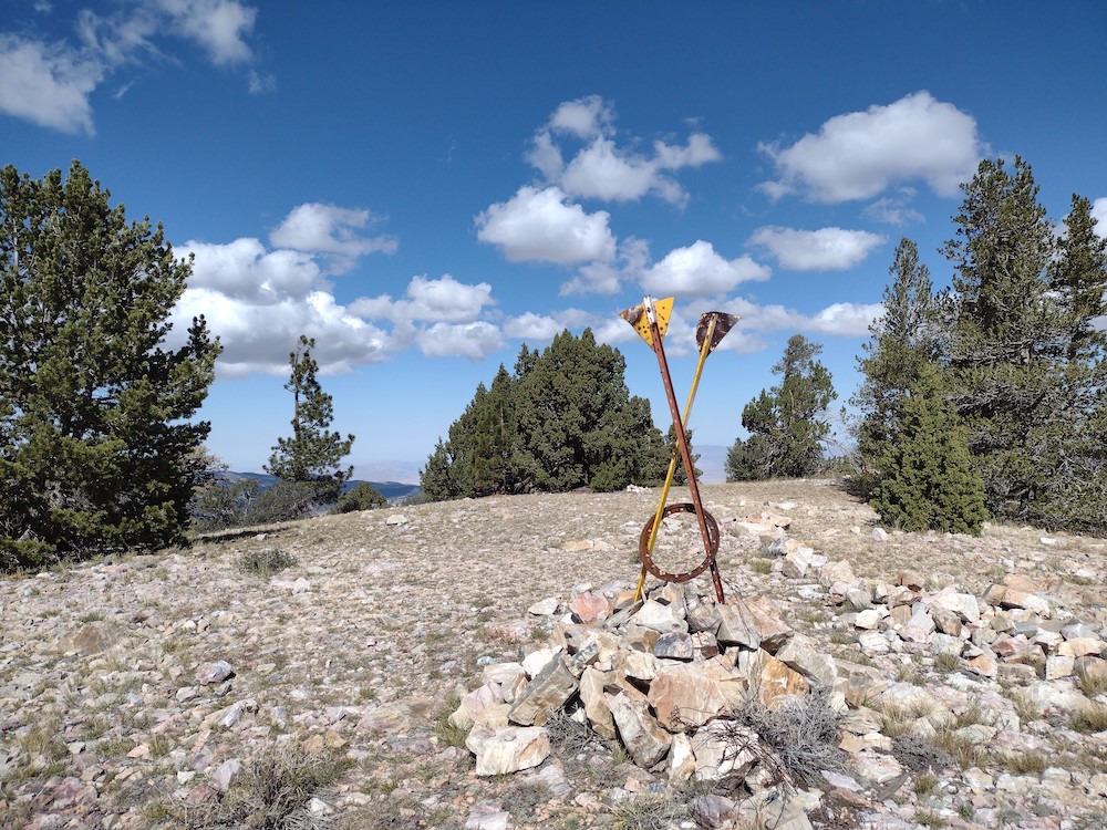
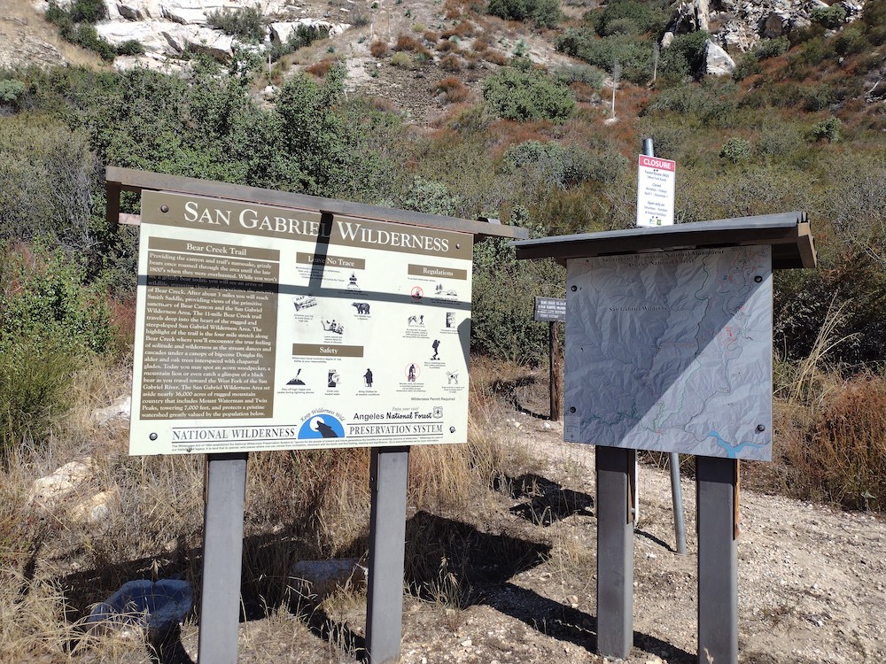
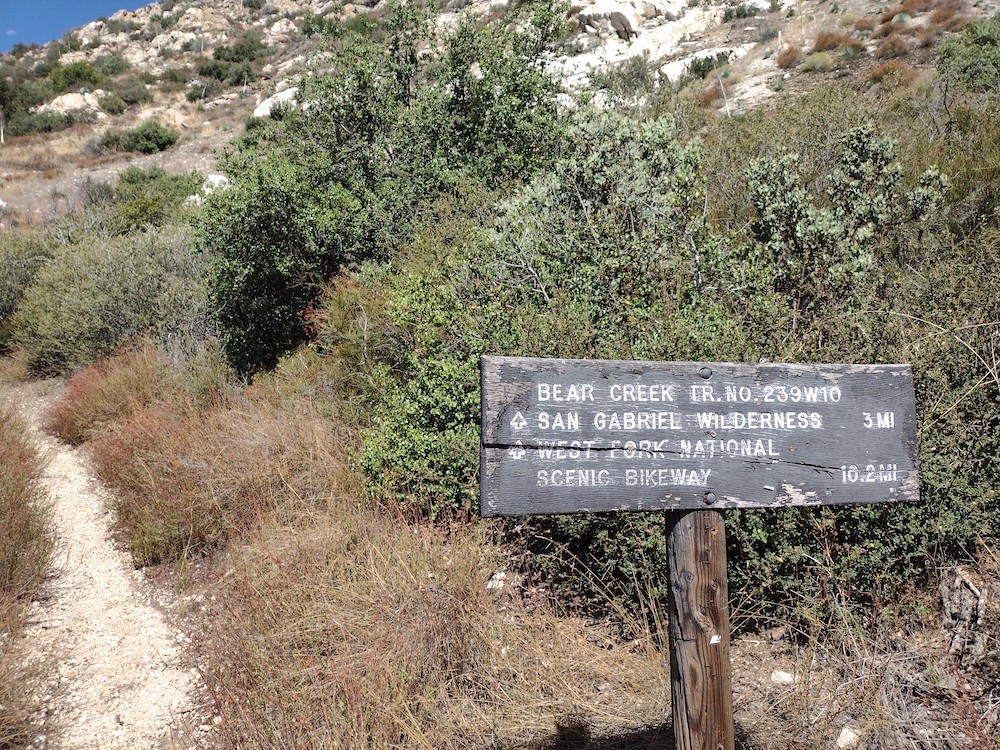
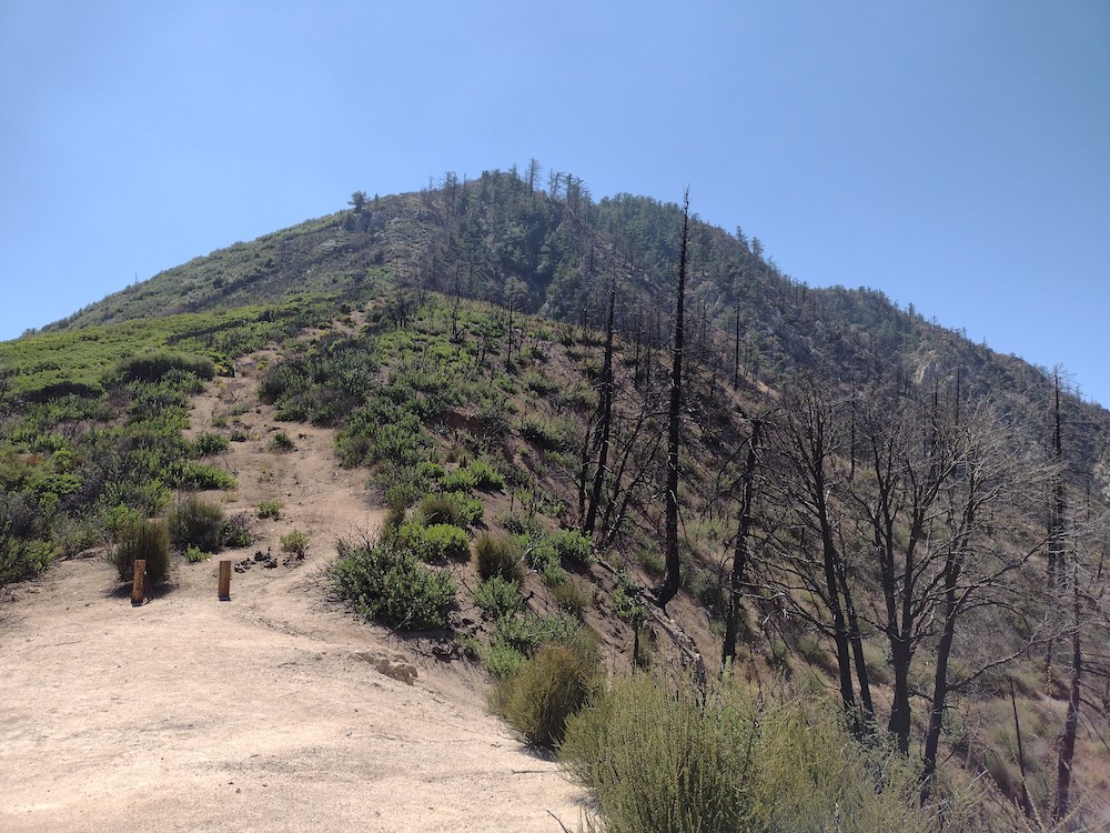
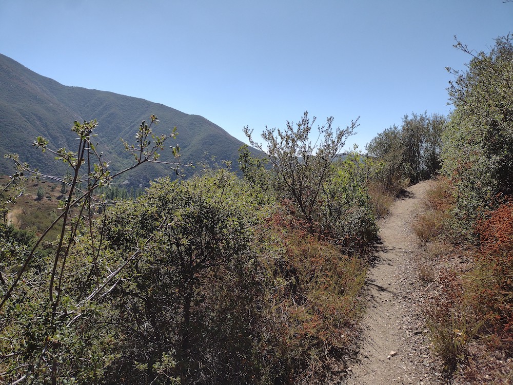
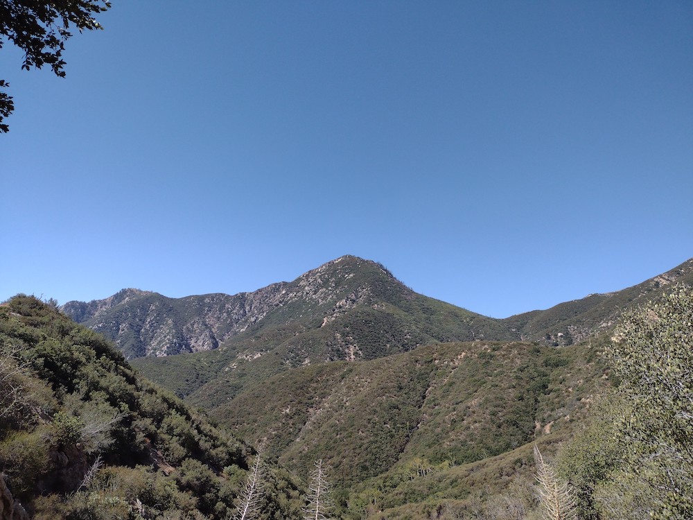
This was my second activation of the day, having hiked W6/CT-041 earlier. I was starving from a light breakfast so I stopped at a small diner in Angelus Oaks for a late lunch burger. From the diner, I took a small dirt road behind the post office as far as I could in my small commuter car, parked and started hiking to the summit. It had just rained, so there was quite a few large water puddles. If it was drier I could have just driven to the use trail that leads to the summit. The trail is pretty obvious, just steep. At the top there was a small rattle snake curled up right where I wanted to setup. The snake was there first so I put the antenna a bit further down the hill, but well within the activation zone. The clock just passed 00:00, and I was loosing daylight so I worked through the bands quickly, with a few S2S and a Japanese DX station. I rushed to tear the station down and hiked down the hill. I git back to the car right before the last light of the day. Perfect timing!
https://sotl.as/summits/W6/CT-076
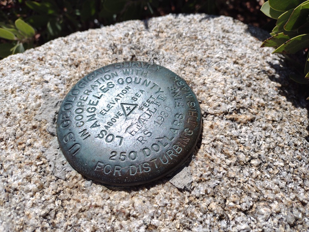
Max elevation: 6542 ft
Total climbing: 2110 ft
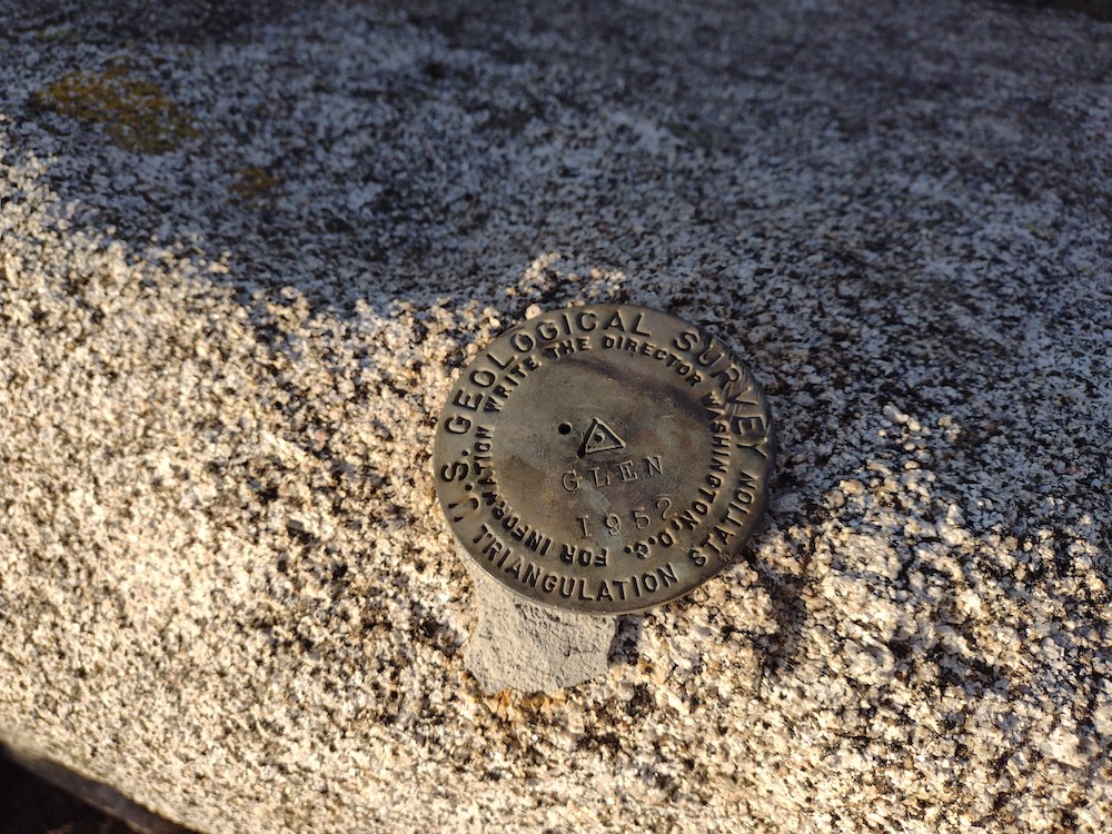
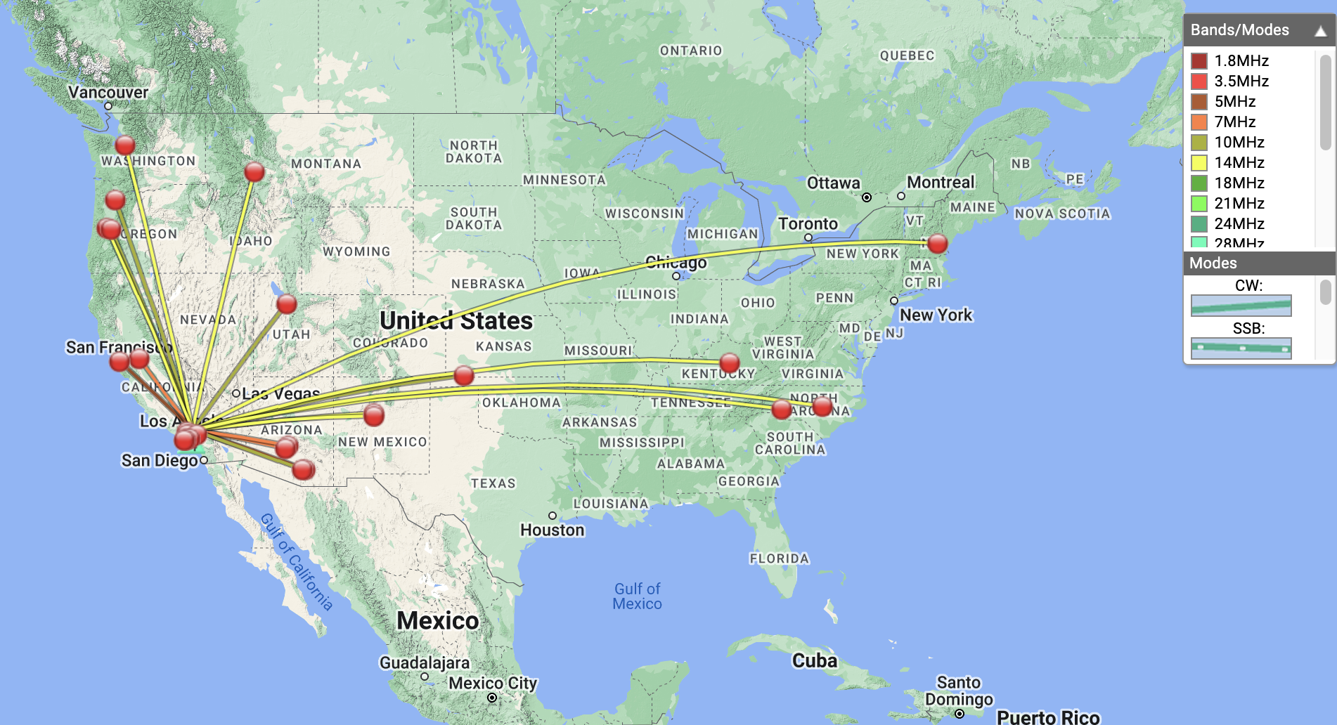
Date:14/10/2022 | Summit:W6/CT-076 (Constance Peak)
| Time | Callsign | Band | Mode | Notes |
|---|---|---|---|---|
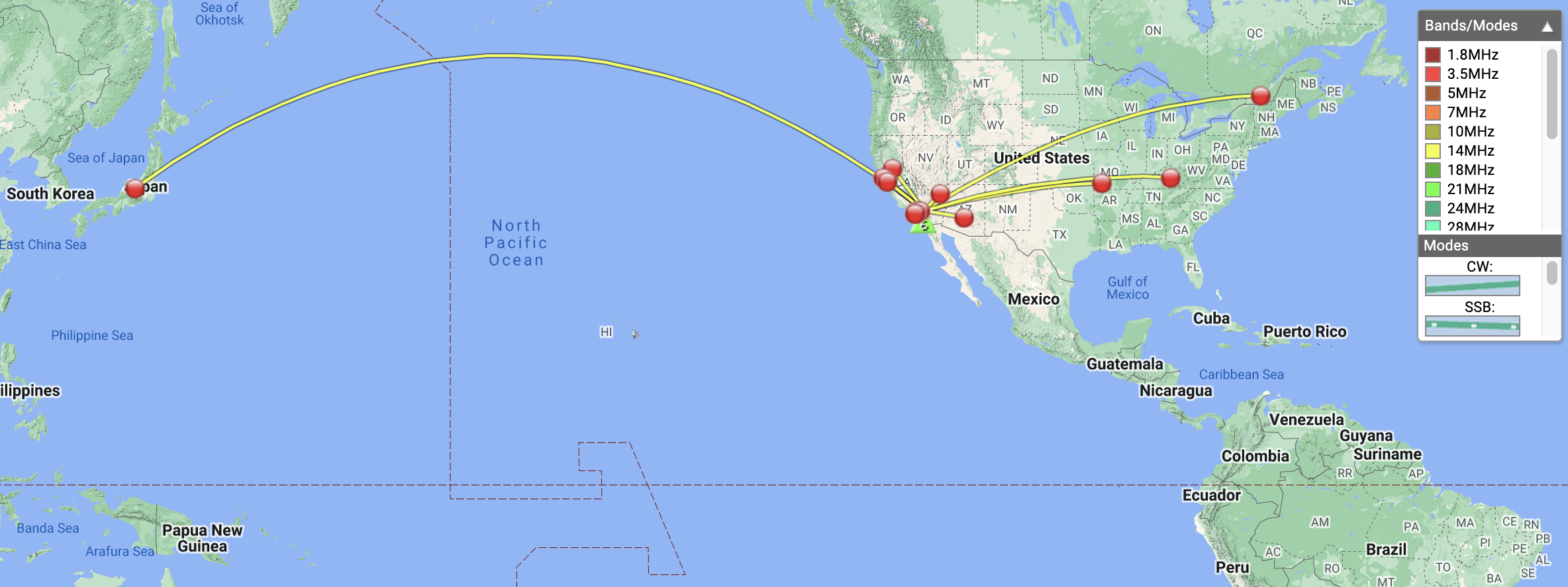
| 00:05 | NT6E | 144MHz | FM | S59 R56 |
| 00:08 | K6QSB | 14MHz | CW | S57N R56N |
| 00:10 | K0LAF | 14MHz | CW | S44N R33N |
| 00:11 | JG0AWE | 14MHz | CW | S22N R33N |
| 00:12 | K6EL | 14MHz | CW | S55N R599 |
| 00:13 | VA2EO | 14MHz | CW | S22N R22N |
| 00:15 | W6LOR | 14MHz | CW | S52N R33N |
| 00:15 | WB6POT | 14MHz | CW | S599 R599 |
| 00:17 | W7SKH | 14MHz | CW | S53N R55N S2S W6/CC-045 |
| 00:17 | W7CBR | 14MHz | CW | S58N R599 S2S W6/CC-045 |
| 00:18 | K6STR | 14MHz | CW | S52N 33N |
| 00:19 | KN6OMN | 14MHz | CW | S599 R599 |
| 00:21 | W4ZXT | 14MHz | CW | S57N R55N |
| 00:23 | AI6XG | 14MHz | CW | S52N R33N? S2S W6/CC-045 |
| 00:38 | KM6CEM | 144MHz | FM | S55 R55 |
| 00:39 | KK6JM | 144MHz | FM | S57 R59 |
| 00:40 | KI6SLA | 144MHz | FM | S59 R55 |
| 00:41 | WA6WV | 144MHz | FM | S57N R45 |