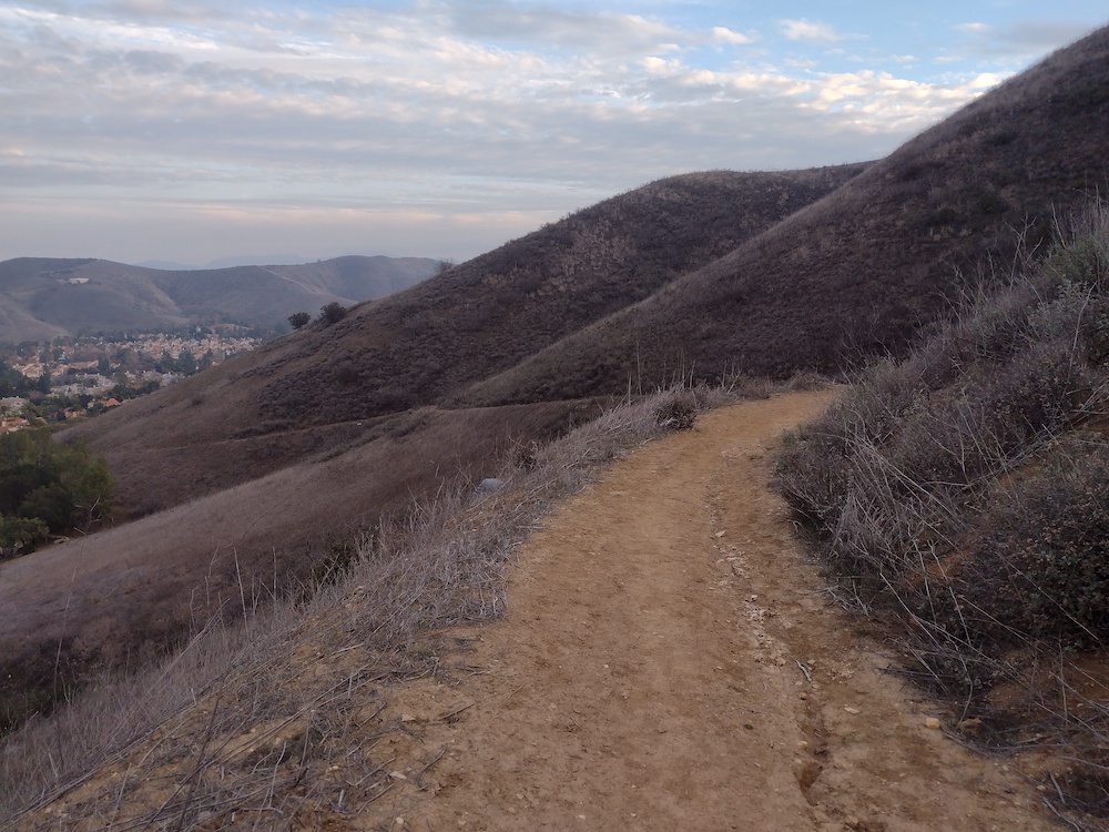
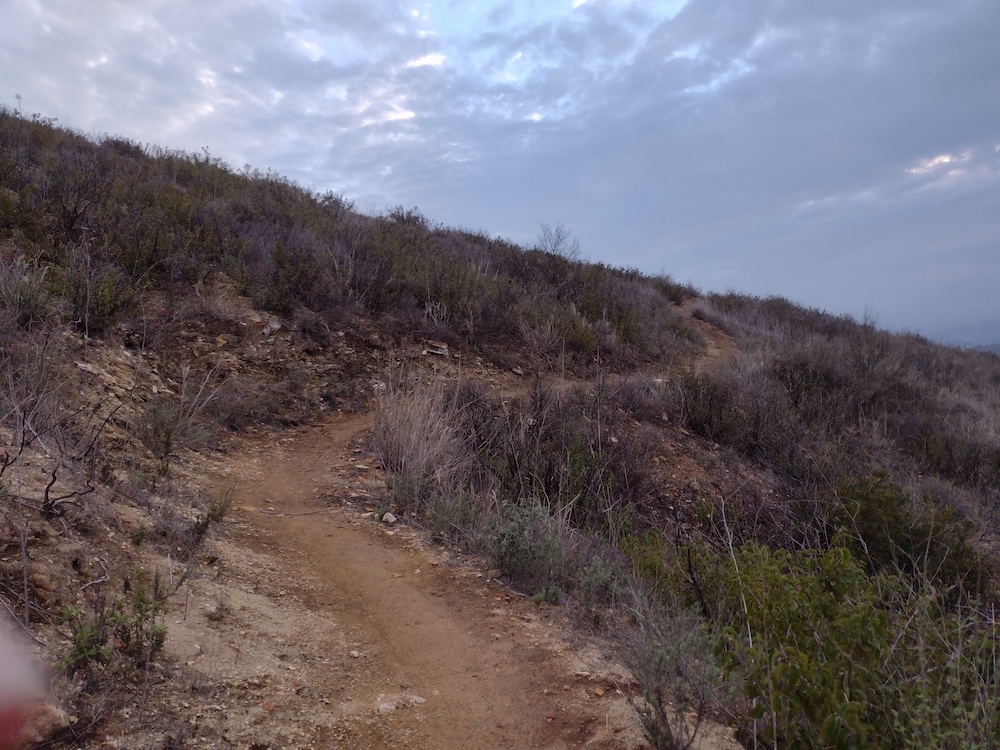
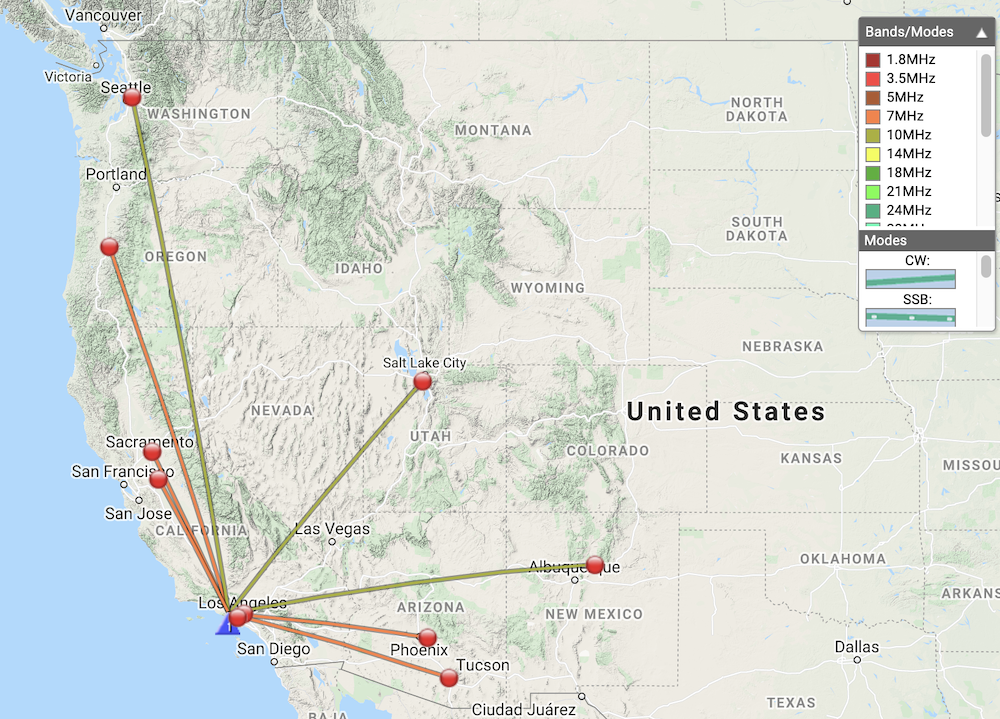
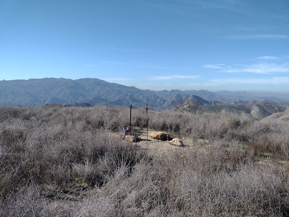
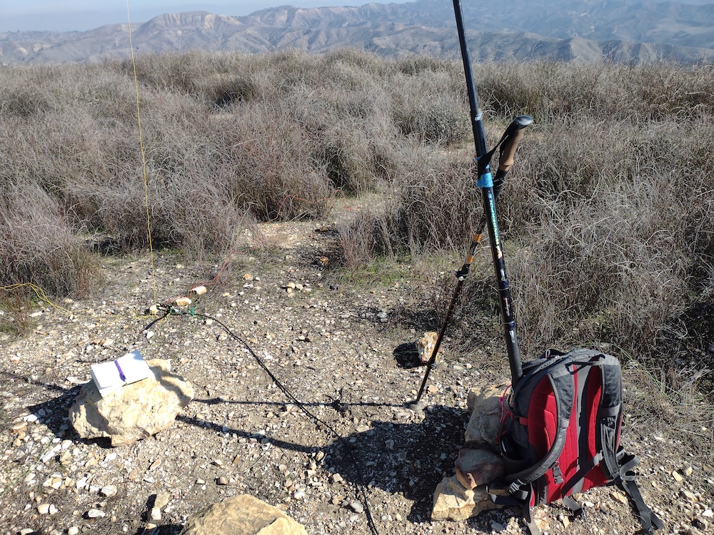
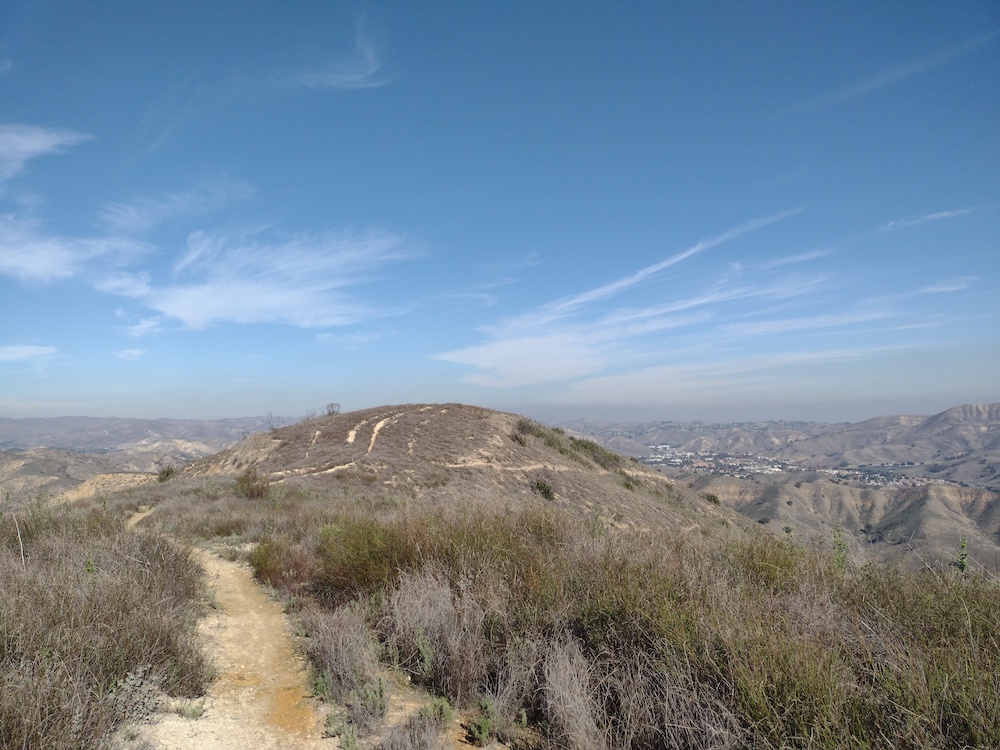
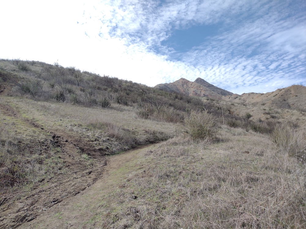
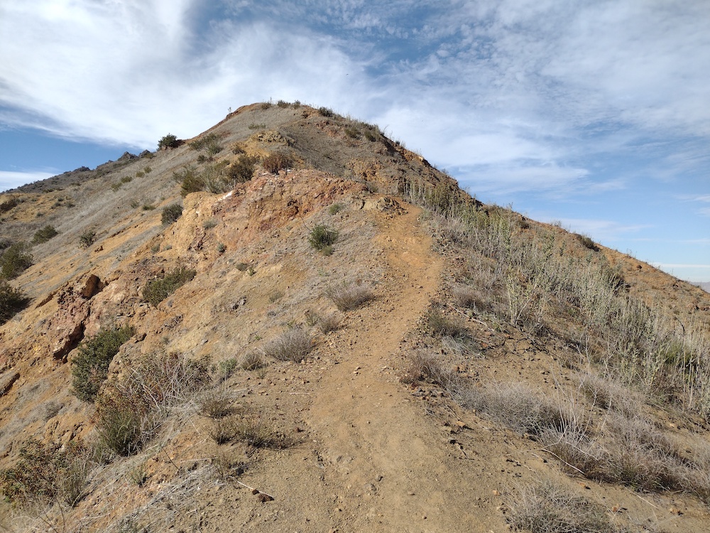
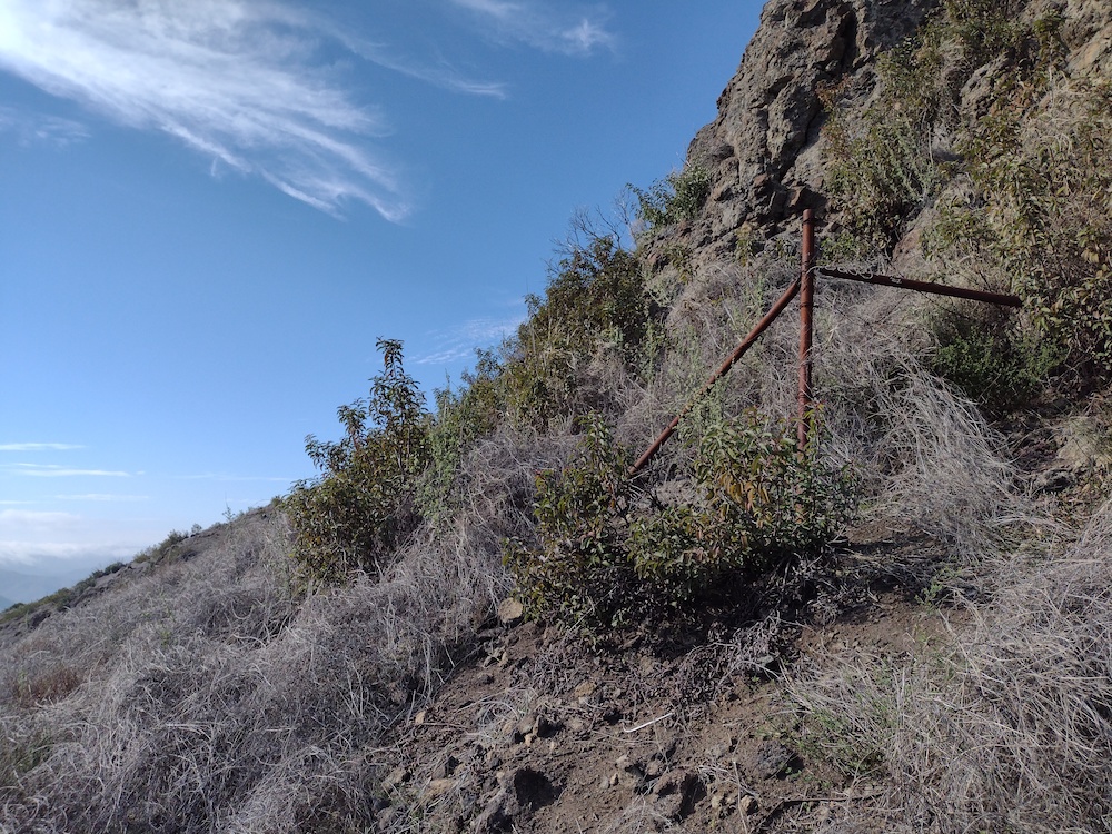
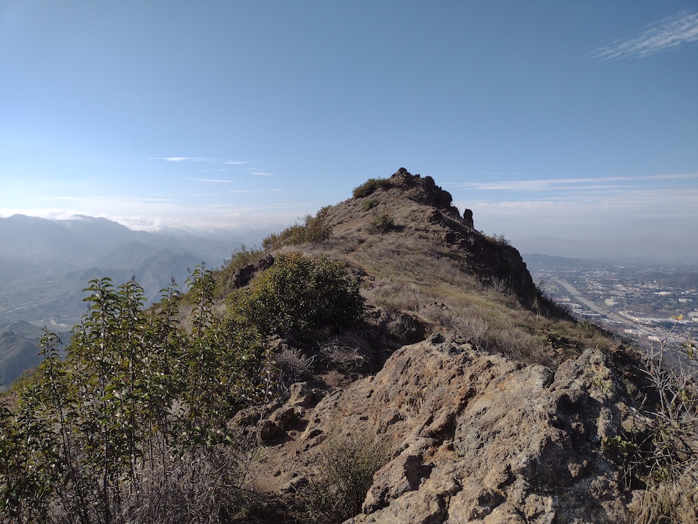
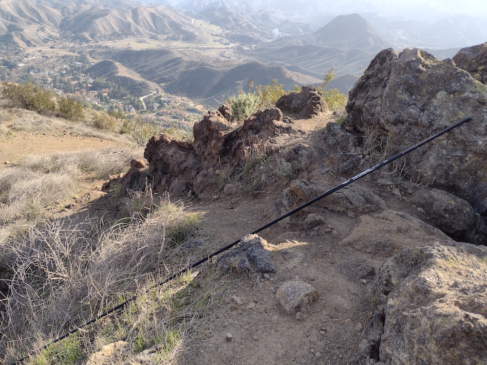
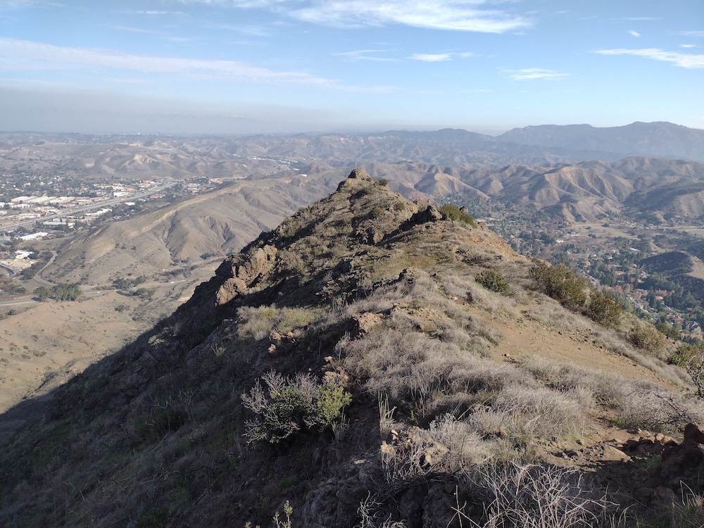
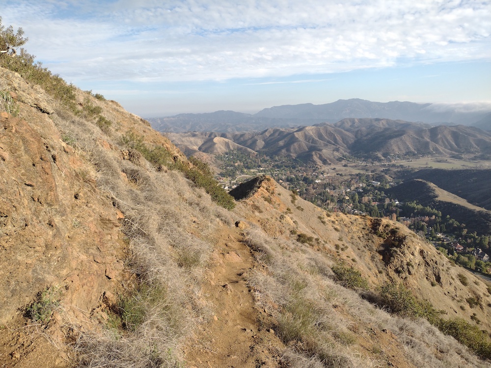
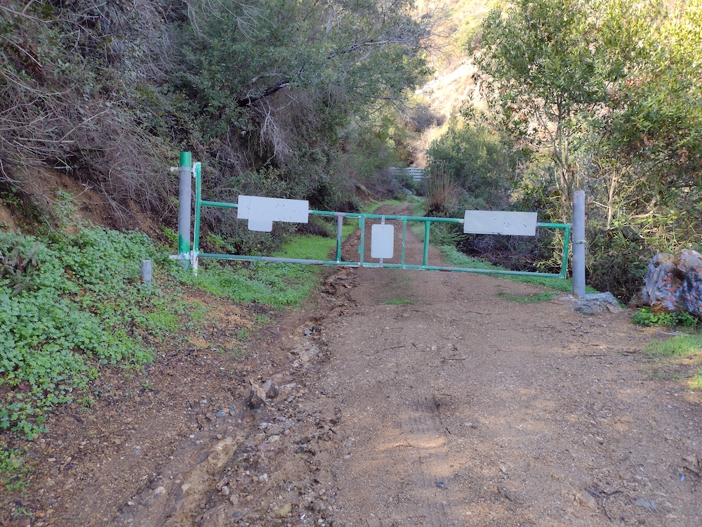
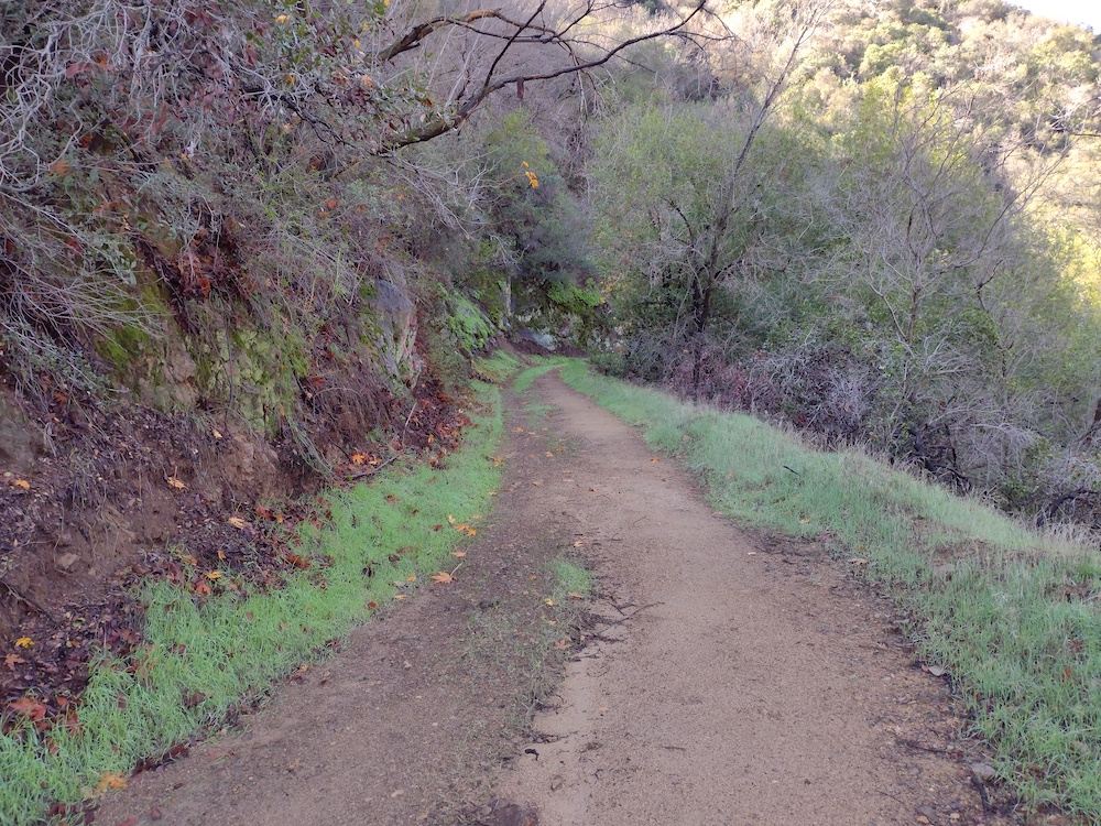
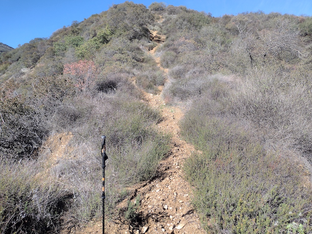
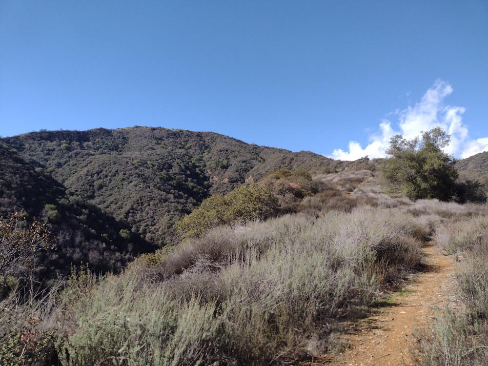
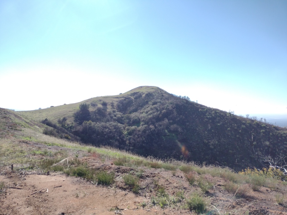
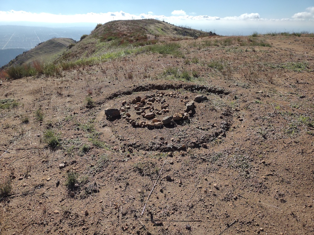
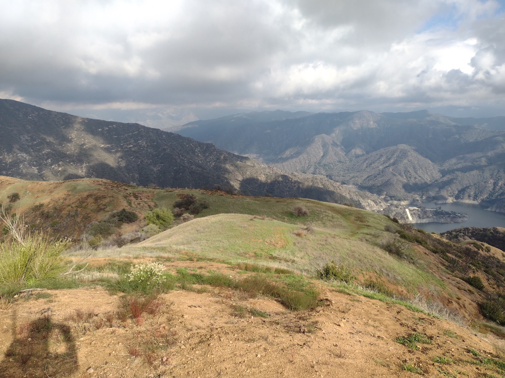
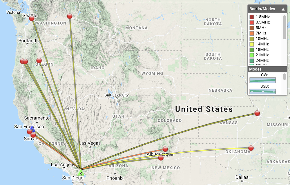
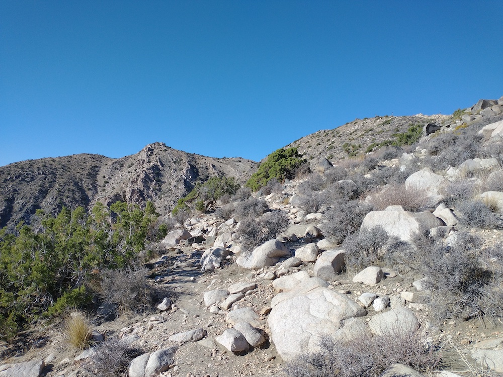
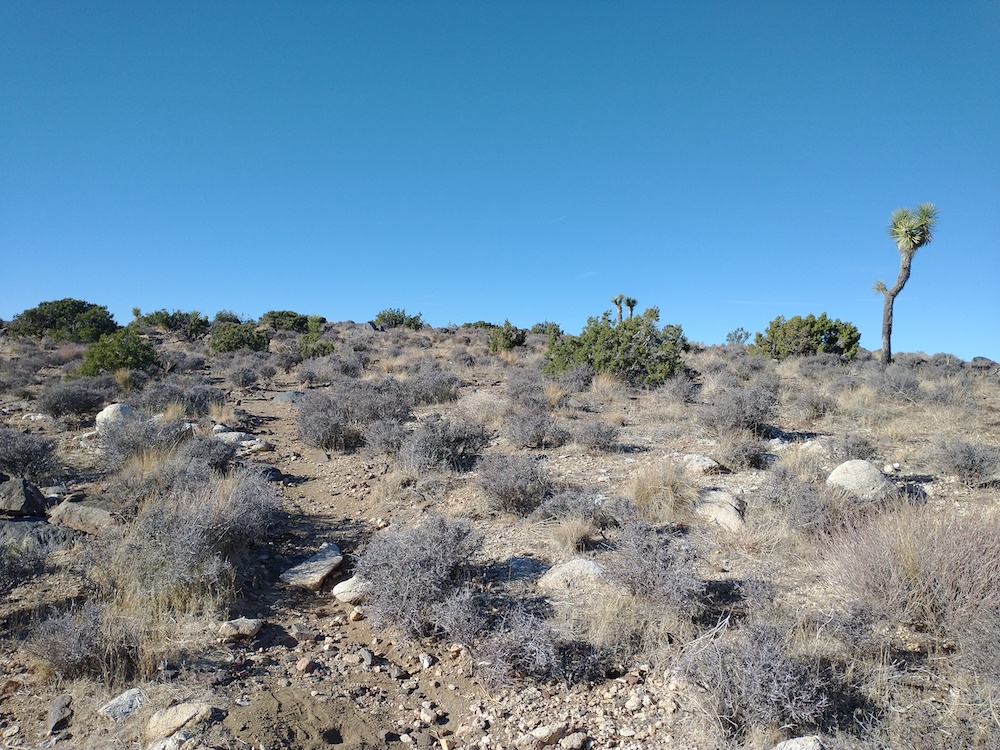
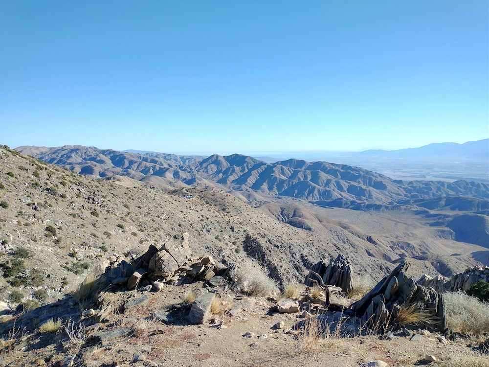
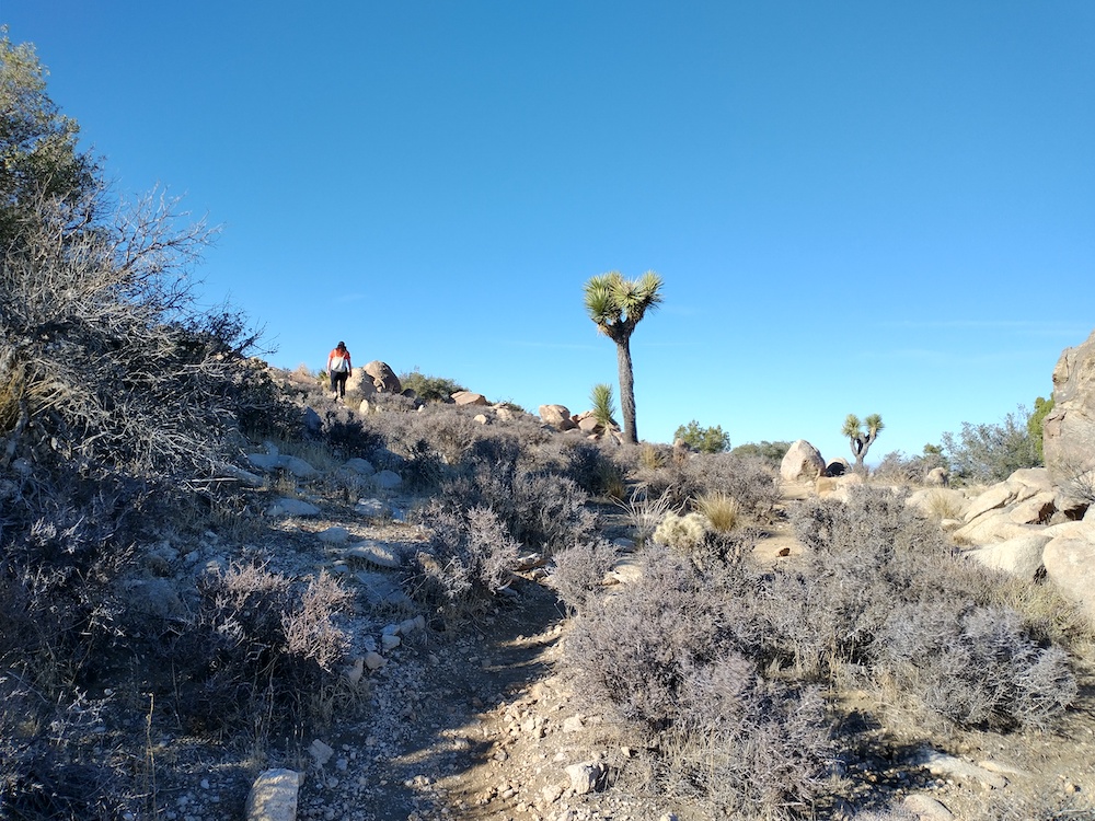
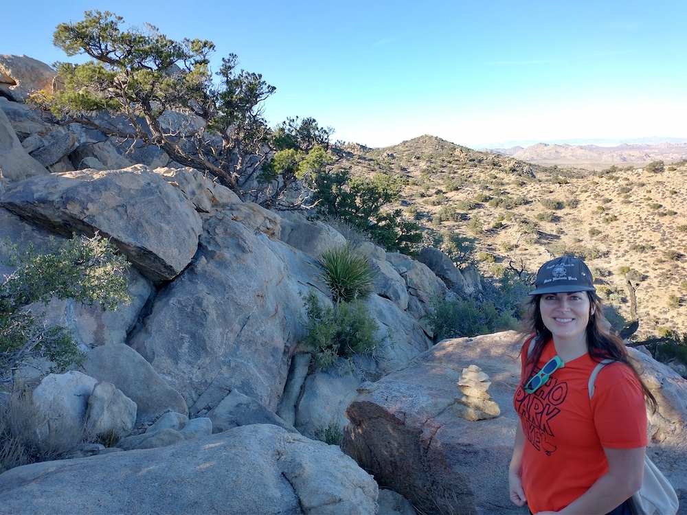
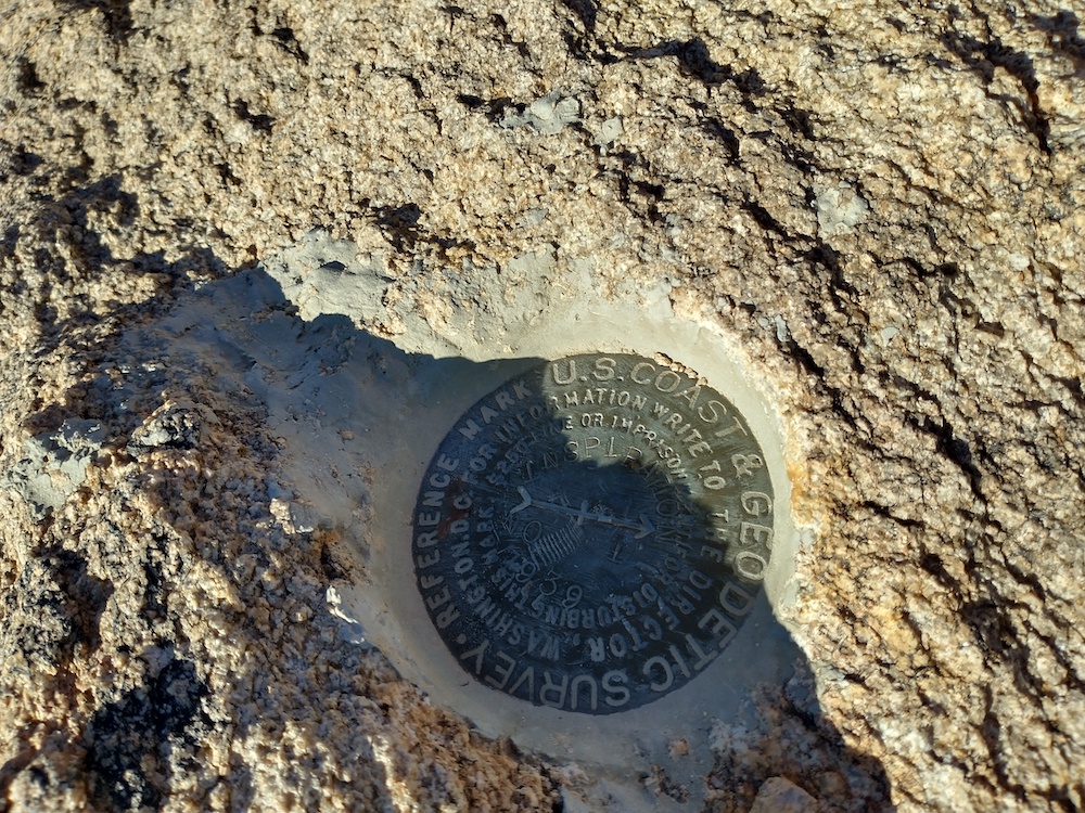
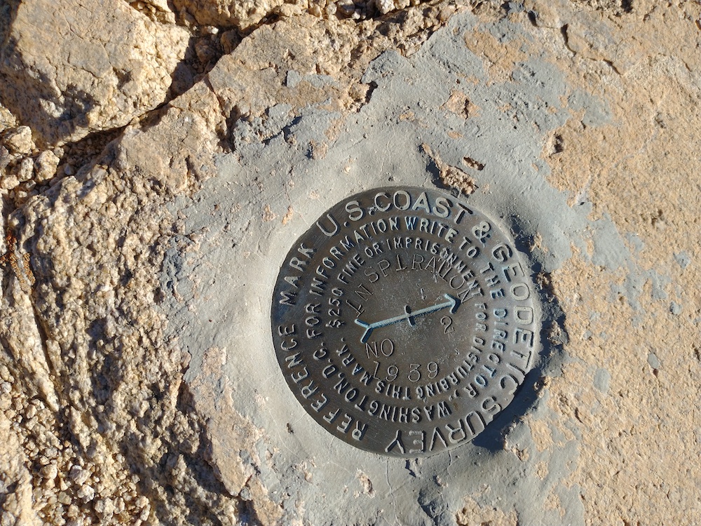
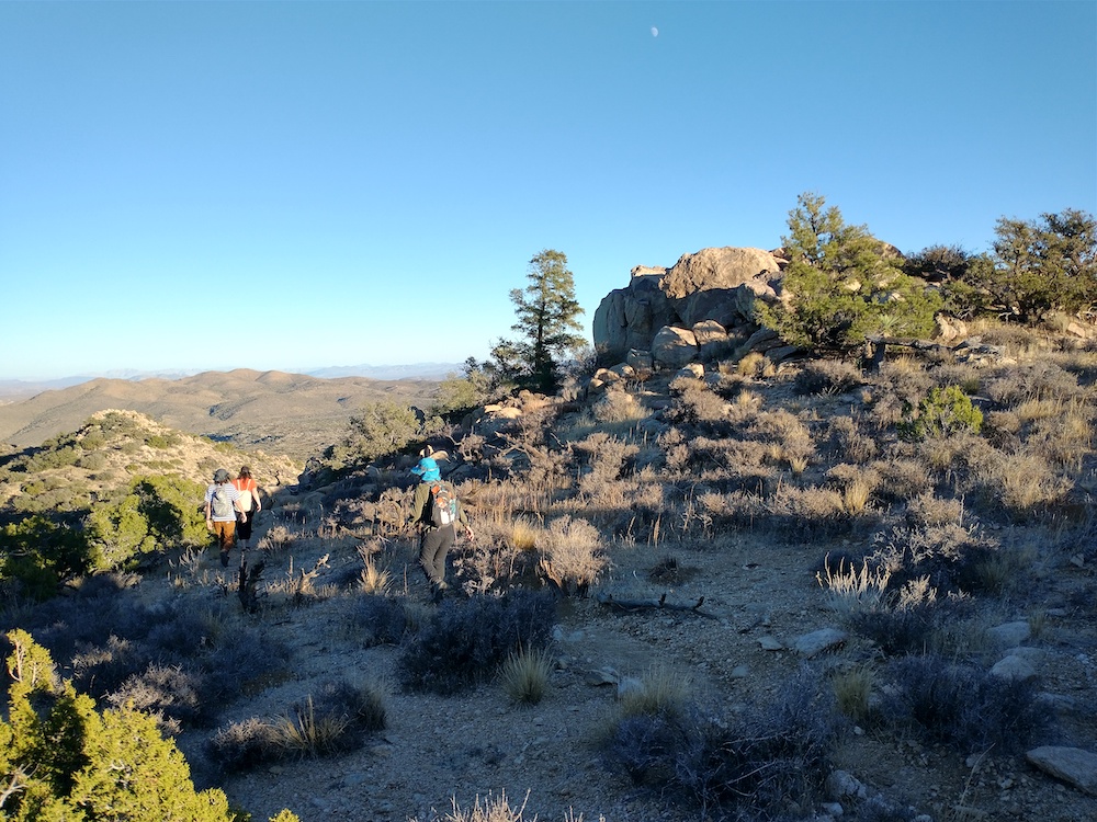
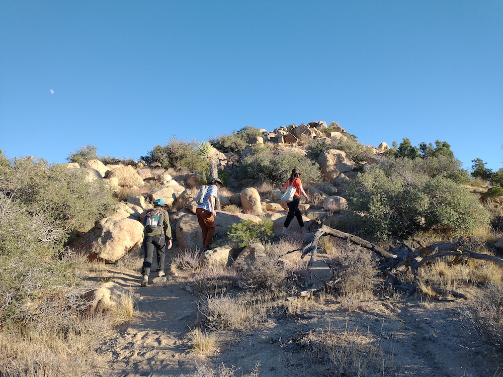
This was my third summit of the day. I decided to hike this one last minute because SoCal traffic was going to start loading up, and I figured why not hike instead of sit in traffic? I parked in a neighborhood somewhere in Thousand Oaks/ Westlake Village right next to the trailhead. Not entirely sure the name. Also not sure if this is still the Santa Monica Mountains? The path up is well defined and easy to follow. At the top is a single bench. I setup my station here as the sun set and called CQ on 40M, but only two takers. Pulled out the FM HT and called CQ on 2M and had a few local contacts. At this point the dew was setting and everything was getting extremely wet, to the point my paper wasn’t working anymore. Made two additional contacts on 40M then packed the station down and headed back to the car. I took the fire break down instead of the trail the wraps around the back side of the summit. My flashlight died on the way down so I used the white LED on my Yaesu, ha! I should probably pack a spare set of cells next time.
https://sotl.as/summits/W6/CT-228
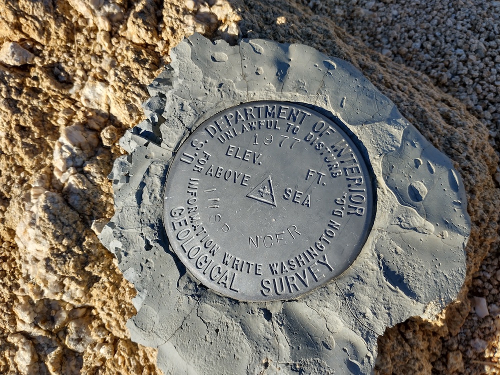
Max elevation: 1824 ft
Total climbing: 804 ft
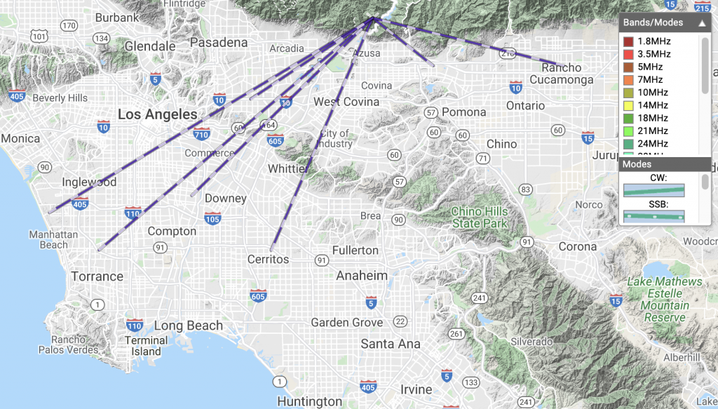
Date:08/01/2022 | Summit:W6/CT-228 (1821)
| Time | Callsign | Band | Mode | Notes |
|---|---|---|---|---|
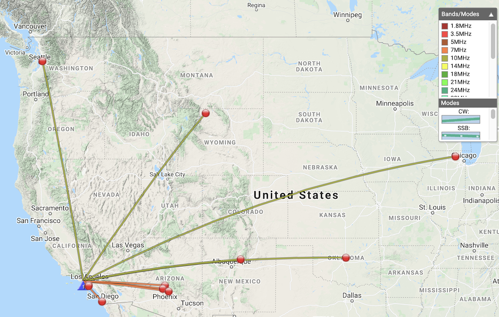
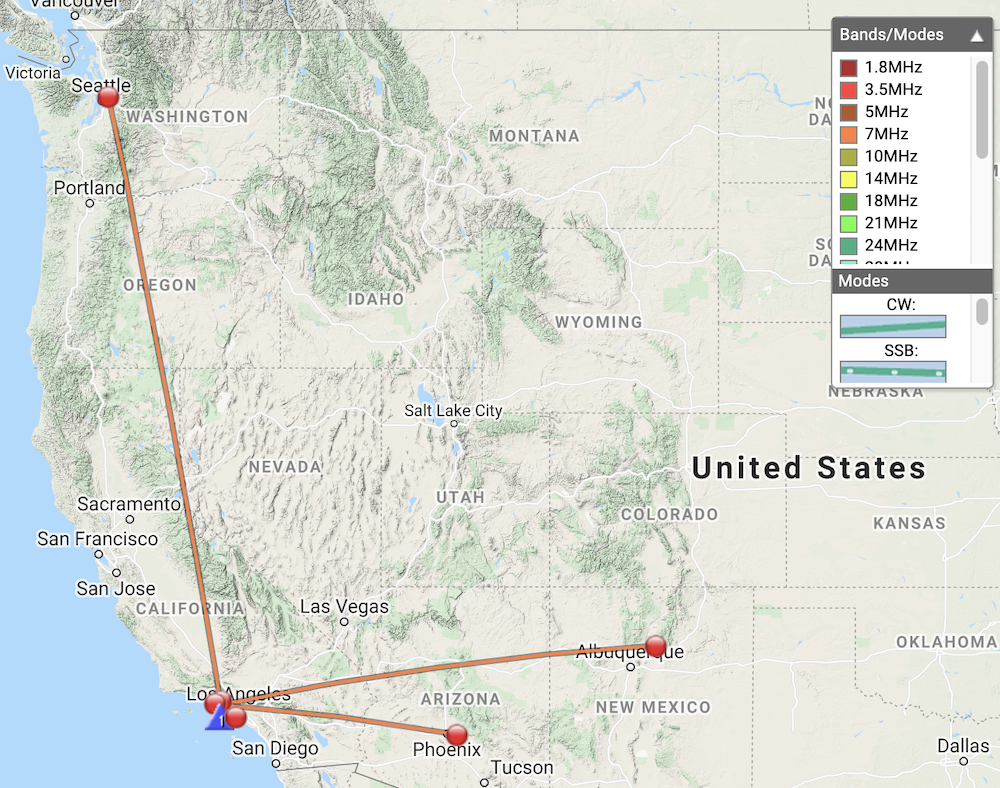
| 01:19 | KT5X | 7MHz | CW | S54N R33N |
| 01:21 | WW7D | 7MHz | CW | S589 R43N |
| 01:28 | AG6AG | 144MHz | FM | S59 R59 |
| 01:37 | AG6JF | 144MHz | FM | S59 R55 |
| 01:41 | W6XC | 144MHz | FM | S59 R59 |
| 01:49 | N8FN | 7MHz | CW | S33N R22N |
| 01:54 | K6LDQ | 7MHz | CW | S54N R52N |