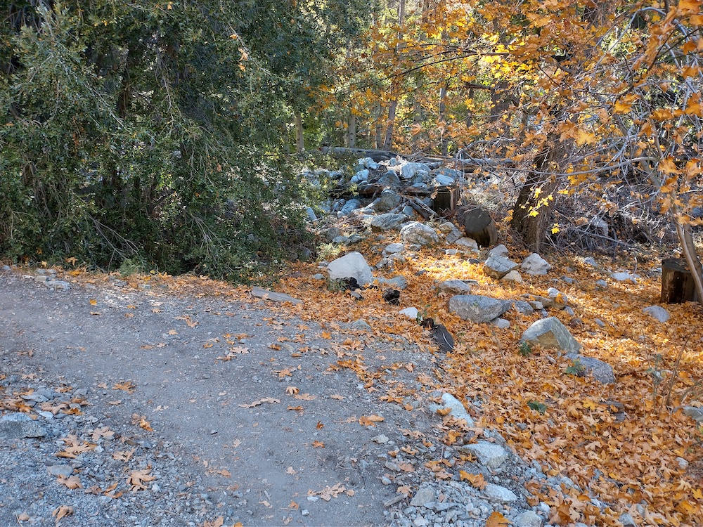
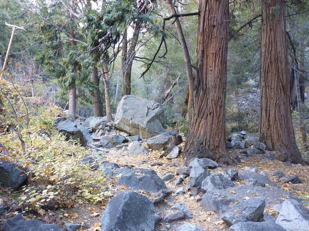
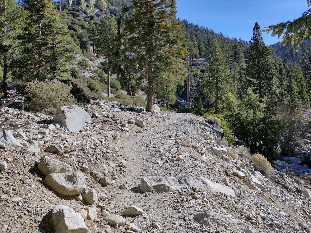
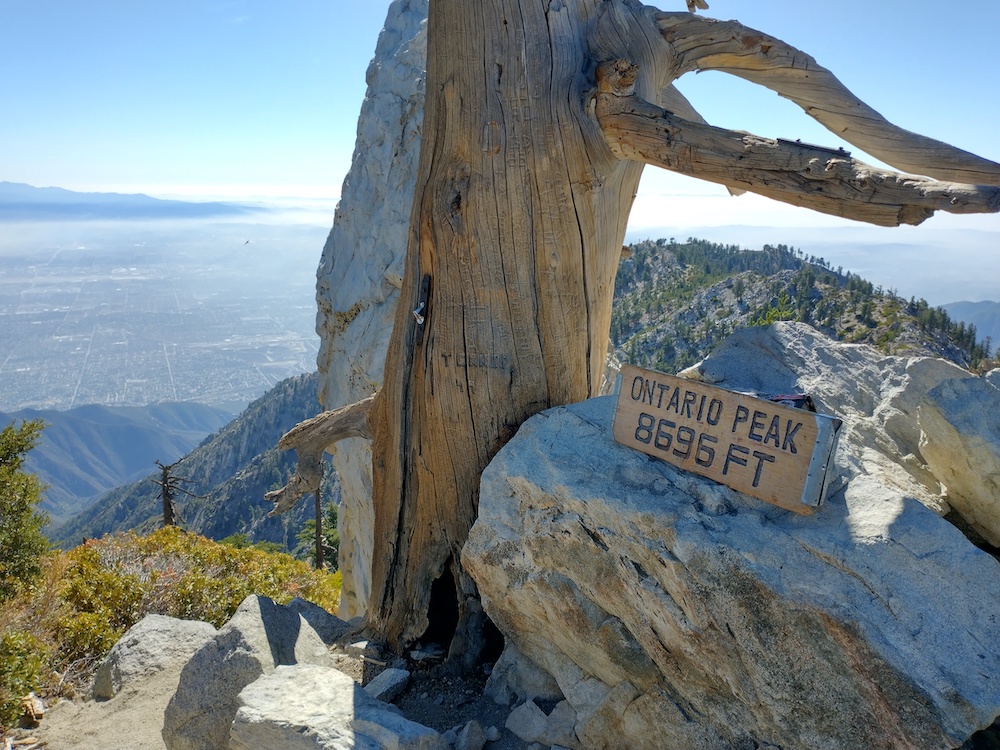
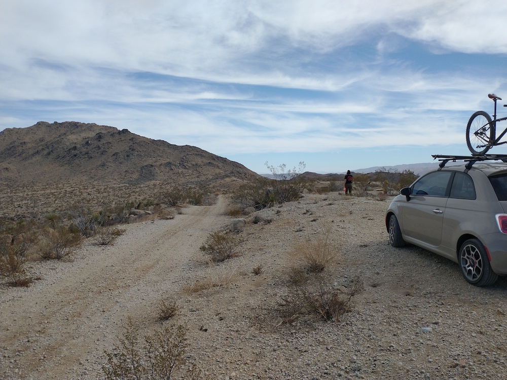
Ontario Peak was my 100th activation in the logbook, but really only my 97th or 98th activation as I’ve stayed on a couple summits past 00:00z a few times and worked chasers a second time so they could get double points. All that being said, I wanted my 100th activation to be a long hike, in addition, I wanted to hike to a summit I’ve never been to. Ontario Peak fit that description, and having hiked Ice House Canyon twice before I knew what I was getting into. Originally I was only going to bring an HT for UHF/ VHF to save weight, but at the last moment the FT817 kit found it’s way into my pack, however, I omitted the antenna mast and Bioenno battery and just brought some twine to support my vertical antenna from a tree, and some AA batteries to run the rig.
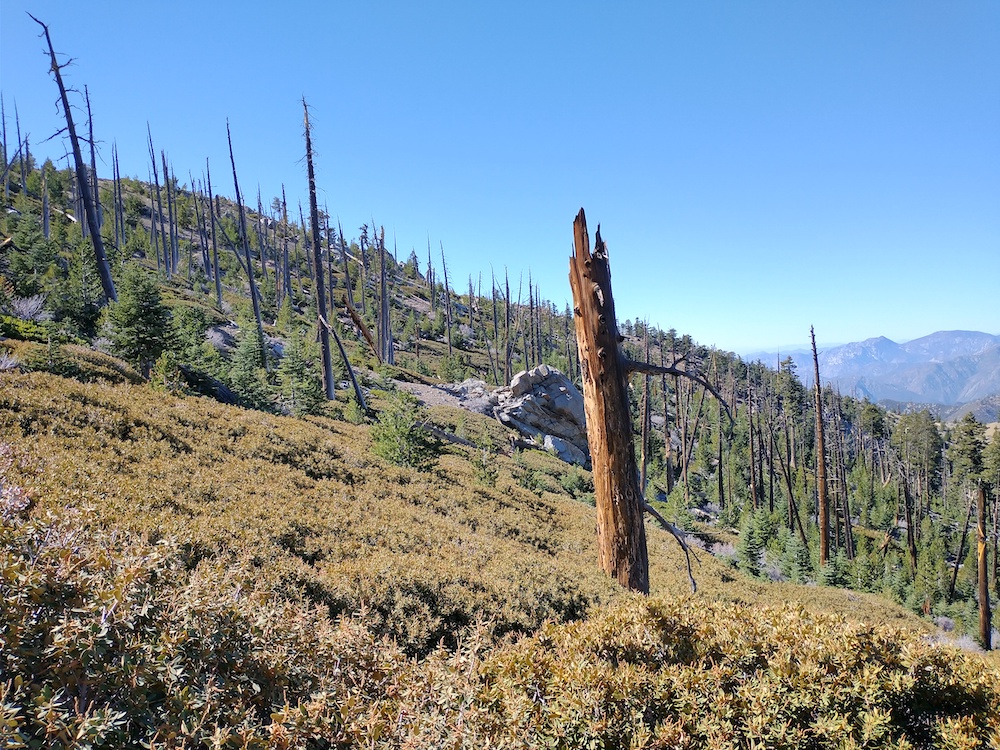
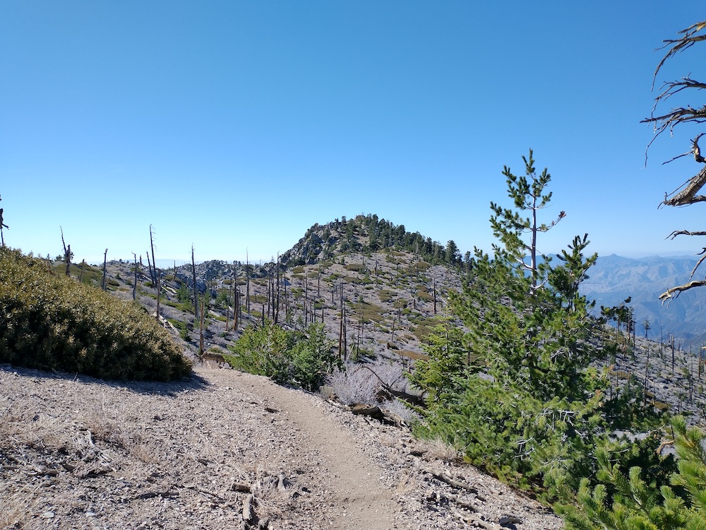
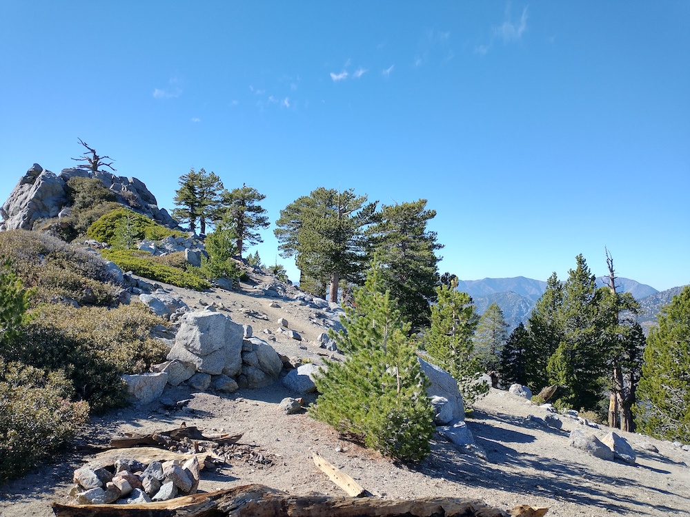
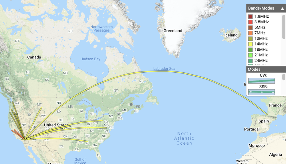
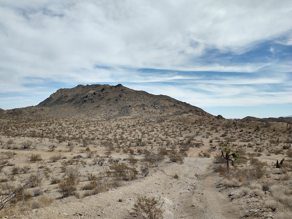
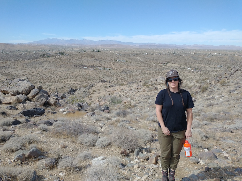
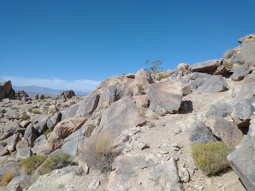
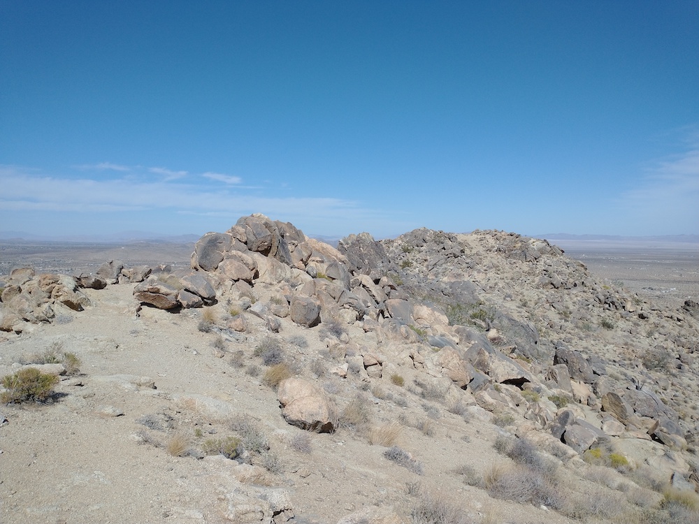
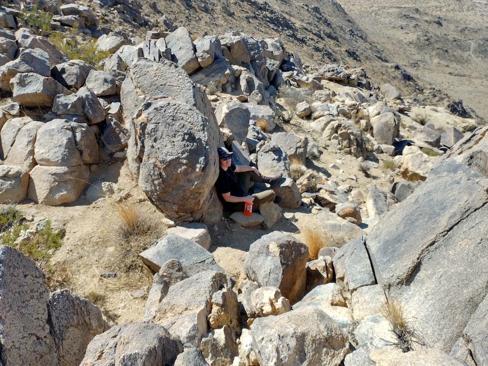
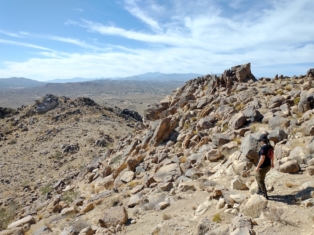
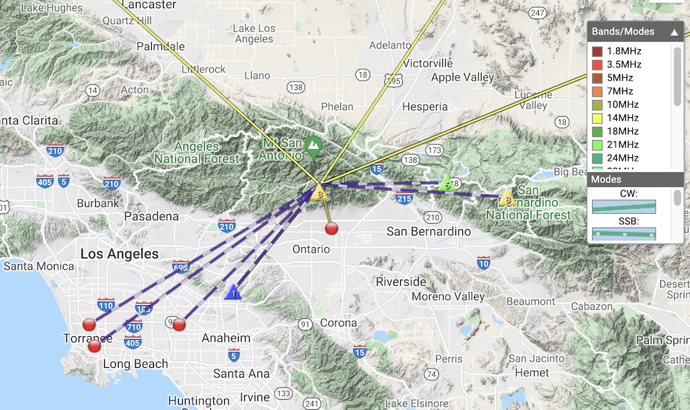
The hike up is somewhat popular, and about 6 miles to the summit with a bunch of elevation gain. Once at the top I was surprised to find how small the actual summit is. I ate a burrito and relaxed a bit before calling CQ on my HT. This immediately got me 4 contacts, 1 S2S. Feeling pretty exhausted from the hike up, I wasn’t feeling motivated to set up the HF station. Good trees to support a wire are all kinda off the edge of ridge and likely outside of the activation zone. Since I hauled the equipment up there, I figured I would just lay the vertical over the chaparral and see what happened. I sent a spot on 20m CW and to my surprise, made several contacts. Moving to 30m, the AA batteries in my radio were acting up and the rig shutdown several times while calling CQ, so I gave up. While packing up the rig, I heard 3 S2S stations on 2m. Whoooohoo! After working the S2S stations, I finished packing up for the 6 mile hike back to the trailhead.
https://sotl.as/summits/W6/CT-048
Max elevation: 8717 ft
Total climbing: 6111 ft
Date:05/11/2021 | Summit:W6/CT-048 (Ontario Peak)
| Time | Callsign | Band | Mode | Notes |
|---|---|---|---|---|
| 20:23 | KN6CQX | 144MHz | FM | S55 R59 S2S W6/CT-086 |
| 20:39 | K6LDQ | 144MHz | FM | S59 R59 |
| 20:41 | WA6WV | 144MHz | FM | S59 R59 |
| 20:41 | KI6SLA | 144MHz | FM | S59 R59 |
| 21:05 | K7EA | 14MHz | CW | S599 R599 |
| 21:06 | WB6POT | 14MHz | CW | S599 R599 |
| 21:07 | W0MNA | 14MHz | CW | S559 R559 |
| 21:08 | W0ERI | 14MHz | CW | S55N R55N |
| 21:09 | K6PB | 14MHz | CW | S55N R55N |
| 21:17 | K6QCB | 10MHz | CW | S55N R599 |
| 21:34 | K6STR | 144MHz | FM | S55 R52 S2S W6/CT-240 |
| 21:35 | W6LOR | 144MHz | FM | S55 R52 S2S W6/CT-240 |
| 21:42 | KN6CQX | 144MHz | FM | S55 R57 S2S W6/CT-013 |