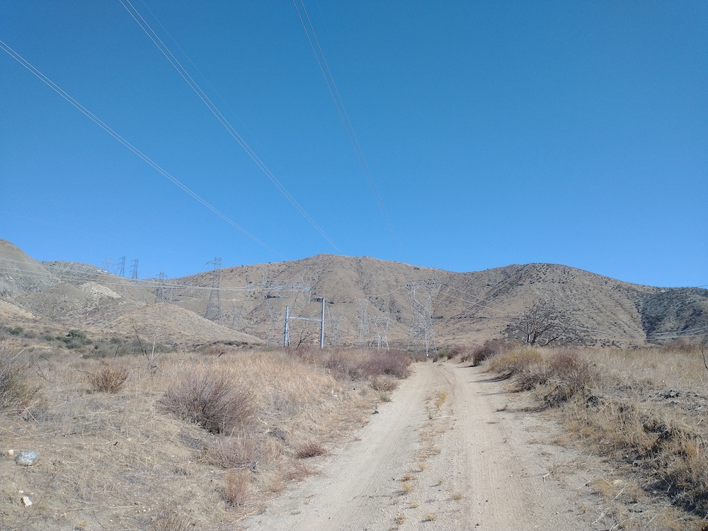
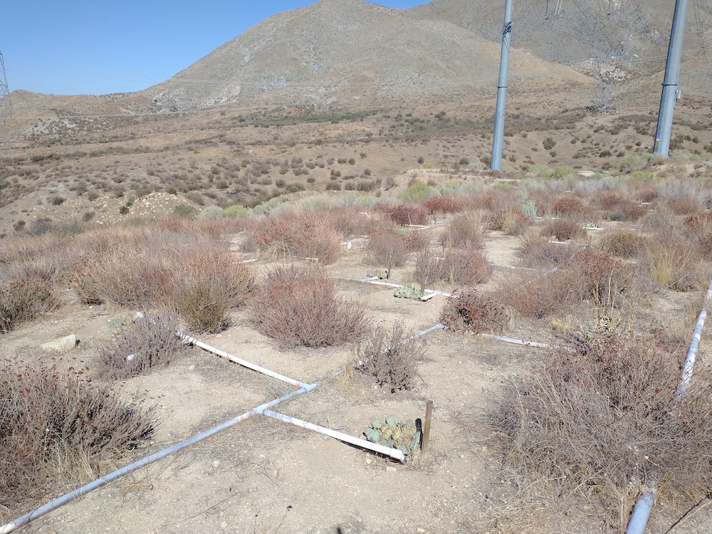
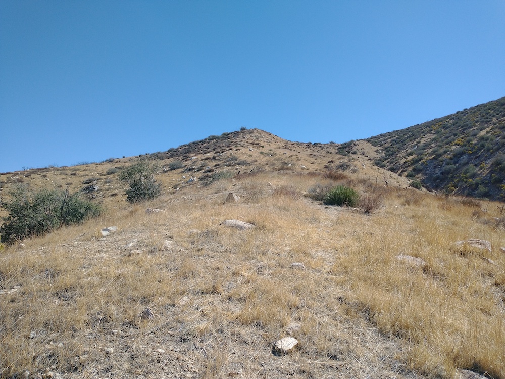
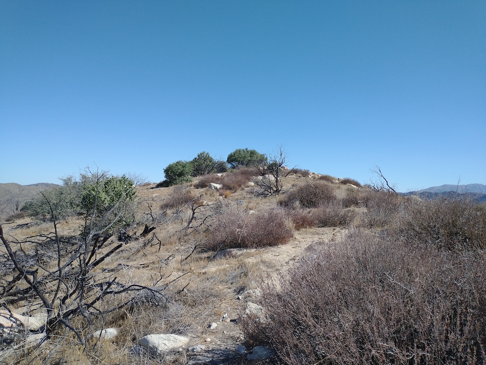
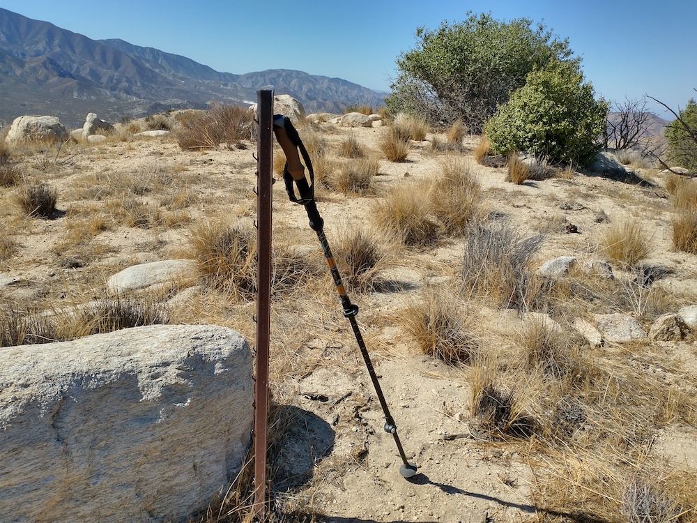
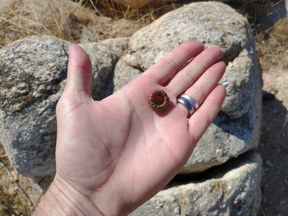
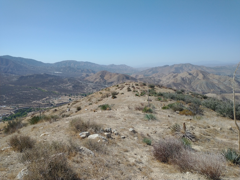
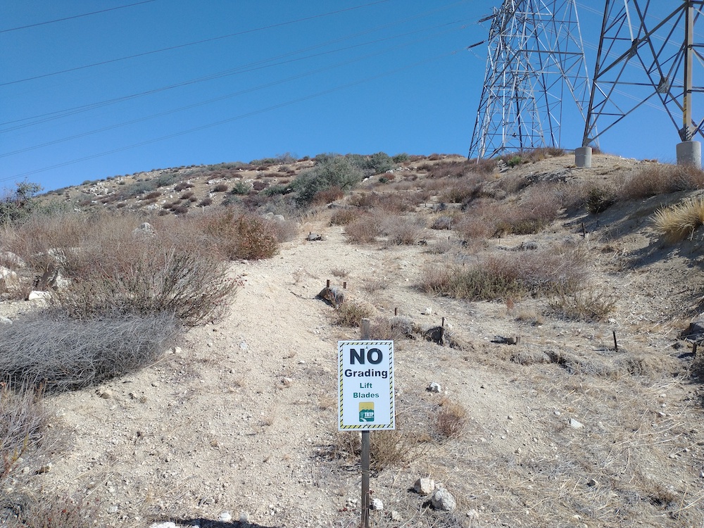
There is something about the lower elevation summits along highway 14 that I really like, and while I’m not sure exactly what that thing is, 4300 has it. I started this hike from Aliso Canyon Road and followed the transmission line service road under a support tower and started hiking up cross country style as there was no trail. After a false summit, I made it to the top where it was quite windy. I was able to find a place to sit next to a thick bush which provided some relief from the wind, and a burned tree provided good support for the vertical antenna. There was good cell service, so I spotted myself on 30M. While calling CQ, I noticed some strange noises from the receiver, thinking nothing of it, I continued calling but got no replies… I figured I would try another band. Changing bands require a switch to flipped at the feed point, which adds a loading coil for whatever band was selected. To my surprise, the loading coil for 30m was sitting on the ground – no wonder the radio wasn’t working! The good news was I could still activate on 20M, as this antenna design resinated well there without coils. Made one S2S. On the hike down I picked up a faint use trail and followed it back to the service road. What a great day!
https://sotl.as/summits/W6/CT-262
Max elevation: 4183 ft
Total climbing: 34045 ft
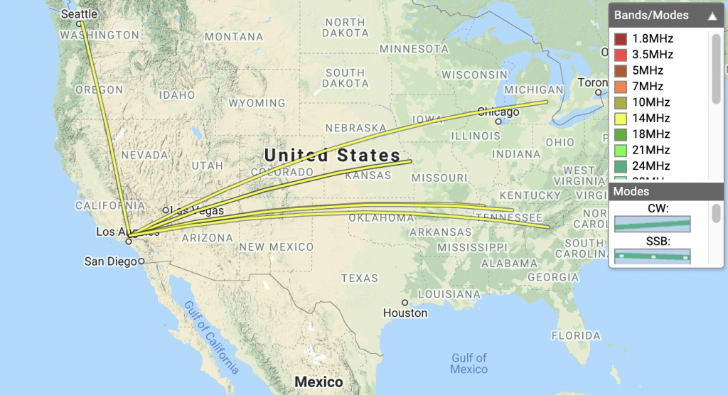
Date:15/10/2021 | Summit:W6/CT-262 (4300) |
| Time | Callsign | Band | Mode | Notes |
|---|---|---|---|---|
| 19:40 | W0MNA | 14MHz | CW | S559 R559 |
| 19:42 | K2JB | 14MHz | CW | S229 R229 S2S W4C/WM-014 |
| 19:45 | W0ERI | 14MHz | CW | S589 R55N |
| 19:46 | N4MJ | 14MHz | CW | S559 R559 |
| 19:49 | AI7FF | 14MHz | CW | S55N R559 |
| 19:53 | W4SK | 14MHz | CW | S559 R559 |
| 19:55 | WW7D | 14MHz | CW | S599 R569 |
| 19:57 | K8LJG | 14MHz | CW | S5NN R33N |