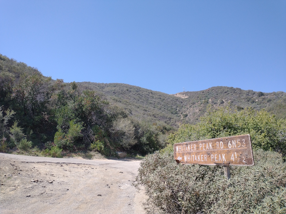
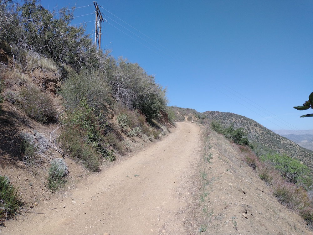
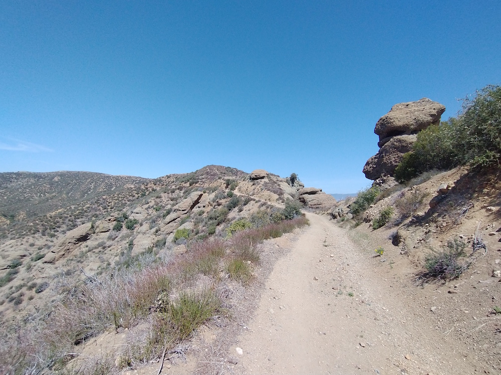
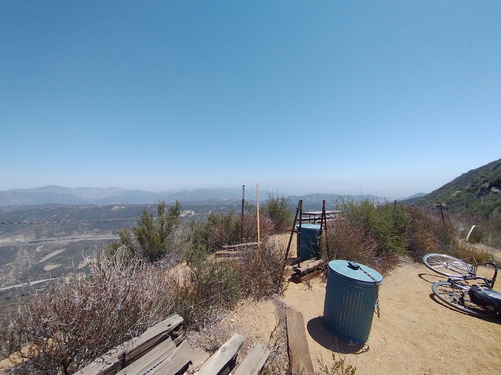
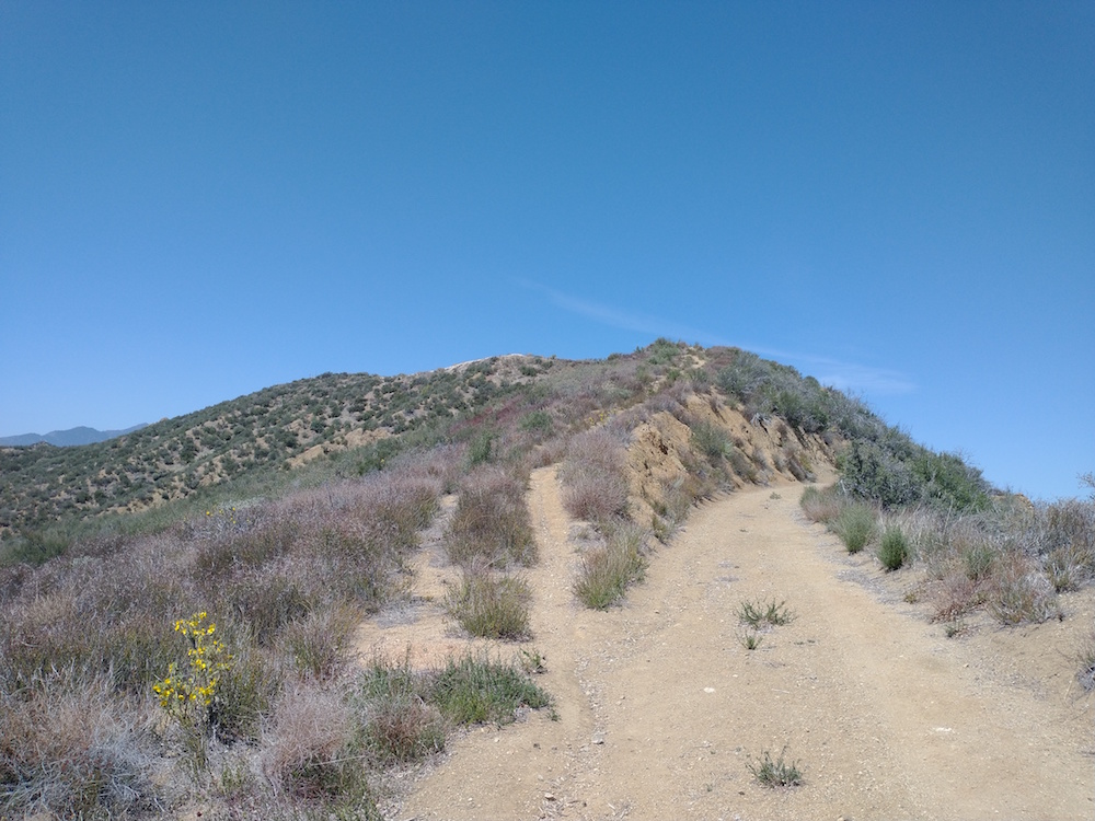
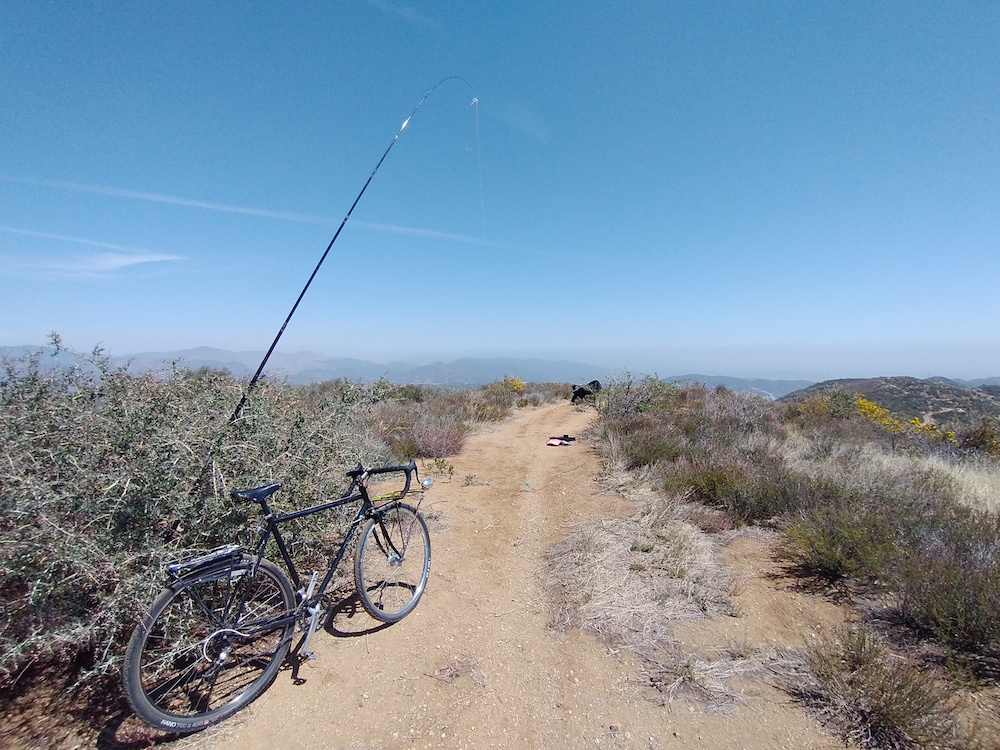
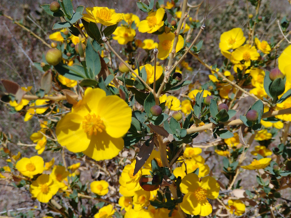
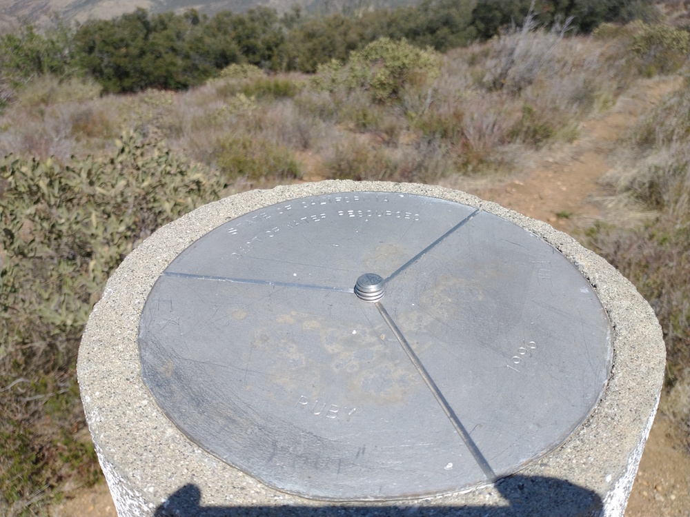
This is a fun area to cycle; not too steep and the fire roads are in nice shape. Started out on 6N53 which is paved. Eventually you will come to a split in the road, where commercial towers sit. For W6/CT-263, stay to the right down the dirt road, 6N53b. Eventually you will find a Eagle Scout project/ picnic area on the right hand side, which is the trail down to the scout camp. Form here, you can sorta make out an old 2 track trail which goes up the hill. I pushed the bike up this part until it was flat/ hard enough to continue cycling. Using my GPS, I found the summit and setup my station. Worked 20M, and 40M, then 70cm SSB.
After all the chasers were gone, I decided to cycle over to W6/SC-076, Whitaker Peak. Go back to the transmission tower and take 6N53a all the way to another tower installation. From here, you need to sneak around the fence and traverse down the ridge over to the summit. Sadly, the tower site was extremely busy with workers, and I couldn’t get the bicycle past all their idling trucks. Additionally, there wasn’t anywhere to really hide my bike. Sadly, I turned around and went back to the car.
I’ve summited Whitaker Peak before, but didn’t activate it because my battery was dead when I got there. Doh! I did have a working pen and signed the summit log, which was pretty empty. Maybe I’ll actually get to activate it on my third attempt, which likely won’t involve a bicycle that I need to hide in the bush.
https://sotl.as/summits/W6/CT-263
Max elevation: 4103 ft
Total climbing: 2674 ft
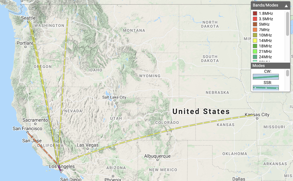
Date:12/04/2021 | Summit:W6/CT-263 (4020)
| Time | Callsign | Band | Mode | Notes |
|---|---|---|---|---|
| 20:12 | NOWAE | 14MHz | SSB | S55 R55 |
| 20:13 | NG6R | 14MHz | SSB | S55 R44 |
| 20:14 | KG6MZS | 14MHz | SSB | S55 R45 |
| 20:15 | K6MW | 14MHz | SSB | S53 R55 |
| 20:17 | WU7H | 14MHz | SSB | S45 R22 |
| 20:19 | W0MNA | 14MHz | SSB | S55 R33 |
| 20:20 | WW7D | 14MHz | SSB | S48 R43 |
| 20:31 | K6EL | 7MHz | SSB | S59 R55 |
| 20:57 | K6LDQ | 433MHz | SSB | S59 R59 |